The 3 Most Amazing Peaks in Bezirk Horn
Best mountain peaks in Bezirk Horn are characterized by rolling hills, dense woodlands, and scenic river valleys, offering a landscape of modest elevations rather than towering peaks. The region provides diverse terrain for outdoor exploration, often connecting natural beauty with historical sites. This area is ideal for those seeking tranquil natural landscapes and cultural exploration.
Best mountain peaks in Bezirk Horn
- The most popular mountain peaks is Kogelsteine, a natural monument that offers a wonderful view of the Weinviertel.…
Last updated: November 2, 2026
Pope’s Tower
Highlight • Viewpoint
In 1983 the Papal Observatory was opened near Doberndorf. This was built on the occasion of the …
Translated by Google •
Tip by

Kogelsteine
Highlight • Natural Monument
A historical place - as many finds prove, our ancestors already enjoyed this place.
Translated by Google •
Tip by

Sign up now to discover places like this
Get recommendations on the best single tracks, peaks, & plenty of other exciting outdoor places.
Feldberg
Highlight • Viewpoint
Translated by Google •
Tip by

Kirchenberg
Highlight • Religious Site
Showing Translation
Tip by

Eichberg
Highlight • Summit
Exactly at this point is a trigonometric point (TP 89-21) of the Federal Office of Metrology and Surveying.
Showing Translation
Tip by

Start today with a free account
Your next adventure awaits.
Popular around Bezirk Horn
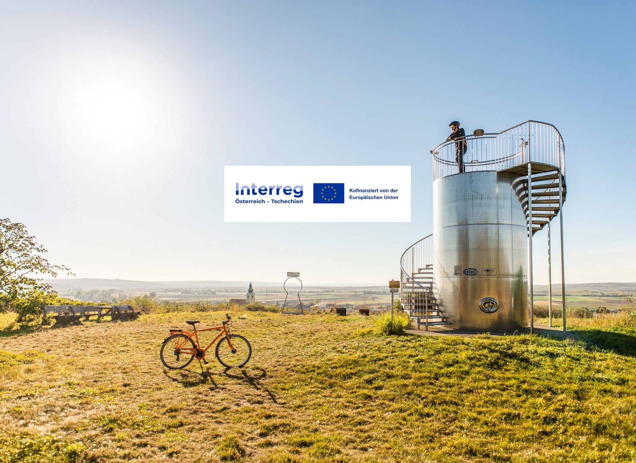
Discover the Schmidatal: Cycling between wine, vastness and pleasure
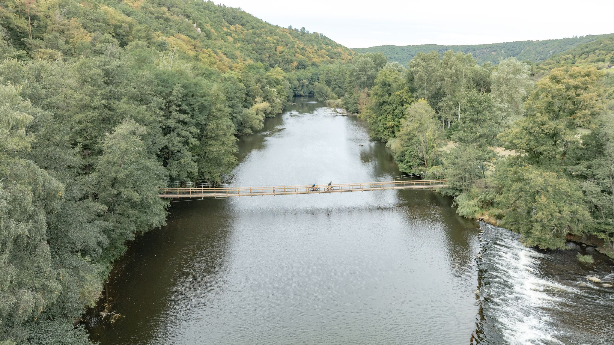
Long and short cycling Tours in the Waldviertel
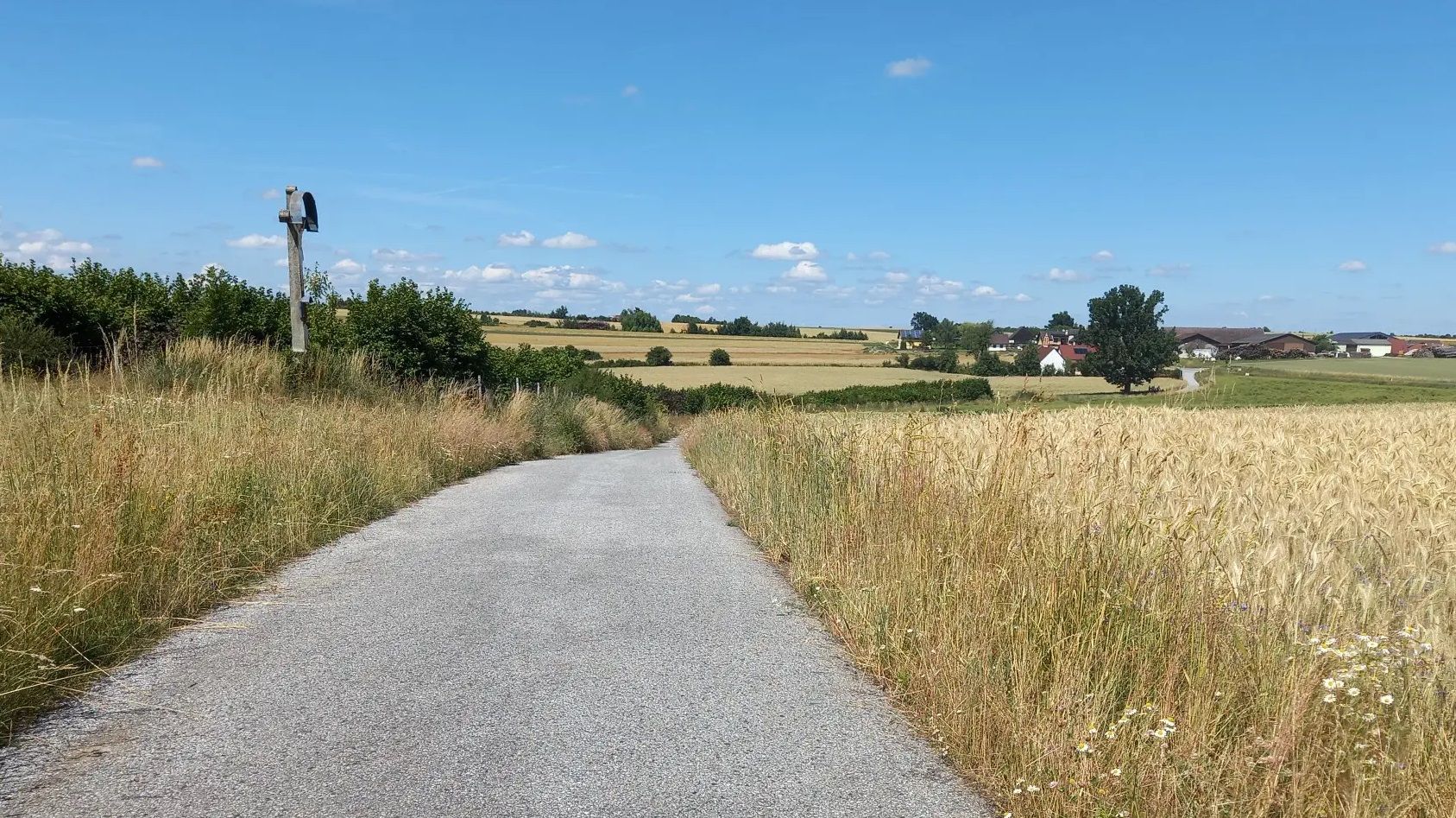
Cycling away from the crowds – Austria’s Kamp-Thaya-March Cycle Route

Cycling in Bezirk Horn

Hiking in Bezirk Horn
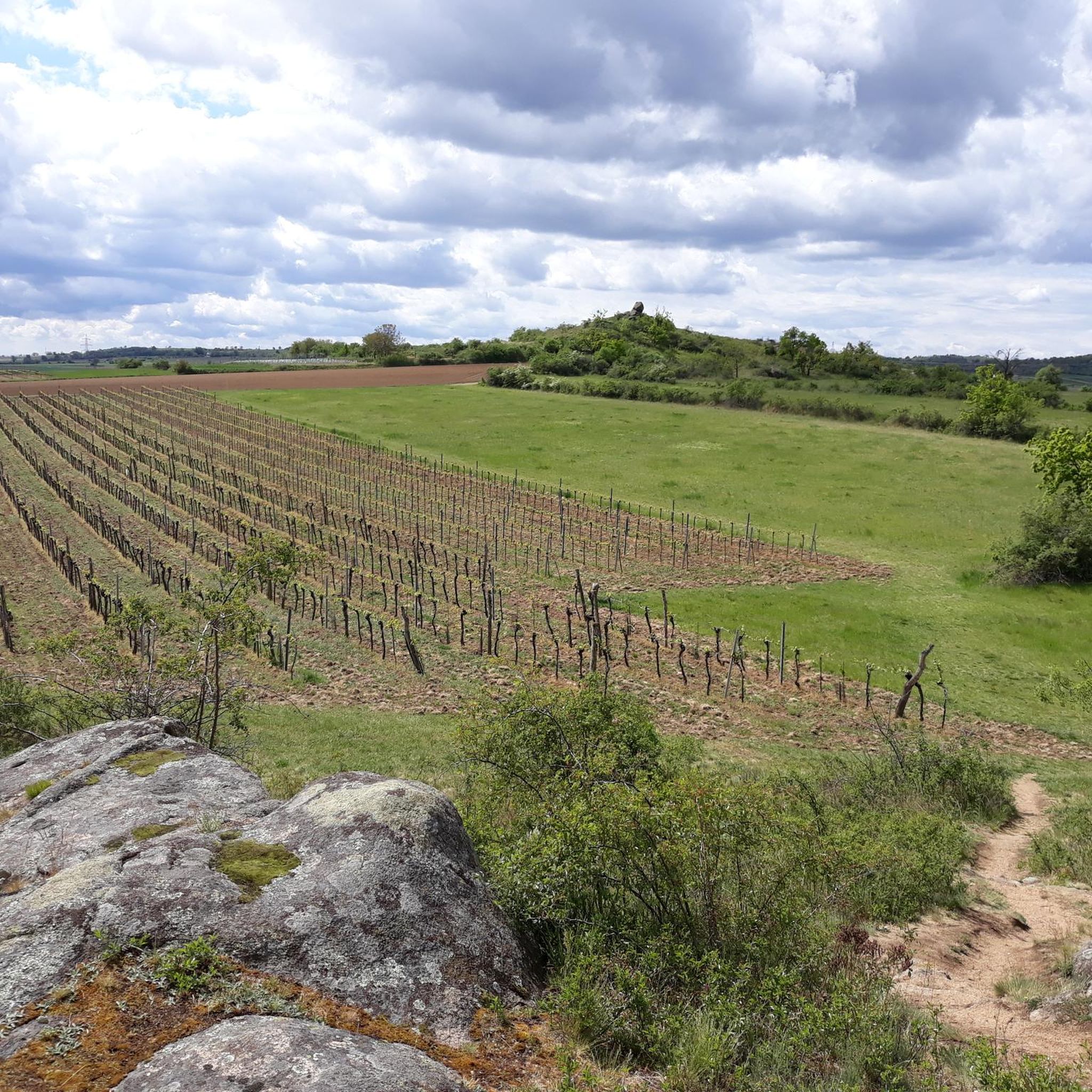
Road Cycling Routes in Bezirk Horn

MTB Trails in Bezirk Horn

Running Trails in Bezirk Horn

Gravel biking in Bezirk Horn
Other adventures in Bezirk Horn


Tips from the Community

The Eichberg, at 452 m above sea level, is the highest elevation in the cadastral municipality of Stockern. Exactly at this point is a trigonometric point (TP 89-21) of the Federal Office of Metrology and Surveying.
0
0

Beautiful church on a hill with a great panoramic view over the Weinviertel and beyond.
0
0
What you discover when you ride the "Wald & Reben" bike tour!
1
0

High above Wartberg, the Catholic Church of St. Leonhard lies on the Kirchberg
0
0

Unfortunately, it is almost no longer accessible (logs were deliberately deposited here) and the ascent is blocked.
1
0

In 1983, the Papstwarte near Doberndorf was opened. It was built on the occasion of the visit of Pope John Paul II. With a total of 119 steps, you reach a height of 24 meters - the tower itself is located at an altitude of 497 meters above sea level. It was designed by Robert Krapfenbauer, who was born in Rodingersdorf in 1923. Doberndorf belonged to Rodingersdorf until 1920 and the tower can be found in the middle of the forest about halfway between Doberndorf and Rodingersdorf - access by car is possible. The tower is not accessible as of September 2024. It is privately owned and cordoned off. It is currently not possible to say whether and when it will be open to the public again.
1
0

A beautifully developed quiet cycle path in a beautiful landscape - I came from the prehistoric cycle path
0
0
The Feldberg offers a wonderful view over the vineyards of Roggendorf, Klein Jetzelsdorf and Röschitz. Due to the granite, a dry grassland has formed here, where there is much to discover nearby thanks to the unique flora that has developed there.
1
0
Frequently Asked Questions
What are some notable elevated points or "peaks" to explore in Bezirk Horn?
While Bezirk Horn is known for its rolling hills rather than towering mountains, several elevated points offer great views and experiences. These include the Pope’s Tower, the historical Kogelsteine, Feldberg with its vineyard views, the scenic Kirchenberg, and Eichberg, the highest elevation in Stockern.
What kind of views can I expect from the elevated points in Bezirk Horn?
Many elevated points in Bezirk Horn offer expansive panoramic views. From the Pope’s Tower, you can see towards Horn, Pernegg, and Rodingersdorf. The Kogelsteine provide a wonderful view of the Weinviertel, while Feldberg overlooks the vineyards of Roggendorf, Klein Jetzelsdorf, and Röschitz. The Kirchenberg also boasts a great panoramic view over the Weinviertel and beyond.
Are there any historical sites or cultural landmarks on these elevated points?
Yes, several elevated points in Bezirk Horn are intertwined with history. The Kogelsteine is a historical place where ancestors once gathered. The Kirchenberg is home to the Catholic Church of St. Leonhard, a beautiful church on a hill. Additionally, the Pope’s Tower was built in 1983 to commemorate Pope John Paul II's visit.
What are the highest points in Bezirk Horn?
The highest point in Bezirk Horn is generally identified as Steinplatte (606 m). Other significant elevated areas include Stranitzberg (355 m), which is considered the most prominent, and Kohlberg (492 m). Among the highlights, Eichberg reaches 452 m above sea level.
What unique natural features can be found on these elevated points?
The region's geology contributes to unique natural features. For instance, the Feldberg, due to its granite composition, has formed a dry grassland with a unique flora. The Kogelsteine are described as feeling like a miniature Blockheide, known for its granite rock formations.
What is the best time of year to hike the elevated areas in Bezirk Horn?
The region is ideal for hiking throughout much of the year. Spring and autumn offer pleasant temperatures and beautiful scenery, with blooming wildflowers or vibrant fall foliage. Summer provides shaded trails through dense woodlands, while winter can offer a tranquil experience, though some paths might be less accessible depending on snow conditions.
Are there hiking trails near these elevated points?
Yes, Bezirk Horn offers an extensive network of hiking trails that often incorporate these elevated points and historical sites. You can find various routes, from moderate to difficult, such as the "Rosenburg on the Kamp – Ziennermühle (Rauschermühle) loop from Rosenburg" or the "Rosenburg Castle – Rosenburg on the Kamp loop from Gars-Thunau." For more hiking options, explore the Hiking in Bezirk Horn guide.
Can I find trails suitable for mountain biking or running in the vicinity?
Absolutely. The diverse landscape of Bezirk Horn is also great for mountain biking and running. There are numerous routes available, such as the "Kellergasse Scenic Path – Bicycle Bridge Over the Kamp loop" for MTB or various running loops from Horn and Mödring. Check out the MTB Trails in Bezirk Horn guide and the Running Trails in Bezirk Horn guide for detailed routes.
Are there family-friendly options for exploring the elevated areas?
While specific family-friendly ratings for each elevated point are not always available, the general character of Bezirk Horn's landscape, with its rolling hills and varied trail network, often caters to different skill levels. Many trails are suitable for family excursions, especially those that combine natural beauty with historical sites like castles and ruins. Always check the difficulty of specific routes before heading out.
How accessible are the elevated points in Bezirk Horn by public transport or car?
Access varies by location. For example, the Pope’s Tower near Doberndorf is accessible by car, though its current public access status may vary. Many trailheads for the region's hiking routes are reachable by car, and some towns like Gars-Thunau and Eggenburg have train stations, providing access to nearby trails. It's advisable to check specific transport options for your chosen starting point.
What should I bring for a hike in the elevated areas of Bezirk Horn?
For hiking in Bezirk Horn, it's recommended to bring sturdy hiking shoes, appropriate clothing for the weather, sufficient water, and snacks. A map or GPS device (like komoot) is helpful for navigation. If you plan to visit historical sites, consider bringing a camera. For trails through woodlands, insect repellent can be useful during warmer months.
Are there any dog-friendly trails around the elevated points?
Many of the natural trails and paths in Bezirk Horn are dog-friendly, allowing you to explore with your canine companion. However, always keep your dog on a leash, especially in nature reserves or near livestock, and be mindful of local regulations. Ensure you carry water for your dog and bags to clean up after them.
Most popular routes in Bezirk Horn
Most popular attractions in Bezirk Horn

Get inspired with the komoot mobile app


Didn’t find what you were looking for?
Discover Bezirk Horn’s best peaks and summits by region:
Explore more
See even more amazing summits in Bezirk Horn with these guides:
