The 5 Most Amazing Peaks around Kleinmölsen
Mountain peaks around Kleinmölsen are characterized by a landscape of hills and walking trails rather than prominent mountain summits. While the region does not feature distinct mountain peaks in the traditional sense, it offers opportunities for walking and enjoying nature. The geography of Kleinmölsen includes areas with modest elevation gains, suitable for easy to moderate hikes. These natural features provide various viewpoints and historical sites for exploration.
Best mountain peaks around Kleinmölsen
- The most popular mountain peaks is View from…
Last updated: July 29, 2026
View from Galgenberg
Highlight • Viewpoint
Showing Translation
Tip by

Fuchshügel (Highest point in Erfurt)
Highlight • Summit
Translated by Google •
Tip by

Sign up now to discover places like this
Get recommendations on the best single tracks, peaks, & plenty of other exciting outdoor places.
Sign up for free
Nödaer Warthe
Highlight • Monument
Translated by Google •
Tip by

Stunzelberg Summit
Highlight • Summit
Translated by Google •
Tip by

Start today with a free account
Your next adventure awaits.
Login or Signup
Tips from the Community

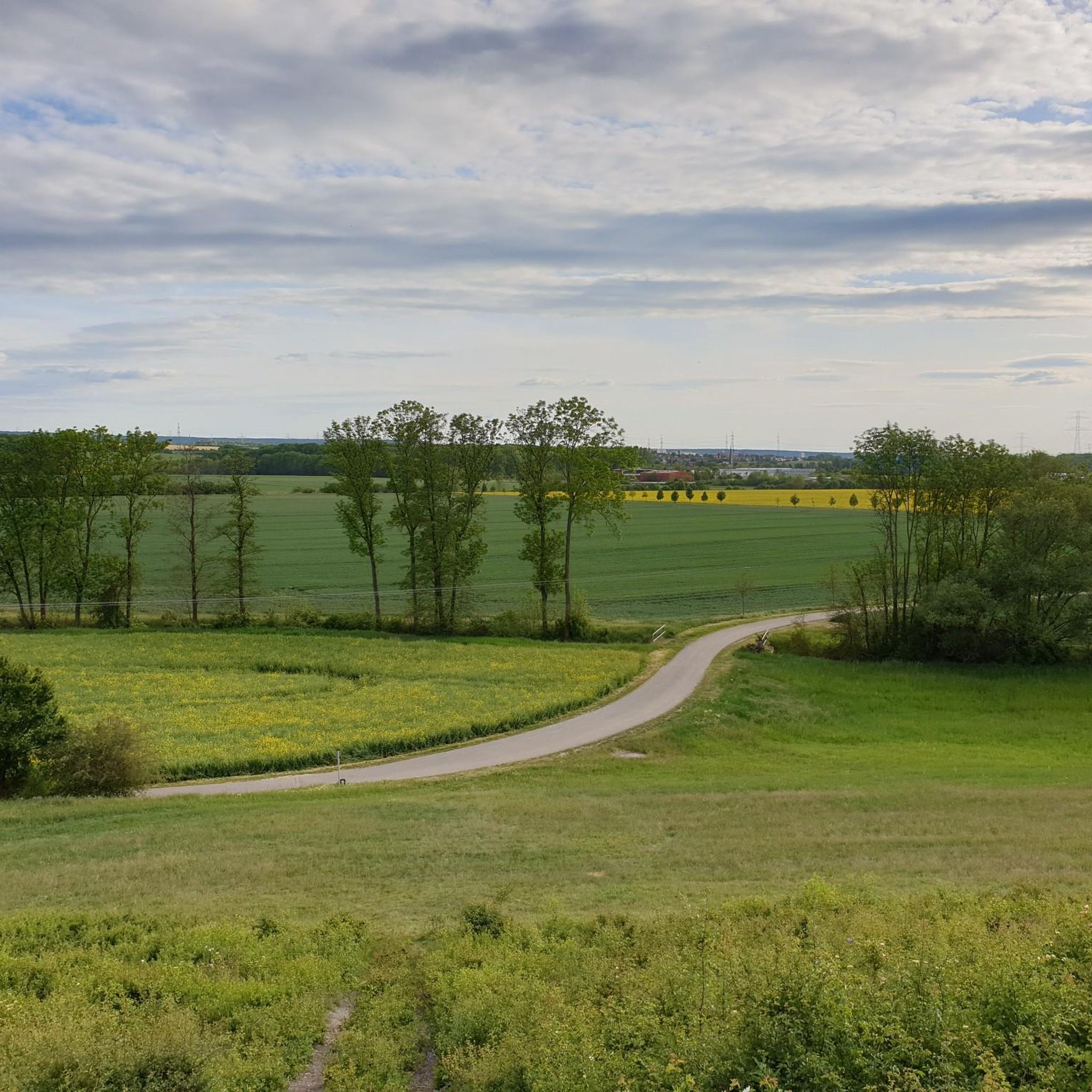
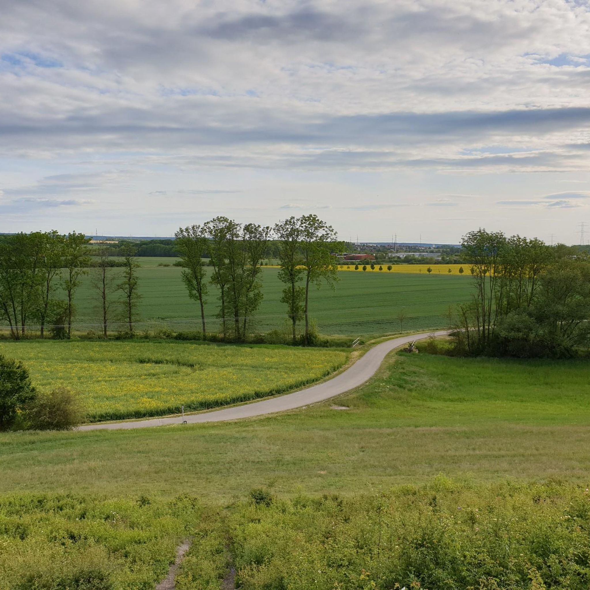
Historic viewpoint north of Erfurt, from which you have a wide view over the Thuringian Basin.
0
0


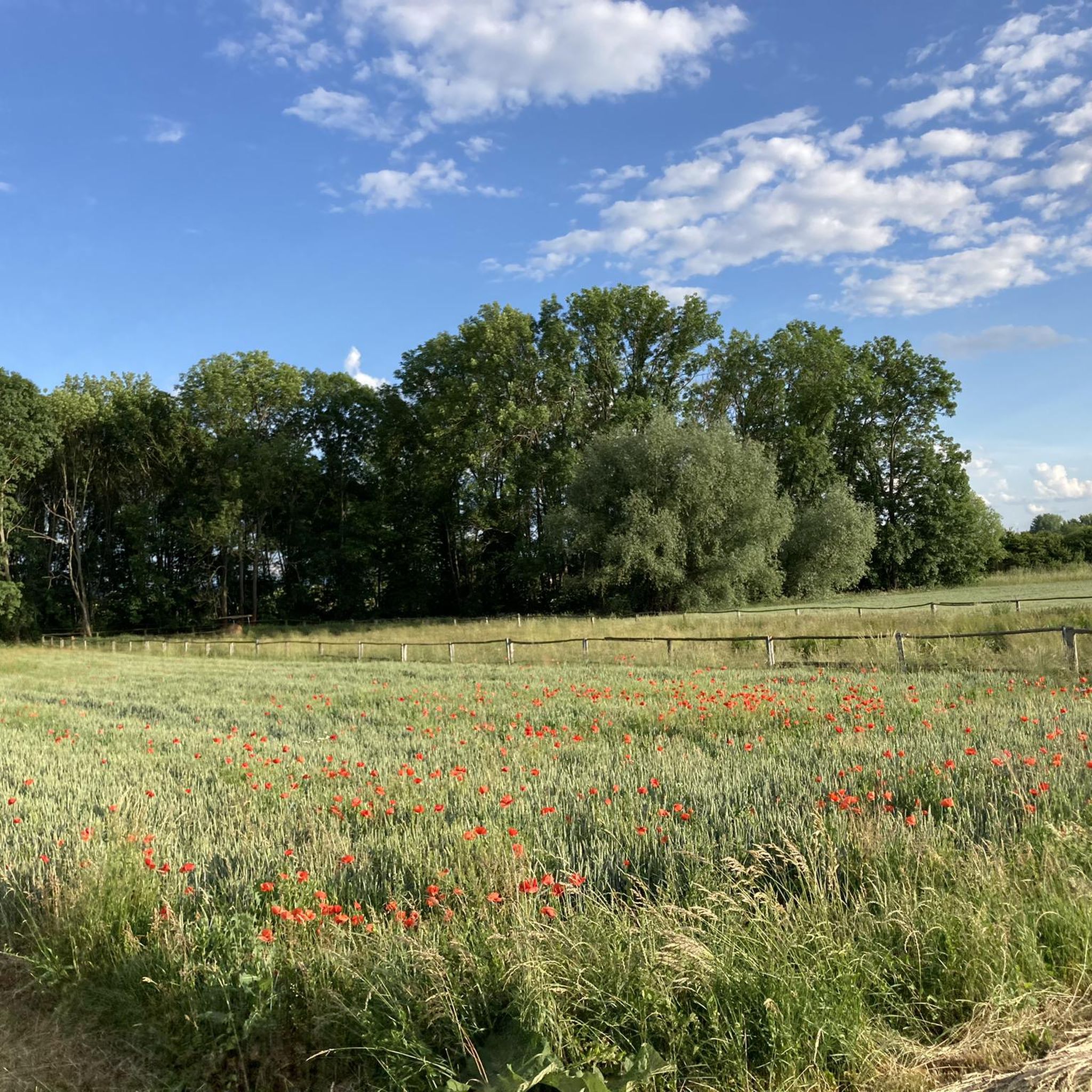
At 192 m, the Nödaer Warthe is the highest point in the village.
2
0

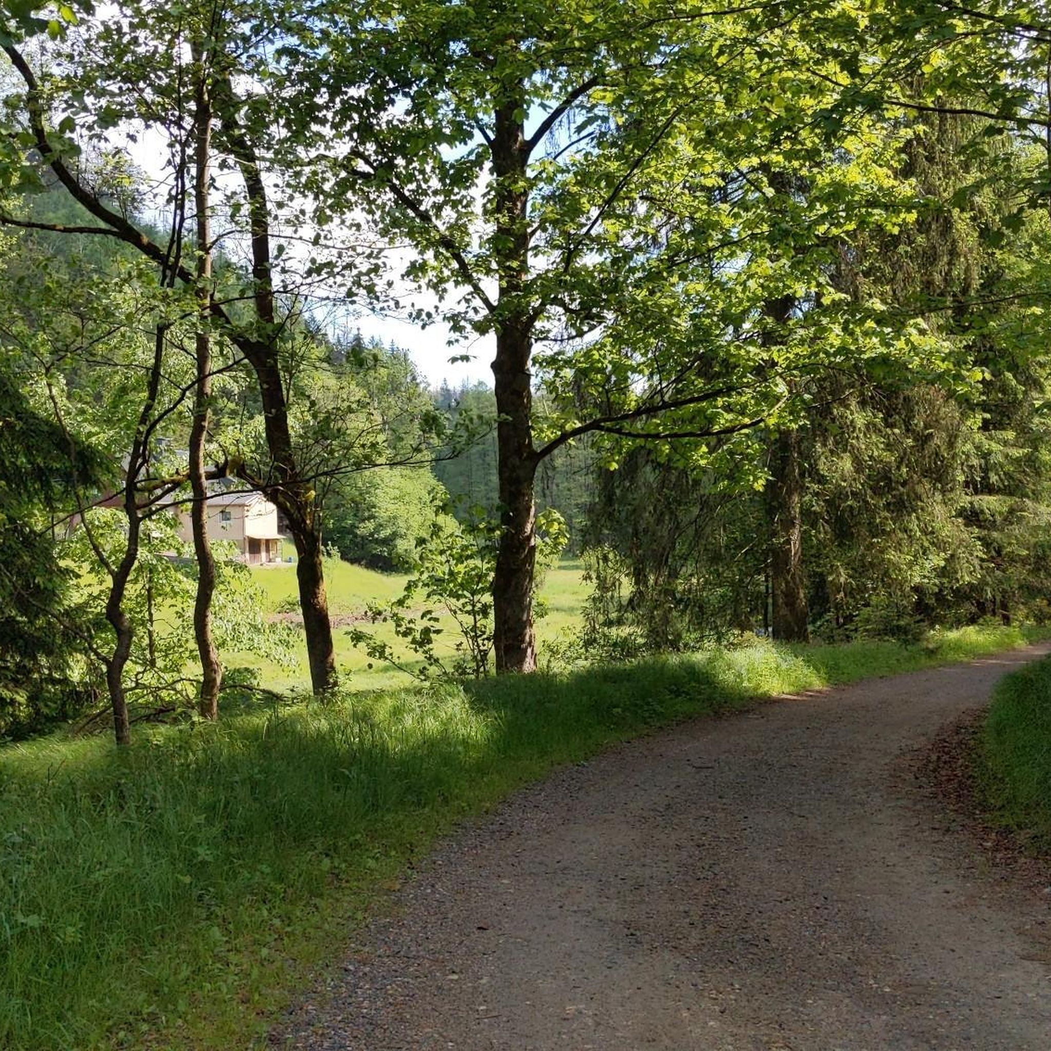
At 428 meters, the highest point of the Haarberg and the Erfurt city area.
2
1

Beautiful view from above of the city and towards Ettersberg, as well as wonderful nature, of course.
1
0
History of the Galgenberg When the insolvency of the city treasury became public at the next scheduled date on June 9, 1509, and the debt had already grown to 600,000 guilders, representatives of the guilds and the urban poor stormed the council chamber to depose the councilors. Kellner, who had triggered the unrest with an autocratic and provocative speech in the council chamber, initially managed to escape. "Who is the community? – This is the community!" Obervierherr Heinrich Kellner, pointing to himself, hurled this at the enraged citizens storming the council chamber on June 9, 1509. In these words lay the self-confidence of a patrician ruling class of wealthy merchants and war profiteers, who determined the fortunes of the city. However, they had driven Erfurt to ruin in the preceding decades, which now provoked the popular wrath. This went down in history as the "crazy year".[4] Alarmed by the unrest in the city, the Elector of Mainz and the Saxon Dukes began a game of intrigue to consolidate their influence in the city. Mainz made common cause with the guilds, while the Dukes supported the noble and council families. After his arrest, Kellner's fate was sealed; after agonizing torture and public condemnation, he was hanged on the Galgenberg on June 28, 1509. Source: Wikipedia
3
0

At 347.9 m, the highest point on the riser. Unfortunately, the site is off the beaten path.
4
1

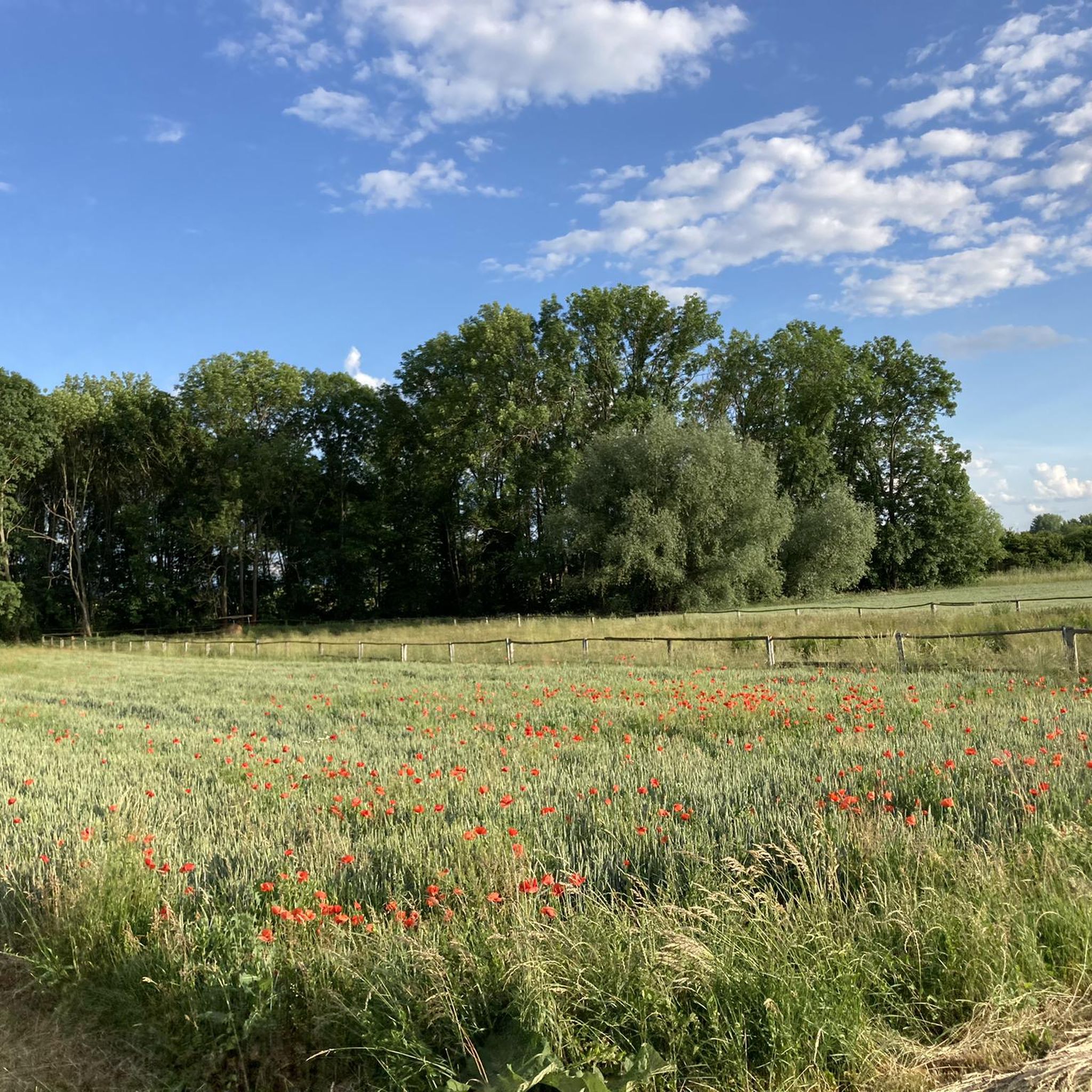
At 430m above sea level the highest point in the Erfurt city area.
1
0
Frequently Asked Questions
What kind of elevated points or 'peaks' can I expect to find around Kleinmölsen?
The landscape around Kleinmölsen is characterized by hills and walking trails rather than prominent mountain summits. You'll find areas with modest elevation gains, suitable for easy to moderate hikes, offering various viewpoints and historical sites. These are more akin to elevated points or hills rather than traditional mountain peaks.
Are there any historical viewpoints or sites among the elevated points near Kleinmölsen?
Yes, several elevated points offer historical significance and great views. For instance, the View from Galgenberg is a historical site related to the 1509 revolt of Erfurt's city population, providing wide views. Another is Nödaer Warthe, a man-made monument and historical viewpoint that is the highest point in its village and offers extensive views over the Thuringian Basin.
What is the highest point in the Erfurt city area near Kleinmölsen?
The highest point in the Erfurt city area is Fuchshügel, reaching over 400 meters. This summit is characterized by a forest environment.
Are there family-friendly elevated points or trails around Kleinmölsen?
Yes, some elevated points are considered family-friendly. The View from Galgenberg and Nödaer Warthe are both suitable for families, offering accessible views and historical context.
What natural features can I explore on the elevated trails near Kleinmölsen?
Beyond viewpoints, you can explore natural features like the forest environment at Fuchshügel. The Summit of Roter Berg, for example, is a recultivated area known for its red Keuper rock and is a protected landscape element with existing biotopes and near-natural areas.
What outdoor activities can I do near these elevated points around Kleinmölsen?
The region around Kleinmölsen is excellent for various outdoor activities. You can find numerous routes for hiking, cycling, and mountain biking. For hiking, consider routes like the 'Schwabenberg – Church of Kerspleben loop' or the 'War Memorial 1913 – Bachstedter Loch loop'. You can find more details on these and other routes in the Hiking around Kleinmölsen guide.
Are there specific hiking trails near the elevated points in Kleinmölsen?
Yes, there are many hiking trails. For example, you can explore routes like the 'Schwabenberg – Church of Kerspleben loop' (7.8 km, moderate) or the 'Church of Kerspleben – Wind Turbine Loop Kerspleben loop' (4.7 km, easy). These trails offer modest elevation changes suitable for enjoyable walks. Discover more options in the Hiking around Kleinmölsen guide.
What is the best time to visit Kleinmölsen for hiking and exploring its elevated points?
The region around Kleinmölsen is generally suitable for walking and enjoying nature throughout much of the year. Spring and autumn offer pleasant temperatures and vibrant scenery, while summer is great for longer days. Even in winter, with appropriate gear, the trails can be explored, though some paths might be muddy or icy.
What are the difficulty levels of the hikes around Kleinmölsen's elevated areas?
The hikes around Kleinmölsen typically feature modest elevation changes, making them suitable for easy to moderate difficulty levels. For example, routes like the 'Church of Kerspleben – Wind Turbine Loop Kerspleben loop' are rated easy, while others like the 'Schwabenberg – Church of Kerspleben loop' are moderate. More challenging options like the Stunzelberg Summit are also available for experienced hikers.
Can I find cafes, pubs, or accommodation near the elevated points and hiking routes in Kleinmölsen?
While specific establishments directly on the elevated points are unlikely, Kleinmölsen and its surrounding villages offer various options for cafes, pubs, and accommodation. It's advisable to check local listings in towns like Vieselbach or Kerspleben for amenities close to your chosen starting points.
What do visitors appreciate most about the elevated points and trails around Kleinmölsen?
Visitors particularly enjoy the wide views offered by spots like View from Galgenberg and Nödaer Warthe. The historical significance of these sites also adds to the experience. The komoot community has shared over 20 photos and given more than 40 upvotes, highlighting the appeal of these natural and historical features.
Are there any specific tips for visiting the elevated points around Kleinmölsen?
When visiting, consider bringing a picnic blanket, snacks, and drinks to enjoy the views, especially at spots like View from Galgenberg. Be aware that some areas, like the Stunzelberg Summit, might be remote and off the beaten path.
Most popular attractions around Kleinmölsen

Get inspired with the komoot mobile app


Explore more
See even more amazing summits around Kleinmölsen with these guides:
