The 3 Most Amazing Peaks around Mühlhausen
Best mountain peaks around Mühlhausen are characterized by rolling hills, river valleys, and dense woodlands rather than towering summits. Located in the heart of Germany within the Thuringian Basin, the region offers diverse elevated natural areas. These areas provide extensive networks of trails for exploring dense woodlands and discovering scenic viewpoints. The highest elevations directly within Mühlhausen's terrain reach approximately 400 meters.
Best mountain peaks around Mühlhausen
- The most popular mountain peaks is St. Michael's Chapel, a religious building and summit that stands at 302 meters above sea level. This chapel offers views and is part of a geographical triangle with other chapels.
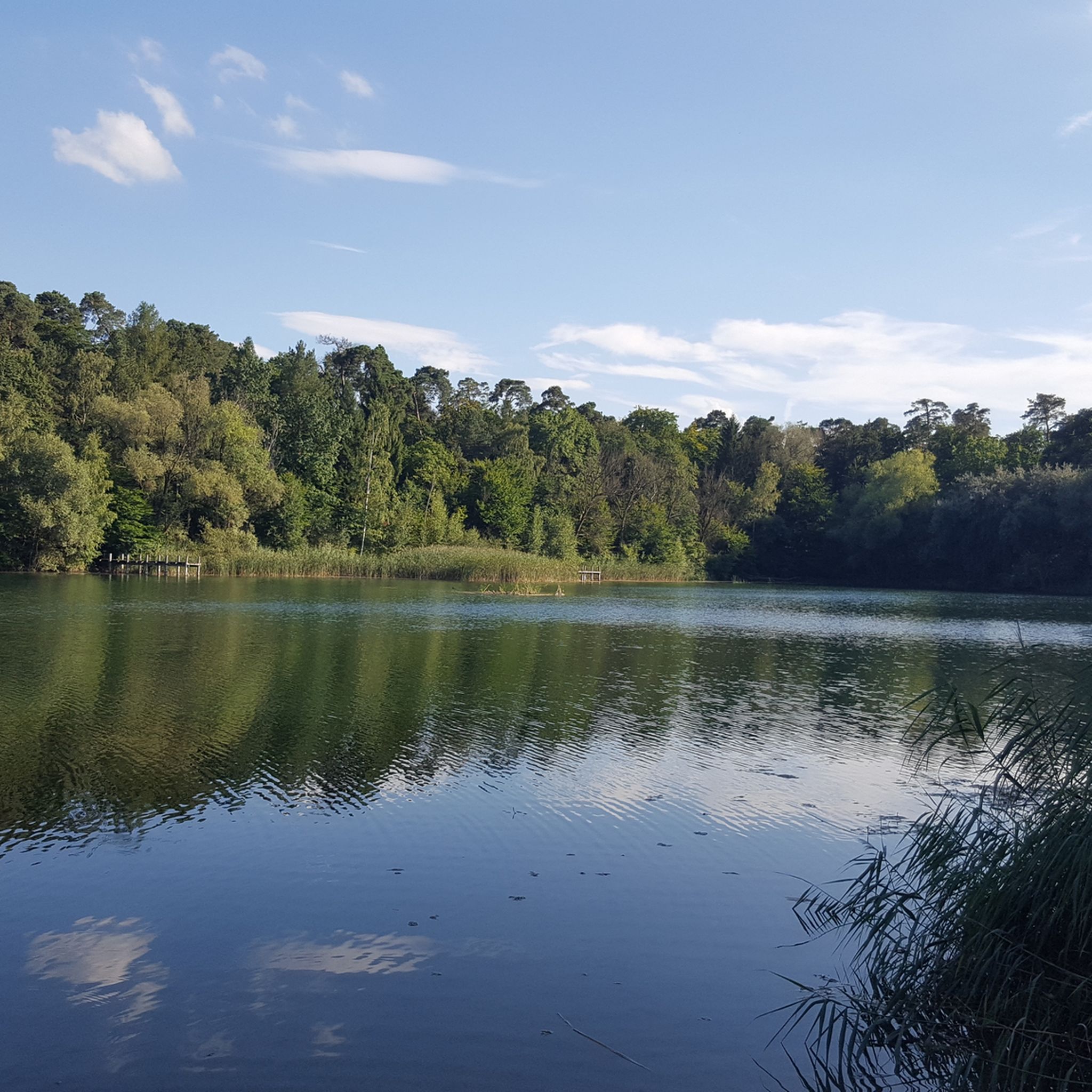
- Another must-see spot is Highest point at Hirschberg (317 m), a summit and viewpoint within a forest. This location is locally recognized as the highest point in its immediate vicinity.
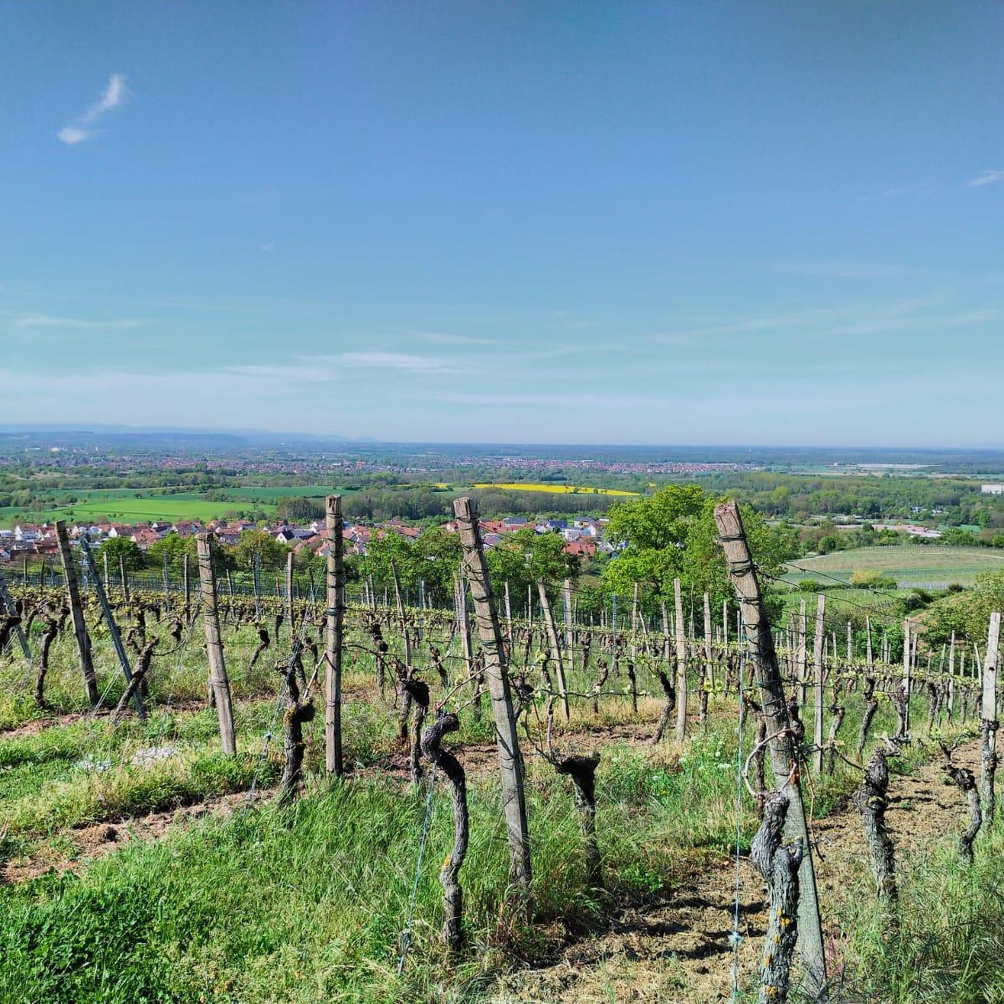
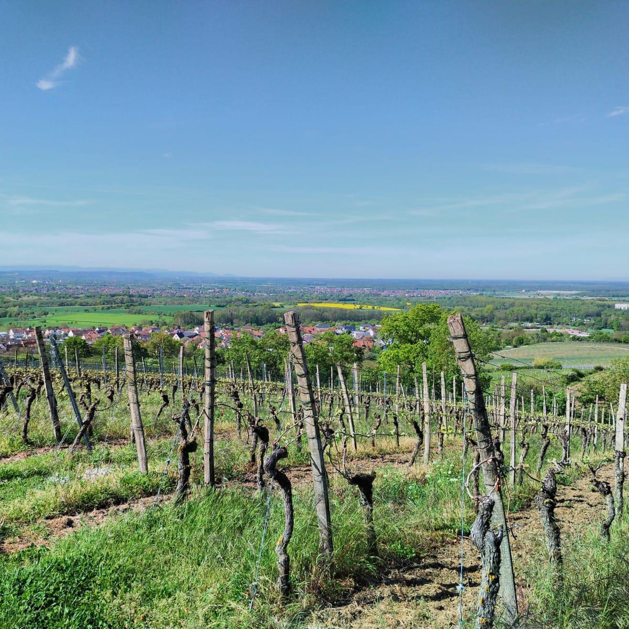
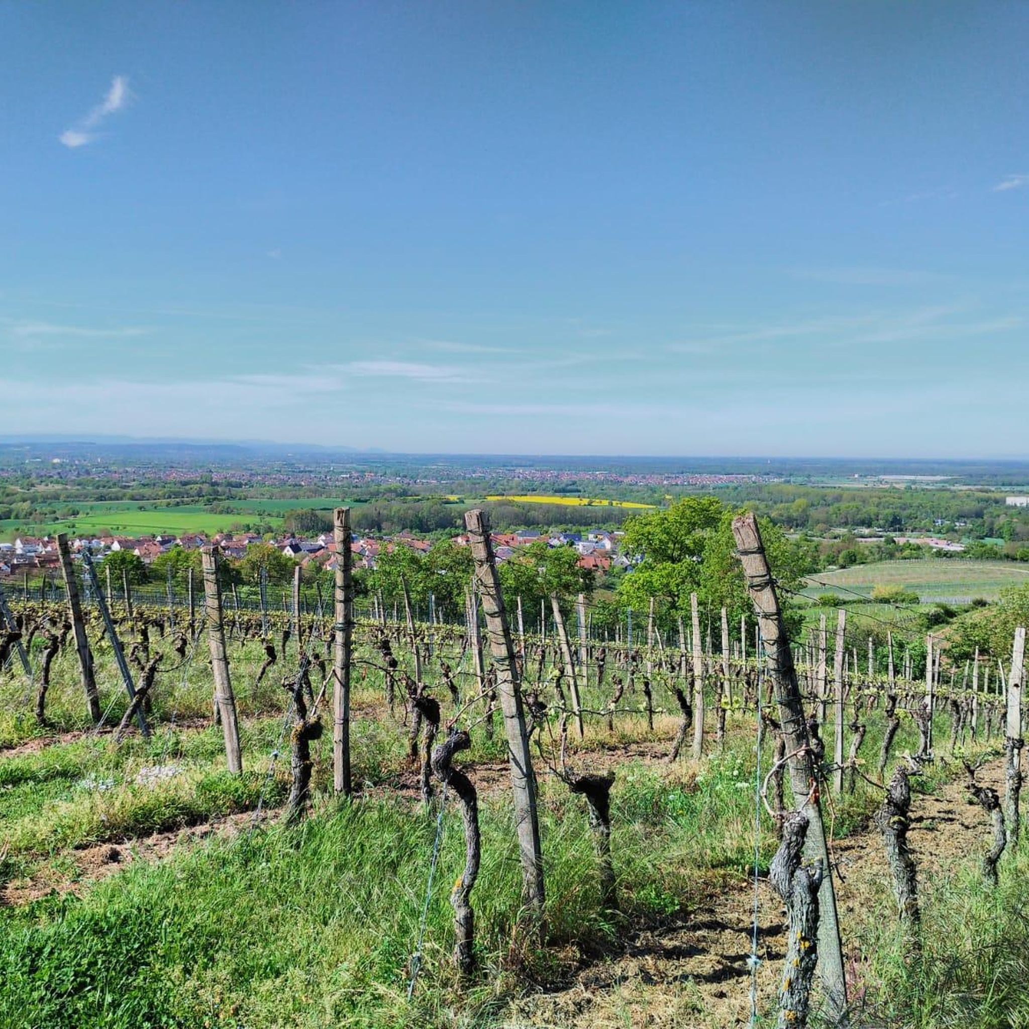
- Visitors also love View of the Black Forest from the Highest Point, a viewpoint and summit. This spot provides a wide view of the Black Forest from a bench at the highest point.
- Mühlhausen is known for its summits, viewpoints, and forest-covered elevated areas. The region offers a variety of elevated natural areas and historical sites to see and explore.
- The mountain peaks around Mühlhausen are appreciated by the komoot community, with 388 upvotes and 49 photos shared by visitors.
Last updated: October 3, 2026
Highest point at Hirschberg (317 m)
Highlight • Summit
Translated by Google •
Tip by

St. Michael's Chapel
Highlight • Religious Site
Sources: kath-oestringen.de/auf-einen-blick/seelsorgeeinheit/eichelberg; ka.stadtwiki.net/Michaelskapelle_Eichelberg
Translated by Google •
Tip by

Sign up now to discover places like this
Get recommendations on the best single tracks, peaks, & plenty of other exciting outdoor places.
Hilsbacher Eichelberg Communication Tower
Highlight • Monument
Translated by Google •
Tip by

View of the Black Forest from the Highest Point
Highlight (Segment) • Viewpoint
Translated by Google •
Tip by

Start today with a free account
Your next adventure awaits.
Tips from the Community


nice little chapel on tour
4
1

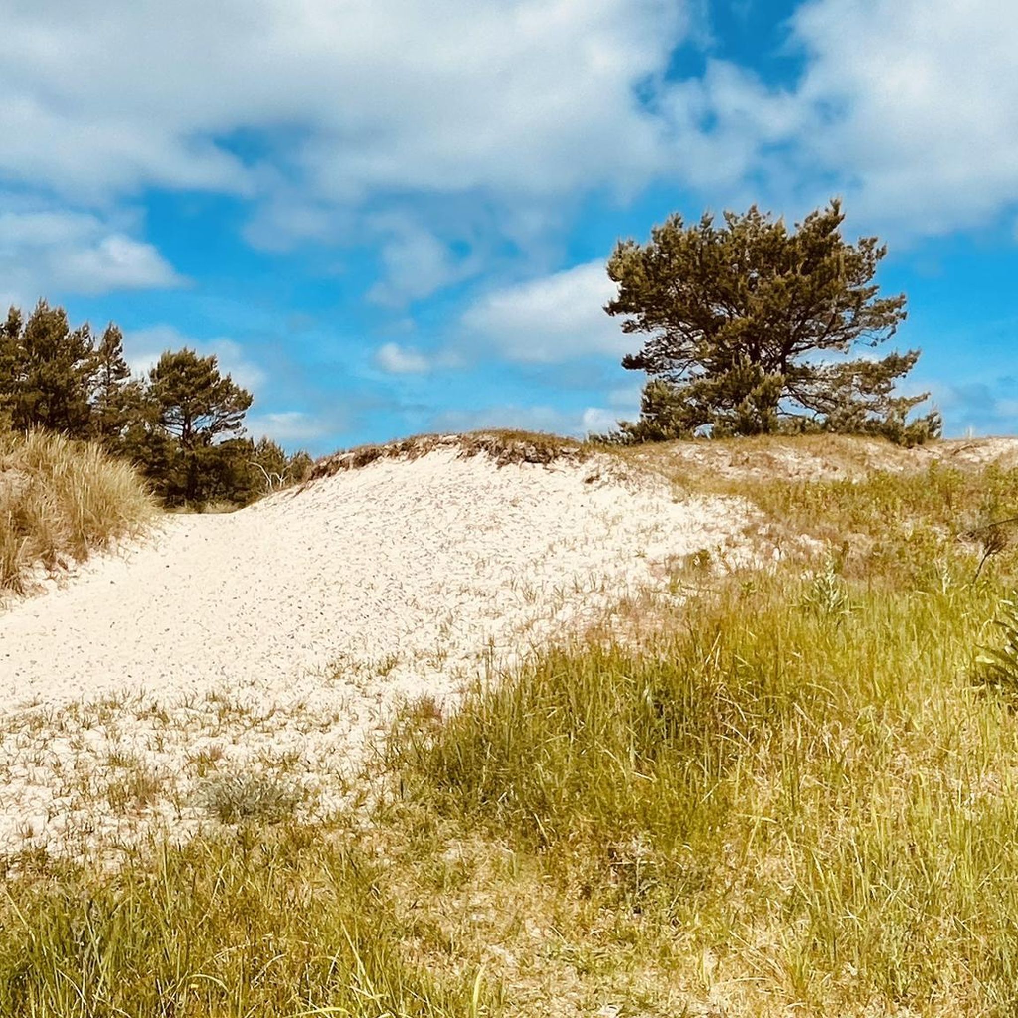
Hirschberg summit, 317m above sea level! Even if it looks quite inconspicuous, it is a summit (forested).
0
0

Bench at the highest point, wide view of the Black Forest, surrounded by a network of varied, almost traffic-free, asphalted farm roads in an idyllic landscape. Also not to be scoffed at: Häberle's farm café in the Weierbachsiedlung
0
0

Wonderfully situated above Eichelberg directly on the panorama path
4
0

Nice little chapel from the 18th century. Benches next to the chapel invite you to take a break with a view.
2
0

This church was dedicated to the Archangel Michael. The name (coming from Hebrew) means "Who is like God?". He is often depicted - on paintings or as a statue - with a flaming sword, and occasionally a lance. Michael is - together with Raphael, Gabriel and Uriel - one of the four archangels who (according to human imagination) occupy the highest rank in the heavenly hierarchy of angelic beings. Their common feast day in the saints calendar is September 29th.
6
1

Up to the Hilsbacher Eichelberg
0
0
Frequently Asked Questions
What kind of "mountain peaks" can I expect around Mühlhausen?
The region around Mühlhausen is characterized by rolling hills, picturesque river valleys, and dense woodlands, rather than towering mountain peaks. The highest elevations directly within Mühlhausen's terrain reach approximately 400 meters (1,312 feet), with the broader district's highest point, "Rain," at 518 meters (1,699 feet). You'll find diverse elevated natural areas perfect for hiking and scenic viewpoints, such as those within the Hainich National Park.
Are there any prominent viewpoints or summits to visit near Mühlhausen?
Yes, several spots offer elevated perspectives. You can visit the Highest point at Hirschberg (317 m), which provides a sense of achievement at a local high point. Another option is the View of the Black Forest from the Highest Point, offering wide vistas from a bench. For a unique blend of history and views, consider the Rabenturm, a historic city fortification offering panoramic views over Mühlhausen and the surrounding countryside.
What are some popular hiking trails around the elevated areas of Mühlhausen?
The region offers a variety of hiking trails. For a moderate challenge, consider the Galgenberg Hut Tairnbach – Tairnbach Viewpoint Marker loop, which is about 11.4 km (7.1 miles) and takes around 3 hours. The Mühlhausen City Forest, part of the Hainich, also features accessible paths like the Brettwaldweg – Ruhende Kraft sculpture loop. You can find more hiking options in the Hiking around Mühlhausen guide.
Are there family-friendly hiking options near Mühlhausen's elevated areas?
Absolutely. The Highest point at Hirschberg (317 m) is categorized as family-friendly. The Mühlhausen City Forest also provides accessible paths suitable for easy walks with the family. For more specific routes, check out the Dog-friendly hikes around Mühlhausen guide, which often includes routes suitable for families as well.
What historical sites can be found on or near these elevated points?
The St. Michael's Chapel on the Kapellenberg is a significant historical and religious site, built in 1748 at one of the district's highest points (302 m). It offers not only historical interest but also good views. Additionally, the Rabenturm, part of Mühlhausen's historic city fortifications, provides an elevated experience with a focus on history and urban vistas.
Can I bring my dog on trails around Mühlhausen's hills?
Yes, many trails in the Mühlhausen area are dog-friendly. For example, routes like the "Beautiful Valley – Stream With Lush Vegetation loop from Tairnbach" are suitable for walks with your canine companion. You can explore more options in the dedicated Dog-friendly hikes around Mühlhausen guide.
What natural features are prominent in the elevated areas around Mühlhausen?
The region is known for its dense woodlands, particularly within the Hainich National Park, which is famous for its old, near-natural beech forests. You can discover natural springs, such as the Spittel fountain, and enjoy the diverse experiences across rolling hills and extensive forest networks. The Highest point at Hirschberg (317 m) is situated within a forest setting.
What is the best time of year to visit the elevated areas and trails around Mühlhausen?
The region's rolling hills and woodlands are enjoyable throughout much of the year. Spring and autumn offer pleasant temperatures and beautiful scenery, with vibrant foliage in fall. Summer is also popular for hiking. While winter hiking is possible, conditions can vary, so it's always best to check local weather forecasts for snow or ice before heading out.
Are there other outdoor activities besides hiking near these elevated points?
Yes, the area around Mühlhausen is also popular for road cycling. You can find various routes, such as the "View of Burg Steinsberg – Cycle path along the Waldangelbach loop from Mühlhausen," which is an easy 31.3 km ride. For more cycling options, refer to the Road Cycling Routes around Mühlhausen guide.
What do visitors enjoy most about the elevated areas around Mühlhausen?
Visitors appreciate the varied terrain and accessibility of the hiking trails, which cater to different fitness levels. The dense woodlands, especially in Hainich National Park, are highly regarded for their natural beauty. Many also enjoy the scenic viewpoints that offer wide vistas of the surrounding countryside, providing a sense of tranquility and connection with nature.
Is there a communication tower that offers views or is a landmark?
Yes, the Hilsbacher Eichelberg Communication Tower is a prominent landmark that gives the Eichelberg a characteristic appearance, visible from afar. While the tower itself doesn't offer a public viewing platform, it marks a high point in the area and is part of the Hilsbacher Eichelberg adventure world.
Most popular routes around Mühlhausen
Most popular attractions around Mühlhausen

Get inspired with the komoot mobile app


Explore more
See even more amazing summits around Mühlhausen with these guides:
