The best running trails in San Gorgonio Wilderness
22
runners
5
runs
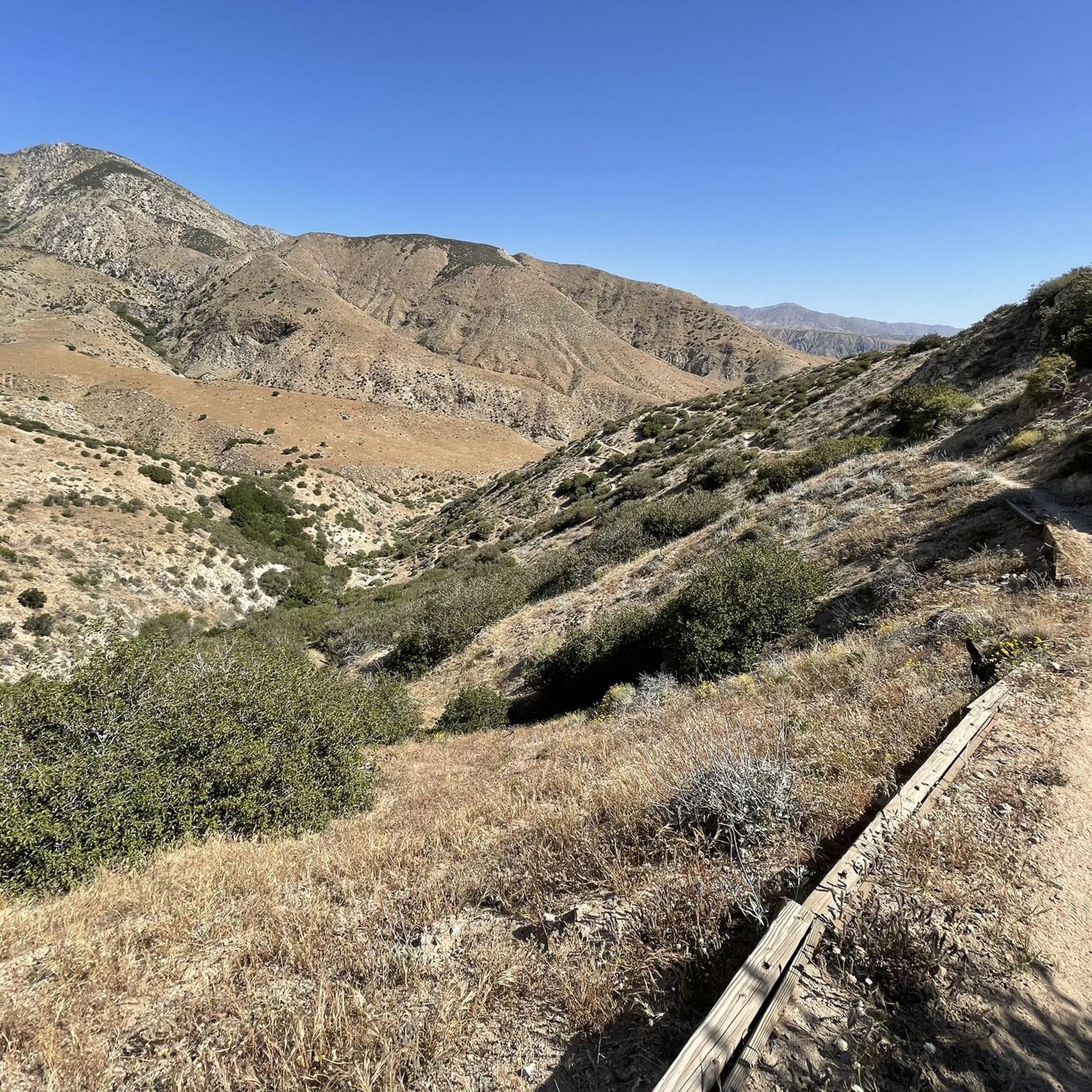
Jogging routes in San Gorgonio Wilderness traverse a landscape characterized by dramatic elevation changes, ranging from lower foothills to sub-alpine environments. The region features diverse ecosystems, including heavily forested areas, small lakes, and meadows, offering varied running experiences. Extensive trail systems, including sections of the Pacific Crest Trail, provide numerous options for trail runners. Water sources like the Santa Ana and White rivers, along with numerous streams, contribute to the natural beauty of the area.
Best jogging routes in San…
Last updated: September 29, 2026
4
runners
7.18km
00:54
120m
120m
Moderate run. Good fitness required. Mostly paved surfaces. Suitable for all skill levels.
4
runners
6.41km
00:51
210m
210m
Moderate run. Good fitness required. Mostly paved surfaces. Suitable for all skill levels.

3
runners
13.3km
01:44
290m
290m
Moderate run. Good fitness required. Mostly paved surfaces. Suitable for all skill levels.
8
runners
9.40km
01:10
140m
140m
Moderate run. Good fitness required. Mostly paved surfaces. Suitable for all skill levels.
3
runners
7.12km
00:45
60m
60m
Moderate run. Good fitness required. Mostly paved surfaces. Suitable for all skill levels.
Our route recommendations are based on thousands of hikes, rides, and runs completed by other people on komoot.
Start today with a free account
Your next adventure awaits.
Popular around San Gorgonio Wilderness
Tips from the Community

Easy ride up Whitewater Canyon Road to the Preserve. There you will find a nicely kept picnic area where you can day camp, hike or soak in the nice swimming hole. The canyon has a robust population of bighorn sheep, deer, and bear!
0
0

The Whitewater Preserve is a true oasis in a desert canyon. You can relax in the shade of huge trees near beautiful turquois and green pools. Enjoy the lovely hummingbirds that buzz around the ranger station and cool your feet in the wading pool. There are a lot of picnic benches, restrooms and potable water. Using the area is free of charge, but consider a donation for this unique place that once was a trout hatchery.
5
0
A beautiful oasis in the desert with a bubbling White River for a refreshing splash next to you. The Red Dome rises above the desert floor. There might be some mosquitos in spring and summer though.
2
1
A beautiful oasis in the desert with a bubbling White River next to you. The Red Dome rises above the desert floor. For hikers of the Pacific Crest Trail, this is a very much appreciated refreshment, so take your time and enjoy the cool water. There might be some mosquitos in spring and summer though.
5
0
If you want to get a real Wild Western feeling, you should stay a night or two in the lovely Pioneertown. It is not an old town, but you never feel like it is made to get into the tourist's pocket. There is a saloon, a general store and a lot of Wild Western setting.
4
1
Frequently Asked Questions
What kind of terrain can I expect on running routes in San Gorgonio Wilderness?
The San Gorgonio Wilderness offers a diverse range of terrain for runners, from lower foothills and canyons to steep, rugged mountains. You'll experience significant elevation changes, with trails transitioning through desert, coastal, and mountain ecosystems. Expect heavily forested regions, sub-alpine oases, and meadows, providing a varied and challenging running experience.
Are there any running routes that feature water sources or rivers?
Yes, the wilderness includes several notable water sources. You can explore routes near the Santa Ana and White rivers, and Mission Creek is known for its 'jungle-like' vegetation in some sections. The Whitewater River & Red Dome via PCT route, for instance, offers views of the beautiful Whitewater River Crossing, which is also a highlight in the area.
What are some scenic viewpoints or landmarks I can see while jogging in the San Gorgonio Wilderness?
The San Gorgonio Wilderness is rich with scenic spots. You can find panoramic views from higher elevations, sometimes stretching for miles. Notable landmarks include the Whitewater River Crossing and Mission Creek. Some campsites even offer views of Mount San Jacinto, providing stunning backdrops for your run.
Do I need a permit to jog or run in the San Gorgonio Wilderness?
Yes, permits are required for both day use and overnight stays in certain parts of the San Gorgonio Wilderness. It's essential to check the specific regulations for the area you plan to visit before heading out. For more detailed information, you can consult the official BLM website.
Are there any circular running routes available in the San Gorgonio Wilderness?
Yes, there are several circular running routes. For example, the Whitewater Preserve loop from Whitewater Preserve offers a moderate 6.4 km circuit. Another option is the Pioneertown loop from Pioneertown, which is a 9.3 km moderate route.
What is the best time of year for trail running in the San Gorgonio Wilderness?
The best time for trail running often depends on the specific elevation and trail. While lower elevations can be pleasant in spring and fall, higher trails might be inaccessible due to snow in winter. Summer can be very hot, especially at lower altitudes, so early mornings are recommended. Always check current weather conditions and trail status before your run, as some streams may not flow in late summer.
What is the difficulty level of most running routes in the San Gorgonio Wilderness?
The San Gorgonio Wilderness offers a range of trail difficulties, from accessible paths to those requiring very good fitness. The routes featured in this guide, such as the Running loop from Yucca Valley, are generally classified as moderate, providing a good balance of challenge and accessibility for many runners.
Are there any longer running routes for experienced trail runners?
For experienced trail runners looking for a longer challenge, the Running loop from Sawtooth Mountains Trailhead is a great option. It covers approximately 13.3 km with a moderate elevation gain, offering a more extended experience in the wilderness. The Pacific Crest Trail also runs through the wilderness, providing opportunities for long-distance running.
What kind of wildlife might I encounter while running in the San Gorgonio Wilderness?
The isolated environment of the San Gorgonio Wilderness is home to diverse wildlife. Runners might spot animals such as deer, mountain lions, and bighorn sheep. There are also various threatened and endangered plant and animal species in the area. Always be aware of your surroundings and respect the natural habitat.
Where can I find parking for trailheads in the San Gorgonio Wilderness?
Parking availability varies by trailhead. Many popular trailheads, such as those for the Whitewater Preserve or near Pioneertown, typically have designated parking areas. It's advisable to research the specific trailhead for your chosen route in advance to confirm parking options and any potential fees or permit requirements.
Most popular routes in San Gorgonio Wilderness
Most popular attractions in San Gorgonio Wilderness

Get inspired with the komoot mobile app


