The 4 Most Amazing Peaks around Karmøy
Mountain peaks around Karmøy, a municipality in Rogaland county, Norway, offer scenic views and hiking opportunities. While not exceptionally high, these peaks are significant within the local landscape. The region provides diverse natural features, including coastal trails and elevated viewpoints. Karmøy is known for its natural beauty and encourages an active lifestyle through its accessible trails.
Best mountain peaks around Karmøy
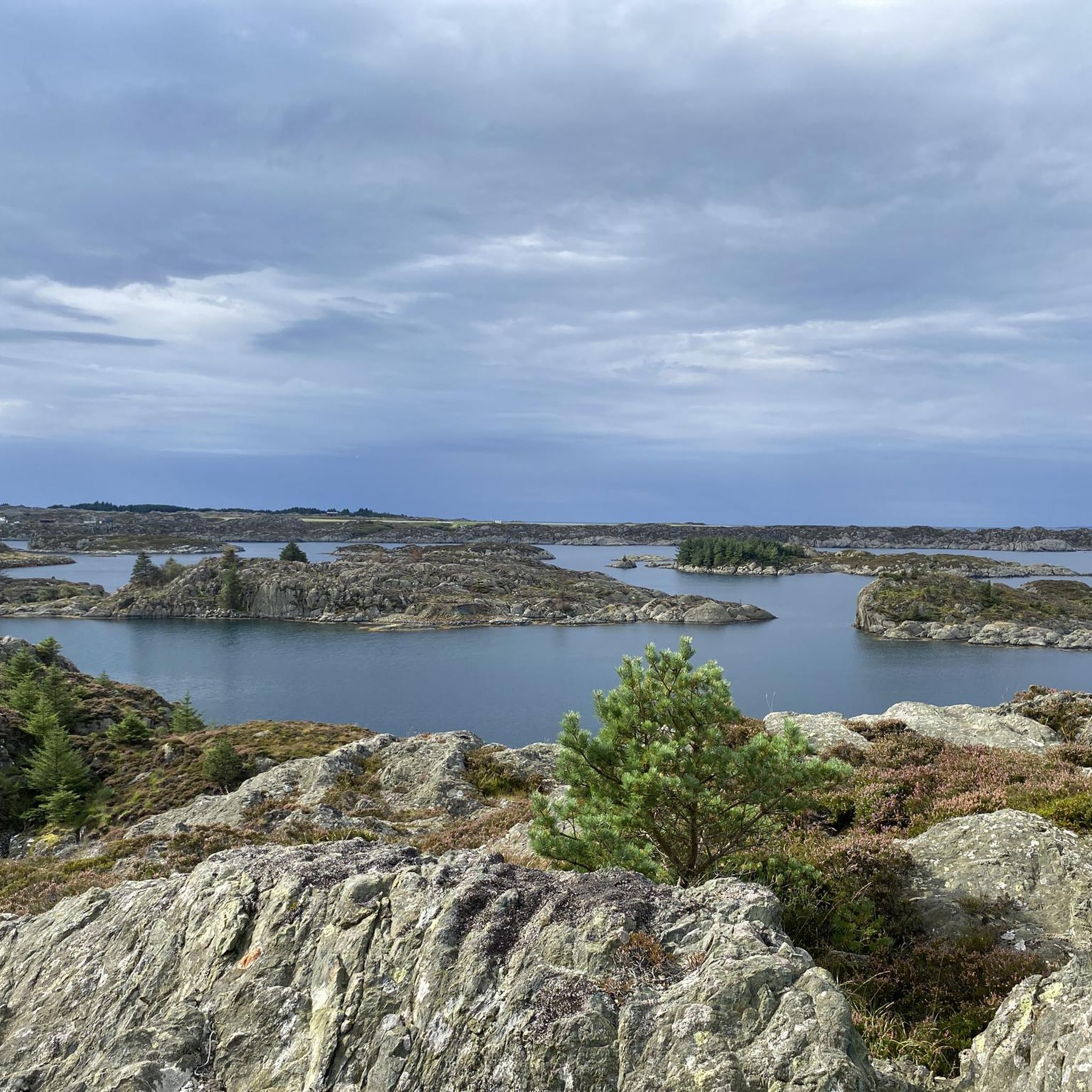
- The most popular mountain peaks is View from Mosskarsfjell, a viewpoint that offers a beautiful view over Haugesund.…
Last updated: July 24, 2026
View from Mosskarsfjell
Highlight • Viewpoint
Translated by Google •
Tip by

Boknafjellet Summit and Viewpoint
Highlight • Summit
Tip by

Sign up now to discover places like this
Get recommendations on the best single tracks, peaks, & plenty of other exciting outdoor places.
Sign up for free
Søre Krokavassnuten (249 m)
Highlight • Summit
Tip by
Trail to Valhest
Highlight • Trail
Tip by
Hodnafjellet Summit
Highlight • Summit
Tip by

Start today with a free account
Your next adventure awaits.
Login or Signup
Tips from the Community

After climbing up beautiful stone slabs that lead to this rocky summit, you will discover a magnificent 360-degree view. A pile of stones marks the official summit point.
0
0

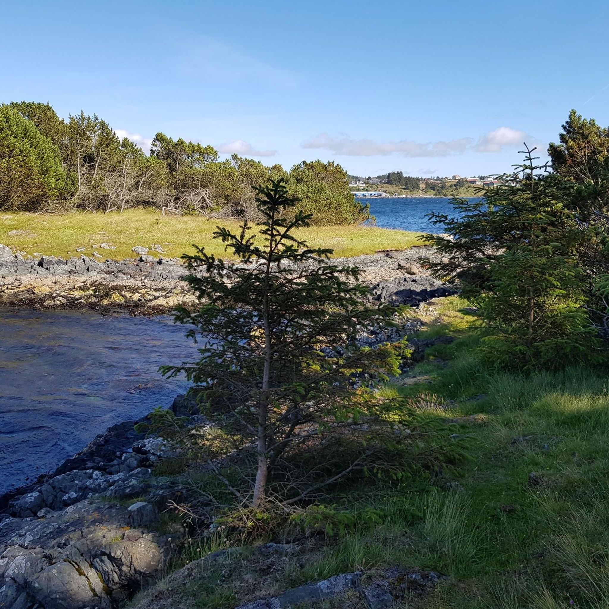
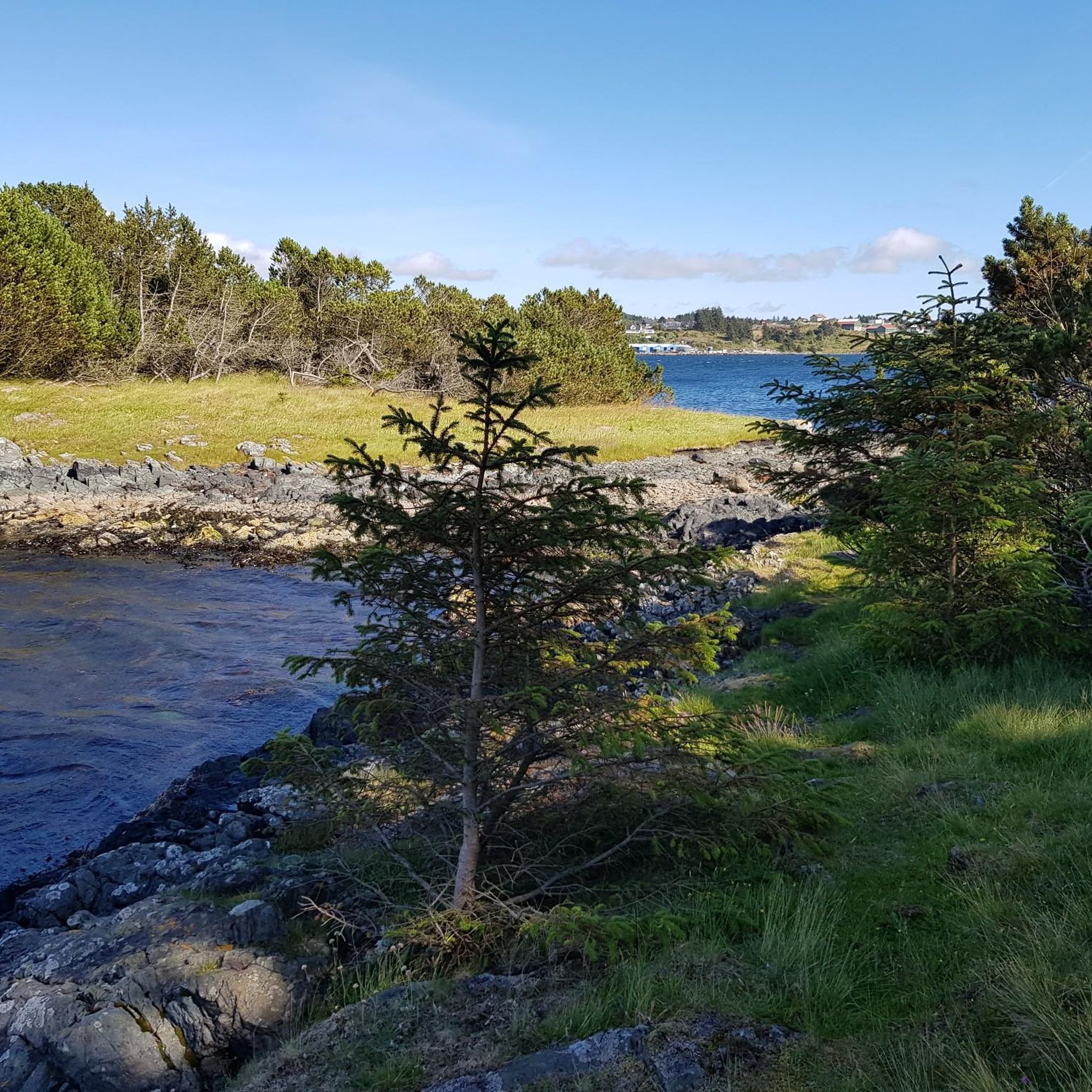
You walk peacefully along this trail, surrounded by nature. Green fields encircle you, and a cool stream runs close to the path. Continuing, you arrive at the summit of Valhest, from where you can enjoy a splendid panorama.
0
0
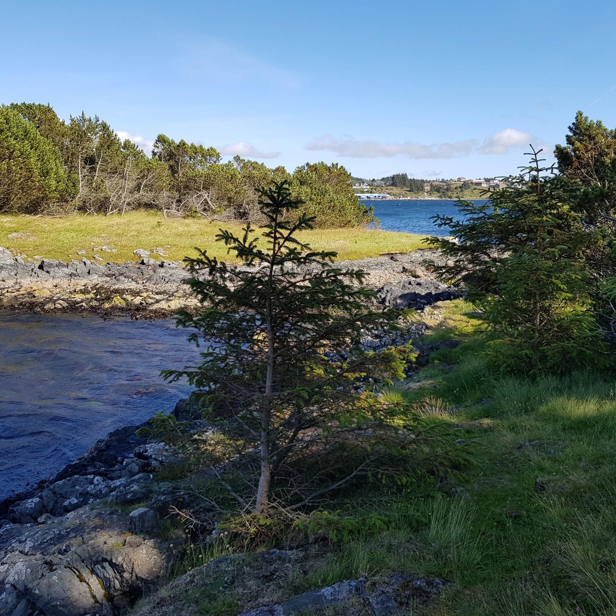
Søre Krokavassnuten is a minor peak commonly accessed from the Haugesund side. The top provides wide views over the surrounding moors and the coastal landscape of the Haugalandet region.
0
0
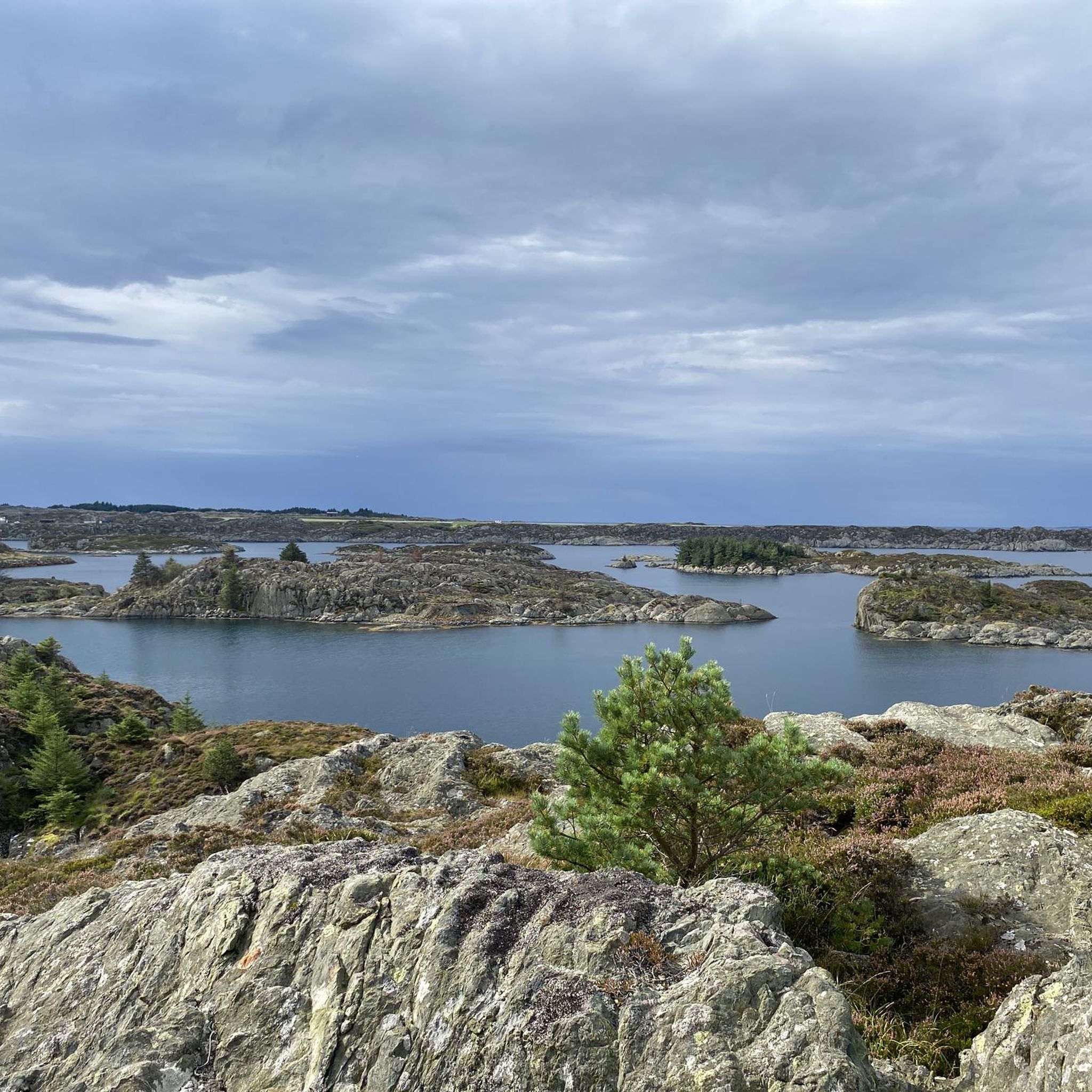
Here you can enjoy breathtaking, expansive views of the surrounding Norwegian landscape, encompassing fjords, mountains, and valleys. The effort is repaid by the beautiful panorama.
1
0

Great picture spot, able to see the whole county from here!
0
0

Beautiful view over Haugesund.
0
0
Peak with a view to the Steinsfjellet.
0
0
Frequently Asked Questions
What are the most popular mountain peaks and viewpoints to visit in Karmøy?
Karmøy offers several highly-rated peaks and viewpoints. Among the most popular are View from Mosskarsfjell, known for its beautiful vistas over Haugesund, and Boknafjellet Summit and Viewpoint, which provides expansive views of the Norwegian landscape, including fjords and valleys. Another favorite is Søre Krokavassnuten (249 m), offering wide views over the moors and coastal areas.
What is the highest point in Karmøy municipality?
The highest point in the entire Karmøy municipality is Dyrafjellet, standing at 171.58 meters (562.9 ft) above sea level. It is located on the mainland part of Karmøy and offers extensive views of the surrounding area.
What is the highest point on Karmøy island itself?
On Karmøy island, the highest point is Søre Sålefjell, with an elevation of 132 meters (433 ft). It's a popular and accessible peak for hikers.
Are there easy hiking trails to the mountain peaks in Karmøy?
Yes, many trails in Karmøy are considered easy. For instance, the hike to Søre Sålefjell via the Gruvevegen Trail is an easy 3.9-mile (6.30 km) route that takes approximately 1 hour and 45 minutes. You can find more easy hiking options in the Hiking around Karmøy guide, including the Fotvatnet Loop and Bukkøy rundt.
What kind of views can I expect from the mountain peaks in Karmøy?
From Karmøy's peaks, you can expect diverse and scenic views. For example, View from Mosskarsfjell offers beautiful views over Haugesund, while Boknafjellet Summit and Viewpoint provides breathtaking panoramas of fjords, mountains, and valleys. From Søre Krokavassnuten (249 m), you'll see wide views over moors and the coastal landscape of the Haugalandet region.
Are there any mountain peaks in Karmøy that offer a 360-degree view?
Yes, Hodnafjellet Summit is known for its magnificent 360-degree views after climbing up beautiful stone slabs to its rocky summit. A pile of stones marks the official summit point.
What other outdoor activities can I do near the mountain peaks in Karmøy?
Beyond hiking, Karmøy offers various outdoor activities. You can explore numerous cycling routes, ranging from moderate to difficult, as detailed in the Cycling around Karmøy guide. There are also dedicated running trails, including loops around lakes, which you can find in the Running Trails around Karmøy guide.
Are there family-friendly hiking options among Karmøy's mountain peaks?
Yes, the hike to Søre Sålefjell is considered easy and accessible, making it a good option for families. Its relatively short duration and panoramic views provide a rewarding experience without excessive difficulty. Many of the trails in the Hiking around Karmøy guide are also easy-graded and suitable for families.
What natural features can I expect to see while hiking the peaks in Karmøy?
When hiking the peaks in Karmøy, you'll encounter diverse natural features. Expect to see expansive moors, coastal landscapes, and green fields. Trails like the Trail to Valhest even feature cool streams running close to the path, adding to the peaceful natural surroundings.
What do visitors enjoy most about the mountain peaks in Karmøy?
Visitors particularly enjoy the breathtaking and expansive views offered by the peaks, encompassing fjords, mountains, and valleys. The opportunity for great picture spots and the rewarding panoramas after a hike are frequently highlighted. The blend of natural beauty with accessible trails also contributes to a positive experience.
How long does it typically take to hike to the summit of Søre Sålefjell?
The hike to the summit of Søre Sålefjell via the Gruvevegen Trail is an easy route that typically takes approximately 1 hour and 45 minutes to complete.
Are there historical insights to be gained from hiking the peaks in Karmøy?
Yes, the hike to Søre Sålefjell, for example, offers not only panoramic views but also historical insights into the region, blending natural exploration with cultural context.
Most popular routes around Karmøy
Most popular attractions around Karmøy

Get inspired with the komoot mobile app


Explore more
See even more amazing summits around Karmøy with these guides:
