The best gravel rides around Vallejera De Riofrío
5.0
(1)
53
riders
5
rides
Gravel biking around Vallejera De Riofrío offers routes through the mountainous terrain of the Sierra de Béjar, situated at an altitude of 1,240 meters above sea level. The region features diverse deciduous forests, including oaks, pines, ash, and a high density of chestnut trees, providing varied natural environments for cycling. Its proximity to the La Covatilla ski resort indicates rugged, high-altitude landscapes ideal for challenging gravel routes. The area is characterized by significant elevation changes and mixed surfaces of asphalt…
Last updated: May 21, 2026
27
riders
119km
06:59
1,050m
1,050m
Hard gravel ride. Very good fitness required. Mostly paved surfaces. Suitable for all skill levels.
18
riders
70.6km
04:03
760m
760m
Hard gravel ride. Very good fitness required. Mostly paved surfaces. Suitable for all skill levels.

Sign up for free
9
riders
63.4km
05:11
1,290m
1,290m
Hard gravel ride. Very good fitness required. Mostly paved surfaces. Suitable for all skill levels.
2
riders
45.6km
03:21
920m
920m
Hard gravel ride. Very good fitness required. Mostly paved surfaces. Suitable for all skill levels.
5.0
(1)
4
riders
80.3km
05:25
1,710m
1,710m
Hard gravel ride. Very good fitness required. Mostly paved surfaces. Suitable for all skill levels.
Our route recommendations are based on thousands of hikes, rides, and runs completed by other people on komoot.
Start today with a free account
Your next adventure awaits.
Login or Signup

Tips from the Community

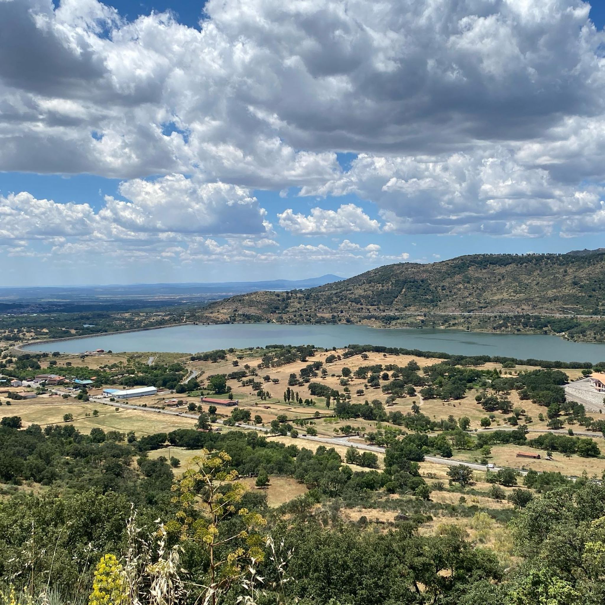
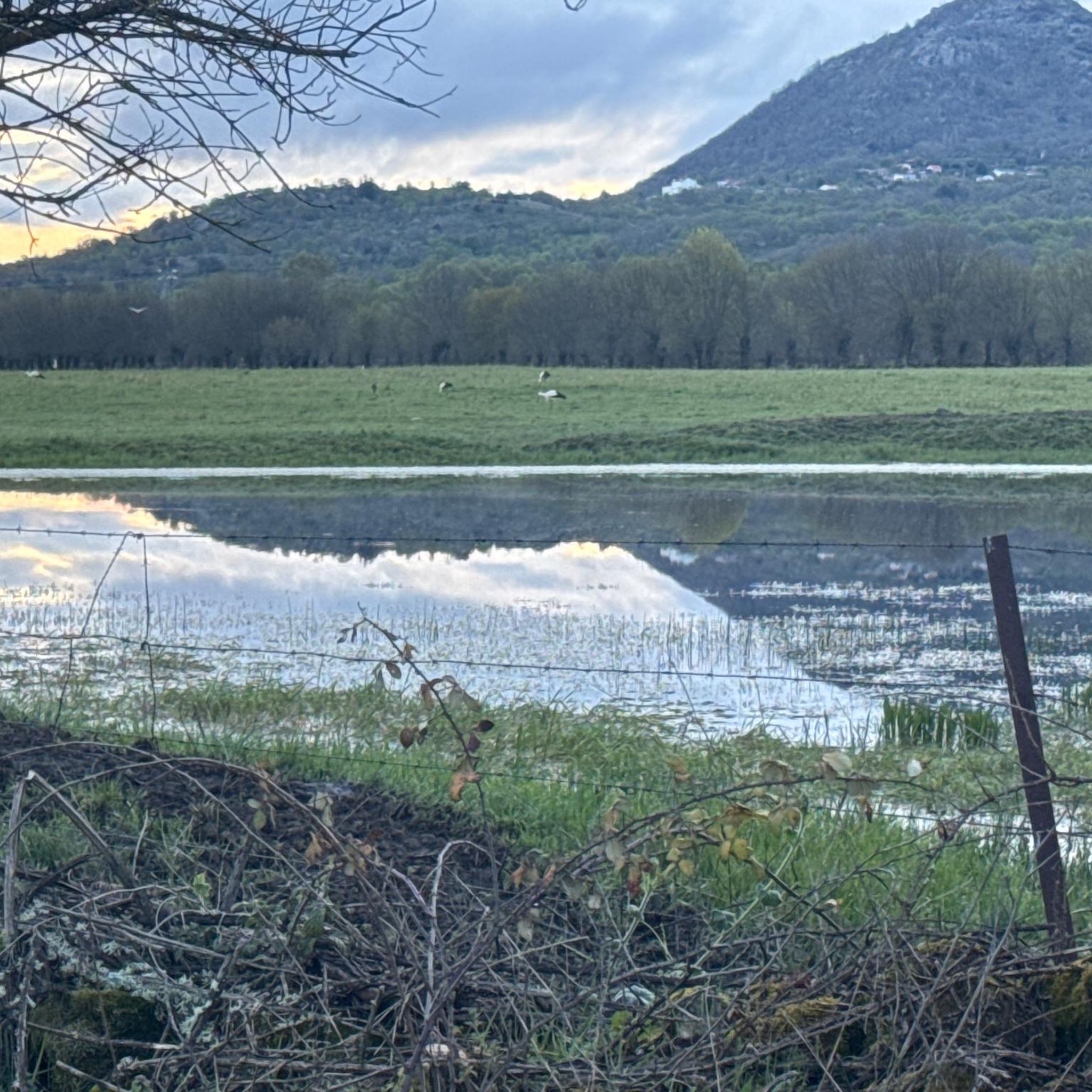
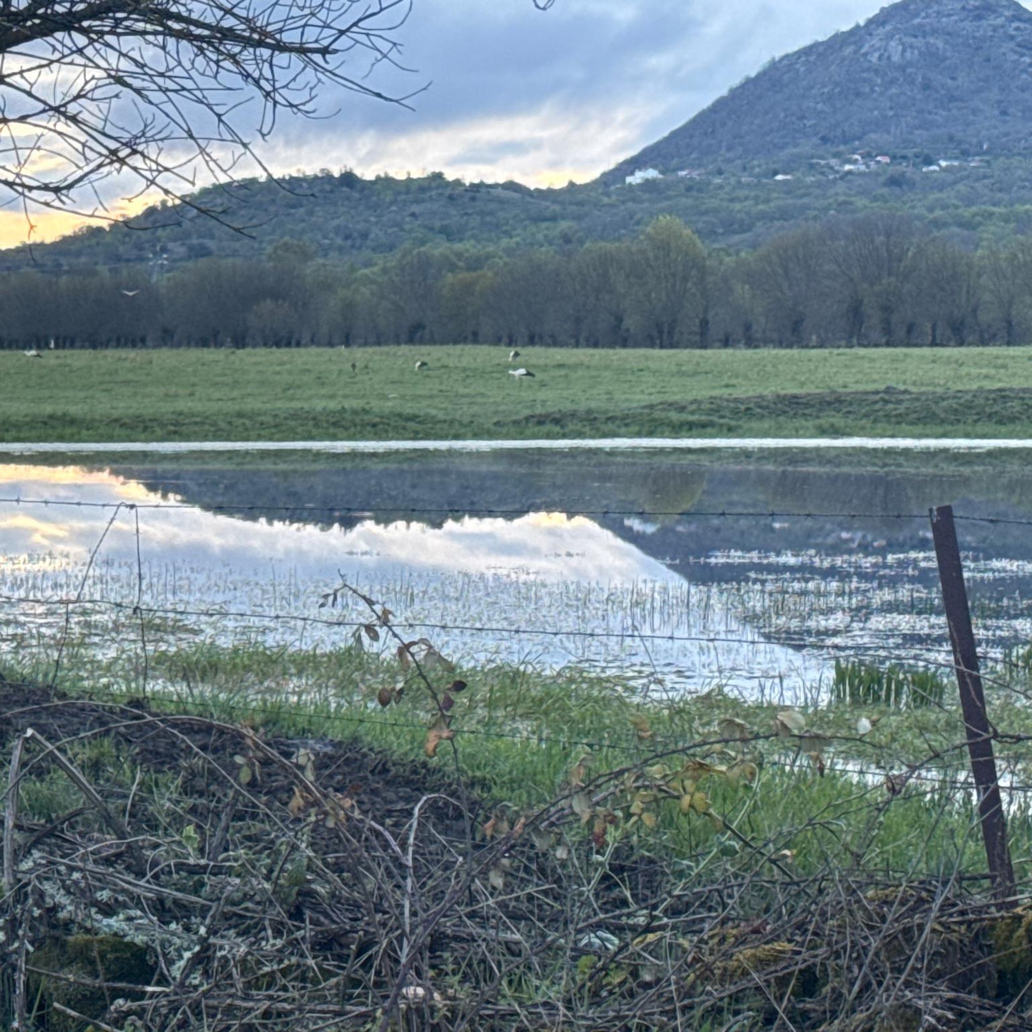
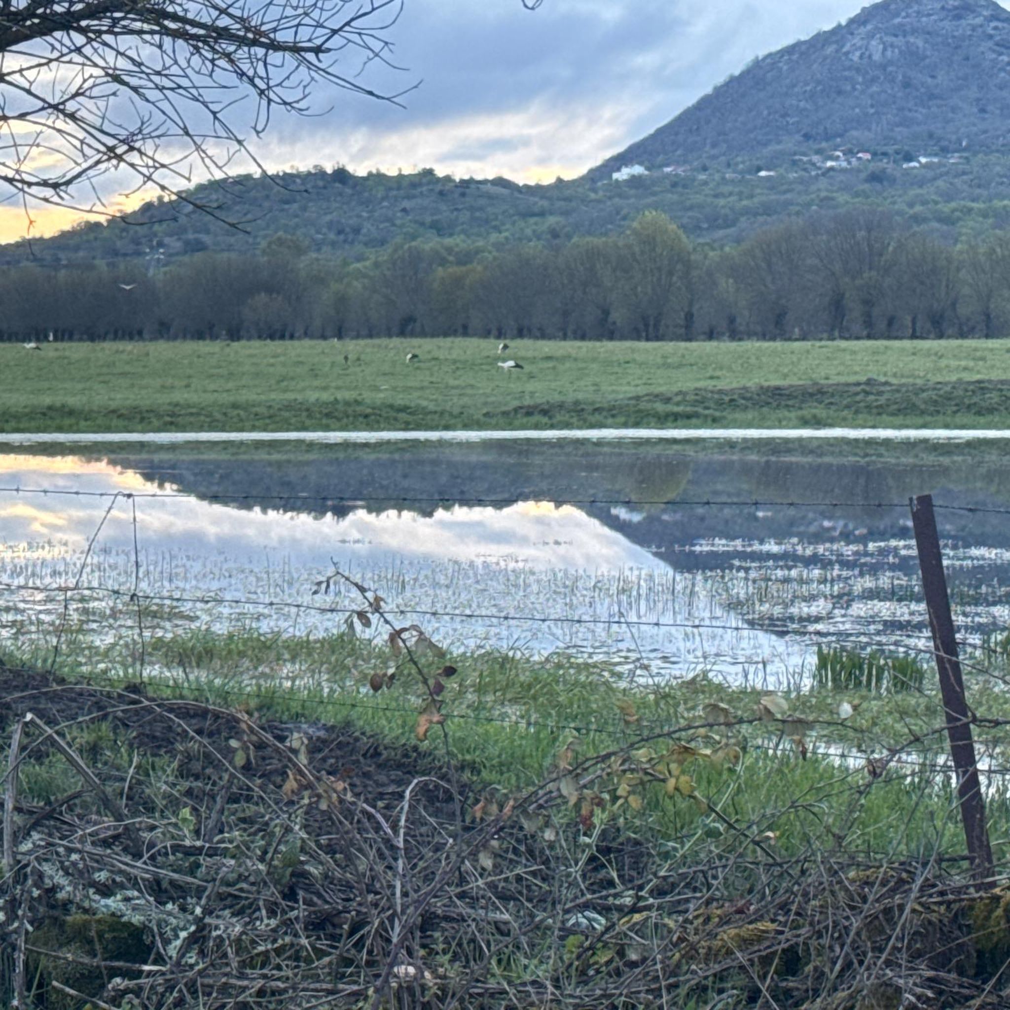
Nice spot and you can also see the stork's nest above.
13
0
The lighting works well coming from Hervas, but not the other way around. The 2nd part is really pitch black! (May 2026).
8
0
Usually cozy here, but today deserted.
8
0
The origin of this via verde lies in the transport of silver. the Silver Route (Vía de la Plata) runs through. However, pilgrims do not walk through the village itself, which is characterized by its typical local architecture; instead, the pilgrim route stays to the left of the village
8
0

Flat and perfect gravel neearly all the way from Plasencia to Bejar
0
0

The Silver Route (Vía Verde de la Plata) in the Port of Béjar is part of the old Astorga–Plasencia railway line, now a nature trail for hiking and cycling. Don't miss the Little Station: a bar/restaurant in the old station, with a terrace and railway atmosphere (open during tourist season).
4
0
Frequently Asked Questions
What is the typical difficulty level of gravel biking routes in Vallejera De Riofrío?
Gravel biking in Vallejera De Riofrío is characterized by its mountainous terrain and significant elevation changes. Most routes, including those highlighted in this guide, are rated as difficult, featuring challenging ascents and descents. This makes the area particularly appealing for experienced gravel bikers seeking a robust workout and rewarding vistas.
What kind of natural features and landscapes can I expect to see while gravel biking here?
The region offers diverse and scenic landscapes. You'll ride through predominant deciduous forests, including oaks, pines, ash, and a high density of chestnut trees. The routes often provide panoramic views of the Sierra de Béjar, with the municipality being the second-highest village in the province. You might also encounter high-altitude passes and rugged terrain, especially given its proximity to the La Covatilla ski resort.
Are there any historical or notable landmarks along the gravel bike trails?
Yes, several routes incorporate historical elements. For instance, the View of Hervás – Vía Verde de la Plata loop from Béjar utilizes sections of the historic Vía Verde de la Plata, an old railway line converted into a nature trail. Additionally, you can explore natural monuments and mountain passes in the wider area, such as the Peña de la Cruz and Balanced Boulder or the Puente Nueva over the Río Cuerpo de Hombre.
When is the best time of year to go gravel biking in Vallejera De Riofrío?
The high-altitude terrain around Vallejera De Riofrío is ideal for gravel biking outside of winter. Spring, summer, and autumn generally offer the best conditions, with pleasant temperatures and clear trails. During winter, the proximity to La Covatilla ski resort means some higher elevation areas may be covered in snow, making them less suitable for gravel cycling.
Are there any circular gravel bike routes available?
Yes, many of the gravel routes in the area are designed as loops. Examples include the challenging View of Hervás – Casas del Monte Rest Area loop from Béjar, which offers extensive views, and the Béjar Pass – View of Hervás loop from Cantagallo, leading through high-altitude passes.
What do other gravel bikers say about the trails in Vallejera De Riofrío?
The gravel biking routes in Vallejera De Riofrío are highly rated by the komoot community, with an average score of 5.0 stars. Riders often praise the challenging ascents, the rewarding panoramic views, and the diverse natural environments, from dense forests to rugged mountain passes.
Are there any easier or family-friendly gravel biking options?
Given the mountainous landscape and significant elevation changes, most gravel routes in Vallejera De Riofrío are rated as difficult. There are no explicitly easy or family-friendly routes listed in this guide. The terrain is generally more suited for experienced riders looking for a challenge.
Can I bring my dog on the gravel bike trails?
While many natural areas in Spain are dog-friendly, the challenging nature of these gravel routes, with significant distances and elevation, might be strenuous for some dogs. It's always best to ensure your dog is fit for long rides and to check local regulations for specific trails regarding pets.
What are some of the highest points or passes I can reach on a gravel bike?
The region is known for its high-altitude terrain. Within the municipal boundaries of Vallejera de Riofrío lies Cabeza Gorda, the highest point at 1,523 meters. Routes like the Béjar Pass – View of Hervás loop from Cantagallo take you through high-altitude passes, offering expansive views. You can also explore highlights like Puerto del Tremedal or Puerto de Vallejera.
How long do the gravel bike routes typically take to complete?
The duration varies significantly depending on the route's length and elevation gain. For example, the extensive View of Hervás – Casas del Monte Rest Area loop from Béjar, at nearly 119 km, typically takes around 8 hours and 36 minutes. Shorter, though still challenging, routes like the Tormes Bridge – Puerto del Tremedal loop from Medinilla might take about 4 hours.
Are there any routes that offer particularly good viewpoints?
Absolutely. The mountainous landscape ensures many routes provide excellent viewpoints. The View of Hervás – Casas del Monte Rest Area loop from Béjar is noted for its extensive views across the mountainous landscape. Similarly, the View of Hervás – Honduras Pass loop from Béjar offers panoramic vistas, especially from its higher sections.
Most popular routes around Vallejera De Riofrío
Most popular attractions around Vallejera De Riofrío

Get inspired with the komoot mobile app


Explore more
Browse the best Gravel rides in other regions.
