Top 3 Natural Monuments around Stockport
Stockport’s landscape is a beautiful place to explore — something that you can best experience by visiting one of our 3
beautiful natural monuments around Stockport. To help you find the one for, you can see all the details you need to explore the best natural monuments, and better plan your next outdoor adventure!
Last updated: October 31, 2026
Etherow Country Park Lake and Weir
Highlight • Natural Monument
Today, the park is a local nature reserve and Site of Special Scientific Interest. A range of habitats can be found on the 32-acre (12.8 ha) site. Open water, tall fenn, reed swamp, carr and mixed deciduous woodland all provide for the wildlife that make the reserve so vibrant.
Tip by

St Chad's Well
Highlight • Natural Monument
it is first named in 1872 on the first Ordnance Survey. A stone found in a garden nearby at Romiley is mentioned on the information display board at the well is linked to the ancient British head cult, it shows three heads and its tentatively linked to the well…
The well house was probably built around 18th -19th century and is built of sandstone blocks having a doorway with a flat lintel where there is evidence of both inner and outer door. It was probably roofed protecting it. Three steps step down into a rectangular well chamber, with a chamber measuring 1.8m x 1.6m. The wells seem to have been repaired or renovated several times in the past.
Every year since 1998 at the end of July a well dressing of the Derbyshire style has been produced.
Tip by

Sign up now to discover places like this
Get recommendations on the best single tracks, peaks, & plenty of other exciting outdoor places.
Mellor Moor (Cobden Edge) Trig Point
Highlight • Natural Monument
Tip by

Weir Waterfall, Etherow Country Park
Highlight • River
Tip by

Waterfall in Abney Hall Park
Highlight • Viewpoint
Tip by

Start today with a free account
Your next adventure awaits.
Popular around Stockport
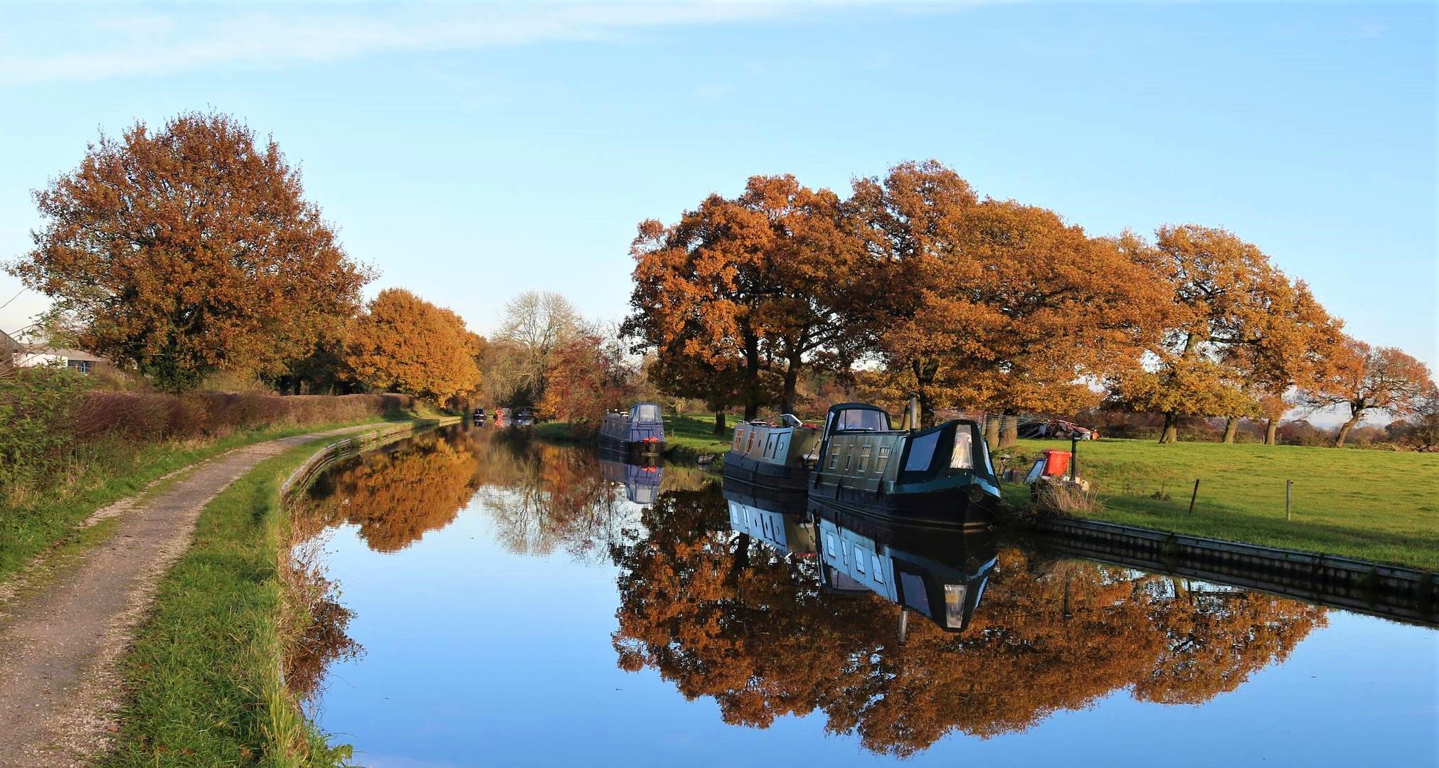
Cheshire Ring — A waterside hike along six historic canals
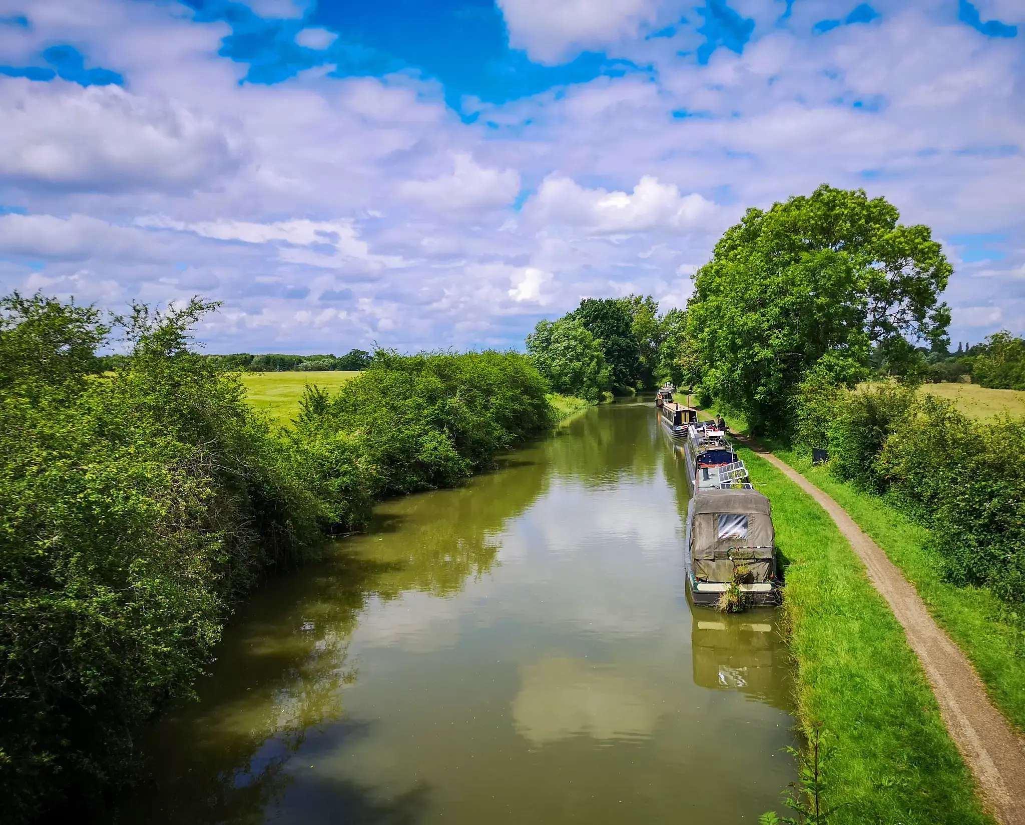
London to Carlisle – National Cycle Network Route 6
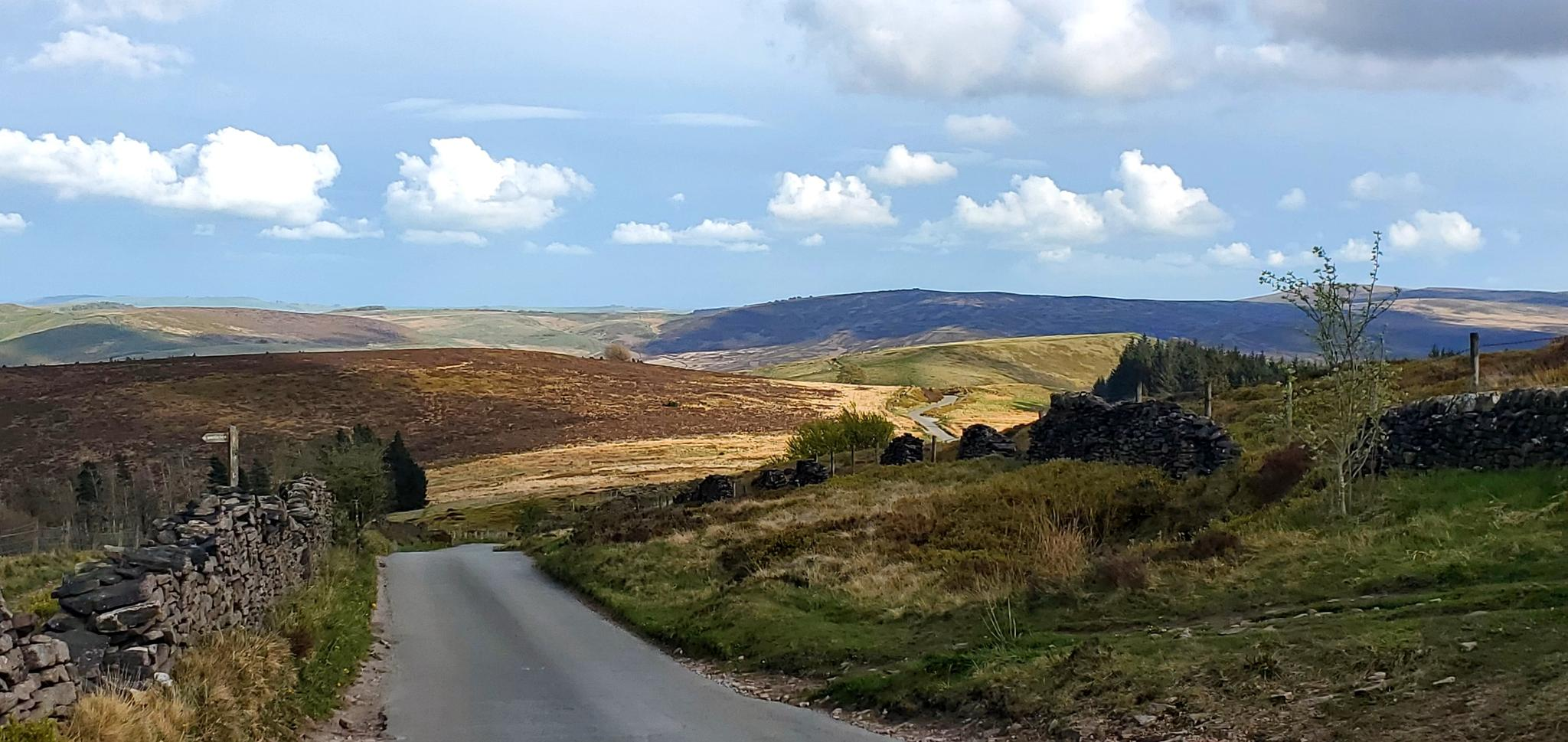
Ultimate White Peak cycling – explore the Peak District by train and by bike
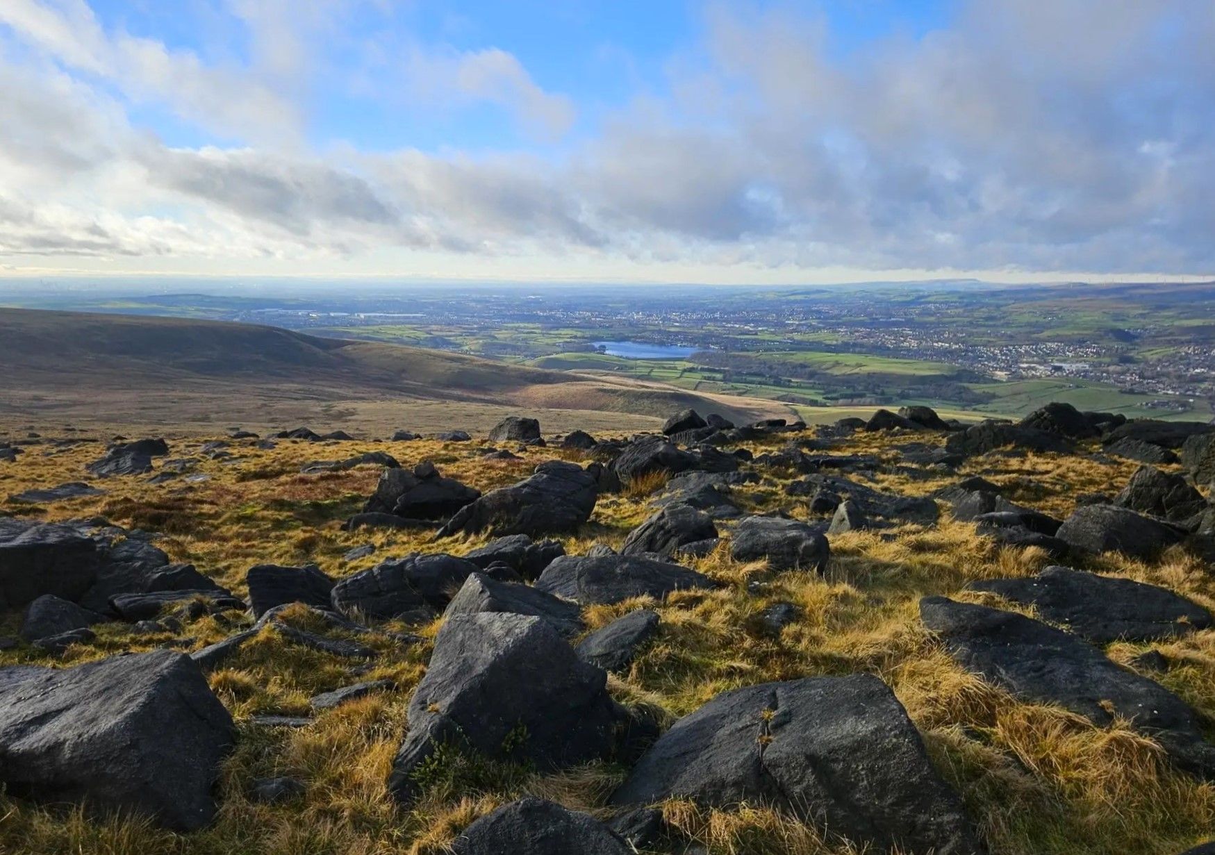
The nature and culture of Greater Manchester – GM Ringway

Hiking around Stockport

Road Cycling Routes around Stockport

Running Trails around Stockport

Cycling around Stockport

MTB Trails around Stockport

Gravel biking around Stockport
Other adventures around Stockport


Tips from the Community

Ancient well, dating back beyond medieval times, close to the historic Chadkirk Chapel. In the spring and summer it is dressed with natural decorations, in a very ancient rite celebrating water
0
0

T:UK - Cobden Edge https://share.google/d48tk9Gf8LjsVUFDC
0
0

Mellor Moor is close to Mellor Cross, offering a chance to see another historical marker. Combining these two sites in one walk makes for a more fulfilling outing. Also, in the area is the remains of Mellor Mill, which has ongoing archaeological digs. So you can combine a walk with a bit of history. Mellor Moor offers excellent views of the surrounding countryside, including Kinder Scout.
0
0

Abney Hall was a grand house built in 1847 with extensive gardens and parkland. The area is part of the floodplain, so the ground is wet and this allows a wide variety of rare plants to grow here. Amongst the plants and landscaped features is this little waterfall.
0
0
A picturesque well near the chapel – its walls built of rubble stone, covered with moss and ferns – bears the name of St Chad’s Well, or the Holy Well, and is traditionally said to have been the scene of miraculous cures. it is first named in 1872 on the first Ordnance Survey. A stone found in a garden nearby at Romiley is mentioned on the information display board at the well is linked to the ancient British head cult, it shows three heads and its tentatively linked to the well… The well house was probably built around 18th -19th century and is built of sandstone blocks having a doorway with a flat lintel where there is evidence of both inner and outer door. It was probably roofed protecting it. Three steps step down into a rectangular well chamber, with a chamber measuring 1.8m x 1.6m. The wells seem to have been repaired or renovated several times in the past. Every year since 1998 at the end of July a well dressing of the Derbyshire style has been produced.
2
0
The Park itself first of all started off as part of the “Andrews” estate originating in the 1820’s. At the time it incorporated a mine, a cotton mill and the lake. Later on in 1968 it became one of England’s first country parks, and now attracts over a quarter million visitors a year. They come to enjoy the natural beauty of ancient woodland along the river valley; in the foothills of the Peak District National Park. Mr George Andrew originally built the mill and made the man made lake (Canal). He also required a large workforce for the operation of the mill; so George also built a lot of the houses, along with the Church and School. Also a lot of the street names are named after members of the Andrew’s family. Etherow Country Park has steadily grown over the years, and now covers an area of around 200 acres. It lies at the heart of the Etherow-Goyt Valley, this is also the start of The Goyt Way, which is a 10 mile walk to Whaley Bridge. The River Etherow flows through the park which is the source for the lakes and was originally used as a reservoir to power the water wheel; which in turn provided motorized power for the cotton mill. Later on, they used the canal to transport coal for heating and keeping the cotton dry, via a horse drawn canal barge from further downstream. One of the water wheels (Big Lily) that powered the mill would use 50 million gallons of water per day; which would come down the canal and pass through what is now the car park to drive “Big Lilly”
0
0
The Park itself first of all started off as part of the “Andrews” estate originating in the 1820’s. At the time it incorporated a mine, a cotton mill and the lake. Later on in 1968 it became one of England’s first country parks, and now attracts over a quarter million visitors a year. They come to enjoy the natural beauty of ancient woodland along the river valley; in the foothills of the Peak District National Park. Mr George Andrew originally built the mill and made the man made lake (Canal). He also required a large workforce for the operation of the mill; so George also built a lot of the houses, along with the Church and School. Also a lot of the street names are named after members of the Andrew’s family. Etherow Country Park has steadily grown over the years, and now covers an area of around 200 acres. It lies at the heart of the Etherow-Goyt Valley, this is also the start of The Goyt Way, which is a 10 mile walk to Whaley Bridge. The River Etherow flows through the park which is the source for the lakes and was originally used as a reservoir to power the water wheel; which in turn provided motorized power for the cotton mill. Later on, they used the canal to transport coal for heating and keeping the cotton dry, via a horse drawn canal barge from further downstream.
0
0
Most popular routes around Stockport
Most popular attractions around Stockport

Get inspired with the komoot mobile app


Didn’t find what you were looking for?
Find even more amazing natural monuments around Stockport by checking out the top Highlights region by region:
Explore more
Extend your search for the best caves by checking out these guides of the top ones around Stockport:
