The best walks and hikes around Lengede
4.4
(250)
1,059
hikers
89
hikes
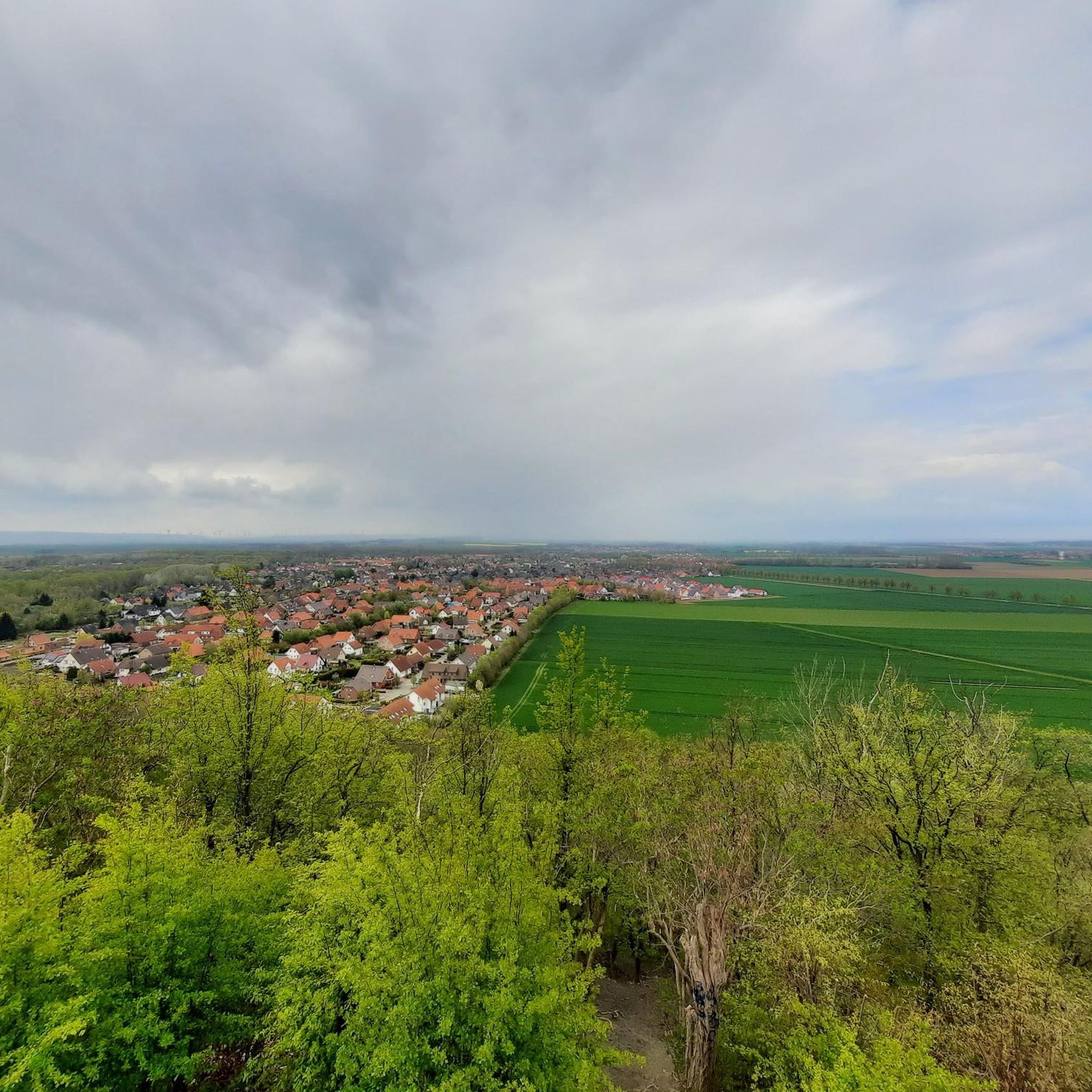
Hiking around Lengede offers accessible trails through a landscape characterized by a blend of natural beauty and historical significance. The region features the tranquil Lengeder Ponds and the unique Seilbahnberg Mining Park, providing diverse settings for outdoor activities. Paths are generally easy to moderate, making them suitable for various fitness levels. The area provides opportunities to experience nature firsthand through walks and hikes around its water bodies and former industrial sites.
Best hiking trails around Lengede
- The most popular hiking…
Last updated: November 1, 2026
4.1
(58)
150
hikers
Moderate hike. Good fitness required. Easily walkable paths.
4.2
(11)
42
hikers
Easy hike. Easily walkable paths.

4.7
(16)
41
hikers
Moderate hike. Good fitness required. Easily walkable paths.
5.0
(6)
35
hikers
Moderate hike. Good fitness required. Easily walkable paths.
5.0
(14)
31
hikers
14.5km
03:42
50m
50m
Moderate hike. Good fitness required. Easily walkable paths.
Get access to more routes and recommendations from other explorers.
Already have an account?
Our route recommendations are based on thousands of hikes, rides, and runs completed by other people on komoot.
Start today with a free account
Your next adventure awaits.
Other adventures around Lengede

Tips from the Community

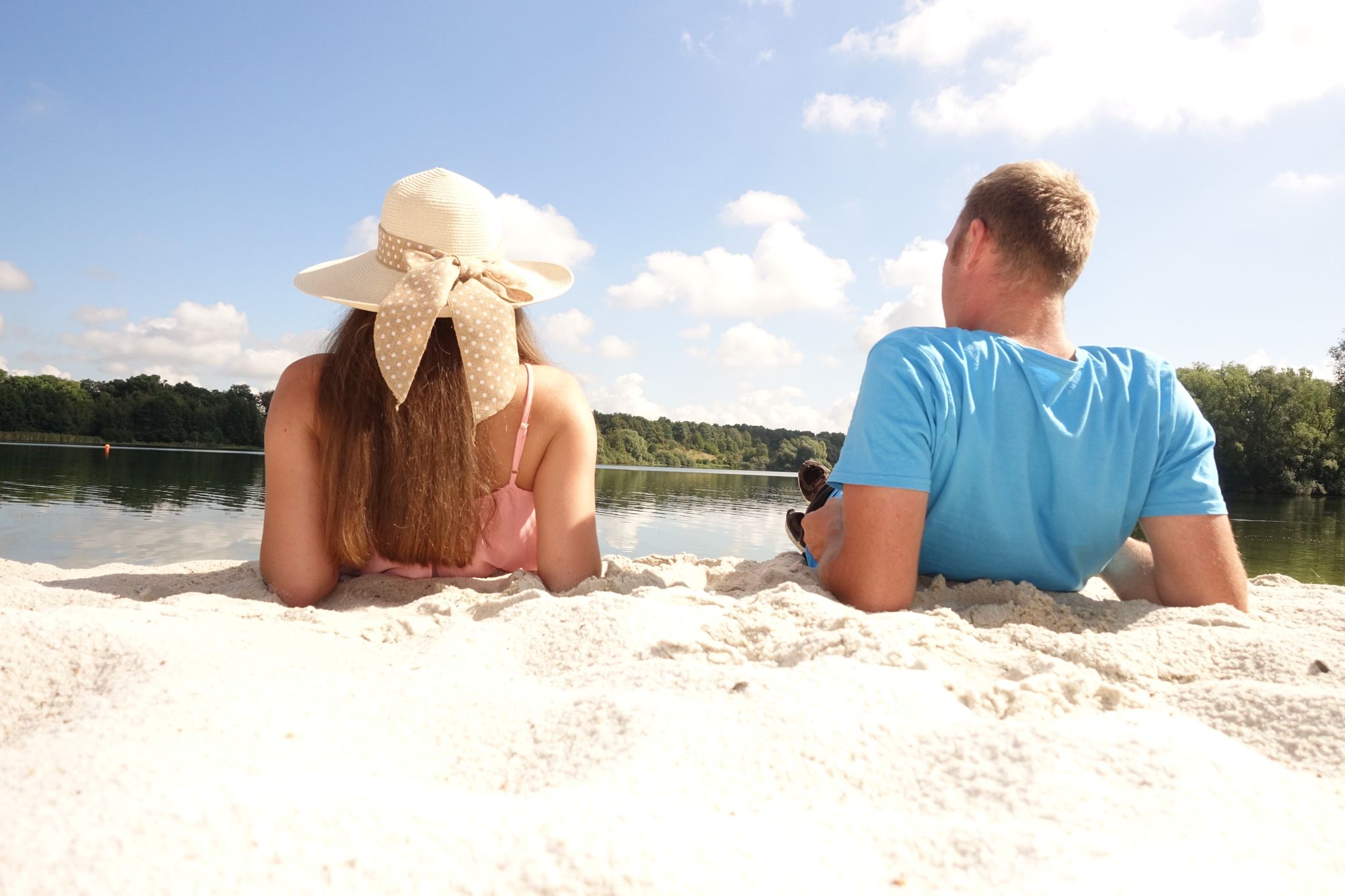
The Salzgittersee bridge connects the west bank of the lake directly with the tree-lined island. Construction: It is an impressive cable-stayed bridge (often referred to as a suspension bridge) with striking pylons. Function: It serves as access to the approximately 25-hectare island in the lake, which is used as a local recreation area. View: From the bridge, you have a panoramic view of the entire body of water.
0
0
The Salzgittersee is an artificially created lake in the city area of Salzgitter-Lebenstedt, which primarily serves as a local recreation and water sports area. Construction: The lake was created between 1956 and 1960 by excavating gravel and sand as part of urban development in Salzgitter. In the late 1970s, it was expanded and its island area was enlarged. Today, the water surface covers approximately 75 hectares, with a maximum depth of around 17 meters and a 25-hectare island. Usage: Water sports: Sailing, surfing, stand-up paddling (SUP), canoeing, diving, and a water ski facility. Swimming & Beach: Over two kilometers of sandy beach (on the west and east banks) with DLRG supervision and shallow water zones. Leisure & Sports: A continuous, approx. 15 km long circular path for cycling, inline skating, and walking, as well as playgrounds, barbecue areas, and a disc golf facility. Nature: The inland island, accessible via a bridge, offers park-like paths and green spaces for recreation.
0
0

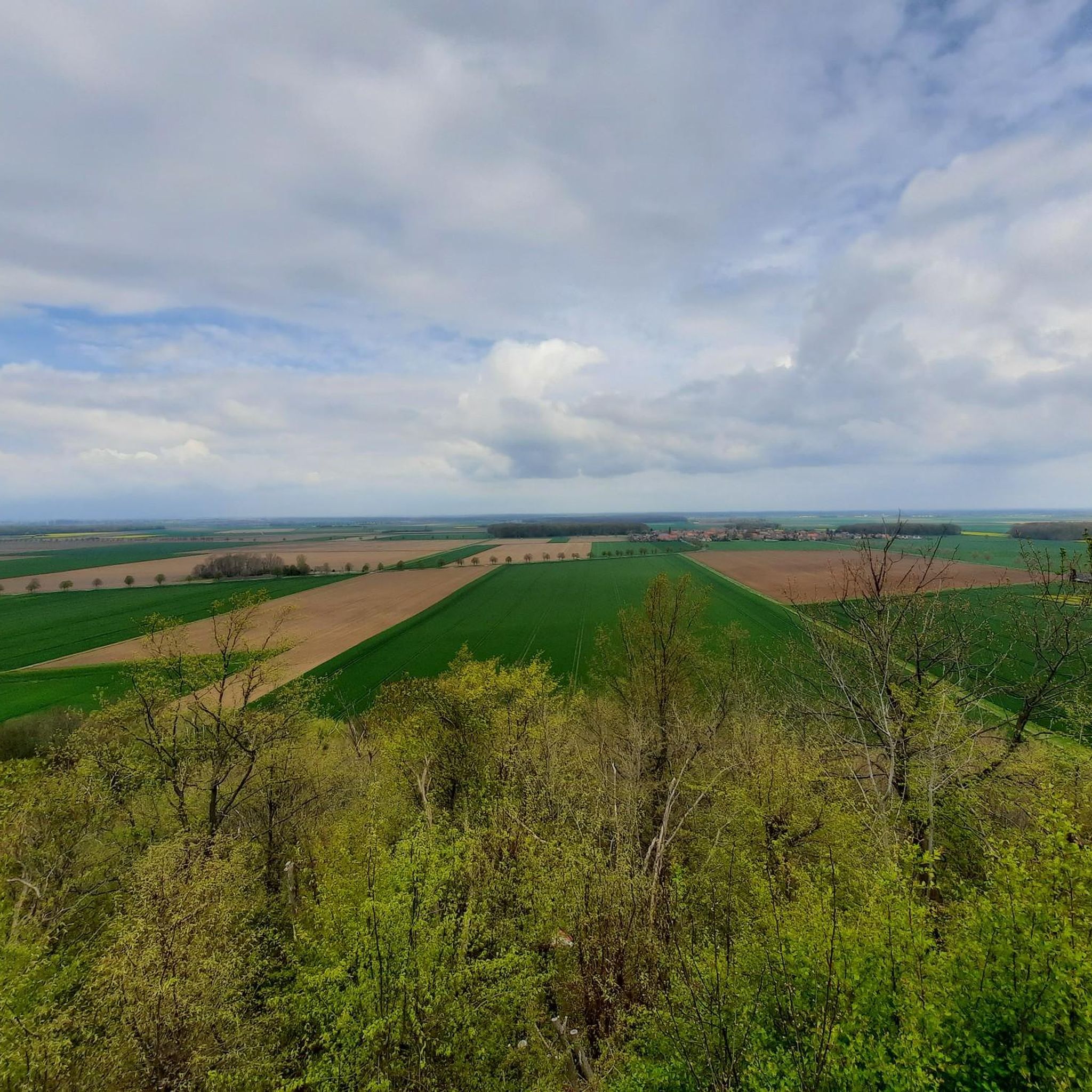
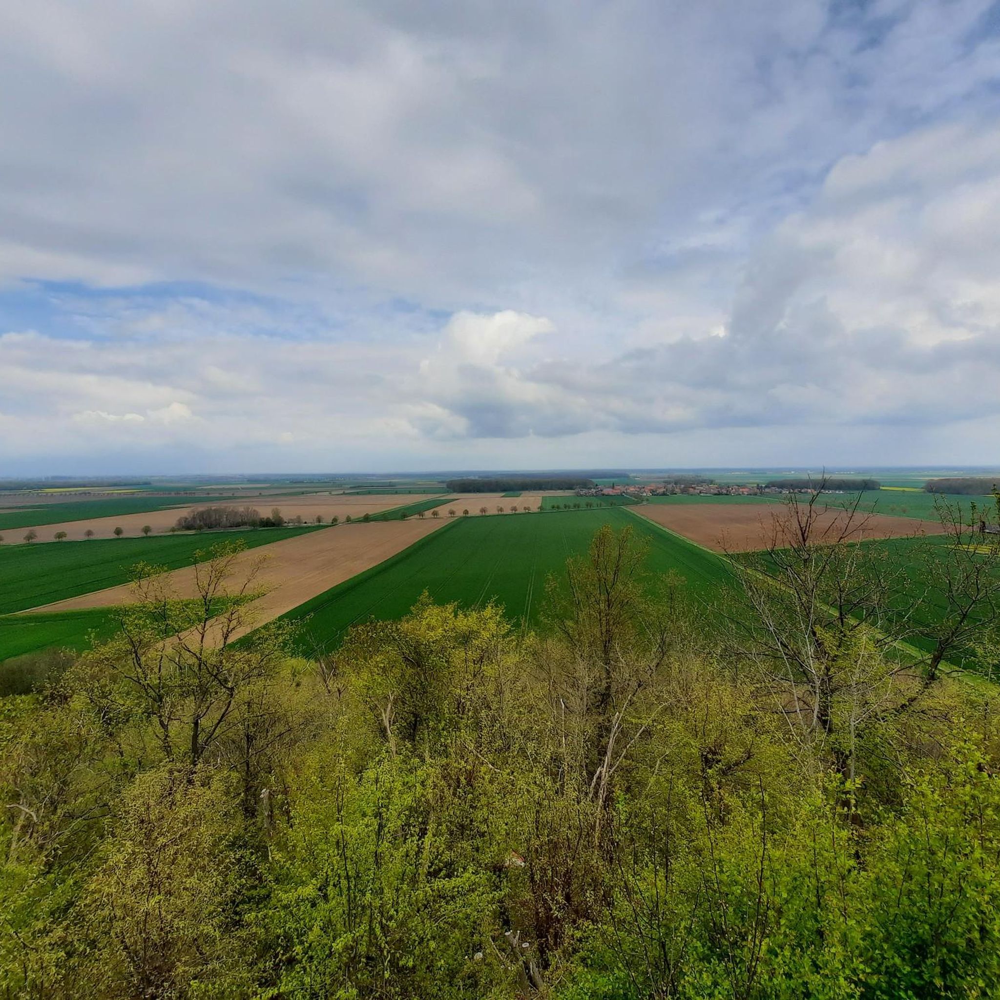
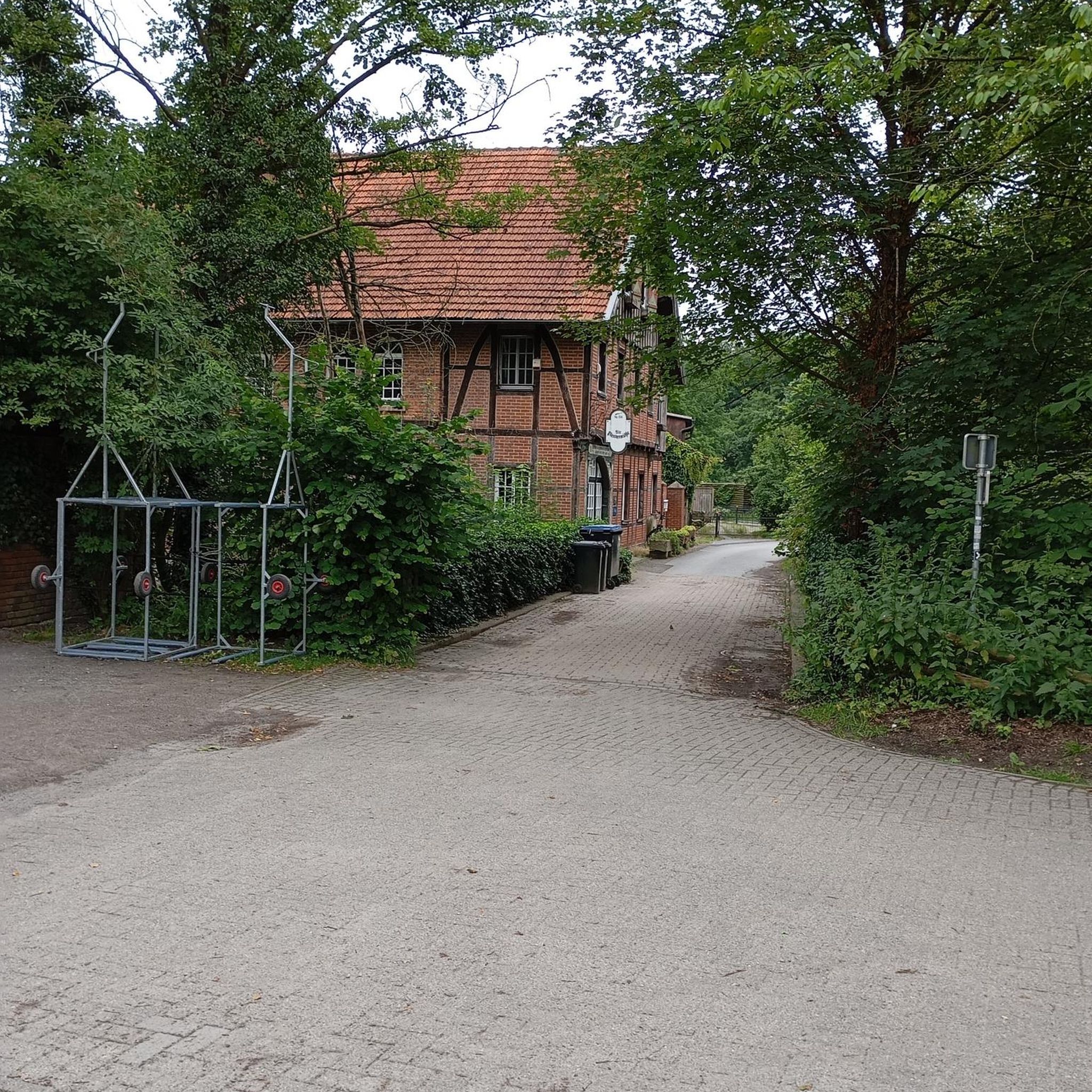
Not much of the pond itself can be seen due to trees and bushes.
0
0

with the chain on the left you can ride up there
1
0

A very beautiful place to simply gaze at the water and let your thoughts wander. The pond is easily accessible by bike, and you can even walk around it if it's not overgrown. However, you shouldn't swim in it, as it's very muddy and a sanctuary for many bird species.
1
0


Frequently Asked Questions
What types of hiking trails can I find in Lengede?
Lengede offers a diverse range of hiking trails, primarily characterized by accessible paths around the tranquil Lengeder Ponds and through the unique Seilbahnberg Mining Park. You'll find over 90 routes, with the majority being easy (over 70 trails) and some moderate options available for those seeking a bit more challenge. The landscape blends natural beauty with historical significance, providing varied scenery for your walks.
Are there any easy or family-friendly hiking routes in Lengede?
Yes, Lengede is well-suited for easy and family-friendly hikes. Most of the trails are considered easy, making them ideal for all ages and fitness levels. For example, the Seilbahnberg Mining Park – Community Orchard Längede loop from Lengede is an easy 3.2 km walk. The paths around the Lengeder Ponds are generally flat and offer a pleasant experience for families.
What are the main natural attractions or landmarks to see while hiking in Lengede?
The primary natural attractions in Lengede are the Lengeder Ponds (Lengeder Teiche) and the Seilbahnberg Mining Park. Many routes, such as the Seilbahnberg Mining Park – Lengeder Ponds loop from Lengede, combine these features, offering tranquil lakeside paths and insights into the region's industrial heritage. The Teich 11A area within the Mining Park is also a notable feature.
Are there any circular hiking routes in Lengede?
Yes, many of the hiking routes in Lengede are circular, allowing you to start and end at the same point. Examples include the Fuhse Bridge at Abuteich – Settling Pond 5, Lengede Ponds loop from Lengede, which takes you through the serene Lengeder Ponds, and the Settling Pond 5, Lengede Ponds – Fuhse Bridge at Abuteich loop from Woltwiesche, offering a longer exploration of the pond area.
What do other hikers say about the trails in Lengede?
The hiking trails in Lengede are highly regarded by the komoot community, holding an average rating of 4.4 out of 5 stars from over 200 reviews. Hikers often praise the accessible paths, the natural beauty of the Lengeder Ponds, and the unique historical features of the Seilbahnberg Mining Park, highlighting the area's suitability for a relaxing outdoor experience.
Can I hike with my dog in Lengede?
Yes, hiking with dogs is generally possible in Lengede. The region's accessible trails around the Lengeder Ponds and through the Seilbahnberg Mining Park provide pleasant environments for walks with your canine companion. However, be aware that during summer months, the Lengede Natural Pond (a former sand shaft) may experience blue-green algae, which can be harmful to dogs. Always keep an eye on local signage and conditions.
Are there any viewpoints or scenic spots along the hiking trails?
While Lengede does not feature rugged mountain peaks, the trails offer scenic views, particularly around the Lengeder Ponds. These water bodies provide tranquil lakeside paths and opportunities to observe local nature. The Seilbahnberg Mining Park also offers unique perspectives, blending natural elements with the remnants of industrial history.
What is the best time of year to go hiking in Lengede?
Lengede offers pleasant hiking conditions throughout much of the year. Spring and autumn provide comfortable temperatures and beautiful scenery. While summer is also suitable, be mindful of potential blue-green algae in some ponds, especially if hiking with dogs. Winter hiking is possible, but trails may be muddy or icy depending on conditions.
Are there any castles or historical sites near Lengede that I can visit?
Yes, there are several historical sites and castles in the broader region around Lengede. You can explore places like Salder Castle, Lichtenberg Castle (Burg Lichtenberg), and Oelber Castle. These offer a glimpse into the area's rich history and can be combined with a hiking trip for a fuller experience.
Are there any lakes or water activities near the hiking trails?
The Lengeder Ponds are central to many hiking routes, offering tranquil lakeside paths. For more extensive water activities, the nearby Salzgitter Lake area provides options such as the Western shore of Salzgitter Lake, a Pirate Playground, and even a Water Ski Cable Park. These are great for extending your outdoor adventure beyond just hiking.
Is public transport available to reach the hiking trails in Lengede?
Lengede is generally accessible, but specific public transport options to trailheads may vary. It's advisable to check local bus schedules or regional train connections to Lengede. For detailed planning, local transport websites will provide the most current information on routes and stops that can get you close to the starting points of the trails.
Are permits required for hiking in Lengede?
No, permits are generally not required for hiking on the public trails around Lengede. The paths are accessible for everyone to enjoy. However, always respect local regulations, especially concerning nature protection areas, and be mindful of private property.
Most popular routes around Lengede
Most popular attractions around Lengede

Get inspired with the komoot mobile app


Explore more
Browse the best Hikes in other regions.
