The best gravel rides around Beauvoir-De-Marc
15
riders
3
rides
Gravel biking around Beauvoir-De-Marc benefits from its location within the Isère department, offering varied terrain suitable for this activity. The region features rolling hills, river valleys, and expansive forests, providing a mix of paved roads, dirt tracks, and established cycle paths. Cyclists can expect to explore the French countryside on routes that often traverse rural paths and agricultural landscapes. This diverse topography, combined with gentle elevation changes in many areas, makes the region accessible for different skill levels.
Best gravel…
Last updated: May 18, 2026
4
riders
44.6km
02:49
470m
470m
Hard gravel ride. Very good fitness required. Mostly paved surfaces. Suitable for all skill levels.
2
riders
32.0km
02:16
590m
590m
Hard gravel ride. Very good fitness required. Mostly paved surfaces. Suitable for all skill levels.

Sign up for free
3
riders
58.6km
04:01
990m
990m
Hard gravel ride. Very good fitness required. You may need to push your bike for some segments of this route.
3
riders
40.1km
02:58
530m
530m
Hard gravel ride. Very good fitness required. Mostly paved surfaces. Suitable for all skill levels.
3
riders
56.4km
03:46
730m
730m
Hard gravel ride. Very good fitness required. Mostly paved surfaces. Suitable for all skill levels.
Our route recommendations are based on thousands of hikes, rides, and runs completed by other people on komoot.
Start today with a free account
Your next adventure awaits.
Login or Signup



Tips from the Community

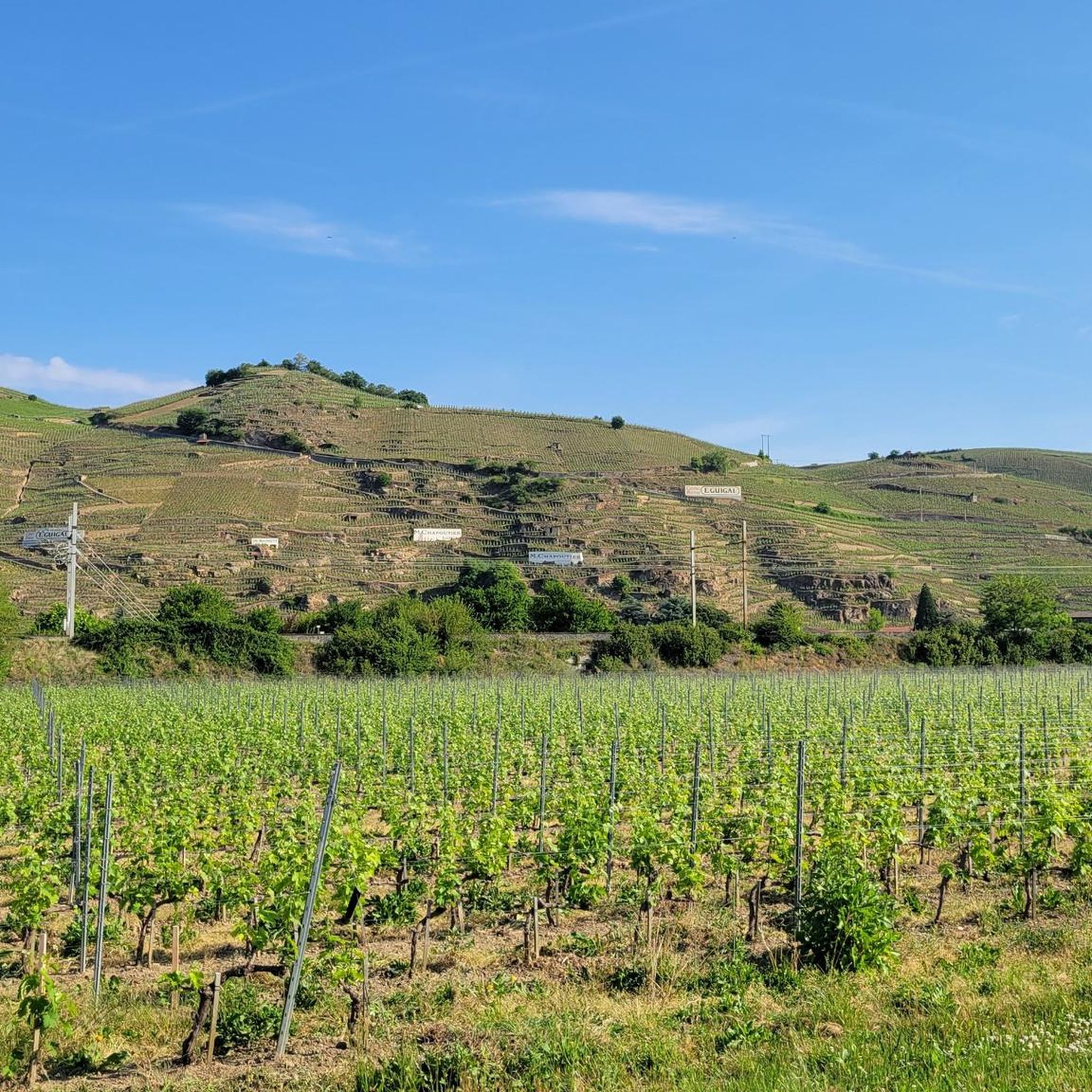
Several caves set up at the bottom of a very steep slope
0
0

The small sacred monument that the biker encounters here is designed somewhat differently than many other wayside crosses. The most common material is wood or stone, but here, metal has been used. The longitudinal beam is unusually long, so that it rises above the fields, visible from afar. The two ends of the crossbeam and the upper end of the longitudinal beam are adorned with an additional decorative element. But regardless of material and design, all crosses have one thing in common: For the faithful observer, they are a sign of the death of Jesus Christ, but at the same time, they always point beyond that to the resurrection.
0
0
maybe even a hundred years old
0
0

I really like this pass, I have done it several times, it is not slow but effective, especially on a certain side where there is a firecracker xD
0
0

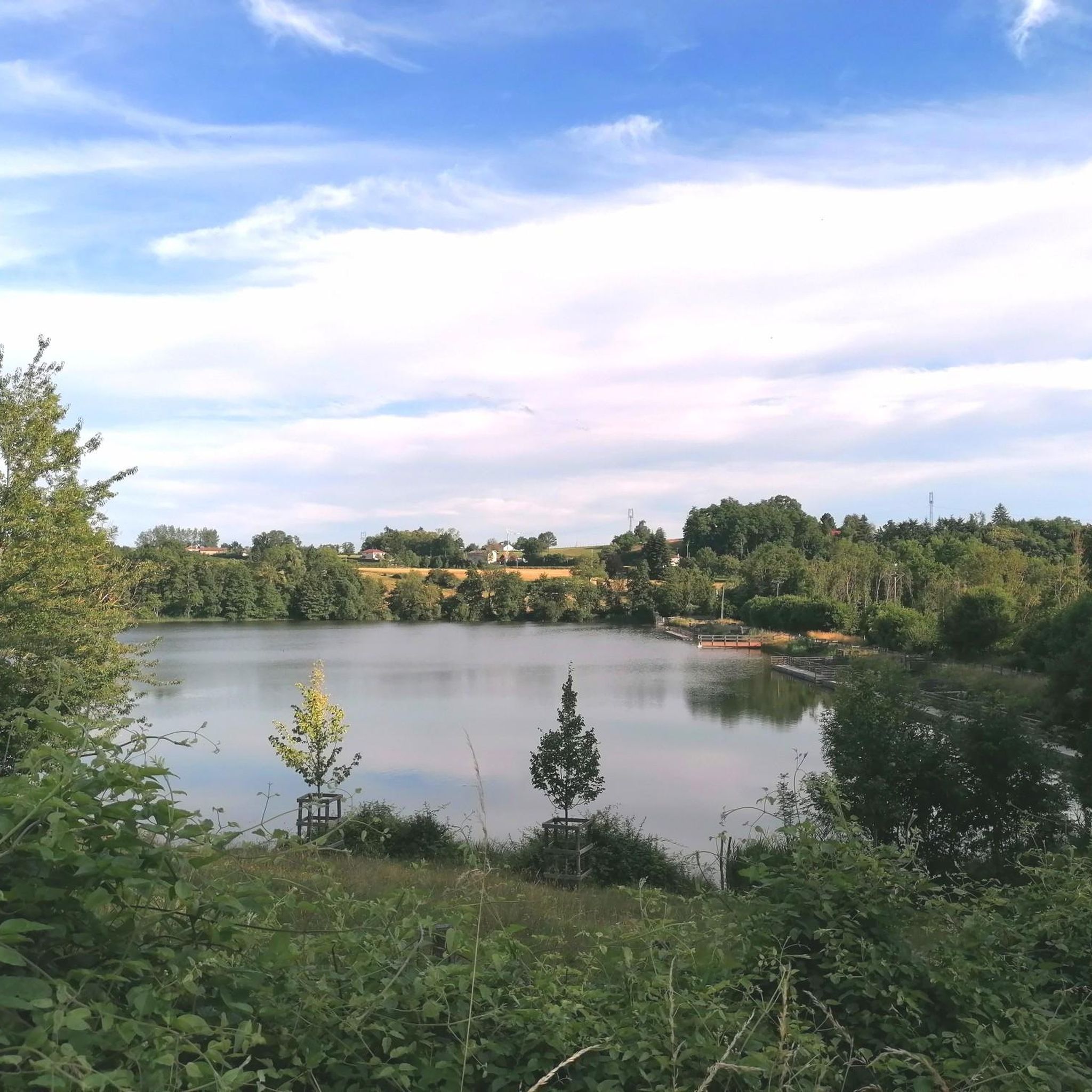
Located between Meyrieux-les-étangs and Saint-Jean de Bournay in the northwest of the Isère department, the Etang de Montjoux is located at an altitude of 400m and covers an area of 14 hectares. Source: Isère Tourism
1
0

Padded mist on this February afternoon in the Cold Lands.
0
0
Road with good surface, little traffic.
0
0
View towards Artas from the Charantonnay road.
1
0
Frequently Asked Questions
What kind of terrain can I expect on gravel bike trails around Beauvoir-De-Marc?
The Isère department, where Beauvoir-De-Marc is located, offers varied terrain ideal for gravel biking. You'll find a mix of paved roads, dirt tracks, and established cycle paths, often traversing former railway lines, rural paths, and agricultural landscapes. Expect green, undulating scenery with gentle elevation changes in many areas, providing a diverse experience away from main roads.
Are there any challenging gravel routes for experienced riders?
Yes, the routes listed for Beauvoir-De-Marc are generally rated as difficult, offering a good challenge for experienced gravel bikers. For instance, the View of Lyon – Vers le col de Bel Air loop from Diémoz covers over 58 km with nearly 1000 meters of elevation gain, while the Bois Marquis Garden – Pond with Water Lilies loop from Chamboud D538 features significant climbs over 32 km.
What are the typical distances and elevation gains for gravel rides in this area?
Gravel rides around Beauvoir-De-Marc vary in length and elevation. You can expect routes ranging from approximately 32 km, such as the Bois Marquis Garden – Pond with Water Lilies loop with nearly 600 meters of ascent, to longer rides like the View of Lyon – Vers le col de Bel Air loop, which stretches almost 59 km with close to 1000 meters of climbing.
Are there any circular gravel bike routes available?
Yes, all the gravel routes around Beauvoir-De-Marc are designed as loops, allowing you to start and finish at the same point. Examples include the Saint Bonnet Pond – Étang de Chalignieu loop from Villefontaine and the Impressive Chestnut Tree – Viewpoint Bench loop from Charantonnay.
What historical sites can I see while gravel biking in the region?
The region offers several historical landmarks that can be explored during your rides. You might pass by impressive structures such as Bonnevaux Castle or the historic Château de Septème, providing cultural points of interest along your journey.
Are there any scenic viewpoints along the gravel routes?
Yes, the area boasts several spots with panoramic views. For instance, the View of Lyon – Vers le col de Bel Air loop from Diémoz offers vistas towards Lyon. Additionally, the Orientation table at the summit of Chèzeneuve provides expansive panoramas, including views of the Alps on clear days.
Can I find routes that pass by lakes or other water features?
Absolutely. The region features beautiful lakes and waterways. The Saint Bonnet Pond – Étang de Chalignieu loop from Villefontaine takes you past the Saint Bonnet Pond. You can also find opportunities to visit Lake Saint-Quentin-Fallavier, which is known for swimming and mountain biking.
What is the best time of year for gravel biking around Beauvoir-De-Marc?
The varied topography of the Isère department makes it suitable for gravel biking across multiple seasons. Spring and autumn generally offer pleasant temperatures and beautiful scenery with changing foliage. While specific winter conditions can vary, the region's diverse landscapes can be enjoyed outside of extreme weather.
Are there any long-distance cycling routes that connect to the Beauvoir-De-Marc area?
Yes, the Isère Valley is home to major cycle routes like "La Belle Via." This route offers scenic journeys through varied landscapes, including orchards and architectural sights, and provides opportunities for longer cycling excursions within reach of Beauvoir-De-Marc. You can find more information about this route on France Vélo Tourisme or Grenoble Tourisme.
What kind of natural landscapes will I encounter on these gravel trails?
You'll experience a rich variety of natural landscapes. The routes often traverse expansive forests and woodlands, providing shaded paths and opportunities for nature observation. You'll also ride through rolling hills and agricultural areas, characteristic of the French countryside, with the distant Alps sometimes visible on clear days.
Most popular routes around Beauvoir-De-Marc
Most popular attractions around Beauvoir-De-Marc

Get inspired with the komoot mobile app


Explore more
Browse the best Gravel rides in other regions.
