Attractions and Places To See around Area N (Beautiful Nicola Valley - South) - Top 7
Best attractions and places to see around Area N (Beautiful Nicola Valley - South) are characterized by diverse natural beauty, historical landmarks, and cultural experiences. This region, centered around Merritt, British Columbia, features extensive grasslands, rolling hills, and numerous lakes. It offers a blend of geological formations, ranching heritage, and opportunities for outdoor activities.
Best attractions and places to see around Area N (Beautiful Nicola Valley - South)
- The most popular attraction is Coquihalla Summit Recreation Area, a mountain…
Last updated: November 5, 2026
Zopkios Rest Area
Highlight • Rest Area
Tip by

Coquihalla Summit Recreation Area
Highlight • Mountain Pass
Tip by

Sign up now to discover places like this
Get recommendations on the best single tracks, peaks, & plenty of other exciting outdoor places.
Needle Peak
Highlight • Summit
On clear days, you can take in views …
Tip by

Illal Meadows
Highlight • Viewpoint
Tip by
West Lake
Highlight • Lake
Tip by

Sign up for free to discover even more attractions around Area N (Beautiful Nicola Valley - South).
Already have an account?
Start today with a free account
Your next adventure awaits.
Popular around Area N (Beautiful Nicola Valley - South)
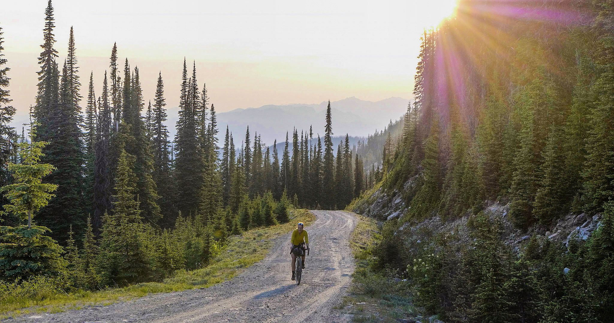
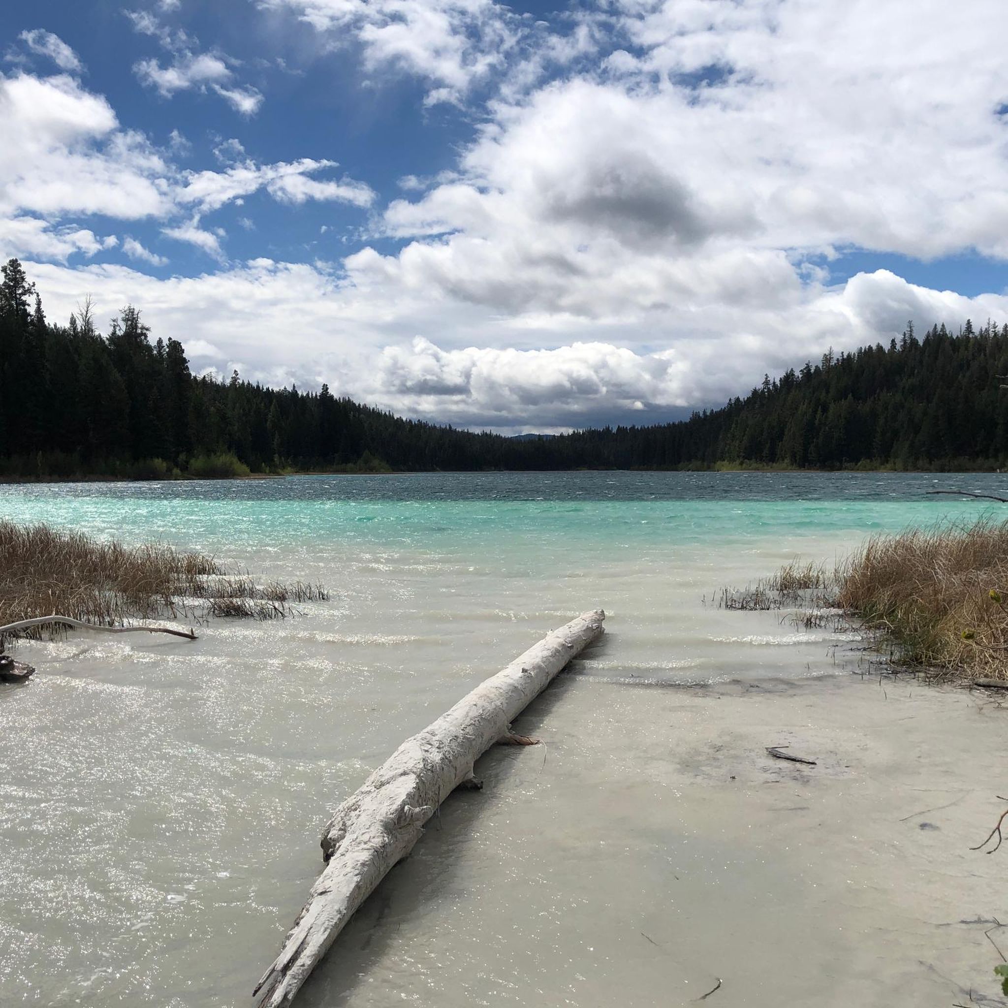
Other adventures around Area N (Beautiful Nicola Valley - South)

Tips from the Community

Illal Meadows stretches across the open alpine country at the head of Illal Creek, with a large tarn at the base of Illal Mountain and plenty of flat spots nearby to pitch a tent. Coquihalla Mountain fills the view across the valley, and in the warmer months you’ll find wildflowers scattered among the grass. It’s often windy up here, and snow can linger well into summer, but the breeze does help keep the mosquitoes away.
0
0

West Lake is a quieter water pocket within Kentucky-Alleyne Provincial Park, away from the busier feel of the main lakes. Framed by the dry Interior forest and calm shoreline, it makes a peaceful pause on the trail, especially if you want a softer, more tucked-away view before looping back toward Kentucky or Alleyne Lake.
0
0

Needle Peak rises to about 2,095 metres and is reached after a steep forest climb and some light scrambling to the summit. On clear days, you can take in views of nearby peaks like Yak, Guanaco, Zopkios, and portions of the Coast and Cascade ranges. Since the final few hundred metres involve scrambling, check conditions and stop at the exposed ridgeline just below the summit if conditions are wet or if the scramble feels too technical.
0
0
The Coquihalla Summit Recreation Area spans 5,750 hectares across the Coquihalla Pass, and is a breathtaking transition zone between the coastal and interior mountains of British Columbia. Established to conserve the unique dry-belt alpine landscape, it offers convenient access to popular high-country trails, including Zoa, Needle, and Flatiron. With its granite ridges, subalpine forests, and remnants of the historic Kettle Valley Railway, this area is a beautiful destination for hikers, snowshoers, and travelers along Highway 5.
0
0

This rest area is at the Coquihalla summit. Wether you are going down or arrived here after the long way up the Coquihalla Highway (5), you should stop here. We had the veggie burger and it was a delicious treat after the long way from Hope on our loaded bikes. There is a tap of potable water available at all time from the right corner of the food truck. Bathrooms are clean, they say the water is not for drinking but I think it could be fine. Theres phone reception and one electrity outlet to recharge your electronics. We were told that it is tolerated to put up your tent around or to sleep inside (which we'll do tonight to avoid freezing outside). It can be noisy at night since many trucks stop here.
0
0
Frequently Asked Questions
What natural features can I explore in the Beautiful Nicola Valley - South?
The region is rich in natural beauty, offering diverse landscapes. You can visit Nicola Lake for water sports, explore the unique wind-sculpted formations at Windy Canyon, or observe 10,000-year-old glacial shorelines along Highway 5A. Distinctive geological formations known as Hoodoos can also be found along Highway 8. For a significant natural landmark, consider visiting the Coquihalla Summit Recreation Area, a vast transition zone between coastal and interior mountains.
Are there any historical landmarks or cultural sites to visit?
Yes, the Nicola Valley - South has a rich history. You can step back in time at the historic Quilchena Hotel, established in 1908 on Nicola Lake, or explore the heritage buildings at Nicola Ranch, a working ranch and tourist attraction. The Coldwater Hotel in downtown Merritt, built in 1909, is another landmark with its distinctive copper dome. For a deeper dive into the region's past, visit the Nicola Valley Museum & Archives in Merritt.
What kind of outdoor activities are available near these attractions?
The area offers a wide range of outdoor activities. Nicola Lake is perfect for kayaking, canoeing, paddleboarding, swimming, and windsurfing. The region is also a prime destination for fishing, with over 200 lakes. For hiking, areas like Kane Valley Trails and Lundbom Commonage provide diverse terrain. Mountain biking is popular on Swakum Mountain, Coutlee Plateau, and Iron Mountain. In winter, Brookmere is a snowmobiling hub, and Kane Valley offers cross-country skiing and snowshoeing. You can find various hiking routes, including challenging ones like Needle Peak Trail and Zoa Peak Trail.
Are there family-friendly attractions or activities in the Nicola Valley - South?
Absolutely! Families can enjoy the public beaches and swimming at Monck Provincial Park on Nicola Lake. Rotary Park in Merritt features picnic areas and a spray park, while Lions Memorial Park offers riverside picnic spots. The Merritt Murals, a collection of over 20 country music murals downtown, are a popular and engaging attraction for all ages. Many of the natural areas, like the easy trails around Flatiron Lake, are also suitable for family outings.
Where can I find scenic viewpoints in the region?
For stunning vistas, consider hiking to Needle Peak, which offers views of nearby peaks and portions of the Coast and Cascade ranges on clear days. Zoa Peak also provides fantastic open alpine views. The Coquihalla Summit Recreation Area itself is a breathtaking transition zone with scenic beauty. Additionally, the extensive grasslands and rolling hills throughout the region offer picturesque backdrops.
What are some unique experiences related to the region's ranching heritage?
The Nicola Valley is deeply rooted in ranching. You can experience agritourism at Douglas Lake Ranch, Canada's largest working cattle ranch, which has been operating since 1884. Nicola Ranch also offers a glimpse into the past with its restored heritage buildings and ongoing ranch operations. These sites provide a unique opportunity to connect with the area's agricultural lifestyle.
Are there any easy hiking trails suitable for beginners or casual walkers?
Yes, there are options for easier walks. Monck Provincial Park offers trails, including those to view ancient volcanic Lava Cliffs, which can be enjoyed by many. The trails circling Flatiron Lake provide scenic spots for breaks and are generally accessible. For a specific easy route, consider the Kentucky Lake loop from Kentucky-Alleyne Provincial Park, which is rated as easy.
What is the best time of year to visit the Nicola Valley - South for outdoor activities?
The best time largely depends on your preferred activities. For hiking, mountain biking, and water sports, late spring through early fall (May to September) offers pleasant weather. The region's lakes are ideal for swimming and boating during the warmer months. For winter activities like snowmobiling, cross-country skiing, and snowshoeing, December to March provides snowy conditions, particularly in areas like Brookmere and Kane Valley.
Where can I find amenities like parking or places to eat near attractions?
The city of Merritt, centrally located in the region, offers various amenities including cafes, pubs, restaurants, and accommodation options. For specific attractions, the Zopkios Rest Area at the Coquihalla Summit provides facilities, including clean bathrooms, a food truck, and potable water, making it a convenient stop for travelers exploring the Coquihalla Summit Recreation Area.
What unique cultural attractions are there in Merritt?
Merritt is known as the 'Country Music Capital of Canada.' You can explore the vibrant Merritt Murals, a collection of over 20 country music-themed artworks throughout downtown. The city is also home to the Canadian Country Music Hall of Fame and features a Walk of Stars. Additionally, the Nicola Valley Courthouse Arts Gallery showcases local art and offers a gift shop with regional goods.
Are there opportunities for fishing in the Nicola Valley - South?
Yes, the Nicola Valley is a premier fishing destination. With over 200 lakes, it offers excellent opportunities for fly fishing, trolling, and ice fishing. Notable lakes for fishing include Nicola Lake, Marquart Lake, Stump Lake, and Kentucky Lake, catering to various fishing preferences.
What are some of the more challenging hikes in the area?
For experienced hikers seeking a challenge, the region offers several demanding trails. Needle Peak involves a steep forest climb and some light scrambling to reach its 2,095-meter summit. Zoa Peak also presents a steady climb to its broad, open summit, rewarding hikers with fantastic alpine views. You can find more details on these and other challenging routes in the Hiking around Area N (Beautiful Nicola Valley - South) guide.
Most popular routes around Area N (Beautiful Nicola Valley - South)

Get inspired with the komoot mobile app


Explore more
Still not found the Highlight you’re looking for? See guides of the top attractions in other regions:
