Top 20 Natural Monuments in Imboden
Best natural monuments in Imboden are found within the Graubünden canton of Switzerland, characterized by alpine landscapes and diverse ecosystems. The region features significant geological formations, deep gorges, and high-altitude natural features. Imboden offers a variety of natural attractions, from glacial mills to expansive river confluences. These sites provide opportunities to experience the area's natural environment.
Best natural monuments in Imboden
- The most popular natural monuments is Il Spir Viewing Platform – Rhine Gorge, a viewpoint that offers views…
Last updated: October 25, 2026
Il Spir Viewing Platform – Rhine Gorge
Highlight • Viewpoint
Translated by Google •
Tip by

View of the Ruinaulta (Rhine Gorge)
Highlight • Viewpoint
Translated by Google •
Tip by
Sign up now to discover places like this
Get recommendations on the best single tracks, peaks, & plenty of other exciting outdoor places.
Cresta Lake
Highlight • Lake
Translated by Google •
Tip by

Dreibündenstein Monument
Highlight • Monument
Showing Translation
Tip by

Lake Cauma
Highlight • Lake
Translated by Google •
Tip by

Kunkelspass
Highlight • Mountain Pass
Showing Translation
Tip by

UNESCO World Natural Heritage Tektonikarena Sardona
Highlight • Natural Monument
Showing Translation
Tip by

Segnesboden Waterfall
Highlight • Waterfall
Translated by Google •
Tip by
Glacial Mills Alp Mora
Highlight • Natural Monument
Showing Translation
Tip by

Confluence of the Vorderrhein and Hinterrhein
Highlight • River
Dominated by Reichenau Castle, the hamlet lies at the confluence of the Vorderrhein and Hinterrhein rivers, making it virtually the birthplace of the …
Translated by Google •
Tip by
Sign up for free to discover even more natural monuments in Imboden.
Already have an account?
Start today with a free account
Your next adventure awaits.
Popular around Imboden
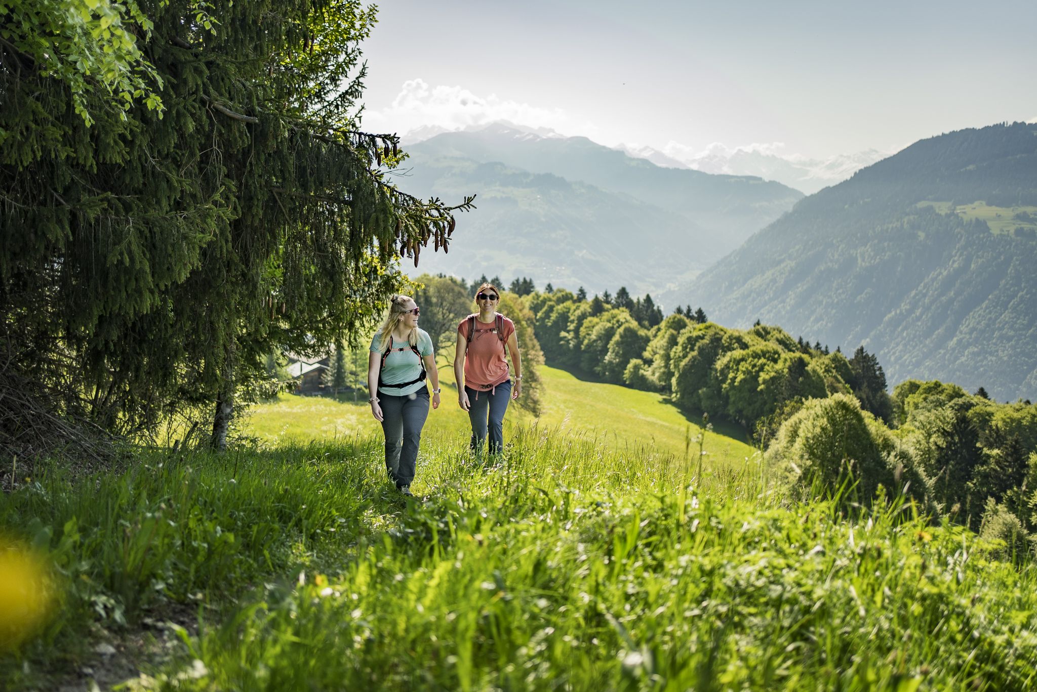
Step into the hiking season – spring routes in Graubünden
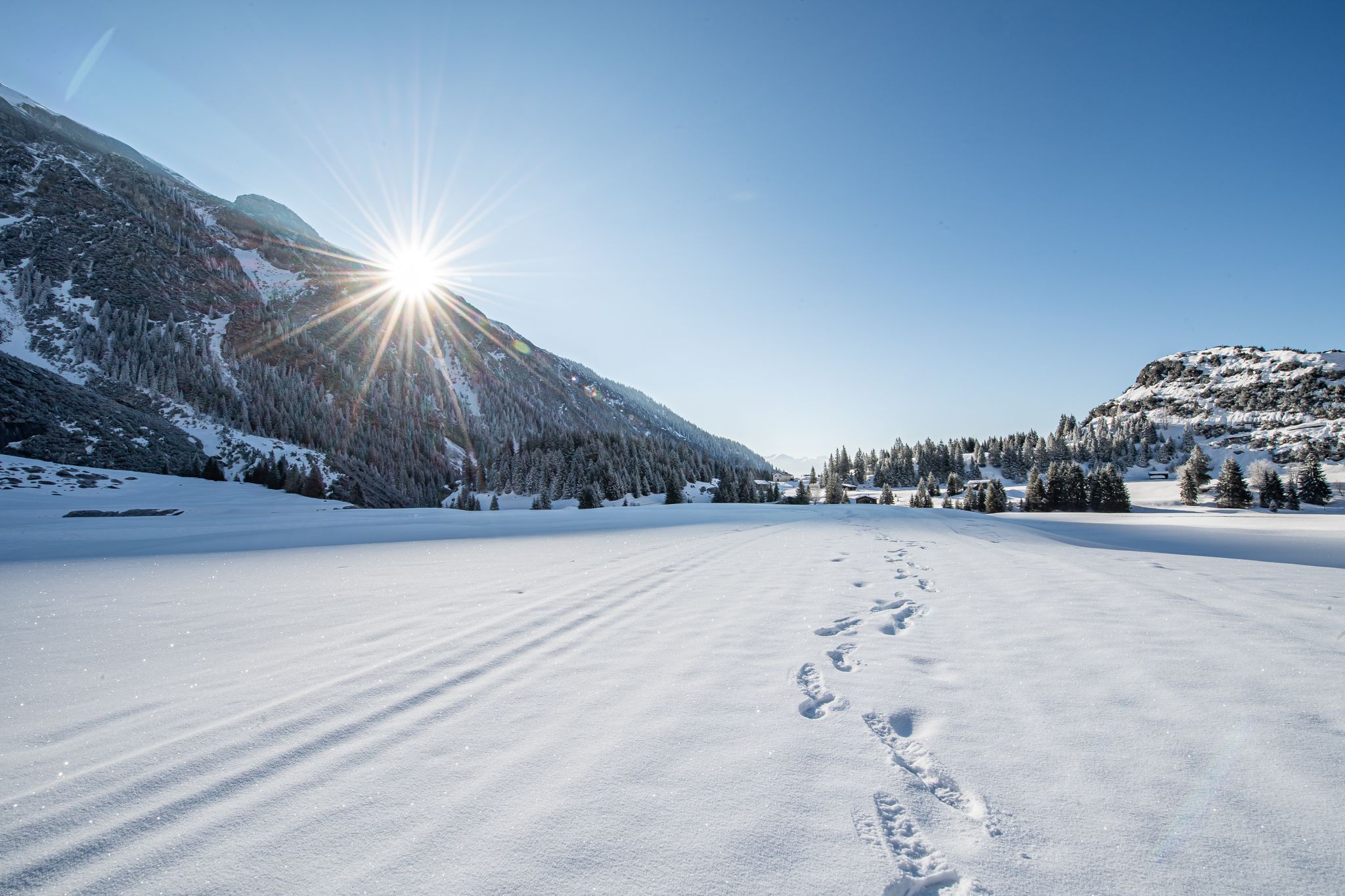
Indulgence to the power of two – culinary delights and winter hiking in Flims Laax
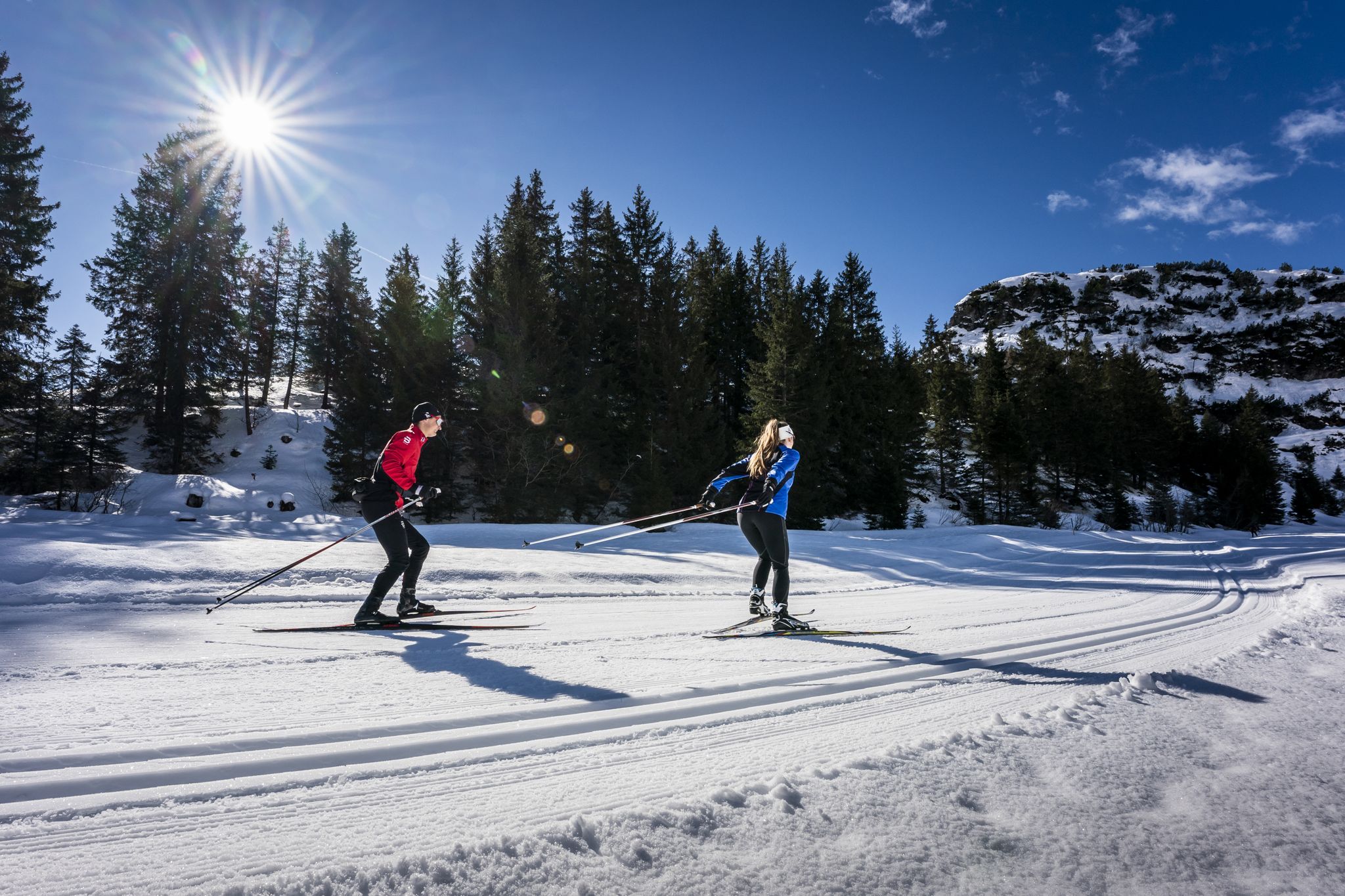
Cross-country skiing in Flims Laax – a Swiss Winter paradise
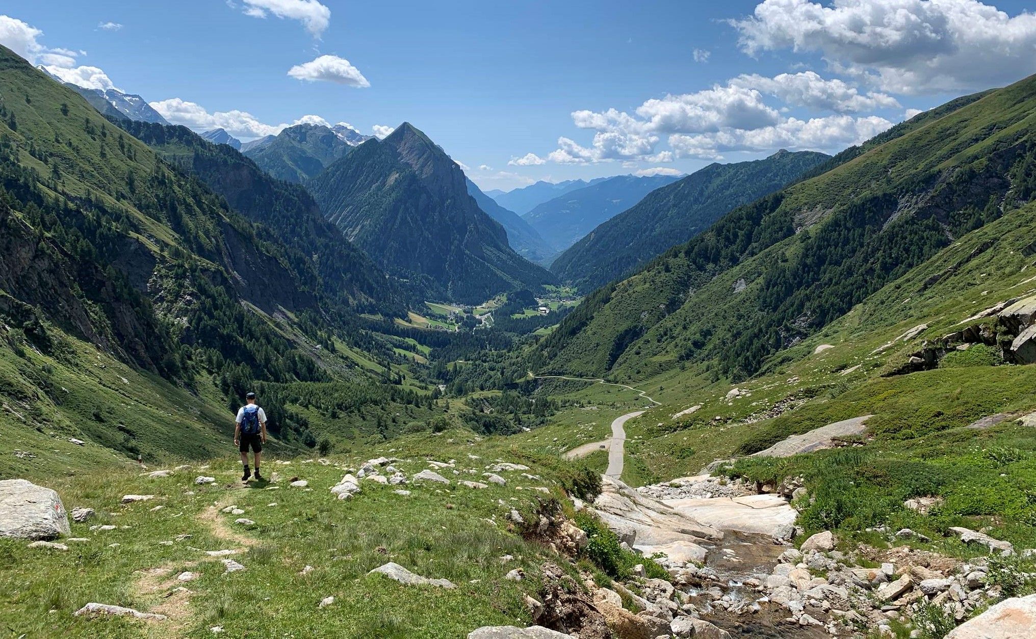
Alpine Passes Trail in Switzerland – 34 stages of pure mountain fun
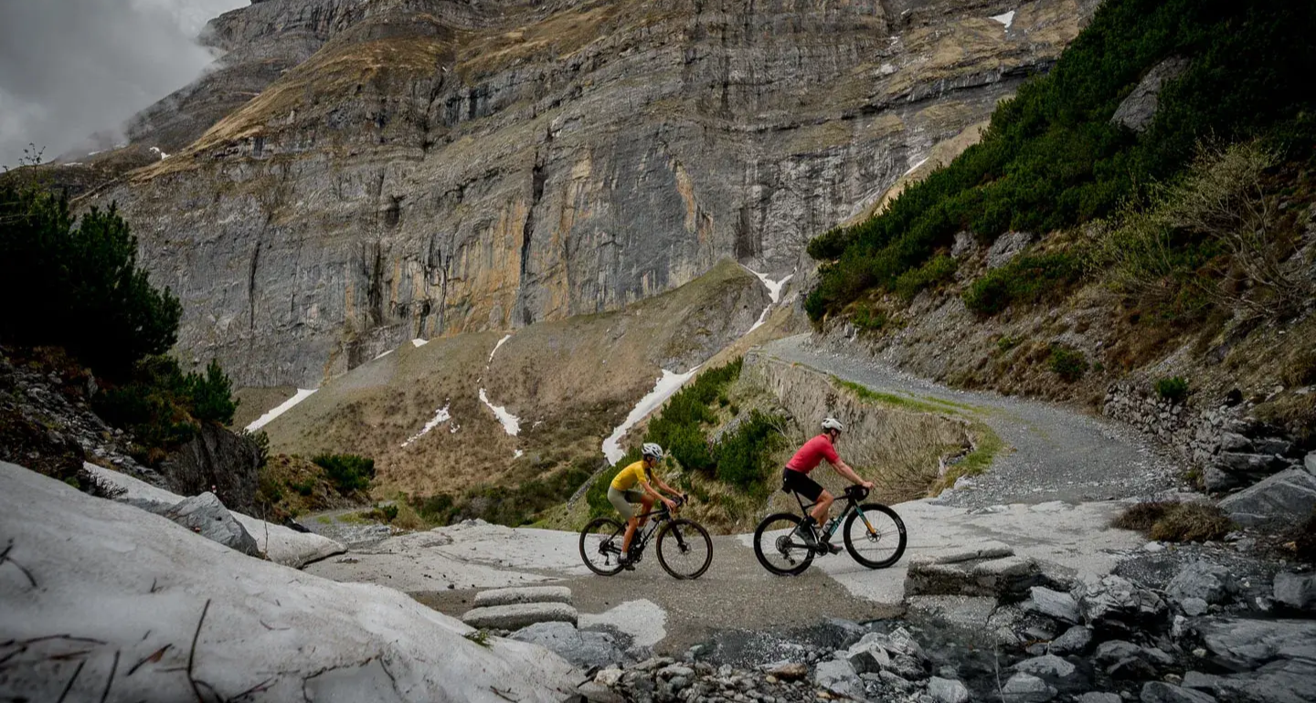
A taste of alpine gravel around Flims and Laax
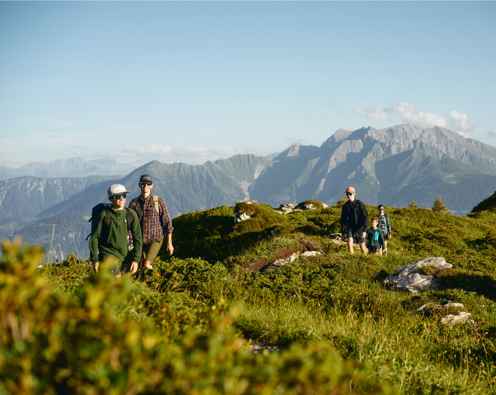
Hiking in and around the Sardona UNESCO World Heritage Site
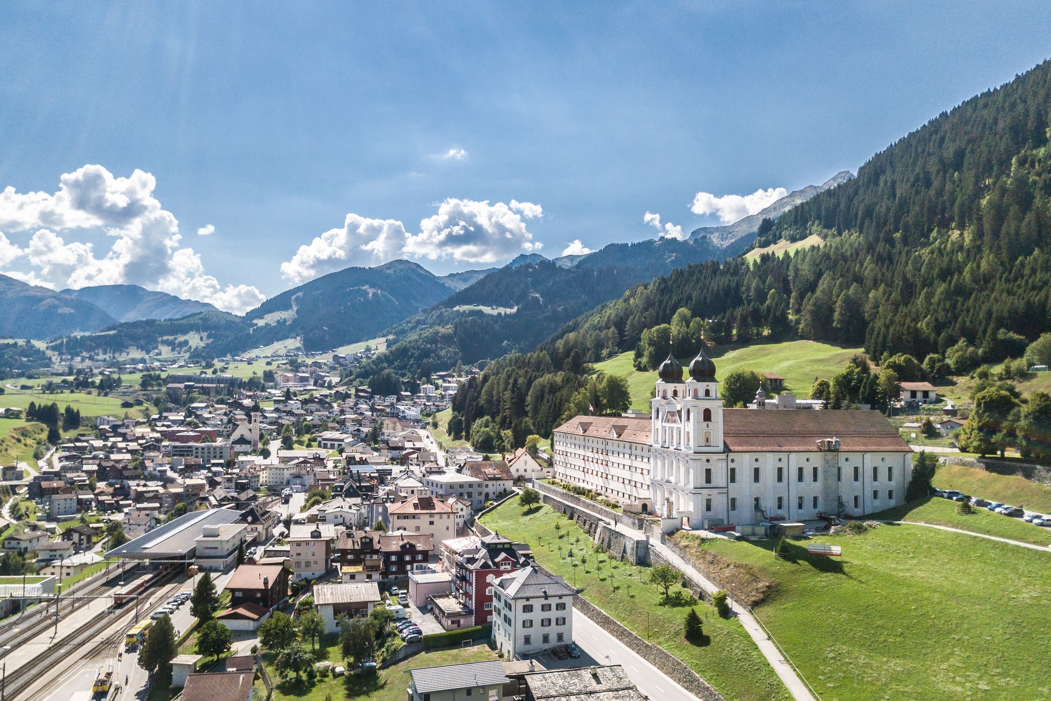
Between water, rock and forest - Grischun Cultura Surselva
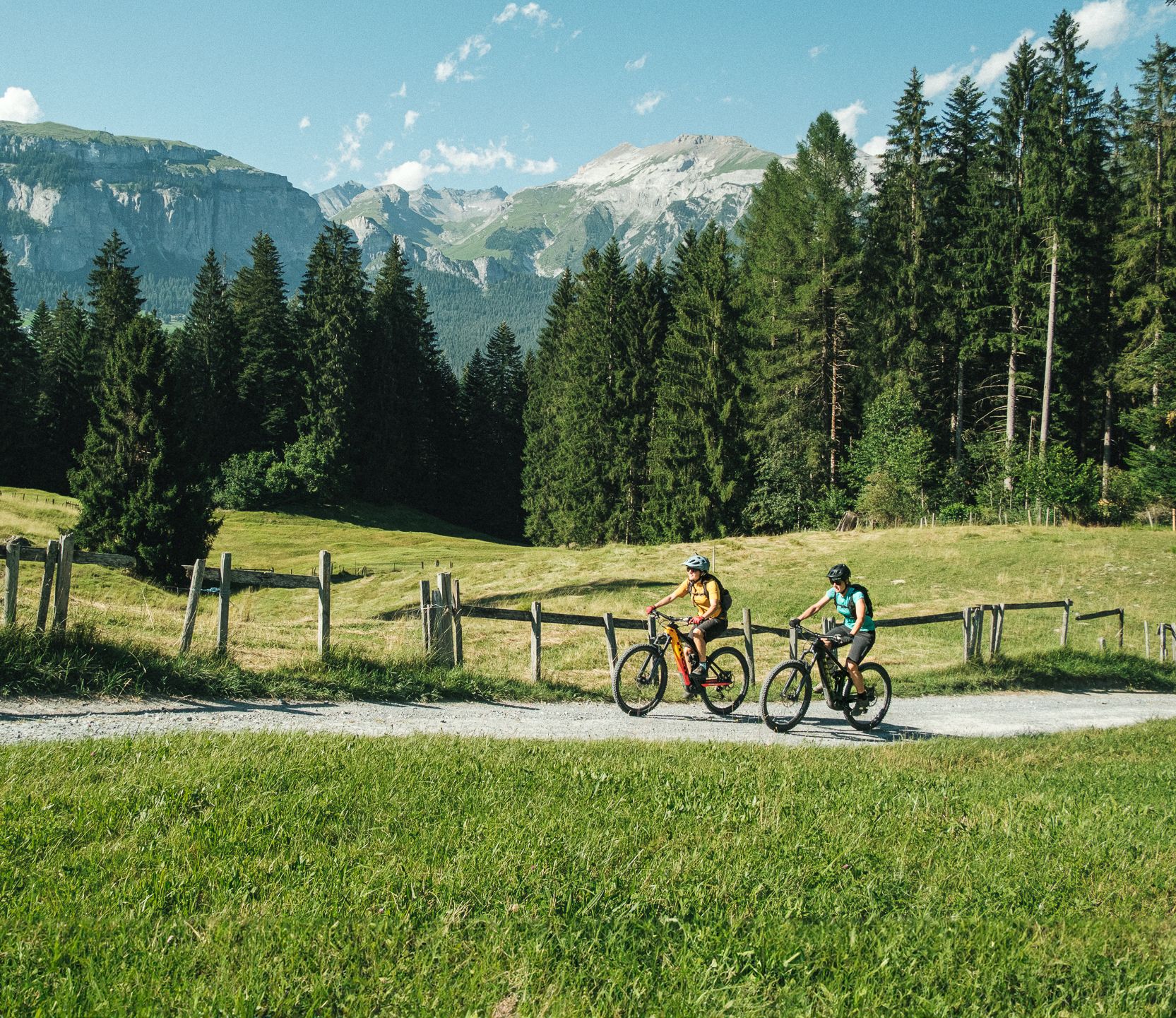
The most beautiful cross country e-bike Tours in Flims Laax Falera
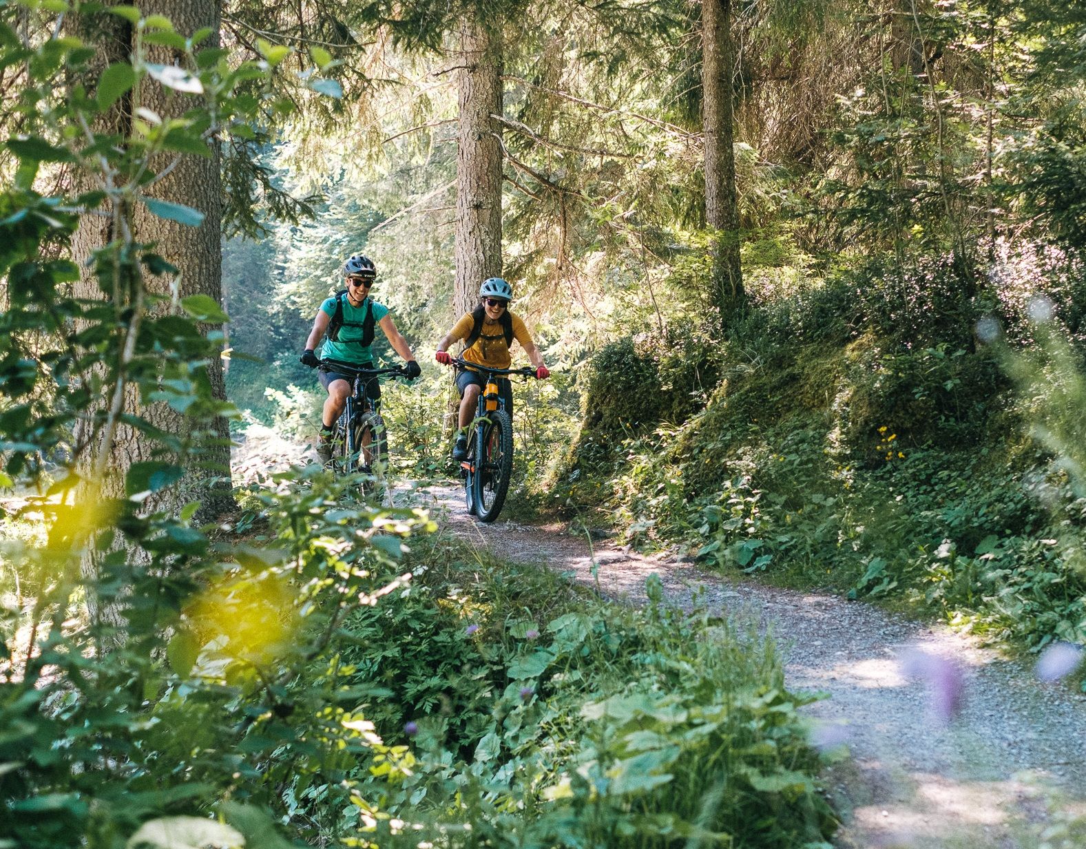
The most beautiful cross country Tours in Flims Laax Falera
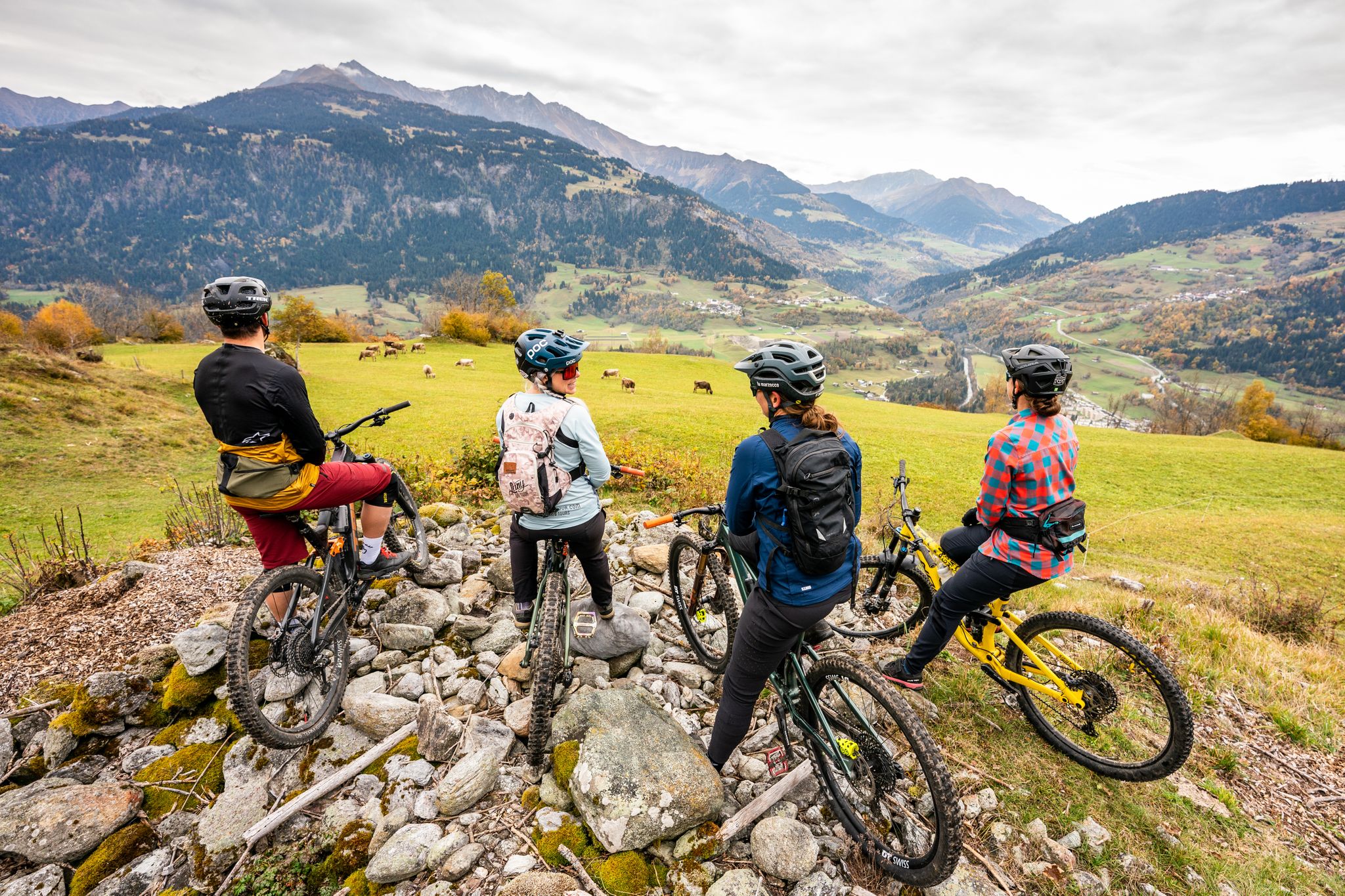
The best Enduro adventures of the Surselva with an E-MTB
Other adventures in Imboden


Tips from the Community

A place of power in a special class
0
0

Ruinaulta Rhine Gorge The Ruinaulta, or Rhine Gorge, is a gorge of the Vorderrhein River, up to 400 meters deep and approximately 13 kilometers long, between Ilanz and the mouth of the Hinterrhein River near Reichenau in the canton of Graubünden in Switzerland. The Romansh name 'Ruinaulta' is composed of the two words ruina (scree slope, quarry) and aulta (high). The Ruinaulta was formed after the Flims Landslide almost 10,000 years ago. At that time, over 10 billion cubic meters of rock broke off between the Flimserstein and Piz Grisch, burying the Vorderrhein Valley between the present-day villages of Castrisch and Reichenau under a mass of debris several hundred meters thick. Because the Vorderrhein River could no longer drain away, a lake was dammed over a length of approximately 25 kilometers. Over time, the river cut deep into the landslide, and the resulting lake drained away completely. What remained was the Ruinaulta, with its steep limestone scree cliffs in impressive erosion formations. Text / Source: Wikipedia https://de.wikipedia.org/wiki/Ruinaulta
16
0
Confluence of the Vorderrhein and Hinterrhein, Reichenau Dominated by Reichenau Castle, the hamlet lies at the confluence of the Vorderrhein and Hinterrhein rivers, making it virtually the birthplace of the Rhine. It all began 10,000 years ago. Between the Flimserstein (a high plateau) and Piz Grisch, over 10,000 cubic meters of rock broke off and thundered down into the valley. Towards Reichenau, the Vorderrhein valley disappears under a gigantic mass of rubble. From there, the Rhine diligently ate its way through the rock, creating the spectacular Swiss "Grand Canyon" – the Ruinaulta. Text / Source: myswitzerland.com https://www.myswitzerland.com/de-ch/erlebnisse/route/vom-zusammenfluss-der-rheine-in-die-rheinschlucht/
16
0


very nice on sunny days
0
0

Fantastic geological phenomenon. After a long dry spell, the water is a bit greasy from the sun cream used by the bathers. ;-)
1
1

When you cross the bridge you have a beautiful view of the confluence of the Vorderrhein and Hinterrhein. From here on the river is called just the Rhine and flows until it flows into the North Sea.
2
0

The Vorderrhein is one of the two source rivers of the Rhine. Its catchment area of 1512 km² lies mainly in the canton of Graubünden. At around 77 kilometers, the Vorderrhein is a good 5 percent longer than the Hinterrhein. However, the Vorderrhein is somewhat smaller with an average water flow of 53.8 m³/s. The Vorderrhein and Hinterrhein meet here. As if they were fighting over who has the right of way, they join forces and set off as the Rhine.
2
0
Frequently Asked Questions
What kind of natural features can I expect to see in Imboden?
Imboden, located in the Graubünden canton of Switzerland, is characterized by stunning alpine landscapes. You'll find significant geological formations, deep gorges like the Rhine Gorge, high-altitude natural features, glacial mills such as Glacial Mills Alp Mora, and expansive river confluences, including the Confluence of the Vorderrhein and Hinterrhein. The region also boasts beautiful lakes like Cresta Lake and the famously clear Lake Cauma, as well as impressive waterfalls like Segnesboden Waterfall.
When is the best time to visit Imboden's natural monuments?
The best time to visit Imboden's natural monuments largely depends on the activities you plan. Summer (June to September) is ideal for hiking, swimming in lakes like Lake Cauma, and enjoying the alpine meadows. Spring and autumn offer beautiful scenery with fewer crowds, though some higher trails might still have snow in spring or be less accessible in late autumn. Winter provides a unique, snowy landscape, but access to certain areas, especially higher mountain passes like Kunkel Pass, may be restricted due to snow.
Are there family-friendly natural monuments in Imboden?
Yes, several natural monuments in Imboden are suitable for families. Lake Cauma is particularly popular, offering sandy beaches for swimming and relaxation. Cresta Lake is another great option for families. The Il Spir Viewing Platform – Rhine Gorge provides breathtaking views that can be enjoyed by all ages, and the Confluence of the Vorderrhein and Hinterrhein is also considered family-friendly.
Can I bring my dog to the natural monuments in Imboden?
Many natural areas and trails in Imboden are dog-friendly, allowing you to explore with your canine companion. However, it's always advisable to keep dogs on a leash, especially in nature reserves, near wildlife, or in crowded areas. Be sure to check specific regulations for each natural monument or trail you plan to visit, as some areas might have restrictions, particularly around swimming spots or protected habitats.
How can I reach Imboden's natural monuments, and is parking available?
Access to Imboden's natural monuments varies. Many sites are accessible by car, with parking available nearby, though it might be paid in popular locations like Lake Cauma. Public transport, including buses and trains, also serves many towns and trailheads in the region, providing good access to areas like the Rhine Gorge. For remote locations or mountain passes like Kunkel Pass, a combination of public transport and hiking is often required.
What outdoor activities can I do near Imboden's natural monuments?
The Imboden district offers a wide range of outdoor activities. You can find numerous hiking trails, from easy walks to challenging mountain hikes. For example, there are many hiking routes in the region, including the 'Four Lakes Hike' or '4-lake hike: Caumasee – Crestasee – Felsbach Gorge'. If you're looking for more challenging adventures, consider the 'Pinut Via Ferrata Entry' for mountaineering. The area also has running trails, such as the 'Flims loop trail'. You can explore more options in the Hiking in Imboden, Mountain Hikes in Imboden, and Running Trails in Imboden guides.
Are there any wheelchair-accessible natural monuments in Imboden?
While many natural monuments in Imboden involve uneven terrain, Lake Cauma is noted as being wheelchair-accessible, offering facilities and paths that allow visitors with mobility challenges to enjoy its beauty. It's always recommended to check specific accessibility details for other locations before your visit.
What kind of wildlife can I spot near Imboden's natural monuments?
The Imboden District is rich in biodiversity, especially in its alpine meadows and coniferous forests. At higher altitudes, you might have the chance to spot local wildlife such as marmots and chamois. Birdwatching is also popular, with various alpine species inhabiting the region. Keep an eye out for these animals while exploring the natural monuments.
Are there any lesser-known natural monuments worth exploring in Imboden?
Beyond the most popular sites, Imboden offers several unique natural monuments. The Glacial Mills Alp Mora are a fascinating geological feature, showcasing the power of ancient glaciers. The Confluence of the Vorderrhein and Hinterrhein offers a serene spot where two major rivers meet. These sites provide a deeper connection to the region's natural history and are often less crowded than the main attractions.
What do visitors enjoy most about Imboden's natural monuments?
Visitors consistently praise the breathtaking views and the pristine natural beauty of Imboden. The Rhine Gorge is often described as a 'real natural wonder' with 'breathtaking views.' The Tectonic Arena Sardona is celebrated for its 'super beautiful view' of the Tschingelhörner. The opportunity to immerse oneself in the alpine scenery, whether hiking or simply enjoying the tranquility of lakes like Lake Cauma, is a major draw.
Are there historical natural monuments in Imboden?
Yes, some natural monuments in Imboden also hold historical significance. The Tectonic Arena Sardona is a UNESCO World Heritage Site recognized for its geological and geomorphological values, representing millions of years of Earth's history. Additionally, the Dreibündenstein Monument, while a man-made monument, is situated within a natural setting and commemorates a historical alliance, offering both natural beauty and a glimpse into the region's past.
What should I wear when visiting natural monuments in Imboden?
Given the alpine environment of Imboden, it's best to dress in layers, regardless of the season. Sturdy hiking shoes with good grip are essential for trails and uneven terrain. Even in summer, a waterproof and windproof jacket is advisable, as weather conditions can change rapidly. For sun protection, bring a hat, sunglasses, and sunscreen. If visiting in winter, warm, insulated clothing, waterproof outer layers, and appropriate winter footwear are crucial.
Most popular routes in Imboden
Most popular attractions in Imboden

Get inspired with the komoot mobile app


Didn’t find what you were looking for?
Find even more amazing natural monuments in Imboden by checking out the top Highlights region by region:
Explore more
Extend your search for the best caves by checking out these guides of the top ones in Imboden:
