Top 20 Natural Monuments around Plattling
Best natural monuments around Plattling are found within a naturally rich area of Bavaria, characterized by its riverine landscapes. The town is situated near the Isar and Danube rivers, offering diverse ecosystems including floodplains and forests. This region provides opportunities to explore significant natural features and protected areas. The landscape around Plattling is shaped by the confluence of major rivers and their surrounding environments.
Best natural monuments around Plattling
- The most popular natural monuments is Isar Wave Plattling, a…
Last updated: July 22, 2026
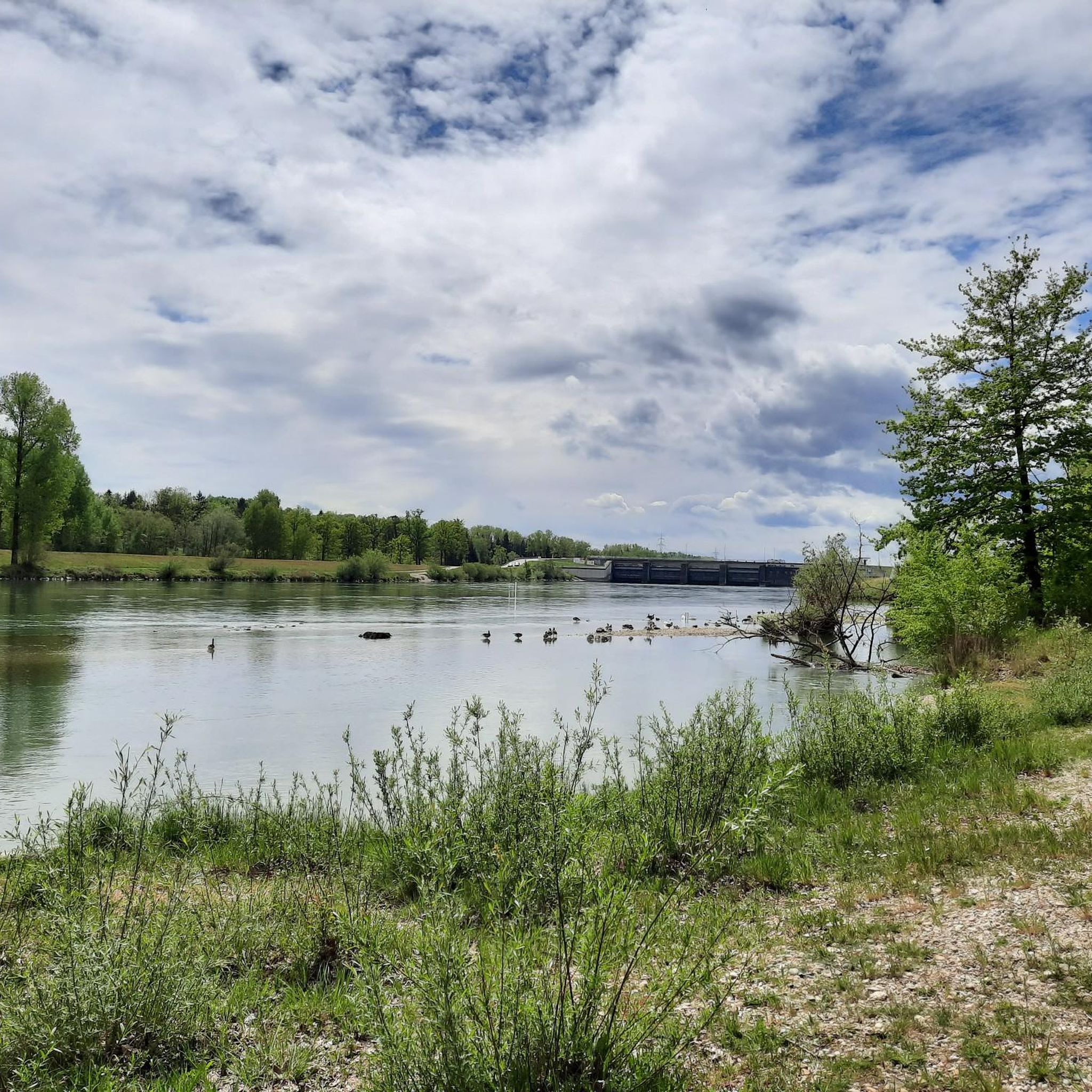
Isar Confluence
Highlight • Natural Monument
Translated by Google •
Tip by

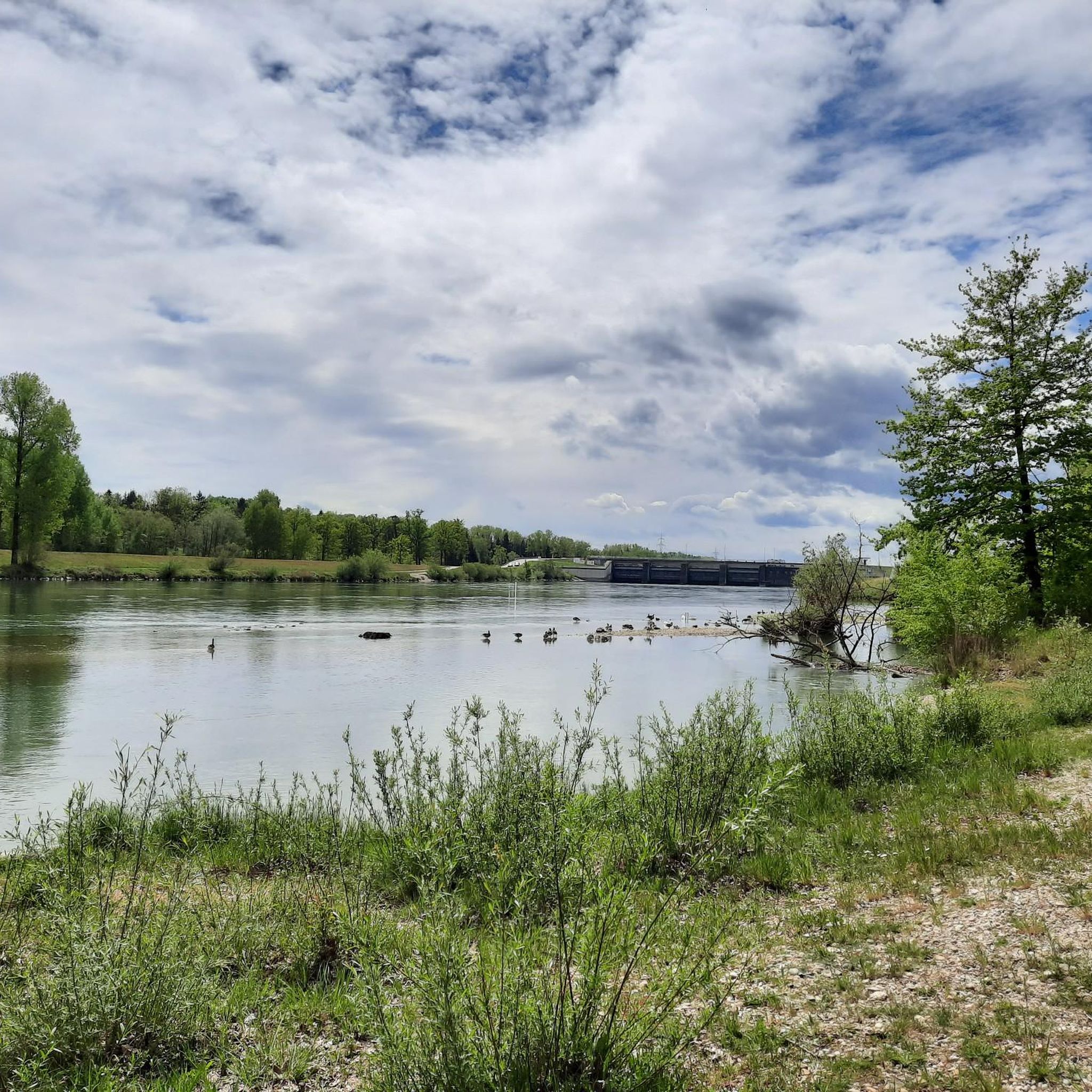
Isar Wave Plattling
Highlight • River
Translated by Google •
Tip by

Sign up now to discover places like this
Get recommendations on the best single tracks, peaks, & plenty of other exciting outdoor places.
Sign up for free
Egg Castle
Highlight • Castle
Translated by Google •
Tip by

Isarmündung Information Center
Highlight • Rest Area
Translated by Google •
Tip by
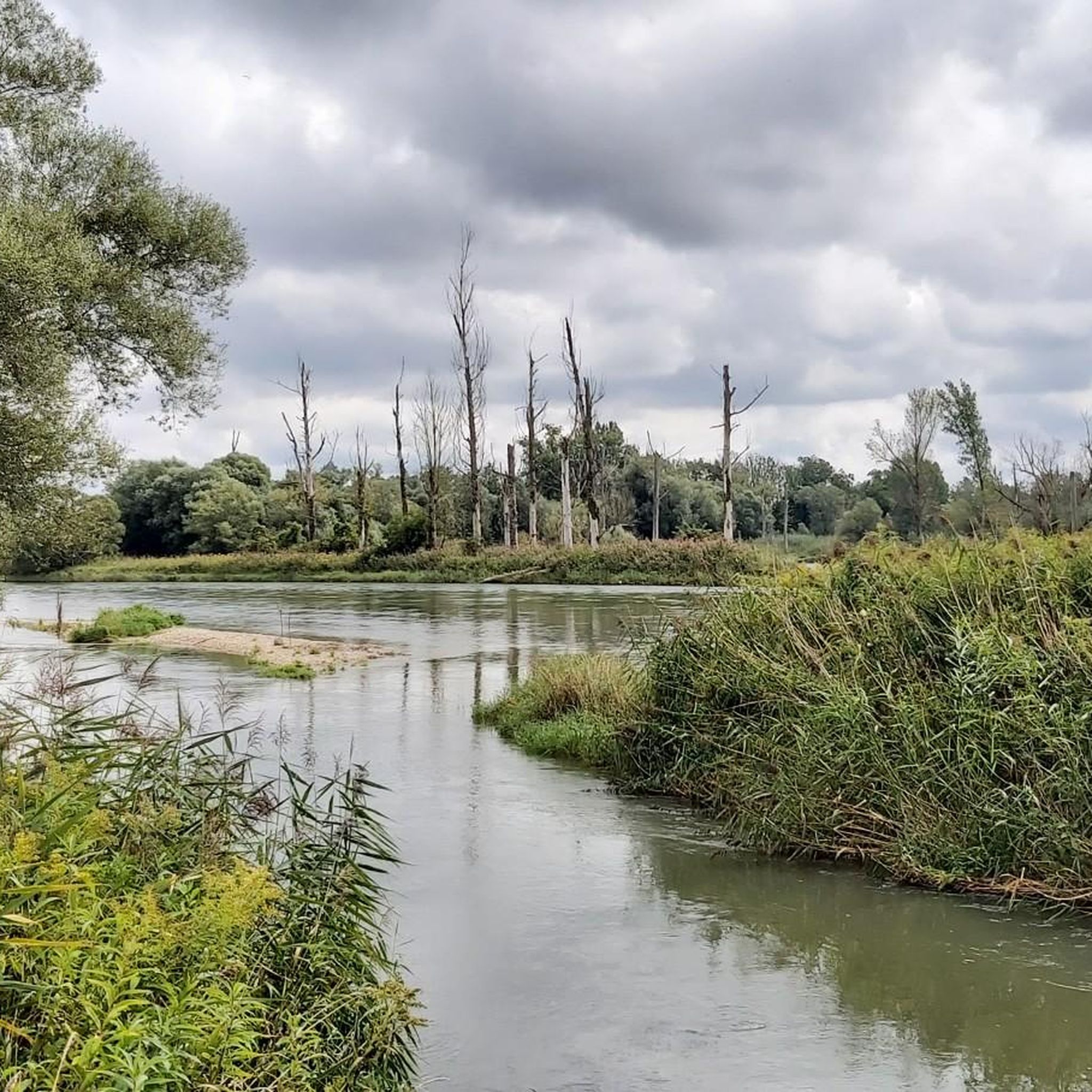
Isarmündung Nature Reserve
Highlight • River
Translated by Google •
Tip by
Sign up for free to discover even more natural monuments around Plattling.
Sign up for free
Already have an account?
Start today with a free account
Your next adventure awaits.
Login or Signup
Tips from the Community

Opening Hours of the Isar Estuary Information Center April 1 to October 31 Wednesday to Sunday 10:00 AM to 5:00 PM The information center is also open on public holidays that fall on Mondays or Tuesdays. Admission is free
0
0

In the morning in winter, with sun and fog. Mystical🫶🏄♂️☀️😎
12
0

Egg Castle is located in the Egg part of the municipality of Bernried in the district of Deggendorf. The former defensive structure was built in the 11th century in the valley of the Mettenbach as a moated castle and was given a romantic makeover in the middle of the 19th century. The complex is listed as an architectural monument under the file number D-2-71-116-14. The complex is also listed as an archaeological monument under the file number D-2-7143-0001 with the description "underground medieval and early modern findings in the area of the castle ruins and castle of Egg".
3
0


It was wonderful to cycle here - we will definitely come back 👍🏻
0
0

Nice place, there is a lot to discover for big and small. Important: mosquito repellent!!! Dogs are not allowed in the Infohaus area.
0
0

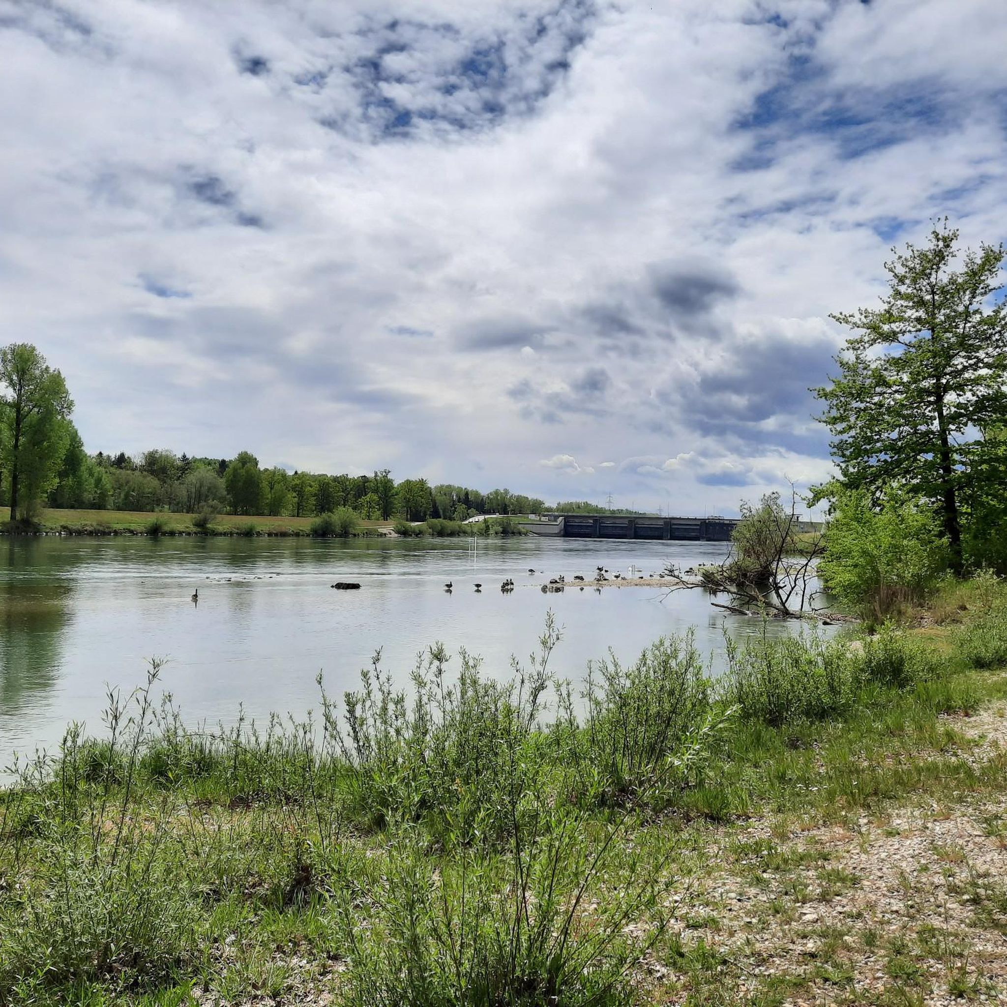
Here on the Isar there are great paths for biking and hiking. The landscape in this area is simply fantastic and always worth a visit.
34
2
Here on the Isar there are great paths for biking and hiking. The landscape in this area is simply fantastic and always worth a visit.
32
2
Frequently Asked Questions
What are the most notable natural landmarks around Plattling?
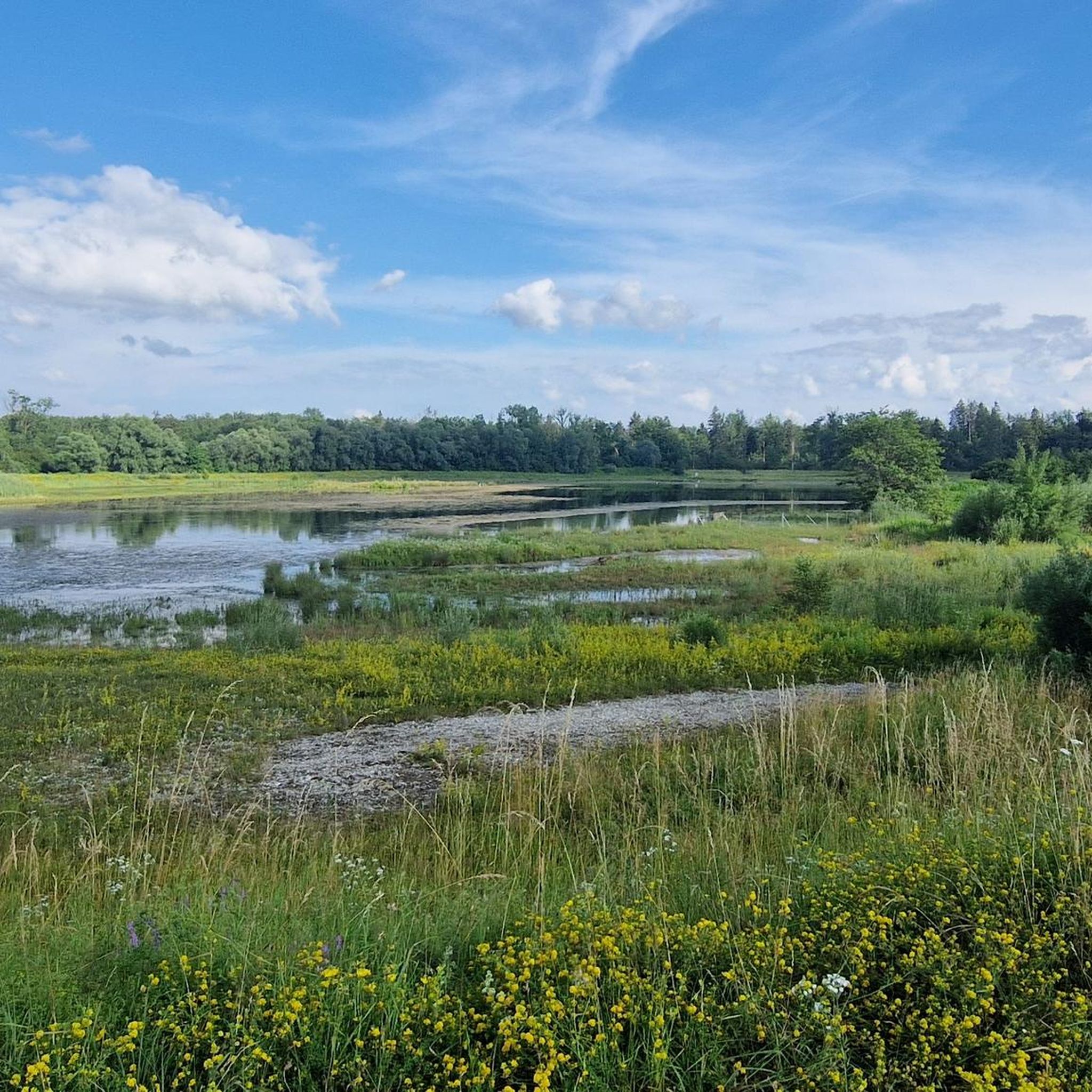
The region around Plattling is characterized by its riverine landscapes and the confluence of major rivers. Key natural landmarks include the Isar Confluence, where the Isar River meets the Danube, creating an impressive landscape with backwaters and alluvial forests. Another significant spot is the Isar Wave Plattling, a unique river feature where visitors can observe canoeists and surfers.
What kind of natural features can I expect to see around Plattling?
Around Plattling, you can expect to see diverse riverine landscapes, extensive floodplains, and protected forest areas. The region is shaped by the Isar and Danube rivers, offering unique ecosystems such as alluvial forests, moist meadows, and backwaters. These environments are crucial for biodiversity and provide habitats for various flora and fauna.
Are there hiking trails near these natural monuments?
Yes, the area around Plattling offers numerous opportunities for hiking. For example, the Isar Confluence is situated within a nature reserve with paths that lead through beautiful meadow landscapes. You can find various running trails, including those along the Isar River, by exploring the Running Trails around Plattling guide.
What outdoor activities can I do near these natural monuments?
Beyond observing the natural beauty, you can engage in various outdoor activities. Cycling is popular, especially along the Isar Cycle Path, which traverses the floodplain landscape. The region also offers extensive opportunities for running and gravel biking. For detailed routes, check out the Road Cycling Routes around Plattling and Gravel biking around Plattling guides.
Are there family-friendly natural monuments or trails around Plattling?
Absolutely. Several natural monuments are suitable for families. The Isar Confluence and Isar Wave Plattling are both categorized as family-friendly, offering easy access and interesting sights. The Isarmündung Information Center is also a great family stop, providing educational insights into the local ecosystem.
Can I spot wildlife at the natural monuments around Plattling?
Yes, the natural areas around Plattling, particularly the Isar Floodplain Forest at the Isar Mouth, are rich in biodiversity. This area is part of the European Natura 2000 network and is home to rare species of flora and fauna. You might spot protected animals like the beaver, bluethroat, middle woodpecker, and various fish species. Nature is mostly left to itself here, offering excellent wildlife observation opportunities.
What is the best time to visit the natural monuments around Plattling?
The natural monuments around Plattling can be enjoyed throughout the year, but each season offers a different experience. Spring and summer are ideal for cycling and hiking, with lush greenery and active wildlife. Autumn brings beautiful foliage to the floodplain forests. Even in winter, with sun and fog, spots like the Isar Wave Plattling can offer a mystical atmosphere.
Is there parking available near the natural monuments?
While specific parking details for every natural monument are not provided, areas like the Isarmündung Information Center typically offer facilities for visitors, which often include parking. For trails leading to the Isar Confluence, you can often find unpaved roads from Plattling that lead to the area, suggesting accessible points for vehicles.
Are the natural monuments and trails dog-friendly?
Many natural areas in Bavaria are generally dog-friendly, especially on trails. However, specific regulations can apply within nature reserves to protect wildlife. For instance, the Isar Confluence is within a nature reserve, so it's advisable to keep dogs on a leash to respect the sensitive ecosystem. Always look for local signage regarding dog policies.
Are there any cultural or historical sites considered natural monuments in the area?
Yes, Egg Castle is a notable example. This privately owned castle complex is considered a natural monument due to its unique setting. It offers guided tours, allowing visitors to explore both its historical significance and its integration into the natural landscape.
What are the terrain details for trails in the Isarmündung Conservation Area?
The Isarmündung Conservation Area, particularly around the Isar Floodplain Forest at the Isar Mouth, features varied terrain. Paths can range from well-maintained to unpaved, leading through meadow landscapes and alluvial forests. Some paths might suddenly end or be overgrown due to the area being largely left to nature. Expect mostly flat to gently rolling terrain suitable for cycling and walking.
Are there good viewpoints near Plattling's natural areas?
The Isar Confluence itself serves as an impressive viewpoint, offering panoramic views of where the Isar meets the Danube, surrounded by backwaters and alluvial forests. The Isarmündung Information Center also provides excellent vantage points to observe the river landscape.
Most popular routes around Plattling
Most popular attractions around Plattling

Get inspired with the komoot mobile app


Explore more
Extend your search for the best caves by checking out these guides of the top ones around Plattling:
