Top 4 Mountain Passes around Surberg
Best mountain passes around Surberg offer access to the Chiemgau mountains in Bavaria, Germany. This region is characterized by its diverse landscape, featuring rolling hills, forested areas, and elevated viewpoints. Visitors can explore routes that traverse valleys and ascend to scenic passes, providing varied outdoor experiences. The area around Surberg is known for its natural features and is a destination for those seeking mountain pass trails.
Best mountain passes around Surberg
- The most popular mountain passes is View of Falkenstein…
Last updated: September 28, 2026
Steep Ascent to Riedl Pass
Highlight (Segment) • Mountain Pass
Translated by Google •
Tip by

View of Falkenstein
Highlight • Viewpoint
Translated by Google •
Tip by

Sign up now to discover places like this
Get recommendations on the best single tracks, peaks, & plenty of other exciting outdoor places.
Bichl Pass (740 m)
Highlight (Segment) • Mountain Pass
Translated by Google •
Tip by

Inzeller Höhe
Highlight (Segment) • Mountain Pass
Translated by Google •
Tip by

Start today with a free account
Your next adventure awaits.




Tips from the Community

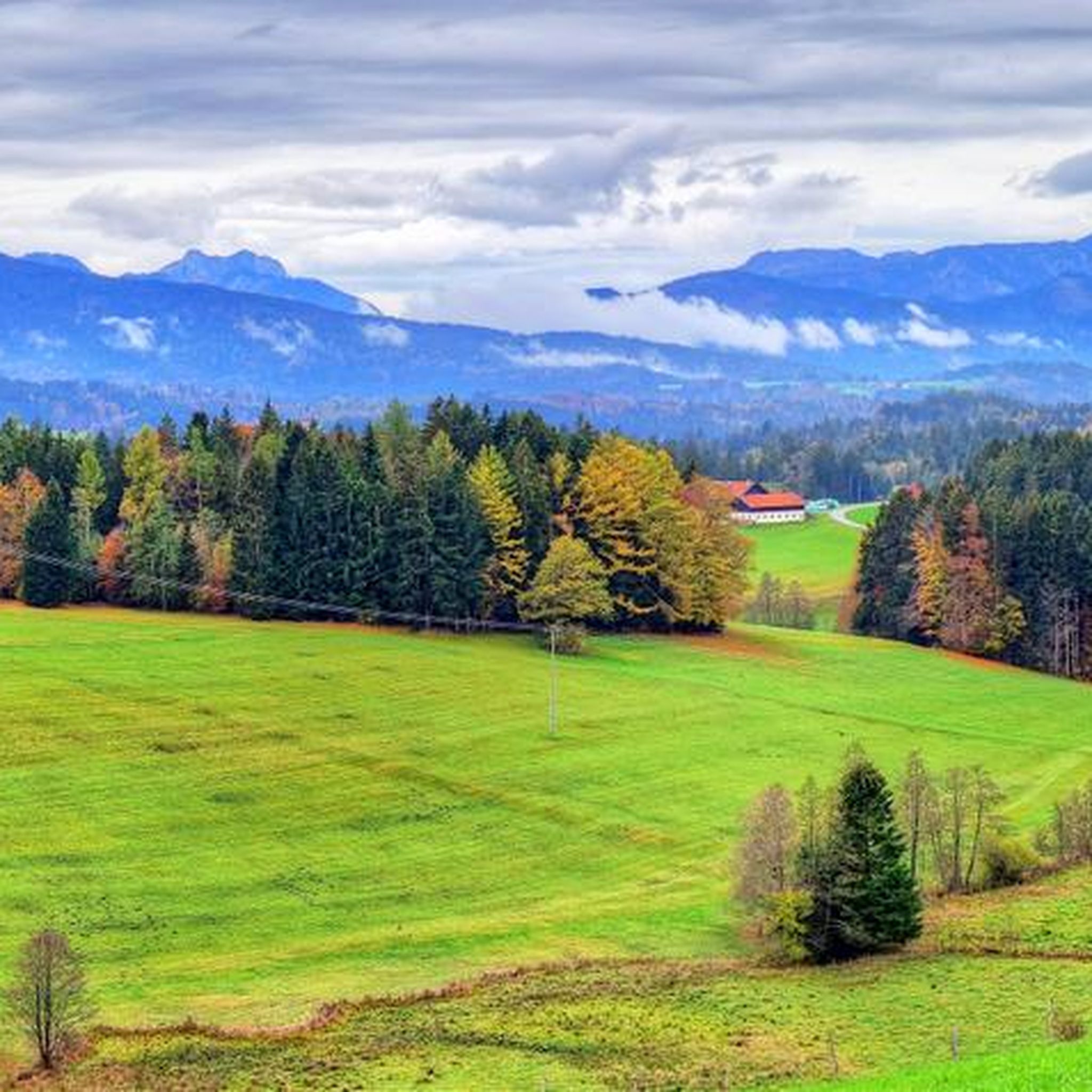
The Falkenstein forms a small, isolated mountain range stretching north-northeast. It stretches over 1.9 kilometers but is only 1 kilometer wide. To the north is the 785 meter high Söldenberg. The Falkenstein range has two peaks - a 1092 meter high pre-summit with a summit cross in the north (north peak) and the actual 1181 meter high main peak at the southern end of the range. Orographically, the southwest side of the Falkenstein range is separated from the Kienbergl (1135 m) in the west by a rather narrow valley. A small stream flows through this valley, ending in the Zwingsee at the western foot of the mountain, and it is also crossed by the German Alpine Road (B 305). The east side of the Falkenstein forms the wide valley, which separates it from Scharnkopf (1356 m) and Gruberhörndl (1493 m). The Falkenseebach flows through the Weittal into the Falkensee and then further north in the direction of Inzell. The Falkenseebach rises in several springs at the southern end of the wide valley west below the Great Tower (1120 m). Just under 900 meters southwest of the main summit, the so-called Weißbach waterhole also flows out of the so-called water hole at the end of the Weittal, which, however, continues south past Scharmann in the direction of the Weißbach glacier garden. The watershed between the catchment area of the Rote Traun and the Saalach runs between these two source areas. At the northeast end of the Falkenstein below the Söldenberg is the Krottensee, whose small outflow flows into the Falkenseebach on the left. (Wikipedia)
0
0

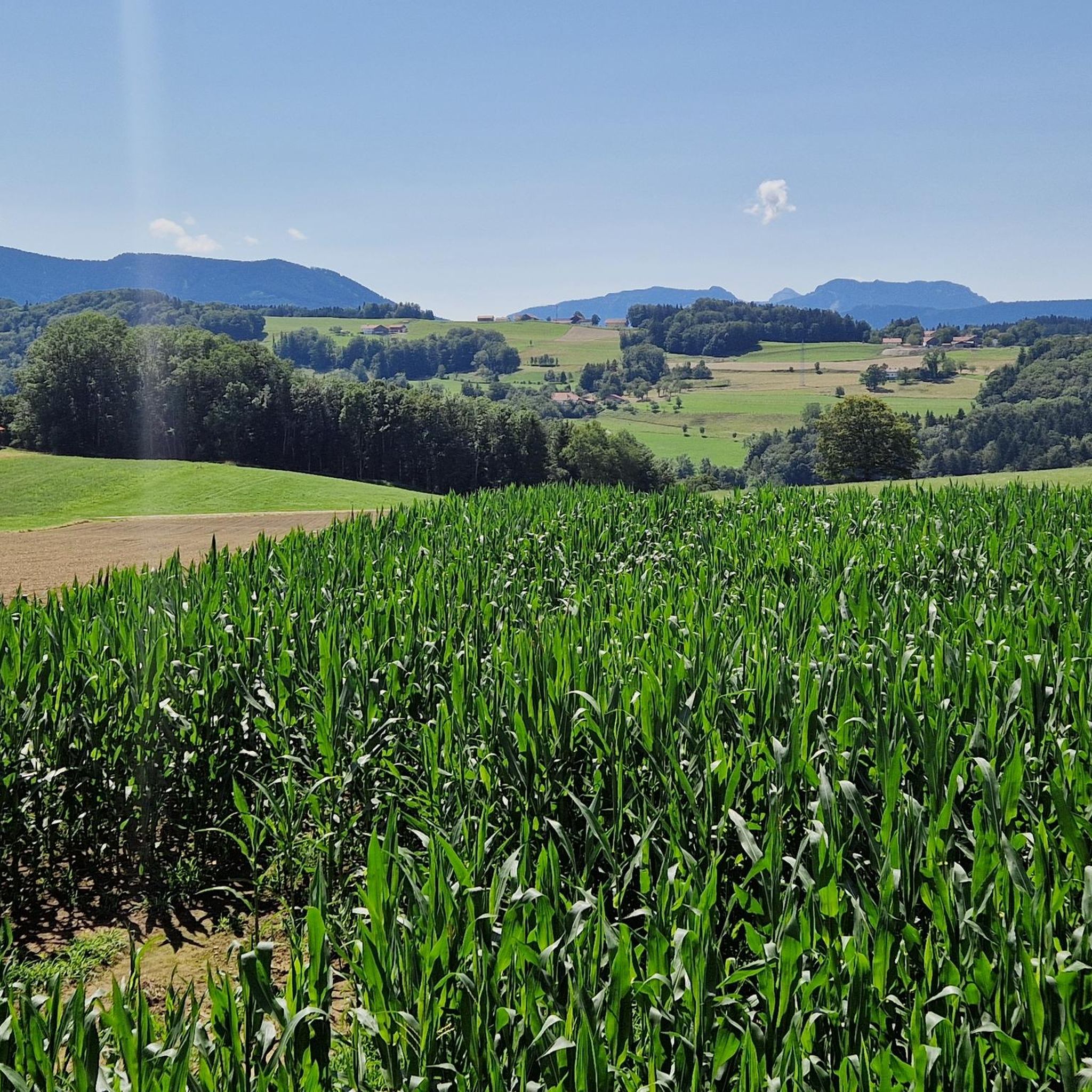
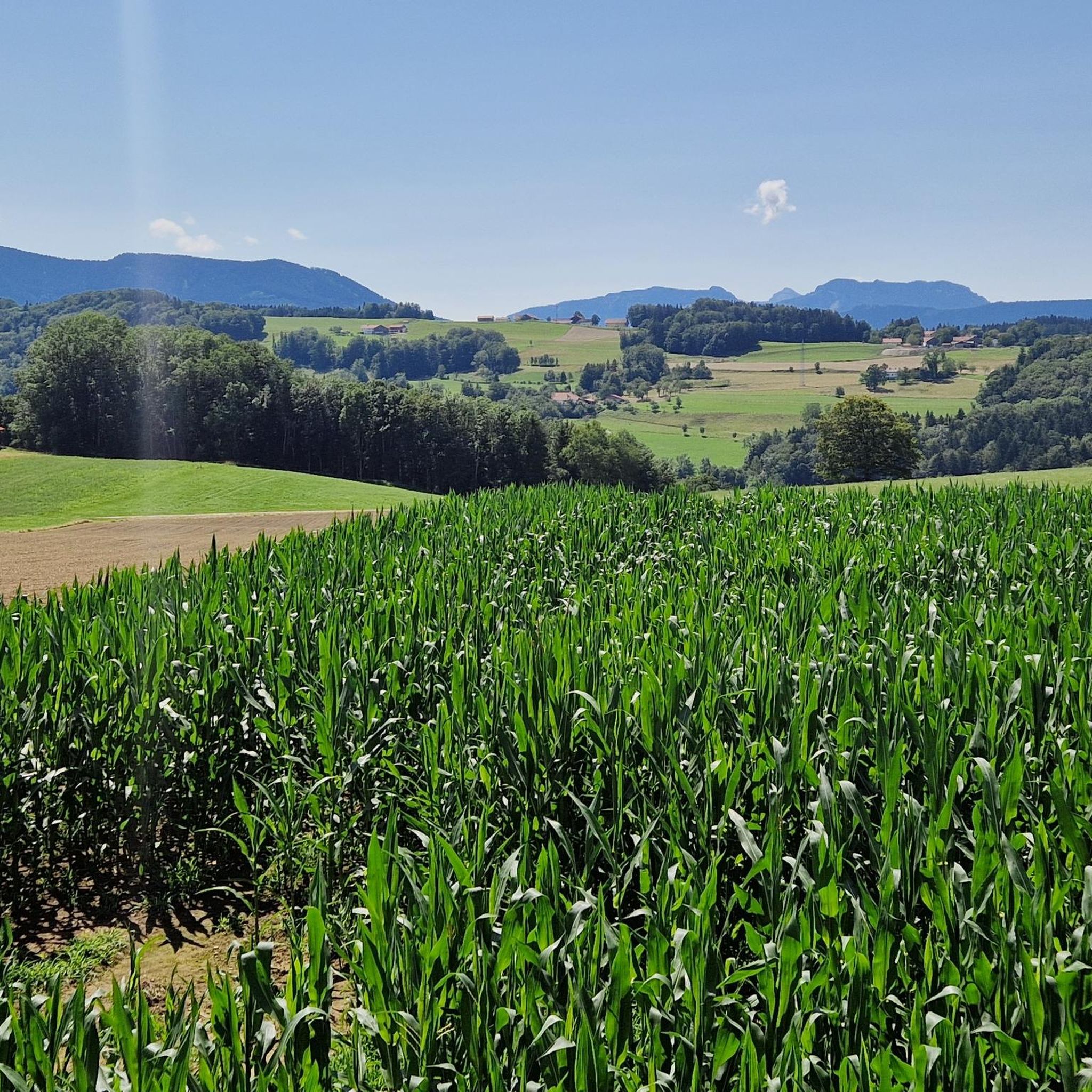
The eastern driveway starts near Neukirchen am Teisenberg right next to the A8, where the road to Riedl branches off into the forest. On the following two kilometers there are now 154 meters of altitude to conquer. Immediately you are confronted with a twelve percent ramp. We initially move parallel to the motorway before the little road bends to the left and thus in a south-westerly to southerly direction. The most difficult section lurks when you leave the forest. Not only the maximum gradient of 13 to 14 percent, but also the sunshine on hot summer days make this section particularly hard. You can already see the goal in front of you, but you still have to climb one last trick. The highest point is then reached at an elevated tank and you can plunge into the descent.
1
0

Coming from Adlgass at Inzeller Höhe, you have fully made the climb. Direction Anger, so straight ahead here, it's only downhill. First a gravel road, later a paved road. Very good to drive. But if you turn right here towards Fürmannalm, it will be a mountain bike route. Rather unsuitable with a normal bike. Very steep downhill and big stones on the way.
1
0

Beautiful vantage point to take a breather.
0
0

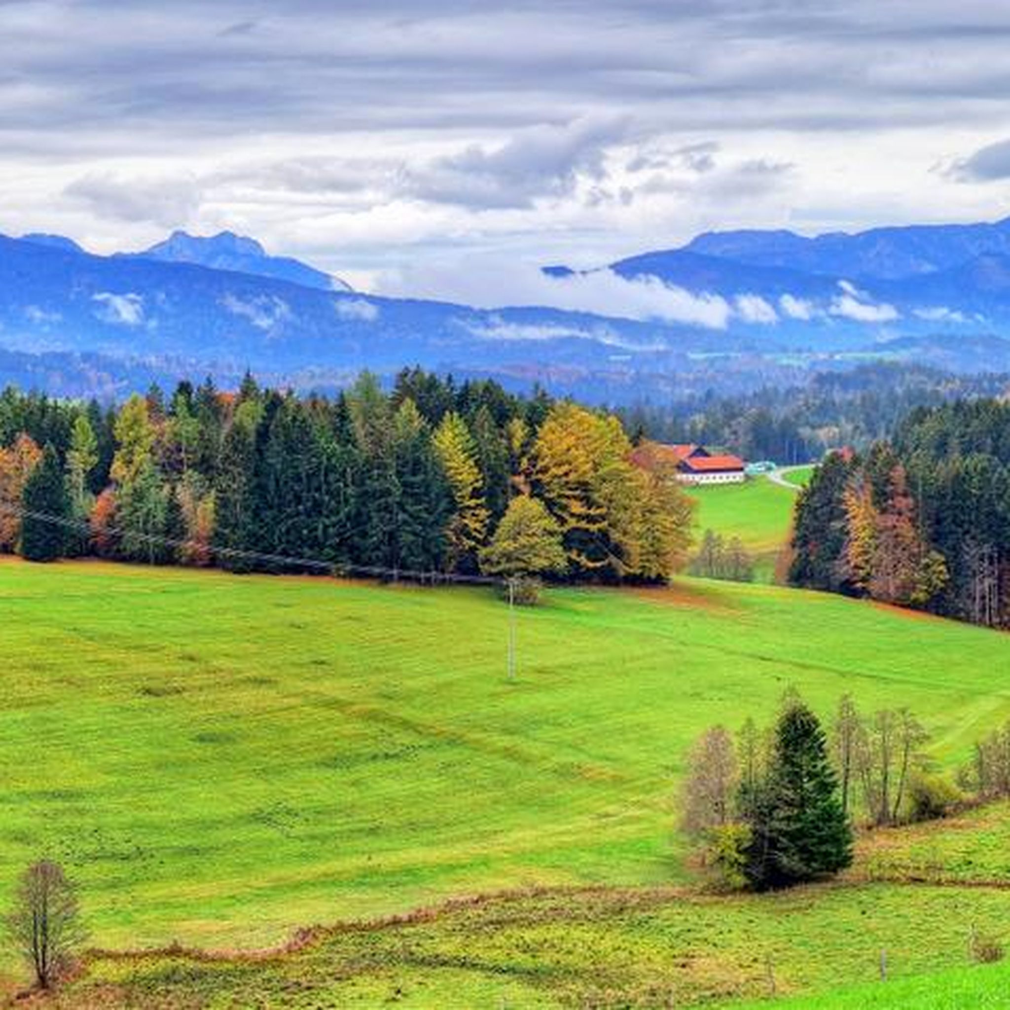
Dreamlike street in the Bavarian picture book landscape between Neukirchen am Teisenberg and Surbeg. Highest point is the Bichl Pass at 740 m.
1
0
Frequently Asked Questions
What are some of the notable mountain passes to explore around Surberg?
The region around Surberg offers several distinct mountain passes. You can experience the challenging Steep Ascent to Riedl Pass, known for its gradients up to 14%. For a scenic drive through a picturesque Bavarian landscape, the Bichl Pass (740 m) offers beautiful views. Another option is the Inzeller Höhe, which marks the end of a climb from Adlgass and provides options for further exploration towards Anger or mountain biking routes.
Are there any challenging mountain passes for experienced cyclists or hikers near Surberg?
Yes, the Steep Ascent to Riedl Pass is particularly challenging. It features ramps with gradients of 12% to 14%, especially when leaving the forest section. This pass is ideal for those looking for a demanding climb.
What kind of views can I expect from the mountain passes around Surberg?
The passes offer diverse scenic experiences. From the Bichl Pass (740 m), you can enjoy a beautiful vantage point over the Bavarian landscape. The View of Falkenstein highlight provides expansive vistas of the surrounding mountain range, including the Söldenberg and the broader valleys towards Scharnkopf and Gruberhörndl.
What is the best time of year to visit the mountain passes near Surberg?
While specific seasonal advice for Surberg's passes isn't detailed, generally, late spring through early autumn (May to October) offers the most favorable conditions for exploring mountain passes in Bavaria. During summer, be aware that sections like the Steep Ascent to Riedl Pass can be particularly strenuous due to direct sun exposure on hot days.
Are there family-friendly options or easier routes among the mountain passes?
While the passes themselves might involve climbs, the general area around Surberg and the Chiemgau mountains offers a variety of outdoor activities. For easier, family-friendly experiences, consider exploring the broader network of hiking and cycling trails in the region, which often include less strenuous sections suitable for all ages.
What outdoor activities can I combine with visiting these mountain passes?
The Surberg region is excellent for various outdoor pursuits. You can find numerous hiking trails, such as the 'Moorland Near Trenkmoos loop' or the 'Maria Tann Chapel loop'. For cyclists, there are traffic-free bike rides like the 'View of the Mountains – Lake Waging loop' or mountain biking routes like the 'View of the Chiemgau Alps – Stoisser Alm loop'. You can explore more options in the hiking guide or the traffic-free bike rides guide for Surberg.
Are there specific hiking trails near the mountain passes around Surberg?
Yes, the area offers a range of hiking opportunities. For instance, you can find trails like 'The Traun – Traunstein City Forest loop' or the 'Moorland Near Trenkmoos – Ettendorf Chapel loop' which are accessible from nearby Surberg. These trails provide diverse experiences from easy to moderate difficulty. For detailed routes, refer to the Hiking around Surberg guide.
What are the road conditions like on these mountain passes?
The passes around Surberg generally feature well-maintained roads. For example, the Bichl Pass (740 m) is described as a 'dreamlike street'. However, for routes like the Inzeller Höhe, while the main descent towards Anger is paved and good to drive, turning towards Fürmannalm leads to a mountain bike route with steep downhill sections and large stones, making it unsuitable for normal bikes.
Are there any historical or cultural landmarks near the mountain passes?
While the mountain passes themselves are primarily natural and engineering features, the broader region of Surberg and the Chiemgau mountains is rich in Bavarian culture and history. Exploring nearby towns and villages will reveal traditional architecture, local churches, and historical sites that reflect the region's heritage.
What kind of natural features can I observe around the mountain passes?
The region is characterized by its diverse natural beauty. You'll encounter lush forests, rolling hills, and scenic valleys. The Falkenstein area, for example, features a small, isolated mountain range with two peaks, streams flowing into lakes like Zwingsee and Krottensee, and a watershed between the Rote Traun and Saalach river catchment areas, showcasing varied hydrological and geological features.
Are there specific viewpoints to stop at along the mountain passes?
Yes, the Bichl Pass (740 m) is noted as a beautiful vantage point, perfect for taking a breather and enjoying the scenery. Additionally, the View of Falkenstein offers panoramic views of the surrounding mountain landscape.
Can I find accommodation or places to eat near the mountain passes in Surberg?
The Surberg region, being part of Bavaria, offers various accommodation options from guesthouses to hotels, as well as cafes and restaurants in nearby towns and villages. While specific amenities directly on the passes might be limited, you will find facilities within a short driving distance in places like Neukirchen am Teisenberg, Inzell, or Surberg itself.
Most popular routes around Surberg
Most popular attractions around Surberg

Get inspired with the komoot mobile app


Explore more
See even more epic mountain passes by checking out these guides around Surberg:
