Top 13 Bike Parks around Pfaffenhofen an der Roth
Best bike parks around Pfaffenhofen an der Roth are primarily characterized by natural mountain biking trails. The region offers a variety of routes suitable for mountain biking and e-biking, often found in areas like the Stadtwald. These trails feature natural terrain, including ascents, descents, roots, and flowy sections. While not home to large commercial bike parks with chairlifts, the area provides opportunities for exploring scenic natural environments.
Best bike parks around Pfaffenhofen an der Roth
- The most popular bike parks…
Last updated: October 11, 2026
Challenging Legoland Trail Exit
Highlight (Segment) • Trail
Translated by Google •
Tip by

Leipheim Forest Singletrail
Highlight • Trail
Translated by Google •
Tip by

Sign up now to discover places like this
Get recommendations on the best single tracks, peaks, & plenty of other exciting outdoor places.
Singletrack Leipheim–Echlishausen
Highlight (Segment) • MTB Park
Translated by Google •
Tip by
Skate and BMX Park at Sportpark Wiley
Highlight • MTB Park
Translated by Google •
Tip by

Günztrail Hagenweide Singletrack
Highlight (Segment) • MTB Park
Greetings Marcus
Translated by Google •
Tip by

Sign up for free to discover even more bike parks around Pfaffenhofen an der Roth.
Already have an account?
Start today with a free account
Your next adventure awaits.
Popular around Pfaffenhofen an der Roth
Tips from the Community

The levels of the singletrack scale: S0 - very easy: The easiest single trail type is characterized by slight to moderate gradients, non-slip surfaces and wide curves. There are no special riding technique requirements for mastering it. S1 - easy: Here you can expect smaller obstacles such as roots or stones. Partly unpaved ground and the curves are tighter, but without hairpin bends. The maximum gradient here is 40%. S2 - medium: The level of difficulty increases and larger stones and roots are to be expected. Rarely solid ground under the wheels and there are shallow steps or stairs. Tighter curves are also to be driven regularly and the steepness can be up to 70%. S3 - difficult: In this category you are already moving in blocked terrain with larger boulders or longer root passages. Switchbacks and diagonal rides occur and you often have to reckon with loose ground. There are regular gradients of 70%. S4 - very difficult: It gets steep and really blocked. Long, demanding root passages and large boulders have to be overcome and loose scree is the order of the day. Switchbacks and steep ramps place special demands on the riding technique and there are steps where the chain ring comes up. S5 - extremely difficult: The upper end of the scale is characterized by heavily blocked terrain, counter climbs, loose ground with scree, narrow hairpin bends and high obstacles such as fallen trees - including, of course, steep gradients. There is little braking distance and MTB riding technique is put to the test.
1
0
The levels of the single trail scale: S0 - very easy: The easiest type of trail is characterized by gentle to moderate gradients, non-slip surfaces and wide curves. There are no special demands on driving technique to overcome it. S1 - easy: Here you can expect smaller obstacles such as roots or stones. The ground is partly unconsolidated and the curves become narrower, but without hairpin bends. The maximum gradient here is 40%. S2 - medium: The level of difficulty increases and larger stones and roots are to be expected. Rarely solid ground under the wheels and there are shallow steps or stairs. Tighter curves must also be taken regularly and the steepness can be up to 70%. S3 - difficult: In this category you are already moving in blocked terrain with larger boulders or longer root passages. Switchbacks and diagonal turns occur and you often have to expect loose ground. There are regular gradients of 70%. S4 - very difficult: It gets steep and really blocked. Long, demanding root passages and large boulders have to be overcome and loose scree is the order of the day. Hairpin bends and steep ramps place special demands on your riding technique and there are steps where the chainring comes into contact. S5 - extremely heavy: The upper end of the scale is characterized by heavily blocked terrain, counter climbs, loose ground with scree, narrow hairpin bends and high obstacles such as fallen trees - including steep gradients, of course. There is little braking distance and the MTB riding technique is put to a tough test.
2
0
The levels of the singletrack scale: S0 - very easy: The easiest type of trail is characterized by gentle to moderate gradients, non-slip surfaces and wide curves. There are no special demands on driving technique to overcome it. S1 - easy: Here you can expect smaller obstacles such as roots or stones. The ground is partly unconsolidated and the curves become narrower, but without hairpin bends. The maximum gradient here is 40%. S2 - medium: The level of difficulty increases and larger stones and roots are to be expected. Rarely solid ground under the wheels and there are shallow steps or stairs. Tighter curves must also be taken regularly and the steepness can be up to 70%. S3 - difficult: In this category you are already moving in blocked terrain with larger boulders or longer root passages. Switchbacks and diagonal turns occur and you often have to expect loose ground. There are regular gradients of 70%. S4 - very difficult: It gets steep and really blocked. Long, demanding root passages and large boulders have to be overcome and loose scree is the order of the day. Hairpin bends and steep ramps place special demands on your riding technique and there are steps where the chainring comes into contact. S5 - extremely heavy: The upper end of the scale is characterized by heavily blocked terrain, counter climbs, loose ground with scree, narrow hairpin bends and high obstacles such as fallen trees - including, of course, steep gradients. There is little braking distance and the MTB riding technique is put to a tough test.
1
0
The levels of the singletrack scale: S0 - very easy: The easiest type of trail is characterized by gentle to moderate gradients, non-slip surfaces and wide curves. There are no special demands on driving technique to overcome it. S1 - easy: Here you can expect smaller obstacles such as roots or stones. The ground is partly unconsolidated and the curves become narrower, but without hairpin bends. The maximum gradient here is 40%. S2 - medium: The level of difficulty increases and larger stones and roots are to be expected. Rarely solid ground under the wheels and there are shallow steps or stairs. Tighter curves must also be taken regularly and the steepness can be up to 70%. S3 - difficult: In this category you are already moving in blocked terrain with larger boulders or longer root passages. Switchbacks and diagonal turns occur and you often have to expect loose ground. There are regular gradients of 70%. S4 - very difficult: It gets steep and really blocked. Long, demanding root passages and large boulders have to be overcome and loose scree is the order of the day. Hairpin bends and steep ramps place special demands on your riding technique and there are steps where the chainring comes into contact. S5 - extremely heavy: The upper end of the scale is characterized by heavily blocked terrain, counter climbs, loose ground with scree, narrow hairpin bends and high obstacles such as fallen trees - including steep gradients, of course. There is little braking distance and the MTB riding technique is put to a tough test.
1
0
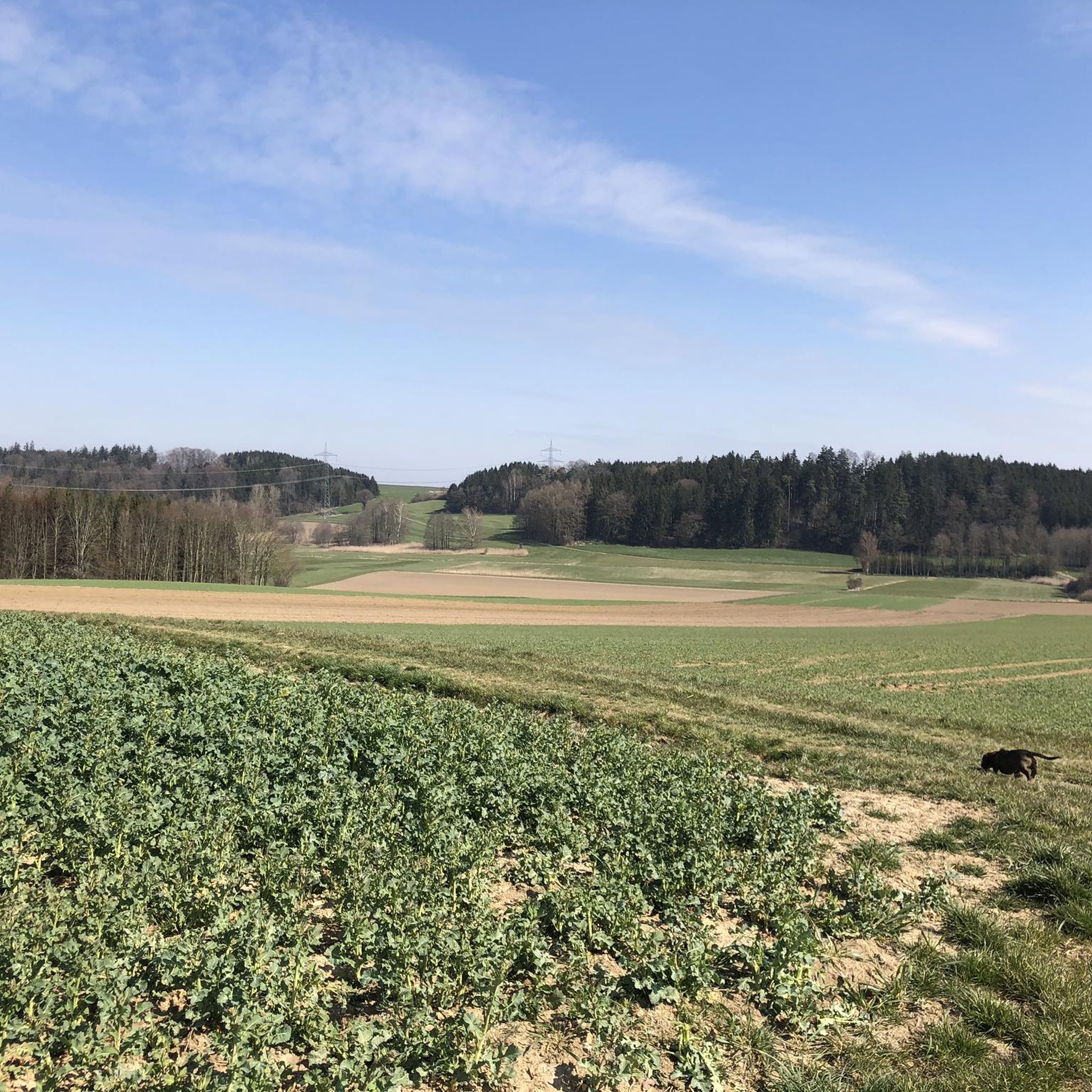
Trail for adventurers, a lot of fun, would classify the trail as S1. Greetings Marcus
1
0
very nice S1 trail, lots of fun. Greetings Marcus
1
0
Great S1 trail. It's a lot of fun to drive on
2
0
Adventurer Trail...have fun. I would say this is an S1 trail. Greetings Marcus
1
0
Frequently Asked Questions
What are some popular mountain biking trails in Pfaffenhofen an der Roth?
The region is known for its natural single trails. Popular options include Böfinger Halde Mountain Bike Trail, which features residents and jumps, and Singletrack Leipheim–Echlishausen, a winding trail through the forest. Other well-regarded natural trails include Mooser Sepp, Ridge Flow, Ridge Walk, and Wurzer I, offering a mix of jumps, roots, and flowy sections.
Are there any dedicated bike parks with manufactured features near Pfaffenhofen an der Roth?
While Pfaffenhofen an der Roth primarily offers natural mountain biking trails, a notable dedicated facility, the Hallertau Trails bike park, is located in Pfaffenhofen an der Ilm. This park features a main trail with red and blue lines, an beginner course, a drop battery, and a curve course for practicing turns. For a more urban-style park within Pfaffenhofen an der Roth, the Skate and BMX Park at Sportpark Wiley offers concrete tubs suitable for BMX and slopestyle, along with nearby natural features for mountain bikes.
What kind of terrain can I expect on the mountain bike trails in Pfaffenhofen an der Roth?
The trails in Pfaffenhofen an der Roth are characterized by natural terrain, often found in areas like the Stadtwald. You can expect a mix of ascents, descents, root sections, and flowy single tracks. Some trails, like Legoland Trail Exit Wooden Bridge, even feature small wooden bridges and can be a bit swampy in places, adding to the natural challenge.
Are there family-friendly mountain biking options in the area?
Yes, some trails offer sections suitable for various skill levels, including beginner-friendly routes. The natural trails in the Stadtwald are generally multi-use, allowing for a more relaxed experience. The Hallertau Trails in Pfaffenhofen an der Ilm also include an beginner course and a 'Märchenwald' (fairy tale forest) section designed to engage children on the uphill return.
What are some challenging trails for experienced riders?
For experienced riders seeking a challenge, the Böfinger Halde Mountain Bike Trail is equipped with residents and jumps, requiring a full-face helmet and protectors. Trails like Ridge Flow and Wurzer I are known for their root sections and smaller jumps, offering technical elements. The Singletrack Leipheim–Echlishausen also offers an engaging ride, sometimes along an abyss, which can be particularly challenging when wet.
When is the best time of year to go mountain biking in Pfaffenhofen an der Roth?
The natural trails are best enjoyed during drier periods to avoid muddy or swampy conditions, which can occur after rain. Spring and autumn generally offer pleasant temperatures and vibrant scenery, while summer can be good if the trails are well-shaded. Winter riding might be possible on some trails, but conditions would depend heavily on snow and ice.
Are there places to park near the mountain biking trails?
Parking availability varies by trail. For trails within the Stadtwald, there are often designated parking areas near forest entrances. For the Skate and BMX Park at Sportpark Wiley, parking is typically available at the Sportpark itself. Specific parking information for individual trailheads can often be found on komoot or local mountain biking forums.
What other outdoor activities can I combine with a mountain biking trip?
The region around Pfaffenhofen an der Roth offers a variety of outdoor activities. You can explore numerous road cycling routes, such as the 'Idyllic pond landscape – Stoffenrieder Pond loop from Pfaffenhofen an der Roth'. There are also many hiking opportunities, including the 'Lourdes Chapel – Marienfried Pilgrimage Chapel loop'. For more details on these activities, visit the Road Cycling Routes around Pfaffenhofen an der Roth guide or the Hiking around Pfaffenhofen an der Roth guide.
Are there hiking trails accessible from the bike park areas?
Yes, many of the natural trails, particularly in areas like the Stadtwald, are multi-use and shared with hikers and trail runners. This means you can often find hiking trails directly accessible from the same starting points as mountain bike routes. For dedicated hiking routes, refer to the Hiking around Pfaffenhofen an der Roth guide.
What do visitors particularly enjoy about the mountain biking experience here?
Visitors appreciate the natural character of the trails, with many enjoying the flowy sections, root challenges, and small jumps. The scenic environment, such as the forest settings of Leipheim Forest Singletrail, is also a significant draw. The community often highlights the fun and engaging nature of rides, even on trails that require careful navigation.
Can I find trails with scenic viewpoints in Pfaffenhofen an der Roth?
While specific viewpoints are not explicitly highlighted for every trail, the natural forest settings and varied terrain often provide picturesque moments. The Singletrack Leipheim–Echlishausen, for example, meanders through trees often along an abyss, offering unique perspectives of the landscape, including views towards the Danube.
Are there any specific trails known for jumps or technical features?
The Böfinger Halde Mountain Bike Trail is specifically known for its residents and jumps. Other natural trails like Mooser Sepp feature jumps over logs and small berms, while Ridge Flow includes a small kicker. Wurzer I also offers smaller jumps and rooty sections, providing technical challenges for riders.
Where can I find refreshments or accommodation near the trails?
The region around Pfaffenhofen an der Roth offers various options for refreshments and accommodation. While specific cafes or pubs are not directly adjacent to every trailhead, you can find establishments in the nearby towns and villages. For instance, the area around the Skate and BMX Park at Sportpark Wiley often has a pleasant, relaxed atmosphere with amenities nearby.
Most popular routes around Pfaffenhofen an der Roth
Most popular attractions around Pfaffenhofen an der Roth

Get inspired with the komoot mobile app


Explore more
Still looking for your perfect bike park? Check out our guides in these places:
