Top 20 Natural Monuments around Maitenbeth
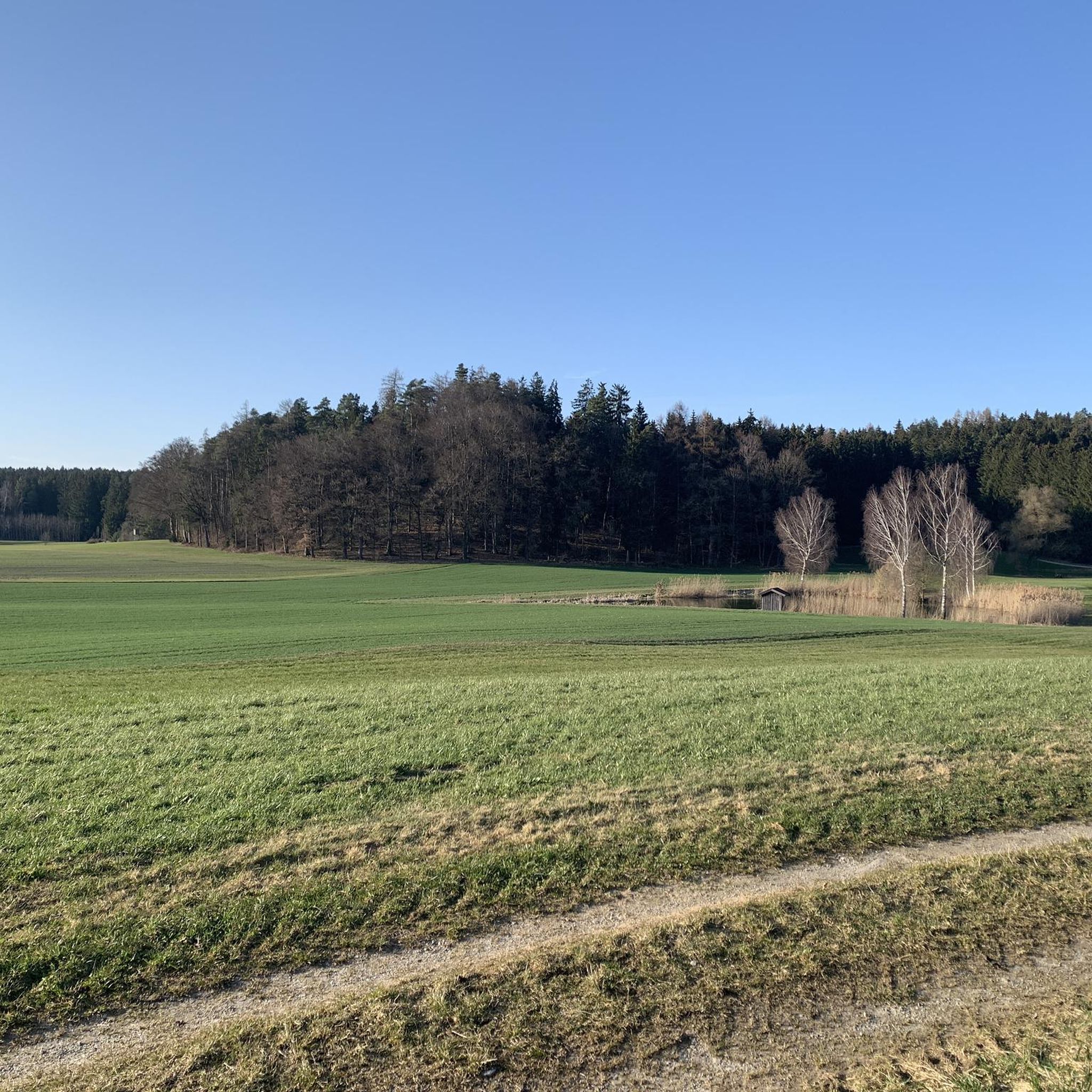
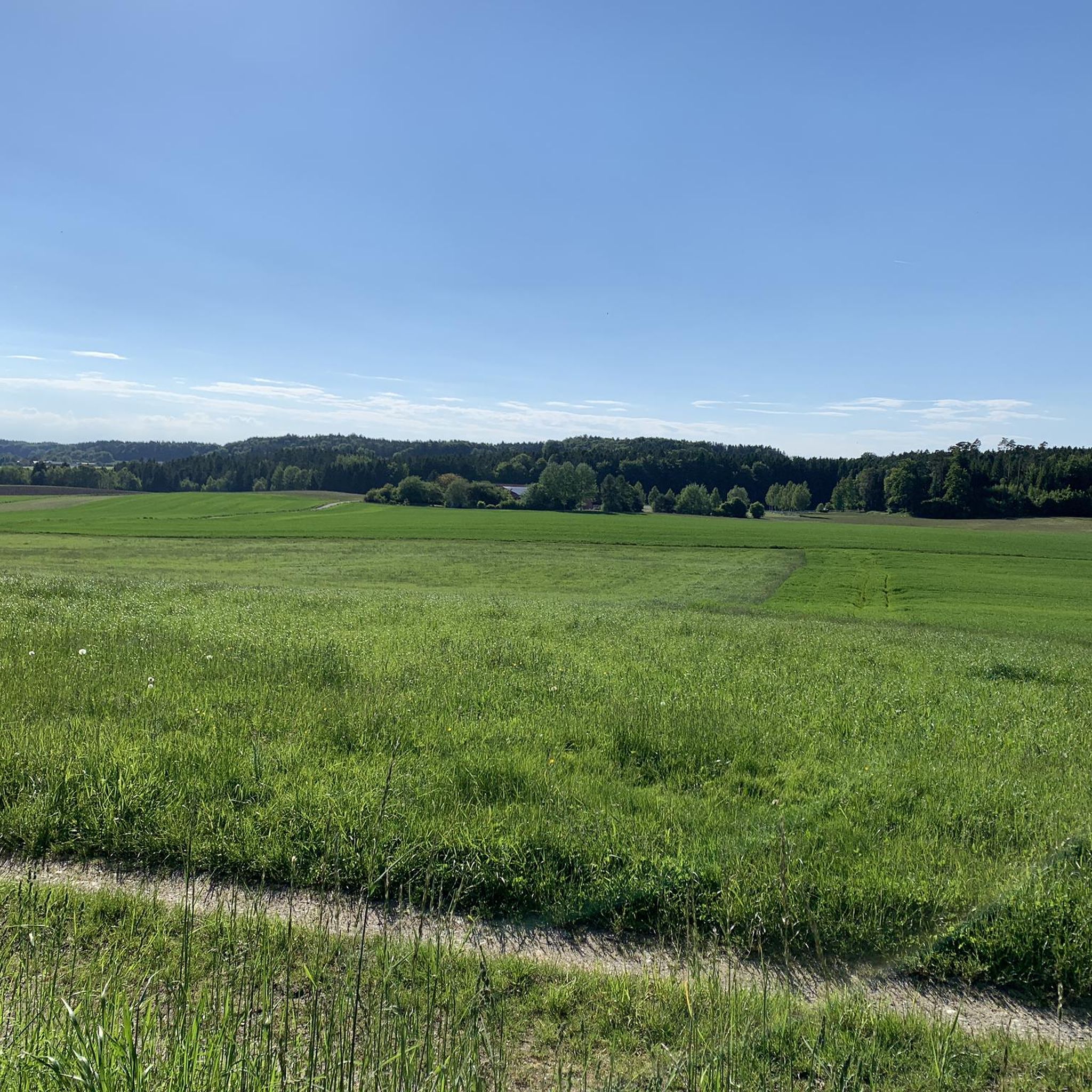
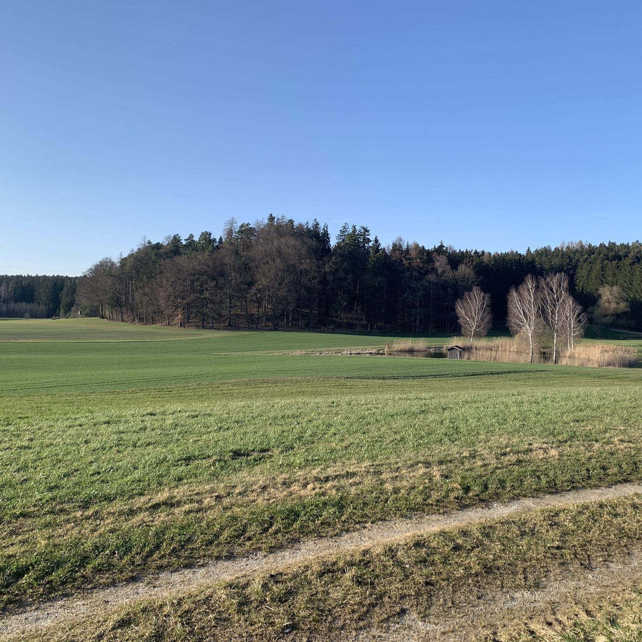
Best natural monuments around Maitenbeth are characterized by rolling hills, expansive forests, and idyllic lakes, making the region a destination for outdoor enthusiasts. The area offers a wealth of natural beauty and diverse landscapes. These significant natural features around Maitenbeth provide opportunities for hiking and other outdoor activities.
Best natural monuments around Maitenbeth
- The most popular natural monuments is Müllner Bründl Spring, a natural monument that offers a quiet place for a break and to fill water bottles. According…
Last updated: July 22, 2026
Egglburger See Bird Sanctuary
Highlight • Lake
Translated by Google •
Tip by

Müllner Bründl Spring
Highlight • Natural Monument
Translated by Google •
Tip by

Sign up now to discover places like this
Get recommendations on the best single tracks, peaks, & plenty of other exciting outdoor places.
Sign up for free
House of Peace and Bat Tower
Highlight • Religious Site
Translated by Google •
Tip by

Kettle hole
Highlight • Natural Monument
Blocks of ice that break away from the glacier tongue during melting and remain there are called dead ice.
Translated by Google •
Tip by

Historic Well in Ebersberger Forst
Highlight • Historical Site
At the moment, however, this is still very unspectacular. Construction fence around …
Translated by Google •
Tip by

Sign up for free to discover even more natural monuments around Maitenbeth.
Sign up for free
Already have an account?
Start today with a free account
Your next adventure awaits.
Login or Signup

Tips from the Community

New photos of the highlight
0
0
A new and interesting highlight is being created in the Ebersberg Forest
0
0
The roof of the medieval well is currently being rebuilt
0
0

A dead-ice basin is a dry, swampy, or water-filled depression formed by the melting of dead ice. Blocks of ice that break away from the glacier tongue during melting and remain there are called dead ice. Dead-ice basins in which a water-retaining layer has developed, or whose steep slopes sometimes extend below the groundwater level, are water-filled, swampy, or boggy. Their funnel shape allowed rain and meltwater to collect. These small bodies of water have experienced varying degrees of siltation and moor development, even within the same basin. The range of vegetation formations is very broad. It ranges from small reed beds to large sedge marshes, small sedge marshes, quaking grasslands, floating leaf and aquatic vegetation, transitional bogs, and even black alder swamps. Source: https://www.toteiskessel.de/uber-toteiskessel/was-ist-ein-toteiskessel/
0
0

The well is at least 600 years old (determined using the C14 method). It is still unclear who built it. The Ebersberg monastery, the dukes or a forester who lived in a so-called "forest hoof" are suspected. Research is ongoing and there are plans to open the well to the public as early as 2024 and it will even serve as a groundwater measuring point.
0
0

The Egglburger See is the largest lake in the district of Ebersberg in Upper Bavaria. The Egglburger See is 33 hectares in size and is located on the west side of the district town of Ebersberg directly (360 meters away) on the southern edge of the Ebersberg Forest, specifically the Eglhartinger Forest. The lake is 1100 meters long from northwest to southeast, up to 410 meters wide, and lies at an altitude of 553.0 meters. According to monastic records, an abbot Altmann had the Ebrach dammed around 1040, thereby creating Lake Egglburg. On the shores of the lake are the hamlets of Hinteregglburg and Egglsee, as well as the homestead of Ziegelhof. To the south of the lake there is a moss (moor and meadows), where the Moosbach, the largest tributary, begins. The little river Ebrach represents the outflow of Lake Egglburg in the southeast. Lake Egglburg is at the beginning of a chain of small ponds and lakes along the Ebrach. Since the lake is in a nature reserve, bathing is only permitted after August 1st. Due to the shallow depth of only about two meters and the large amount of mud and reeds, it is not very suitable as a bathing lake - on the other hand, it is an important breeding and resting place for e.g. T. rare birds. In recent years it has lost its importance as a nationally important breeding ground for black-headed gulls, mainly because of increasing silting up; the black-headed gull colony there was at times one of the largest in Bavaria. Source: https://de.wikipedia.org/wiki/Egglburger_See
3
0

After the location was published in the leisure magazine Ebersberger Forst, I drove here for a quick detour. At the moment, however, this is still very unspectacular. Construction fence around it and wooden panels on the ground. You can't see anything. I hope that will change. I'd love to take a look inside. By the way, this is not an oasis of calm either. The vehicles of the St2080 rush by just 20m away. So all in all little charm. Not a worthwhile goal at the moment. There are a number of reports on the subject on Merkur.de. Eg: https://www.merkur.de/lokales/ebersberg/brunnen-ebersberger-forst-loch-funde-Investigation-91649376.html
1
0

Beautiful, quiet lake with many water lilies, unfortunately you can't get close enough to the lake
2
0
Frequently Asked Questions
What natural features characterize the Maitenbeth region?
The Maitenbeth region is known for its picturesque natural surroundings, featuring rolling hills, expansive forests, and idyllic lakes and rivers. These diverse landscapes provide excellent opportunities for outdoor activities and offer a wealth of natural beauty.
What is the <a href="https://www.komoot.com/highlight/69859" target="_blank" rel="noopener">Müllner Bründl Spring</a>?
The Müllner Bründl Spring is a natural monument offering a quiet place for a break and to refill water bottles. According to local legend, the spring's water possesses healing properties, stemming from a miraculous event during the Battle of Hohenlinden in 1800.
What can I find at the <a href="https://www.komoot.com/highlight/685210" target="_blank" rel="noopener">House of Peace and Bat Tower</a>?
The House of Peace and Bat Tower is a unique site featuring a root house designed for reflection, where visitors can leave their concerns or wishes. Adjacent to it is a bat tower, a hollow tree trunk that can be entered when bats are not nesting, offering insight into local bat species.
What makes the <a href="https://www.komoot.com/highlight/190737" target="_blank" rel="noopener">Ebersberg Pond Chain</a> special?
The Ebersberg Pond Chain is a beautiful lake system, particularly stunning in the autumn when the changing leaves reflect in the water. It offers a wonderful hiking trail with scenic views and benches for resting, stretching from Schwabener Straße to Egglsee.
What is a <a href="https://www.komoot.com/highlight/7403201" target="_blank" rel="noopener">Kettle hole</a> and where can I find one?
A Kettle hole is a depression formed by melting 'dead ice' from glaciers, which can be dry, swampy, or water-filled. These unique geological features support a broad range of vegetation, from reed beds to black alder swamps. You can explore one in the forests around Maitenbeth.
Are there any historical natural monuments in the area?
Yes, you can visit the Historic Well in Ebersberger Forst. This well is at least 600 years old, with ongoing research into its origins. While currently undergoing reconstruction, there are plans to open it to the public and use it as a groundwater measuring point.
What outdoor activities can I do near these natural monuments?
The region around Maitenbeth is ideal for various outdoor activities. You can enjoy hiking on trails like the 'Alte Post (Old Post Office) Baierbach – St. Agatha Church Maitenbeth loop' or explore numerous road cycling and gravel biking routes. For more details on routes, visit the Hiking around Maitenbeth, Road Cycling Routes around Maitenbeth, and Gravel biking around Maitenbeth guides.
Are there family-friendly natural monuments around Maitenbeth?
Yes, several natural monuments are suitable for families. The Müllner Bründl Spring, House of Peace and Bat Tower, and Ebersberg Pond Chain are all categorized as family-friendly, offering accessible and engaging experiences for all ages.
What do visitors enjoy most about the natural monuments in Maitenbeth?
Visitors appreciate the tranquility and natural beauty of the area. Highlights like the Müllner Bründl Spring are praised for being quiet, peaceful places for a break. The Ebersberg Pond Chain is loved for its wonderful hiking trails and stunning autumn colors. The community has collectively upvoted these sites 277 times and shared 185 photos, reflecting diverse and positive experiences.
What is the best time to visit the natural monuments around Maitenbeth?
The natural monuments around Maitenbeth can be enjoyed year-round, but certain times offer unique beauty. Autumn is particularly recommended for visiting the Ebersberg Pond Chain, as the leaves change color and reflect beautifully in the water. Spring and summer are ideal for hiking and cycling through the forests and hills.
Where can I find panoramic views of the Maitenbeth region?
For breathtaking panoramic views of the entire Bavarian landscape, including Maitenbeth, the summit of the nearby Wendelstein mountain is highly recommended. While not directly in Maitenbeth, it offers a stunning vista and is considered to provide the most beautiful view of the village and its surroundings.
Are there opportunities for long-distance cycling in the area?
Yes, the region's bike paths connect to the larger Haager Land bike path, expanding cycling possibilities significantly. This allows for longer rides through the rolling hills and forests, offering scenic views that can sometimes evoke the feeling of cycling in the Alps.
Most popular routes around Maitenbeth
Most popular attractions around Maitenbeth

Get inspired with the komoot mobile app


Explore more
Extend your search for the best caves by checking out these guides of the top ones around Maitenbeth:
