Top 6 Mountain Passes around Heitersheim
Best mountain passes around Heitersheim serve as gateways to the elevated areas and scenic routes of the Southern Black Forest. Heitersheim, situated at 254 meters above sea level, provides access to diverse landscapes. The region offers panoramic views and varied terrain for outdoor activities. These natural features define the character of the Heitersheim area.
Best mountain passes around Heitersheim
- The most popular mountain pass is Climb to Haldenhof/Kreuzweg Pass from Münstertal, a mountain pass that features a sharp climb…
Last updated: July 8, 2026
Climb to Haldenhof/Kreuzweg Pass from Münstertal
Highlight (Segment) • Mountain Pass
Translated by Google •
Tip by

Badenweiler – Sirnitz Pass
Highlight (Segment) • Mountain Pass
Translated by Google •
Tip by

Sign up now to discover places like this
Get recommendations on the best single tracks, peaks, & plenty of other exciting outdoor places.
Sign up for free
Blauen Pass
Highlight • Mountain Pass
Translated by Google •
Tip by
Kienberg Pass in the Berghauser Matten Nature Reserve
Highlight (Segment) • Mountain Pass
Translated by Google •
Tip by

View of Münsterhalden Valley
Highlight (Segment) • Viewpoint
Translated by Google •
Tip by
Sign up for free to discover even more mountain passes around Heitersheim.
Sign up for free
Already have an account?
Start today with a free account
Your next adventure awaits.
Login or Signup
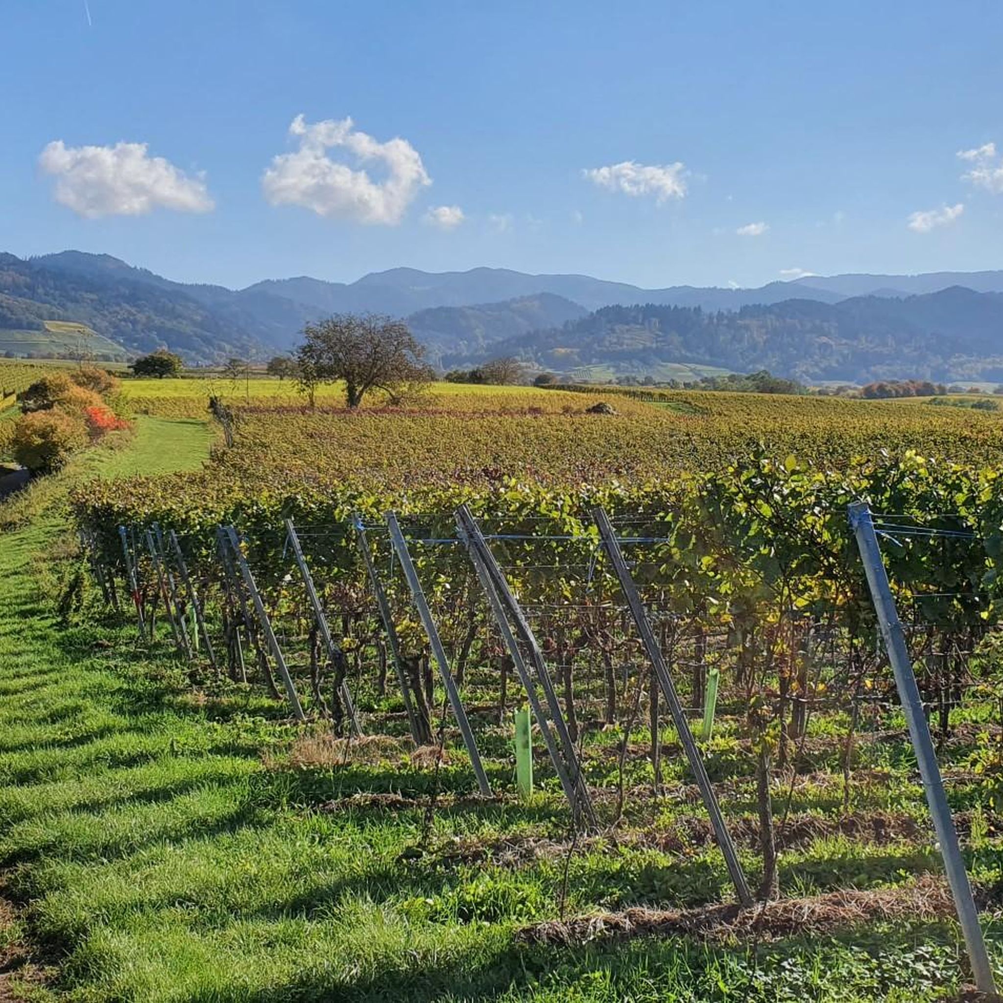
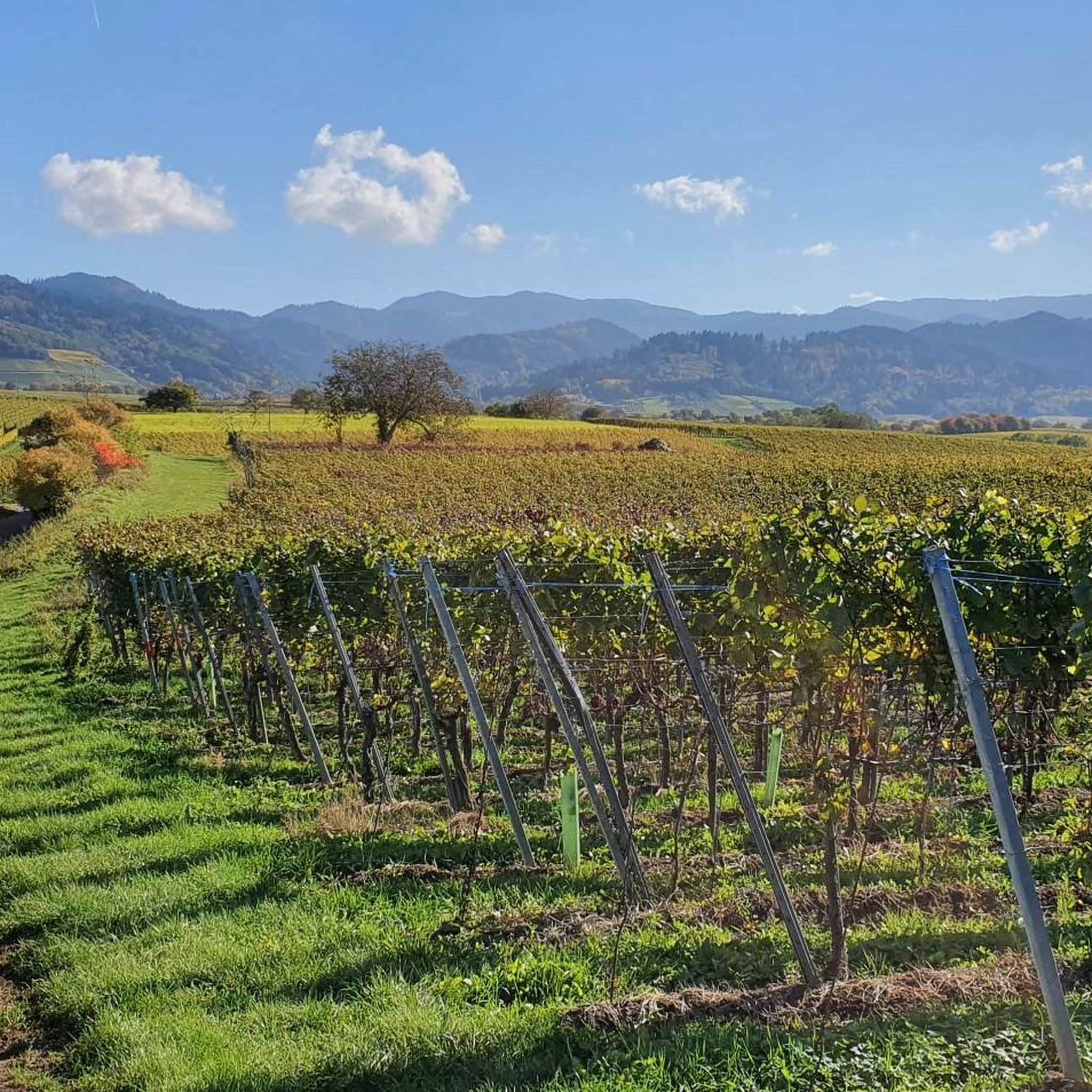
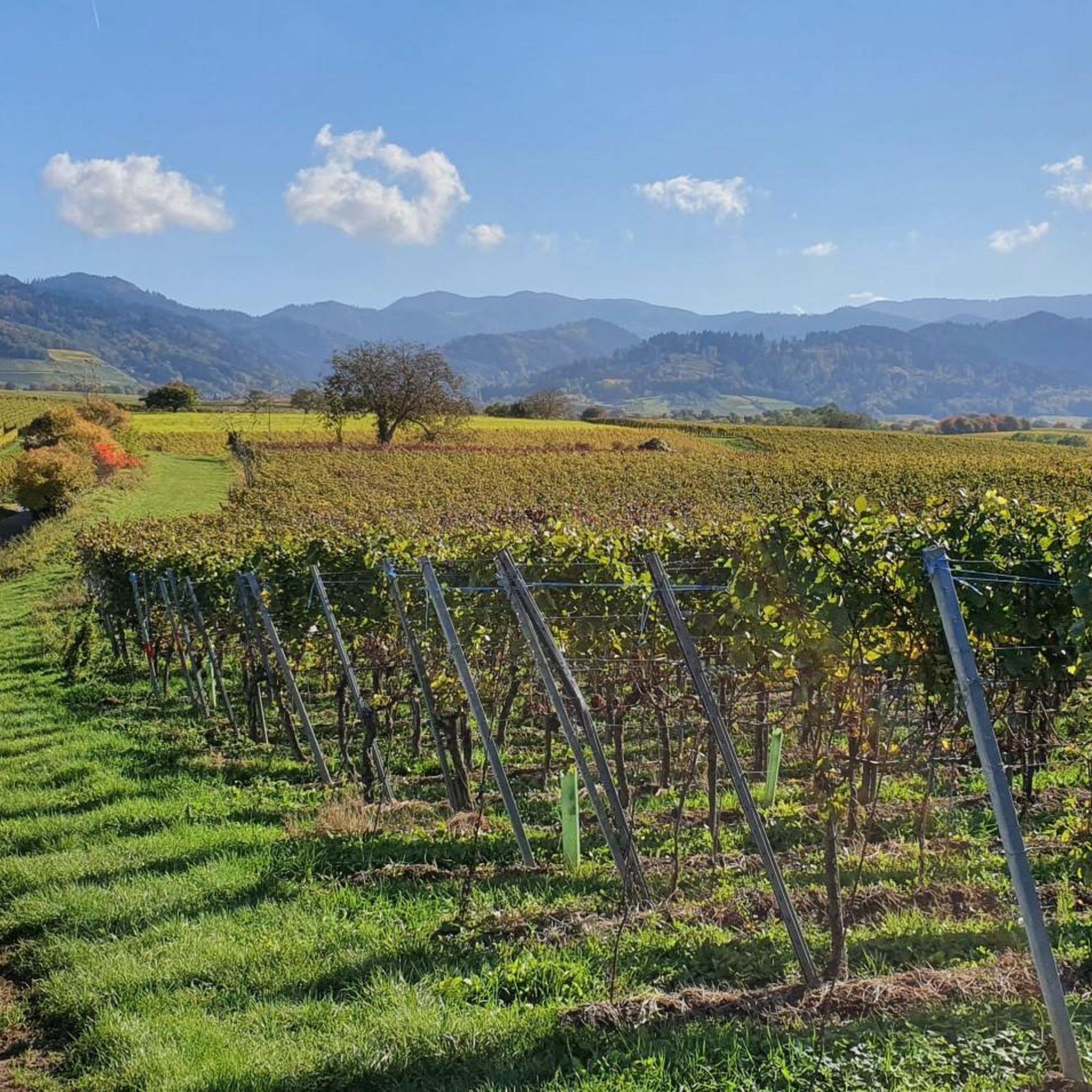
Tips from the Community

Beautiful view - great scenery
0
1

Also 3/24 still holey asphalt. Better up the mountain and via Utzenfeld - Wiedener Eck back to the Münstertal.
2
0

This section has finally been repaved (July 2023), so you can ride down it on a racing bike – to the first farm on the right – without having to stress about finding usable gaps between the potholes. The fact that this was actually completed in our country within four weeks as announced thanks to the full road closure gives us hope again 🙂. Bravo and thanks to the planners and road builders! This is also good for the uphill section, of course, but it's less important. The next section is supposedly scheduled to be resurfaced in 2024. We'll see.
2
0

From Bad Krozingen up via the Münstertal, then the dilapidated road surface is no problem and then back via Badenweiler. Nice evening tour with very little traffic. Departure to Badenweiler is very good
3
0

I like to use this route from Tegernau as well as from the Münstertal. From Münstertal via Kälbelescheuer an ideal connection to Säckingen and above to Switzerland, short and sometimes crisp. From Tegernau, because you usually already have a few kilometers in your legs, because it's rather easy going uphill. It only gets steeper from Neuenweg. But on no section against 10%. As the person who wrote it before me indicated, the downhill run from Kälbelescheuer is in very poor condition. You have to be careful not to drive into the countless holes and sometimes deep grooves. But I have to say quite clearly: It is passable. Just keep your fingers on the brake.
1
1

I drove from Tegrnau in the direction of Münstertal, with the incline, which is not really worth mentioning, only leading up to the Haldenhof from Neuenweg on a scenic route. On the other hand, from a sporting point of view, it should certainly be somewhat more demanding.
0
1

Nice panorama, not too steep but the surface could be better for the descent! But it should possibly be renewed in 2022/23...
1
0

Pass crossing from Badenweiler to Kandertal. Currently (04/2021) it is better to choose the north side as the driveway, the asphalt has a pretty vintage character ...
1
0
Frequently Asked Questions
Which mountain passes around Heitersheim offer the most scenic views?
For breathtaking panoramic views, consider visiting Blauen Pass, which offers vistas from an altitude of 936 meters. The nearby Hochblauen summit, accessible from the pass, provides expansive views across the Black Forest, Rhine Valley, Vosges, and even the Swiss Alps on clear days. Another excellent option is Kienberg Pass in the Berghauser Matten Nature Reserve, known for its views past meadow slopes within a protected area. Additionally, the View of Münsterhalden Valley offers spectacular, almost alpine scenery.
Are there family-friendly mountain passes or routes near Heitersheim?
Yes, the Lägersattel is categorized as family-friendly, offering an easy and enjoyable experience at 410 meters above sea level within a forest setting. For broader family activities, Schauinsland, though a bit further, offers Germany's longest cable car, making it accessible for all ages, along with various trails and a mining museum.
What kind of outdoor activities can I do near the mountain passes around Heitersheim?
The region around Heitersheim and its mountain passes is ideal for various outdoor activities. You can find numerous hiking trails, ranging from easy to challenging, as well as routes for gravel biking. For example, you can explore easy hikes around Heitersheim or more general hiking routes. There are also gravel biking routes that take you through scenic landscapes.
When is the best time to visit the mountain passes around Heitersheim?
The mountain passes and elevated areas around Heitersheim are beautiful year-round. Spring and autumn offer pleasant temperatures for hiking and cycling, with vibrant foliage in the fall. Summer is ideal for enjoying the panoramic views and outdoor dining at mountain inns like Kälbelescheuer. In winter, higher elevations like Schauinsland transform into hubs for skiing, snowboarding, and tobogganing, offering a different kind of experience.
What natural features can I expect to see when visiting these mountain passes?
You'll encounter diverse natural features, including dense mixed forests, especially around Hochblauen, which is a designated landscape protection area. The Kienberg Pass is situated within the Berghauser Matten Nature Reserve, featuring beautiful meadow slopes. The Climb to Haldenhof/Kreuzweg Pass offers an alpine-looking valley. The region is characterized by its elevated positions, providing expansive views over the Rhine plain and the Black Forest.
Are there any mountain inns or refreshment stops available at these passes?
Yes, several mountain inns offer refreshments and sometimes accommodation. The Berghaus Hochblauen is located at the summit of Hochblauen, providing food and overnight stays. The Berggasthaus Kälbelescheuer is a popular spot with a rustic dining room and sun terrace, known for good food and drinks, including coffee and cake. These are perfect for a stop during your outing.
How challenging are the ascents to the mountain passes near Heitersheim?
The challenge varies. The Climb to Haldenhof/Kreuzweg Pass from Münstertal features a sharp climb, bringing you close to the 1,000-meter mark. Blauen Pass offers a steep ascent from Badenweiler but a more moderate route from Kandern. In contrast, the Kienberg Pass is described as an easy-to-drive road.
What historical insights can I gain from visiting the mountain areas around Heitersheim?
While the passes themselves are primarily natural features, the broader mountain region offers historical context. Schauinsland, for instance, has a rich mining history, with the Schauinsland Mining Museum providing insights into 700 years of silver mining. The observation tower on Hochblauen, first inaugurated in 1895, also speaks to the region's past interest in panoramic viewing.
What do visitors enjoy most about the mountain passes around Heitersheim?
Visitors highly appreciate the stunning panoramic views, especially from locations like Hochblauen and Schauinsland, which extend to the Alps on clear days. The diverse range of trails for hiking and cycling, the accessibility of some passes, and the opportunity to enjoy local food and drinks at mountain inns like Kälbelescheuer are also frequently highlighted. The komoot community has given the mountain passes around Heitersheim 293 upvotes and shared 74 photos, indicating their popularity.
Is there public transport available to reach any of the mountain destinations?
While direct public transport to all passes might be limited, Schauinsland is notably accessible via "Germany's longest cable car," the Schauinslandbahn. This cable car spans 3.6 km and overcomes a significant height difference, making the summit easily reachable for visitors without a car.
Are there any specific tips for cycling or driving the mountain passes?
For cyclists, be aware that some roads, like the lower part of the Climb to Haldenhof/Kreuzweg Pass, can be in poor condition, requiring caution on descents. The north side of Blauen Pass is currently (as of 04/2021) recommended for ascents due to asphalt conditions. The Kienberg Pass is generally an easy-to-drive road with not too much traffic.
Most popular routes around Heitersheim
Most popular attractions around Heitersheim

Get inspired with the komoot mobile app


Explore more
See even more epic mountain passes by checking out these guides around Heitersheim:
