The best walks and hikes around Lehrte
4.5
(887)
4,369
hikers
455
hikes
Hiking trails around Lehrte offer a diverse range of landscapes, from canal-side paths to extensive forest areas and nearby heathlands. The region is characterized by its flat to gently rolling terrain, with minimal elevation changes, making it accessible for various activity levels. Notable features include the Mittelland Canal, providing scenic water views, and the Hämeler Wald, a significant forested area. The proximity to the Lüneburg Heath Nature Park also adds varied natural environments for exploration.
Best hiking trails around Lehrte
…Last updated: August 8, 2026
4.7
(61)
181
hikers
5.88km
01:30
10m
10m
Easy hike. Great for any fitness level. Easily-accessible paths. Suitable for all skill levels.
4.7
(10)
42
hikers
20.9km
05:17
40m
40m
Hard hike. Very good fitness required. Easily-accessible paths. Suitable for all skill levels.

Sign up for free
4.7
(28)
73
hikers
Moderate hike. Good fitness required. Easily-accessible paths. Suitable for all skill levels.
4.7
(62)
184
hikers
Easy hike. Great for any fitness level. Easily-accessible paths. Suitable for all skill levels.
4.8
(25)
76
hikers
Moderate hike. Good fitness required. Easily-accessible paths. Suitable for all skill levels.
Get access to more routes and recommendations from other explorers.
Sign up for free
Already have an account?
Our route recommendations are based on thousands of hikes, rides, and runs completed by other people on komoot.
Start today with a free account
Your next adventure awaits.
Login or Signup

Tips from the Community

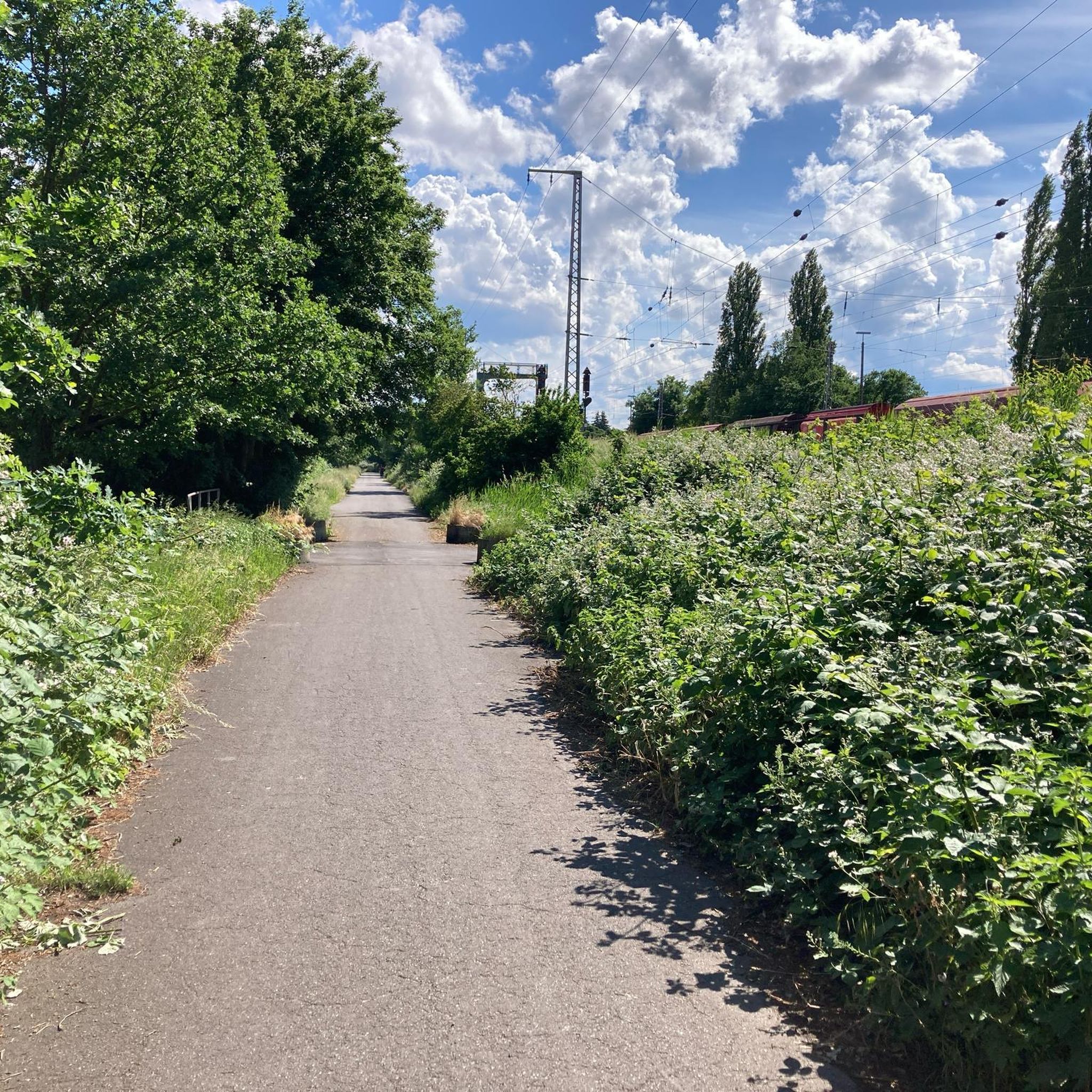
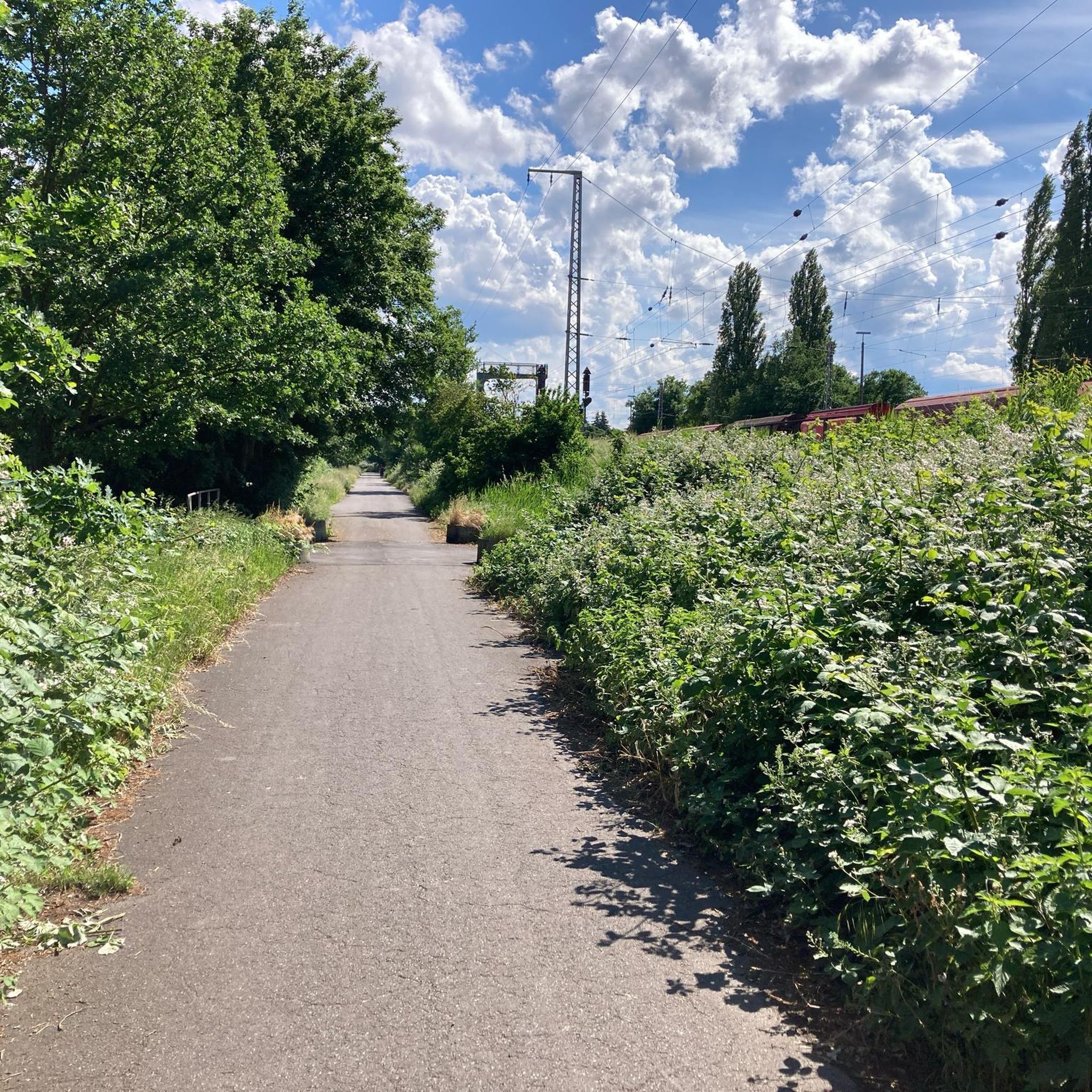
Since 2022, the railway crossing at the southern end of Burgdorfer Stattpart can no longer be used, as a lightning strike has affected the technical system. My usual routes also frequently led across the tracks here, but at the latest after a friendly employee of a research team, which was observing rail traffic at this point, informed me about possible legal consequences if caught disregarding the prohibition signs, the crossing of the tracks at this point is no longer found in my route records. Despite the now reinforced barriers, it can be observed and seen from the tracks that passers-by continue to walk across the tracks. With a heavy heart, I now use the somewhat distant railway crossing at Ahrbeck: komoot.com/de-de/highlight/8254248?ref=whd Anyone who now wonders why Ahrbeck is also mentioned as a location in the following articles in relation to the crossing at the position of this highlight is doing so with me, because the path from the railway line towards the B443 merges into Lehrter Straße before the town sign and should therefore rather be attributed to Burgdorf than to Ahrbeck, which strictly speaking is not even its own district and actually belongs to Heeßel… 😉 Below are the articles that show that I will probably not have to adjust the highlight too quickly, if perhaps a tunnel replaces the barriers: burgdorf.de/portal/pressemitteilungen/burgdorf-braucht-eine-loesung-fuer-den-bahnuebergang-in-ahrbeck-902009690-20500.html burgdorf.news/2025/10/23/tunnel-soll-fuer-gesperrten-ahrbecker-bahnuebergang-die-loesung-sein altkreisblitz.de/2025/08/20/pollehn-burgdorf-braucht-eine-loesung-fuer-den-bahnuebergang-in-ahrbeck haz.de/lokales/umland/burgdorf/burgdorf-anwohner-in-ahrbeck-aergern-sich-ueber-geschlossenen-bahnuebergang-zum-stadtpark-OQMHY24CCRFXTF7ZKMS7FDWZHI.html
0
0
The position of the bench and the stone sculpture are so far apart that they would be worth two separate highlights. Has Komoot's AI perhaps done its nefarious work in 'mixing' highlights?
0
0
The animals are quite tame and also taste good, as I can confirm... 😉
0
0
Near the intersection of Paradiesweg and Dorfstraße Steinwedel, in the middle of the field, stands a tall wooden post with a stork's nest on top. For many years, a pair of storks has nested there, usually raising several young until they are able to fly and then fly south together to overwinter. The meadow around the stork's nest, where cows and goats graze, seems moist enough for the stork family to find food right outside their 'front door'.
0
0
I have actually ridden this path behind the gate with my MTB before, but I would only recommend trying it in spring and late autumn/winter...
0
0
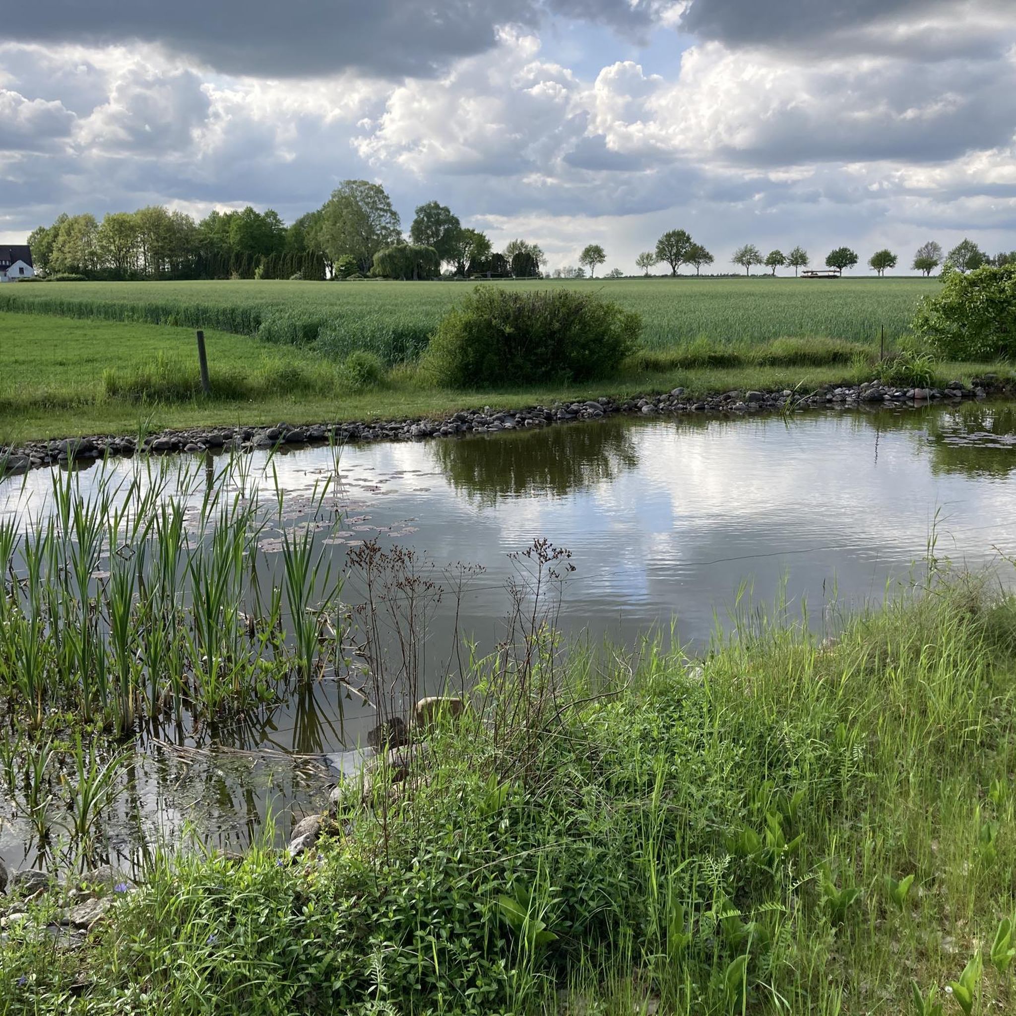
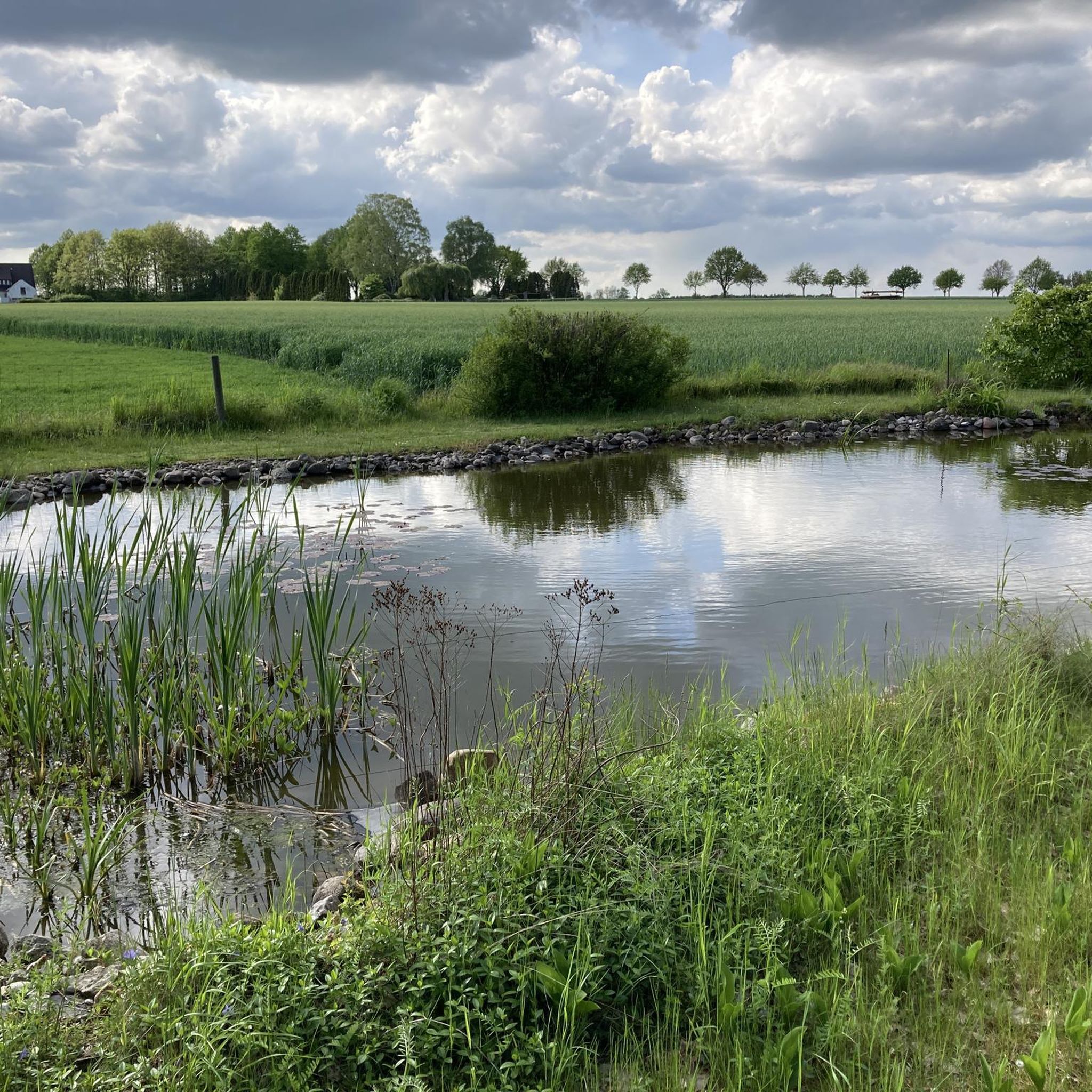
It's worth stopping once and letting your gaze wander...
0
0
Unfortunately, the artwork repeatedly falls victim to vandalism… 🙄
0
0
Frequently Asked Questions
What kind of hiking trails can I find around Lehrte?
Lehrte offers a diverse range of hiking trails, from scenic canal-side paths along the Mittelland Canal to extensive forested areas like the Hämeler Wald, and even open landscapes near the Lüneburg Heath. The terrain is generally flat to gently rolling, making it accessible for various activity levels.
How many hiking routes are available in the Lehrte region?
There are over 390 hiking routes available around Lehrte. These include a wide variety of options, with more than 270 easy trails, 119 moderate routes, and a few more challenging treks for experienced hikers.
Are there any circular hiking routes in Lehrte?
Yes, many of the trails around Lehrte are circular, offering convenient loop options. For example, the Kohlshorn Gravel Ponds – Kolshorner Pond loop from Kolshorn is an easy 6 km circular route, and the Lake View in Region Hannover – Orchard near Adolphshof loop from Gut Adolphshof offers a moderate 8.2 km loop with lake views.
What are the best times of year to go hiking in Lehrte?
Spring and autumn are generally considered the best seasons for hiking in Lehrte. In spring, you'll experience mild temperatures and blooming nature, while autumn offers stunning displays of changing leaf colors, creating a beautiful backdrop for your walks.
Are there family-friendly hiking options in Lehrte?
Absolutely. Lehrte's generally flat to gently rolling terrain makes many trails suitable for families. The numerous parks and green spaces, as well as paths along the Mittelland Canal, are great for leisurely strolls with children. The Fairy and Elf House Tree Stump – Forstinteressenschaft Cabin loop from Hämelerwald is an easy 7.5 km trail through the Hämeler Wald that families often enjoy.
Can I bring my dog on the hiking trails in Lehrte?
Many trails in Lehrte are dog-friendly, especially those through natural areas like the Hämeler Wald or along the Mittelland Canal. It's always advisable to keep your dog on a leash, especially in nature reserves or areas with wildlife, and to check local regulations for specific routes.
What natural features or landmarks can I expect to see on a hike?
Hikers in Lehrte can enjoy diverse natural features. The Mittelland Canal offers scenic water views, while the Hämeler Wald provides a natural forested environment. You might also encounter the charming Annateich or the Beerbusch Shelter. The nearby Lüneburg Heath Nature Park is known for its vast heath fields that bloom beautifully in summer.
Are there any challenging hikes for experienced trekkers?
While many trails are easy to moderate, Lehrte does offer some more challenging options. For instance, the Oldhorst Moor – Kolshorner Pond loop from Kolshorn is a difficult 20.9 km route that provides a longer and more demanding experience for seasoned hikers.
What do other hikers say about the trails in Lehrte?
The hiking routes in Lehrte are highly rated by the komoot community, with an average score of 4.5 stars from over 700 reviews. Hikers often praise the varied terrain, from quiet woodlands to open landscapes, and the well-maintained paths that make exploration enjoyable.
Are there places to eat or stay near the hiking trails?
Lehrte and its surrounding villages offer various options for refreshments and accommodation. You can find cafes and pubs in the towns, and there are also shelters like the Beerbusch Shelter or the Grafhorn Friends of Nature House along some routes, providing convenient spots for a break.
Is public transport available to access hiking areas in Lehrte?
Lehrte is well-connected within the Hanover region, and public transport options are available to reach various starting points for hikes. It's recommended to check local bus and train schedules to plan your access to specific trailheads.
Where can I find parking for hiking trails in Lehrte?
Parking is generally available at common starting points for hiking trails in and around Lehrte, especially near popular recreational areas and villages. Specific parking information can often be found on individual route descriptions on komoot.
Most popular routes around Lehrte
Most popular attractions around Lehrte

Get inspired with the komoot mobile app


Explore more
Browse the best Hikes in other regions.
