Top 4 Mountain Passes around Oberderdingen
Best mountain passes around Oberderdingen are characterized by the region's undulating landscape of rolling hills and vineyards, situated within the Kraichgau area. Oberderdingen's average elevation is around 190 to 225 meters, with a maximum elevation reaching about 406 meters. This topography features hill passes and climbs rather than the high-altitude mountain passes found in more mountainous German regions. The area offers scenic routes suitable for cycling and hiking through its natural surroundings.
Best mountain passes around Oberderdingen
- The most popular…
Last updated: August 4, 2026
Bannhalde Hill Pass
Highlight • Mountain Pass
Translated by Google •
Tip by

Hohenhaslach–Güglingen Climb
Highlight (Segment) • Climb
Translated by Google •
Tip by

Sign up now to discover places like this
Get recommendations on the best single tracks, peaks, & plenty of other exciting outdoor places.
Sign up for free
Lerchenbühlhof Hill Pass
Highlight • Mountain Pass
Take a selfie of yourself, your fellow cyclists, and the pass sign. Then upload it to the …
Translated by Google •
Tip by

Zaberfelder Steige Hill Pass
Highlight • Mountain Pass
Translated by Google •
Tip by
Hill Pass "Zaberfelder Steige"
Highlight • Mountain Pass
Translated by Google •
Tip by
Start today with a free account
Your next adventure awaits.
Login or Signup
Popular around Oberderdingen
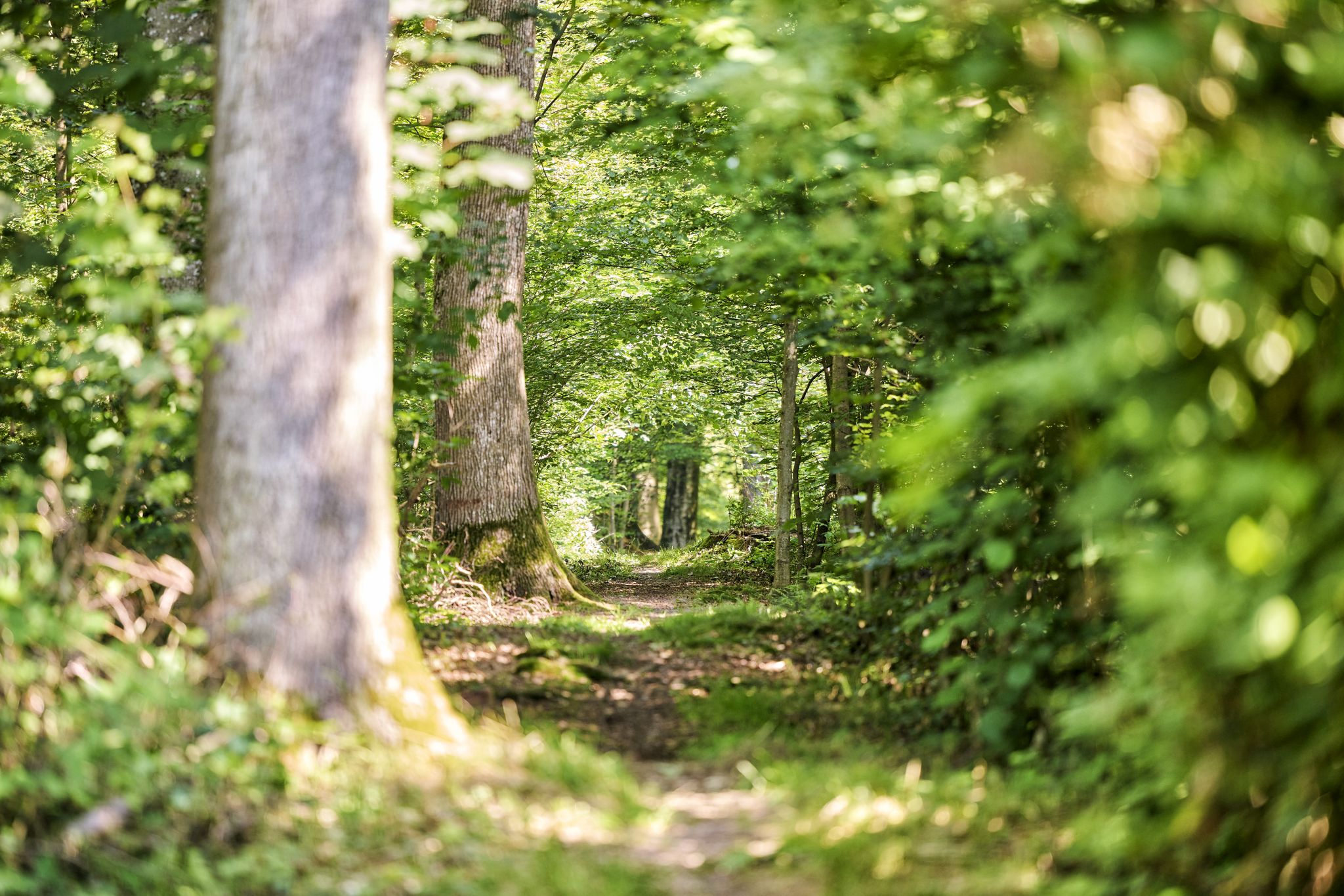
Trail running between woodlands & wine in the Land of 1000 Hills
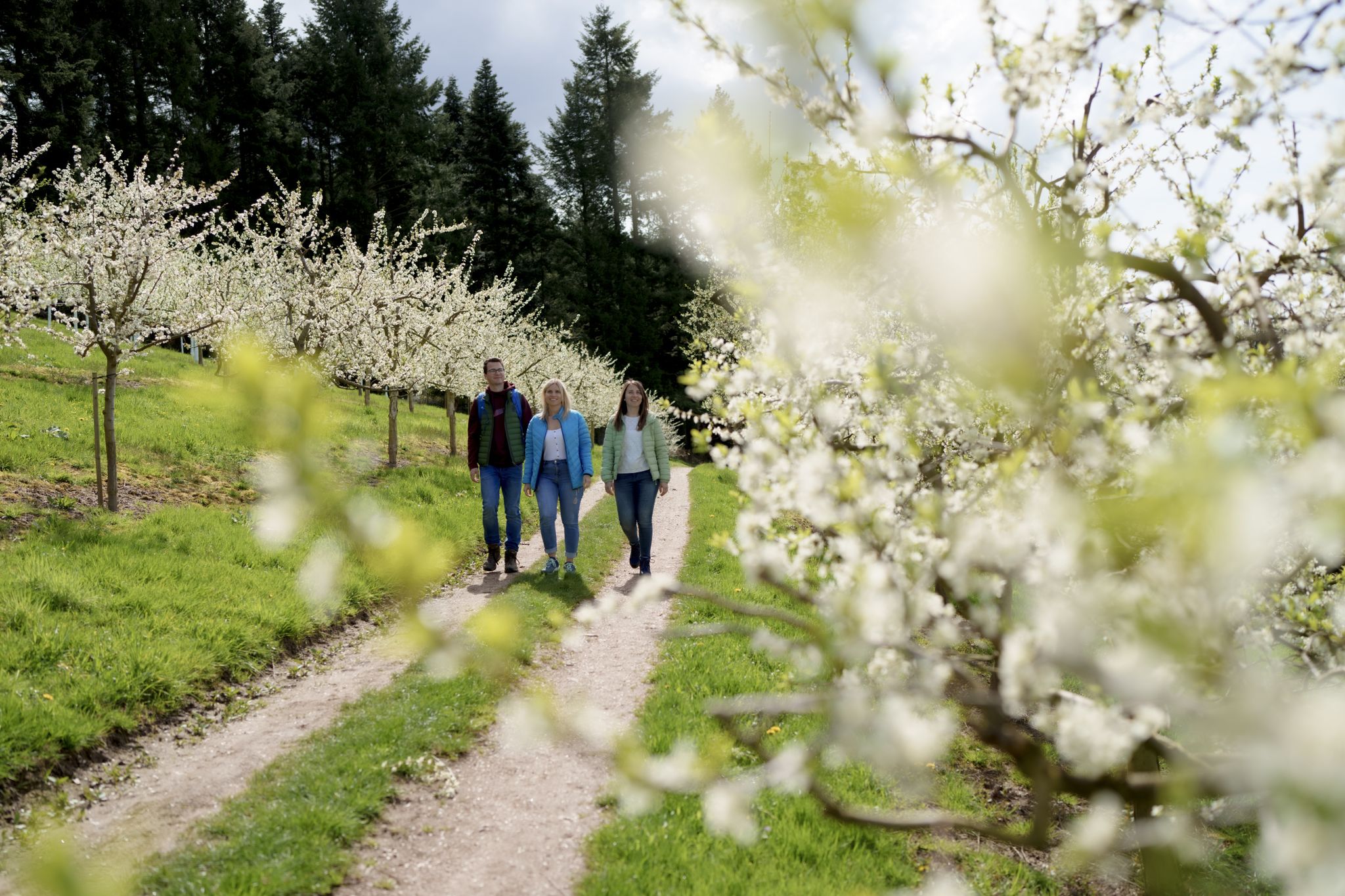
Hiking between Baden's vineyards, wildflowers & green lizards
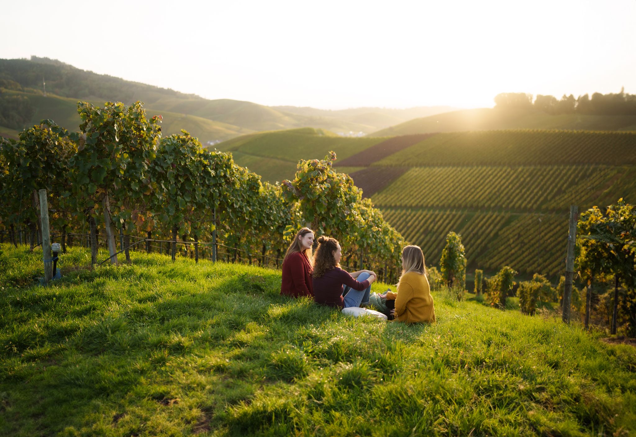
Picnics, wine and wide views – along the Baden Wine Route

Oases of calm – hill sofas in the land of 1,000 hills
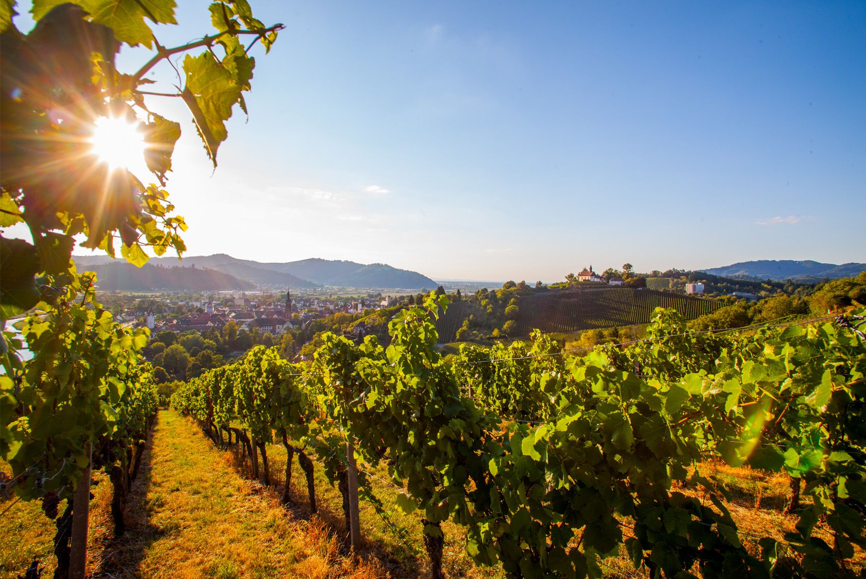
Right the Black Forest, left the Rhine – the Baden Wine Cycle Route
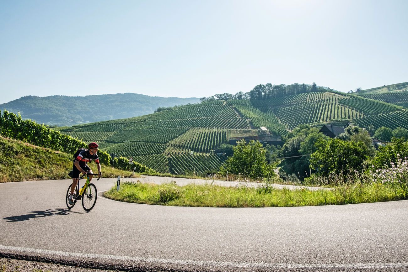
Von Heidelberg nach Basel: Vier Tage mit TOUR auf dem Badischen Weinradweg

Spring in the land of 1,000 hills – Kraichgau-Stromberg in Germany
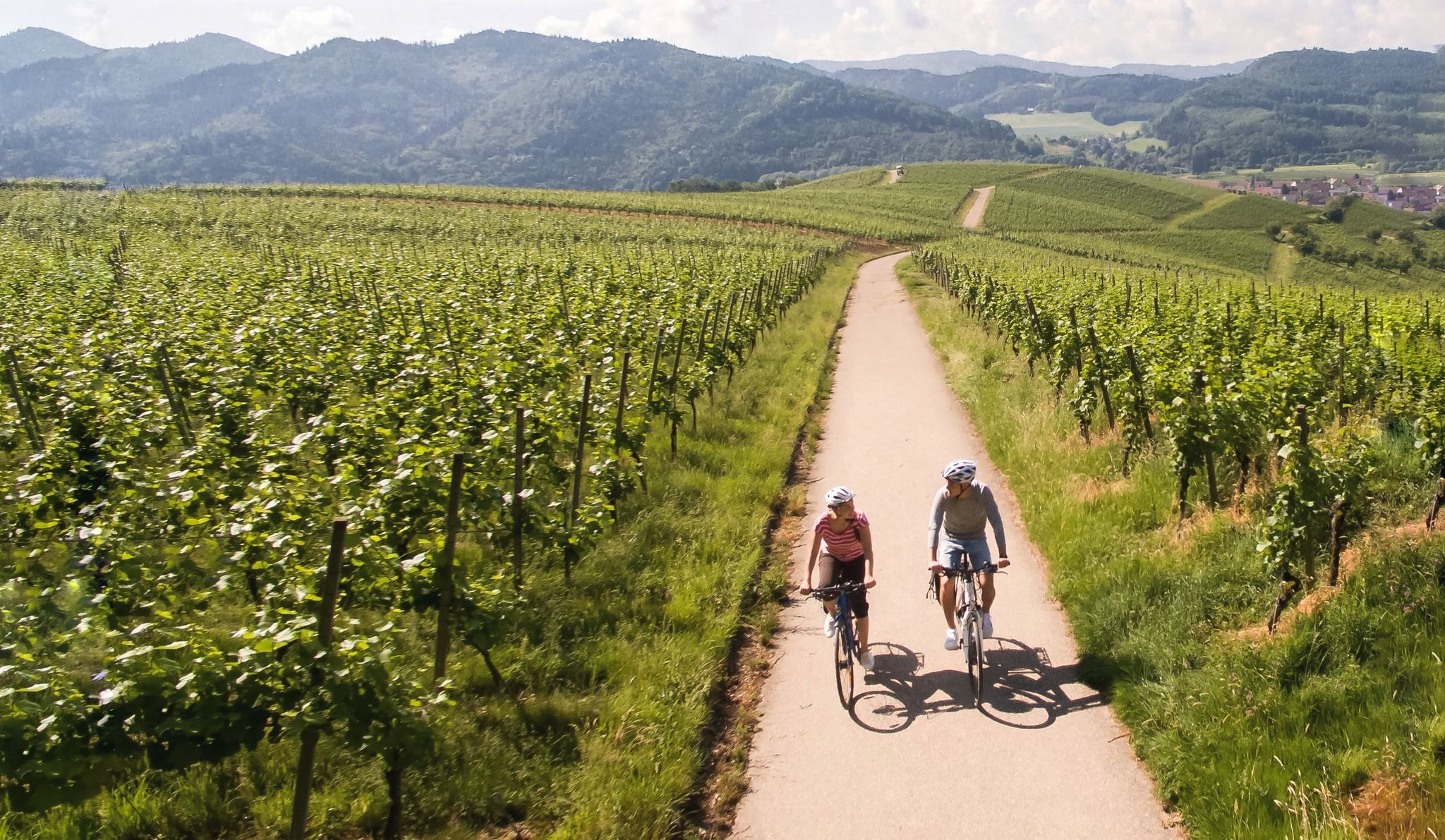
Vineyards and the Rhine Valley – the Baden Wine Cycle Route
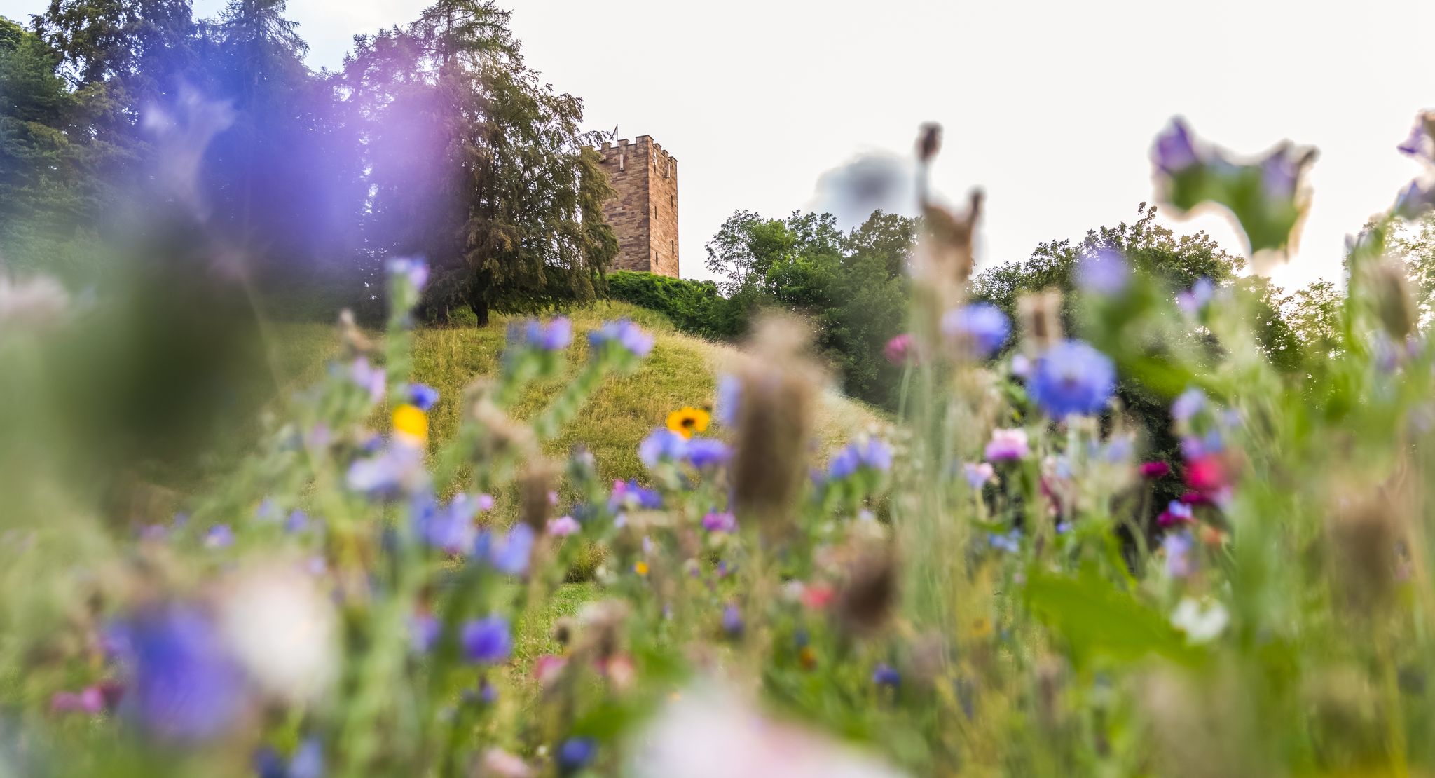
On foot in the nature park Stromberg-Heuchelberg
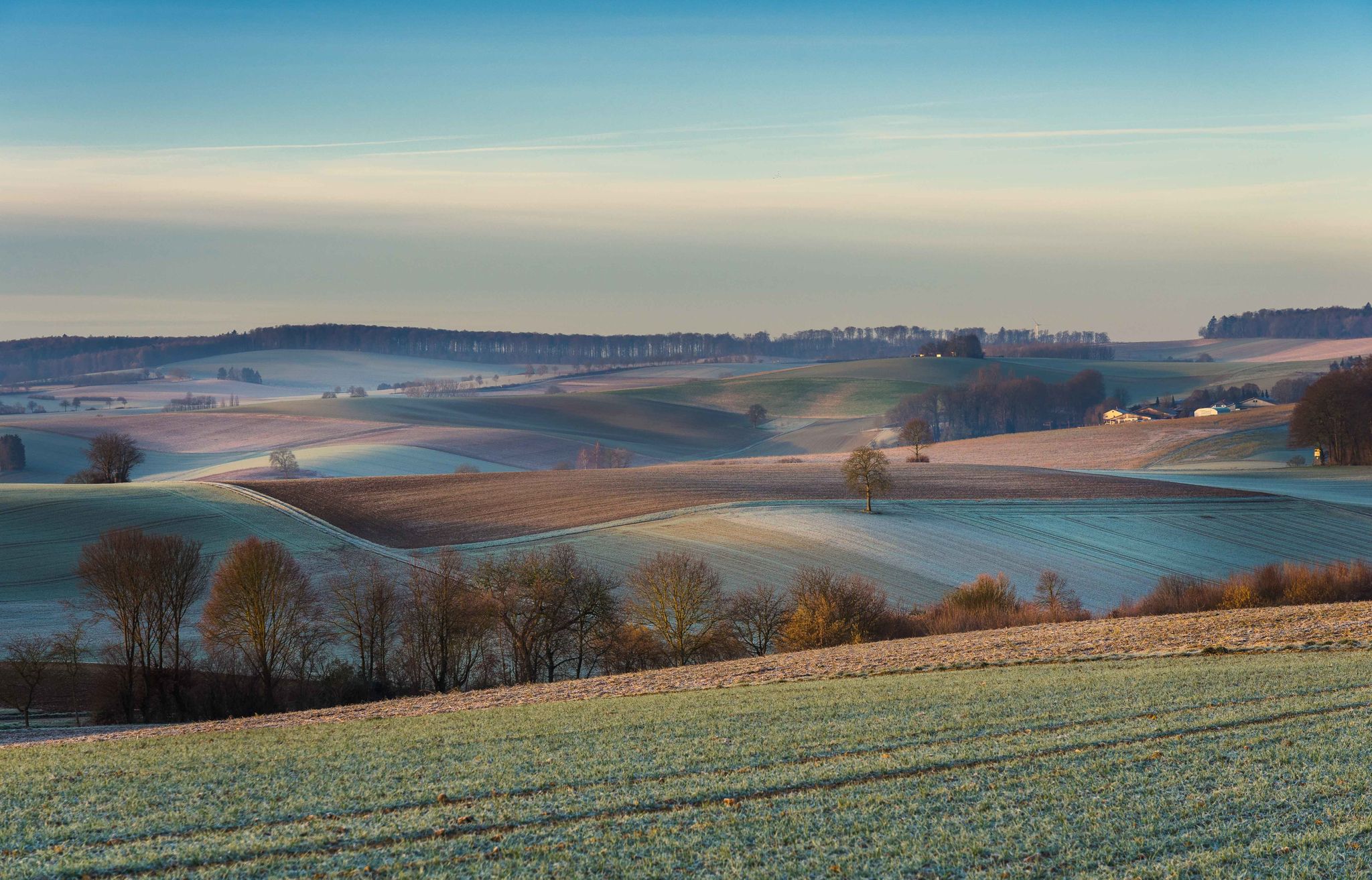
From hill to hill – hikes in Kraichgau-Stromberg
Other adventures around Oberderdingen


Tips from the Community

Excellent idea from « kraichgau-stromberg.de » to finally install « passage signs » 😆!
2
0

...a paradise for cycling!
1
0


Take a selfie of yourself, your fellow cyclists, and the pass sign. Then upload it to the Wall of Fame via the QR code on the pass sign or via the website http://www.kraichgau-stromberg.de/bewegen/radfahren/1000-huegel-paesse Alternatively, you can also tag it with the hashtag #1000hügelpässe on Instagram and Facebook. We look forward to a colorful collection of your hill pass moments! You can also find all the hill passes in the "1000-Hügel-Pässe-komoot-Collection".
1
0
Not far from the 404-meter-high Heukopf, you'll reach the wooded Lerchenbühlhof hill pass. Take a selfie of yourself, your fellow cyclists, and the pass sign. Then upload it to the Wall of Fame via the QR code on the pass sign or via the website http://www.kraichgau-stromberg.de/bewegen/radfahren/1000-huegel-paesse. Alternatively, you can also tag yourselves with the hashtag #1000hügelpässe on Instagram and Facebook. We look forward to a colorful collection of your hill pass moments! You can also find all the hill passes in the "1000-Hill-Passes-komoot Collection".
2
0

Pedaling up 400m often also results in 1000m
0
1

At 419 meters, the Bannhalde is one of the highest passes in the "Land of 1000 Hills." The pass is located in the beautiful Sternenfels area. Take a selfie in front of the pass sign and upload it to the Wall of Fame (via the QR code on the pass sign or via the website www.kraichgau-stromberg.de/bewegen/radfahren/1000-huegel-paesse).
0
1
Frequently Asked Questions
What kind of mountain passes can I expect around Oberderdingen?
The Oberderdingen region, nestled in the Kraichgau between the Stromberg and Heuchelberg hills, features rolling landscapes and vineyards rather than high mountain ranges. The 'mountain passes' here are typically scenic hill passes and climbs, with elevations reaching around 400-420 meters. They offer picturesque routes through forests and open countryside, ideal for cycling and hiking, rather than challenging high-alpine ascents. You'll find passes like Bannhalde Hill Pass and Lerchenbühlhof Hill Pass.
Are there challenging mountain passes for experienced cyclists or hikers?
While Oberderdingen's terrain is generally characterized by rolling hills, some routes offer intermediate climbs. For instance, the Hohenhaslach–Güglingen Climb provides some steeper passages, often shaded by forest, making it a good option for those looking for a moderate challenge. The hill passes in the region are more about scenic enjoyment and steady ascents rather than extreme difficulty.
What are the best times of year to visit the hill passes around Oberderdingen?
The hill passes and climbs around Oberderdingen are enjoyable throughout much of the year. Spring and autumn offer pleasant temperatures and beautiful scenery with blooming vineyards or colorful foliage. Summer is also suitable, especially for routes like the Hohenhaslach–Güglingen Climb which provides ample shade from the forest. Winter conditions can vary, but generally, the lower elevations mean less severe snow and ice compared to higher mountain regions, making them accessible for walking on clear days.
What outdoor activities can I do near these hill passes?
The region around Oberderdingen is excellent for various outdoor activities. You can explore numerous hiking trails, such as the "Derdinger Horn circular hike" or the "OD1 - Amthof Tour." For cyclists, there are many routes like the "Ears of grain Tour - around Flehingen" or the "Broom Tour - from Oberderdingen to Sulzfeld." You can find more details on these activities in the hiking guide and cycling guide for Oberderdingen.
Are there any viewpoints or scenic spots along the hill passes?
Yes, several hill passes offer rewarding views. The Bannhalde Hill Pass and Lerchenbühlhof Hill Pass are noted for their scenic qualities, often providing vistas over the rolling Kraichgau landscape. The Hill Pass "Zaberfelder Steige" also features a viewpoint, allowing you to take in the surroundings after your climb.
Are the hill passes around Oberderdingen suitable for families?
The hill passes in this region are generally accessible and can be enjoyed by families, especially for cycling or walking. While specific 'family-friendly' categories aren't assigned, the intermediate difficulty of most passes means they are manageable for active families. The focus on scenic routes through forests and vineyards makes for pleasant outings. Consider shorter routes or those with less elevation gain for younger children.
What natural features can I observe while exploring the passes?
The passes are situated within a landscape of rolling hills, extensive forests, and vineyards. You'll encounter natural monuments, ridge lines, and dense woodlands, offering opportunities to enjoy the local flora and fauna. The region is part of the Kraichgau, known for its diverse agricultural and natural scenery.
Are there any facilities like cafes or restrooms near the hill passes?
While specific facilities are not directly at every pass, the region is dotted with charming towns and villages where you can find cafes, restaurants, and public restrooms. For example, near the Bannhalde Hill Pass, there's a drinking fountain available to refill water bottles, which is a convenient amenity for cyclists and hikers.
Can I access these hill passes using public transport?
Oberderdingen and its surrounding villages are connected by local bus services, which can provide access points to various trails and routes leading to the hill passes. However, direct public transport to the exact summit of every pass is unlikely. It's best to plan your route in advance and check local bus schedules for the most convenient starting points for your hike or ride.
What do visitors enjoy most about the hill passes in this area?
Visitors frequently praise the scenic beauty and the enjoyable cycling and hiking opportunities. Many appreciate the well-maintained roads and trails, the pleasant shade offered by forest sections, and the sense of accomplishment after a climb. The "1000-Hügel-Pässe" project encourages visitors to take selfies at the pass signs, highlighting the community and recreational aspect of exploring these unique regional features.
Most popular routes around Oberderdingen
Most popular attractions around Oberderdingen

Get inspired with the komoot mobile app


Explore more
See even more epic mountain passes by checking out these guides around Oberderdingen:
