Top 13 Mountain Passes around Gaishorn am See
Mountain passes around Gaishorn am See offer access to various routes and elevated points in the scenic Palten Valley, bordering the Gesäuse National Park. These routes function as significant mountain crossings for hikers and cyclists. The area provides diverse terrain, from challenging ascents to more moderate transitions.
Best mountain passes around Gaishorn am See
- The most popular mountain passes is Buchauer Sattel, a mountain pass that serves as a starting point for hikes to the Grabneralm and Grabnerstein. It…
Last updated: July 8, 2026
Gesäuse
Highlight (Segment) • Natural Monument
Translated by Google •
Tip by

Hohentauern
Highlight • Settlement
Translated by Google •
Tip by
Sign up now to discover places like this
Get recommendations on the best single tracks, peaks, & plenty of other exciting outdoor places.
Sign up for free
Triebener Pass summit (1274 m)
Highlight • Mountain Pass
Translated by Google •
Tip by

Brunnecksattel
Highlight • Mountain Pass
Translated by Google •
Tip by

Buchauer Sattel
Highlight • Mountain Pass
Translated by Google •
Tip by

Sign up for free to discover even more mountain passes around Gaishorn am See.
Sign up for free
Already have an account?
Start today with a free account
Your next adventure awaits.
Login or Signup

Tips from the Community

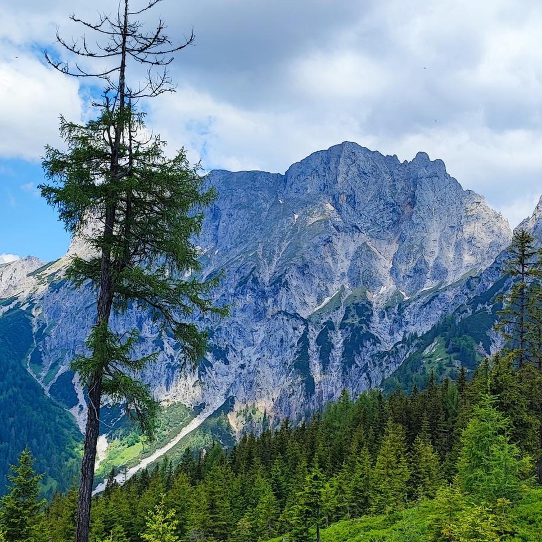
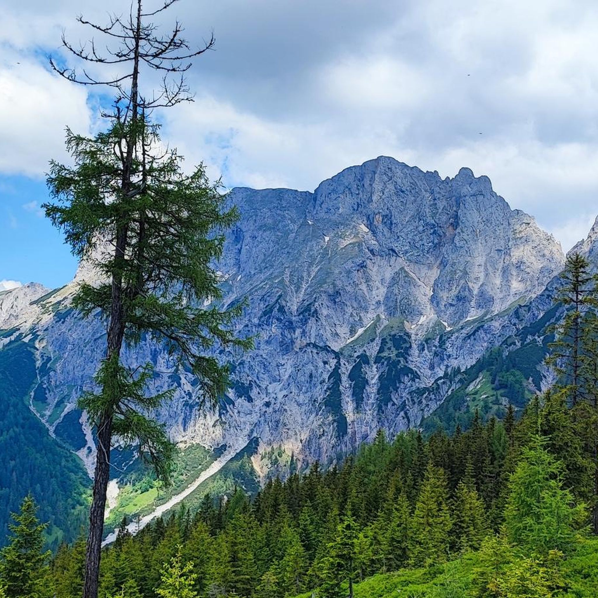
Steep, untamed and impressive: The Gesäuse National Park is Styria's only national park... and one of Austria's wildest places. Between Admont and Hieflau, framed by the Buchstein massif and the Hochtor group, the Enns river meets vertical limestone walls, alpine forests and an impressive diversity of species. Here you experience nature not staged, but pure and real. To marvel at, learn from, and breathe in.
0
0

Starting point for hikes to the Grabneralm, the Admonter Haus, the Grabnerstein, and the Admonter Warte. Parking is subject to a fee, currently €7 for a day ticket. Public restrooms and self-service refreshments are available.
0
0

There was relatively heavy traffic, including heavy goods vehicles, and an unbraked 40-ton truck overtook me with less than 1 meter of clearance. I'm annoyed that I ignored a friend's advice to use the Sölk Pass.
0
0

Here, the R7 Enns cycle path runs directly along the main road, with a few exceptions (tunnels), meaning you have to share the road with cars, motorbikes and buses. For me, however, on a beautiful Saturday, it was surprisingly pleasant 👌 Scenery: A dream!
0
0

Nice pass, although I prefer the north side... the south side "pulls" a bit... Sometimes not so pleasant because of the traffic...
0
0

Wasn't that much fun. Lots of heavy traffic on the way. I had to dismount several times to make it pass me.
0
1

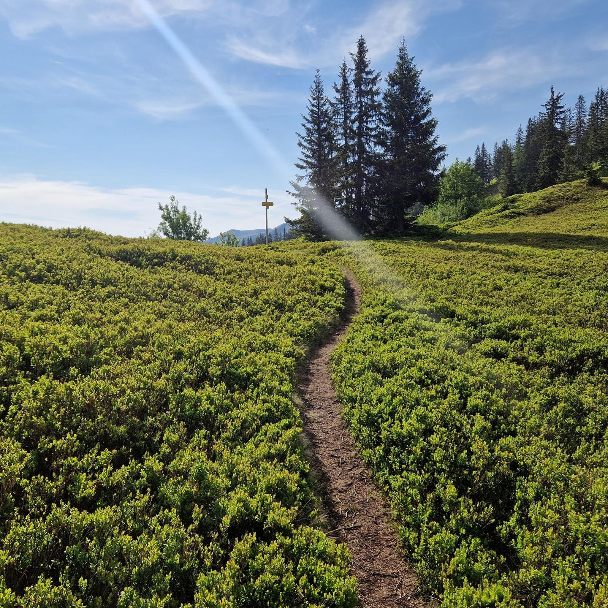
The small alpine village of Hohentauern is located at 1,274 meters above sea level on the Triebener-Tauern Pass. The place is perfect as a starting point for your hikes in the Rottenmanner Tauern. And in the inns of the village you can have a really good time after your hike.
2
0

Frequently Asked Questions
What are some notable mountain passes and elevated crossings around Gaishorn am See?
The region offers a variety of mountain passes and elevated points. Notable examples include Buchauer Sattel, known as a starting point for hikes to the Grabneralm, and Hohentauern, a settlement and mountain pass at 1,274 meters above sea level. The Triebener Pass summit (1274 m) is another significant road pass. For hikers, the route to the Mödlinger Hütte and the Brandstättertörl offer challenging ascents and stunning views.
What kind of views can I expect from the mountain passes in this region?
Many mountain passes and elevated points around Gaishorn am See offer breathtaking panoramic views. From the Mödlinger Hütte, you can see Reichenstein, Sparafeld, Kalbling, and extend to the Gesäuse and Eisenerzer Alps. The Brandstättertörl, as part of the Hochreichart ascent, provides a magnificent preview of expansive 360-degree views from the summit, including Hochschwab, Dachstein, and the Schladminger Tauern.
Are there any challenging mountain passes or routes for experienced hikers and cyclists?
Yes, the region offers challenging options. The route to the Mödlinger Hütte is a prominent and demanding ascent for both hikers and experienced cyclists, with inclines up to 26% and an 801-meter altitude difference for cyclists. The Brandstättertörl involves a well-marked trail that climbs above the tree line, leading to the steep southeast flank of the Hochreichart summit. The Gsengscharte within the Gesäuse National Park also involves sections requiring sure-footedness, aided by a wire rope.
What makes the Gesäuse National Park area unique for mountain passes?
The Gesäuse National Park, home to passes like the Gsengscharte, is known for its 'untamed' and 'wild' landscape. It features steep cliffs, rich biodiversity, and a unique ecosystem. Gesäuse itself is a natural monument with a scenic road along the Enns river, flanked by impressive mountains, offering opportunities for rafting, hiking, climbing, and cycling.
Are there family-friendly mountain passes or routes suitable for families?
While many routes involve significant elevation, some areas offer more moderate experiences. Hohentauern is categorized as family-friendly and serves as a good starting point for hikes. The Buchauer Sattel is described as a very moderate transition, making it accessible for a wider range of visitors.
How can I access the Mödlinger Hütte, and what activities are available there?
The Mödlinger Hütte can be accessed via a footpath (Weg 671) taking about 2.5 hours from Gaishorn am See, or via a demanding forest road suitable for mountain bikes. The forest road is also accessible by car with a toll fee, leading to a parking area about 30 minutes' walk from the hut. The hut itself is an Alpine Club hut providing refreshments and serves as a starting point for further mountain tours, including ascents to the Admonter Reichenstein and Spielkogel. You can find more information about the hut on Wikipedia.
Is parking available near the mountain passes?
Yes, parking is available at several key locations. For instance, the Buchauer Sattel has paid parking facilities. The forest road leading to the Mödlinger Hütte also has a parking area about 30 minutes' walk from the hut, accessible by car with a toll fee.
What is the best time of year to visit the mountain passes around Gaishorn am See?
Late spring is particularly beautiful when lower elevations are blooming and higher peaks still hold snow, offering a stunning contrast. Generally, the warmer months from late spring through early autumn are ideal for hiking and cycling, providing the best weather conditions for exploring the elevated routes.
What hiking opportunities are available near the mountain passes?
The region around Gaishorn am See offers extensive hiking opportunities. You can find routes like the 'Spielkogel Panorama Trail – Mödlinger Hut loop' or multi-day hikes. For instance, Brunnecksattel is noted as a suitable intermediate camp on a 2-day hike from Reichensteinhaus to Mödlinger Hütte. Explore more hiking trails in the area on the Hiking around Gaishorn am See guide.
Can I go cycling or mountain biking on or near these mountain passes?
Absolutely. The area is well-suited for both cycling and mountain biking. The forest road to the Mödlinger Hütte is an official mountain bike route, though demanding. You can also find routes like the 'Mödlinger Hut loop from Gaishorn am See' for cycling or the 'Spielkogel Panorama Trail – Mödlinger Hut loop' for mountain biking. Discover more cycling routes on the Cycling around Gaishorn am See guide and mountain biking trails on the MTB Trails around Gaishorn am See guide.
Are there any mountain passes that offer a truly wild or rugged experience?
Yes, the Gsengscharte, located within the Gesäuse National Park, offers a rugged experience. This pass involves a climb and descent path that is manageable with the aid of a wire rope, indicating sections that require a degree of skill and sure-footedness. It provides an opportunity to experience the raw beauty of one of Austria's most impressive national parks. For more about the national park, visit nationalpark-gesaeuse.at.
What amenities or services can I find near the mountain passes?
Near some passes, you can find amenities. For example, the Mödlinger Hütte is an Alpine Club hut that provides refreshments and regional cuisine. At the Triebener Pass summit (1274 m), there's a nice pub and a small supermarket. The Buchauer Sattel offers public restrooms and self-service refreshments.
Most popular routes around Gaishorn am See
Most popular attractions around Gaishorn am See

Get inspired with the komoot mobile app


Explore more
See even more epic mountain passes by checking out these guides around Gaishorn am See:
