Top 11 Mountain Passes around Ainet
Best mountain passes around Ainet are located in East Tyrol, Austria, a region defined by its dramatic alpine landscape. The area features numerous high-alpine routes, saddles, and cols rather than conventional vehicular passes. These routes provide challenging crossings through the formidable Schober Group and Lienz Dolomites. They are valued for their demanding terrain and natural beauty.
Best mountain passes around Ainet
- The most popular mountain passes is View of the Großglockner, a viewpoint that offers a clear perspective of…
Last updated: October 11, 2026
Hornscharte
Highlight • Mountain Pass
Showing Translation
Tip by

Peischlachtörl
Highlight • Mountain Pass
Translated by Google •
Tip by

Sign up now to discover places like this
Get recommendations on the best single tracks, peaks, & plenty of other exciting outdoor places.
Pustertaler Höhenstraße: Leisach to Bannberg (1,262 m)
Highlight (Segment) • Mountain Pass
Translated by Google •
Tip by

Gößnitzscharte
Highlight • Mountain Pass
Translated by Google •
Tip by

Kreuzseeschartl
Highlight • Mountain Pass
Translated by Google •
Tip by

Sign up for free to discover even more mountain passes around Ainet.
Already have an account?
Start today with a free account
Your next adventure awaits.
Popular around Ainet
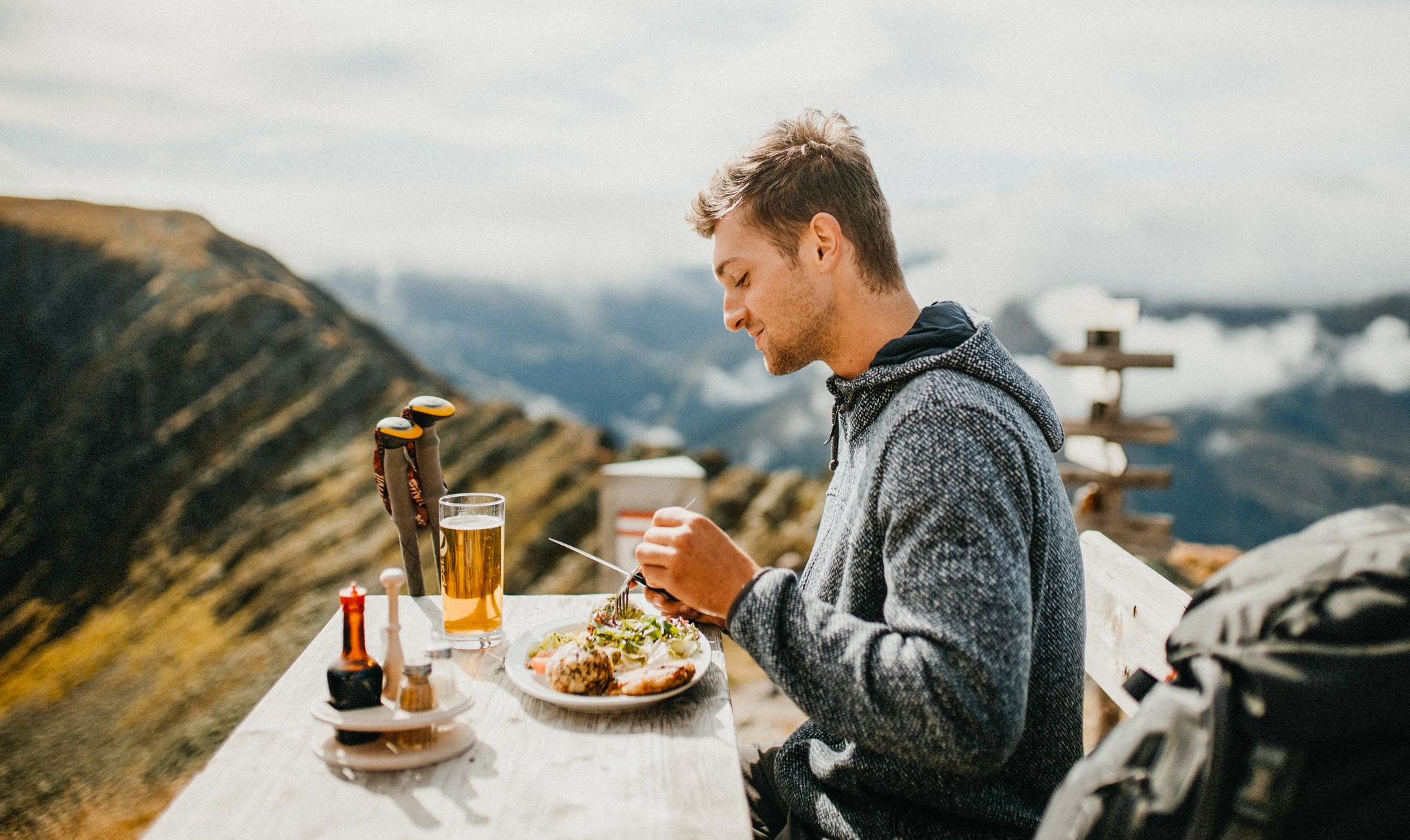
Mountain pastures and local dishes — hiking to the Tyrolean alpine huts
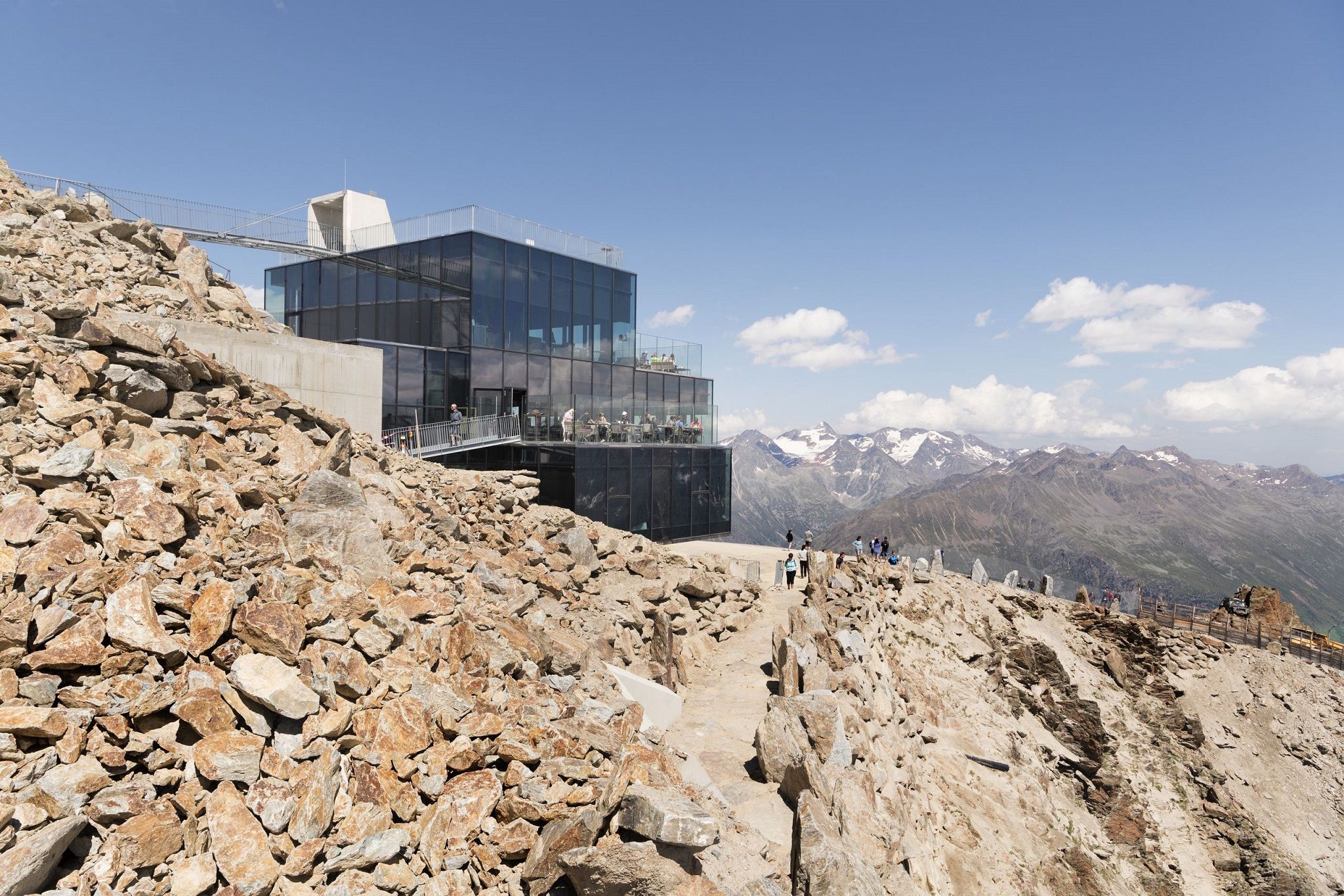
Delicious food and scenic mountains – Hikes for foodies in Tyrol
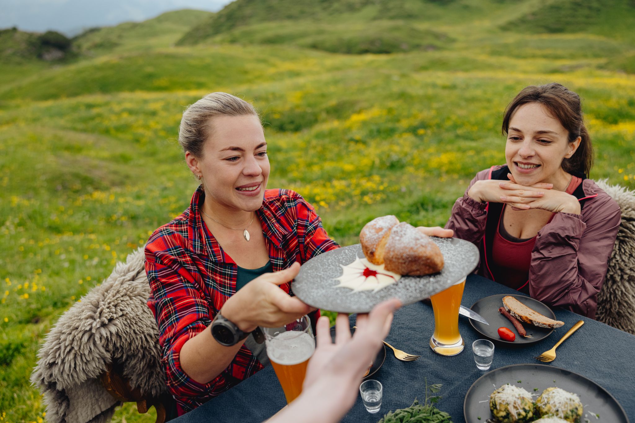
Alles außer gewöhnlich – Tirol für Genießer
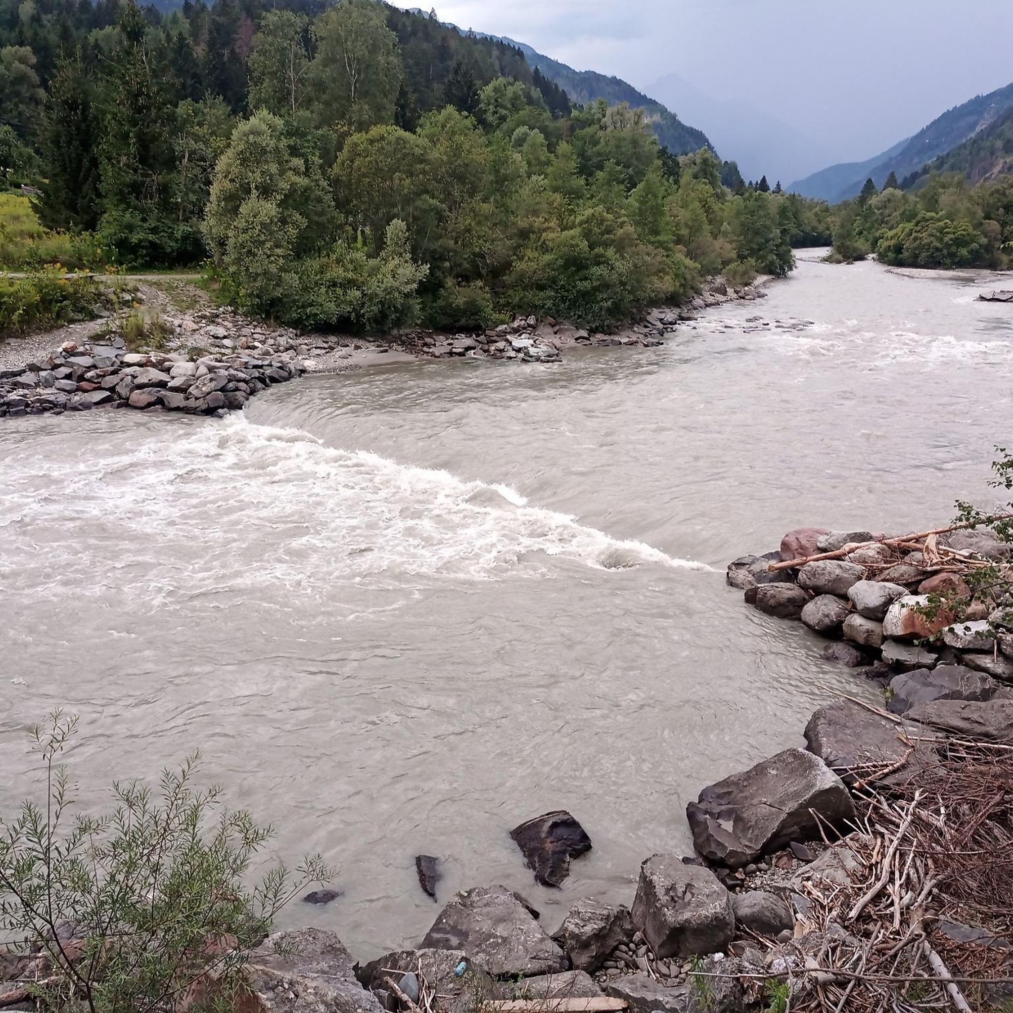
MTB Trails around Ainet
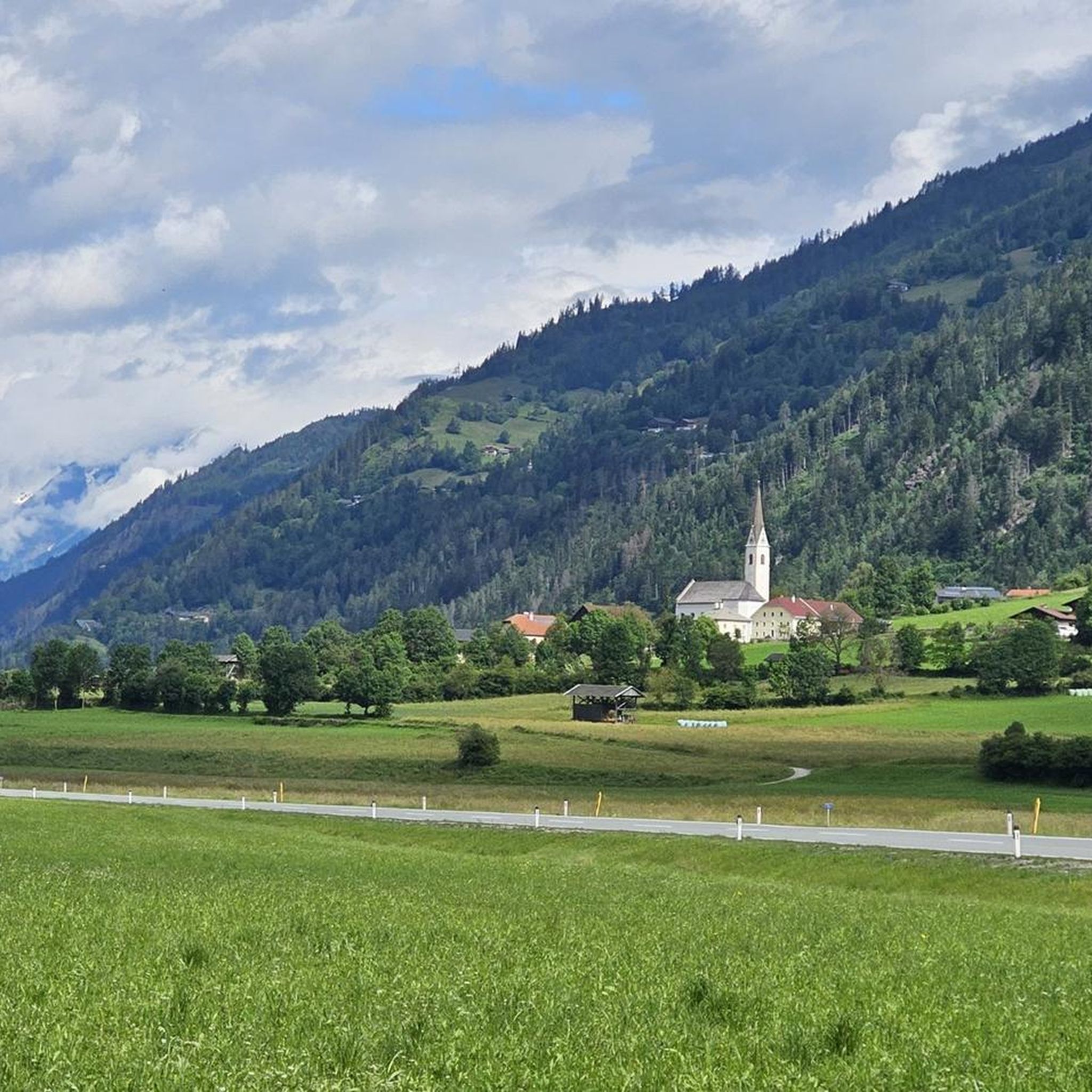
Cycling around Ainet
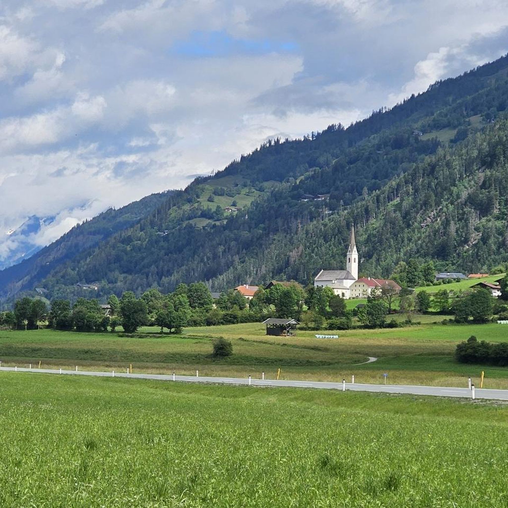
Road Cycling Routes around Ainet
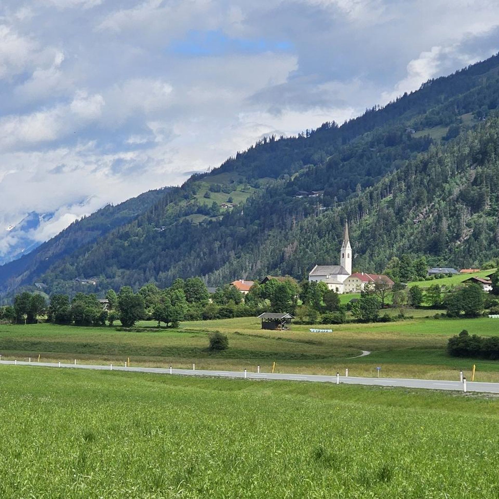
Hiking around Ainet
Mountain Hikes around Ainet
Running Trails around Ainet

Gravel biking around Ainet

Tips from the Community

Via ferrata set: If you have it with you, definitely safer than without.. The Hornscharte is a 2,958-meter-high mountain pass in the Schober group of the Hohe Tauern in Carinthia, Austria. It forms the challenging key section of the Wiener Höhenweg and connects the Adolf-Noßberger-Hütte with the Elberfelder Hütte as an alpine trail. Considered technically and physically demanding. Protection: Secured with steel ropes in the upper, exposed section (via ferrata difficulty A/B). Terrain: Steep ascent through a north-facing cirque with loose scree, debris, and boulders. View: First view of the Großglockner from the notch. Note: Sure-footedness, a head for heights, and alpine experience are absolutely essential. The risk increases significantly if there is snow or ice on the ropes.
0
0
The Hornscharte is a 2,958-meter-high mountain pass in the Schober group of the Hohe Tauern in Carinthia, Austria. It forms the challenging key section of the Wiener Höhenweg and, as an alpine trail, connects the Adolf-Noßberger-Hütte with the Elberfelder Hütte. Considered technically and physically demanding. Protection: Secured with steel cables in the upper, exposed section (via ferrata difficulty A/B). Terrain: Steep ascent through a north-facing cirque with loose scree, rubble, and boulders. View: First view of the Großglockner from the saddle. Note: Sure-footedness, a head for heights, and alpine experience are essential. The risk increases significantly in case of snow or ice on the cables. Via ferrata set: If you have it with you, definitely safer than without..
1
0

From the Elberfelder Hütte, it goes up over scree and boulders. Sure-footedness is required, but the crossing is feasible in good conditions.
0
0

strenuous, but top scenery!
0
0

It's a nice place to rest on the way to Böses Weibl. The flat plain also offers some panoramic views.
0
0

A beautiful plateau opens up, offering lovely views toward Böses Weibele or along the Eselsteig trail. A small hut awaits those who are caught off guard by the weather.
1
0

The first part is particularly tempting because of the extremely difficult start. It doesn't really get much better as the Pustertal High Mountain Road continues; it's more of a series of steep climbs, fast descents and heavenly views of the valley. It's definitely worth it, but it's not for the inexperienced!
3
1

The Peischlachtörl is at almost 2500 m and is a stopover point for several tours (e.g. Glorer Hütte - Böses Weebl...). A small emergency shelter is located here!
8
0
Frequently Asked Questions
What kind of mountain passes can I expect around Ainet?
Ainet is known for its dramatic alpine landscape, featuring numerous challenging and exceptionally scenic high-alpine routes, saddles, and cols rather than traditional vehicular mountain passes. These routes offer spectacular crossings through the formidable Schober Group and Lienz Dolomites, highly prized by hikers and mountaineers for their breathtaking views and demanding terrain.
What are some of the most scenic viewpoints or natural features on these routes?
The region offers stunning natural features. You can find the View of the Großglockner, which provides a clear perspective of Austria's highest mountain. Other highlights include the high mountain lake Gartlsee near the Leibnitztörl saddle, and the panoramic views from the Peischlachtörl, which includes the Böse Weebl. The Gößnitzscharte also offers magnificent views of the high mountain landscape.
Are there challenging cycling routes that incorporate mountain passes near Ainet?
Yes, for cyclists seeking a challenge, the Pustertaler Höhenstraße: Leisach to Bannberg (1,262 m) is a demanding cycle way featuring steep climbs, fast descents, and rewarding views of the valley. It's not for the inexperienced but offers a memorable ride. You can find more challenging cycling routes around Ainet in our Road Cycling Routes around Ainet guide.
What are some demanding hiking routes in the high-alpine terrain near Ainet?
For experienced hikers, the Hochschoberhütte – Gartlsee Loop is a challenging 11.4 km route leading to the Gartlsee by the Leibnitztörl saddle (2,571 meters), offering spectacular views of the Schober Group. Another difficult option is the Alkuser See Loop from Ainet, an 18.8 km path with substantial climbing and panoramic views, requiring excellent physical condition. The Staniskascharte route towards Hochschober also demands surefootedness and offers expansive distant views.
What is the best time of year to visit the mountain passes around Ainet?
The best time to visit the high-alpine routes and passes around Ainet is generally during the warmer months, from late spring to early autumn (June to September). During this period, snow has usually melted from higher elevations, and weather conditions are more stable, making hiking and cycling safer and more enjoyable. Always check local weather forecasts before heading out.
Are there any long-distance trails that traverse the region's mountain passes?
Yes, the Wiener Höhenweg (Vienna High Altitude Trail) is a notable long-distance route that traverses the 'lonely Schober Group mountains' in the broader vicinity of Ainet. This high-alpine trail spans six stages, covers approximately 49 kilometers, and includes high crossings over 2,500 meters with exposed, rope-secured passages. It requires alpine experience, stamina, and surefootedness.
What kind of views can I expect from the <a href="https://www.komoot.com/highlight/1981086" target="_blank" rel="noopener">Peischlachtörl</a>?
The Peischlachtörl, situated at almost 2,500 meters, offers wonderful far-reaching views. Hikers can enjoy panoramic vistas that include the Böse Weebl and a surprising high moor. It also serves as a convenient stopover point for several tours in the area.
What other outdoor activities can I do near the mountain passes around Ainet?
Beyond exploring the mountain passes, Ainet offers a variety of outdoor activities. You can find numerous cycling routes, including easy and difficult options, as detailed in our Cycling around Ainet guide. For mountain biking enthusiasts, there are challenging MTB trails available, which you can explore in our MTB Trails around Ainet guide.
What do visitors enjoy most about the mountain passes around Ainet?
Visitors particularly appreciate the challenging nature of the routes, the pristine natural beauty, and the unparalleled panoramic views. The demanding terrain and the sense of accomplishment after traversing these high-alpine areas are frequently highlighted. The opportunity to witness majestic peaks like the Großglockner and explore untouched alpine wilderness is also a major draw.
Are there any mountain passes suitable for a crisp ascent with good views?
Yes, the Ascent to Iselsberg from the Möll Valley offers a crisp ascent on a good road. While there can be traffic, it provides a beautiful panorama over Winklern and the Mölltal, especially when looking back.
Are there any facilities or shelters available on these high-alpine routes?
On some routes, you may find facilities. For instance, the Peischlachtörl has a small emergency shelter and a bench for resting. The Gößnitzscharte is also a good spot for a short break. For longer routes like the Wiener Höhenweg, there are usually huts available at the end of each stage, but it's essential to plan your route and check for specific hut opening times and availability.
Most popular routes around Ainet
Most popular attractions around Ainet

Get inspired with the komoot mobile app


Explore more
See even more epic mountain passes by checking out these guides around Ainet:
