Top 6 Mountain Passes around Reichenfels
Best mountain passes around Reichenfels are found in a region strategically situated within Austria's Carinthia state. The municipality is nestled between the Packalpe and Seetaler Alpen ranges. This location provides access to several notable passes and scenic routes. The area offers opportunities for hiking, driving, and winter sports.
Best mountain passes around Reichenfels
- The most popular mountain passes is Klippitztörl Pass at 1,842 m, a mountain pass that offers high-altitude driving and biking routes. It provides panoramic alpine views…
Last updated: October 24, 2026
Gaberl
Highlight • Mountain Pass
Translated by Google •
Tip by

Peterer Saddle (1,745 m)
Highlight • Mountain Pass
Translated by Google •
Tip by

Sign up now to discover places like this
Get recommendations on the best single tracks, peaks, & plenty of other exciting outdoor places.
Klippitztörl altitude 1.642 m
Highlight • Mountain Pass
Translated by Google •
Tip by

Klippitztörl Parking for Geierkogel and Zirbitzkogel Tours
Highlight • Parking
Hiking trail to the Geierkogel ➡️ directly from the parking lot
Hiking trail to the Zirbitzkogel ➡️ cross the road
Translated by Google •
Tip by

Hirschegger Straße
Highlight (Segment) • Mountain Pass
Translated by Google •
Tip by

Start today with a free account
Your next adventure awaits.
Popular around Reichenfels
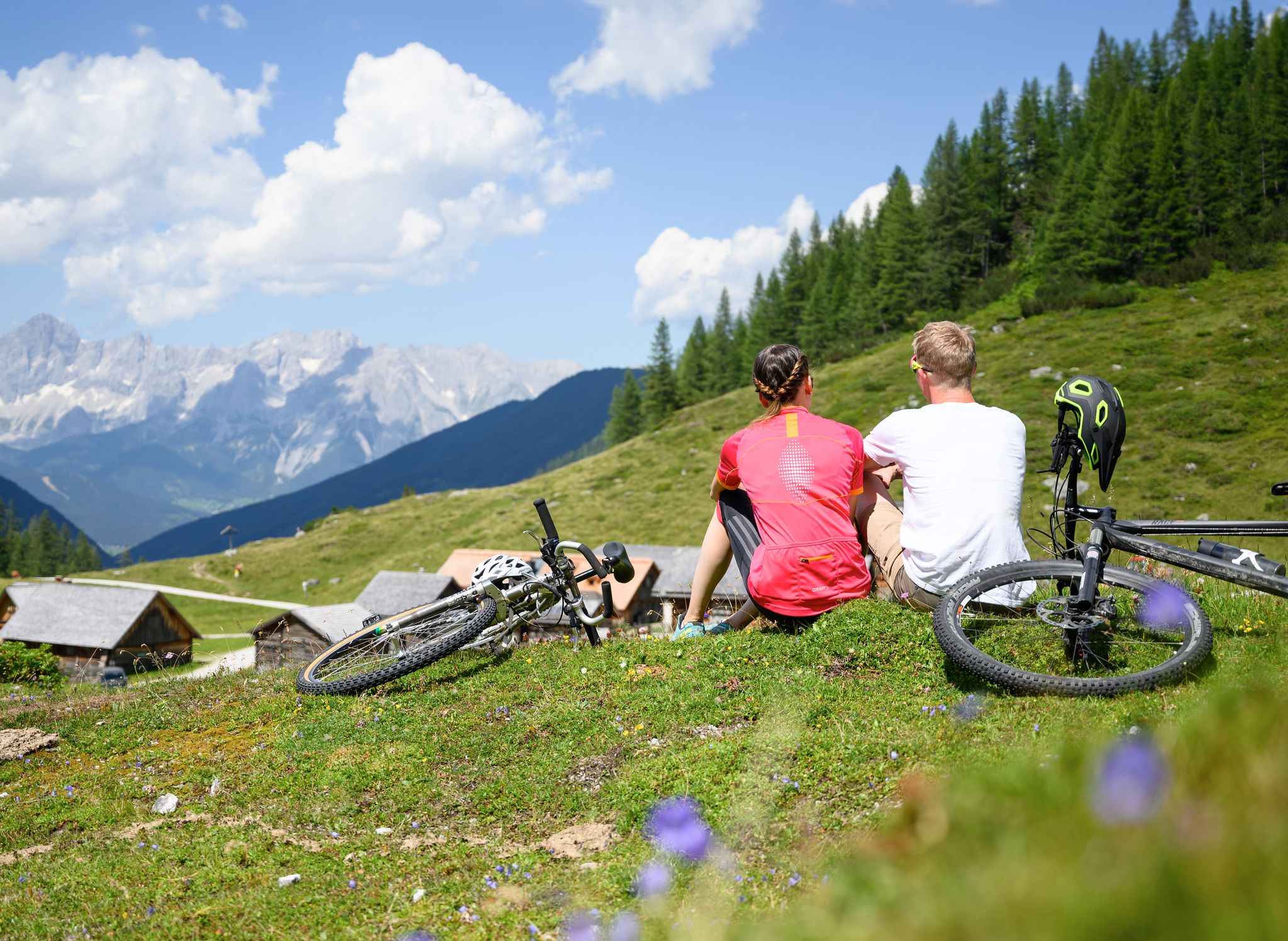
Magnificent mountain biking on Austria's alpine pastures
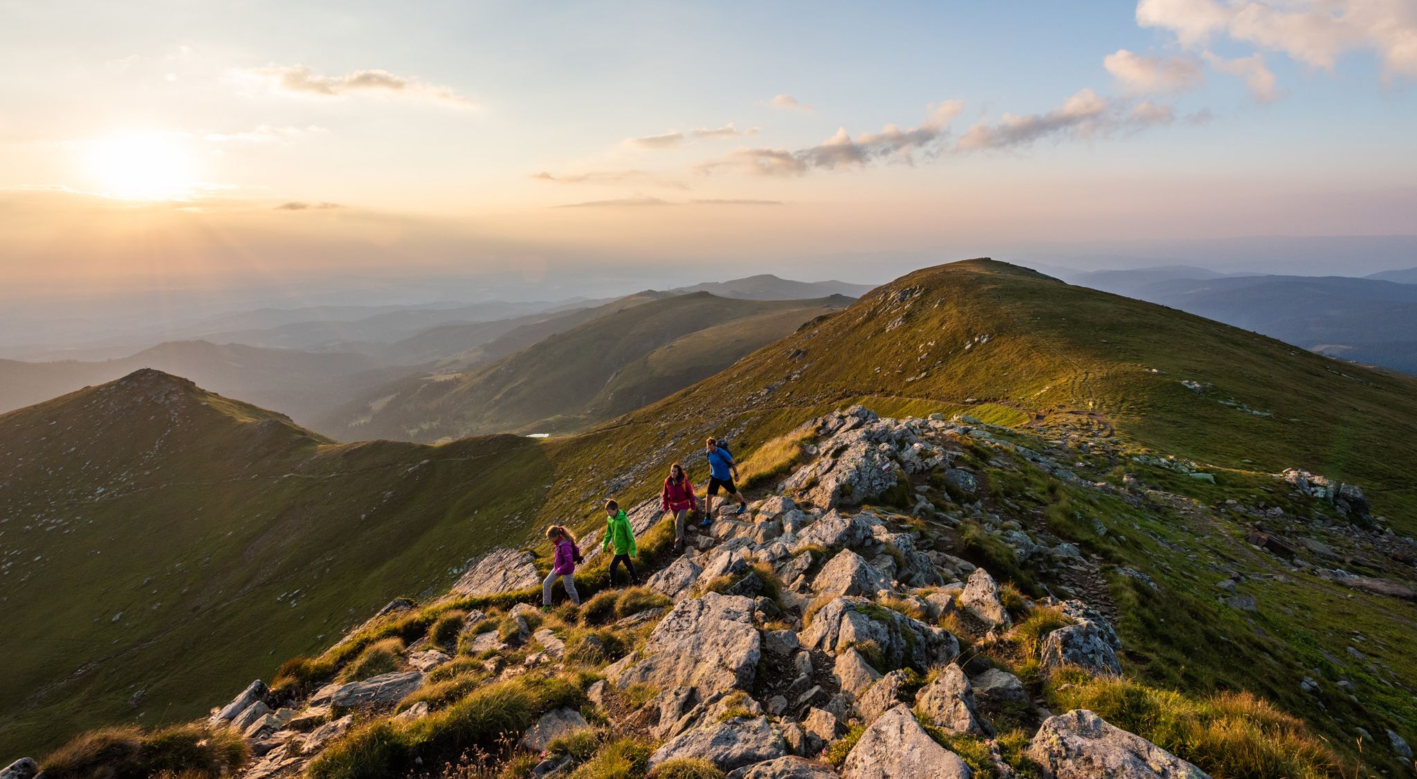
9 days of relaxation and wonder in Austria – Lavant Valley Trail

Cycling around Reichenfels

Road Cycling Routes around Reichenfels

Hiking around Reichenfels

MTB Trails around Reichenfels
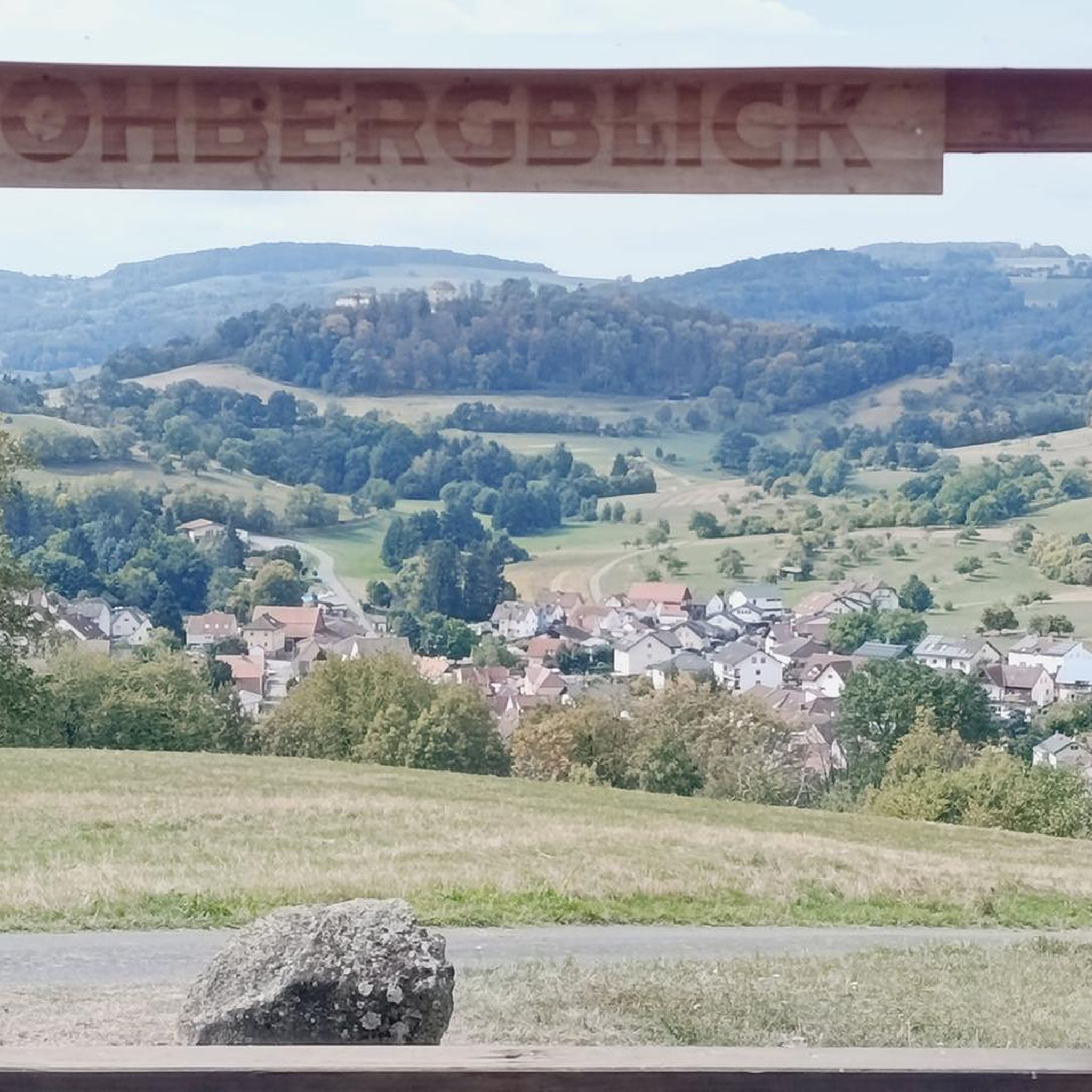
Mountain Hikes around Reichenfels

Running Trails around Reichenfels


Tips from the Community

Starting point for the Geierkogel. However, the Klippitztörl is not 1,842 m but only 1,642 m high.
0
0

At the fountain at the top of the pass, you can rinse the sweat from your face and fill your bottles.
0
0

The Klippitztörl is a pass that connects the Carinthian Lavanttal with the region around Althofen.
11
0
The parking lot is located at 1690 meters above sea level and is free of charge 💡
11
0
Klippitztörl 4 9462 Bad St. Leonhard 🧭 The address does not lead directly to the car park. From Bad Sankt Leonhard, please just continue to the hairpin bend.
10
0
Parking lot for tours to the Geierkogel 🌄or to the Zirbitzkogel ⛰️ as a long-distance hike👣 Hiking trail to the Geierkogel ➡️ directly from the parking lot Hiking trail to the Zirbitzkogel ➡️ cross the road
12
0


The road to the Salzstiegelhaus is mostly asphalted, with about 3.5 kilometers of dirt road. The way up is also easy to ride on a racing bike, but the way down is probably a bit more difficult. Completely unproblematic with the CX. I encountered a few cars here, but the traffic was limited. The scenery is very beautiful, the gradient is very even.
0
0
Frequently Asked Questions
What activities can I do at Klippitztörl Pass?
The Klippitztörl Pass is a versatile destination. During warmer months, it's popular for high-altitude driving and biking routes, offering panoramic alpine views. It's also a great spot for hiking, with trails providing access to stunning natural beauty. In winter, Klippitztörl transforms into a popular ski and snowboard area, complete with ski resorts and lifts, making it suitable for family holidays.
What makes Salzstiegel (Hirschegger Sattel) unique?
The Salzstiegel, also known as Hirschegger Sattel, is a historic mountain pass on the Stubalpe. It's characterized by numerous operational historic huts, testaments to its past as a crucial salt transport route. Today, it's a popular hiking paradise with sprawling alpine pastures and gentle hilltops. You can find routes ranging from leisurely alpine walks along the North-South Long-Distance Trail 505 to challenging summit tours. The well-known "From Glacier to Wine" hiking route also passes through here, and traditional Styrian cuisine is offered in rustic huts.
Are there family-friendly options among the mountain passes near Reichenfels?
Yes, the region offers family-friendly options. Klippitztörl Pass is particularly noted for its family-friendly ski resorts and lifts in winter. For hiking, the Salzstiegel area provides a wide range of outdoor experiences, including leisurely alpine walks suitable for various ages. Additionally, the Klippitztörl Parking for Geierkogel and Zirbitzkogel Tours is highlighted as family-friendly, indicating accessible starting points for walks.
What kind of hiking opportunities are available near Reichenfels' mountain passes?
The mountain passes around Reichenfels offer diverse hiking opportunities. Klippitztörl Pass is a popular destination for hiking during warmer months. The Salzstiegel area is a hiking paradise, catering to all levels from leisurely alpine walks to challenging summit tours to peaks like Rappoldkogel (1,928m) or Speikkogel. You can find more specific hiking routes, including easy options, in the nearby guide for Easy hikes around Reichenfels.
When is the best time to visit the mountain passes around Reichenfels?
The best time to visit depends on your preferred activities. For hiking, driving, and biking, the warmer months are ideal, offering panoramic alpine views and access to trails. For winter sports like skiing and snowboarding, the winter season transforms areas like Klippitztörl into popular destinations.
Can I find places to eat or stay near the mountain passes?
Yes, especially around the more developed passes. Along the road at Klippitztörl Pass, visitors can find hotels and rental chalets. The Salzstiegel area is known for its numerous operational historic huts that offer traditional Styrian cuisine, providing perfect spots for hikers to rest and refuel.
What are the driving conditions like on the mountain passes?
The mountain passes in the region generally offer good driving conditions. Klippitztörl Pass features a well-maintained, sealed road that is typically wide enough for safe vehicle passing, offering a fun drive with relatively low traffic. The Hirschegger Straße leading to Salzstiegel is mostly asphalted with a gentle gradient, suitable for cycling and cars. The Obdacher Sattel, traversed by the B78, has undergone renovations to widen the roadway, ensuring a practical connection between Carinthia and Styria.
Are there opportunities for winter sports near Reichenfels' mountain passes?
Yes, the region is well-suited for winter sports. Klippitztörl Pass transforms into a popular ski and snowboard area during winter, offering access to ski resorts and lifts. The broader Seetaler Alpen range, which includes areas around Klippitztörl, also features several ski areas.
What natural features can I expect to see in the mountain ranges surrounding Reichenfels?
Reichenfels is nestled between the Packalpe and the Seetaler Alpen. The Packalpe is known for its gentle character and extensive alpine pastures. The Seetaler Alpen, with Zirbitzkogel (2,396m) as its highest peak, boasts rugged rock formations above the tree line and picturesque cirque or kar lakes such as Winterleitenseen, Wildsee, and Lavantsee.
What do visitors enjoy most about the mountain passes around Reichenfels?
Visitors appreciate the diverse experiences offered. Many enjoy the panoramic alpine views from passes like Klippitztörl Pass, especially from viewpoints at the summit. The well-maintained roads are favored for driving and cycling, with some noting the pleasant and even ascents of passes like Gaberl Pass. The historical charm and extensive hiking trails of Salzstiegel, along with its traditional huts, are also highly valued.
Is Gaberl Pass suitable for cycling?
Yes, Gaberl Pass is appreciated by cyclists. It is known for its pleasant and even ascents, with routes often described as never very steep and pleasantly shaded. Cyclists have noted that the ascent from Köflach is particularly enjoyable. However, it can be a popular route for motorcycles at certain times.
How can I access the mountain passes if I don't have a car?
While specific public transport details to each pass might vary, the region is generally accessible. For hiking, some passes like Klippitztörl have parking areas that serve as trailheads. For detailed public transport information to specific trailheads or passes, it's advisable to check local transport schedules, as this guide focuses on the passes themselves.
Most popular routes around Reichenfels
Most popular attractions around Reichenfels

Get inspired with the komoot mobile app


Explore more
See even more epic mountain passes by checking out these guides around Reichenfels:
