Top 20 Natural Monuments around Zwölfaxing
Best natural monuments around Zwölfaxing include a network of waterways and access to the wider Donau-Auen National Park. The municipality is characterized by rivers such as the Kalter Gang, Mitterbach, and Schwechat, which contribute to the local natural landscape. These features offer opportunities for observing riparian ecosystems and engaging in outdoor recreation. The area provides diverse natural highlights for exploration and wildlife observation.
Best natural monuments around Zwölfaxing
- The most popular natural monuments is Wienerberg Pond, a lake that is an artificially created pond with a history related to a brickyard, now a protected landscape. It provides a habitat for numerous bird species and offers a green recreational area.
- Another must-see spot is Liesingbach Restoration, a river undergoing renaturation to create new habitats and improve flood protection. Visitors can observe the ecological improvements and enjoy the green spaces along the water.
- Visitors also love Southern tip of the Danube Island (Donauinsel), the lower end of the Danube Island where the New Danube meets the Danube. It offers views towards Schwechat and the airport, and is a place to observe river activity.
- Zwölfaxing is known for its rivers, ponds, and national park areas. The area offers diverse opportunities for exploration, recreation, and wildlife observation.
- The natural monuments around Zwölfaxing are appreciated by the komoot community, with more than 475 upvotes and 16 photos shared.
Last updated: October 11, 2026
Liesingbach Restoration
Highlight • River
The renaturation of the Liesingbach is taking place in six parts, which should be completed by the end of 2027. The first component was completed in April 2021 and covers the section between Karl-Sarg-Gasse and Rudolf-Waisenhorn-Gasse in the 23rd district. The second part is scheduled to start in November 2022 and will cover the section between Großmarktstraße and Gutheil-Schoder-Gasse. The other components will be tackled in the following years.
The renaturation of the Liesingbach brings many advantages for people and nature. The bank areas will be flattened, planted and provided with stones and rootstocks to create habitats for animals and plants. The water quality will be improved by building an additional rainwater channel. Flood protection is increased by hydraulic engineering modifications being made to the retention basins. The residents benefit from more green space by the water, which invites you to walk, cycle or relax
Translated by Google •
Tip by

Confluence of the Triesting and the Schwechat rivers
Highlight • River
The course of the many rivers and streams in this "water-rich" part of the Vienna Basin is quite complicated: Above is the Laxenburg Palace Park, the Laxenburg Canal, which branches off from the Triesting in Münchendorf, and from the Heidbach, which branches off the Schwechat in the Baden area - also called Badner Mühlbach - flows through. The Laxenburg canal culverts the Schwechat south-east of the palace gardens. In Achau, the Krottenbach, the Mödlingbach and the outflow from the pond in the Laxenburg Palace Park, the Lobenbach, first come together. The Schwechat - also called "Aubach" here - and the Triesting follow immediately afterwards. The Schwechat - the new name for all flowing waters - in turn has two rivers, the Mitterbach - the name for the Schwechat below the imperial indulgences to Schwechat - and the original Schwechat, i.e. the Schwechat-Werksbach. Only in Schwechat itself, at the confluence of the Liesingbach, do these waters unite again to form the Schwechat. (from a writing by SC Maria Lanzendorf)
Translated by Google •
Tip by

Sign up now to discover places like this
Get recommendations on the best single tracks, peaks, & plenty of other exciting outdoor places.
Danube-Auen National Park
Highlight (Segment) • Cycleway
Translated by Google •
Tip by
Groß-Enzersdorfer Arm
Highlight • River
Translated by Google •
Tip by

Wienerberg Pond
Highlight • Lake
Enchanting paths wind their way through meadows and embankments across 123 hectares. At the heart of the area lies an artificial pond with quite a story to tell. A brickyard once stood here, active since Roman times. Under Maria Theresa, the first state-run brickyard was established, and later Alois Miesbach took over the business. His brick factory became the largest in Europe – with an unbelievable annual production of 130 million bricks!
But in the 1960s, it all came to an end, and the factory closed. The Wienerberg Pond is essentially just the result of the excavated material from these brickworks. After the factory closed, the area was initially misused as a dumping ground. But then the city's foresters came along and lovingly transformed this place into a genuine recreational area.
It was a brilliant idea not to build apartment blocks all over it! This way, we can preserve this piece of nature, which invites us to relax and breathe deeply. Unlike the gray concrete jungles of the city, this is a place where you can truly flourish.
Translated by Google •
Tip by

Sign up for free to discover even more natural monuments around Zwölfaxing.
Already have an account?
Start today with a free account
Your next adventure awaits.

Tips from the Community

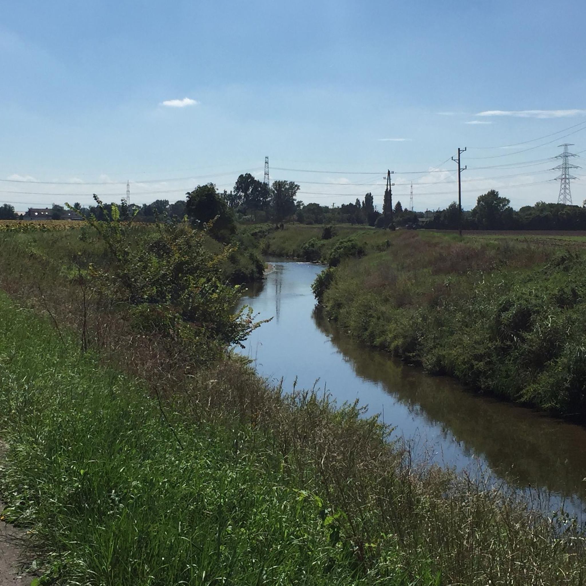
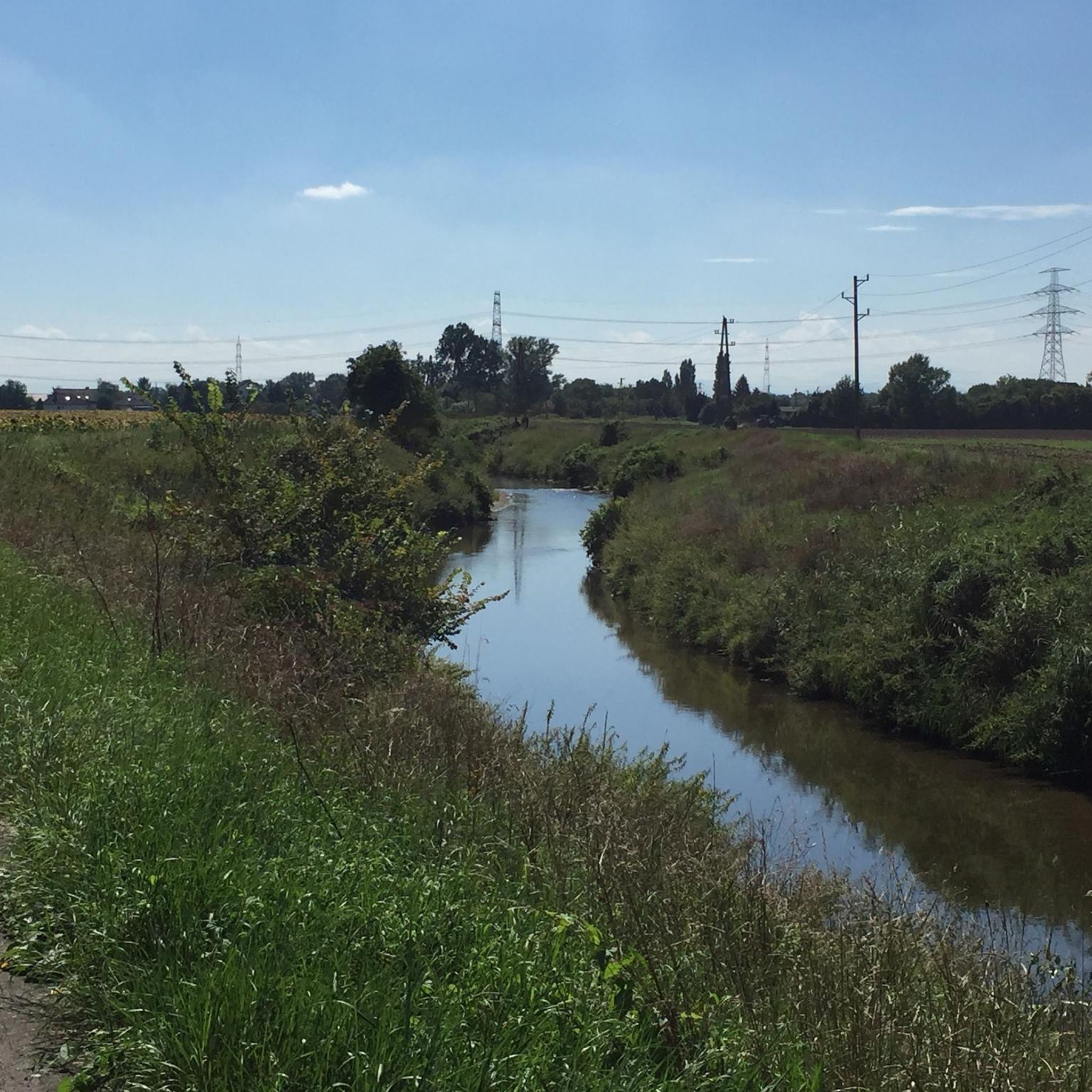
Since the end of July (!) only a narrow trickle... even though the water stretch, which extends from the Alte Donau through Stadlau, through the Mühlwasser over Aspern, over the Esslinger Furt and the Groß-Enzersdorfer arm down to the natural 2nd basin of the Danube-Oder Canal, is officially and actually supplied with water from Vienna. However, according to the method "Too much to die, too little to live."
1
0

A great recreation area just outside Vienna
1
1


The Danube-Auen National Park is one of the last large, intact floodplain landscapes in Central Europe. It stretches along the Danube between Vienna and Bratislava and covers an area of around 9,600 hectares. The national park protects this unique river landscape, which is characterized by a dynamic interplay of floods, gravel banks, old watercourses and floodplain forests. The national park was created after the successful protests against the construction of a hydroelectric power plant in Hainburg in the 1980s. The protection of the floodplains became a milestone in the Austrian environmental movement. The Danube flows largely unregulated in this section, which means that natural flooding and changes in the course of the river remain possible. This dynamic creates diverse habitats.
2
1

A highlight of the Wienerberg is the artificially created Wienerberg pond, which is surrounded by reed belts and provides a habitat for numerous bird species.
11
1

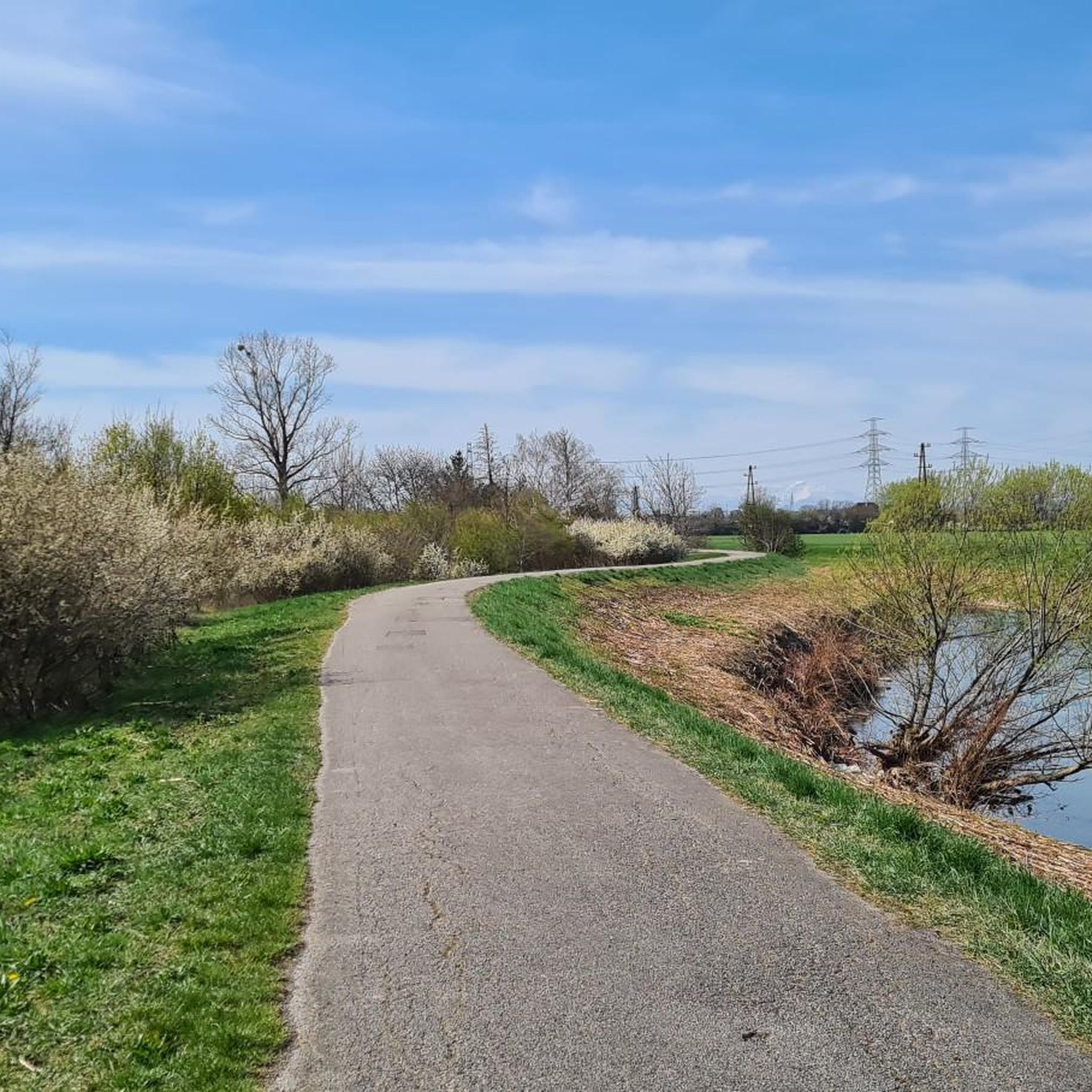
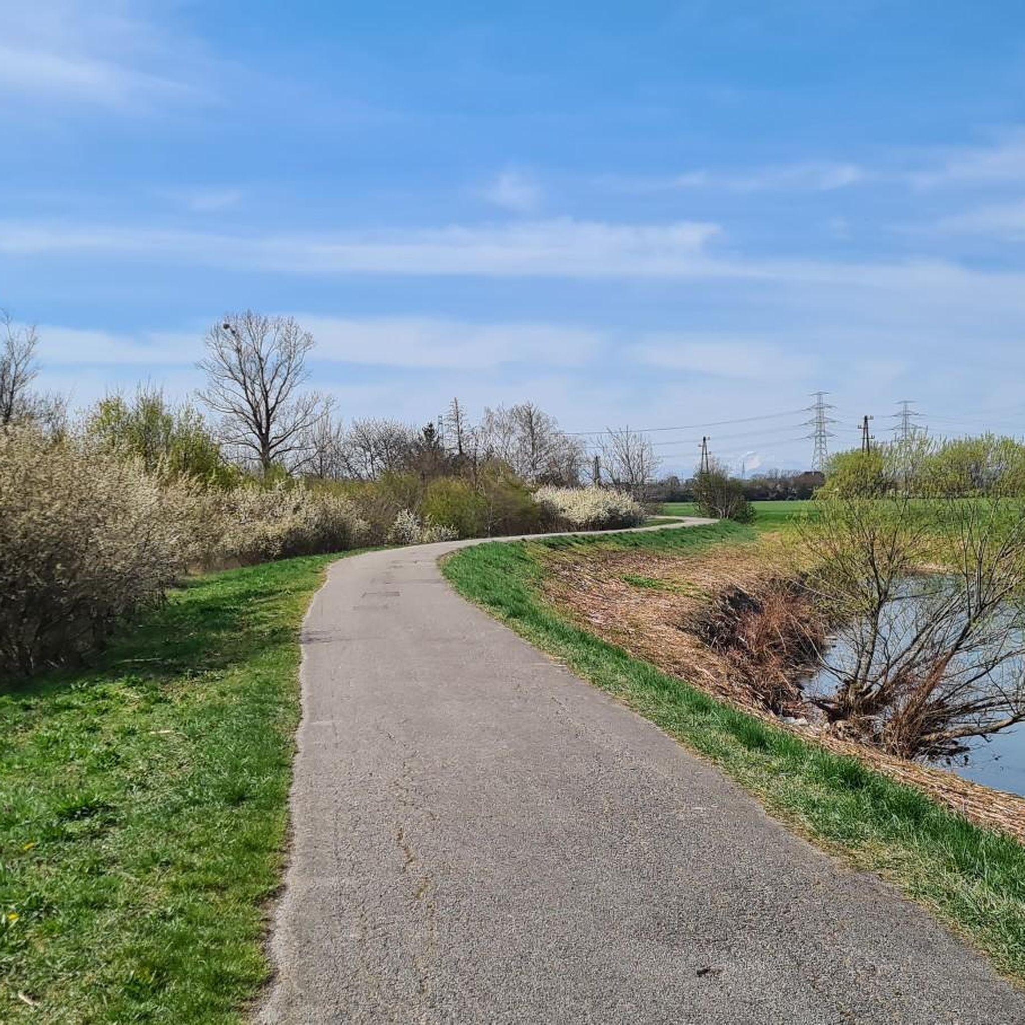
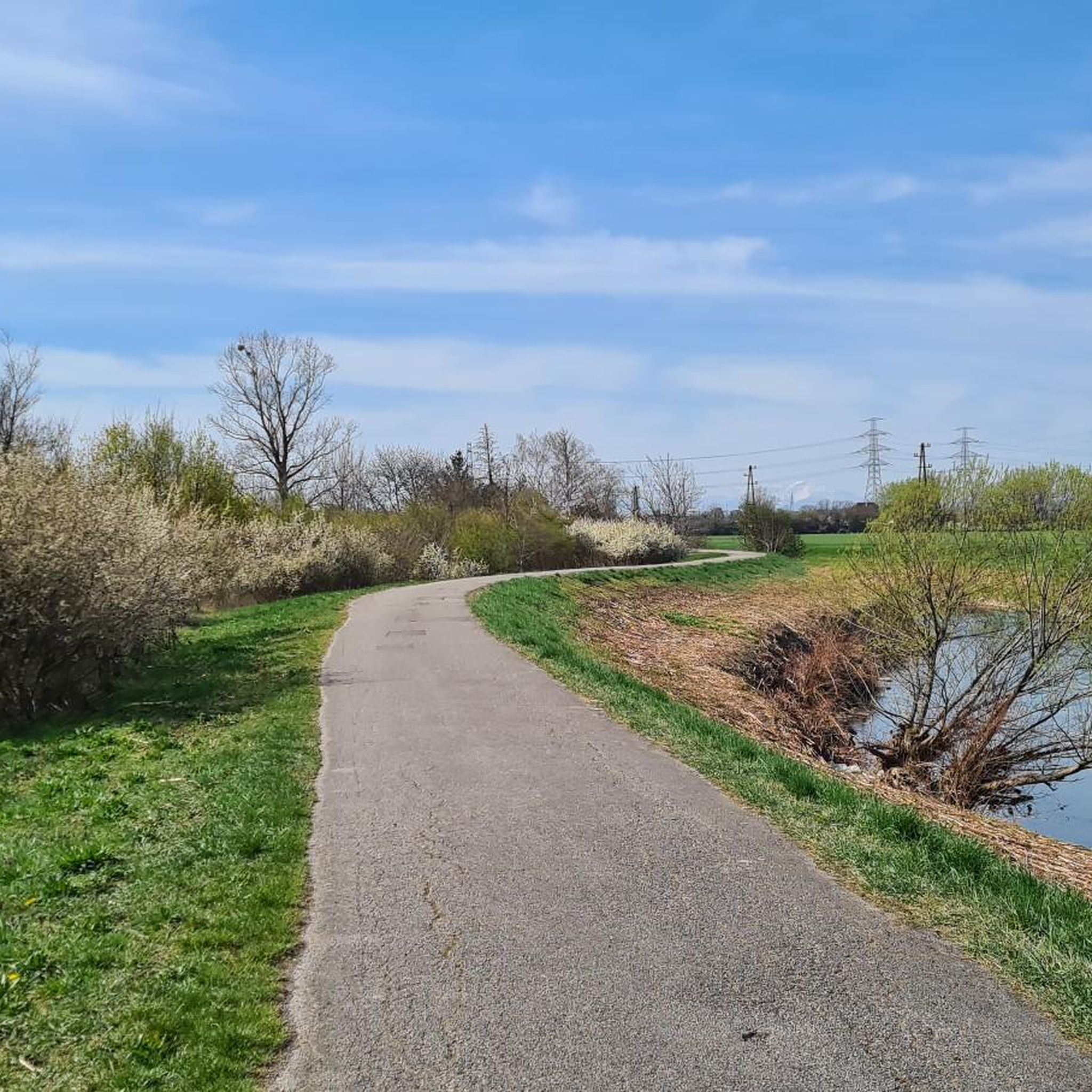
Relaxed path on the edge of the Liesingbach.
1
2

Great cycle paths and beautiful nature
0
1
Frequently Asked Questions
What are some of the most notable natural features around Zwölfaxing?
The area around Zwölfaxing is characterized by its network of rivers, including the Kalter Gang, Mitterbach, and Schwechat. These waterways contribute significantly to the local natural landscape. You can also explore the wider Donau-Auen National Park, which preserves a large floodplain landscape.
Are there family-friendly natural monuments to visit near Zwölfaxing?
Yes, several natural spots are suitable for families. The Liesingbach Restoration area offers green spaces along the water to observe ecological improvements. The Wienerberg Pond is another excellent choice, providing a green recreational area with paths and wildlife observation opportunities. The Southern tip of the Danube Island is also family-friendly, offering views and a place to watch river activity.
Where can I observe wildlife near Zwölfaxing?
For wildlife observation, the Wienerberg Pond is a great spot, known for being a habitat for numerous bird species, including great reed warblers and little bitterns, especially in its reed beds. Additionally, the Josefsteg Bridge within the Donau-Auen National Park is highly recommended for observing nature and animals, particularly European pond turtles.
What kind of natural landscapes can I expect to see?
You can expect diverse landscapes, from riparian ecosystems along the Kalter Gang, Mitterbach, and Schwechat rivers to the extensive floodplain forests of the Donau-Auen National Park. The Wienerberg Pond offers a unique landscape of an artificially created lake surrounded by reeds, providing a green oasis within the urban fringe.
Are there opportunities for cycling near Zwölfaxing's natural areas?
Yes, the Liesingbach Cycle Path, particularly the section from Oberlaa to Kledering, offers a pleasant cycling experience through scenic natural areas. For more extensive road cycling, you can explore routes like the 'Sängerrast Picnic Area – Mitterbach Canal Cycling Path loop from Schwechat' or the 'Schwadorfer Kipferl – Mitterbach Canal Cycling Path loop from Lanzendorf-Rannersdorf'. Find more options on the Road Cycling Routes around Zwölfaxing guide.
What hiking trails are available around Zwölfaxing's natural monuments?
There are several easy hiking trails available. You can enjoy routes like the 'Rothmühle Castle – Rathauspark Schwechat loop from Zwölfaxing' or the 'Liesingbach – Rothmühle Castle loop from Zwölfaxing'. These trails offer a relaxed way to explore the local environment. More hiking options can be found in the Hiking around Zwölfaxing guide.
What is the Liesingbach Restoration project about?
The Liesingbach Restoration is a project by the City of Vienna to redesign the river in a nature-friendly way, creating new habitats for plants and animals while also improving flood protection. Visitors can observe the ecological improvements and enjoy the newly created green spaces along the water.
What is unique about the Confluence of the Triesting and the Schwechat rivers?
The Confluence of the Triesting and the Schwechat rivers is a fascinating spot where several rivers and streams, including the Triesting, Schwechat, Mödlingbach, and Lobenbach, meet. This complex network of waterways is historically significant, with weir systems dating back to Emperor Karl VI and Empress Maria Theresa, rebuilt for flood protection.
What can I do at the Southern tip of the Danube Island?
At the Southern tip of the Danube Island, you can witness where the New Danube meets the main Danube. It's a great place to relax, enjoy impressive views towards Schwechat and the airport, and observe river activity, including ships passing by. It marks the lower end of the Danube Island.
What is the best time of year to visit the natural monuments around Zwölfaxing?
The natural monuments around Zwölfaxing, particularly the riverine landscapes and the Donau-Auen National Park, are beautiful throughout the year. Spring and autumn offer pleasant temperatures for outdoor activities and vibrant natural colors. Summer is ideal for enjoying the green spaces and water features, while winter can provide unique serene views, especially along the waterways.
Are there running trails near these natural monuments?
Yes, there are several running trails. You can find routes such as the 'Rothmühle Castle loop from Schwechat' or the 'Riverside trail – Angel Statue loop from Schwechat'. These trails offer varying distances and moderate difficulty, allowing you to enjoy the natural surroundings while jogging. More options are available in the Running Trails around Zwölfaxing guide.
Most popular routes around Zwölfaxing
Most popular attractions around Zwölfaxing

Get inspired with the komoot mobile app


Explore more
Extend your search for the best caves by checking out these guides of the top ones around Zwölfaxing:
