Top 20 Natural Monuments around Gnadendorf
Best natural monuments around Gnadendorf are found within the Weinviertel region of Lower Austria, featuring the prominent Buschberg and parts of the Naturpark Leiser Berge. This area is characterized by a diverse natural landscape, including forests, dry grasslands, and unique geological formations. Gnadendorf offers opportunities to explore significant natural features and experience regional biodiversity.
Best natural monuments around Gnadendorf
- The most popular natural monuments is Buschberg Summit Cross, a summit that marks the highest elevation in the Leiser mountains.…
Last updated: July 7, 2026
Buschberg Summit Cross
Highlight • Summit
The Buschberghütte, Austria's lowest mountain shelter, is nearby.
Translated by Google •
Tip by

St. Francis of Assisi Chapel on Buschberg
Highlight • Religious Site
Translated by Google •
Tip by

Sign up now to discover places like this
Get recommendations on the best single tracks, peaks, & plenty of other exciting outdoor places.
Sign up for free
Mistelquelle (Source of the Mistelbach)
Highlight • Natural Monument
Translated by Google •
Tip by

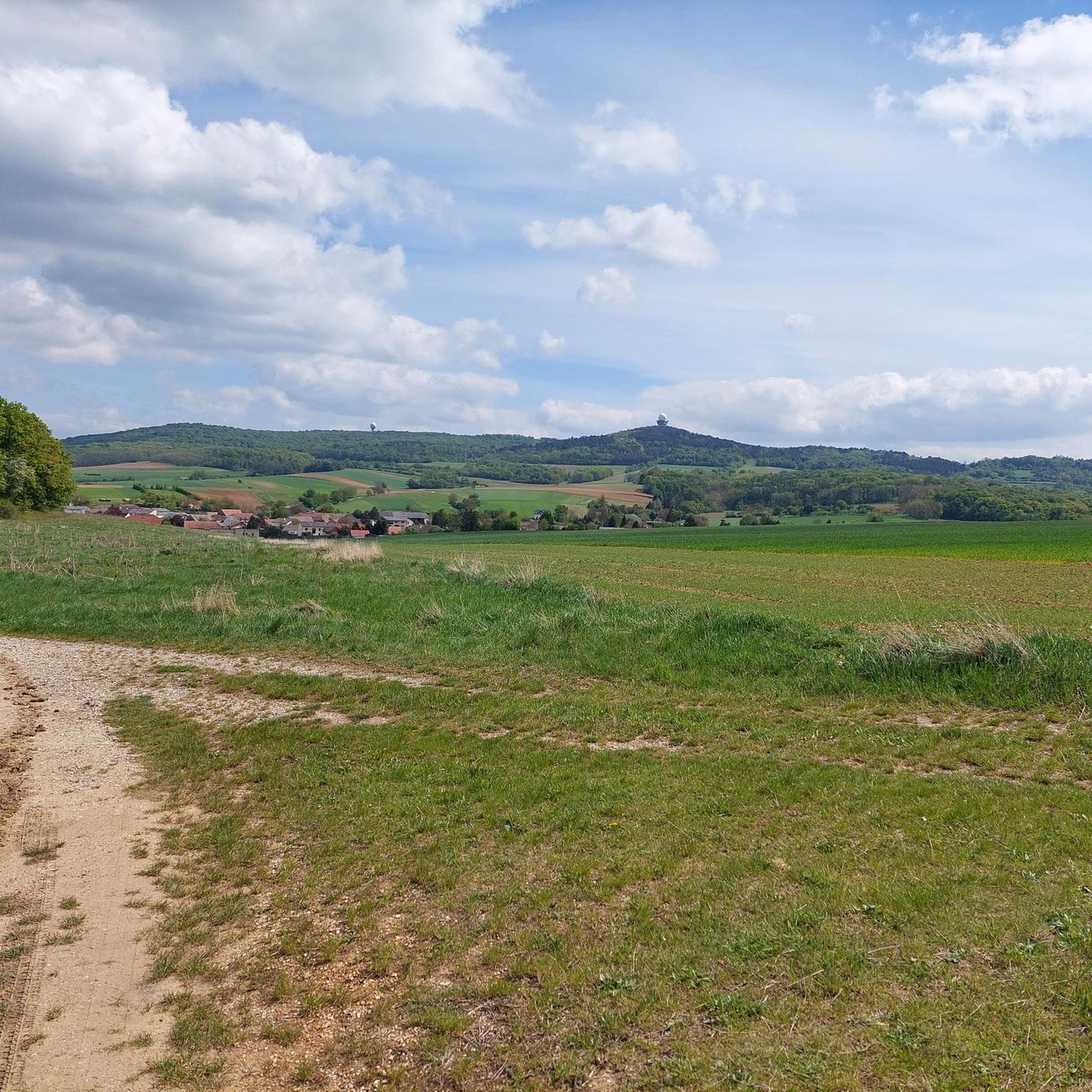
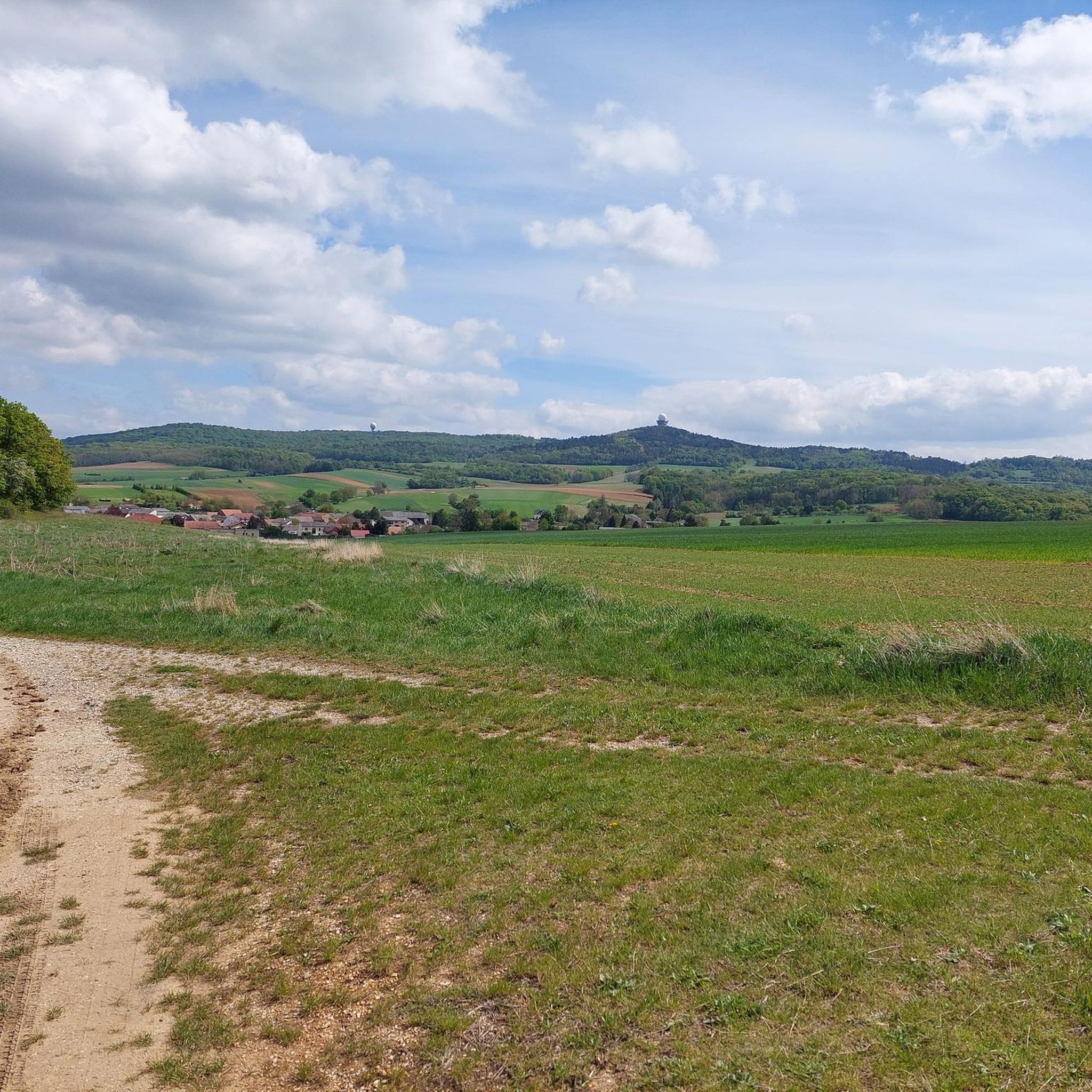
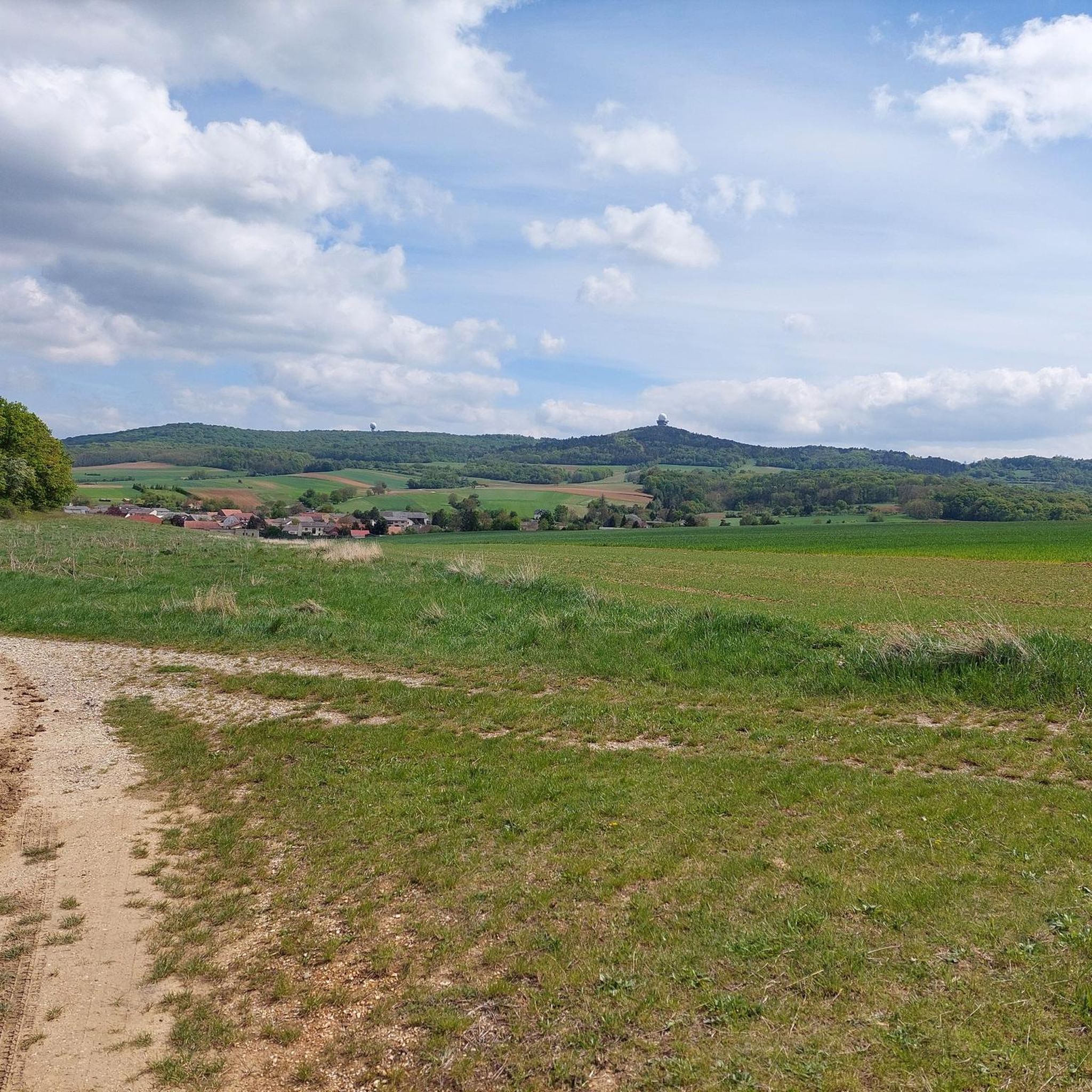
Buschberg Radar Dome (Goldhaube)
Highlight • Monument
Translated by Google •
Tip by

Calvary Hill
Highlight • Religious Site
An extraordinary sight of the market town of Staatz is the Calvary, the "Holy Mountain" in the town of Enzersdorf, located in the west on the federal highway 46. …
Translated by Google •
Tip by

Sign up for free to discover even more natural monuments around Gnadendorf.
Sign up for free
Already have an account?
Start today with a free account
Your next adventure awaits.
Login or Signup
Tips from the Community

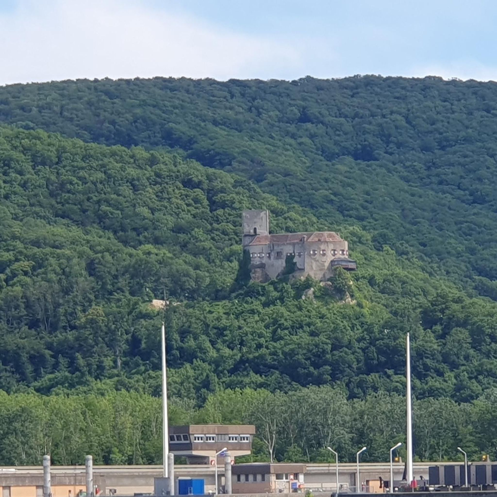
First of all, we would like to thank you for your extremely interesting comments and now share our opinion. As a nature- and culture-friendly community, we have come to the conclusion that the term "desertification" is, in our opinion, a mere exaggeration and that you, dear Mr. Laurenz, have merely used it as a vague umbrella term for the precious, fertile agricultural soil of the Weinviertel. Consider this fountain in this little corner of Eden, but as a timeless testament to the important agricultural advances that have taken place in northern Lower Austria in recent decades. Technical advances in these sectors have revolutionized agriculture and forestry and made life in the countryside easier. Let us leave these primitive times behind us, and with them this spring, which serves as a monument to the past, and look forward with joy to a future full of luxury and abundance.
0
0

A special architectural feature is the 12-sided pyramidal roof. In the tower hangs a bell weighing approximately 35 kg, cast at the Grassmayr bell foundry in Innsbruck and bearing an image of St. Francis.
1
0
The chapel is named after Saint Francis of Assisi, the patron saint of animals, nature, and the environment – fittingly for its location in the nature park. The chapel is located directly on the Weinviertel Way of St. James and serves as a spiritual place of tranquility for pilgrims, hikers, and nature lovers. Today, the chapel is a popular tourist destination and hosts events such as the annual animal blessing ceremony around World Animal Day.
1
0
The chapel was planned and built by the Buschberg local group of the Lower Austrian Mountain and Nature Watch, together with numerous volunteers. The groundbreaking ceremony took place in February 2022, and it was officially inaugurated in the summer of the same year.
1
0
The St. Francis of Assisi Chapel on the Buschberg in the Weinviertel region of Lower Austria was built in 2022. It is located in the Leiser Berge Nature Park near the radar station on the Buschberg, which, at 491 m, is the highest elevation in the region.
1
0

Completely open chapel
0
0

Built by mountain rescue volunteers, WOW
0
0

http://www.staatz.at/Kalvarienberg_Heiliger_Berg_ An extraordinary sight of the market town of Staatz is the Calvary, the "Holy Mountain" in the town of Enzersdorf, located in the west on the federal highway 46. A Calvary was erected in 1743 on the probable local mountain from the 11th century. The "Holy Mountain" is a mound of earth of unknown origin. Two assumptions: The first assumption says that the mound is a burial mound from the Hallstatt period around 750 BC. The second: it is a local mountain from the 11th century. Both possibilities have already been documented with finds, but not proven with certainty.
2
0
Frequently Asked Questions
What unique natural features can I explore around Gnadendorf?
The region around Gnadendorf is characterized by its diverse landscape, including forests, dry grasslands, and unique geological formations. A prominent feature is the Buschberg, the highest elevation in the Weinviertel, known for its oolitic limestone formed in a shallow tropical sea. The area is also part of the Naturpark Leiser Berge, which boasts a significant population of juniper, making it one of Austria's largest occurrences.
Are there any historical natural monuments in the Gnadendorf area?
Yes, the region features several historical sites that are also designated as natural monuments. The Ruins of Staatz Castle, for instance, are situated on a limestone cliff that rises approximately 100 meters above the surrounding area, offering a distinct viewing point and a glimpse into the region's past.
What are the best viewpoints to experience the landscape around Gnadendorf?
For expansive panoramic views, the Buschberg is an excellent choice. From its summit, you can often see across the Vienna Basin to the Schneeberg and Rax mountains on clear days. Another notable viewpoint is the Staatz Castle Ruins and Staatzer Berg, which provides impressive vistas from its rock cone, part of the characteristic Waschberg zone.
Are there family-friendly natural monuments or activities in Gnadendorf?
The Naturpark Leiser Berge, which encompasses parts of Gnadendorf, offers gentle, rolling hills and well-maintained trails suitable for relaxed family hikes. The park also hosts various nature-focused activities like stargazing events and forest experience days. Additionally, the St. Francis of Assisi Chapel on Buschberg is listed as family-friendly.
What kind of hiking trails can I find near the natural monuments?
The area offers a variety of hiking trails. For example, you can find routes like the 'Buschberg Singletrack – Buschberg Summit Cross loop' which is an easy 5.5 km hike. For more options, explore the Hiking around Gnadendorf guide, which includes moderate trails such as the 'Buschberg Summit Cross – Buschberg Hut loop'.
Are there opportunities for cycling or mountain biking near Gnadendorf's natural monuments?
Yes, the region provides options for cycling. You can find gravel biking routes, such as the 'Buschberg Radar Dome – Michelstetten Pond loop from Pyhra,' which is a moderate 15.8 km ride. More routes are available in the Gravel biking around Gnadendorf guide.
What is the Buschberghütte and where is it located?
The Buschberghütte is an Alpine Association hut located near the summit of the Buschberg. It is notable as the lowest-lying hut of its kind in Austria, operating year-round. It serves as a welcoming destination for hikers seeking refreshments or even an overnight stay.
What is the best time of year to visit the natural monuments around Gnadendorf?
The natural monuments around Gnadendorf, particularly the Buschberg, are recommended at any time of the year. The panoramic views are consistently impressive, and the diverse landscapes offer different experiences across the seasons, from lush greenery in spring/summer to clear, crisp views in autumn and winter.
What wildlife can I expect to see in the Naturpark Leiser Berge?
The Naturpark Leiser Berge actively works to preserve its rich biodiversity. Its varied landscape of fields, forests, and dry grasslands supports various animal species dependent on semi-open habitats. While specific species are not detailed, the park's conservation efforts ensure a healthy ecosystem for local wildlife.
What do visitors particularly appreciate about the natural monuments in this area?
Visitors frequently highlight the expansive panoramic views, especially from the Buschberg, which can stretch far across the landscape. The unique geological formations, such as the oolitic limestone of Buschberg and the mighty limestone cliffs of the Staatzer Berg, also draw significant interest. The combination of natural beauty and historical sites like the castle ruins makes for a diverse experience.
Is there a radar station on Buschberg, and can it be visited?
Yes, a radar station for civilian air traffic in Eastern Austria is located on the summit of the Buschberg. While the station itself is not open for public visits, its distinctive 'gold cap' dome is a prominent landmark and can be viewed from nearby trails and viewpoints, such as the Buschberg Radar Dome (Goldhaube).
Are there any easy walking trails suitable for all fitness levels?
Yes, there are several easy walking trails. For instance, the 'Buschberg Singletrack – Buschberg Summit Cross loop from Buschberg' is an easy 5.5 km route. You can find more options for relaxed walks in the Easy hikes around Gnadendorf guide, which includes trails as short as 3 km.
Most popular routes around Gnadendorf
Most popular attractions around Gnadendorf

Get inspired with the komoot mobile app


Explore more
Extend your search for the best caves by checking out these guides of the top ones around Gnadendorf:
