Top 16 Mountain Passes around Rettenschöss
Best mountain passes around Rettenschöss are found within a mountainous landscape offering high-altitude trails and scenic excursions. Rettenschöss, located in Tyrol, Austria, provides access to various peaks and alpine environments. The region features diverse routes for exploring the surrounding Chiemgau Alps and Kaiser Mountains. These areas are known for their extensive vistas and natural features.
Best mountain passes around Rettenschöss
- The most popular mountain passes is Ellmauer Tor (2,078 m), a mountain pass that involves hiking over alpine meadows…
Last updated: September 27, 2026
Ellmauer Tor (1981 m)
Highlight • Mountain Pass
Translated by Google •
Tip by

View of the Zahmer Kaiser
Highlight • Viewpoint
More information: de.wikipedia.org/wiki/Walchsee_(See) and de.wikipedia.org/wiki/Kaisergebirge
Translated by Google •
Tip by

Sign up now to discover places like this
Get recommendations on the best single tracks, peaks, & plenty of other exciting outdoor places.
View of the Kaiser Mountains
Highlight • Viewpoint
Translated by Google •
Tip by

Tiroler Achen Gorge
Highlight (Segment) • Gorge
Translated by Google •
Tip by

Saddle between Haberspitz and Hochplatte
Highlight • Mountain Pass
Translated by Google •
Tip by

Sign up for free to discover even more mountain passes around Rettenschöss.
Already have an account?
Start today with a free account
Your next adventure awaits.
Popular around Rettenschöss
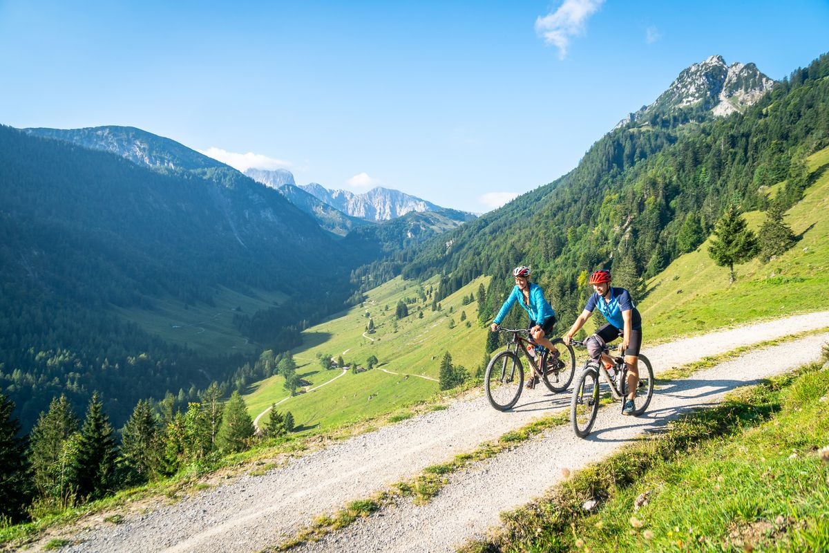
5 insider tips in Austria — wonderful MTB tours in Kaiserwinkl
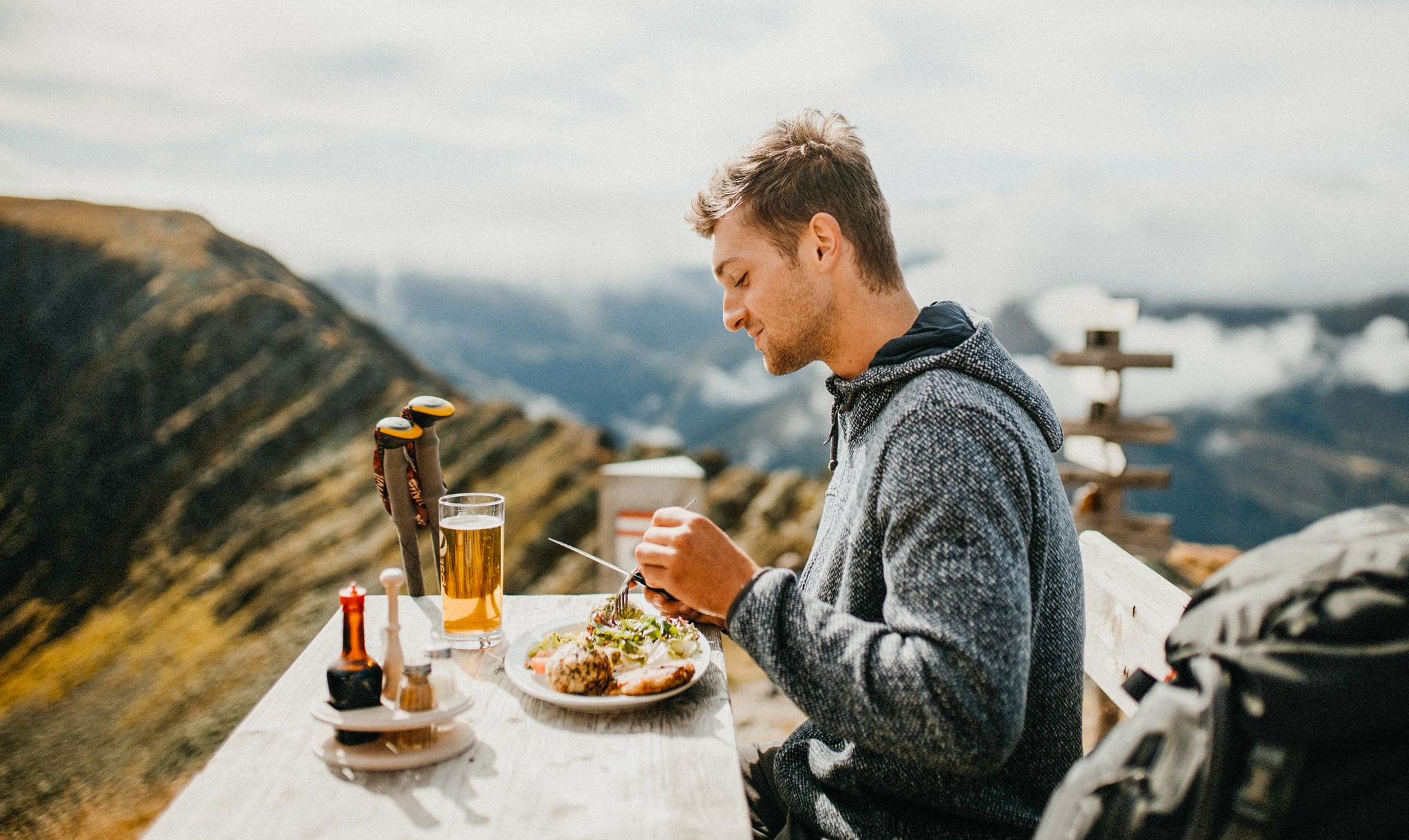
Mountain pastures and local dishes — hiking to the Tyrolean alpine huts
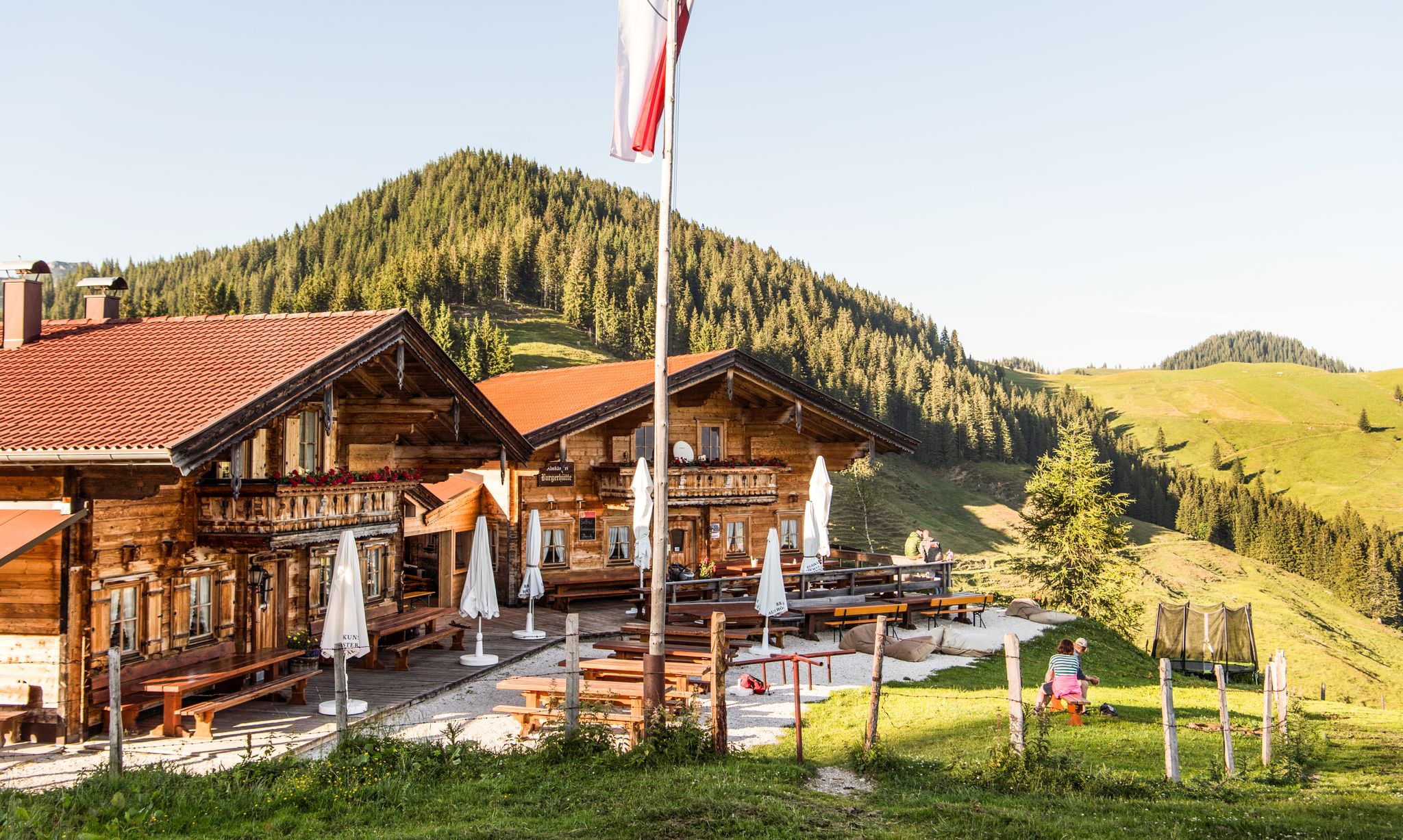
For mountaineers and gourmets – Tyrolean hikes for foodies
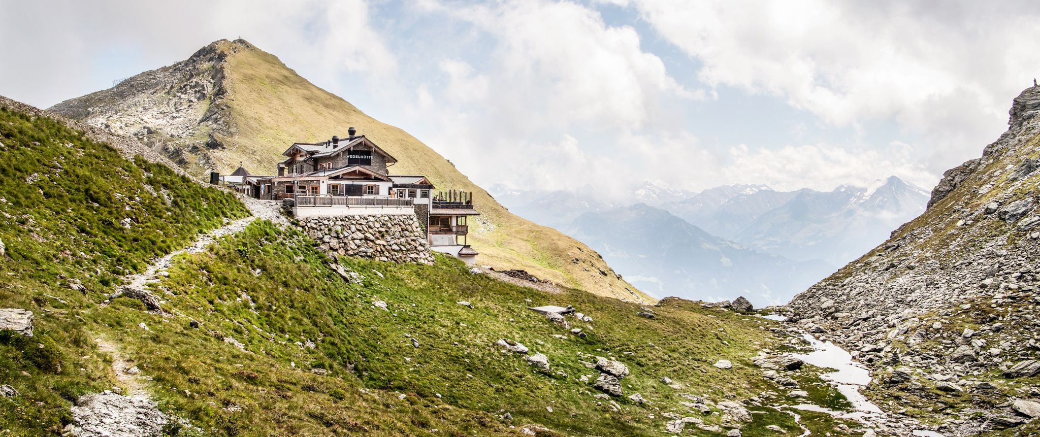
Amazing hiking & gourmet feasts – Taste of Place tours in Tyrol
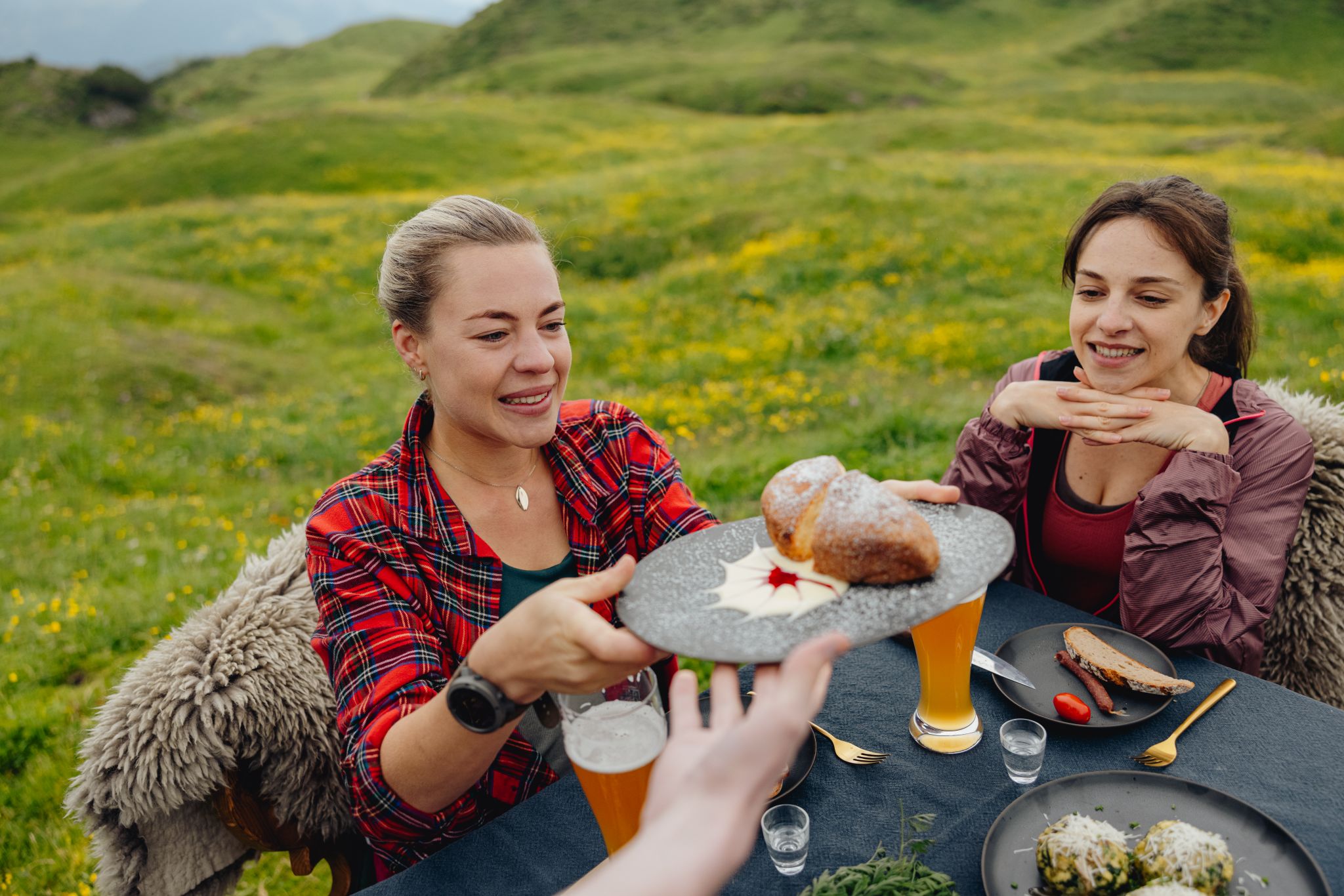
Alles außer gewöhnlich – Tirol für Genießer
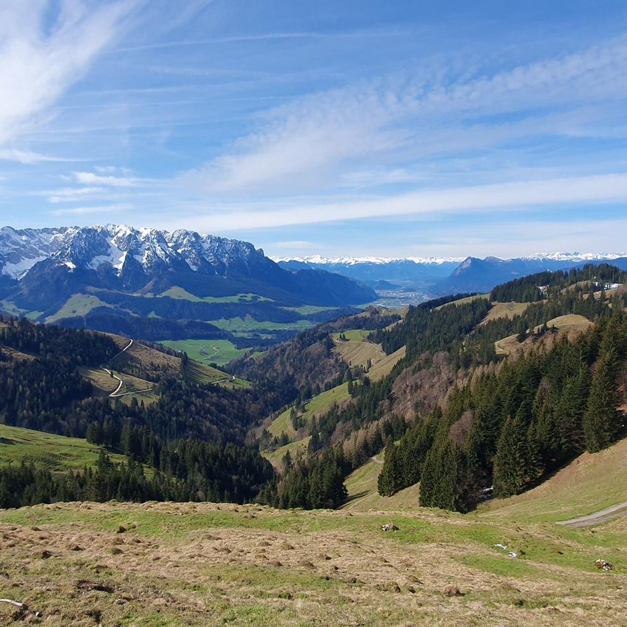
MTB Trails around Rettenschöss
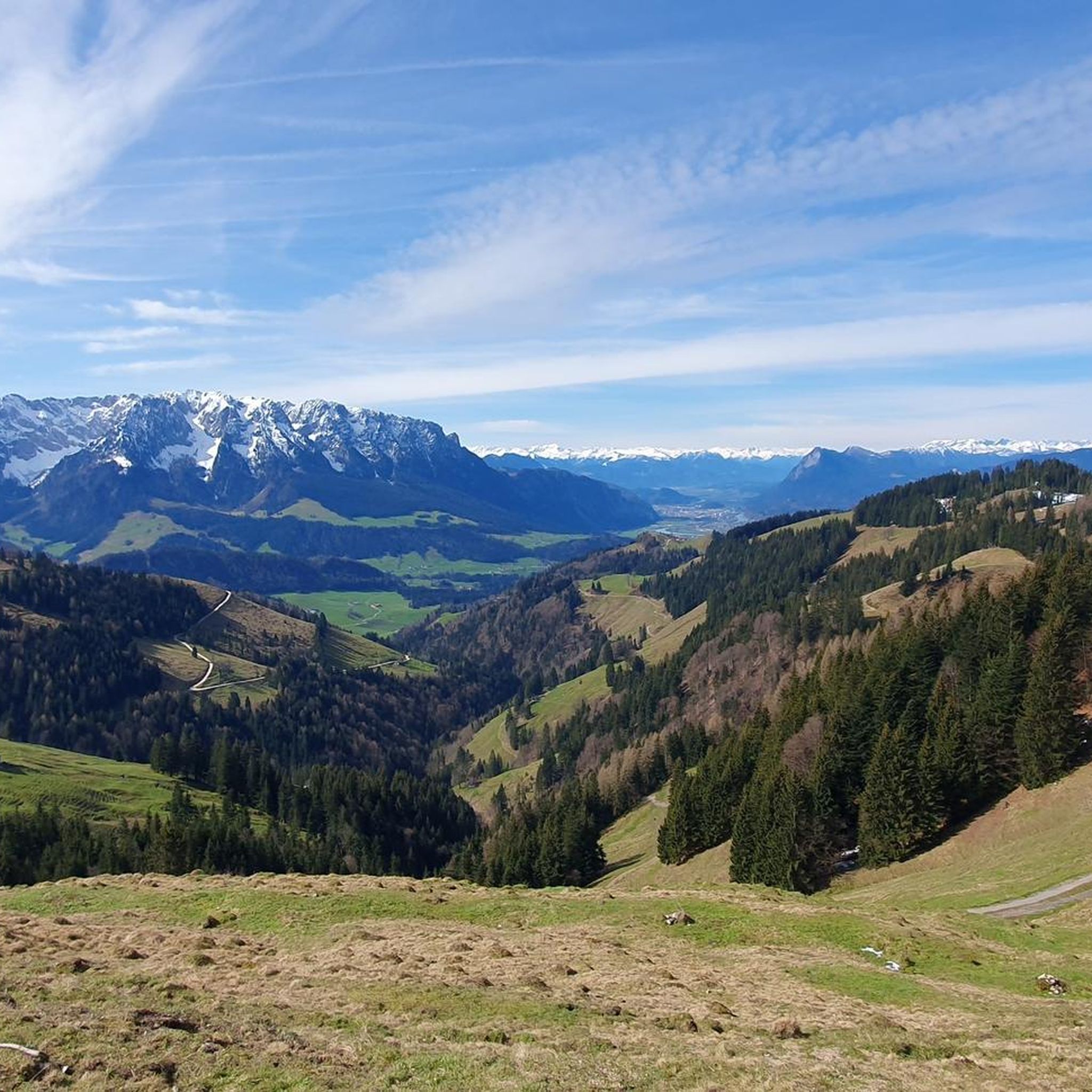
Road Cycling Routes around Rettenschöss
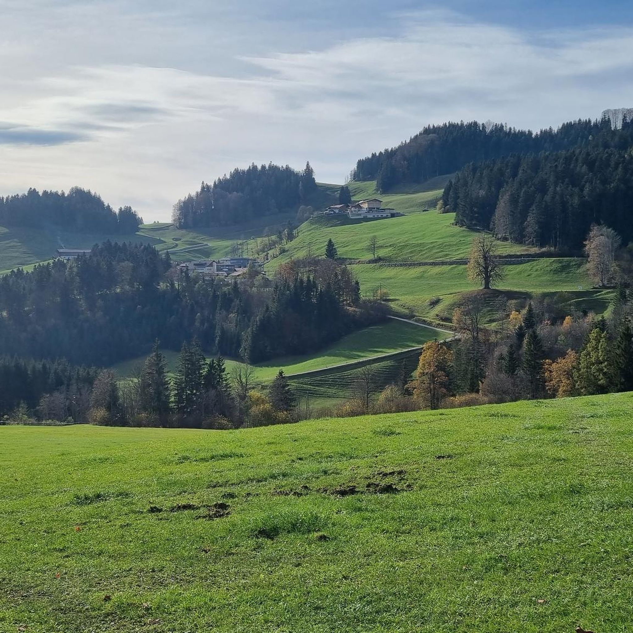
Hiking around Rettenschöss
Cycling around Rettenschöss
Mountain Hikes around Rettenschöss
Other adventures around Rettenschöss


Tips from the Community

beautiful 😉👍
0
0

Beautiful path with great views all around
1
0


Very nice view if the weather is right
0
0

Make sure your lights are in order. It is striking that the car drivers and truck drivers pass by with plenty of space, they could learn something from that in the Netherlands!! I am now using the Garmin laser rear light, recommended! Try to help oncoming traffic by looking far through the bend and signaling them that they can safely overtake.
2
0

Beautiful view and quiet side street
2
0

The reward on the mountain pasture is not long in coming.
1
0

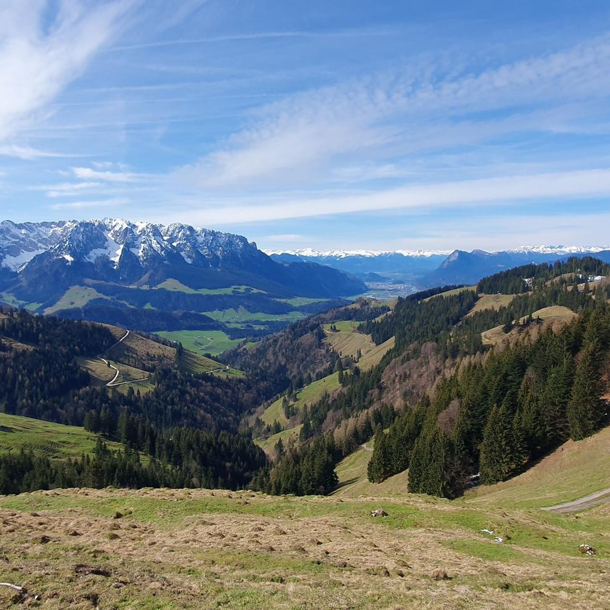
Beautiful view even in spring, you can see the snow.
4
0
Frequently Asked Questions
What are the most challenging mountain experiences around Rettenschöss?
For experienced hikers, the region offers several challenging routes. The Ellmauer Tor (2,078 m) is a popular mountain pass involving alpine meadows and scree fields, requiring sure-footedness and a head for heights. Another demanding option is the Four Summits Tour (Viergipfelrunde von Rettenschöss), which covers multiple peaks like Brennkopf (1,353 m) and Wandberg (1,454 m) over 15.5 kilometers with significant elevation gain, typically taking around 6 hours.
Are there family-friendly mountain passes or viewpoints in the Rettenschöss area?
Yes, the region offers options suitable for families. The View of the Zahmer Kaiser is categorized as family-friendly and provides a stunning landscape vista of Walchsee and the Zahmer Kaiser mountain range. While not a traditional pass, the Wildbichl Alm is also a popular destination that can be reached via routes of varying difficulty, offering refreshments and panoramic views.
What kind of natural features can I expect to see on mountain passes around Rettenschöss?
The mountain experiences around Rettenschöss are rich in natural beauty. You'll encounter diverse landscapes, from alpine meadows and scree fields near Ellmauer Tor to the impressive Tiroler Achen Gorge with its road winding through a ravine. Many routes offer extensive panoramic views of the Kaiser Mountains, the Inn Valley, and the picturesque Walchsee.
What is the best time to visit the mountain passes and peaks near Rettenschöss?
The mountainous destinations around Rettenschöss are particularly appealing during warmer months when high-altitude trails are more accessible. For challenging hikes like the Ellmauer Tor, starting in the early morning hours is recommended. Generally, late spring to early autumn offers the most favorable conditions for hiking and cycling, ensuring clear paths and pleasant weather for panoramic views.
Are there places to get refreshments or food near the trails?
Yes, the Wildbichl Alm is a highly regarded alpine pasture that serves as a destination or point of interest on several routes from Rettenschöss. It offers refreshments and magnificent views of the Kaiser Mountains and the Inn Valley, making it a popular spot for hikers to stop and recharge.
What outdoor activities can I do near the mountain passes around Rettenschöss?
Beyond exploring the mountain passes themselves, the region offers diverse outdoor activities. You can find easy hikes, such as the 'View of Spitzstein – Wildbichl Alpine Hut loop from Rettenschöss', or more challenging MTB trails like the 'Lake Walchsee – View of Walchsee loop'. For more options, explore the easy hikes around Rettenschöss, MTB Trails around Rettenschöss, and gravel biking routes around Rettenschöss.
What are some notable viewpoints in the Rettenschöss area?
The region is renowned for its panoramic vistas. The View of the Zahmer Kaiser offers an impressive perspective of Walchsee and the surrounding mountains. Another excellent spot is the Saddle between Haberspitz and Hochplatte, which provides sensational views down to Marquartstein and Grassau, as well as the Piesenhauser, Hochalpenkopf, and Kampenwand high pastures.
Are there any specific trails that offer a mix of hiking and cycling opportunities?
Yes, the Karspitze (1,239 m) is a notable peak accessible from Rettenschöss, with popular mountain biking and hiking tours leading to its summit cross. Routes like the 'Rettenschöss - Karspitze - Feistenau' mountain bike tour are categorized as medium difficulty and offer scenic views, often passing by the Wildbichl Alm.
What is the <a href="https://www.komoot.com/highlight/3950297" target="_blank" rel="noopener">Rote Rinn Col</a> like, and what should I know before visiting?
The Rote Rinn Col is a rocky notch with steep slopes, serving as a transition between the northern and southern cliffs of the Wilder Kaiser. It's a challenging route, especially from the Gruttenhütte side, where the terrain is very steep and rope protection is minimal in some places. Sure-footedness and a head for heights are essential, and caution is advised due to potentially life-threatening sections. It offers great views in both directions, including up to the Ellmauer Halt.
What is the Wandberg Summit, and how difficult is the hike?
The Wandberg Summit (1,454 m) is a significant mountain in the Rettenschöss area. A hike to its summit is a popular activity, offering impressive views of the Walchsee loop and the Chiemgau Alps/Kaiserwinkel region. It's considered a moderate hike, requiring good fitness and sure-footedness, with ascents that can take up to 5 hours and involve a significant elevation gain. The summit provides breathtaking vistas, making the effort worthwhile.
Can I find routes that connect Austria and Germany in this area?
Yes, the Tiroler Achen Gorge features an undulating cross-border road that connects Kössen in Austria and Schleching in Germany. This route goes through a ravine with two short tunnels, offering a unique cycling experience on good asphalt.
Most popular routes around Rettenschöss
Most popular attractions around Rettenschöss

Get inspired with the komoot mobile app


Explore more
See even more epic mountain passes by checking out these guides around Rettenschöss:
