Top 20 Natural Monuments around Churwalden
Best natural monuments around Churwalden are situated in the Swiss Alps, presenting a variety of natural attractions and scenic landscapes. This region features significant alpine peaks, historical sites, and river confluences. The area provides opportunities to explore geological formations and protected natural sites.
Best natural monuments around Churwalden
- The most popular natural monuments is Weisshorn Summit (2,653 m), a summit that offers expansive views in all directions. It is accessible via a strenuous hike or a cable car ride. …
Last updated: October 24, 2026
Dreibündenstein Monument
Highlight • Monument
Showing Translation
Tip by

Weisshorn Summit (2,653 m)
Highlight • Summit
Translated by Google •
Tip by

Sign up now to discover places like this
Get recommendations on the best single tracks, peaks, & plenty of other exciting outdoor places.
Confluence of the Vorderrhein and Hinterrhein
Highlight • River
Dominated by Reichenau Castle, the hamlet lies at the confluence of the Vorderrhein and Hinterrhein rivers, making it virtually the birthplace of the …
Translated by Google •
Tip by

Aclatobel Nature Forest Reserve
Highlight (Segment) • Forest
The Aclatobel natural forest reserve was established in 2009 for 50 years through contracts between the owners and the canton of Grisons and Pro Natura. …
Translated by Google •
Tip by

Pflüda Natural Forest Reserve
Highlight • Forest
The forest area of the "Pflida" natural forest reserve lies on the southern flank of the Calanda massif. The northern boundary is formed by the upper …
Translated by Google •
Tip by
Sign up for free to discover even more natural monuments around Churwalden.
Already have an account?
Start today with a free account
Your next adventure awaits.
Popular around Churwalden
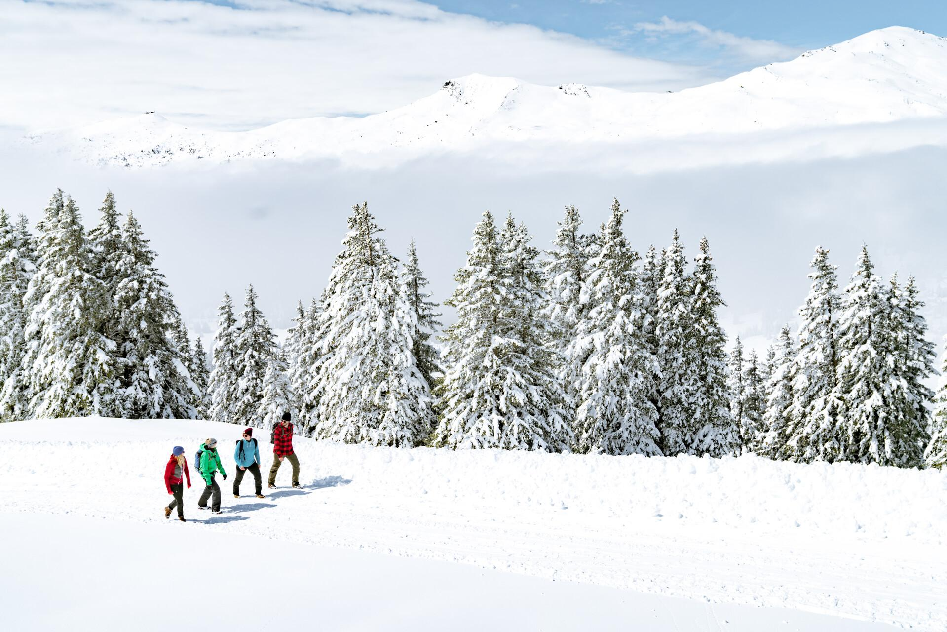
Immerse yourself in Lenzerheide's winter wonderland
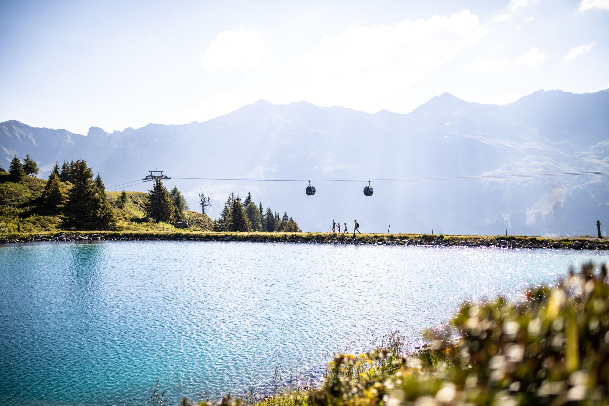
From the peaks to the cool waters – Coolcation Lenzerheide
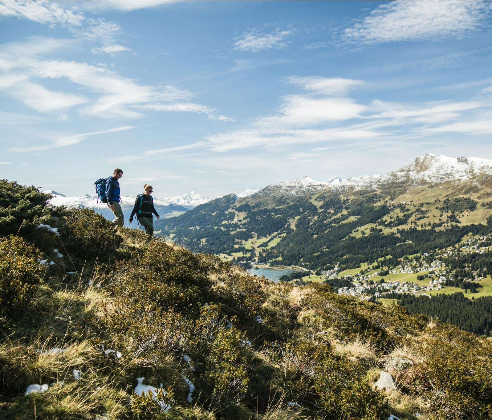
Diverse natural beauty – autumn hiking in Lenzerheide
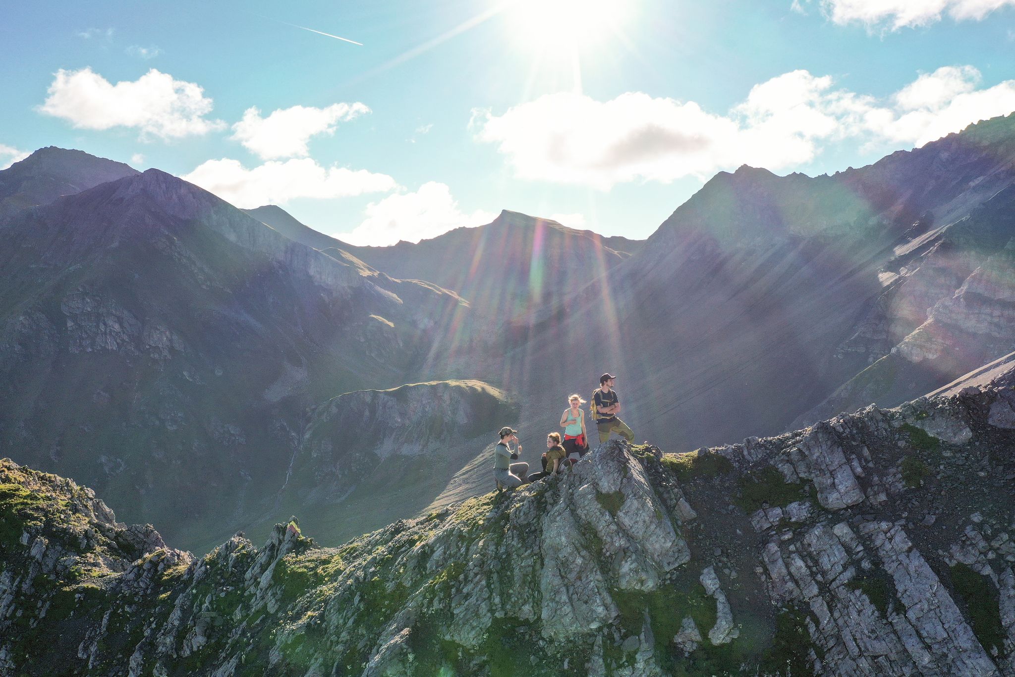
Satisfy your wanderlust in the Lenzerheide region
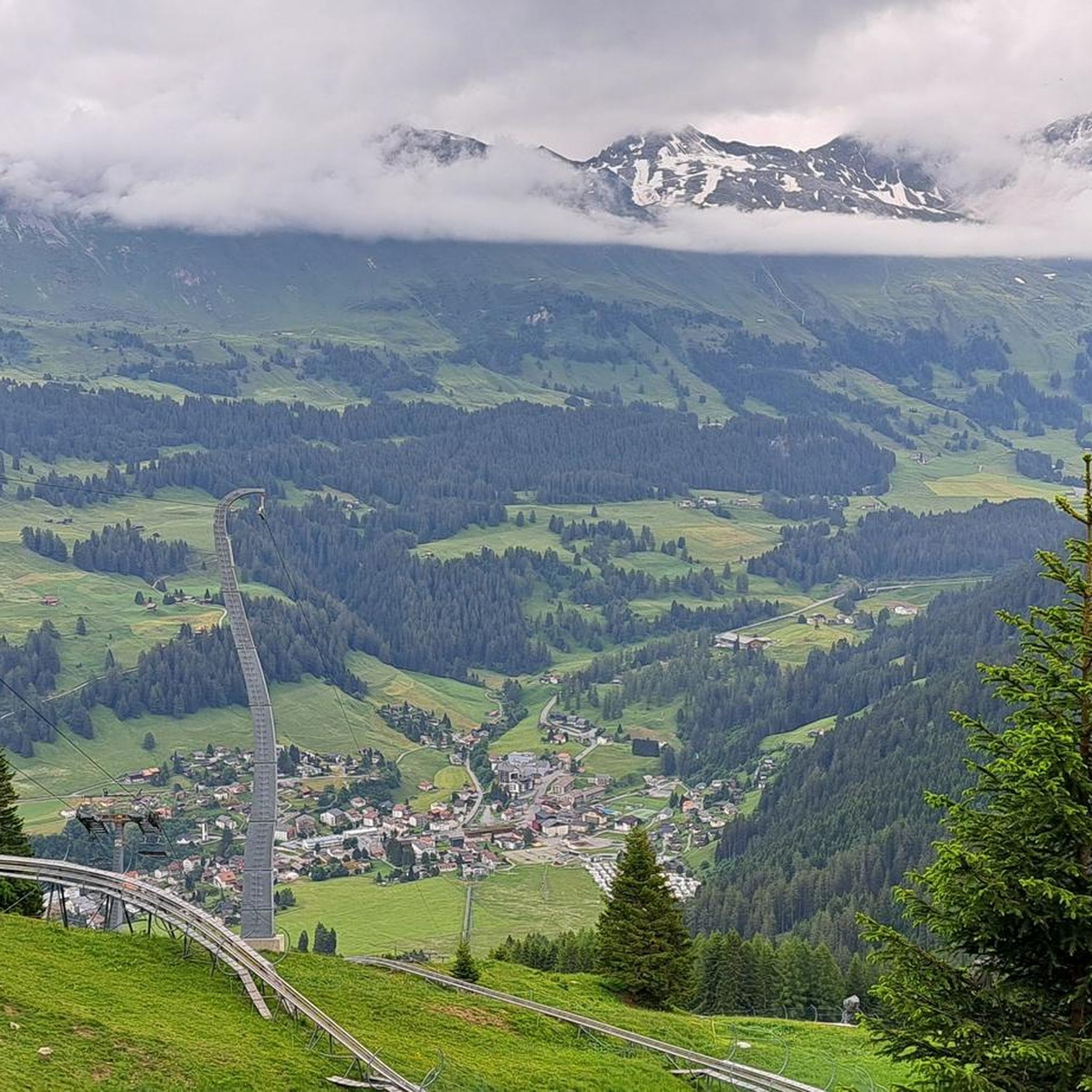
Hiking around Churwalden
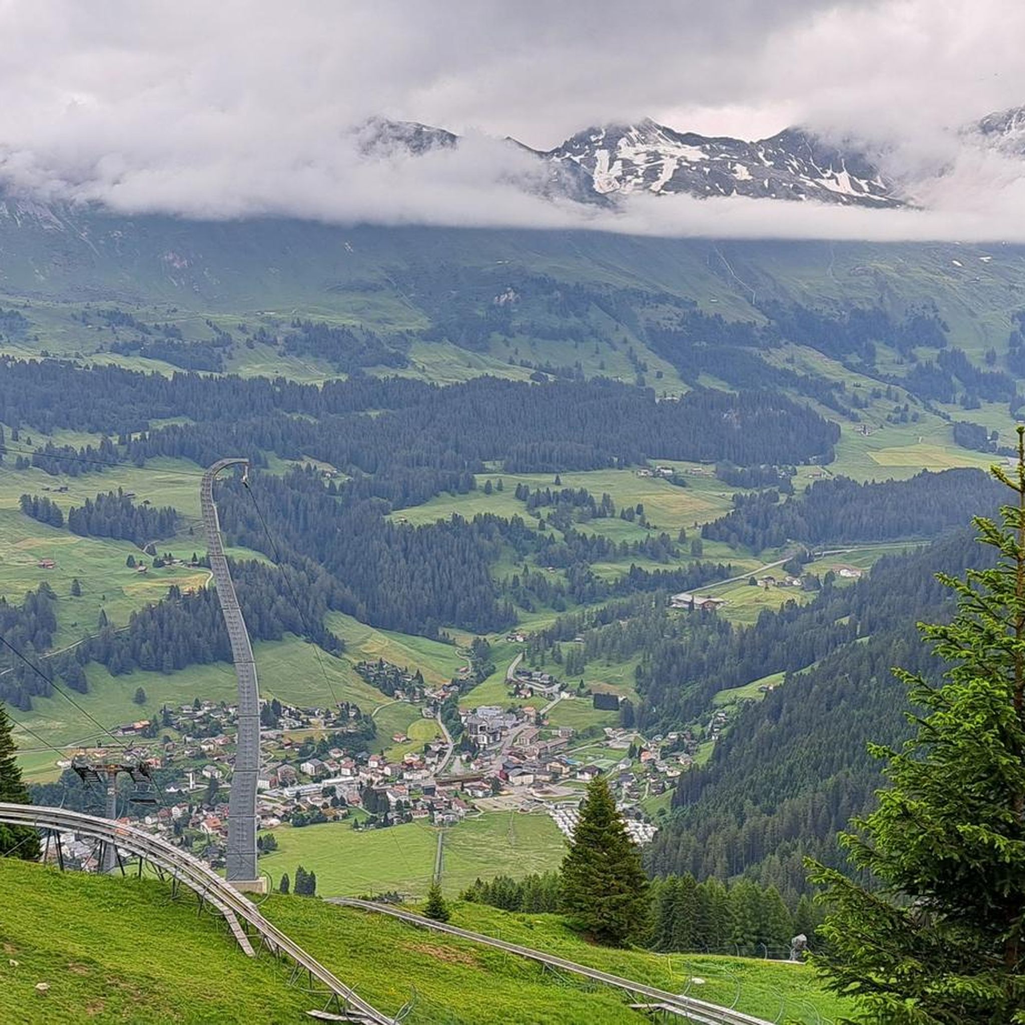
Road Cycling Routes around Churwalden
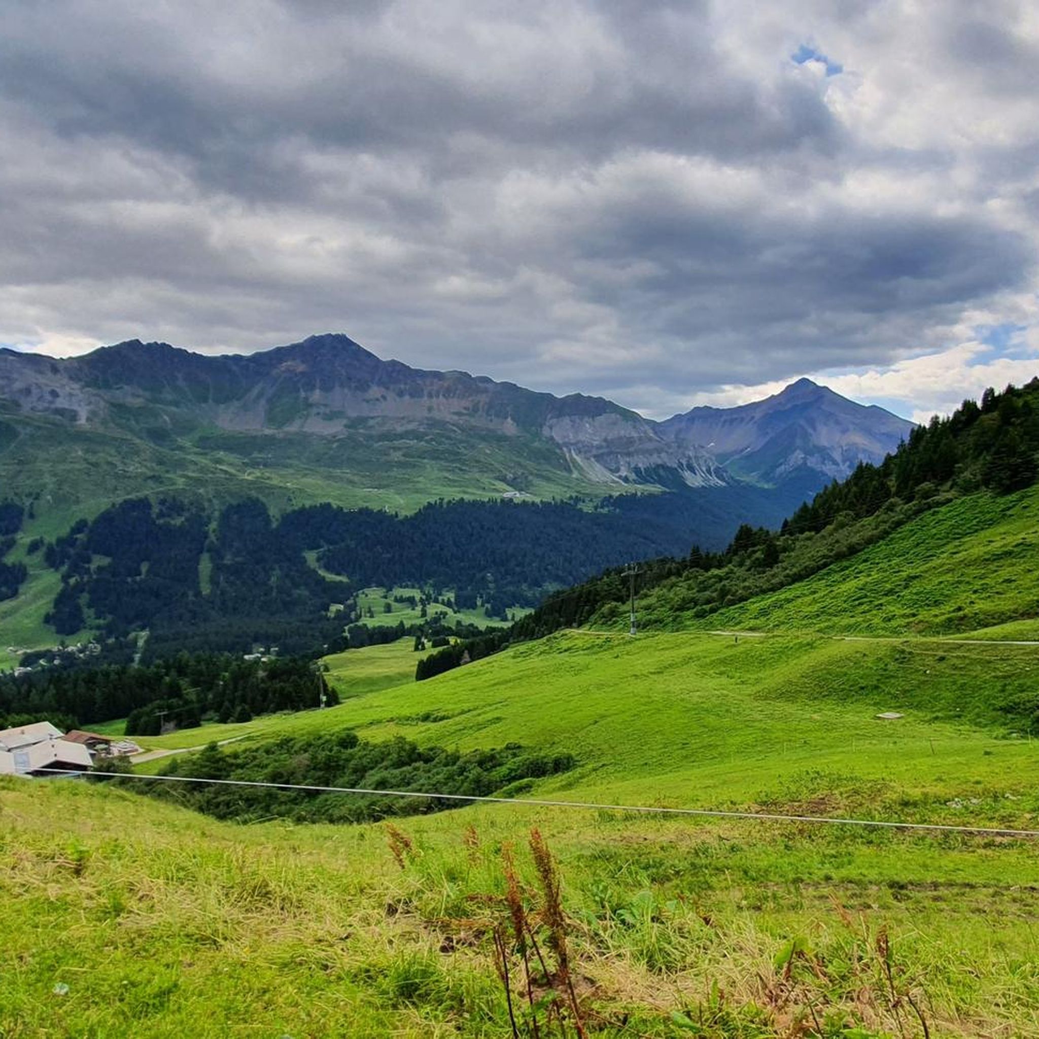
MTB Trails around Churwalden
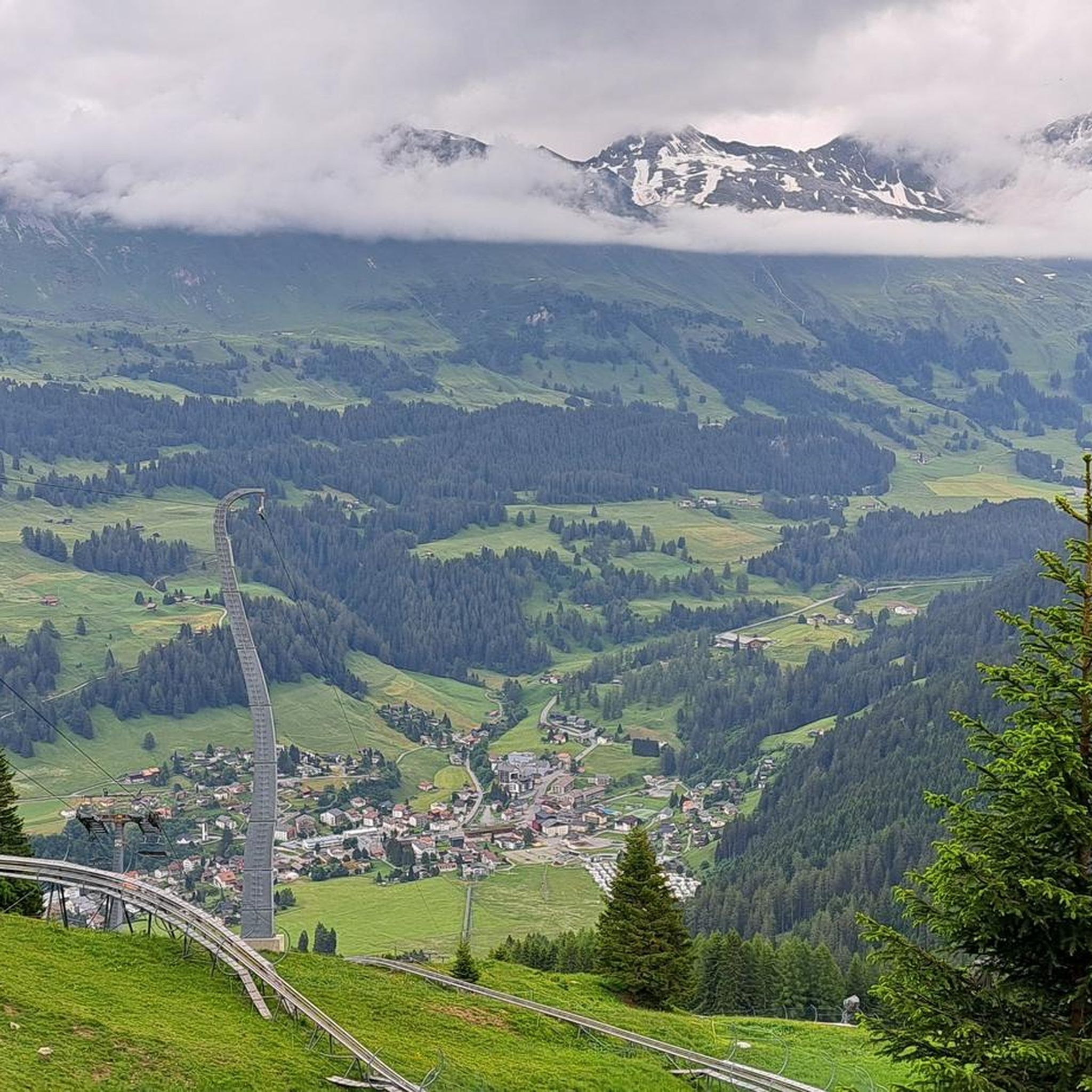
Cycling around Churwalden
Gravel biking around Churwalden
Running Trails around Churwalden
Other adventures around Churwalden

Tips from the Community

Reached the top, enjoy the view and then consider where to go next
0
0

Cable car with bike transport in 2 sections to the Weisshorn summit
0
0

A place of power in a special class
0
0

Prepare for a long, exhausting but amazing 2000 descent!
0
0

Ruinaulta Rhine Gorge The Ruinaulta, or Rhine Gorge, is a gorge of the Vorderrhein River, up to 400 meters deep and approximately 13 kilometers long, between Ilanz and the mouth of the Hinterrhein River near Reichenau in the canton of Graubünden in Switzerland. The Romansh name 'Ruinaulta' is composed of the two words ruina (scree slope, quarry) and aulta (high). The Ruinaulta was formed after the Flims Landslide almost 10,000 years ago. At that time, over 10 billion cubic meters of rock broke off between the Flimserstein and Piz Grisch, burying the Vorderrhein Valley between the present-day villages of Castrisch and Reichenau under a mass of debris several hundred meters thick. Because the Vorderrhein River could no longer drain away, a lake was dammed over a length of approximately 25 kilometers. Over time, the river cut deep into the landslide, and the resulting lake drained away completely. What remained was the Ruinaulta, with its steep limestone scree cliffs in impressive erosion formations. Text / Source: Wikipedia https://de.wikipedia.org/wiki/Ruinaulta
16
0
Pflida Natural Forest Reserve The forest area of the "Pflida" natural forest reserve lies on the southern flank of the Calanda massif. The northern boundary is formed by the upper edge of the rocky slope at the transition to the Taminser Älpli. To the east, the reserve borders the Adlachöpf on Felsberg soil. To the west, the rocky peak between Foppachopf and Foppa-Stein forms the boundary. To the south, there is no natural boundary, but rather a management boundary. 1. Size and Proportion of Forest The reserve covers an area of 114 hectares. According to the stand mapping, around 80 hectares of this is productive high forest. 1. Accessibility / Access The reserve can be reached on foot via the Walderweg, from Felsberg via Zaldei and Tschingels Goldgruoben in approximately 1.5 minutes, and from Tamins via Benis Boden to Buochenen Boden in approximately 60 minutes. 2 Objectives of the Natural Forest Reserve The objectives of the Natural Forest Reserve are: − To allow natural forest development on special dry sites in the montane zone by avoiding management. − To protect and promote rare plant and animal species, especially those that benefit from undisturbed, natural forest development. − To allow a high proportion of old and dead wood (standing and lying), thus protecting the habitat of many rare xylobionts (wood-feeding insects), fungi, and lichens living in the forest. − Create a demonstration of natural forest dynamics for research and permit scientific work in the natural forest reserve. − Provide the public with appropriate on-site information. Text / Source: Canton of Graubünden, Office for Forests and Natural Hazards https://www.gr.ch/DE/institutionen/verwaltung/diem/awn/dokumente_oeko/nwr_23_Pflida.pdf
16
0
Confluence of the Vorderrhein and Hinterrhein, Reichenau Dominated by Reichenau Castle, the hamlet lies at the confluence of the Vorderrhein and Hinterrhein rivers, making it virtually the birthplace of the Rhine. It all began 10,000 years ago. Between the Flimserstein (a high plateau) and Piz Grisch, over 10,000 cubic meters of rock broke off and thundered down into the valley. Towards Reichenau, the Vorderrhein valley disappears under a gigantic mass of rubble. From there, the Rhine diligently ate its way through the rock, creating the spectacular Swiss "Grand Canyon" – the Ruinaulta. Text / Source: myswitzerland.com https://www.myswitzerland.com/de-ch/erlebnisse/route/vom-zusammenfluss-der-rheine-in-die-rheinschlucht/
16
0

Top view into the distance and of Arosa
0
0
Frequently Asked Questions
What natural features can I explore around Churwalden?
Churwalden offers a diverse range of natural features, from majestic alpine summits like the Weisshorn Summit (2,653 m), which provides expansive views, to significant river confluences such as the Confluence of the Vorderrhein and Hinterrhein, considered the birthplace of the Rhine. You can also discover protected forest reserves like the Aclatobel Nature Forest Reserve.
Are there family-friendly natural monuments or activities in the Churwalden area?
Yes, several natural attractions are great for families. The Confluence of the Vorderrhein and Hinterrhein is noted as family-friendly. Additionally, the region research mentions nature trails like the 'Wetterwichtelweg Heidbüel' and the 'Dragon Gold' puzzle route, which are designed to be entertaining and educational for children, offering interactive elements.
What kind of outdoor activities can I do near the natural monuments?
The area around Churwalden is ideal for various outdoor activities. You can find numerous hiking trails, including routes to summits like the Weisshorn. There are also MTB trails and running trails available. For a more relaxed experience, Heidsee, a picturesque mountain lake nearby, is perfect for boat rides or picnics.
Are there historical sites among the natural monuments?
Yes, the Dreibündenstein Monument is a significant historical site and natural monument. Located at an altitude of 2,156 meters, it marks the former triple border point of the Free State of the Three Leagues and features a replacement stone from 1915 bearing the coats of arms of these leagues.
What are the views like from the summits around Churwalden?
The summits in the Churwalden area offer breathtaking panoramic views. From the Weisshorn Summit (2,653 m), you can expect expansive views in all directions, making it a prime location for photography. The Parpaner Rothorn Summit also provides stunning vistas of the surrounding peaks and valleys.
Can I access some of the natural monuments by cable car?
Yes, for some of the higher natural monuments, cable car access is available. Both the Weisshorn Summit (2,653 m) and the Parpaner Rothorn Summit can be reached by cable car, offering a relaxed journey to enjoy the alpine scenery without a strenuous hike.
Are there protected forest areas to visit near Churwalden?
Absolutely. The Aclatobel Nature Forest Reserve is a notable protected area established in 2009. It spans 370 hectares and covers a wide range of elevations and forest communities, making it ecologically diverse. Another significant area is the Pflüda Natural Forest Reserve, located on the southern flank of the Calanda massif, which aims to promote natural forest development and protect rare species.
What do visitors enjoy most about the natural monuments around Churwalden?
Visitors frequently praise the spectacular views from the summits, especially from the Weisshorn Summit, describing them as 'fantastic' and 'very nice.' The historical significance of sites like the Dreibündenstein Monument also resonates with many. The diverse natural features, from alpine peaks to river confluences, are highly appreciated by the komoot community, with many photos and upvotes shared.
Are there any easy hiking trails to natural monuments?
Yes, there are options for easier hikes. While some summits require strenuous effort, the region also offers trails suitable for a more relaxed pace. For instance, the '738 Heidbüel-Tgantieni high-level trail' is rated as moderate, and the 'Heidbüel – Weather Garden loop' is also moderate, providing accessible ways to experience the natural beauty. You can find more details on hiking around Churwalden.
Can I bring my dog on trails near the natural monuments?
While specific regulations for each natural monument are not detailed, generally, dogs are welcome on many hiking trails in Graubünden. It is always recommended to keep dogs on a leash, especially in nature reserves, near wildlife, or on popular paths. Always check local signage for specific rules at each location.
What is the best time to visit the natural monuments around Churwalden?
The best time to visit largely depends on the activities you plan. Summer and early autumn (June to October) are ideal for hiking and enjoying the full alpine landscape, with pleasant temperatures and accessible trails. For winter sports enthusiasts, the snowy months offer a different kind of beauty, though some trails and higher elevations may be less accessible or require specific winter gear.
Are there any unique geological features to see?
Yes, the region boasts unique geological formations. The Confluence of the Vorderrhein and Hinterrhein is particularly significant as it marks the beginning of the Ruinaulta Rhine Gorge, often called the 'Swiss Grand Canyon.' This spectacular gorge was carved out by the Rhine river after the massive Flims Landslide nearly 10,000 years ago, creating impressive erosion formations and steep limestone cliffs.
Most popular routes around Churwalden
Most popular attractions around Churwalden

Get inspired with the komoot mobile app


Explore more
Extend your search for the best caves by checking out these guides of the top ones around Churwalden:
