Top 15 Mountain Passes around Maishofen
Best mountain passes around Maishofen are found in a wide valley basin in the Austrian Alps, offering diverse mountaineering and hiking opportunities. The region features scenic mountain trails leading to impressive summits, providing varied experiences for outdoor enthusiasts. These routes, often referred to as mountaineering routes or hiking paths, serve as the primary passes through the local mountainous terrain. The area's topography includes rugged crags, rolling alpine meadows, and views of Lake Zell.
Best mountain passes around Maishofen
- The most…
Last updated: October 10, 2026
Off to the sea – to the Steinerne Meer
Highlight • Natural Monument
Translated by Google •
Tip by

Rohrer Törl
Highlight • Mountain Pass
Translated by Google •
Tip by

Sign up now to discover places like this
Get recommendations on the best single tracks, peaks, & plenty of other exciting outdoor places.
View of the Leoganger Steinberge
Highlight • Viewpoint
Translated by Google •
Tip by

Kesselscharte (1,844 meters)
Highlight • Mountain Pass
Translated by Google •
Tip by

Elves' Forest Trail
Highlight • Trail
Translated by Google •
Tip by

Sign up for free to discover even more mountain passes around Maishofen.
Already have an account?
Start today with a free account
Your next adventure awaits.
Popular around Maishofen
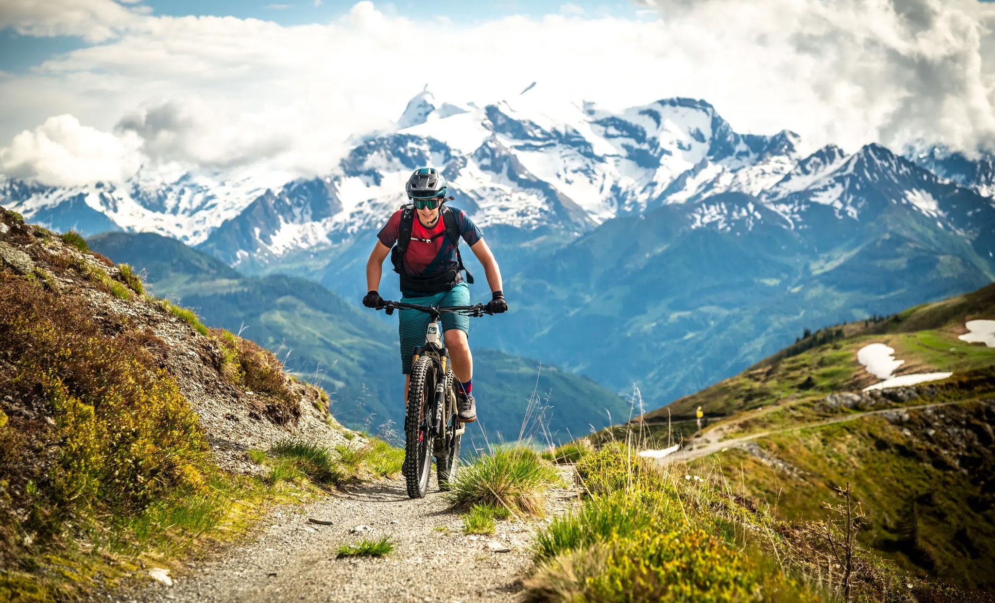
Maishofen on two wheels – MTB experiences with a dreamy backdrop
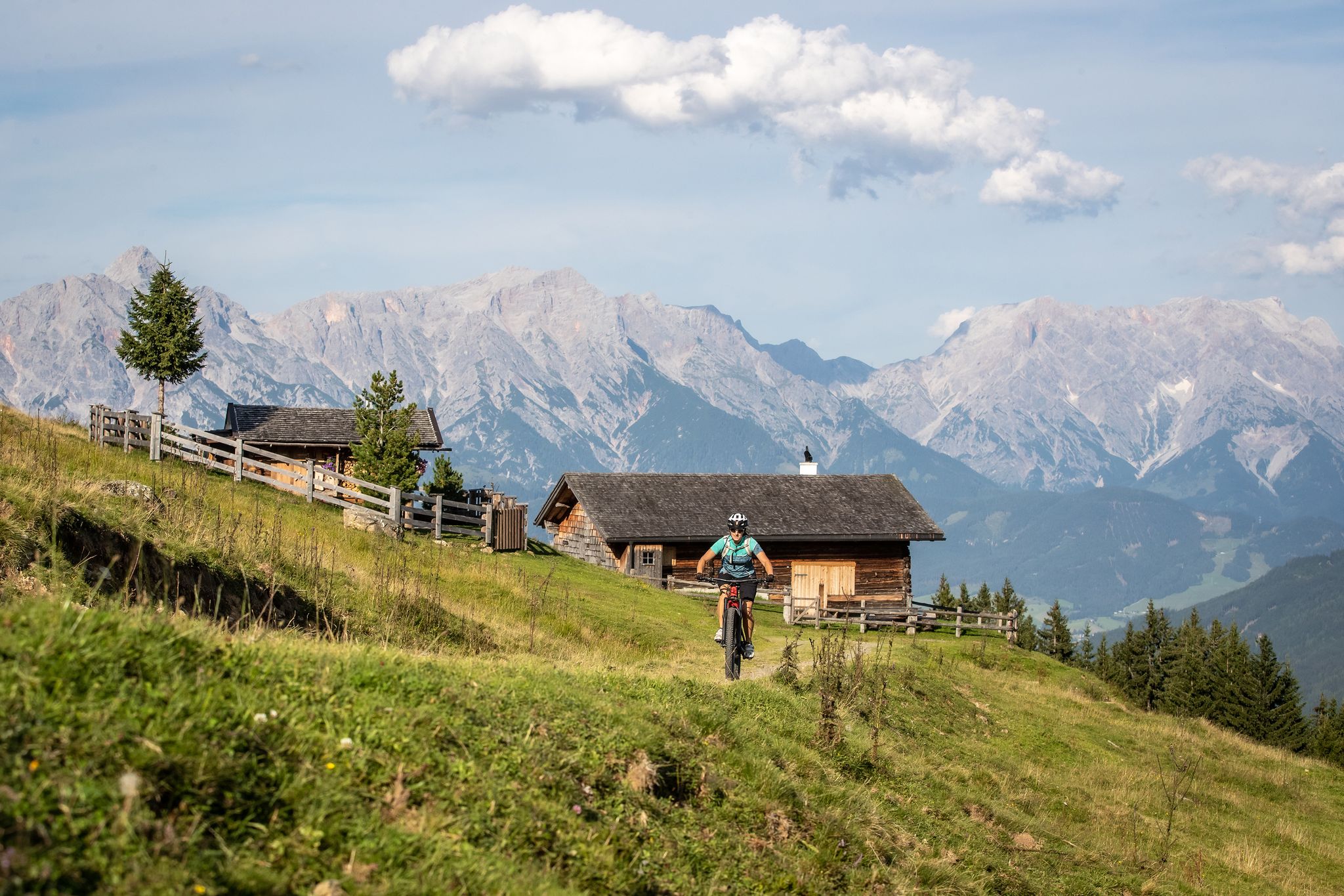
A little jewel on a grand scale – MTB around Maishofen
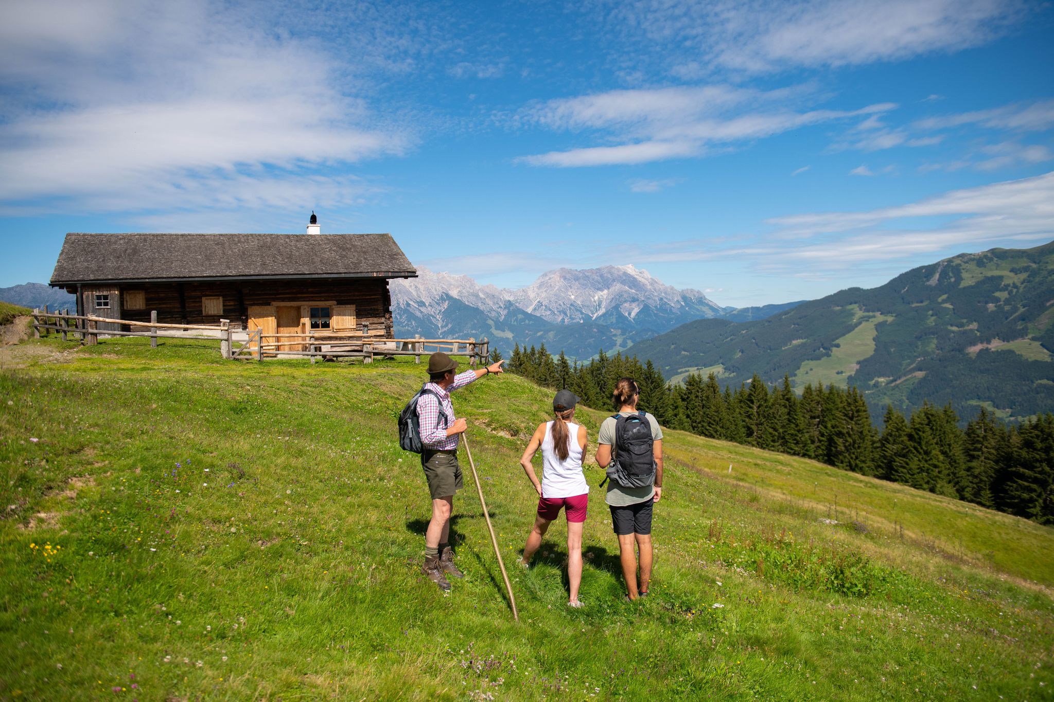
Insider tips at Lake Zell – hike in Austria’s Maishofen
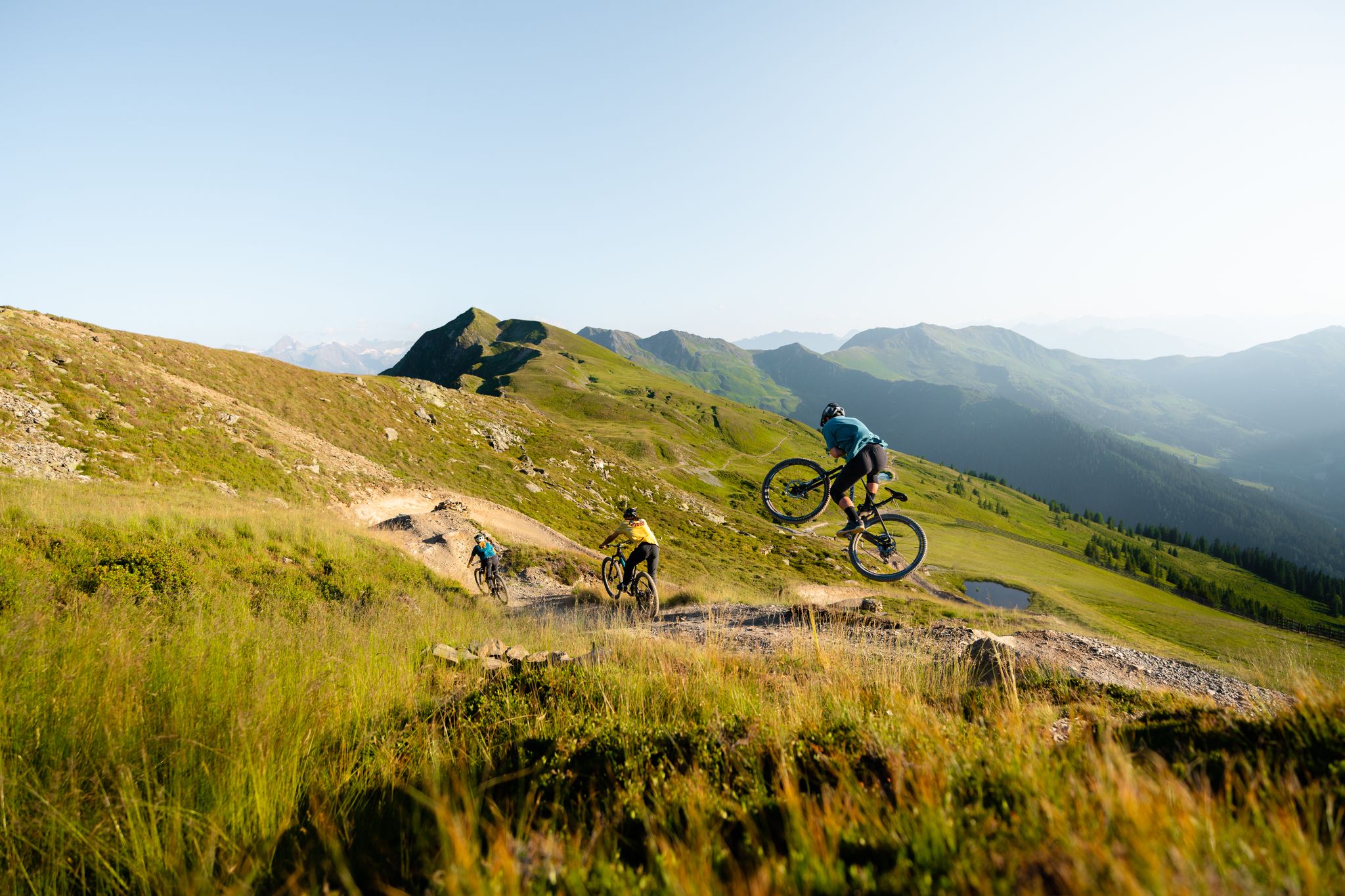
Trail fun in Saalbach – Austria's largest MTB region
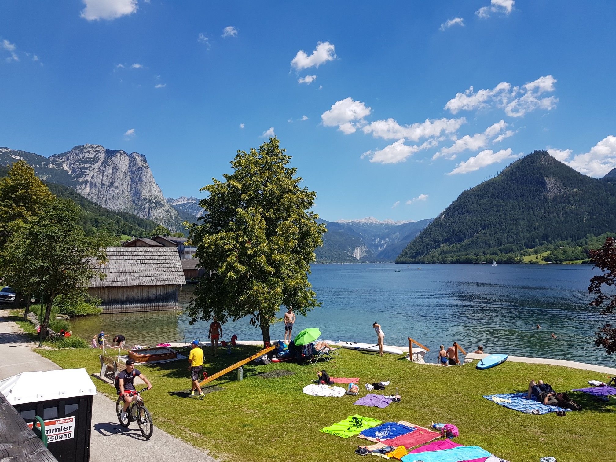
Austria's sensational swimming lakes

Gravel biking around Maishofen
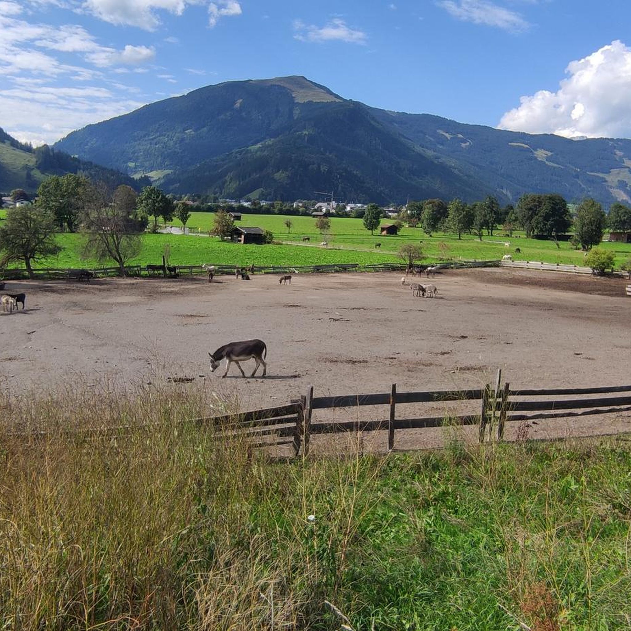
MTB Trails around Maishofen
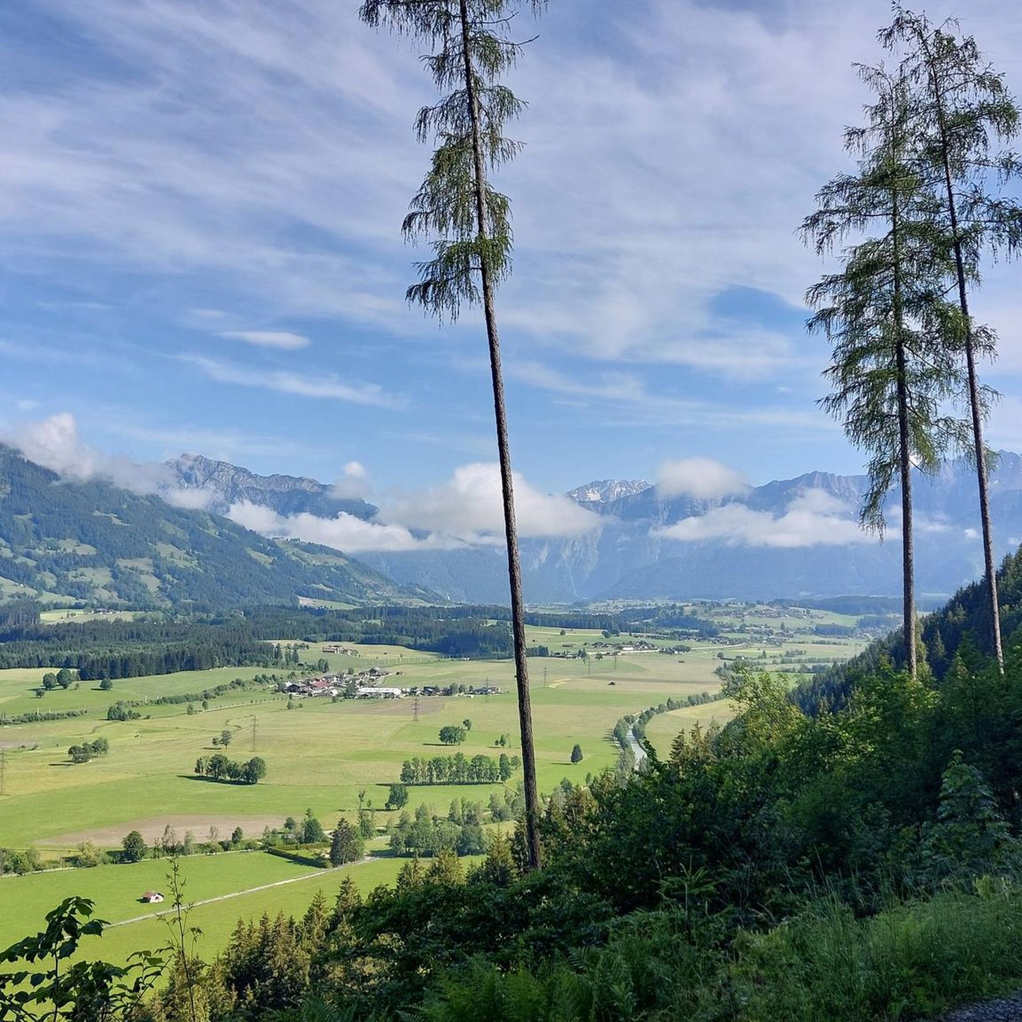
Hiking around Maishofen
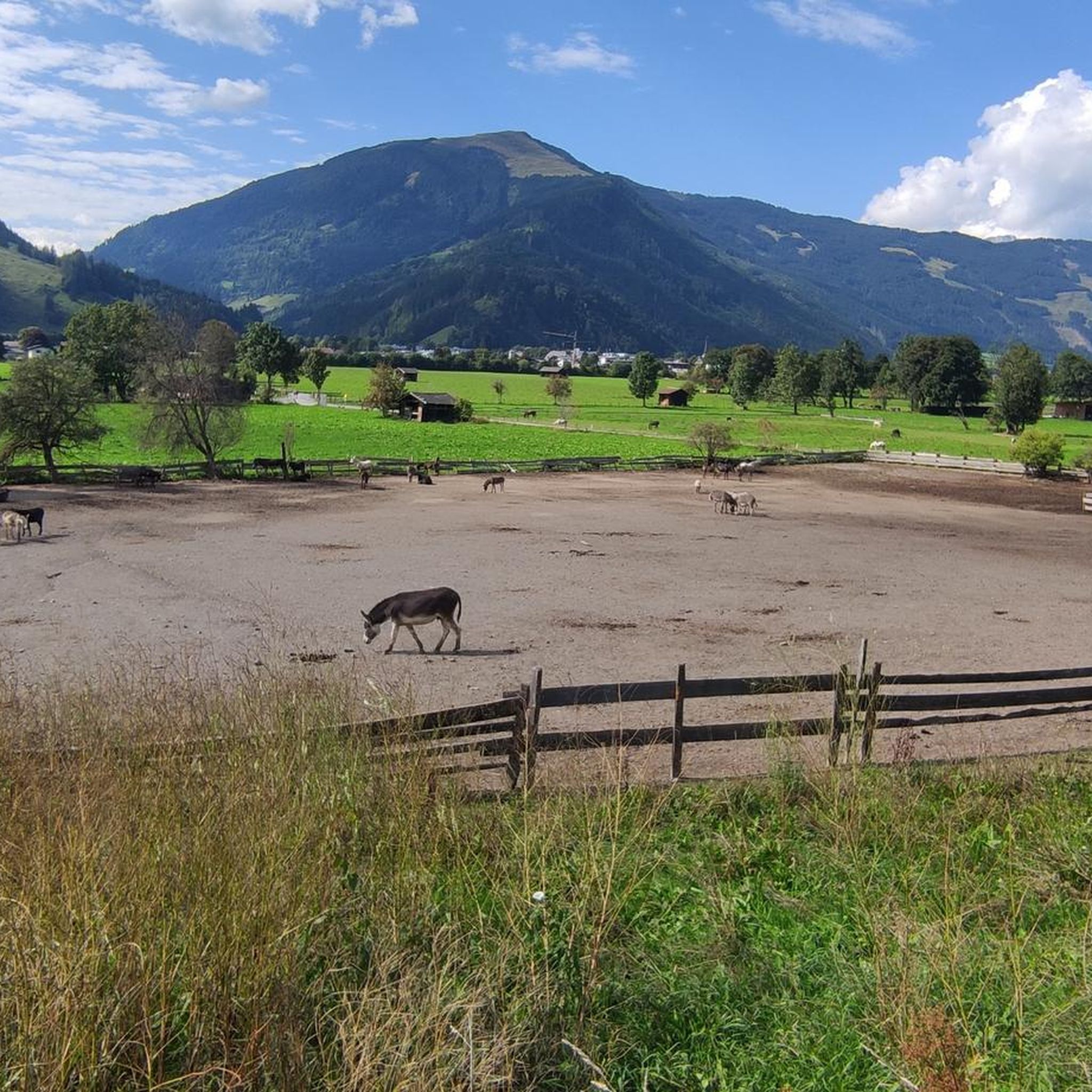
Cycling around Maishofen
Road Cycling Routes around Maishofen
Other adventures around Maishofen


Tips from the Community

MTB over the Rohrer Törl – current experience report The route from Hochsonnbergalm over the Rohrer Törl in the direction of Exenbacher Graben/Viehhofen is easily manageable with an MTB. The bicycle ban shown by Komoot actually exists – you have to push here. But this is completely unproblematic: no carrying section and no particular obstacles. However, the subsequent descent towards Viehhofen is very steep. Therefore, I would only recommend the tour in this direction. The other way around, the ascent from Exenbacher Graben would be correspondingly strenuous. Scenically a very beautiful route!
0
0

A beautiful section through the forest between Priesteregg and the path to Birnbachloch. Soft moss, ferns, and countless mushrooms line the trail, while woodpeckers tap into the old tree trunks. The path winds its way through the enchanted forest as a small, high-altitude trail. You can refill your water bottle with fresh spring water at the fountain along the way.
1
0

A sweet path through the forest along mossy slopes and root-strewn paths. A fairytale forest feeling.
0
0

Great trails, beautiful views
0
0
Great view of the Steinberge
0
0

Make sure you don't miss the turnoff to Maurerkogel. Follow the well-marked hiking trail.
0
1

As far as I know, the path is only open in May anyway. I would not recommend this trail if there is snow.
6
1

On the way to the Maurerkogel
0
1
Frequently Asked Questions
What kind of mountain experiences can I expect around Maishofen?
The region around Maishofen, nestled in the Austrian Alps, offers diverse mountaineering and hiking opportunities. You'll find scenic mountain trails leading to impressive summits, providing stunning panoramic views. The topography includes rugged crags, rolling alpine meadows, and routes with views of Lake Zell, catering to various skill levels.
Are there challenging mountain routes for experienced hikers near Maishofen?
Yes, for experienced mountaineers, routes like the '3-summit route' including Sausteige, Geierkogel, and Schaberg offer a demanding yet rewarding experience. These routes provide access to the rugged crags of the Steinernes Meer and the rolling terrain of the Pinzgauer Grasberge mountains, with varied and extensive ridge hikes.
What are some notable viewpoints or natural monuments in the area?
One significant viewpoint is the View of the Leoganger Steinberge, offering sights of this impressive karst mountain range known for its numerous caves and rock formations. Another is the Kesselscharte Pass (1,844 m), which provides expansive views of the Pinzgau landscape.
What outdoor activities can I do near the mountain passes around Maishofen?
Beyond exploring the mountain passes themselves, you can enjoy a variety of outdoor activities. The area is excellent for mountain hikes, with routes like the 'Schwalbenwand Summit loop from Thumersbach' or 'Maishofen to the Sausteige'. You can find more details on these and other routes in the Mountain Hikes around Maishofen guide and the Hiking around Maishofen guide. Road cycling is also popular, with routes like 'Lake Zell – View of Zell am See loop' detailed in the Road Cycling Routes around Maishofen guide.
Are there any mountain huts or places to eat along the trails?
Yes, along many hiking paths, you'll find easily reachable mountain huts (Almen) that offer opportunities for a break. These often serve delicious local snacks and homemade schnapps. Examples include Kammereggalm and Örgenbauernalm, known for homemade bread, bacon, cheese dumplings, and other regional specialties.
What is the best time to visit the mountain passes around Maishofen?
The best time to visit for hiking and mountaineering is generally from late spring to early autumn (June to September) when the trails are clear of snow and the weather is most favorable. During August, special 'Music Hikes' to the Kammereggalm are offered, combining nature with local culture.
Are there family-friendly hiking options near Maishofen?
While many routes offer varying difficulties, some trails can be adapted for families. The region's well-maintained paths make hiking accessible, and shorter sections or routes to mountain huts can be enjoyable for families. Always check the specific route details for difficulty and length to ensure it suits your family's capabilities.
What makes the Schwalbenwand a popular destination?
The Schwalbenwand, Maishofen's local mountain, offers a highly rewarding hiking experience. Its summit, rising to approximately 2,000 meters, rewards hikers with magnificent panoramic views encompassing Lake Zell, the Hohe Tauern, the Zillertal Alps, and the imposing Loferer and Leoganger Steinberge mountains. Trails range from moderate to difficult, providing options for different fitness levels.
What do visitors enjoy most about the mountain passes and routes in Maishofen?
Visitors frequently praise the breathtaking panoramic views, the diverse topography ranging from rugged crags to rolling alpine meadows, and the well-maintained trails. The opportunity to visit charming alpine huts for local delights and the overall natural beauty of the region are also highly appreciated.
Are there guided hikes available in Maishofen?
Yes, weekly guided hikes are organized from June to September, providing an excellent opportunity to explore the region with local experts. These can be a great way to discover new trails and learn about the local environment.
Can I earn a hiking award in Maishofen?
Yes, hikers can participate in the Maishofen Hiking Pass program. By collecting points at various 'hiking points' and refreshment stops throughout the region, you can earn a Golden Hiking Pin as a memento of your achievements.
What are the typical distances and durations for hikes in the Maishofen area?
Hiking distances and durations vary significantly depending on the route and your pace. For example, the 'Schwalbenwand Summit loop from Thumersbach' is a moderate 6.0-mile (9.7 km) path, while the 'Schwalbenwand Summit – Schönwieskopf Summit loop' is an 8.4-mile (13.6 km) trail that takes about 5 hours 34 minutes. Longer, more challenging routes like the 'Maishofen to the Sausteige' can be around 15.9 km (9.9 miles) and take a full day.
Most popular routes around Maishofen
Most popular attractions around Maishofen

Get inspired with the komoot mobile app


Explore more
See even more epic mountain passes by checking out these guides around Maishofen:
