Top 20 Bike Parks around Ofterschwang
Best bike parks around Ofterschwang are characterized by a diverse network of mountain biking trails set within a picturesque Alpine landscape. The region, situated amidst the Allgäu Alps, offers a variety of routes suitable for different skill levels, from gentle paths to challenging descents. Ofterschwang provides an authentic mountain biking experience, leveraging natural features like roots, forests, and meadows. This area is known for its extensive and varied trail system, offering both flowy sections and technical challenges.
Best bike parks…
Last updated: July 7, 2026
Hörnerbahn Summit Station
Highlight • Rest Area
Translated by Google •
Tip by

Siedelalpe–Zaumberg Flow Trail
Highlight (Segment) • Trail
Caution: Since there is a lot of walking.
Translated by Google •
Tip by

Sign up now to discover places like this
Get recommendations on the best single tracks, peaks, & plenty of other exciting outdoor places.
Sign up for free
Bad Hindelang
Highlight • Settlement
Translated by Google •
Tip by

Singletrack in Naturpark Nagelfluhkette
Highlight (Segment) • Trail
Translated by Google •
Tip by

Bildstöckle Root Trail
Highlight (Segment) • Trail
Translated by Google •
Tip by

Sign up for free to discover even more bike parks around Ofterschwang.
Sign up for free
Already have an account?
Start today with a free account
Your next adventure awaits.
Login or Signup
Popular around Ofterschwang

Climbing Alpine peaks on the Route to the Top – Allgäu hiking trilogy
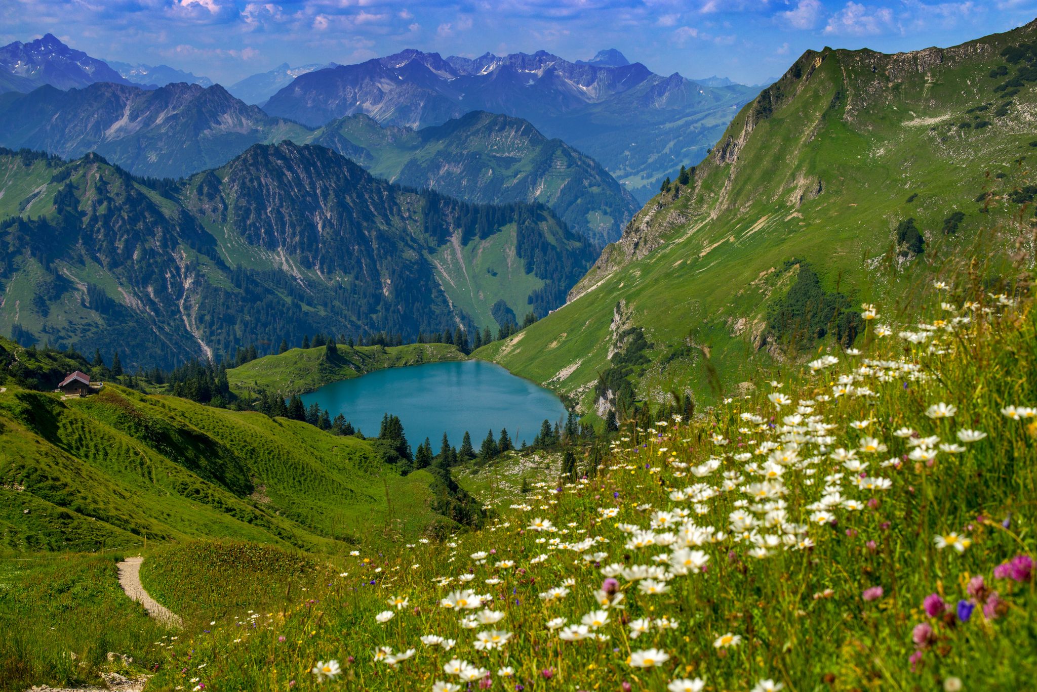
Bergwiesen im Allgäu – 8 Wanderungen über blühende Alpen
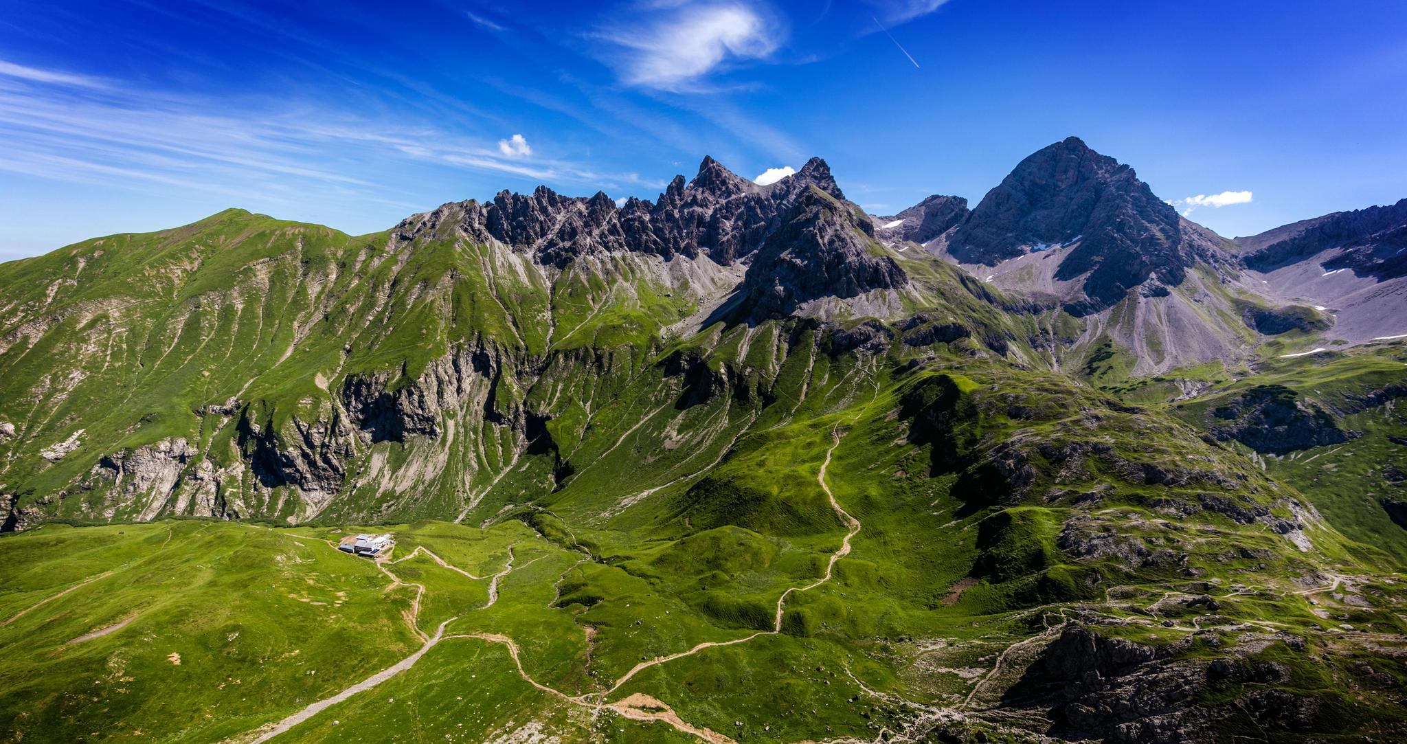
Alpenblick im Allgäu – 8 Wanderungen mit Bergpanorama
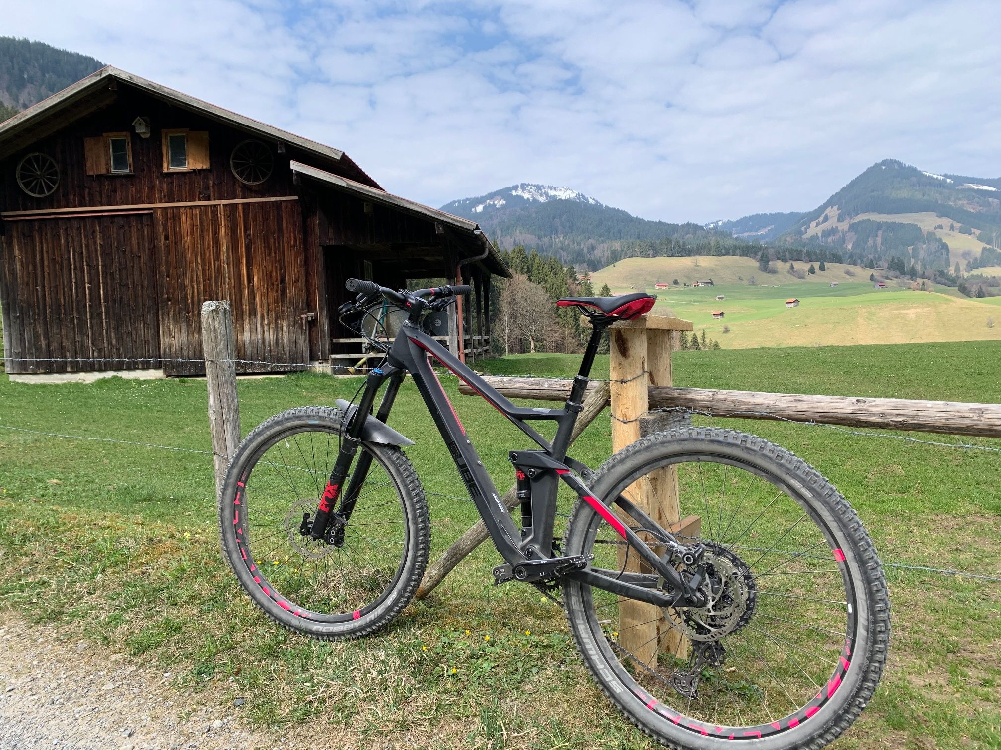
Hörnerdörfer - Radtouren
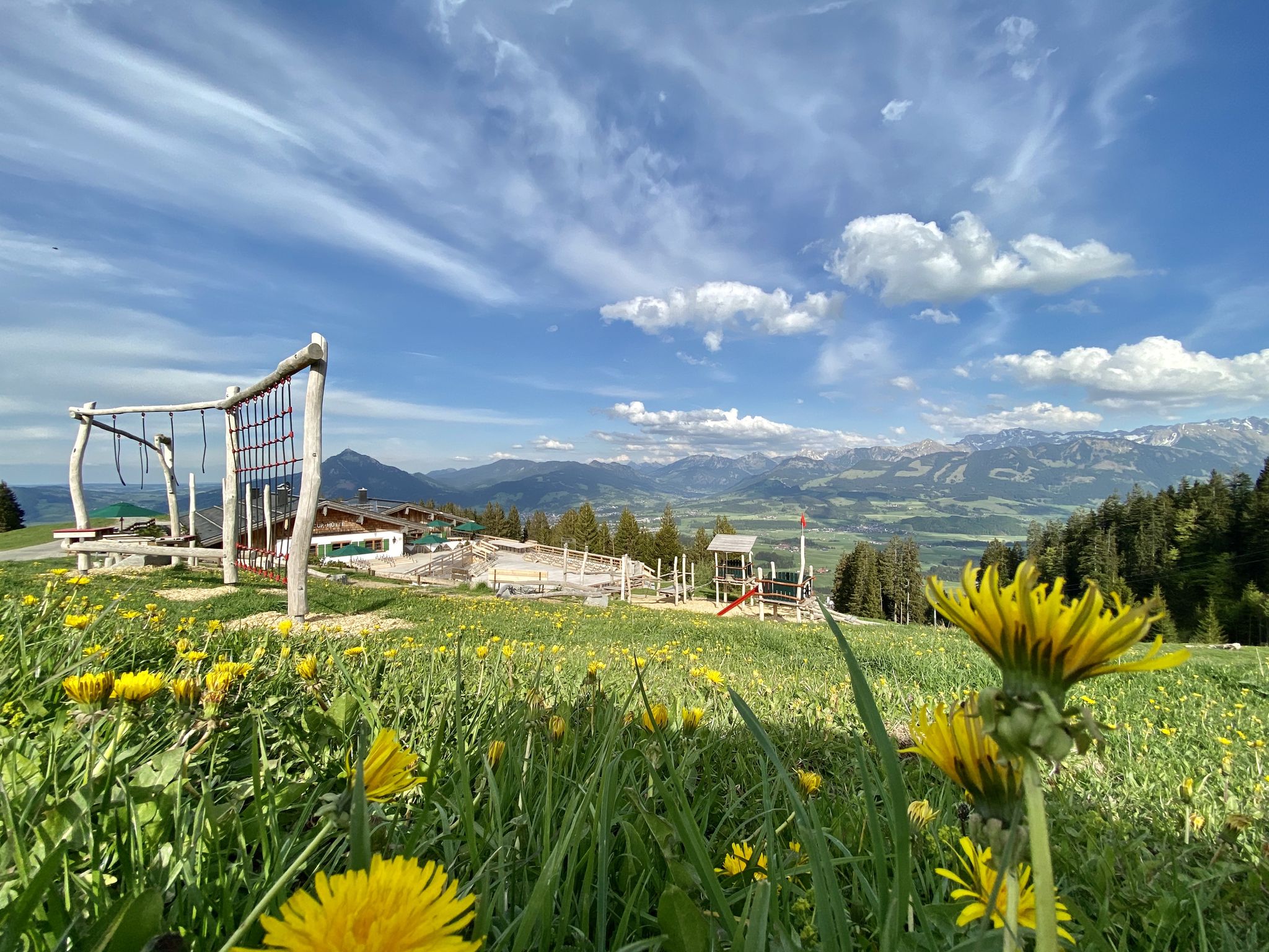
Hörnerdörfer - Themenwege
Hörnerdörfer - Idyllische Talwanderungen
Hörnerdörfer - Aussichtsreiche Gipfelwanderungen
Hiking around Ofterschwang
Road Cycling Routes around Ofterschwang
Running Trails around Ofterschwang
Other adventures around Ofterschwang


Tips from the Community

From the mountain station, you can take a variety of tours. This is also the starting point for the mountain cars.
3
0

It always depends on your own abilities. Getting off has nothing to do with cowardice!
2
0

Unfortunately, this trail has now been closed by the town of Sonthofen. Two signs have been put up to point this out. A disgrace for the region. Instead of creating tails and attracting tourists, everything is simply banned.
7
0

From up here it is only a piece of cake to the Bolsterlanger summit cross
2
0

Very good root trail, not for beginners.
1
0


Beautiful and challenging trail. Subsoil very interspersed with roots over large parts. Correspondingly bumpy and slippery when wet. Flow tends not to come up. Very cool for experienced, difficult for beginners.
2
0

Super single trail, very flowy at the beginning and rideable at a lot of speed, later it gets much more technical, but the same applies here: speed is your friend. For experienced riders in the enduro/downhill area, it's a real pleasure to fly down the step-downs/stairs =) The coasting is relatively relaxed and flowy at the end
3
0
Frequently Asked Questions
What types of mountain biking trails can I expect around Ofterschwang?
Ofterschwang offers a diverse network of mountain biking trails, ranging from gentle paths to challenging descents. You'll find a mix of flow trails, technical singletracks, and routes that incorporate natural features like roots, forests, and meadows. Difficulty levels vary from S0-S1 for beginners to S2-S3 for more experienced riders.
Are there family-friendly mountain biking options in Ofterschwang?
Yes, Ofterschwang caters to various skill levels, including options suitable for families. While specific dedicated family bike parks are not the focus, the region offers trails with gentler sections. The area around Hörnerbahn Summit Station is noted as family-friendly, providing access to trails and scenic views.
What are some of the most popular mountain biking trails in the Ofterschwang area?
Among the highly-rated trails are the Nagelfluhkette Forest Trail, known for its fantastic, flowing sections that become technically demanding in the lower part. Another favorite is the Siedelalpe–Zaumberg Flow Trail, an intermediate trail appreciated for its comfortable swings and flowing sections towards Bühl.
Can I find challenging downhill or technical trails in Ofterschwang?
Absolutely. Ofterschwang is known for its challenging singletracks and technical sections. Trails like the Singletrack in Naturpark Nagelfluhkette offer demanding sections with stairs and roots, especially when wet. The Jägerweg Ofterschwang is another significant trail with a red difficulty rating, featuring 'skinny' sections, roots, and stream crossings, reaching S2/S3 difficulty in parts.
Are there scenic viewpoints accessible by bike in Ofterschwang?
Yes, the region offers breathtaking Alpine scenery. The Hörnerbahn Summit Station provides magnificent views of the Oberstdorf valley and the surrounding mountains. The area around Ofterschwanger Horn also offers panoramic views of the Allgäu Alps, including mountains like Rubihorn and the Iller River valley.
What natural features characterize the mountain biking experience in Ofterschwang?
The trails in Ofterschwang leverage the natural landscape, offering an authentic mountain biking experience. You'll encounter elements like roots, forest paths, open meadows, and stream crossings. Many trails feature a combination of flowing descents and technical sections, providing a varied and engaging ride through the Allgäu Alps.
When is the best time to visit Ofterschwang for mountain biking?
The mountain biking season in Ofterschwang typically runs from spring through autumn. Summer offers warm weather and lush landscapes, while late spring and early autumn provide pleasant temperatures and potentially fewer crowds. Always check local weather conditions before planning your trip, as higher elevation trails may be affected by snow or wet conditions outside peak season.
Can I transport my bike using the Hörnerbahn lift?
Yes, the Hörnerbahn lift can transport visitors and their bikes up to the Bolsterlanger Horn. This allows riders to access various trails from the summit and enjoy the descents. It's a convenient way to gain elevation and maximize your riding time. Check their official website for current operating hours and any specific bike transport policies or fees.
Are there other outdoor activities I can do near the bike trails in Ofterschwang?
Beyond mountain biking, the Ofterschwang region is excellent for other outdoor pursuits. You can explore numerous hiking trails, including moderate options like the Ofterschwang Horns Panorama Trail. For those seeking more challenging adventures, there are also mountain climbing routes. Road cycling enthusiasts can find scenic routes like the Three Lakes Circuit in Upper Allgäu.
Where can I find bike rental or repair shops in Ofterschwang?
While specific shops are not detailed in the guide, Ofterschwang and nearby villages in the Allgäu region typically offer bike rental and repair services to cater to the many cyclists visiting the area. It's advisable to search locally or inquire with your accommodation for the nearest options.
What do visitors enjoy most about mountain biking in Ofterschwang?
Visitors frequently praise the diverse trail network that caters to all skill levels, from flowy sections to technical challenges. The breathtaking Alpine scenery and the authentic mountain biking experience through natural features like forests and meadows are also highly appreciated. The community has shared over 500 photos and given more than 1100 upvotes to the highlights in the area, reflecting a strong positive sentiment.
Are there accommodations or dining options near the bike trails?
Yes, the region around Ofterschwang, including places like Bad Hindelang, offers a variety of accommodation options and dining establishments. You'll find places to stay and eat, from cozy guesthouses to restaurants serving local cuisine, ensuring you have amenities close to the trails.
Most popular routes around Ofterschwang
Most popular attractions around Ofterschwang

Get inspired with the komoot mobile app


Explore more
Still looking for your perfect bike park? Check out our guides in these places:
