Top 5 Mountain Passes in Franconian Switzerland
Mountain passes in Franconian Switzerland are located in an upland region of Upper Franconia, Bavaria, Germany. This area is characterized by picturesque landscapes, impressive rock formations, and dense forests. The terrain features limestone rocks and diverse valleys, with elevations reaching up to 600 meters. The region offers significant climbs and descent opportunities for cyclists and hikers.
Best mountain passes in Franconian Switzerland
- The most popular mountain pass is Rödlaser Mountain, a mountain pass that features the longest climb in the vicinity. Both its east and west ramps have 12 percent inclines, with the west ramp offering better paving for descents.
- Another must-see spot is Col de Kleetzhöfe, a mountain pass reaching an elevation of 550 meters. Visitors can expect varied climbs from three different sides, ranging from 5% to 18% gradients, with mostly empty roads.
- Visitors also love Prüllsbirkig Pass, an intermediate mountain pass. This pass is known for its easy drive from east to west, offering a trail experience.
- Franconian Switzerland is known for challenging climbs, scenic viewpoints, and cycle ways. The region offers a variety of mountain passes to see and explore, catering to different skill levels.
- The mountain passes in Franconian Switzerland are appreciated by the komoot community, with 36 photos and 266 upvotes across 3 highlights.
Last updated: May 9, 2026
Rödlaser Mountain
Highlight (Segment) • Mountain Pass
Translated by Google •
Tip by

Marloffstein Water Tower
Highlight • Monument
Translated by Google •
Tip by

Sign up now to discover places like this
Get recommendations on the best single tracks, peaks, & plenty of other exciting outdoor places.
Sign up for free
Pass Marloffstein
Highlight • Mountain Pass
[via de.wikipedia.org/wiki/Pass_Marloffstein]
Translated by Google •
Tip by

Col de Kleetzhöfe
Highlight • Mountain Pass
From the south from Tannfeld at 5%,
from the north from Thurnau at 8%, and
from the east from Felkendorf at a whopping 18%!
The mostly fairly empty roads make the climbs a joy.
The hamlet of Kleetzhöfe lies on a high plateau at the intersection of the Franconian Switzerland and the Upper Main Hills and is the highest point between Thurnau in the north and Pilgerndorf in the south.
Translated by Google •
Tip by

Prüllsbirkig Pass
Highlight (Segment) • Mountain Pass
Translated by Google •
Tip by

Start today with a free account
Your next adventure awaits.
Login or Signup
Popular around Franconian Switzerland
Ultratrail Fränkische Schweiz – 2 Days Burgen, Wälder, Trails
Nuremberg to Erfurt – Discover the German countryside by bike
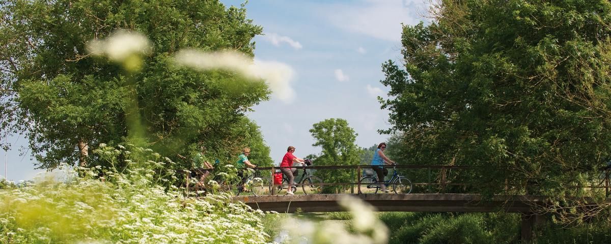
The most beautiful long-distance cycle paths in Franconia
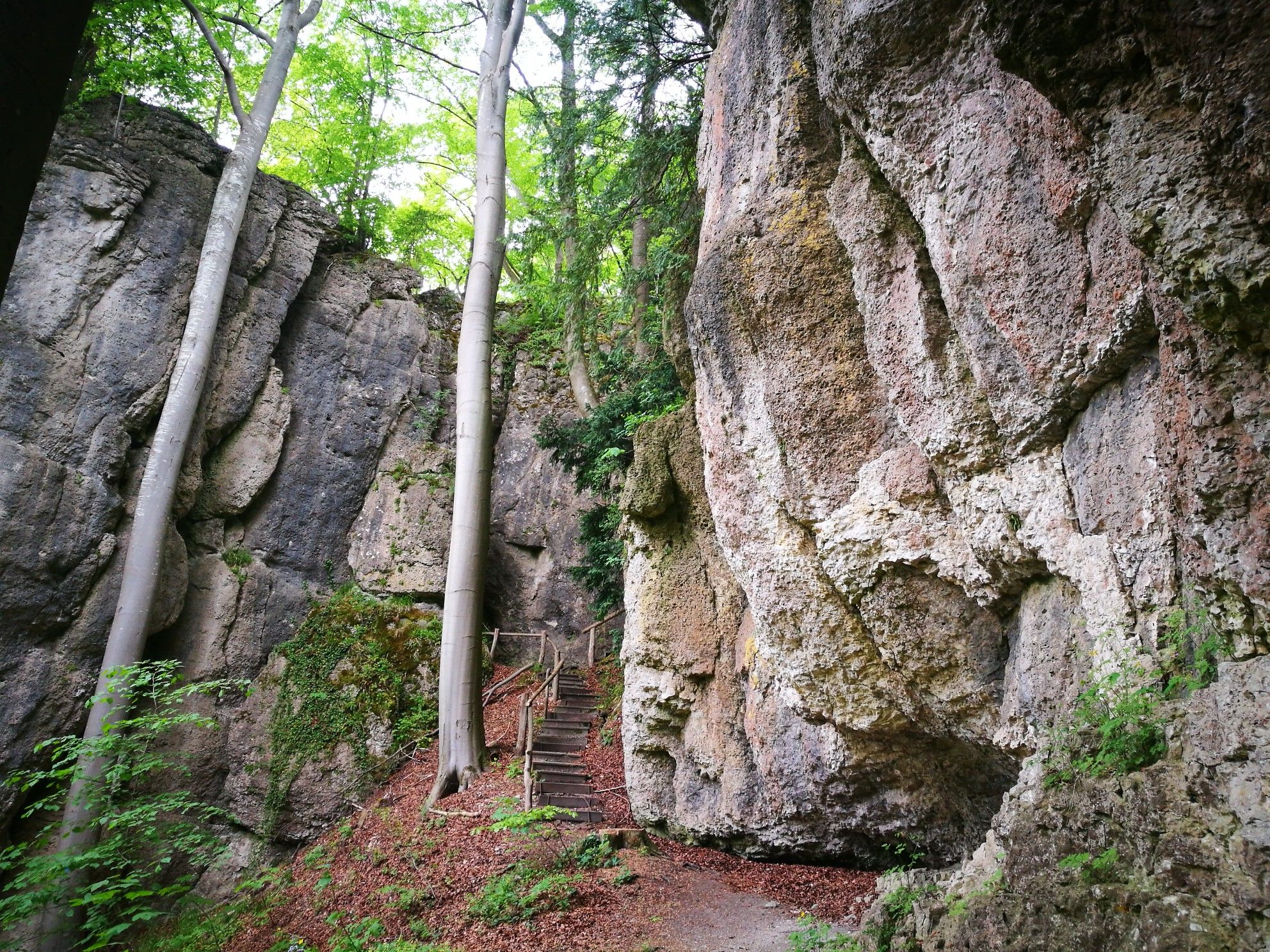
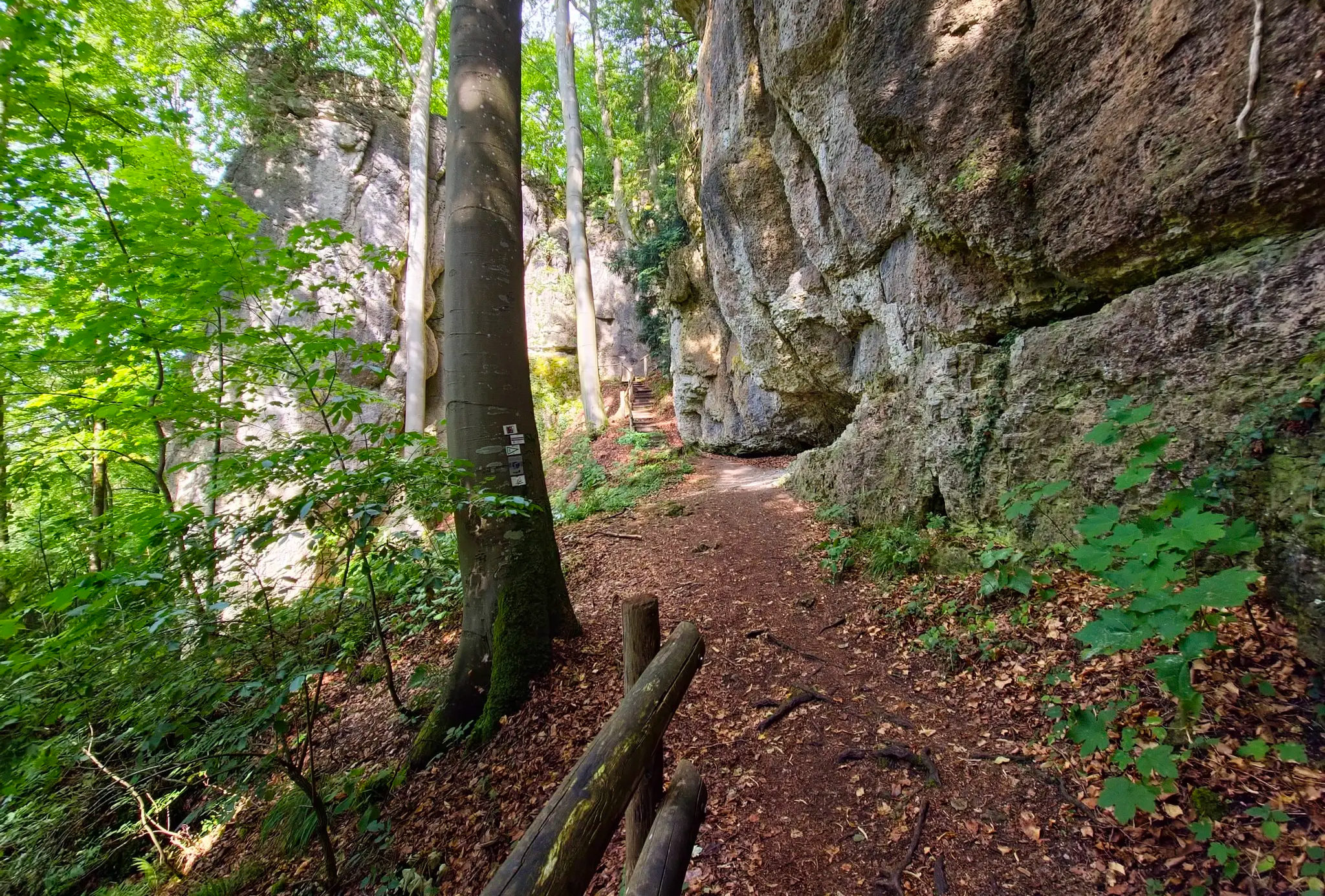
Forests, rocks and castles – 5-day circular through Franconian Switzerland
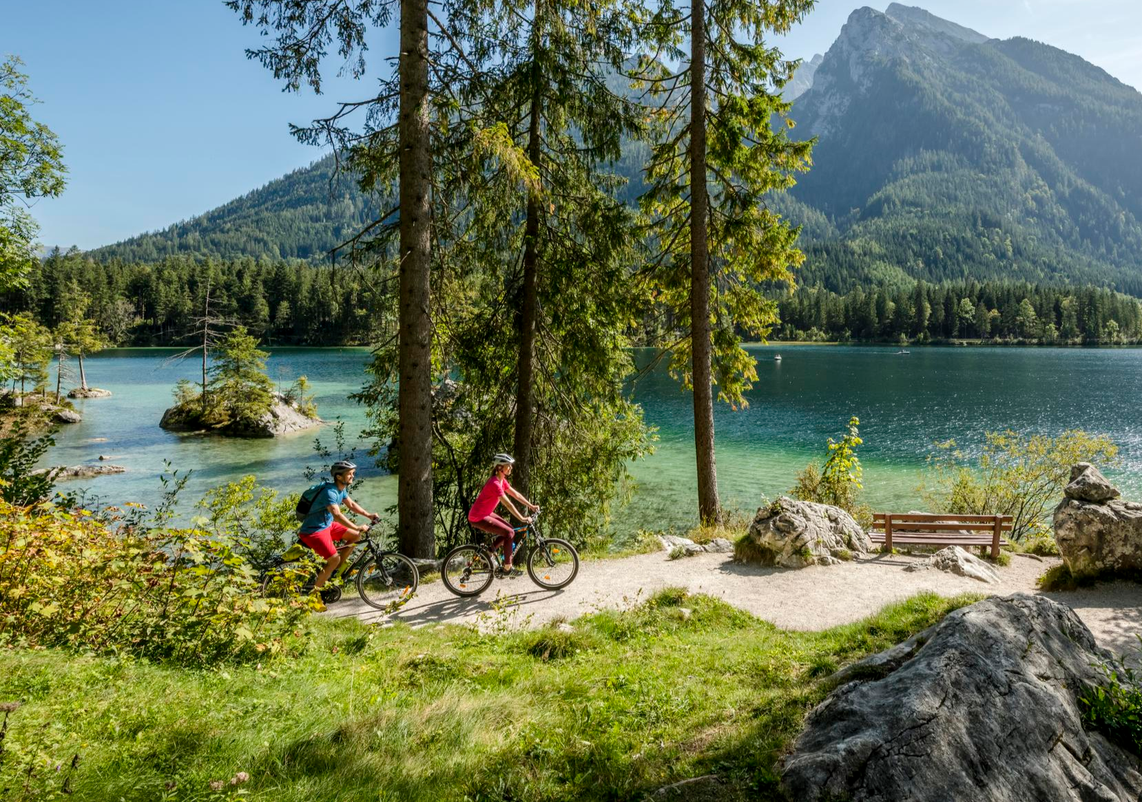
Discover Germany's diversity on enchanting cycling routes

The National Natural Landscapes in Bavaria
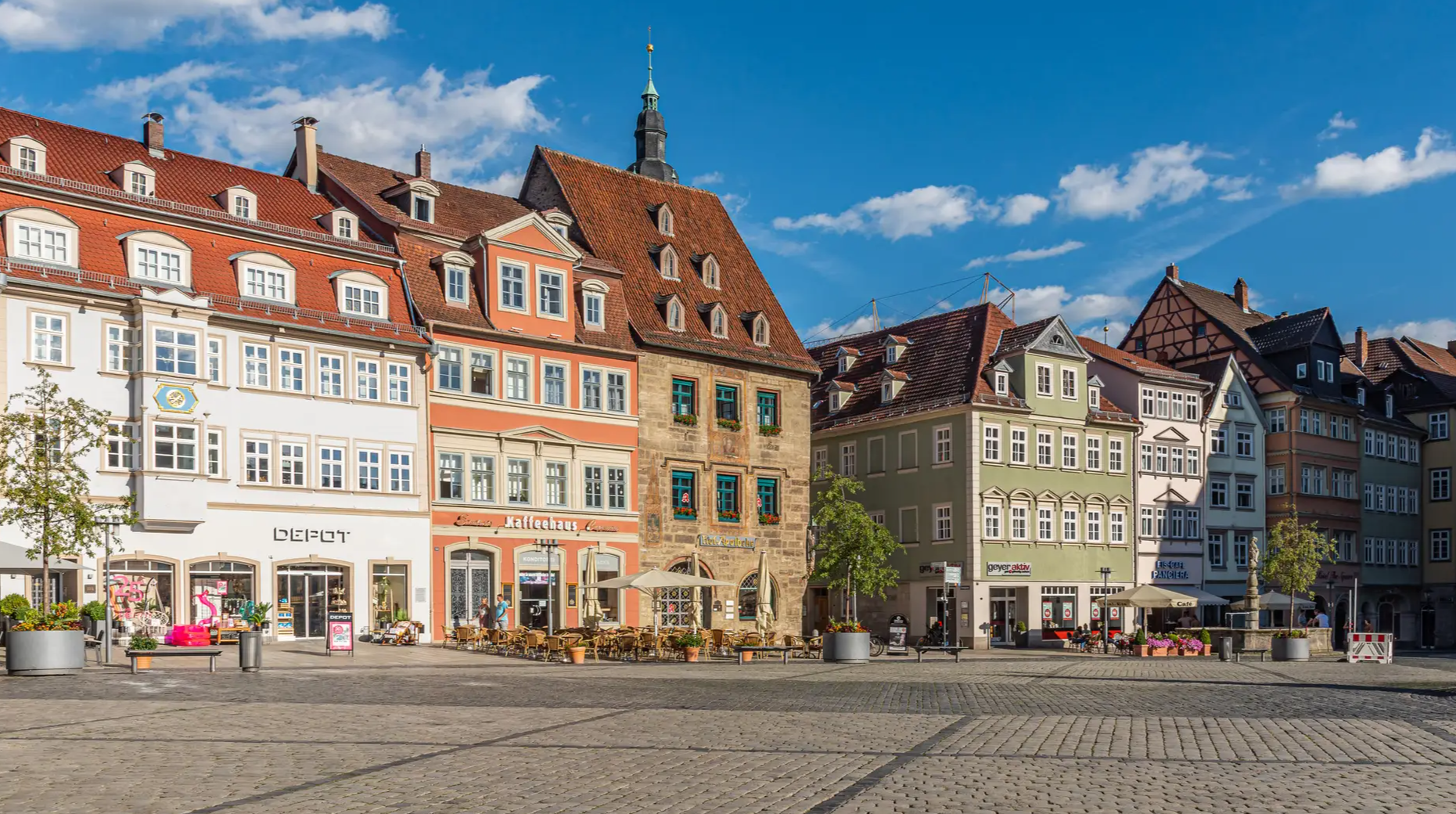
From the metropolis to enjoyment – city hiking on the VGN
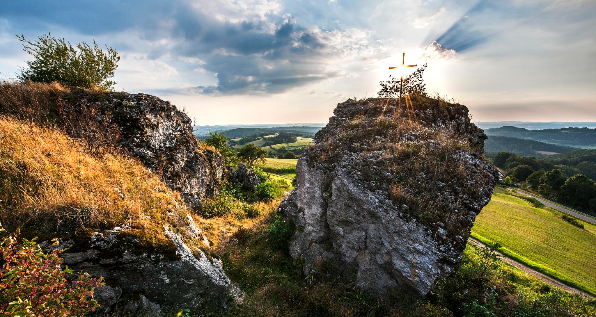
Fun hiking and wonderful views in Franconian Switzerland
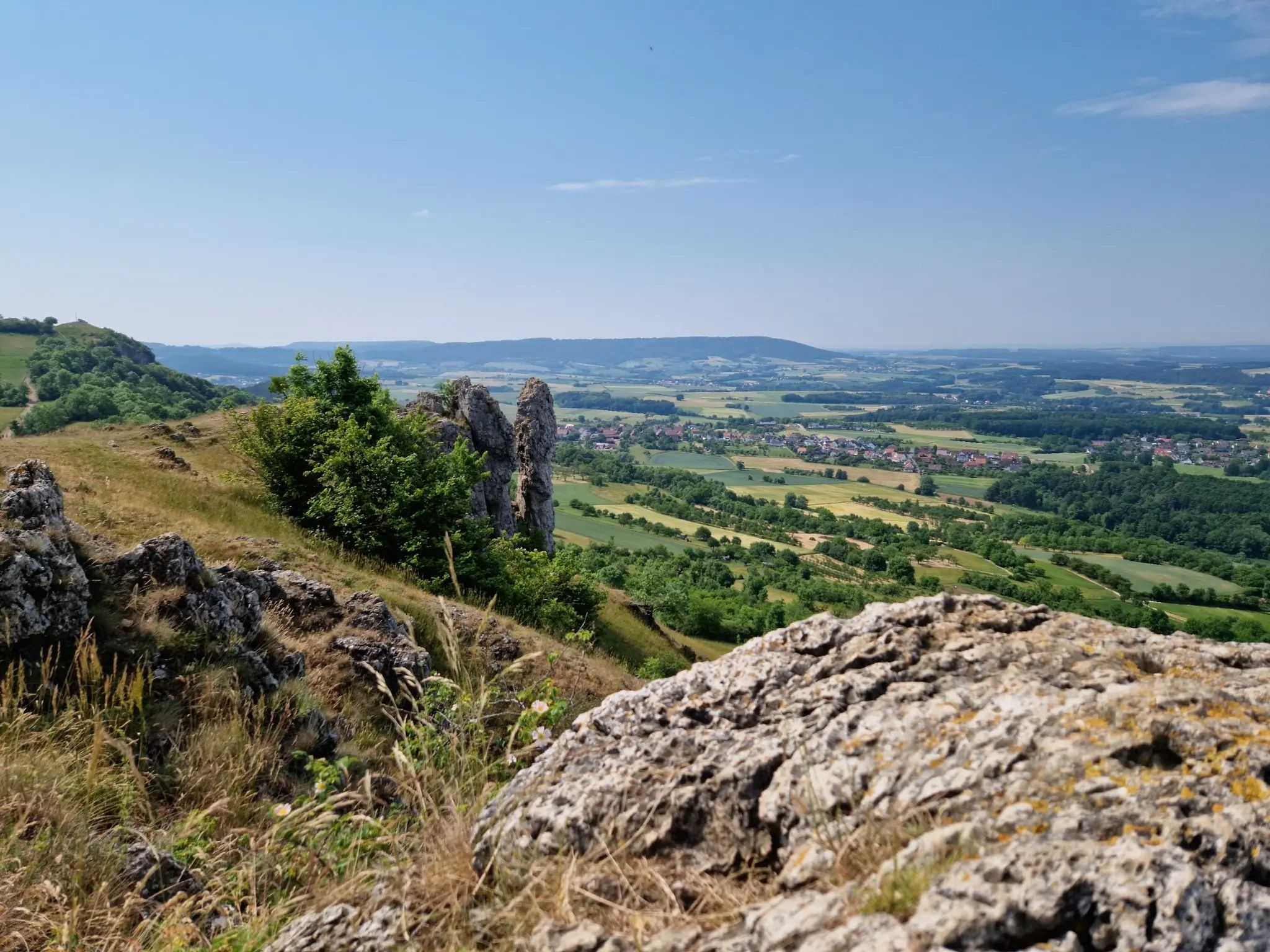
Ten fantastic hikes throughout Germany
Transbavaria – north to south across Bavaria
Other adventures in Franconian Switzerland


Tips from the Community

Asphalt is fine, but there is a lot of traffic. Also watch out for traffic at the parking lot up on the hill. The view is of course great from up here
1
0

The Rödlaser can be ridden from 2 sides. On one side, steep ramps of up to 15% are characteristic, on the other side it is a steady but steep climb. Description applies mainly to the steady climb. Length: Without the hill, about 1.1 km long. Gradient: Very even between 8% - 10% Average: 9% The other side has ramps of up to 15% and has a more undulating profile. Asphalt: Very good on both sides. Descent: Both sides are very easy to ride. Up to 80 km/h Traffic: moderate, sometimes heavier depending on the time of day. 10% always hurts, have fun struggling up.
5
0

Highest point in the district of Erlangen, nice starting point for hikes
2
0

Very easy to drive from east to west.
1
0

Like Mont Ventoux in Provence, the 550-meter-high Col de Kleetzhöfe can be approached from three sides. 😉The climbs could be categorized as easy, moderate, and difficult: From the south from Tannfeld at 5%, from the north from Thurnau at 8%, and from the east from Felkendorf at a whopping 18%! The mostly fairly empty roads make the climbs a joy. The hamlet of Kleetzhöfe lies on a high plateau at the intersection of the Franconian Switzerland and the Upper Main Hills and is the highest point between Thurnau in the north and Pilgerndorf in the south.
5
0
The ascent from the east is tough - the ascent begins in the village and then becomes more and more challenging. You have to work really hard to get to the top. Relatively little traffic makes driving pleasant. The descent is always a reward. Maybe not intended for beginners but definitely worth the ride
10
0


There is a parking lot with a hiking map as a starting point for a wide variety of tours.
1
0
Frequently Asked Questions
What kind of terrain can I expect when exploring mountain passes in Franconian Switzerland?
Franconian Switzerland is an upland region characterized by picturesque landscapes, impressive rock formations, and dense forests. The terrain features limestone rocks and diverse valleys, with elevations reaching up to 600 meters. While not traditional high-altitude passes like in the Alps, the region offers significant climbs and descent opportunities, particularly appealing to cyclists and hikers.
Are there challenging climbs for experienced cyclists or hikers?
Yes, the region offers several challenging climbs. For cyclists, Rödlaser Mountain is known as the longest climb in the vicinity, with both its east and west ramps featuring 12 percent inclines. The ascent from the east is particularly tough, requiring significant effort. Col de Kleetzhöfe also offers a challenging 18% gradient from the east (Felkendorf).
Are there easier mountain passes or routes for beginners?
Yes, there are options for varying fitness levels. Col de Kleetzhöfe can be approached from the south (Tannfeld) with an easier 5% gradient, making it suitable for a more leisurely ride. Additionally, Prüllsbirkig Pass is described as an intermediate pass that is very easy to drive from east to west, offering a pleasant trail experience.
What natural features or viewpoints can I expect to see from these passes?
The mountain passes in Franconian Switzerland often lead to scenic viewpoints. From Col de Kleetzhöfe, situated on a high plateau, you can enjoy expansive views of the surrounding Franconian Switzerland and Upper Main Hills. The region itself is known for its picturesque landscapes, impressive rock formations, and dense forests, providing a beautiful backdrop for any activity.
What outdoor activities can I do near the mountain passes in Franconian Switzerland?
Beyond exploring the passes themselves, Franconian Switzerland is excellent for various outdoor activities. You can find numerous road cycling routes, mountain biking trails, and mountain hikes. For example, there are many road cycling routes, challenging MTB trails, and scenic mountain hikes available throughout the region.
Are there specific hiking trails near these mountain passes?
Yes, the region offers a variety of hiking opportunities. While the passes themselves are often popular with cyclists, the broader Franconian Switzerland area, including nearby elevated points like Walberla and Wichsenstein, provides excellent hiking and scenic overlooks. You can explore numerous mountain hikes, such as the 'Kuchenmühle in the Aufseß Valley' loop or the 'Gößweinstein Castle' loop.
What do visitors enjoy most about the mountain passes in Franconian Switzerland?
Visitors particularly appreciate the challenging climbs and rewarding descents, especially for cycling. The relatively low traffic on many routes, such as those around Col de Kleetzhöfe, enhances the enjoyment. The scenic views from the high plateaus and the diverse landscapes also contribute to a memorable experience.
Is Franconian Switzerland suitable for family-friendly outdoor activities?
While some passes offer challenging gradients, the varied terrain of Franconian Switzerland means there are also more accessible routes and areas suitable for families. The region's diverse valleys and forests provide a beautiful setting for walks and rides that can be tailored to different ages and fitness levels. Look for routes with gentler inclines or shorter distances for family outings.
What is the best time of year to visit Franconian Switzerland for mountain passes?
The best time to visit Franconian Switzerland for exploring mountain passes is generally during the spring, summer, and early autumn months (April to October). During these periods, the weather is typically mild, and the landscapes are lush, making for pleasant cycling and hiking conditions. Always check local weather forecasts before your trip.
Are there any tips for descending the mountain passes?
When descending, especially on passes like Rödlaser Mountain, the west ramp is noted for its better paving, making it a more favorable route for descents. For Prüllsbirkig Pass, it's advised to be careful on the descent to the Püttlachtal due to a very bad surface on the right side. Always prioritize safety and be aware of road conditions.
How do the mountain passes in Franconian Switzerland compare to those in the Alps?
Franconian Switzerland's 'mountain passes' are distinct from the high-altitude, often snow-capped passes found in the Alps. This region is an upland area with elevations up to 600 meters, offering significant climbs and descents within a picturesque, forested, and rocky landscape. They provide a genuine pass experience with sustained inclines but without the extreme altitudes or alpine conditions of the Alps, making them unique and appealing in their own right.
Most popular routes in Franconian Switzerland
Most popular attractions in Franconian Switzerland

Get inspired with the komoot mobile app


Explore more
See even more epic mountain passes by checking out these guides in Franconian Switzerland:
