Top 20 Natural Monuments around Casterton
Natural monuments around Casterton feature a landscape shaped by valleys, rivers, and distinctive geological formations. The area provides opportunities to explore summits, waterfalls, and unique rock structures. These natural attractions offer various experiences, from challenging hikes to serene natural settings.
Best natural monuments around Casterton
- The most popular natural monuments is Ingleborough summit, a summit that offers panoramic views of the surrounding Dales, Morecambe Bay, and Lakeland hills. This 723-meter high peak is a significant feature of the Yorkshire…
Last updated: October 4, 2026
Ingleborough summit
Highlight • Summit
Tip by

Whernside Summit
Highlight • Summit
Tip by
Sign up now to discover places like this
Get recommendations on the best single tracks, peaks, & plenty of other exciting outdoor places.
Thornton Force waterfall
Highlight • Natural Monument
Tip by
Low Force Waterfall (Force Gill)
Highlight • Natural Monument
Tip by
Southerscales Limestone Pavement
Highlight • Natural Monument
Tip by

Sign up for free to discover even more natural monuments around Casterton.
Already have an account?
Start today with a free account
Your next adventure awaits.

Tips from the Community

Force Gill, or Low Force Waterfall is just off the main path going up to Whernside. A little side trail takes you right into the tiny, gorgeous amphitheatre that hosts this beautiful 15-meter/50-foot waterfall. It is also not that far from Ribblehead Viaduct, so it is a really great family-friendly walk to get to it. It is a beautiful setting and makes for a great rest stop.
0
0


Thornton Force is the last waterfall on the River Twiss going upriver. For me it was the most impressive waterfall on the Ingleton Waterfalls trai with its 46 ft drop and (at least when we were there) its very impressive flow over the edge and the force of the water landing at the bottom.
0
0
A 7km walk that takes in a number of waterfalls and some wondrous countryside.
0
0


Perhaps the most impressive of all the falls on the trail and really worth a visit. However, the whole trail is likely to be very busy so don't expect to be alone, and try to come midweek if you don't want to end up in traffic jams of walkers
1
0

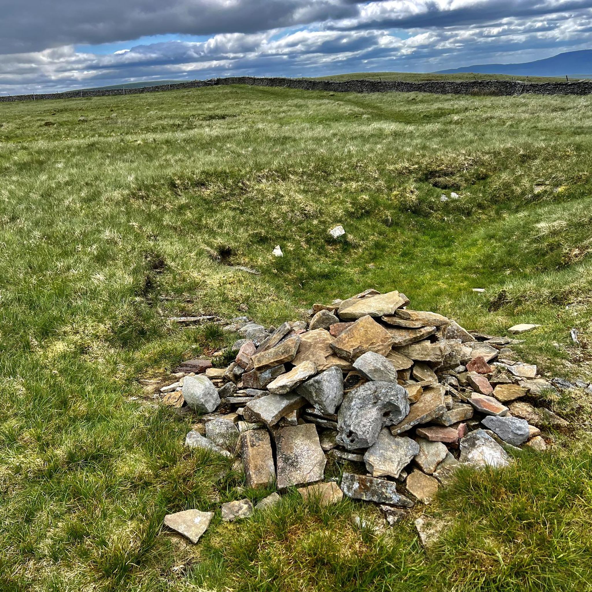
Whernside 736.6m P408 (2416ft) County of Yorkshire Definitive List
2
0
Frequently Asked Questions
What unique geological features can I explore around Casterton?
The Casterton area is known for its distinctive geological formations. You can visit Thornton Force waterfall, which drops 14 meters over a limestone cliff, revealing layers of geological evolution. Another notable site is the Southerscales Limestone Pavement, part of a nature reserve protecting unique rock formations, grassland, and wetland.
Are there any family-friendly natural monuments to visit near Casterton?
Yes, Low Force Waterfall (Force Gill) is considered family-friendly. It offers a magnificent spectacle with a significant drop and is located near the Ribblehead Viaduct, making it a great destination for a family walk. The area around Baileys Rocks in Dergholm State Park also provides excellent facilities for visitors, including picnic tables and short walking tracks suitable for families.
Where can I find panoramic views of the Casterton region?
For breathtaking panoramic views, consider ascending Ingleborough summit. From its 723-meter peak, you can see the surrounding Dales, Morecambe Bay, and the Lakeland hills. Similarly, Whernside Summit, the highest of Yorkshire’s Three Peaks, offers extensive views over the Yorkshire Dales and beyond.
What kind of hiking trails are available near Casterton's natural monuments?
The Casterton area offers a variety of hiking trails. For instance, you can find moderate to difficult routes like the 'St Bartholomew's Church and Underley Park Bridge loop' or the 'Calf Top and Holy Ghost Church loop'. There are also easier options such as the 'Barbon Village – Barbon Beck loop'. You can explore more options and detailed routes in the Hiking around Casterton guide.
Can I observe wildlife at the natural monuments around Casterton?
Yes, the region provides opportunities for wildlife observation. Longlead Swamp Track, located west of Casterton, is known for its wildflowers and offers chances to spot local wildlife such as waterbirds, kangaroos, and emus. Ess Lagoon is also a tranquil setting often suitable for birdwatching.
Are there any natural monuments with historical significance in the area?
Yes, Ingleborough summit is not only a natural landmark but also holds historical significance. Its landscape, characterized by eroded layers of rock, is home to caves and the remains of Iron Age settlements, offering an exploration into the history of the Dales’ people and landscape.
What are the best places for a refreshing dip or wild swimming near Casterton?
The natural pool at Thornton Force waterfall is a popular spot for a refreshing dip, especially during fine weather. Many visitors enjoy wild swimming in the pool below the falls, making it a great place to cool off and relax in a natural amphitheater.
What other outdoor activities can I do near the natural monuments?
Beyond hiking, the Casterton area is excellent for cycling. You can find various gravel biking routes, including challenging ones like the 'Ribblehead Viaduct – View of Pen-y-Ghent loop'. For mountain biking enthusiasts, there are trails such as the 'Devils Bridge to Barbon loop'. More details can be found in the Gravel biking around Casterton and MTB Trails around Casterton guides.
What facilities are available at natural monument sites like Baileys Rocks?
Baileys Rocks, located in Dergholm State Park, offers excellent visitor facilities. These include toilets, fuel barbecues, picnic tables, and drinking water, making it a comfortable spot for a day out. There are also clearly marked walking tracks for exploration.
Are there any natural monuments that are less frequented or considered 'hidden gems'?
While not explicitly a 'hidden gem' in the data, the path alongside Force Gill to Low Force Waterfall is noted as a way to beat the crowds compared to the main route up Whernside. This allows for a more serene experience of the waterfall up close.
What is the best way to experience the Glenelg River's natural beauty?
The Glenelg River, which flows through Casterton, is known for its natural beauty. You can experience it by walking the Kelpie Walking Trail, which includes the River Walking Trail along its banks. This path offers picturesque scenery and features wonderful River Red-Gums.
What should I know about the difficulty of trails to summits like Whernside?
Whernside Summit, despite being the highest of the Yorkshire Three Peaks, is often considered the easiest due to its steadier incline and well-laid-out path. However, the way down can be steep, so a hiking stick might be preferable, especially in wet conditions.
Most popular attractions around Casterton

Get inspired with the komoot mobile app


Explore more
Extend your search for the best caves by checking out these guides of the top ones around Casterton:
