Top 12 Natural Monuments around Long Marton
Best natural monuments around Long Marton are situated within the North Pennines Area of Outstanding Natural Beauty and the wider Eden Valley. This region features diverse landscapes, geological formations, and opportunities for outdoor activities. The area is characterized by wild moorlands, peatlands, and fells, offering varied terrain for exploration. These natural features are easily accessible from Long Marton, making them significant attractions for visitors.
Best natural monuments around Long Marton
- The most popular natural monuments is High Cup Nick,…
Last updated: July 28, 2026
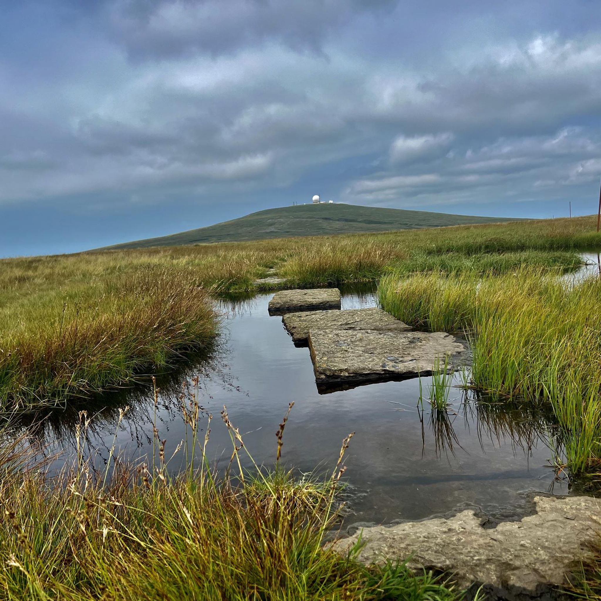
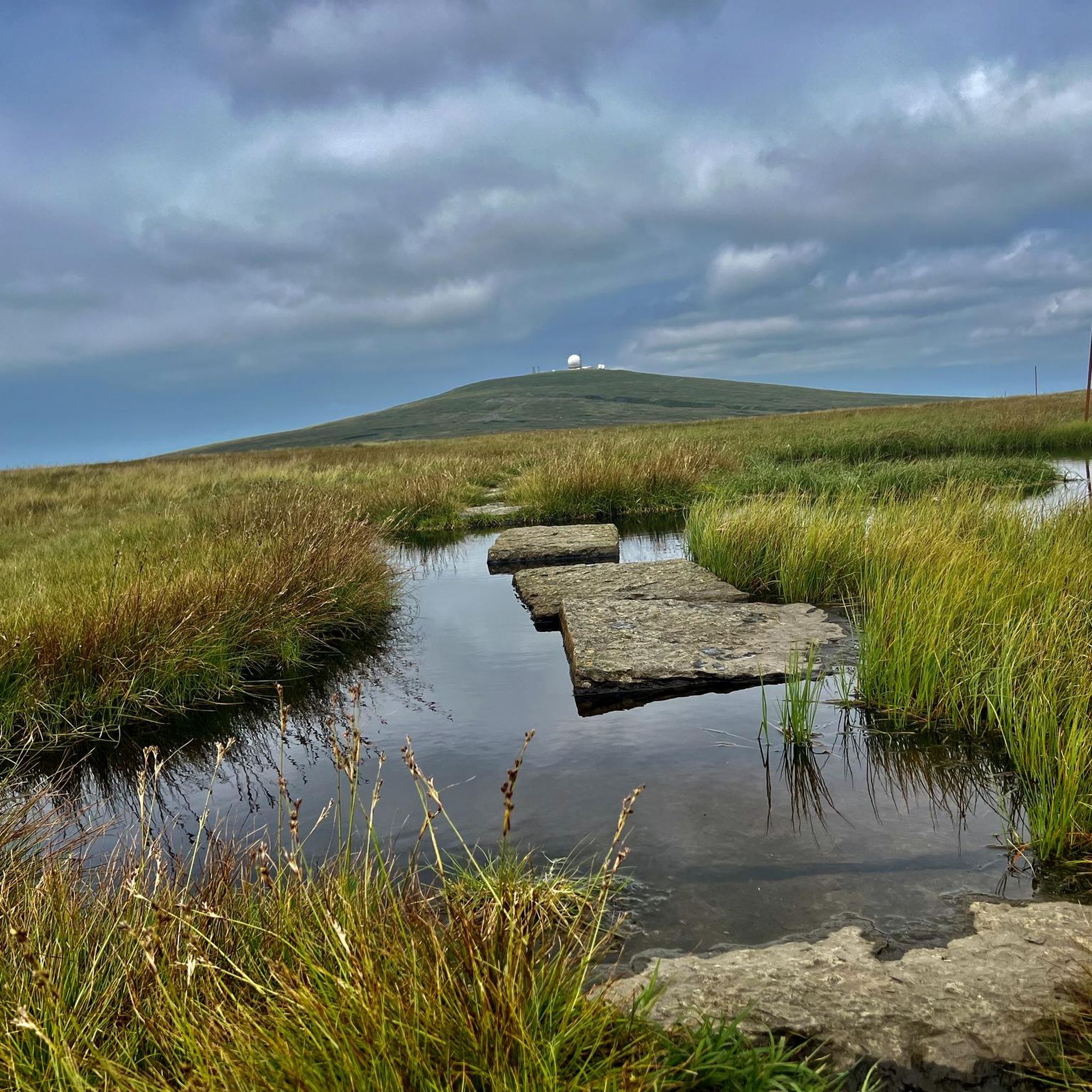
Cross Fell Summit
Highlight • Natural Monument
Tip by

High Cup Nick
Highlight • Gorge
Tip by
Sign up now to discover places like this
Get recommendations on the best single tracks, peaks, & plenty of other exciting outdoor places.
Sign up for free
Cauldron Snout Waterfall
Highlight • Natural Monument
Tip by
Ashgill Force
Highlight • Gorge
By the way, you can access it from both the …
Tip by

Mickle Fell Summit Cairn
Highlight • Viewpoint
Tip by

Sign up for free to discover even more natural monuments around Long Marton.
Sign up for free
Already have an account?
Start today with a free account
Your next adventure awaits.
Login or Signup
Tips from the Community

The waterfall is fed by the Cow Green Reservoir, with water running over a dam wall and then plunging into the river.
0
0

it more of a long cataract than a waterfall and at 200 yards long ,reckoned to be the longest waterfall in England . keep away from the edges cos can be very slippery when wet .
1
0

The highest mountain in England outside of the Lake district, fantastic views if you can catch it on a clear day.
0
0

Cauldron Snout is a stunning series of waterfalls accessible from the Pennine Way, and the large car park at Cow Green Reservoir. There is a rocky footpath that is a bit of a scramble leading down to it from Cow Green Dam; the latter makes a super nice backdrop to the first waterfall. This footpath is treacherous when wet, and you need to be very careful, a fall could have serious consequences.
3
0
This is a beautiful waterfall, easily accessible from the bridge above it, where there is some roadside parking. It does get busy, however, especially with gorge walking groups. Otherwise, you can walk up from Garrigill in about half an hour. The falls are in a great setting, with the bridge arching over the waterfall itself. It makes for a great photo stop or rest stop. You can also walk behind the waterfall. Please be careful in the area, as it is slippery underfoot, and avoid after prolonged rain for obvious reasons.
0
0
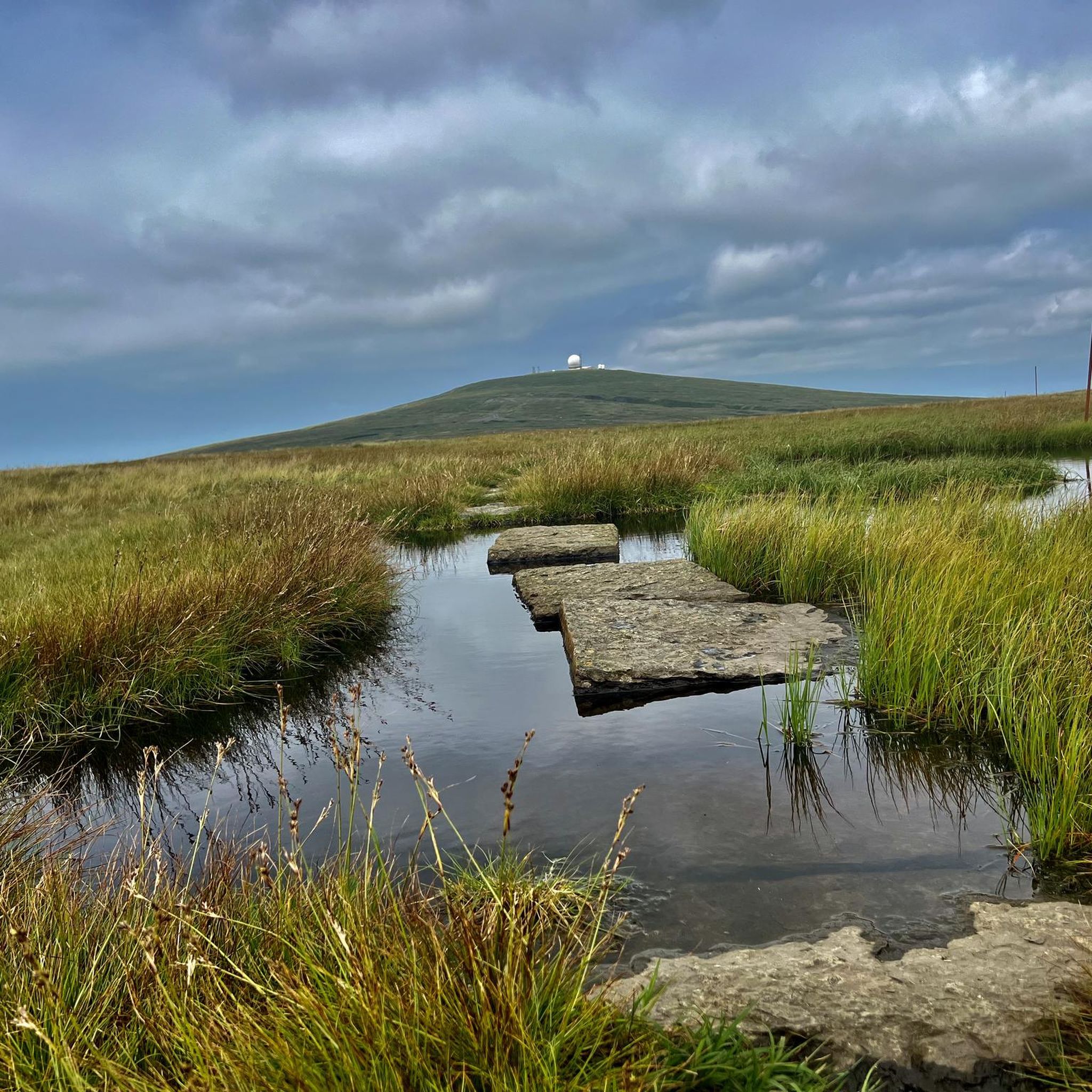
A beautiful hill to hike and a glorious summit to have a break on. It has a wide plateaued top with a number of impressive stone cairns, as well as a trig point and a great dry stone cross shelter. I hiked the Kirkland loop, and this was a particularly nice loop to do. There is not that much of a view from the summit itself because it is so big and flat, but the views to and from it are really nice, in particular over towards Little Dun Fell.
1
0
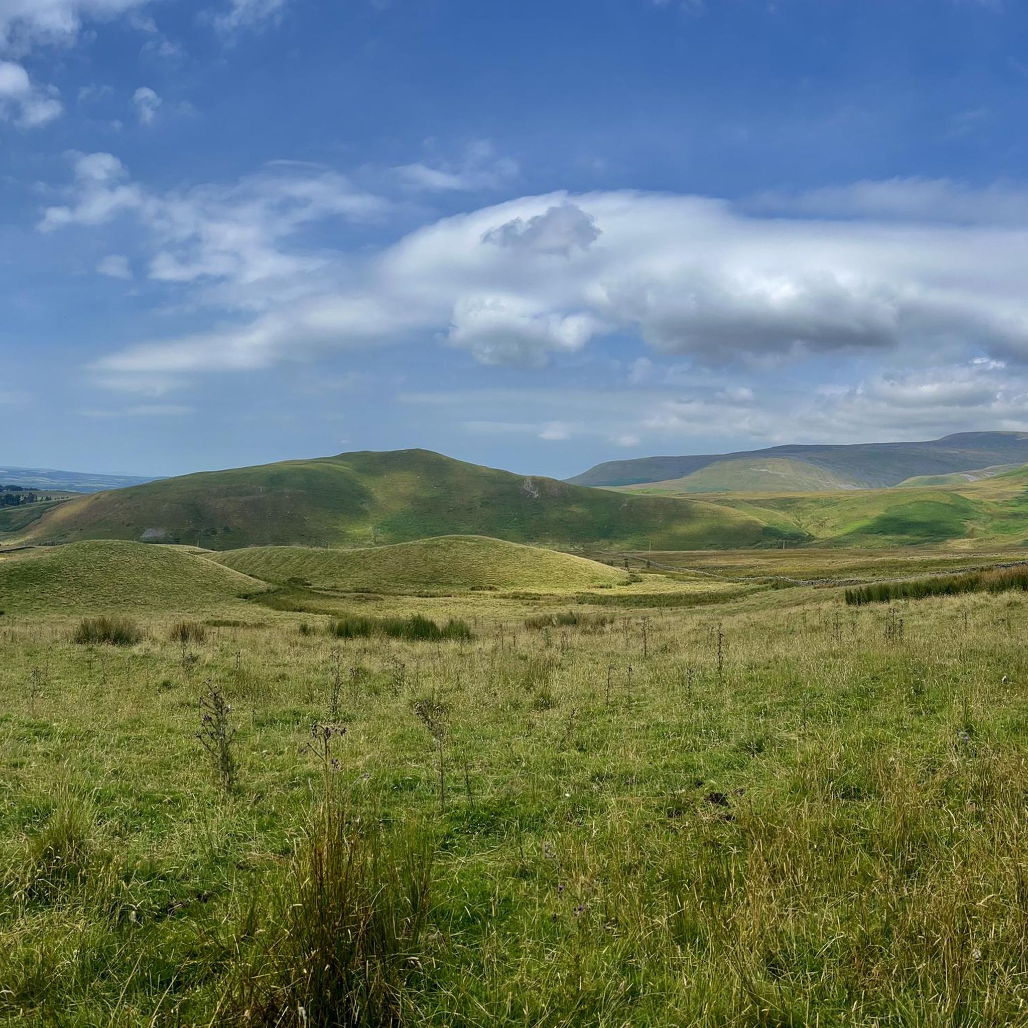
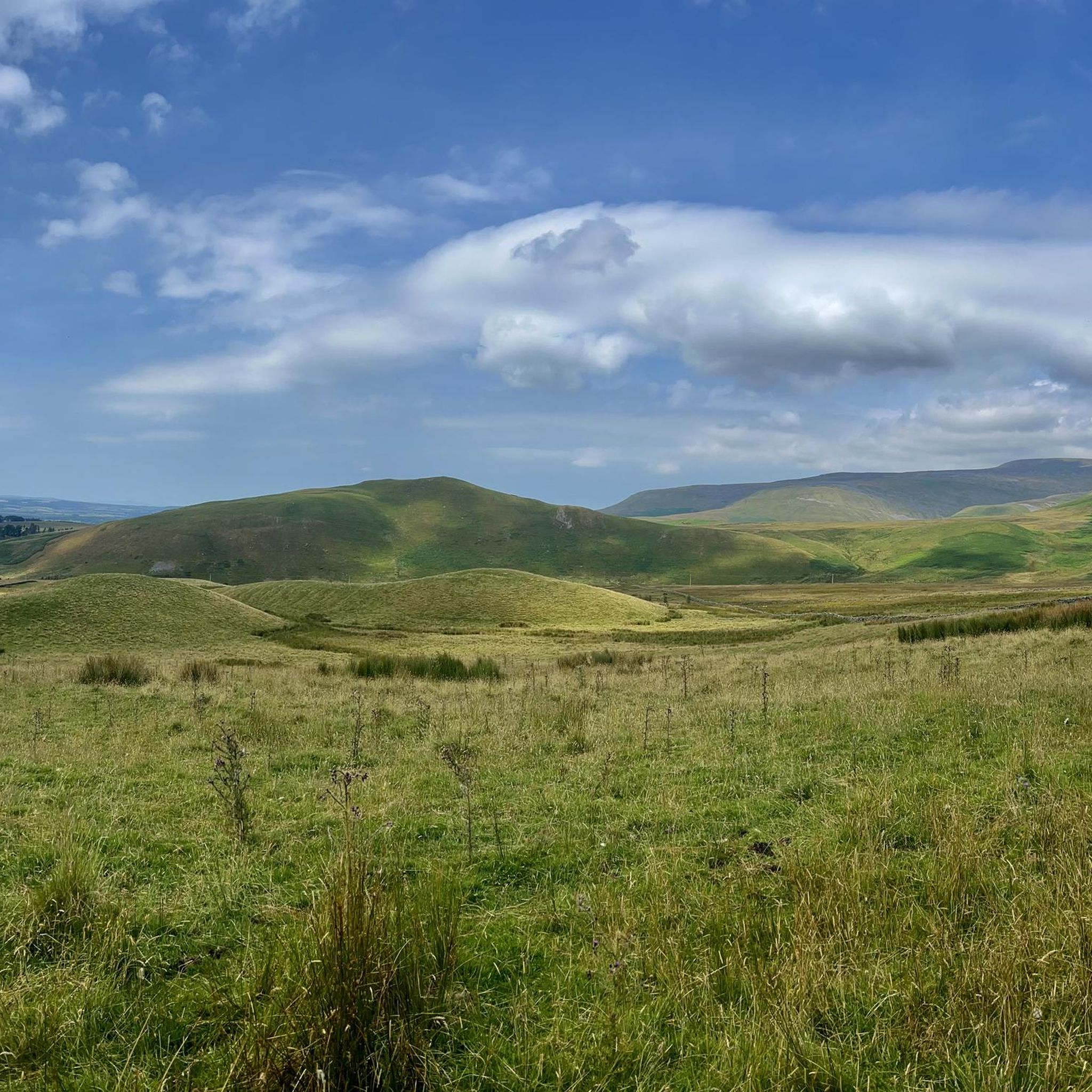
Mickle Fell is the highest peak in Yorkshire, depending on which list you look at. It is an imposing bulk of a mountain and difficult to get to as a large chunk of it is in the Warcop military training range and access is limited. Normally, 10–12 weekends are set aside annually by the military to allow hikers to walk one of two routes to its summit. There are two routes: the Northern Route and the Southern Route, and both require permits. I did the Southern Route, which is a linear route following a fence for most of the way. The middle section of this route is difficult and boggy. For further information, scheduled hiking days, and contact numbers, see the links below. Access Days — https://www.gov.uk/government/publications/warcop-access-times General Information — https://assets.publishing.service.gov.uk/media/5a79714ce5274a2acd18cdf4/dte_info_leaflet_northwest.pdf Application procedure — https://assets.publishing.service.gov.uk/media/66339f8e4d8bb7378fb6c172/WTA_Mickle_Fell_Access_Permit_Request_Procedures.pdf
3
0

One of the most impressive summits and views I’ve ever seen. Pics don’t do it justice. Amazing spot
2
0
Frequently Asked Questions
What are some of the most dramatic natural monuments to visit near Long Marton?
For dramatic landscapes, you should definitely visit High Cup Nick, a stunning U-shaped valley with breathtaking views across the Eden Valley. Another spectacular sight is Cauldron Snout Waterfall, where the River Tees cascades dramatically over dolerite steps within a rocky ravine.
Are there any high-altitude natural monuments offering panoramic views?
Yes, Cross Fell Summit, the highest point in the Pennines, offers far-reaching views of the Lake District and both the west and east coasts on clear days. Another challenging ascent is Mickle Fell Summit Cairn, which provides expansive views, though access is restricted to specific days due to its location within a military training range.
What kind of natural features can I expect to see around Long Marton?
The region around Long Marton, particularly within the North Pennines AONB, is rich in diverse natural features. You'll find dramatic waterfalls like Cauldron Snout and Ashgill Force, impressive gorges and valleys such as High Cup Nick, and towering mountain summits like Cross Fell.
Are there family-friendly natural monuments or walks near Long Marton?
Yes, Cauldron Snout Waterfall and Ashgill Force are both considered family-friendly, offering picturesque views and opportunities for exploration. While some paths can be challenging, these sites provide accessible options for families to enjoy the natural beauty.
What outdoor activities can I do near these natural monuments?
The area around Long Marton is excellent for various outdoor activities. You can find numerous running trails, including challenging routes like the 'High Cup Nick & the Pennine Way loop from Dufton' (see Running Trails around Long Marton). For cyclists, there are road cycling routes, such as the 'Great Dun Fell Climb loop from Appleby' (explore more at Road Cycling Routes around Long Marton).
What is the best time of year to visit the natural monuments around Long Marton?
The best time to visit is generally during the spring, summer, and early autumn months (May to October) when the weather is milder and the days are longer, making hiking and exploring more pleasant. However, the dramatic landscapes can also be stunning in winter, though conditions can be challenging with snow and ice, especially at higher elevations.
What should I wear for walks to these natural monuments?
Given the varied terrain and often unpredictable weather in the Pennines, it's advisable to wear sturdy, waterproof hiking boots. Layered clothing is recommended, including waterproof and windproof outer layers, as conditions can change rapidly. Don't forget a hat, gloves, and plenty of water, especially for longer or higher-altitude routes.
Are there any natural monuments that involve a bit of a scramble or more challenging terrain?
Yes, the path leading to Cauldron Snout Waterfall from Cow Green Dam involves a rocky scramble and can be treacherous when wet, requiring careful footing. Similarly, routes to summits like Cross Fell and Mickle Fell are challenging, often featuring boggy sections and significant elevation gain.
Where can I find unique geological formations in the area?
The region is known for its unique geology. High Cup Nick is an outstanding example of a glaciated U-shaped valley, featuring striking dolerite cliffs. Cauldron Snout Waterfall also showcases the geological impact of the Whin Sill, with the river descending over dolerite steps.
What do visitors particularly enjoy about the natural monuments around Long Marton?
Visitors frequently praise the breathtaking scenery and panoramic views, especially from spots like High Cup Nick and Cross Fell Summit. The dramatic nature of the waterfalls, like Cauldron Snout, and the rewarding challenge of the hikes are also highly appreciated.
Are there any natural monuments with restricted access?
Yes, access to Mickle Fell Summit Cairn is restricted because a large portion of it lies within the Warcop military training range. Public access is typically limited to 10-12 weekends annually, and permits are required to hike to its summit.
Can I walk behind any of the waterfalls in the area?
Yes, at Ashgill Force, it is possible to walk behind the waterfall. However, visitors should exercise caution as the area can be very slippery underfoot, especially after rain.
Most popular routes around Long Marton
Most popular attractions around Long Marton

Get inspired with the komoot mobile app


Explore more
Extend your search for the best caves by checking out these guides of the top ones around Long Marton:
