The best walks and hikes around Lautzenbrücken
4.6
(1438)
5,316
hikers
13
hikes
Hiking around Lautzenbrücken offers access to diverse landscapes within Rheinland-Pfalz, characterized by dense forests, rolling hills, and river valleys. The region benefits from its location near the Westerwald, providing varied topography for outdoor activities. Trails often follow streams and lead through areas shaped by ancient geological activity, including basalt formations.
Best hiking trails around Lautzenbrücken
- The most popular hiking route is Lautzenbrücken Pond – Hohensayn Ostrich Farm loop from Bad Marienberg (Westerwald), a 4.8 miles (7.7 km) trail that…
Last updated: October 8, 2026
4.4
(12)
62
hikers
Easy hike. Great for any fitness level. Easily-accessible paths. Suitable for all skill levels.
4.6
(9)
34
hikers
Moderate hike. Good fitness required. Easily-accessible paths. Suitable for all skill levels.

4.0
(2)
11
hikers
Easy hike. Great for any fitness level. Easily-accessible paths. Suitable for all skill levels.
3.5
(2)
19
hikers
Easy hike. Great for any fitness level. Easily-accessible paths. Suitable for all skill levels.
4.8
(8)
31
hikers
5.65km
01:34
100m
100m
Easy hike. Great for any fitness level. Easily-accessible paths. Suitable for all skill levels.
Get access to more routes and recommendations from other explorers.
Already have an account?
Our route recommendations are based on thousands of hikes, rides, and runs completed by other people on komoot.
Start today with a free account
Your next adventure awaits.
Tips from the Community

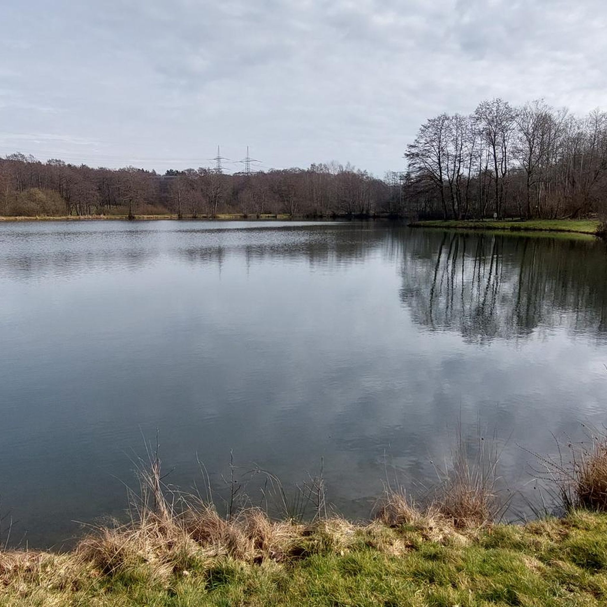
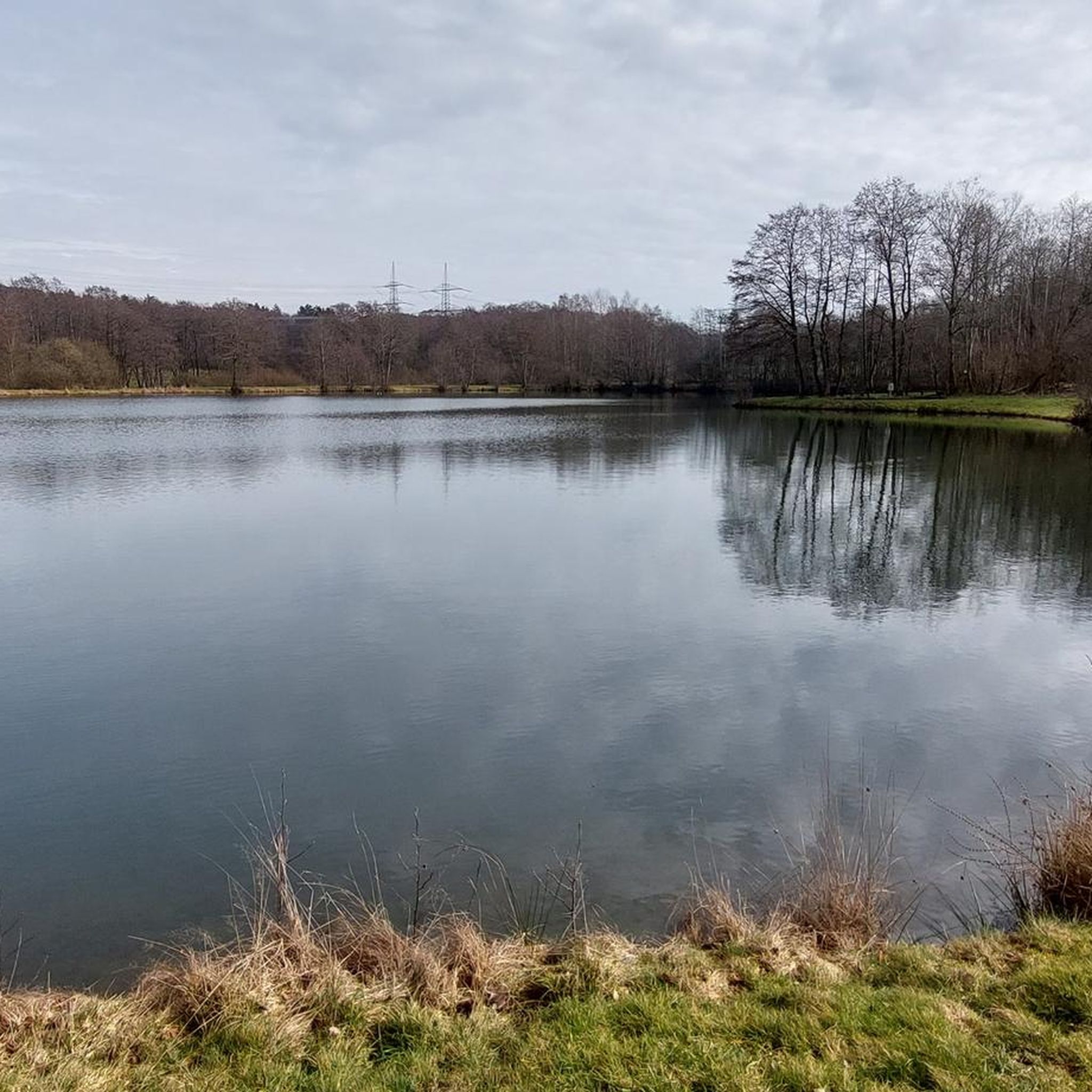
Super great well-maintained fishing water on the bike path.
0
0
Very beautifully located fishing water and very well-maintained by the bike path.
0
0

Beautiful between the enclosures
0
0
Here you can go to the wild animals in the enclosure, it is very intrusive but cute and sweet :-)
0
0
Nice, you can drink coffee up there
0
0
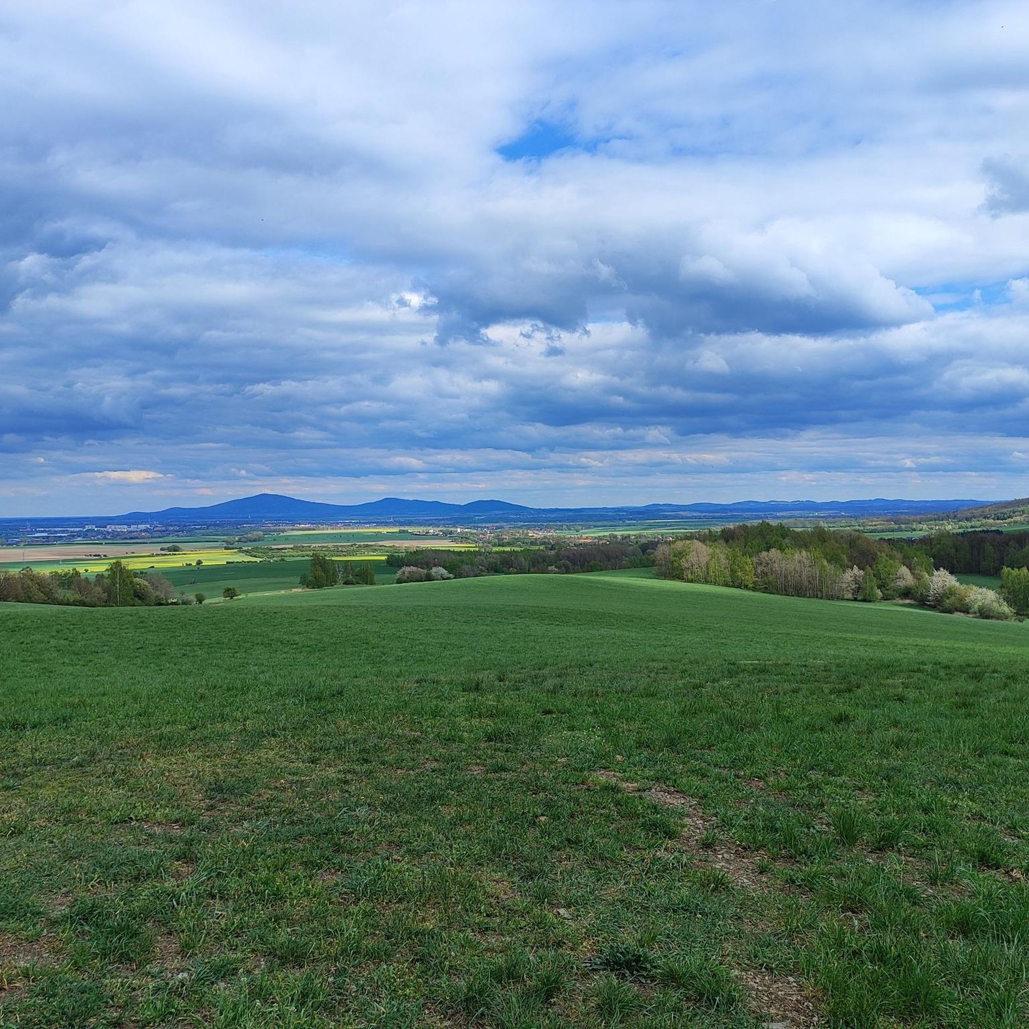
Beautiful to look at and great for photos
0
0
Frequently Asked Questions
How many hiking trails are available around Lautzenbrücken?
The Lautzenbrücken area offers a selection of 13 hiking routes, primarily within the Westerwald region. These trails cater to various preferences, with a strong emphasis on easy to moderate walks through diverse landscapes.
Are there easy hiking trails suitable for beginners or families?
Yes, Lautzenbrücken is well-suited for beginners and families, with 11 out of 13 routes classified as easy. An excellent option is the Großes Wiesen Basalt Formation – Great Wolfstein loop from Lautzenbrücken, an easy 4 km path featuring notable basalt formations and scenic views.
What kind of terrain can I expect on hikes near Lautzenbrücken?
Hikes near Lautzenbrücken traverse diverse terrain, including dense forests, rolling hills, and river-carved valleys characteristic of the Westerwald and Eifel regions. You'll encounter paths along streams, past basalt formations, and through open rural landscapes.
Are there any circular hiking routes in the Lautzenbrücken area?
Yes, many of the trails around Lautzenbrücken are designed as circular routes, offering convenient starting and ending points. For example, the Hohensayn Ostrich Farm – Straußenhof Hohensayn loop from Lautzenbrücken is a popular circular trail leading through gentle hills.
What natural features or landmarks can I discover on these hikes?
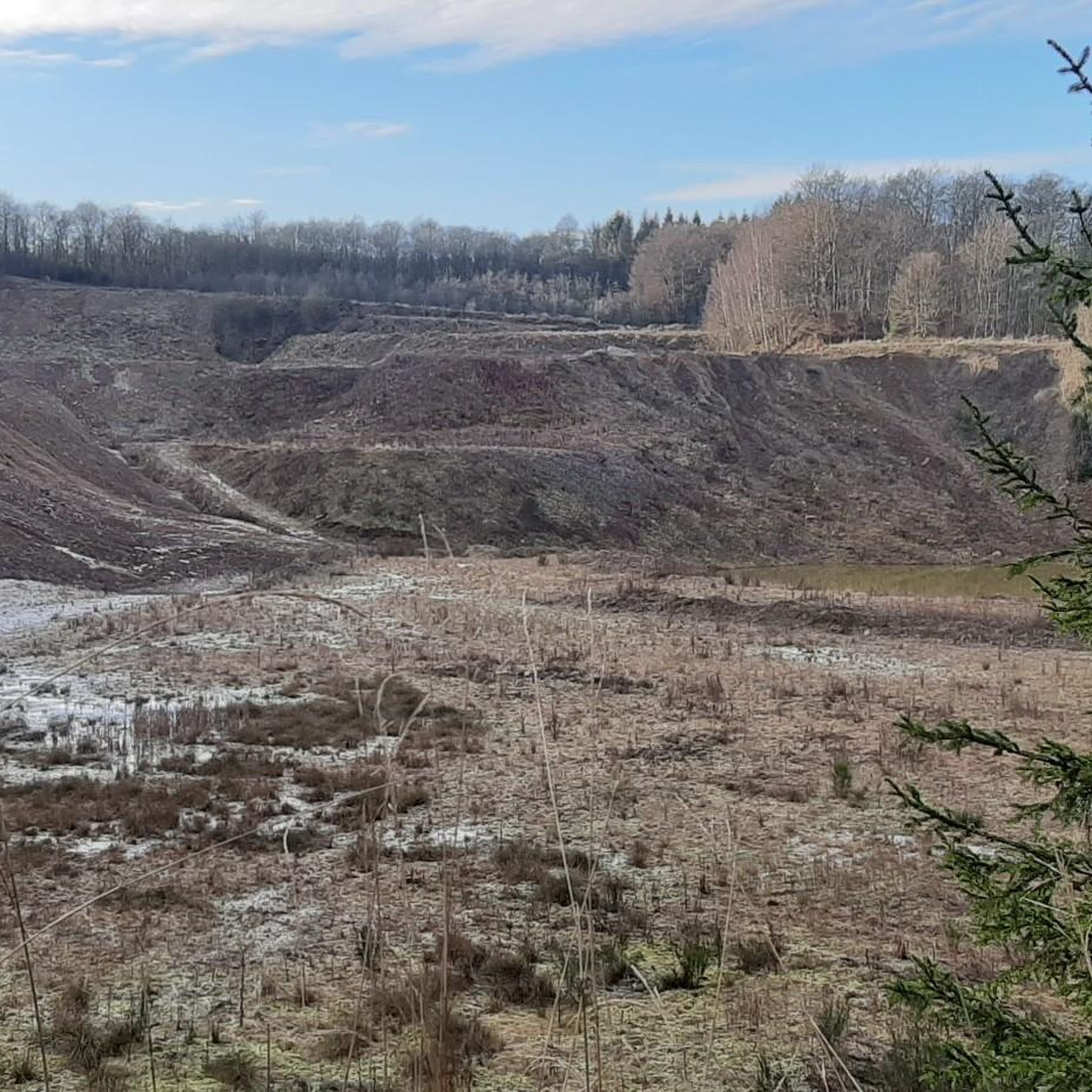
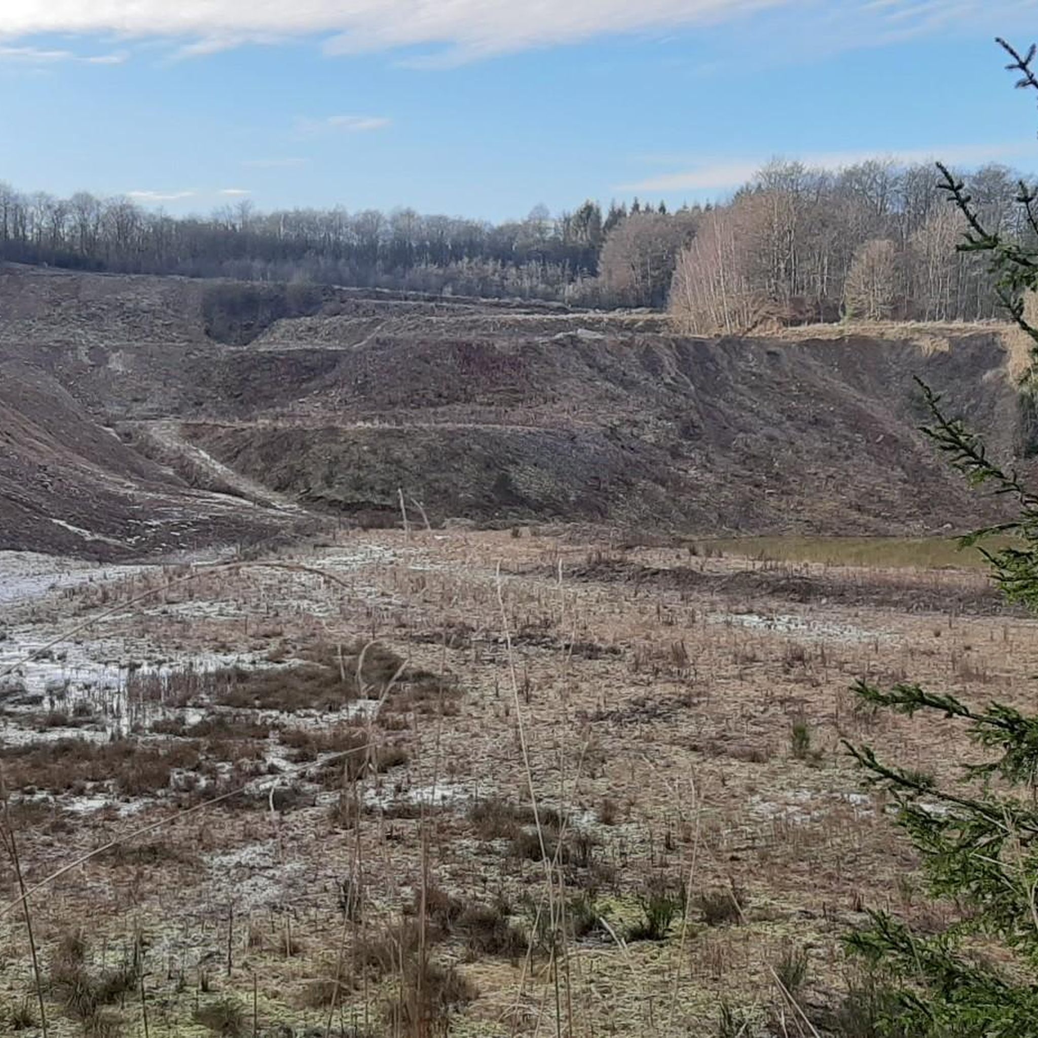
The region is rich in natural beauty. You can explore unique geological formations like the Bacher Lay Basalt Quarry and the Großes Wiesen Basalt Formation. Trails also follow rivers such as the Schwarze Nister, and lead through scenic gorges like the Holzbach Gorge near Hachenburg and the Elbbach Valley.
Are there any specific attractions or points of interest along the trails?
Beyond natural features, some routes offer unique attractions. The Lautzenbrücken Pond – Hohensayn Ostrich Farm loop, for instance, passes by a local ostrich farm. You might also encounter wildlife enclosures, such as the Red Deer Enclosure, on trails like the Red Deer Enclosure Westerwald – Hedwigsturm loop.
Can I hike with my dog in Lautzenbrücken?
The natural landscapes around Lautzenbrücken are generally dog-friendly. Many trails wind through forests and open areas, providing ample space for dogs. Always ensure your dog is on a leash where required and respect local wildlife and other hikers.
What is the best time of year to go hiking in Lautzenbrücken?
The diverse landscapes of Lautzenbrücken, with its forests and river valleys, are enjoyable throughout much of the year. Spring brings lush greenery, summer offers pleasant temperatures for forest walks, and autumn showcases vibrant foliage. Winter hiking is also possible, though conditions may vary.
Where can I find parking for hiking trails in Lautzenbrücken?
While specific parking details vary by trailhead, Lautzenbrücken and nearby towns like Bad Marienberg typically offer designated parking areas for hikers. Many routes, being loops, often start and end near accessible parking spots within the villages or at popular attractions.
Is public transport available to reach the hiking areas around Lautzenbrücken?
Lautzenbrücken is situated in Rheinland-Pfalz, and while public transport options exist, they might be less frequent for direct access to every trailhead compared to larger urban centers. It's advisable to check local bus schedules for connections from nearby towns to specific starting points.
What do other hikers say about the trails in Lautzenbrücken?
The hiking trails in Lautzenbrücken are highly regarded by the komoot community, with an average rating of 4.6 stars from over 1,300 reviews. Hikers frequently praise the well-maintained paths, the peaceful forest environments, and the variety of natural sights, including basalt formations and river views.
Are there any trails that pass by water bodies or rivers?
Yes, the region is characterized by its water bodies. Many trails follow streams and rivers, such as the Schwarze Nister, offering tranquil riverside walks. You can also find routes that pass by ponds, like the Lautzenbrücken Pond – Hohensayn Ostrich Farm loop.
Are there any huts or places to stop for refreshments along the trails?
Yes, the area features several huts and rest stops. You might encounter places like the Jöckel's Alpenröder Hut or the Steig Alm, Westerwald, which can offer a welcome break and refreshments during your hike. The Lakeside Rest Area at Wiesensee is another pleasant spot.
Most popular routes around Lautzenbrücken
Most popular attractions around Lautzenbrücken

Get inspired with the komoot mobile app


Explore more
Browse the best Hikes in other regions.
