The best cycling routes around Lautert
4.5
(3529)
15,497
riders
371
rides
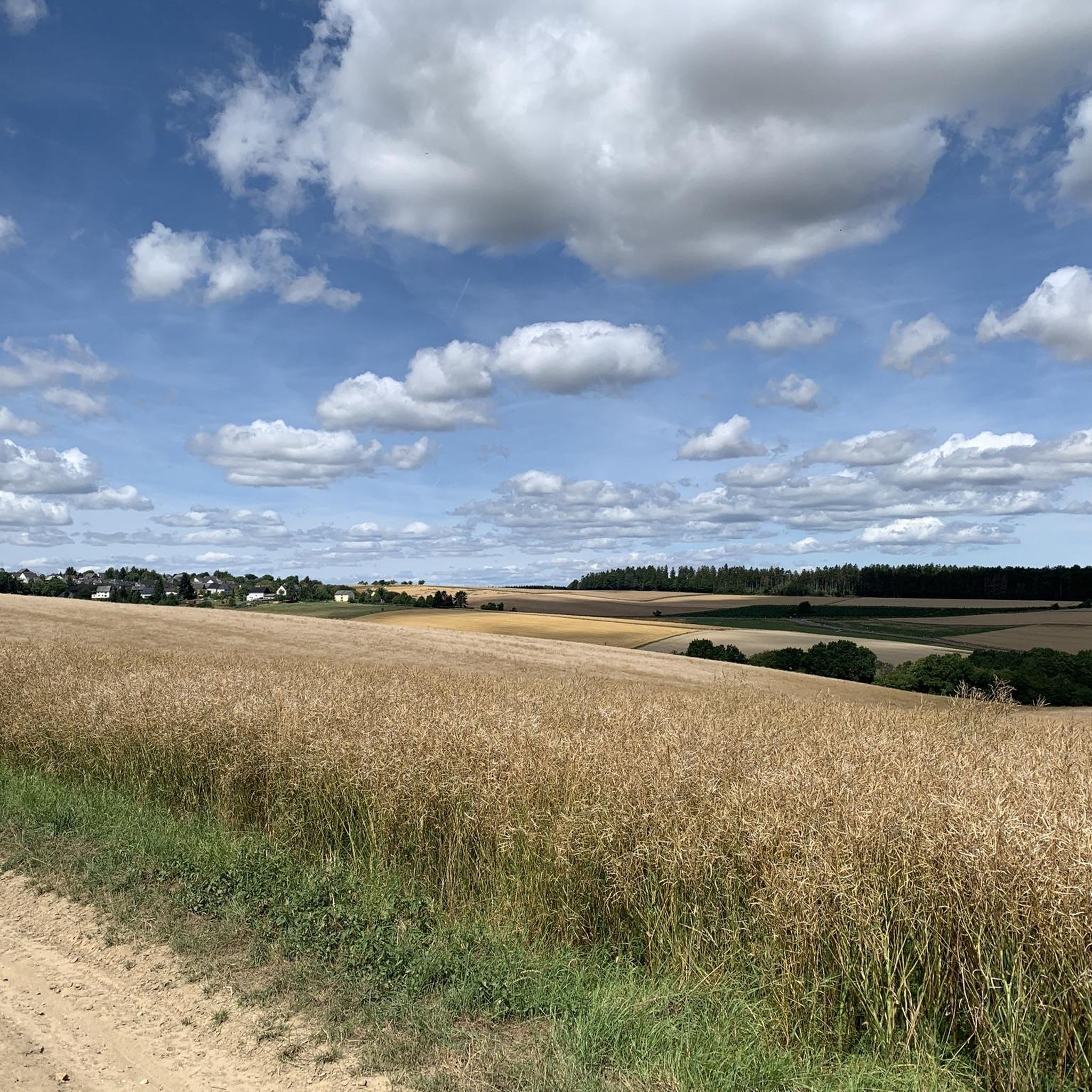
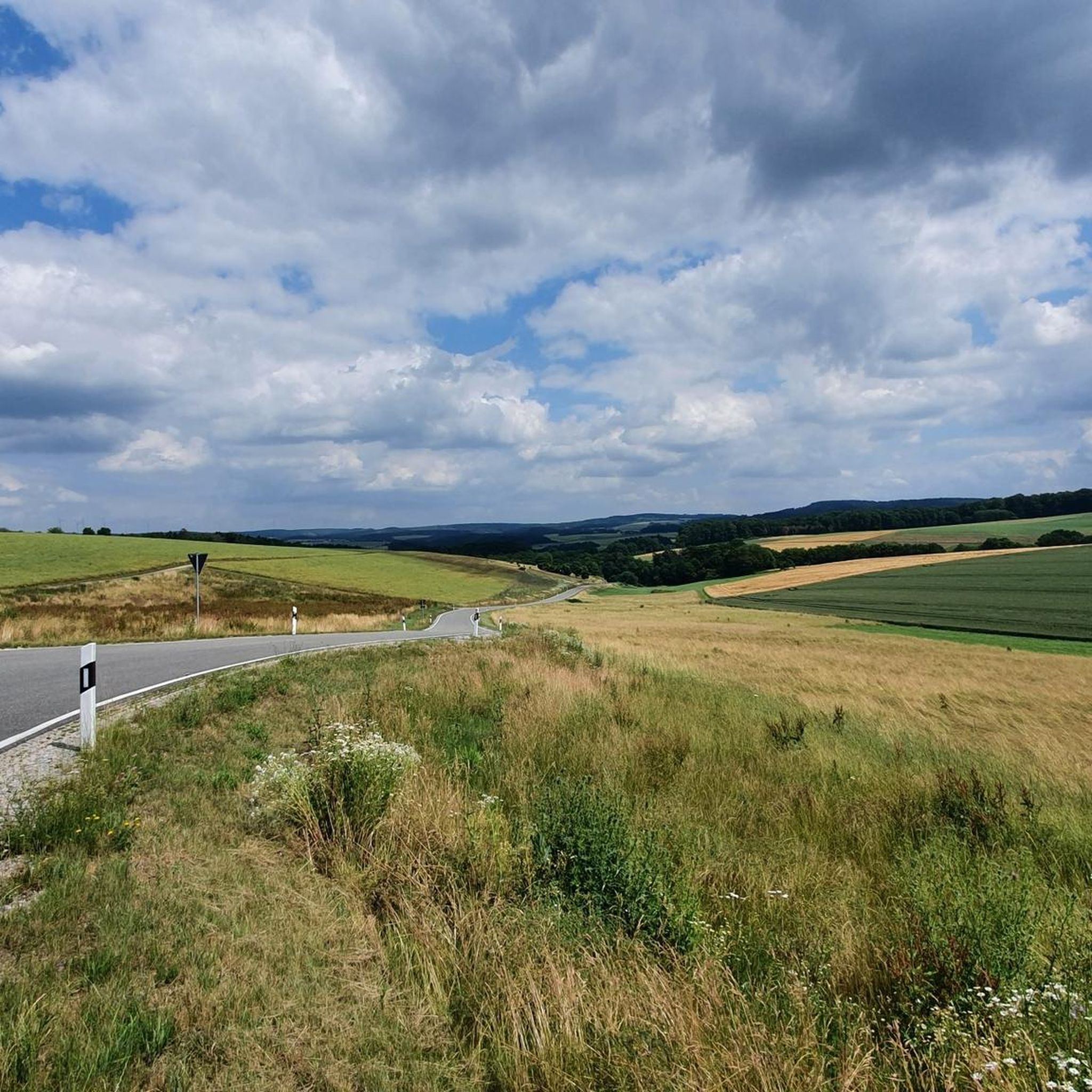
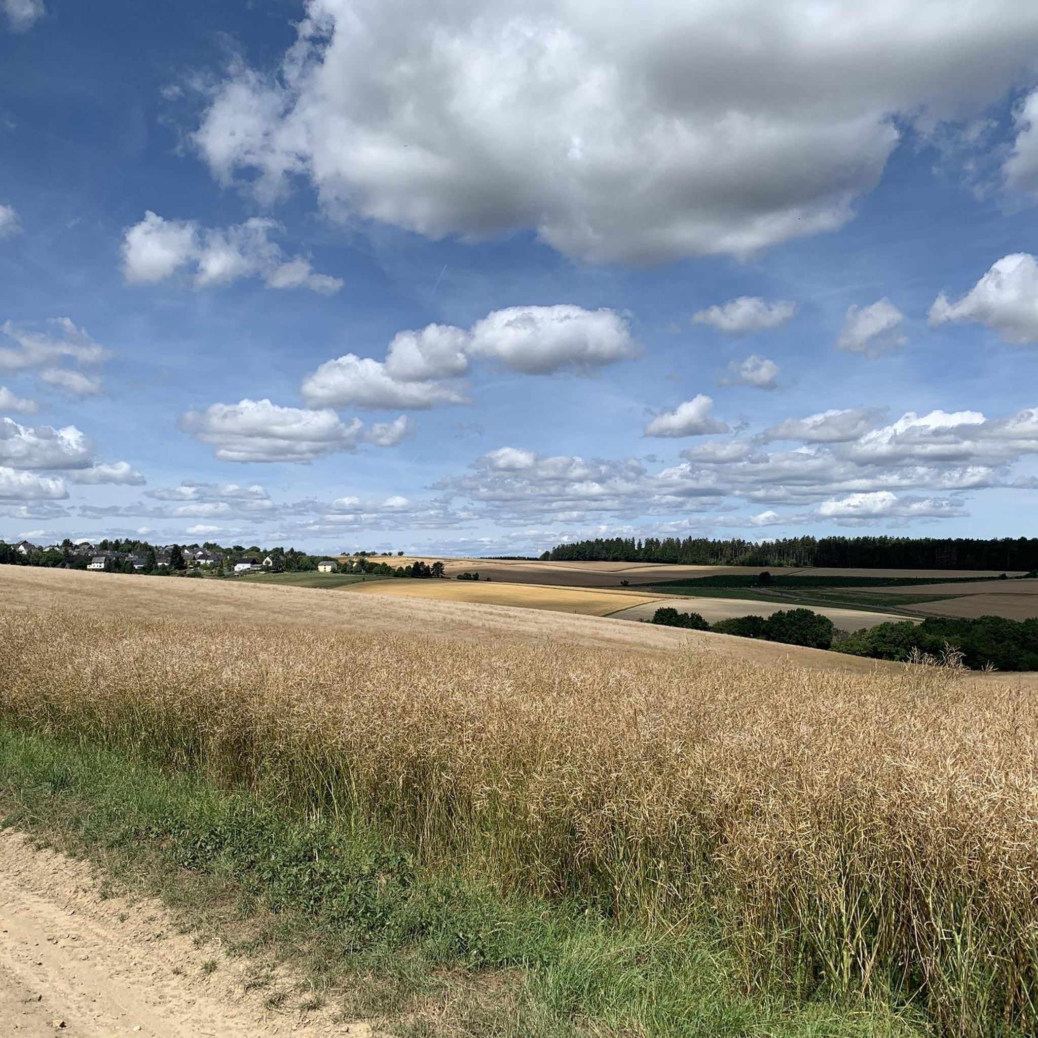
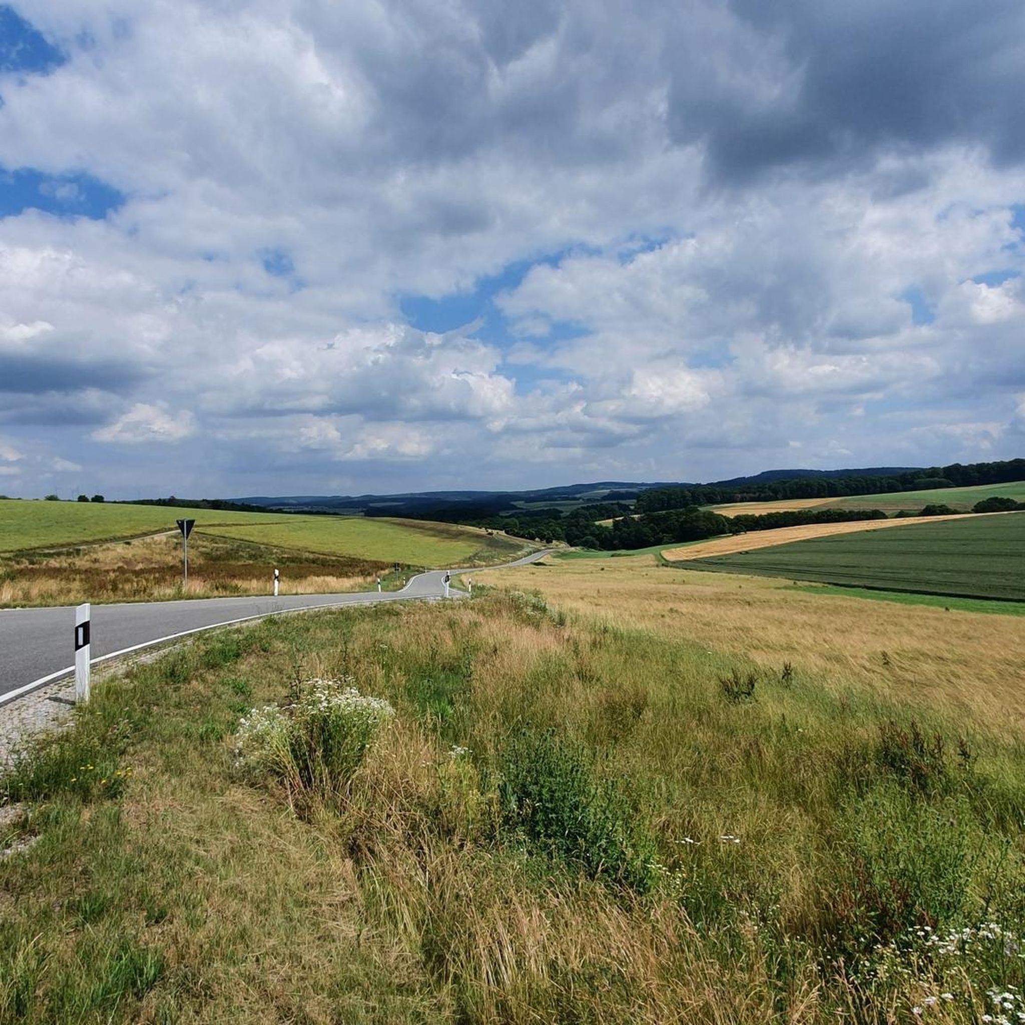
Touring cycling routes around Lautert are situated at the foot of the Taunus Mountains in the Rhein-Lahn district of Rhineland-Palatinate, Germany. The region features rolling hills, forests, and meadows, providing a varied landscape for cyclists. Routes often traverse less-traveled roads and can include gravel paths, offering diverse terrain. The area's proximity to the Taunus Mountains contributes to varied elevation profiles across its cycling network.
Best touring cycling routes around Lautert
- The most popular touring cycling route is View from Marienfels…
Last updated: October 4, 2026
4.8
(6)
33
riders
50.6km
04:04
750m
750m
Hard bike ride. Very good fitness required. You may need to push your bike for some segments of this route.
4.2
(6)
14
riders
Moderate bike ride. Good fitness required. Mostly paved surfaces. Suitable for all skill levels.

3.3
(3)
9
riders
28.4km
01:52
370m
370m
Moderate bike ride. Good fitness required. Mostly paved surfaces. Suitable for all skill levels.
5.0
(4)
13
riders
21.7km
01:33
250m
250m
Moderate bike ride. Good fitness required. Mostly paved surfaces. Suitable for all skill levels.
5.0
(2)
10
riders
34.6km
02:45
560m
560m
Hard bike ride. Very good fitness required. Mostly paved surfaces. Suitable for all skill levels.
Get access to more routes and recommendations from other explorers.
Already have an account?
Our route recommendations are based on thousands of hikes, rides, and runs completed by other people on komoot.
Start today with a free account
Your next adventure awaits.
Tips from the Community

Here you can also refill your drink bottle.
0
0
The bridge with the church in the background is really a beautiful motif.
0
0
The artificially created water surface has a calming effect. From the shelter, there is a beautiful view over the lake.
0
0

Rock passage in the Mühlbachtal. Short clip filmed with the DJI Neo 2. It finally worked on the 3rd try 😁 https://youtu.be/pKT0AohOr7o
1
0

Has since been redesigned. New: seating area with a roof
0
0

Added to the collection: komoot.com/de-de/collection/3600632/-naturdenkmaeler-besondere-baeume-und-weitere-schaetze-der-natur
1
0

The refuge is located directly at the Hausecker Forest, directly on the over 2,000-year-old Roman road, a historic trade and military route. It is located within the UNESCO World Heritage Upper Middle Rhine Valley Cultural Landscape, which underscores its cultural significance.
1
0
Good to drive and nice view
0
0
Frequently Asked Questions
How many touring cycling routes are available around Lautert?
There are over 370 touring cycling routes in the Lautert region, offering a wide variety of options for different preferences and skill levels. The komoot community has explored these routes over 18,000 times.
What are the difficulty levels of touring cycling routes in Lautert?
The routes around Lautert cater to all abilities. You'll find approximately 50 easy routes, 168 moderate routes, and 157 difficult routes. The terrain varies from mostly paved surfaces to more challenging options with unpaved segments and significant elevation gains, especially due to the region's rolling hills and proximity to the Taunus Mountains.
Are there any circular touring cycling routes in the Lautert area?
Yes, many routes in the Lautert region are designed as loops, allowing you to start and end at the same point. For example, the Hof Offenthal – Rural Landscape Near Bogel loop from Rettershain is a moderate 16.3-mile (26.2 km) path winding through rural landscapes. Another option is the Thick Oak Endlichhofen – View of the Taunus Countryside loop from Lipporn, which is 17.5 miles (28.1 km) long.
What kind of terrain can I expect on touring cycling routes around Lautert?
The Lautert region, nestled at the foot of the Taunus Mountains, offers diverse terrain. You can expect routes that traverse rolling hills, dense forests, and open meadows. While many paths are paved, some routes may include gravel sections, providing a varied cycling experience. The tranquil Kleine Lautertal valley, in particular, offers cycle paths with minimal traffic through serene natural settings.
What natural attractions or viewpoints can I discover along the touring cycling routes?
The region boasts several stunning natural attractions and viewpoints. You can cycle past the famous View of the Loreley Rock, or enjoy the Wackenberghütte Viewpoint with views of St. Goar and Rheinfels Castle. The Felsenkanzel Viewpoint also offers panoramic views overlooking the Rhine and the Loreley. For a unique natural feature, consider visiting the St. Goar Waterfall.
Are there any cultural or historical landmarks to see while cycling?
Yes, the Lautert region is rich in history. Lautert itself features the historic St. Michael's Church, dating back to the 12th century, and a charming village center with half-timbered houses. Further afield, you might encounter the Loreley Statue on the Rhine, a significant cultural landmark.
Are there routes suitable for families or beginners?
Absolutely. The region offers around 50 easy routes, many of which are suitable for families and beginners. These often feature mostly paved surfaces and less significant elevation changes. The tranquil Kleine Lautertal valley is particularly noted for its cycle paths with minimal traffic, providing a peaceful and safe environment for all skill levels.
What do other touring cyclists enjoy most about cycling in Lautert?
The touring cycling routes around Lautert are highly rated by the komoot community, with an average score of 4.6 stars from over 3,900 reviews. Cyclists often praise the varied landscape of rolling hills, forests, and meadows, as well as the low traffic on many routes. The diverse network offers options for different ability levels, from easy rides to more challenging routes with significant elevation gains.
What is the best time of year for touring cycling in Lautert?
The spring, summer, and early autumn months generally offer the most pleasant conditions for touring cycling in Lautert. During these seasons, the weather is typically mild, allowing you to fully enjoy the region's natural beauty, including the Lahn river for boat trips and swimming in summer. Many routes are noted for having refreshment opportunities along the way, which are particularly welcome in warmer weather.
Are there any longer touring cycling paths that connect to other regions?
Yes, the broader Lautertal areas are known for connecting to significant long-distance cycle paths. The Lautertal Cycle Path, located between Lauterecken and Kaiserslautern, connects with the Glan-Blies Cycle Path, which is recognized as one of the most beautiful cycle paths in southwest Germany. These connections offer excellent opportunities for extended touring adventures through charming villages and natural areas.
Can I find routes with significant elevation gain for a challenging ride?
Certainly. Given Lautert's location at the foot of the Taunus Mountains, there are 157 difficult routes available, many of which feature significant elevation gains. For instance, the View from Marienfels – Hauserbachsee loop from Niedermeilingen is a difficult 31.4-mile (50.5 km) route with over 740 meters of elevation gain, offering expansive views and varied terrain for experienced cyclists.
Are there opportunities for refreshments along the cycling routes?
Yes, many routes in the Lautertal areas are noted for having opportunities to refresh yourself. After a day of cycling, you can enjoy the regional cuisine at local inns, which often offer specialties like Handkäs' mit Musik and Rippchen mit Kraut.
Most popular attractions around Lautert

Get inspired with the komoot mobile app


Explore more
Browse the best Cycling routes in other regions.
