Top 5 Mountain Passes around Poncha Springs
Best mountain passes around Poncha Springs offers access to several notable mountain passes, each providing distinct features. The region is known as "The Crossroads of the Rockies" due to its strategic location. These passes are situated between the Sangre de Cristo and Sawatch mountain ranges, often marking significant geographical boundaries like the Continental Divide. The area provides diverse terrain for outdoor activities.
Best mountain passes around Poncha Springs
- The most popular mountain passes is Poncha Pass, a mountain pass…
Last updated: September 28, 2026
Monarch Pass Climb East
Highlight (Segment) • Climb
Tip by

Poncha Pass
Highlight • Mountain Pass
Tip by

Sign up now to discover places like this
Get recommendations on the best single tracks, peaks, & plenty of other exciting outdoor places.
Marshall Pass Road
Highlight (Segment) • Mountain Pass
Tip by

Marshall Pass Dispersed Campground and Orientation Map
Highlight • Rest Area
Tip by

Collegiate Peaks View
Highlight • Viewpoint
Tip by
Start today with a free account
Your next adventure awaits.

Tips from the Community

Marshall Pass offers dispersed camping near the Continental Divide in Colorado. The terrain consists of forested areas and mountain landscapes. Nearby attractions include the Monarch Crest Trail and the historic town of Salida, with temperatures ranging from 30°F in winter to 80°F in summer.
0
0

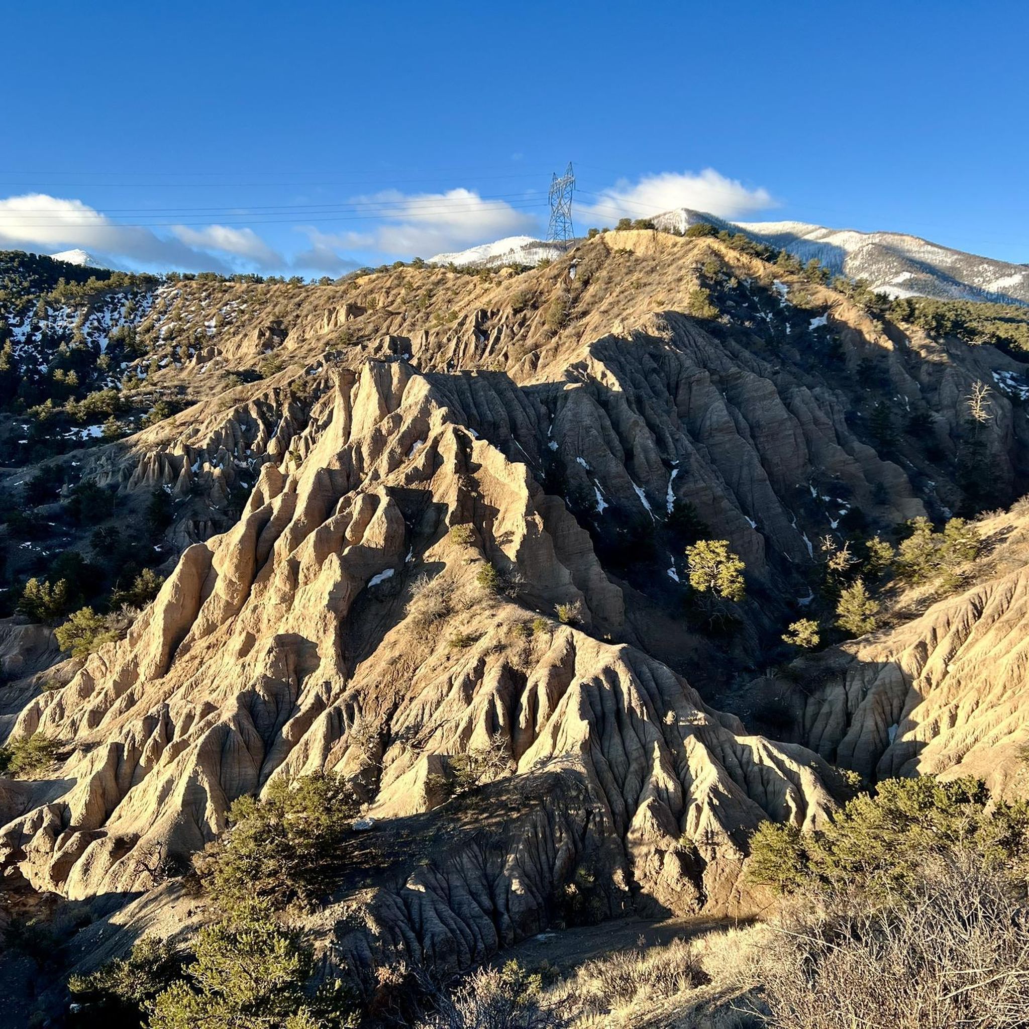
Monarch Pass from the east is a classic road biking ascent on US Highway 50, taking you high into the Sawatch Range towards the Continental Divide. Starting around 8,100 feet, you'll climb approximately 11.3 to 11.5 miles, gaining about 3,000 feet to the 11,312-foot summit, with a moderate average gradient around 4.9-5.1% that ramps up slightly after the initial miles. You'll follow the Arkansas River valley and climb through forests, and while you're in the sun for much of this side, the panoramic views from the summit are truly spectacular. Be prepared for the altitude and moderate traffic on this well-traveled mountain highway.
0
0

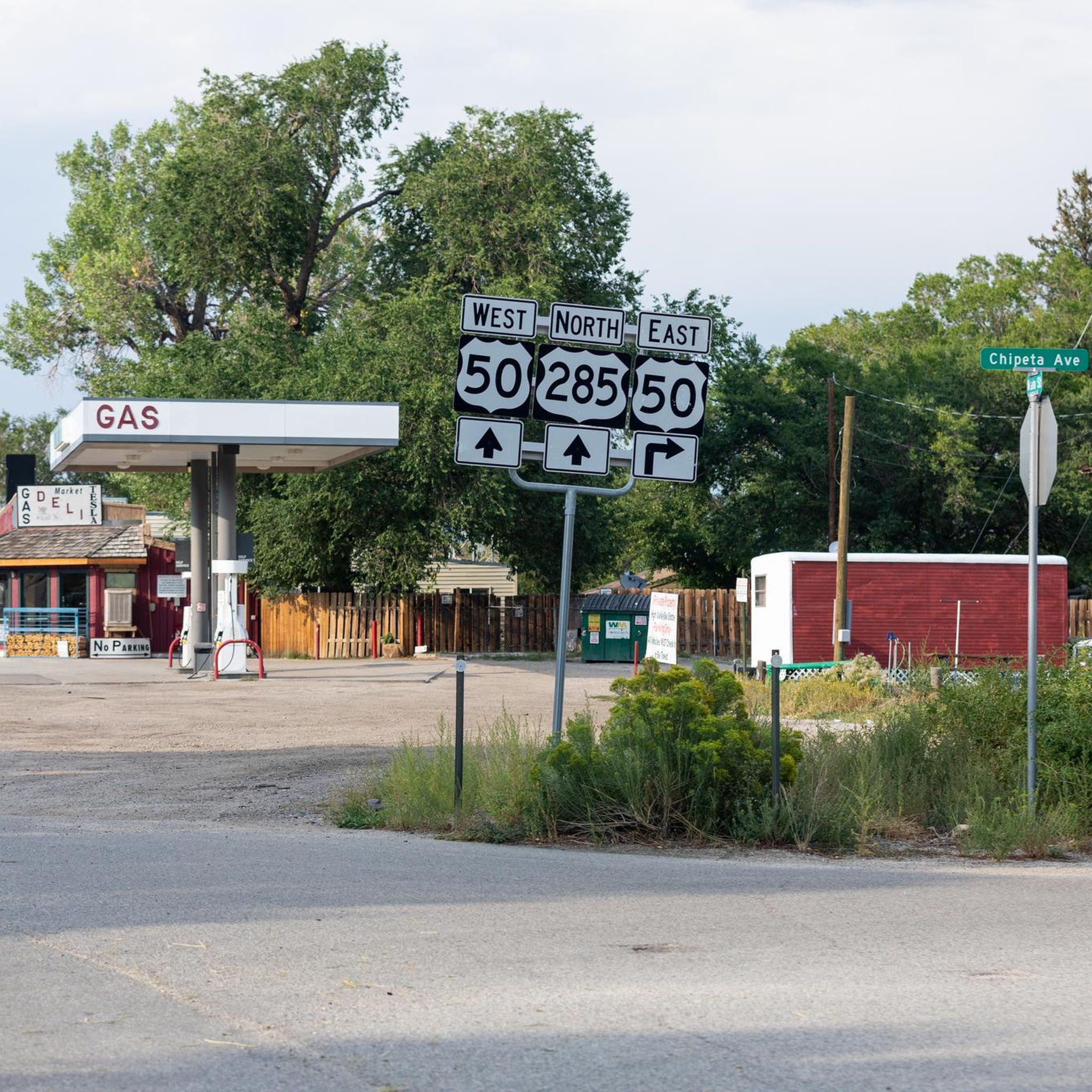
Poncha Pass stands at 9,010 feet and is a beautiful wide, open summit that marks the boundaries between Chaffee County and Saguache Counties, as well as the entrance to the San Luis Valley. This is a great place to admire the views, sip some water, and snap some photos before continuing on your ride.
1
0

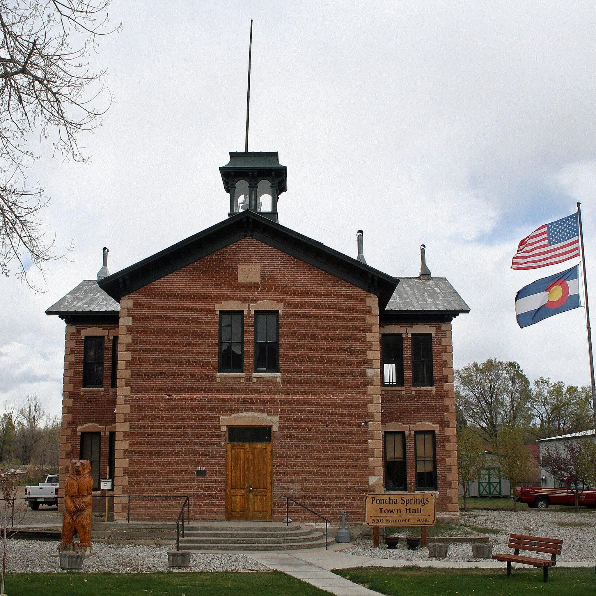
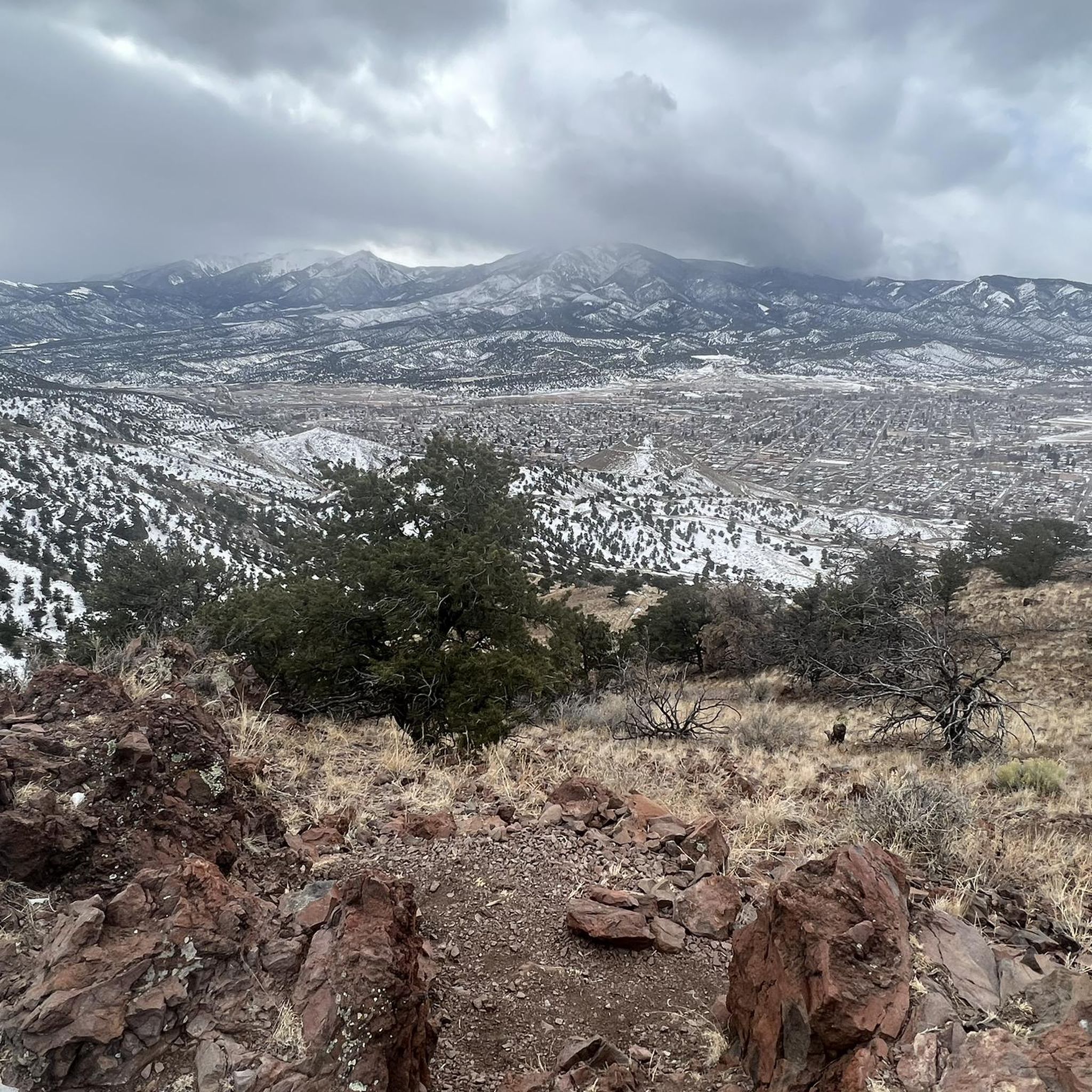
What a great landscape! Some of the mountains have names of prominent universities like Princeton, Yale or Harvard. That's why they are called Collegiate Peaks.
1
0
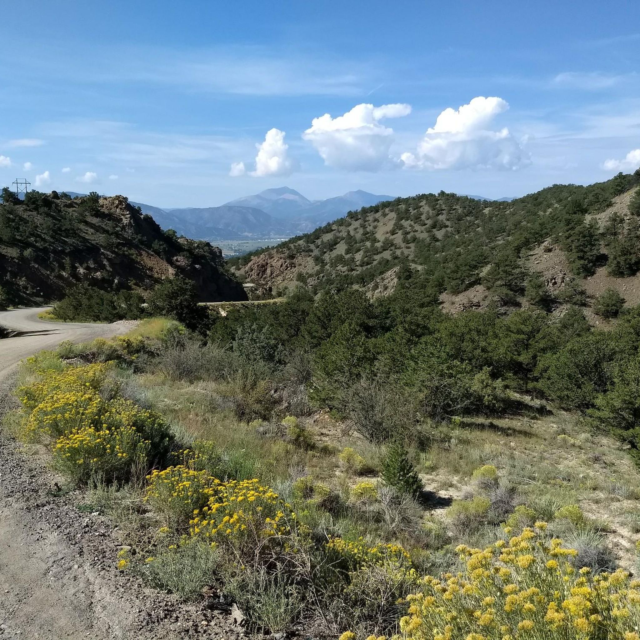
If you want to do loop rides in the region of the Monarch Crest trail this is your go-to climb. Marshall Pass Road is a former railroad that never climbs steeply. When you reach the top you are right at the Monarch Pass at the Continental Divide. Here you have a great variety of trail options like Silver Creek, Starvation Creek or Agate Creek. This gravel road is also an option if you want to get off the Crest as quickly as possible – for instance – if you need to escape a thunderstorm quickly.
1
0
Frequently Asked Questions
What are the most popular mountain passes around Poncha Springs?
The most popular mountain passes in the area include Poncha Pass, known for its year-round accessibility and historical significance, and Monarch Pass Climb East, which offers challenging ascents and panoramic views from the Continental Divide. Marshall Pass Road is also highly regarded for its scenic gravel route and access to various trails.
What unique features does Poncha Pass offer visitors?
Poncha Pass, at 9,010 feet, provides breathtaking panoramic views of the Sangre de Cristo and Sawatch mountains. It's easily accessible via U.S. Highway 285 and is popular for road and mountain cycling. Visitors can also enjoy O'Haver Lake for fishing, nearby natural hot springs in Salida, yurt rentals, and disc golf.
What activities can I do at Monarch Pass?
Monarch Pass, located on the Continental Divide, is a hub for activities. You can enjoy spectacular 360-degree views, visit the Monarch Mountain Ski Resort for skiing and snowboarding in winter, or take the Monarch Crest Scenic Tramway in summer. It also serves as a trailhead for the Continental Divide National Scenic Trail, popular for hiking and mountain biking, and offers fishing in the South Arkansas River.
What makes Marshall Pass a unique destination?
Marshall Pass Road offers a scenic backcountry alternative to U.S. Highway 50, traversed by a gravel road that follows an old railroad route. It's renowned for stunning fall colors, ATV riding, and is a popular base for hiking and biking along the Colorado Trail and Marshall Pass Trail. Primitive and dispersed camping are also available in the surrounding Gunnison National Forest.
Are there family-friendly mountain passes or activities in the area?
Yes, Monarch Pass is home to the Monarch Mountain Ski Resort, a popular family destination for skiing, snowboarding, and downhill tubing. Additionally, the Collegiate Peaks View offers a family-friendly viewpoint with scenic landscapes. Many of the easier hiking and biking trails near the passes are also suitable for families.
What is the best time to visit the mountain passes around Poncha Springs?
The best time largely depends on your desired activities. Summer and fall offer ideal conditions for hiking, biking, and scenic drives, with fall being particularly stunning for aspen colors around Marshall Pass. Winter provides opportunities for skiing and snowmobiling, though some passes like Marshall Pass are closed to vehicles during this season. Always check weather conditions before visiting, especially at higher elevations.
What kind of historical significance do these mountain passes hold?
The mountain passes around Poncha Springs have rich historical significance. Poncha Pass was traversed by Spanish explorer Juan Batista de Anza in 1779 and later became a route for trappers and a narrow-gauge rail line. Marshall Pass was home to the first railroad route to cross the Continental Divide in Colorado in 1881, operating until 1955.
What outdoor activities can I do near these mountain passes?
The area offers a wide range of outdoor activities. You can find excellent options for hiking, running, and mountain biking. For hiking, explore trails like Little Rainbow and Spartan Loop or Rodeo Run Trail. Running enthusiasts can enjoy routes like Salida River Trail to Frantz Lake. For more details on these activities, refer to the Hiking around Poncha Springs and Running Trails around Poncha Springs guides.
How accessible are the mountain passes, and what are the road conditions?
Poncha Pass is highly accessible year-round via U.S. Highway 285, which is well-maintained asphalt. Monarch Pass is also on a fully paved road (U.S. Highway 50), though winter conditions can be hazardous. Marshall Pass Road is a gravel road, generally accessible to most vehicles in good conditions, but it closes to vehicles in winter, becoming suitable for snowmobiling and snowshoeing.
Are there opportunities for camping near the mountain passes?
Yes, there are camping opportunities. Marshall Pass offers primitive and dispersed camping in the surrounding Gunnison National Forest. You can find more information about specific camping areas like Marshall Pass Dispersed Campground and Orientation Map. Additionally, yurt rentals are available near Poncha Pass.
Where can I find scenic viewpoints around Poncha Springs?
Many of the mountain passes themselves offer spectacular views. Poncha Pass provides panoramic views of the Sangre de Cristo and Sawatch mountains. Monarch Pass offers 360-degree vistas of the Sawatch Range and central Colorado. The Collegiate Peaks View is another notable viewpoint, showcasing mountains named after prominent universities.
What should I know about winter access to the mountain passes?
Winter conditions can significantly impact access. While Poncha Pass and Monarch Pass (via paved highways) are generally accessible, visitors should be prepared for snow and ice, and potential closures. Marshall Pass is closed to vehicles in winter but transforms into a popular spot for snowmobiling and snowshoeing. Always check local road conditions and weather forecasts before heading out in winter.
Most popular attractions around Poncha Springs

Get inspired with the komoot mobile app


Explore more
See even more epic mountain passes by checking out these guides around Poncha Springs:
