Top 5 Mountain Passes around Noguera
Best mountain passes around Noguera offer diverse terrain and significant elevation changes. The region is characterized by its mountainous landscape, including parts of the Montsec mountain range, providing various routes for exploration. These passes often serve as natural boundaries between municipalities and offer access to valleys and peaks. Visitors can experience a range of Noguera mountain passes terrain, from irregular climbs to high-altitude viewpoints.
Best mountain passes around Noguera
- The most popular mountain pass is Port d'Àger, an intermediate…
Last updated: May 9, 2026
Port d'Àger
Highlight • Mountain Pass
Translated by Google •
Tip by

Coll de Comiols
Highlight • Mountain Pass
Translated by Google •
Tip by
Sign up now to discover places like this
Get recommendations on the best single tracks, peaks, & plenty of other exciting outdoor places.
Sign up for free
Coll de Porta
Highlight • Mountain Pass
Translated by Google •
Tip by

Coll d'Ares
Highlight • Mountain Pass
Translated by Google •
Tip by

Portella Blanca
Highlight • Mountain Pass
Translated by Google •
Tip by

Start today with a free account
Your next adventure awaits.
Login or Signup
Popular around Noguera
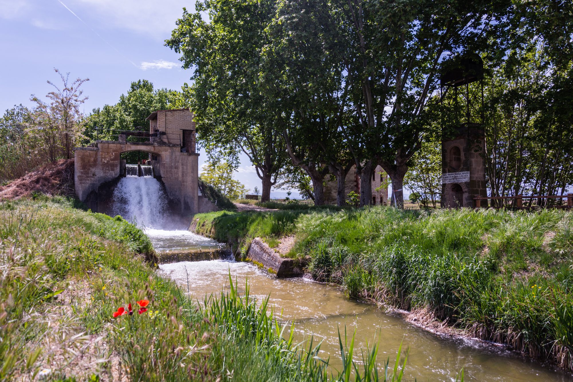
Follow the water in Spain – Pedals del Canal d'Urgell
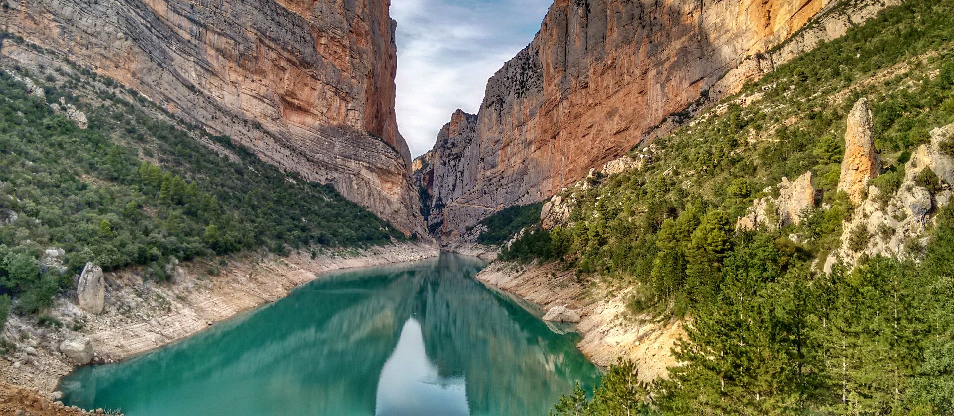
Lleida to El Pont d'Orrit – Sendero Central de Cataluña (GR3)
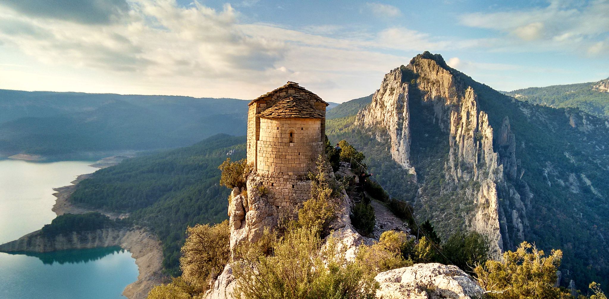
From the Mediterranean to the Pre-Pyrenees – Historical Path in Catalonia (GR 1)
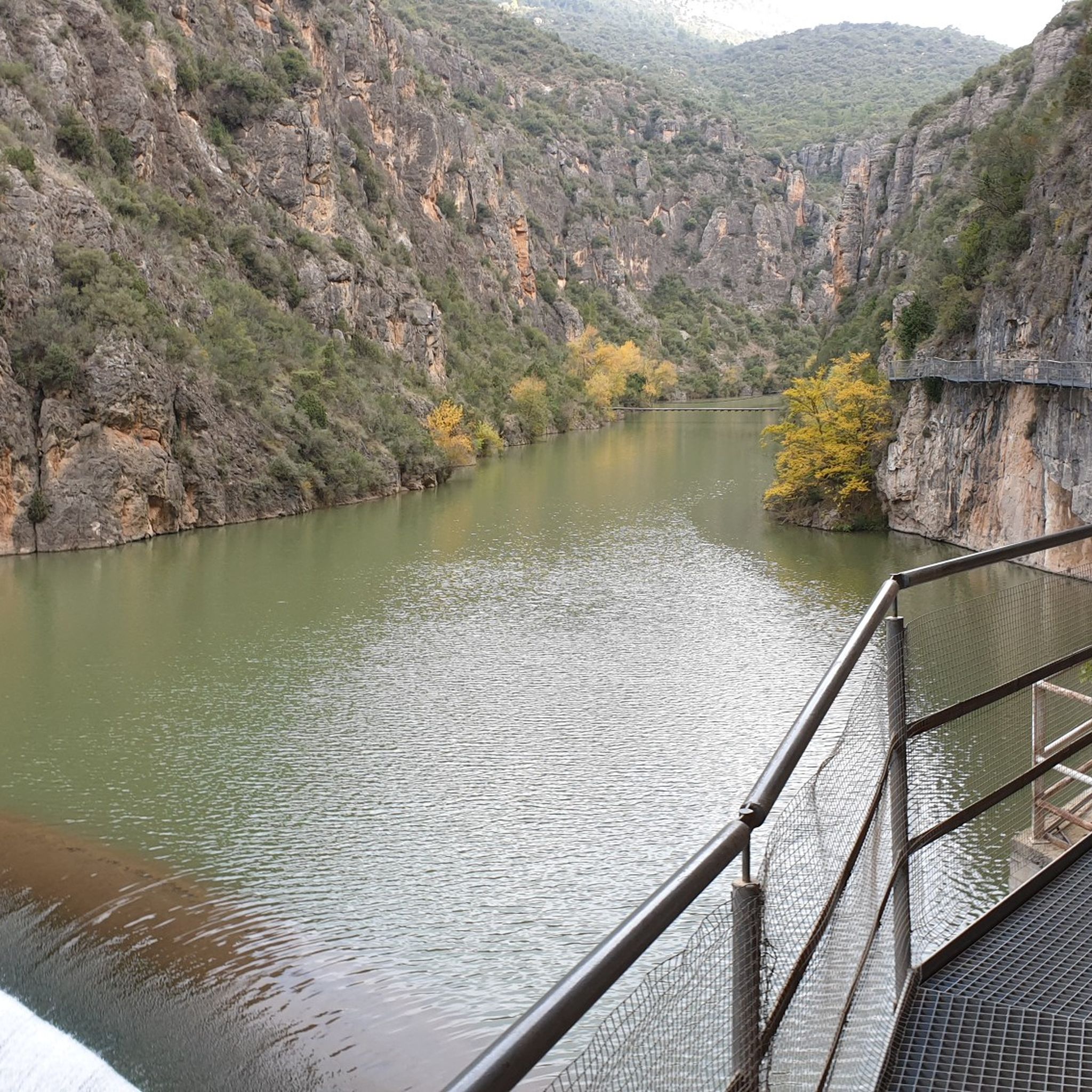
Hiking around Noguera
Road Cycling Routes around Noguera
MTB Trails around Noguera
Running Trails around Noguera
Cycling around Noguera

Gravel biking around Noguera
Other adventures around Noguera


Tips from the Community

Next to the Coll d'Ares, it is the most iconic port in the Montsec mountain range and the Lleida Pre-Pyrenees. The views from above, either towards the Pyrenees and the Isona and Tremp valley, as well as the Plana de Lleida, are magnificent. It is a port with 4 aspects, each one different: - The southern slope, which begins in Artesa de Segre, is almost 24 km long and runs along a road with a lot of traffic, very wide and with long straights. After passing the town of Folquer, you face the hardest section of the climb, now with continuous curves and horseshoes, although with a road that is still very wide. The best are the views of the Lleida plain. It is not a side that I like since it is very stinky. - The southeast slope, the one that begins in Pons, is longer than the previous one, with 29 km. It has 2 rest sections, with some descent, and the road is narrow and twisty. There are good views along the climb. This slope joins the southern slope that comes from Artesa de Segre at the height of Folquer, where the hardest 7 km remain until reaching the top of the pass. - The main northern slope begins in Tremp and is 28.2 km. It is similar to the Artesa de Segre slope, with a similar gradient and a wide, busy road with a progressive slope, although it is true that there are no kilometers that reach 7%. I don't like. - The northwest slope, which also begins in Tremp, takes the old road that goes up through the town of Sant Salvador de Toló. It is a climb without traffic, on an irregular asphalt road, one of the old ones, which is grippy and difficult to roll, but in good condition. If you plan to go up to Comiols on the northern slope, you have to do it here and forget about the slope that runs along the main road.
0
0
It is a port in the Montsec mountain range that allows access to the beautiful valley where the town of Àger is located, with imposing vertical mountains that give a lot of charm and spectacularity to the valley, especially in spring where the green of the trees, the red of poppies and the warm yellow of wheat. The port is very stinky on both sides since the road is very wide, normally with 3 lanes, and with long straights, which take away any type of cycling attraction. However, the views from the port, especially towards the Àger valley, are spectacular. I climbed it on the southern slope, the one that begins in Balaguer. From Balaguer it is almost 25 km, with continuous ups, downs and flat areas. The final uphill section is 5.5 km at 6 - 7%, with a rest section when crossing the town of Sant Josep de Fontdepou
0
0

La Portella Blanca is a hill located at 1,442.7 meters above sea level on the border between the municipalities of Camarasa, in La Noguera, and Llimiana, in Pallars Jussà.
0
0

The Coll de Comiols is a hill located at 1101 meters high. It acts as the border of several municipalities in the Pallars Jussà region. It offers magnificent views of the surrounding mountains and the Cuenca de Tremp.
0
0

Views from the Coll de Porta at an altitude of 892 meters, it is located between the municipalities of Camarasa, Les Avellanes and Santa Linya in the region of Nogueray, it is part of the Sierra de Mont-Roig.
1
0

Very nice views on both sides of this climb. There is not a lot of shade on the climb, so it gets really hot on a sunny day. Also, the asphalt is not in the best shapes. So watch out when descenting.
0
0
If you have the possibility, then i would suggest to do the climbing on the small road, and descent on C-74. Reason is, C-74 is a main road with a lot of traffic. So lots of fast cars and motorcycles, flying past you when you go slow, not so much when you are going downhill fast 🙂
0
0

very quiet area with spectacular views, ideal to get lost
1
0
Frequently Asked Questions
What are some of the most notable mountain passes in Noguera?
Noguera offers several distinct mountain passes. Among the most popular are Port d'Àger, known for its irregular ascent and challenging final ramps, and Coll de Porta, an intermediate pass and viewpoint at 892 meters. Another appreciated pass is Coll de Comiols, located at 1,100.8 meters, offering expansive views.
What kind of views can I expect from Noguera's mountain passes?
Many of Noguera's mountain passes offer spectacular panoramic views. From Port d'Àger, you can enjoy beautiful vistas of the Montsec mountain range and the Àger valley. Coll de Comiols provides magnificent views of the surrounding mountains and the Cuenca de Tremp. The area around Coll d'Ares, particularly the Sant Alís Summit, is renowned for views of the Lleida plain and the Pyrenees, including iconic peaks like Montserrat and Aneto on clear days.
How challenging are the mountain passes in Noguera?
The mountain passes in Noguera offer a range of challenges. Port d'Àger, for instance, features an irregular rise with constant climbs, false plains, and notably hard ramps in its final kilometers, making it an intermediate yet demanding climb. Other passes like Coll de Porta and Coll de Comiols are also classified as intermediate, providing rewarding experiences for those seeking varied terrain and elevation changes.
Are there opportunities for cycling on these mountain passes?
Yes, Noguera's mountain passes are popular among cyclists. Port d'Àger is well-known for its varied terrain, though some sections have wide roads. For more cycling routes in the region, you can explore the Cycling around Noguera guide, which includes routes like the 'Route of the Lakes' and 'Monastery of les Avellanes and Cave of Santa Linya'.
What outdoor activities can I do near the mountain passes in Noguera?
Beyond exploring the passes themselves, the Noguera region offers diverse outdoor activities. You can find numerous running trails, such as the 'Circular Cima del Monteró' or the 'Tour of the Mu Gorge', detailed in the Running Trails around Noguera guide. For hikers, there are options ranging from easy to difficult, including routes like 'Hermitage and Castle of Oroners' in the Easy hikes around Noguera guide. The area around Coll d'Ares is also a common spot for paragliding.
Are there any cultural or historical sites near the mountain passes?
Yes, the region combines natural beauty with cultural interest. The Monestir de les Avellanes is located near Port d'Àger, adding a cultural dimension to your visit. You can also find routes like 'Monastery of les Avellanes and Cave of Santa Linya' in the Cycling around Noguera guide, which highlights historical points of interest.
What do visitors enjoy most about the mountain passes in Noguera?
Visitors frequently praise the spectacular views and the sense of accomplishment from challenging climbs. The diverse terrain, from irregular rises to false plains, makes for dynamic experiences. The beauty of the Montsec mountain range and the Àger valley, especially in spring with vibrant colors, is often highlighted. Many appreciate the quiet areas and the opportunity to 'get lost' in nature, as noted for Coll d'Ares.
Is public transport available to access Noguera's mountain passes?
While specific public transport routes directly to the passes are not detailed, the region is generally accessible. For detailed information on public transport options to trailheads or nearby towns, it's recommended to check local transport schedules, as access often varies by specific location within the mountainous terrain.
Are there family-friendly options for exploring the Noguera mountains?
While some mountain passes involve challenging climbs, the broader Noguera region offers routes suitable for various fitness levels, including family-friendly options. For easier walks, you can consult the Easy hikes around Noguera guide, which features routes like 'Hermitage and Castle of Oroners' and 'Balaguer — Circular route along the Segre River'.
What is the best time to visit the mountain passes in Noguera?
The spring season is particularly recommended for visiting the Noguera mountain passes. During this time, the valleys, such as the Àger valley accessible via Port d'Àger, come alive with the green of trees, red poppies, and warm yellow wheat fields, enhancing the scenic beauty. Clear days are ideal for enjoying the extensive panoramic views from higher passes like Coll d'Ares.
Where is Coll de Porta located and what makes it unique?
Coll de Porta is an intermediate mountain pass and viewpoint situated at an altitude of 892 meters. It lies between the municipalities of Camarasa, Les Avellanes, and Santa Linya, forming part of the Sierra de Mont-Roig. Its location offers distinct views and serves as a natural boundary within the Noguera region.
Can you tell me more about Coll de Comiols?
Coll de Comiols is a mountain pass and viewpoint located at 1,100.8 meters. It acts as a border point for several municipalities, including Artesa de Segre and Isona and Conca Dellà. It's known for offering magnificent views of the surrounding mountains and the Cuenca de Tremp. For cyclists, it's suggested to climb on smaller roads and descend on the C-74 for a better experience, avoiding heavy traffic.
Most popular routes around Noguera
Most popular attractions around Noguera

Get inspired with the komoot mobile app


Explore more
See even more epic mountain passes by checking out these guides around Noguera:
