Top 19 Natural Monuments around Achtkarspelen
Best natural monuments around Achtkarspelen are found within the National Landscape Noardlike Fryske Wâlden, an area recognized for its unique natural and cultural-historical elements. This region features Europe's largest intact bocage landscape, characterized by a network of green meadows bordered by dense rows of trees and shrubs. Visitors can explore distinctive geological formations like pingo ruins and nature areas important for diverse flora and fauna. The landscape offers opportunities for walking and cycling routes through its varied natural features.
Best natural monuments around Achtkarspelen
- The most popular natural monuments is Lauwersmeer National Park, a natural monument that was formed when the Lauwerszee inlet was dammed in 1969. This area is known for its open character and is home to a variety of orchids, marsh marigolds, and wild roses, as well as grazing Scottish Highland cattle and Konik horses.
- Another must-see spot is Freulevijver, a lake that is an old pingo ruin, bordered by birch, beech, and mountain ash. This pond was part of an estate built around 1880 and offers a tranquil setting for visitors.
- Visitors also love Observation Tower Lauwersmeer Dark Sky Park, a viewpoint located in one of the darkest places on Earth. From here, visitors can experience exceptionally clear starry skies at night and enjoy excellent views over the Southern Lauwersmeer during the day.
- Achtkarspelen is known for its bocage landscape, pingo ruins, and unique hedgerows like Elzensingels and Houtwallen. These natural features provide a diverse range of natural monuments to see and explore, offering insights into the region's geological past and ecological significance.
- The natural monuments around Achtkarspelen are appreciated by the komoot community, with more than 180 upvotes and over 25 photos shared by visitors.
Last updated: August 2, 2026
Lauwersmeer National Park
Highlight • Natural Monument
The Lauwerszee, an inlet named after the river Lauwers, used to be open to the Wadden Sea. After the storm surge of 1953, fears of flooding led to plans for a dam, which was completed in 1969. The inlet became a closed lake, now called the Lauwersmeer, and the higher seabed (the former mudflats) was drained. The reclaimed land was left completely to itself for the first few years, so that the flora and fauna typical of the area could establish themselves.
The area has a predominantly open character, although there is a forest called the Ballastplaatbos near Lauwersoog and the Zomerhuisbos forest area to the south near Dokkumer Nieuwe Zijlen. Larger areas of the park are not accessible to the public, while the lake is also open to boats in its deeper areas. The shallow lakes and wetlands may not be entered for reasons of landscape protection.
Translated by Google •
Tip by

Observation Tower Lauwersmeer Dark Sky Park
Highlight • Viewpoint
A perfect reason to visit Dark Sky Park Lauwersmeer is the wonderfully clear starry sky. Since there is no light from the ground and the Wadden area is the place with the least light pollution in all of Holland, the stars are particularly easy to see here. On some days you can even admire the northern lights.
Translated by Google •
Tip by

Sign up now to discover places like this
Get recommendations on the best single tracks, peaks, & plenty of other exciting outdoor places.
Sign up for free
Freulevijver
Highlight • Lake
Translated by Google •
Tip by

The Blue Stone
Highlight • Natural Monument
Not the shape, not the size, but the many scratches and ink around the stone in all directions attract attention. The depth of these colorings is deeper than normal, evoking not glacial scraping, but also chisels and human dishes, as stated in 'Smellingera country', the history book published in 1944.
That a cartographer also recorded the blue stone, along with specialties such as churches, monasteries and ducks, is a secret. The blue stone probably had an important place in the lives or thoughts of the Oudega people.
Translated by Google •
Tip by

Pûpedobbe Pingo Ruin
Highlight • Natural Monument
What is a Pingo Ruin?
When the climate warms, for example at the end of an ice age, a pingo is left with a circular lake or crater called a pingo ruin. Many pengo ruins are slowly filled with peat after the ice melts. This filling can take many thousands of years. Because a lot of pollen and seeds of plants end up in the water in pingo ruins, information about the vegetation is stored in the peat. This information can be used to reconstruct the climate that prevailed during the backfill. For this reason, pingo ruins are very popular with Quaternary geologists as climate archives. Pingo ruins can be dated using, for example, tephrochronology (based on volcanic ash found in the deposit). (Source: Wikipedia).
Translated by Google •
Tip by

Sign up for free to discover even more natural monuments around Achtkarspelen.
Sign up for free
Already have an account?
Start today with a free account
Your next adventure awaits.
Login or Signup
Popular around Achtkarspelen
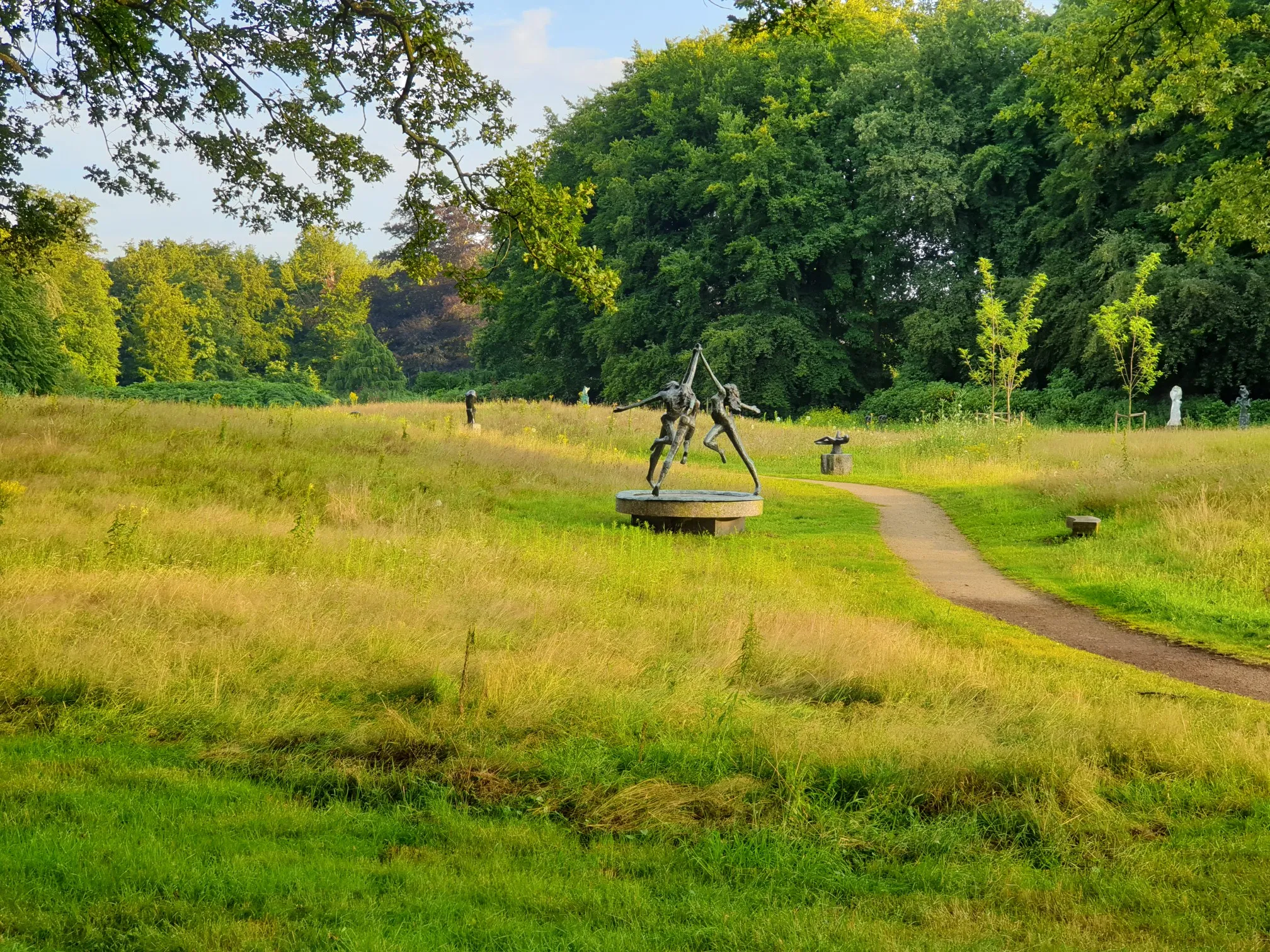
Nature & Culture – 15 Hikes along art in the wild
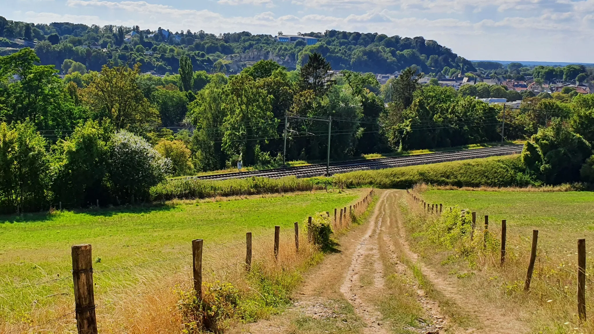
Railrunner Routes - 15 hikes from station to station
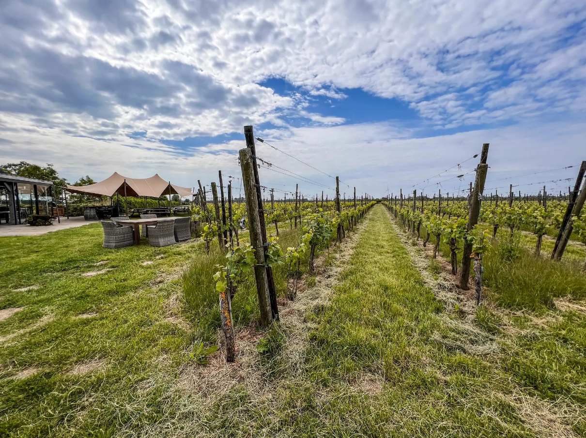
Hike and wine – walking through vineyards in the Netherlands
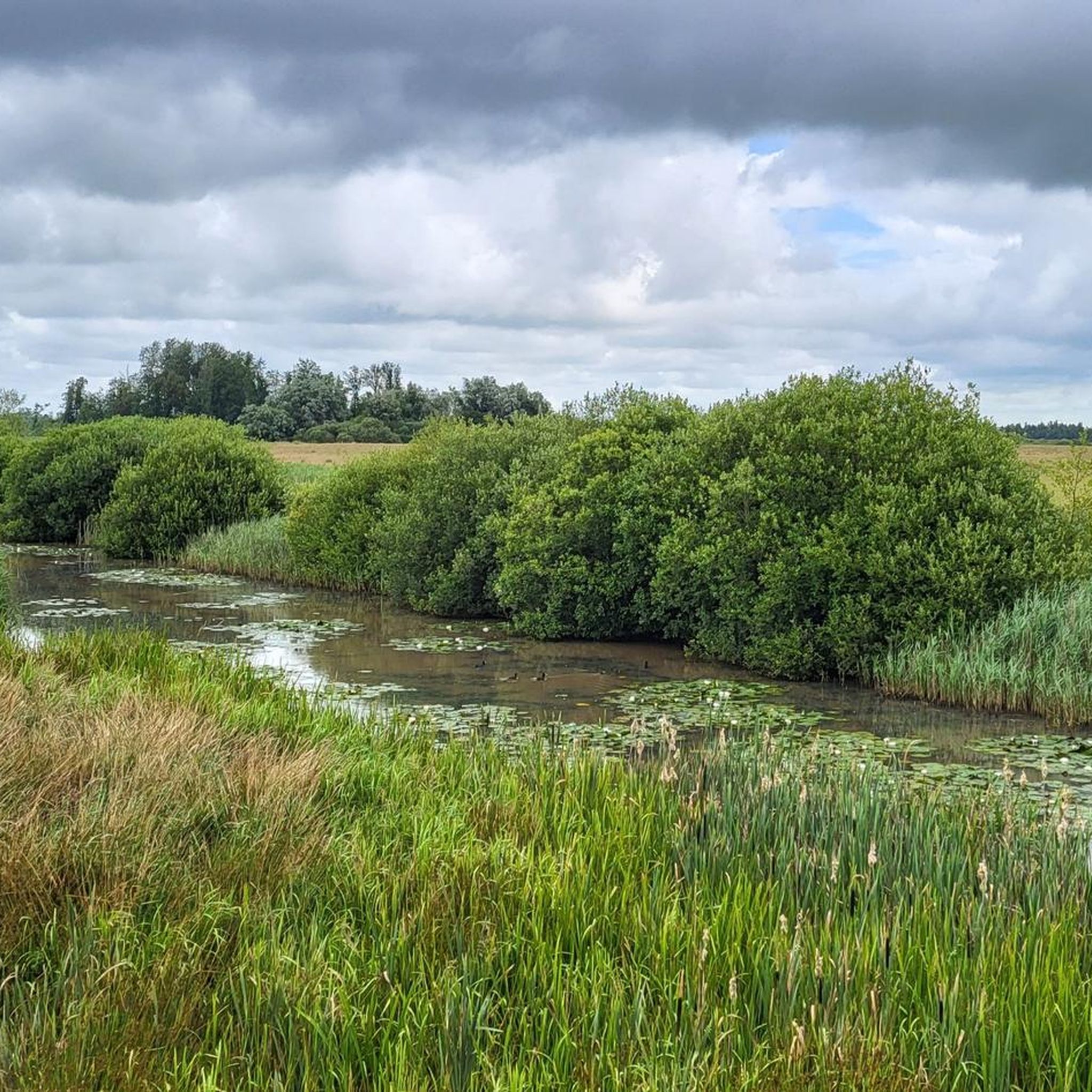
Hiking around Achtkarspelen
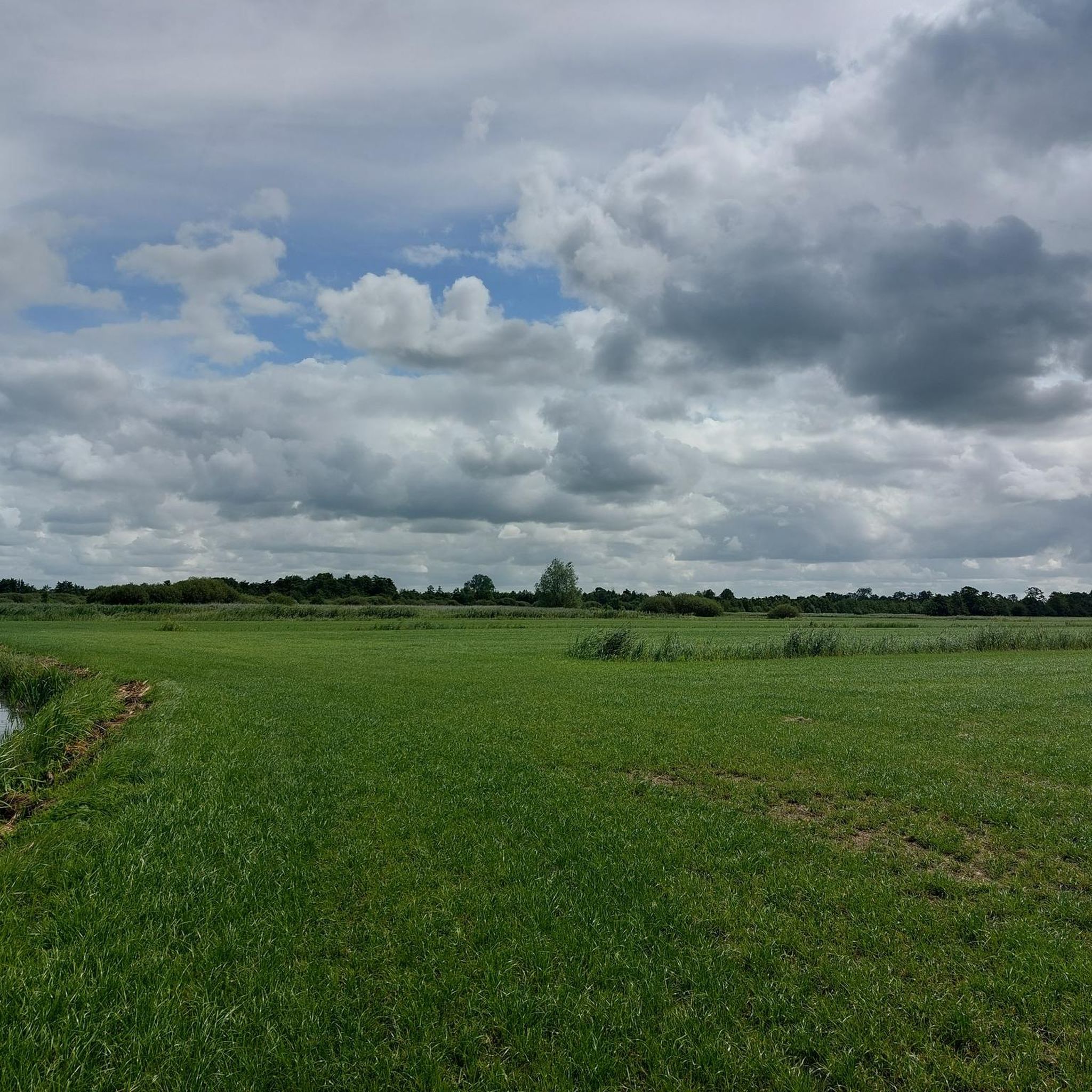
Road Cycling Routes around Achtkarspelen
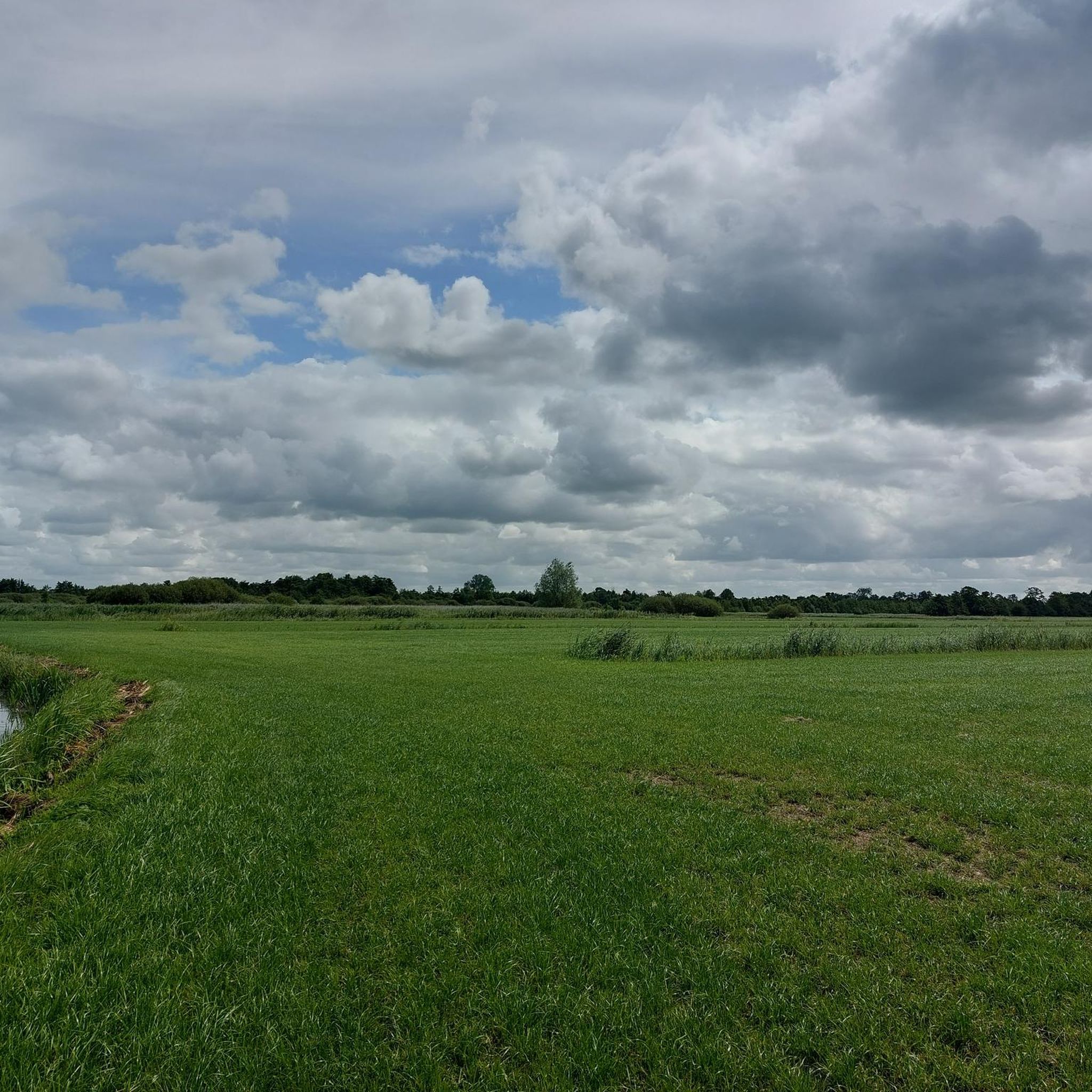
Cycling around Achtkarspelen
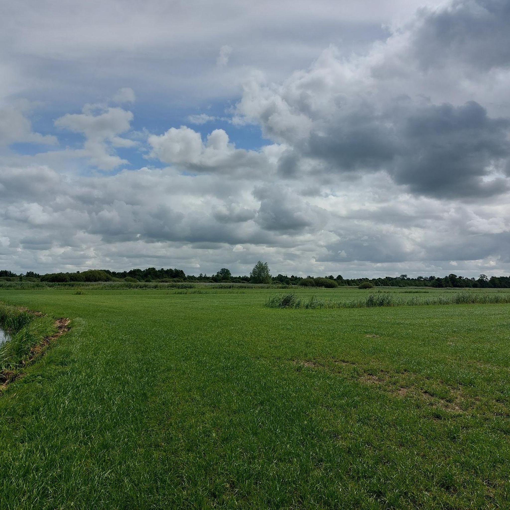
MTB Trails around Achtkarspelen
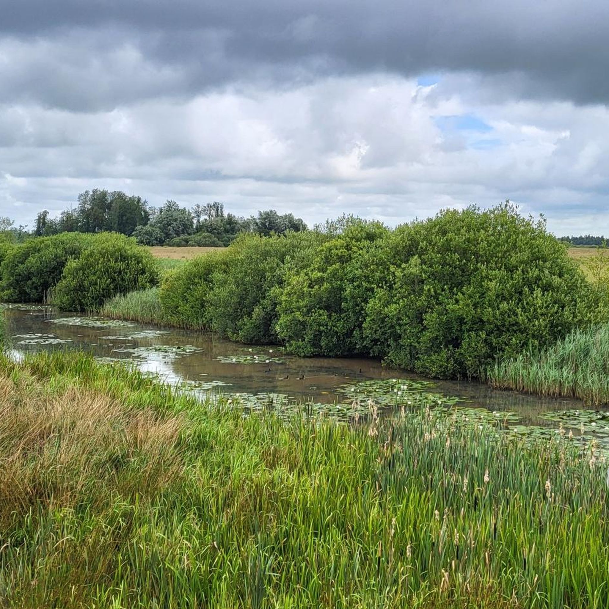
Running Trails around Achtkarspelen

Gravel biking around Achtkarspelen
Other adventures around Achtkarspelen


Tips from the Community

Located in the north of the Netherlands, in the provinces of Groningen and Friesland, it was declared a National Park Lauwersmeer in November 2003. In 2016 it was named a DARK SKY PARK and is the 2nd location in the Netherlands to receive this recognition so far. Besides hiking and cycling paths, there are also publicly accessible areas of the park for water sports activities, Bird watching spots/towers
0
0
Located in the north of the Netherlands in the provinces of Groningen and Friesland, declared National Park Lauwersmeer in November 2003. Named DARK SKY PARK in 2016 and so far the 2nd place in the Netherlands to receive this recognition. Besides hiking and cycling trails, there are also publicly accessible areas of the park for water sports activities & of course the best places for bird watching.
0
0


The Freulevijver, located in the Oude Bos between Wijnjewoude and Bakkeveen, is an idyllic and historic place. The forest was created around 1880 by the noble family Lycklama à Nijeholt as a private park and production forest. The pond was created by a dike breach of the nearby Koningdiep, and was enlarged around 1900 by Jonkvrouw Eritia Lycklama à Nijeholt. Although the original tea house and boathouse have disappeared, the location remains a beautiful spot for a picnic, with a natural gazebo that is reminiscent of the former charm of the place.
1
0

Lovely place to rest for a while, especially when the rhododendron is in bloom
0
0

Flora and fauna The park is home to a variety of orchids, marsh marigolds and wild roses. The open areas are protected from overgrowth by grazing Scottish Highland cattle. In addition to the cattle, a population of Konik horses has also been established in the national park. The national park is an important resting place for migratory birds on their journeys. In addition to common waterfowl such as geese and ducks, rarer species such as the kingfisher or birds of prey such as sea eagles and peregrine falcons can also be observed. Flamingos have also been spotted in the national park.
4
0
Geography The Lauwerszee, an inlet named after the river Lauwers, used to be open to the Wadden Sea. After the storm surge of 1953, fears of flooding led to plans for a dam, which was completed in 1969. The inlet became a closed lake, now called the Lauwersmeer, and the higher seabed (the former mudflats) was drained. The reclaimed land was left completely to itself for the first few years, so that the flora and fauna typical of the area could establish themselves. The area has a predominantly open character, although there is a forest called the Ballastplaatbos near Lauwersoog and the Zomerhuisbos forest area to the south near Dokkumer Nieuwe Zijlen. Larger areas of the park are not accessible to the public, while the lake is also open to boats in its deeper areas. The shallow lakes and wetlands may not be entered for reasons of landscape protection.
4
0
Frequently Asked Questions
What unique natural landscapes can I explore in Achtkarspelen?
Achtkarspelen is renowned for its distinctive natural landscapes, particularly the National Landscape Noardlike Fryske Wâlden. This area features Europe's largest intact bocage landscape, characterized by a finely meshed network of green meadows bordered by dense rows of trees and shrubs, known as Elzensingels (alder groves) and Houtwallen (wooded banks). You can also discover unique geological formations called Pingoruïnes, which are circular depressions from the last Ice Age.
Are there any specific geological formations to see in Achtkarspelen?
Yes, Achtkarspelen is home to several fascinating geological formations known as pingo ruins. These are circular depressions formed during the last Ice Age. Notable examples include Freulevijver, an old pingo ruin bordered by birch, beech, and mountain ash, and the Pûpedobbe Pingo Ruin, which serves as an important climate archive.
What kind of wildlife can I expect to see in Achtkarspelen's natural monuments?
The natural monuments in Achtkarspelen, especially areas like Lauwersmeer National Park and Twijzelermieden, are rich in biodiversity. You might spot grazing Scottish Highland cattle and Konik horses, various orchids, marsh marigolds, and wild roses. The region is also an important resting place for migratory birds, with common waterfowl, kingfishers, sea eagles, and peregrine falcons observed. Flamingos have even been spotted in the national park.
What is the best time of year to visit the natural monuments in Achtkarspelen?
The natural monuments in Achtkarspelen offer beauty throughout the year. Spring and summer are ideal for observing blooming flora and active wildlife, particularly migratory birds. Autumn provides stunning colors in the bocage landscape. Even in winter, the tranquil, enclosed environment of the hedgerows and the open character of areas like Lauwersmeer can offer a unique, serene experience.
Are there family-friendly natural monuments suitable for children in Achtkarspelen?
Many natural monuments in Achtkarspelen are family-friendly. Lauwersmeer National Park is great for exploring nature, while Freulevijver offers a tranquil setting for a stroll. The Pûpedobbe Pingo Ruin provides an interesting geological lesson. The bocage landscape itself is perfect for easy walks and cycling with children, offering constantly changing vistas.
Can I bring my dog to the natural monuments in Achtkarspelen?
Many natural areas and trails around Achtkarspelen are dog-friendly, but rules can vary by specific location, especially in nature reserves. For example, larger areas of Lauwersmeer National Park are not accessible to the public to protect flora and fauna, which may include restrictions for dogs. It's always best to check local signage or specific park regulations for the area you plan to visit to ensure a pleasant experience for everyone.
What outdoor activities can I do near these natural monuments?
The region around Achtkarspelen offers a variety of outdoor activities. You can enjoy extensive gravel biking through the bocage landscape, with routes like the 'Northern Frisian Woods Loop'. There are also numerous MTB trails, such as the 'Eastermar Harbour – Lake De Leijen loop'. For those who prefer walking, you'll find many running trails, including the 'Paviljoen MeM – Pingo loop from Buitenpost'.
Are there historical natural monuments or sites in Achtkarspelen?
Yes, the natural landscape itself tells a historical story. The bocage landscape, with its Elzensingels and Houtwallen, developed over centuries due to farming practices. Additionally, Freulevijver, an old pingo ruin, was part of an estate built around 1880. Another site of historical interest is The Blue Stone, a unique stone that has been a landmark since at least 1664, holding cultural significance for the local community.
Where can I experience exceptionally clear starry skies in Achtkarspelen?
For an exceptional stargazing experience, visit the Observation Tower Lauwersmeer Dark Sky Park. This area is recognized as one of the darkest places on Earth, offering incredibly clear starry skies due to minimal light pollution. On some nights, you might even be able to admire the northern lights from here.
What are Elzensingels and Houtwallen, and why are they important?
Elzensingels (alder groves) and Houtwallen (wooded banks) are integral to Achtkarspelen's unique bocage landscape. Elzensingels are rows of alder trees, often alongside ditches, while Houtwallen are raised sandy banks with varied plantings. These hedgerows are crucial habitats for diverse plants and animals, providing windbreaks, property boundaries, and sources of wood, reflecting centuries of human interaction with nature and contributing significantly to the region's biodiversity.
What do visitors enjoy most about the natural monuments in Achtkarspelen?
Visitors frequently appreciate the tranquil beauty and unique character of the region. The distinct bocage landscape, with its hedgerows and meadows, offers picturesque scenery for walking and cycling. The opportunity to observe diverse flora and fauna, especially in areas like Lauwersmeer National Park, is a major draw. The clear night skies at the Observation Tower Lauwersmeer Dark Sky Park are also a highlight for many.
Are there opportunities for birdwatching in Achtkarspelen's natural areas?
Yes, Achtkarspelen is an excellent destination for birdwatching. Areas like Lauwersmeer National Park are vital resting places for migratory birds, where you can spot common waterfowl, kingfishers, sea eagles, and peregrine falcons. The Twijzelermieden nature area, with its reed beds and meadows, is also particularly valued for its importance to breeding birds, including the rare Icterine Warbler.
Most popular routes around Achtkarspelen
Most popular attractions around Achtkarspelen

Get inspired with the komoot mobile app


Explore more
Extend your search for the best caves by checking out these guides of the top ones around Achtkarspelen:
