The 4 Most Amazing Peaks around Gällivare kommun
Best mountain peaks around Gällivare kommun are found in a region known for its vast natural landscapes in northern Sweden. This area serves as a gateway to some of Sweden's most significant mountain experiences, including parts of the challenging Kebnekaise expedition. The terrain offers a variety of elevations and difficulties, from accessible fells to demanding high-altitude summits. Visitors can explore a diverse range of mountain environments, characterized by their unique geological features and panoramic views.
Best mountain peaks around Gällivare…
Last updated: October 9, 2026
Kebnekaise Summit
Highlight • Summit
Tip by

Vierranvarri Summit (1,706 m)
Highlight • Summit
Tip by
Sign up now to discover places like this
Get recommendations on the best single tracks, peaks, & plenty of other exciting outdoor places.
View towards Áhkká
Highlight • Viewpoint
Translated by Google •
Tip by

Minor Summit Before Kebnekaise
Highlight • Summit
Translated by Google •
Tip by

View of Kåge Mountain
Highlight • Viewpoint
Tip by

Start today with a free account
Your next adventure awaits.
Popular around Gällivare kommun

European Divide Trail — 7,600 km across the continent
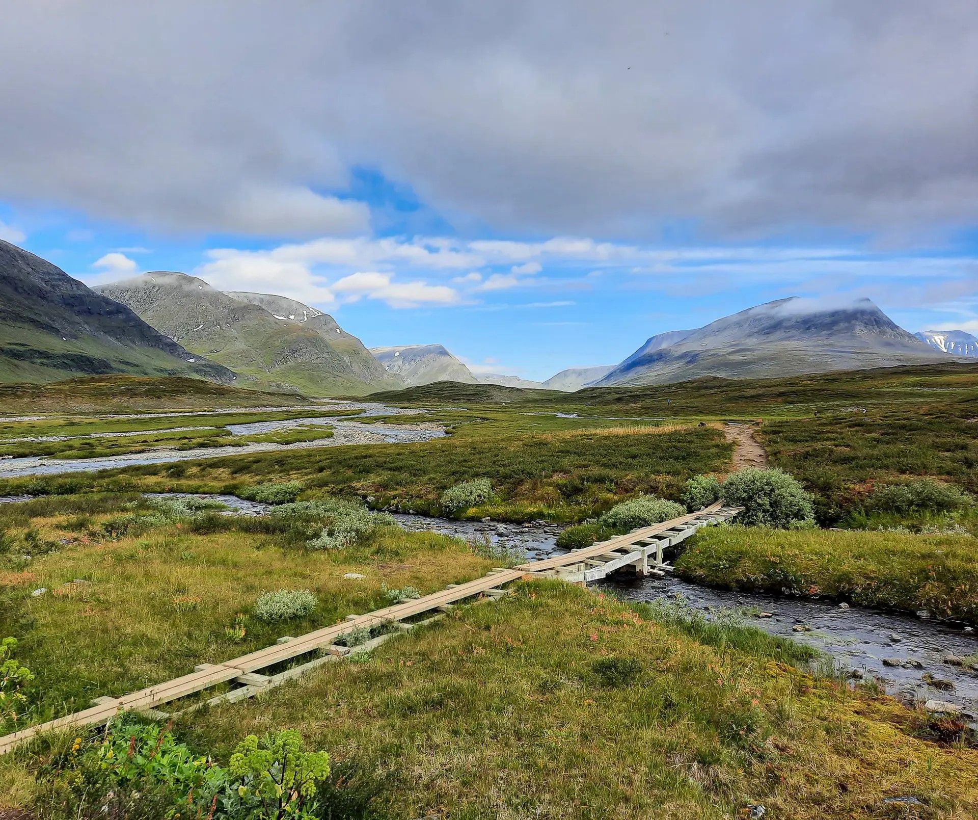
Kungsleden – In seven stages from Abisko to Nikkaluokta
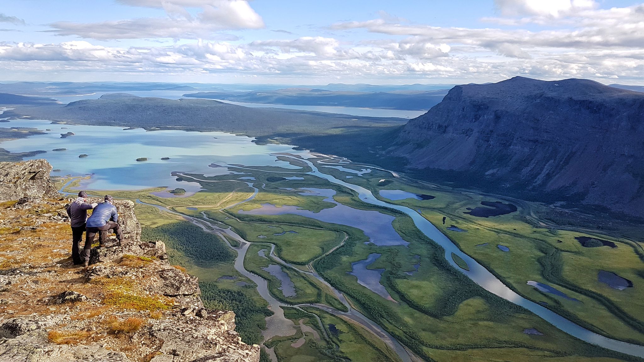
Kungsleden – On the road to the kings of Sweden
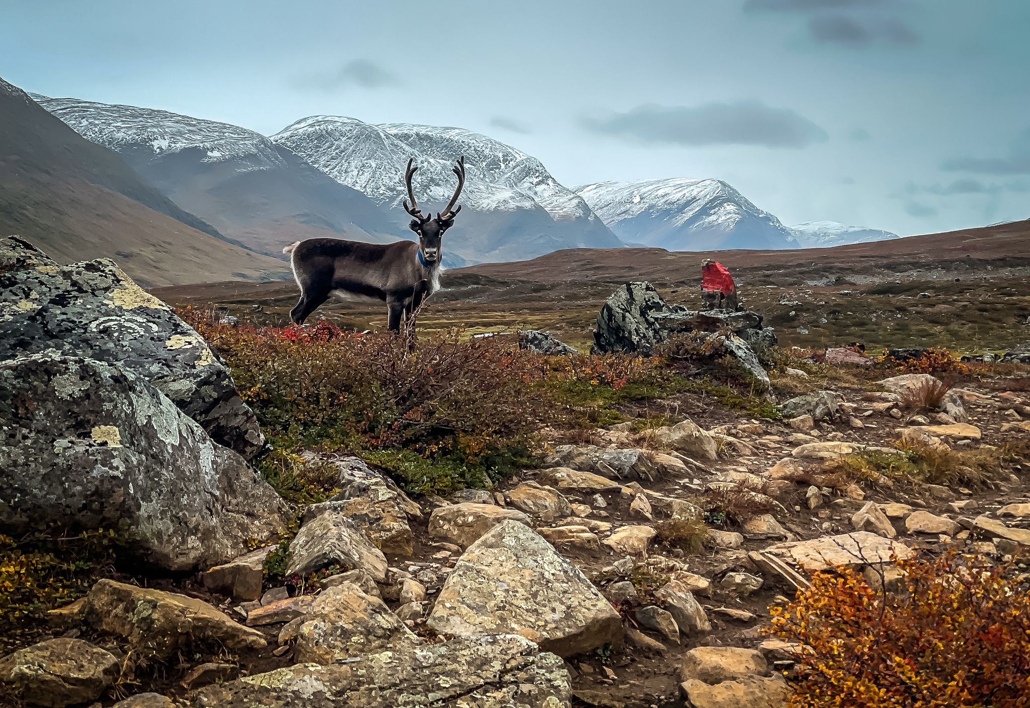
Kungsleden — Trekking in Swedish Lapland
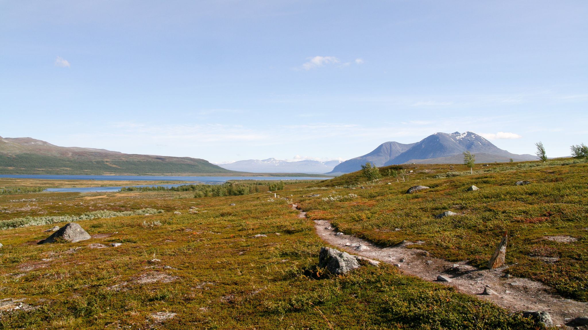
Padjelanta Trail – Hike the land of the Sámi
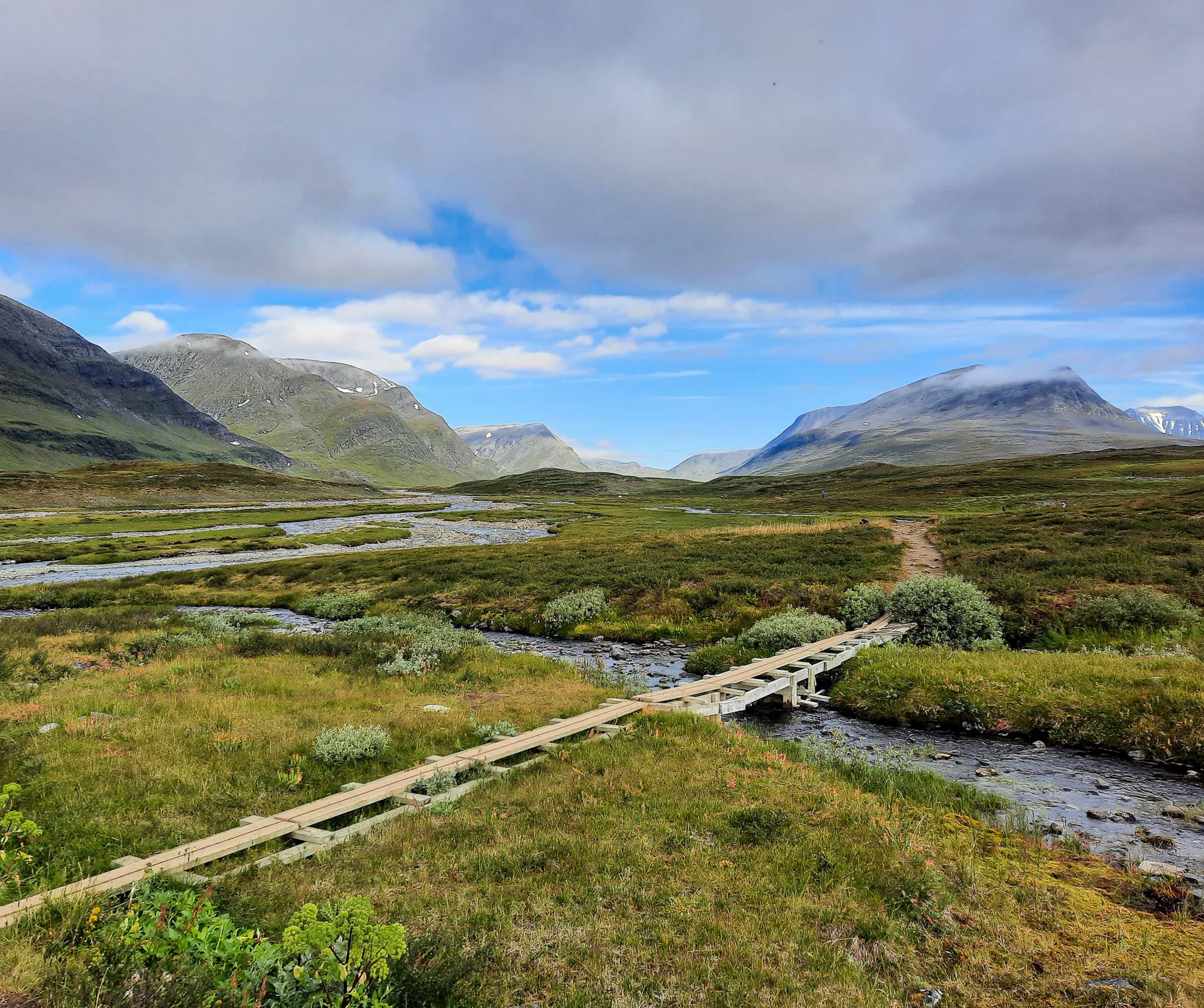
Kungsleden – In 7 stages from Abisko to Nikkaluokta
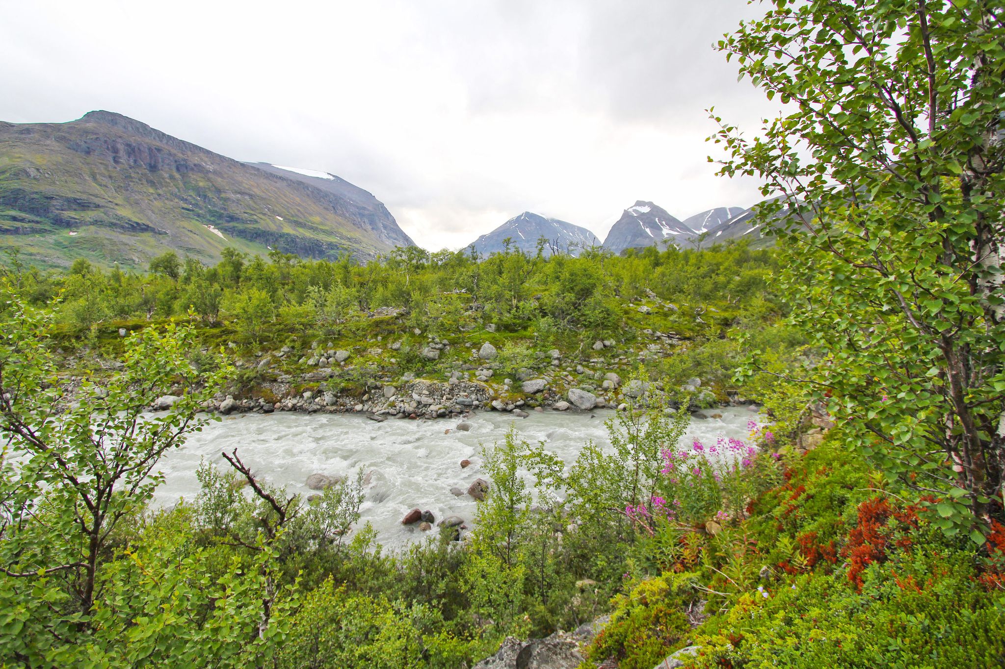
Nikkaluokta to Ritsem – a Swedish Lapland adventure
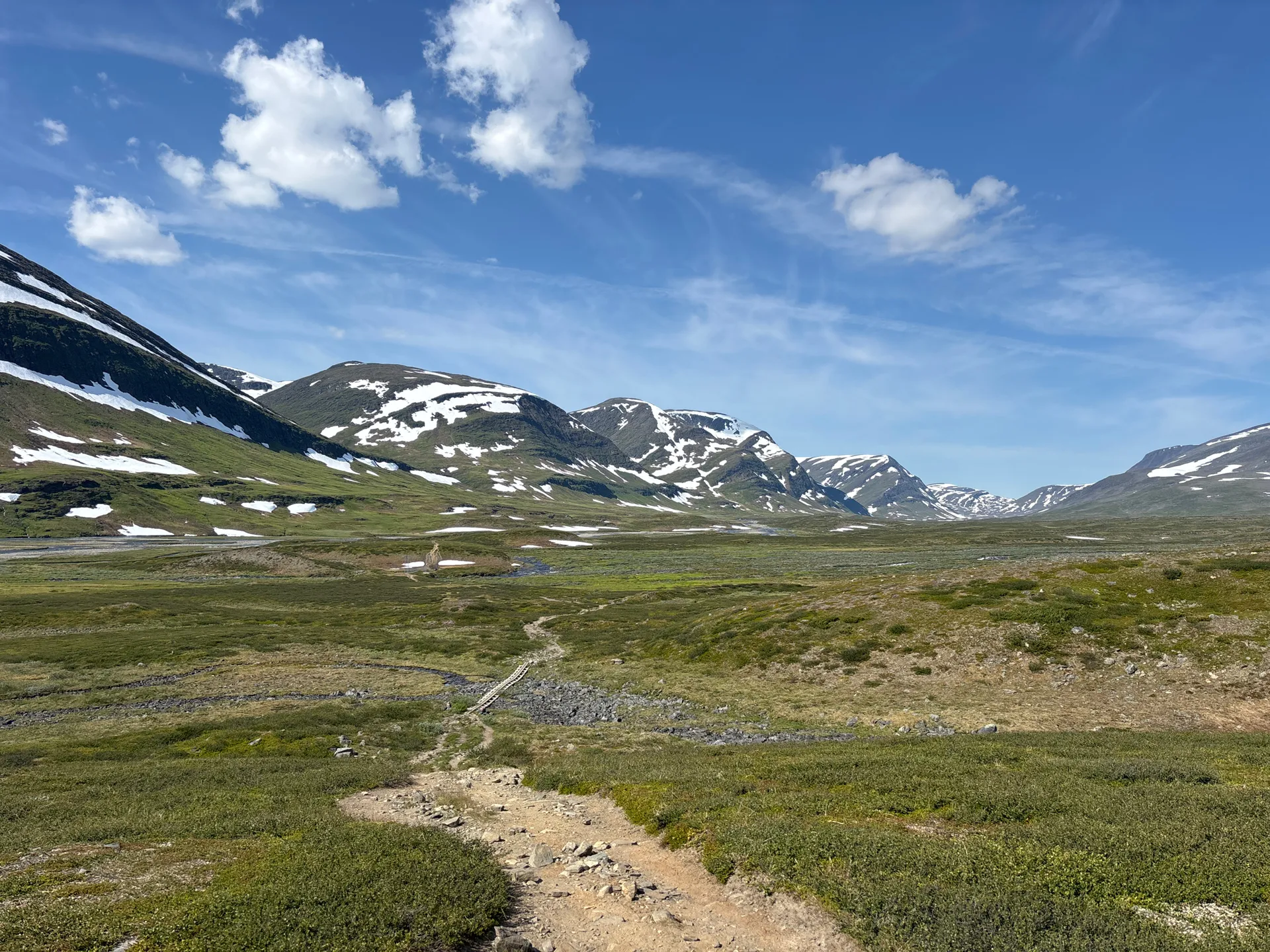
Kebnekaise circuit – six days in Sweden’s untamed north
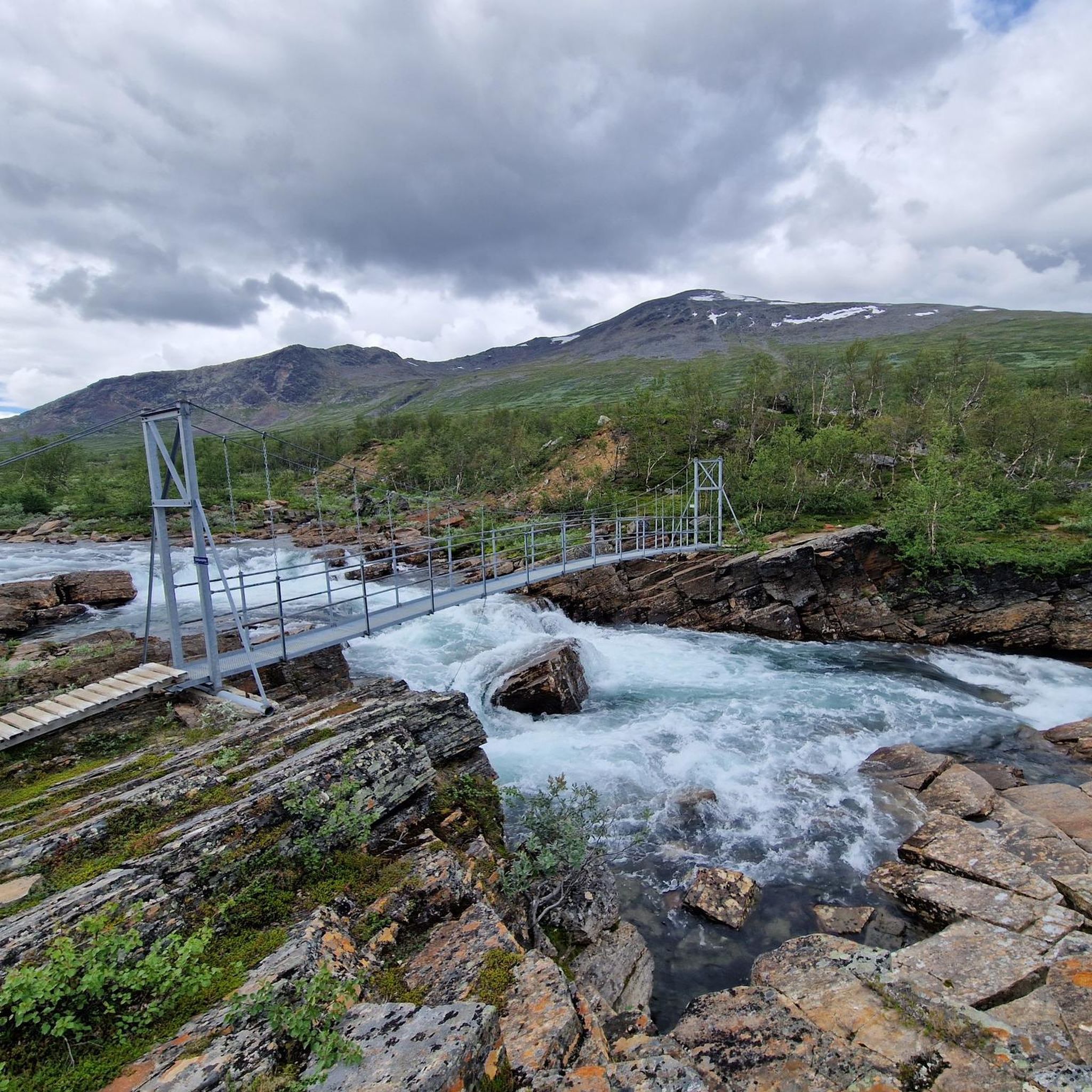
Hiking around Gällivare kommun
Running Trails around Gällivare kommun
Other adventures around Gällivare kommun


Tips from the Community

It's a special feeling to stand on Sweden's highest mountain after such a long ascent! Unfortunately, it was very foggy, so you could only guess the surrounding peaks and glaciers. The southern summit is glaciated, so if there is no snow, you need crampons. You can find out if this is the case at the Fjällstation.
0
0
It's a small psychological challenge to have to descend another 200m after the long ascent to Vierranvárri, before the final ascent to Kebnekaise, which (especially at the beginning) is quite demanding too! But the view is beautiful, so you can use this spot for a little breather :) :)
0
0

Sweden's highest peak. Great views when the weather's good. You should bring crampons because you're walking on glaciers, and the summit is steep. The risk of slipping is not low, and it's a long journey down.
2
0
After the first steep descent, you'll reach an elevation of approximately 1,700 meters with spectacular views. It's time for a good rest before continuing. From here, you'll descend and then climb steeply to the Gamla toppstugan.
2
0


Take sticks for the descent to be kind on your knees, it is steep at time
0
0

A kind of intermediate top for the Kebnakaise. After this you first descend a bit, after which the last climb to the top begins. Be careful when there is snow, the descent can be slippery!
0
0
On top of Sweden, beautiful. The walk to it is quite long and especially with snow sometimes quite difficult. But despite that, it's definitely worth it! With the view must have succeeded a bit. Watch out for bad weather forecasts and make sure you have good and warm clothes! For the last 100 meters, spikes or crampons can be useful, but this is not necessary.
3
0
Frequently Asked Questions
What are some of the most challenging mountain peaks in the Gällivare kommun area?
The region offers several challenging ascents. Kebnekaise Summit, Sweden's highest mountain, is a demanding climb often requiring crampons for its glaciated southern summit. The journey is long and can be difficult in snowy conditions. Vierranvarri Summit (1,706 m) is another challenging peak, serving as an intermediate point on the Kebnekaise route, known for its demanding terrain and potentially slippery descents when snow is present.
Are there any easily accessible mountain peaks for visitors in Gällivare kommun?
Yes, Dundret (823 m) is an excellent option. Located just outside the town of Gällivare, it's easily accessible, even by car, and offers panoramic views far above the tree line. It's a popular spot for both hiking and experiencing the midnight sun in summer.
What kind of views can I expect from the mountain peaks around Gällivare kommun?
From peaks like Dundret, you can enjoy panoramic views of the scenic Laponia World Heritage Site, and on clear days, even see the Sarek mountains and Kebnekaise. The View towards Áhkká offers a beautiful perspective of the 'Queen of Lapland,' while the Minor Summit Before Kebnekaise provides spectacular views at approximately 1,700 meters, making it a great resting point.
What is the best time of year to visit the mountain peaks in Gällivare kommun?
The best time depends on your activity. For hiking and experiencing the midnight sun, summer (early June to mid-July for midnight sun visibility) is ideal. For skiing and winter activities, Dundret offers a long season from early November to late April. For challenging peaks like Kebnekaise, late summer (July-August) often provides the most stable weather, but conditions can change rapidly.
Are there family-friendly hiking options around the mountain peaks in Gällivare kommun?
Dundret is a great choice for families, offering various hiking trails, including accessible options and more challenging routes. Its easy accessibility and diverse terrain make it suitable for different fitness levels.
What outdoor activities can I do near the mountain peaks in Gällivare kommun?
Beyond peak bagging, you can explore a variety of outdoor activities. For hiking, consider routes like the 'Kebnekaise from Singi – Dag Hammarskjöld Trail' or sections of the Kungsleden. There are also numerous running trails, including loops around Dundret, and road cycling routes like the 'Ripatssjön loop from Gällivare'. You can find more details in the Hiking around Gällivare kommun, Running Trails around Gällivare kommun, and Road Cycling Routes around Gällivare kommun guides.
How can I reach the starting points for mountain hikes in Gällivare kommun using public transport?
Gällivare serves as a common gateway to the region's mountains. While specific public transport options to every trailhead can vary, Nikkaluokta, a starting point for Kebnekaise treks, is often accessible via bus connections from Gällivare. For Dundret, its proximity to Gällivare town makes it relatively easy to reach. It's advisable to check local bus schedules for the most current information.
Are dogs allowed on the hiking trails around Gällivare kommun's mountain peaks?
Rules for dogs vary depending on the specific area, especially within nature reserves and national parks. Generally, dogs are allowed on trails but must be kept on a leash. Always check the specific regulations for areas like Dundret Nature Reserve or any national parks you plan to visit, as rules can be stricter during certain seasons (e.g., nesting periods for birds).
What should I pack or wear for hiking the peaks in Gällivare kommun?
Given the variable weather in northern Sweden, even in summer, it's crucial to pack layers. Bring good quality waterproof and windproof outer layers, warm mid-layers, and moisture-wicking base layers. Sturdy hiking boots are essential. For higher, glaciated peaks like Kebnekaise, consider bringing spikes or crampons, especially for the final ascent, and always carry sufficient food, water, a map, compass/GPS, and a first-aid kit.
Where can I find accommodation or places to eat near the mountain peaks?
Gällivare town offers various amenities, including accommodation, cafes, and pubs. For those venturing further, mountain stations like Nikkaluokta Mountain Station (a common starting point for Kebnekaise) provide accommodation and dining options. It's always recommended to book accommodation in advance, especially during peak season.
What makes Kebnekaise a unique climbing experience?
Climbing Kebnekaise Summit offers the unique experience of standing on Sweden's highest mountain. The southern summit is glaciated, adding a technical element that may require crampons. Despite the long and challenging ascent, the majestic views of surrounding peaks and glaciers, when the weather permits, make it a truly special and rewarding achievement.
Are there any intermediate viewpoints or smaller summits worth visiting on the way to major peaks?
Yes, the Minor Summit Before Kebnekaise, at approximately 1,700 meters, offers spectacular views and serves as an excellent resting point before the final push to Kebnekaise. Similarly, Vierranvarri Summit (1,706 m) provides significant views and is an integral part of the challenging Kebnekaise expedition.
Can I experience the midnight sun from any of the peaks?
Yes, Dundret is a popular spot to experience the midnight sun. From early June to mid-July, the sun remains visible above the horizon, offering a unique natural phenomenon from its summit.
Most popular routes around Gällivare kommun
Most popular attractions around Gällivare kommun

Get inspired with the komoot mobile app


Explore more
See even more amazing summits around Gällivare kommun with these guides:
