The best walks and hikes around Laufen-Uhwiesen
4.6
(663)
4,222
hikers
44
hikes
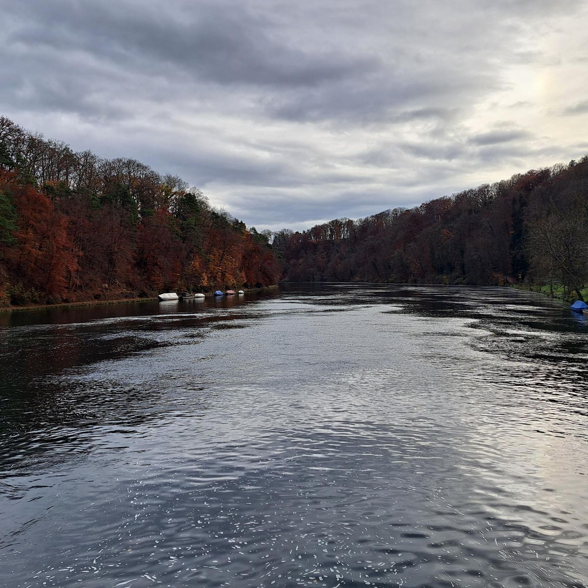
Hiking around Laufen-Uhwiesen offers diverse terrain characterized by the powerful Rhine Falls and the meandering Rhine River. The landscape features lush meadows, open fields, and dense forests, providing varied natural environments for exploration. Natural monuments like the Felstäli Nature Reserve contribute to the region's ecological diversity. Trails often lead to viewpoints overlooking the iconic waterfall and the surrounding river valley.
Best hiking trails around Laufen-Uhwiesen
- The most popular hiking route is Rhine Riverside Trail – Rhine Riverside Path SH Side…
Last updated: November 15, 2026
4.9
(67)
751
hikers
Easy hike. Easily walkable paths.
4.7
(17)
345
hikers
Easy hike. Easily walkable paths.

4.6
(23)
93
hikers
Moderate hike. Good fitness required. Easily walkable paths.
4.4
(7)
95
hikers
Easy hike. Easily walkable paths.
4.0
(1)
14
hikers
Moderate hike. Good fitness required. Mostly walkable paths. Sure-footedness required.
Get access to more routes and recommendations from other explorers.
Already have an account?
Our route recommendations are based on thousands of hikes, rides, and runs completed by other people on komoot.
Start today with a free account
Your next adventure awaits.




Tips from the Community

Great path right on the water
0
0

Nordufer (Schlössli Wörth / Neuhausen): Use the S-Bahn line S9 to the Neuhausen Rheinfall station. An elevator will take you from the platform down to the free-access Rhine Falls basin.
0
0
Getting there by trainThe Rhine Falls are excellently connected to the Swiss rail network. There are two train stations directly at the waterfall: South bank (Schloss Laufen): Use the S-Bahn line S33 (from the direction of Winterthur/Zurich or Schaffhausen) to the Schloss Laufen am Rheinfall station. From there, a short walk or a glass panoramic elevator leads directly to the castle and the platforms.
0
0
Location: The excursion destination is located in the canton of Schaffhausen near the German border and can be reached in a short time from Lake Constance.
0
0
Local activities: Visitors can admire the waterfall from viewing platforms, travel close to the rocks on excursion boats, or even climb onto the middle rock.
0
0
Size and power: With a width of around 150 meters and a height of 23 meters, the Rhine Falls are the largest and most water-rich waterfall in all of Europe.
0
0
Rhine crossing (Ferry / Red Line): Connects the north bank (Schlössli Wörth) with the south bank (Schloss Laufen). Price: from approx. CHF 6.00 per person for the round trip. Note for families: Children under 6 years of age usually travel free of charge accompanied by an adult.
1
0
Frequently Asked Questions
How many hiking trails are available around Laufen-Uhwiesen?
The komoot community has mapped over 45 hiking trails in the Laufen-Uhwiesen area. These range from easy riverside strolls to more challenging routes with elevation changes, ensuring options for various fitness levels.
What are the typical difficulty levels for hiking trails in Laufen-Uhwiesen?
Laufen-Uhwiesen offers trails for all skill levels. You'll find a wide selection of easy paths, particularly along the Rhine River, as well as moderate routes that include some elevation gain. There are also a few more difficult trails for experienced hikers seeking a challenge.
What natural features can I expect to see while hiking in Laufen-Uhwiesen?
The region is dominated by the magnificent Rhine Falls, Europe's largest waterfall, which is a central feature of many hikes. You'll also explore the scenic Rhine River banks, lush green meadows, open fields, and dense forests. Natural monuments like the Felstäli Nature Reserve offer opportunities to observe diverse flora and fauna.
Are there any family-friendly hiking routes in Laufen-Uhwiesen?
Yes, many trails are suitable for families. The easy paths along the Rhine River are particularly popular. For example, the Water Mill – Rhine Falls loop from Neuhausen is an easy route that offers engaging sights without significant challenges, perfect for a family outing.
Can I find circular hiking routes in Laufen-Uhwiesen?
Absolutely. Many of the most popular routes in Laufen-Uhwiesen are circular, allowing you to start and end at the same point. An example is the Rhine Riverside Path SH Side – Rhine Riverside Trail loop from Schloss Laufen am Rheinfall, which provides direct access and views of the Rhine Falls.
What do other hikers enjoy most about hiking in Laufen-Uhwiesen?
The area is highly rated by the komoot community, with an average score of 4.7 stars from over 900 reviews. Hikers frequently praise the breathtaking views of the Rhine Falls, the well-maintained riverside paths, and the diverse natural landscapes that make each hike unique.
Are there specific viewpoints for the Rhine Falls along the trails?
Yes, many trails offer spectacular views of the Rhine Falls. Routes starting from or passing by Schloss Laufen am Rheinfall provide excellent vantage points. The View of the Rhine Falls – Rhine Riverside Trail loop from Schloss Laufen am Rheinfall is specifically designed to showcase these impressive sights.
Are there any cultural or historical landmarks to see while hiking?
Beyond natural beauty, some trails in the Laufen-Uhwiesen area lead to cultural attractions. You might encounter historical sites such as Rheinau Monastery or the ruins of old castles and palaces, enriching your hiking experience with historical context.
What kind of terrain should I expect on the trails?
The terrain varies significantly. You'll find flat, easy paths along the Rhine River, but also routes that traverse lush green meadows, open fields, and dense forests. Some trails include moderate elevation changes, offering a mix of gentle walks and more strenuous sections.
Are there any gorges or unique rock formations to explore?
Yes, the region features several interesting geological formations. You can explore areas like the Felsentäli Gorge or the Kurzloch Rock Formation, which add another dimension to the natural beauty of the hiking trails.
What is the best time of year to go hiking in Laufen-Uhwiesen?
Laufen-Uhwiesen is beautiful year-round, but spring and summer are particularly popular. In spring, after snowmelt, the Rhine Falls are at their most powerful. Summer offers pleasant temperatures for exploring the diverse landscapes. Autumn brings vibrant colors to the forests, while winter can offer a serene, snow-dusted experience.
Are there any huts or shelters along the hiking routes?
Yes, there are several huts and shelters in the vicinity that can be useful during your hikes. Examples include the Wasen Hut and the Buchberg House, which can provide a place to rest or take shelter.
Most popular routes around Laufen-Uhwiesen
Most popular attractions around Laufen-Uhwiesen

Get inspired with the komoot mobile app


Explore more
Browse the best Hikes in other regions.
