Top 5 Natural Monuments around Champfrémont
Natural monuments around Champfrémont are situated within the Normandie-Maine Regional Natural Park and Geopark, an area recognized with a UNESCO World Geopark label in 2024. This region features a geological history spanning 600 million years, characterized by ancient mountain ranges, rocky escarpments, and diverse ecosystems. Champfrémont offers access to significant natural heritage, including the highest point in Western France and unique peat bogs. The area provides opportunities for exploring varied landscapes, from panoramic viewpoints to dense forests.
Best natural monuments around Champfrémont
- The most popular natural monuments is Alpes mancelle viewpoint st léonard des bois, a viewpoint that offers views over Saint-Léonard-des-Bois. The forest at its 216-meter summit gives way to scree on the slopes.
- Another must-see spot is Mont des Avaloirs viewpoint, a viewpoint and summit. Standing at 416 meters, it is the highest point of the Armorican Massif, offering a 360-degree panorama of surrounding forests and peaks.
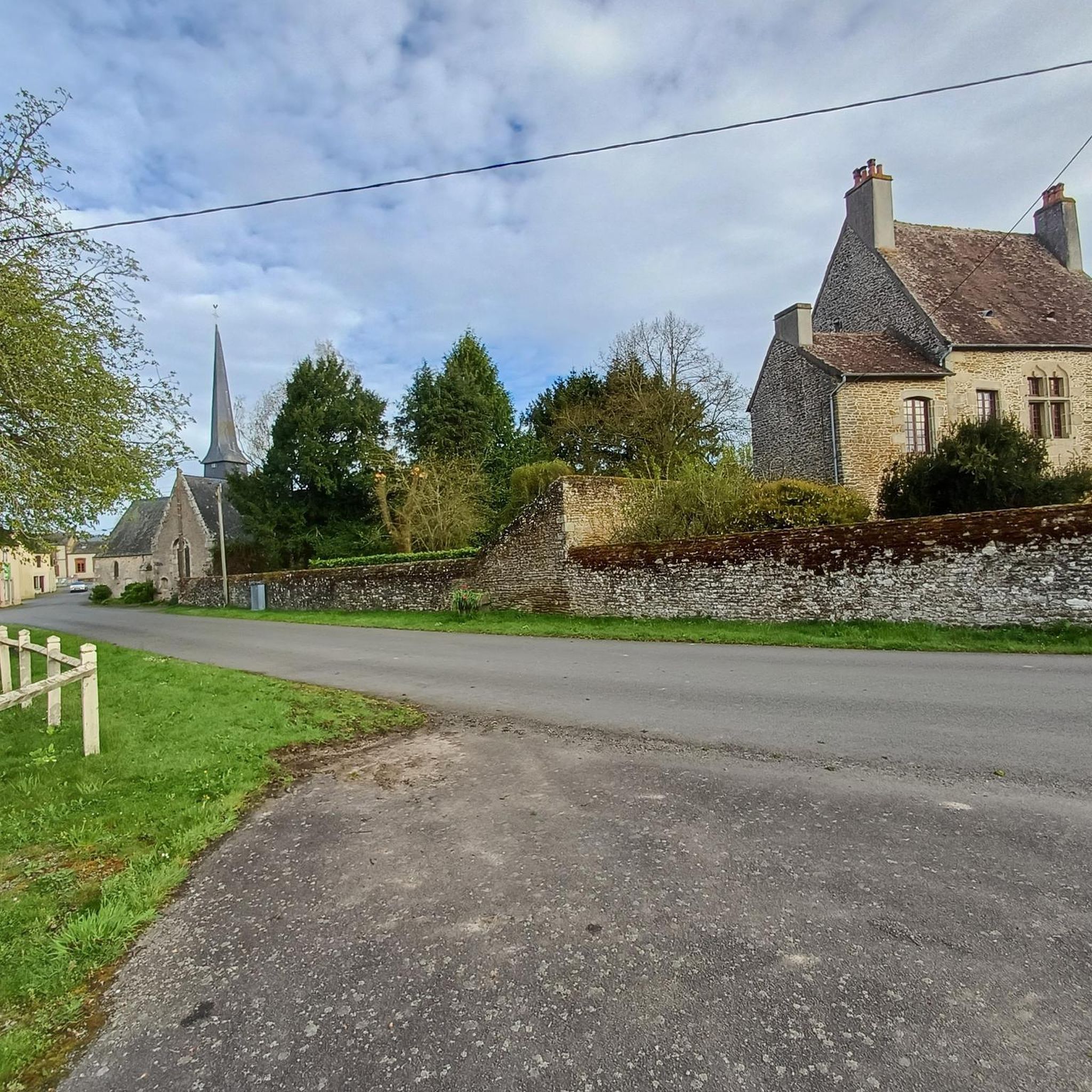
- Visitors also love Sainte-Anne de Champfrémont, a religious building located at the edge of the Multonne forest. It serves as an ideal starting point for walks in the forest or for a picnic, with tables and a natural spring nearby.
- Champfrémont is known for its diverse natural monuments, including high viewpoints, unique rock formations, and extensive forests. Visitors can explore a variety of natural features, from the geological significance of Mont des Avaloirs to the specialized ecosystems of peat bogs.
- The natural monuments around Champfrémont are appreciated by the komoot community, with more than 70 upvotes and over 50 photos shared by users.
Last updated: August 14, 2026
Mont des Avaloirs viewpoint
Highlight • Viewpoint
The belvedere, built in 1994 and covered with a magnificent colorful fresco, painted in 2019 by the Franco-British artist Seb Toussaint.
It offers a 360° view of all the surrounding forests and peaks.
Translated by Google •
Tip by

Alpes mancelle viewpoint st léonard des bois
Highlight • Viewpoint
Translated by Google •
Tip by

Sign up now to discover places like this
Get recommendations on the best single tracks, peaks, & plenty of other exciting outdoor places.
Sign up for free
Rochers du Sphinx
Highlight • Natural Monument
Translated by Google •
Tip by
Sainte-Anne de Champfrémont
Highlight • Religious Site
Translated by Google •
Tip by

Start today with a free account
Your next adventure awaits.
Login or Signup



Other adventures around Champfrémont

Tips from the Community

A truly magnificent landscape
0
0

Riding up there by bike was quite strenuous, but the view from the top was worth the effort. It was well worth it.
0
0

Beautiful 360 degree view
1
0

you have to make an effort to see this! but woo top
0
0

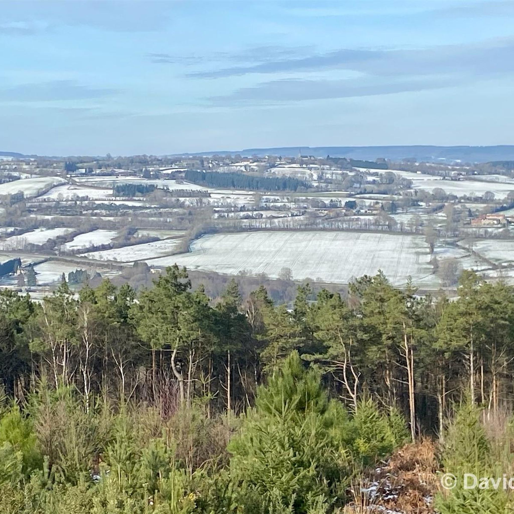
Located in Mayenne, Mont des Avaloirs is the highest point of the Armorican massif. It is part of the Normandy-Maine Regional Natural Park and enjoys the status of a Global Geopark. The belvedere, built in 1994 and covered with a magnificent colorful fresco, painted in 2019 by the Franco-British artist Seb Toussaint. It offers a 360° view of all the surrounding forests and peaks.
0
0

From its height of 416 meters, Mont des Avaloirs is the highest point of the Armorican Massif. At the top there is a belvedere which offers a 360 degree panorama.
2
0

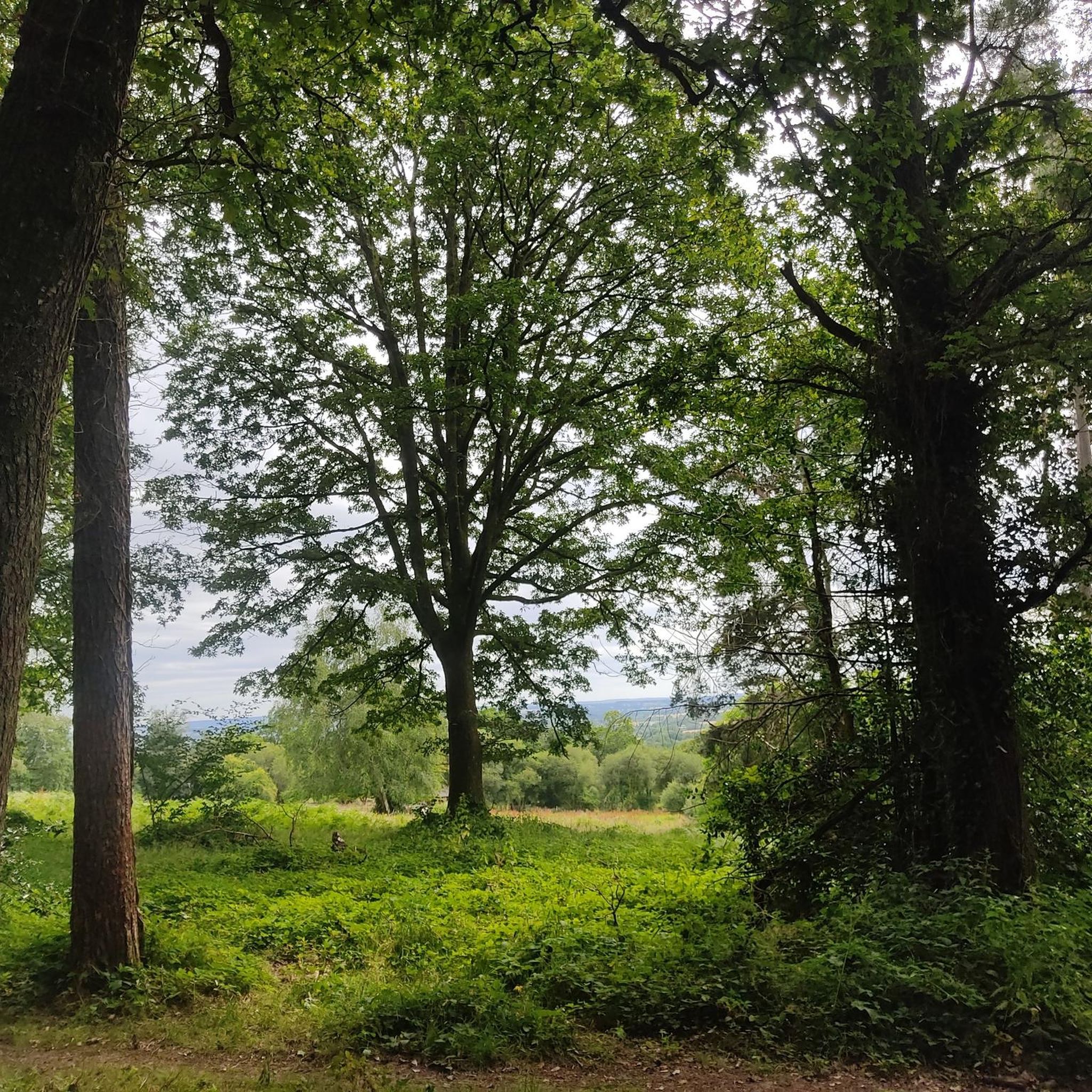
The forest at the top gives way to scree on the slopes. The view of Saint-Léonard-des-Bois is well worth the trek to its 216-metre summit.
2
0
The Sphinx rocks are made up of sandstone and are said to resemble the Sphinx of Giza. They were formed hundreds of millions of years ago. It's worth stopping briefly during your run if you need a break.
2
0
Frequently Asked Questions
What are the most prominent natural monuments to visit around Champfrémont?
The region offers several significant natural monuments. Don't miss Mont des Avaloirs viewpoint, the highest point in Western France, offering panoramic views. Another notable site is the Alpes mancelle viewpoint st léonard des bois, which provides scenic views over Saint-Léonard-des-Bois. You can also explore the unique rock formations of Rochers du Sphinx.
What unique natural features can I find in the Champfrémont area?
The area is rich in diverse natural features. Besides the high viewpoints like Mont des Avaloirs, you can discover unique geological formations such as the Rochers du Sphinx, which are ancient sandstone formations. The region also features extensive forests, including the Multonne Forest, and specialized ecosystems like the Egoutelles peat bog, home to rare flora and fauna, including carnivorous plants.
Are there family-friendly natural monuments around Champfrémont?
Yes, several natural monuments are suitable for families. Mont des Avaloirs viewpoint is considered family-friendly, offering accessible panoramic views. The site of Sainte-Anne de Champfrémont, located at the edge of the Multonne forest, is an ideal starting point for gentle walks and picnics with natural springs nearby.
What outdoor activities can I do near these natural monuments?
The Normandie-Maine Regional Natural Park and Geopark offers a variety of outdoor activities. You can enjoy hiking, cycling, and gravel biking. For hiking, explore routes like the 'Mont des Avaloirs and the house of Maquis Courtemiche' loop or the 'Sainte-Anne de Champfrémont' loop. Find more details on routes in the Hiking around Champfrémont guide.
What is the best time to visit the natural monuments around Champfrémont?
The region is beautiful year-round, but spring and autumn offer particularly pleasant conditions for exploring, with mild temperatures and vibrant natural colors. Spring brings blooming flora, while autumn showcases stunning foliage. Summer is also popular for outdoor activities, though it can be warmer.
Can I bring my dog to the natural monuments and trails?
While specific rules can vary by site, generally, dogs are welcome on trails within the Normandie-Maine Regional Natural Park, often on a leash. It's always recommended to check local signage or park regulations for specific areas, especially sensitive ecological sites like peat bogs, to ensure responsible pet ownership.
What is the geological significance of the Champfrémont region?
The Champfrémont area, part of the Normandie-Maine Regional Natural Park and Geopark, boasts a rich geological history spanning 600 million years. It features ancient mountain ranges and rocky escarpments. The region was recently awarded the UNESCO World Geopark label in 2024, recognizing its international geological importance and commitment to sustainable development. Mont des Avaloirs, for instance, is the highest point of the Armorican Massif.
Are there hiking trails around Sainte-Anne de Champfrémont?
Yes, Sainte-Anne de Champfrémont is an excellent starting point for walks in the Multonne forest. There are easy loops available, such as the 'Sainte-Anne de Champfrémont loop from Champfrémont', which is approximately 7 km long. You can find more hiking options in the Hiking around Champfrémont guide.
Where can I find panoramic viewpoints in the Alpes Mancelles near Champfrémont?
For exceptional panoramic views, visit Mont des Avaloirs viewpoint, which offers a 360-degree vista from its 18-meter-tall viewpoint. Another great spot is the Alpes mancelle viewpoint st léonard des bois, providing scenic views over Saint-Léonard-des-Bois.
What do visitors enjoy most about the natural monuments around Champfrémont?
Visitors frequently praise the breathtaking panoramic views, especially from Mont des Avaloirs. The tranquility of the Multonne forest and the opportunity for peaceful walks and picnics at sites like Sainte-Anne de Champfrémont are also highly appreciated. The unique geological formations and diverse ecosystems, including rare flora, also draw significant interest.
Is there public transport available to reach the natural areas near Champfrémont?
Public transport options directly to all natural areas might be limited. It is generally recommended to use a car for greater flexibility when exploring the more remote natural monuments and trailheads within the Normandie-Maine Regional Natural Park. For specific routes, checking local bus services from nearby towns like Alençon or Mayenne is advisable, though direct access to all sites may require planning.
Are there any specific permits required for hiking in the Normandie-Maine Regional Natural Park?
Generally, no specific permits are required for hiking on marked trails within the Normandie-Maine Regional Natural Park. However, always respect private property, stay on designated paths, and adhere to any local regulations, especially in protected areas or nature reserves like the Egoutelles peat bog, to preserve the natural environment.
Most popular routes around Champfrémont
Most popular attractions around Champfrémont

Get inspired with the komoot mobile app


Explore more
Extend your search for the best caves by checking out these guides of the top ones around Champfrémont:
