The 3 Most Amazing Peaks around Messimy
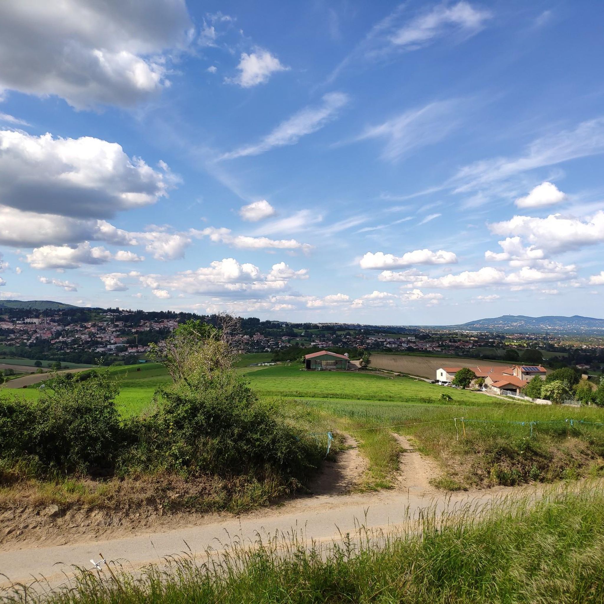
Best mountain peaks near Messimy are found within the natural region of the Coteaux du Lyonnais, bordered by the foothills of the Monts du Lyonnais. While the area features elevated points and hills rather than traditional towering peaks, it offers picturesque landscapes. The region provides various trails suitable for hiking, with some routes involving significant elevation gains. These routes allow visitors to explore the local flora and fauna and enjoy panoramic vistas of the Lyonnais region.
Best mountain peaks around…
Last updated: August 13, 2026
Malval Pass (732 m)
Highlight • Mountain Pass
Translated by Google •
Tip by

Le Signal de Saint André
Highlight • Summit
Translated by Google •
Tip by

Sign up now to discover places like this
Get recommendations on the best single tracks, peaks, & plenty of other exciting outdoor places.
Sign up for free
The Camel
Highlight • Summit
Translated by Google •
Tip by

Panorama of the Monts du Lyonnais
Highlight • Summit
Translated by Google •
Tip by

Start today with a free account
Your next adventure awaits.
Login or Signup
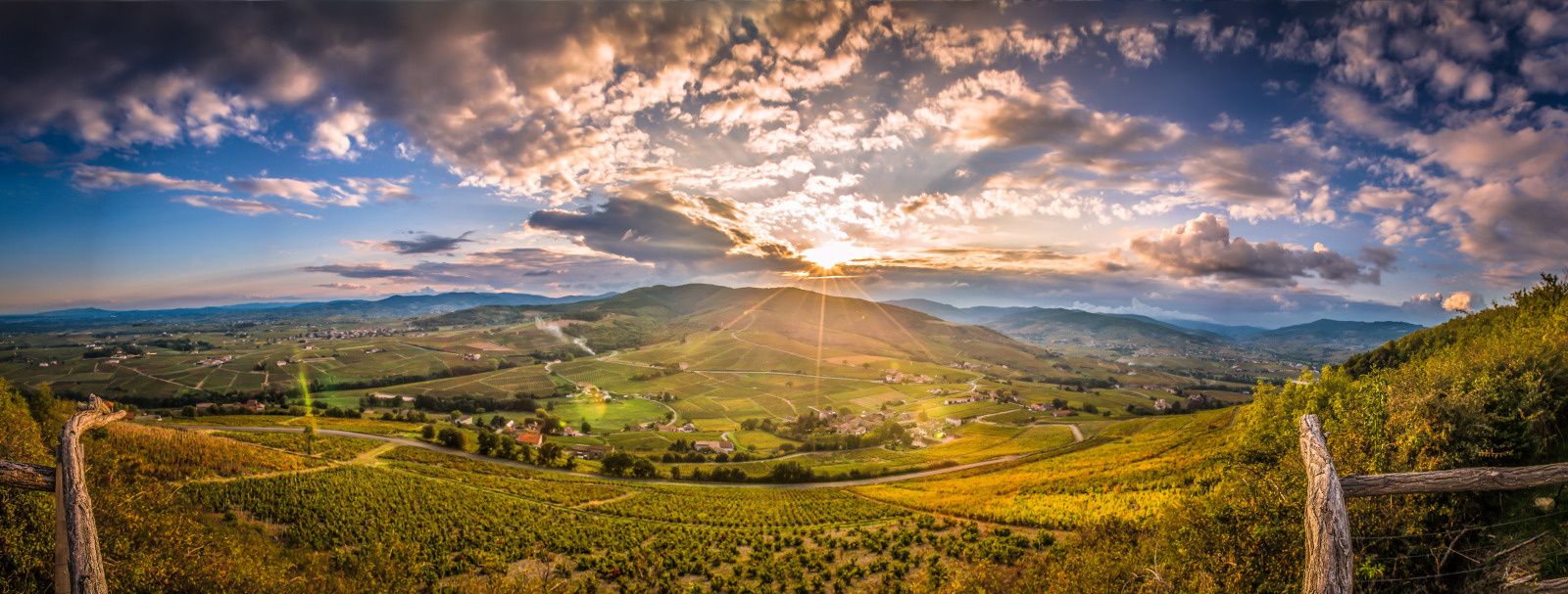
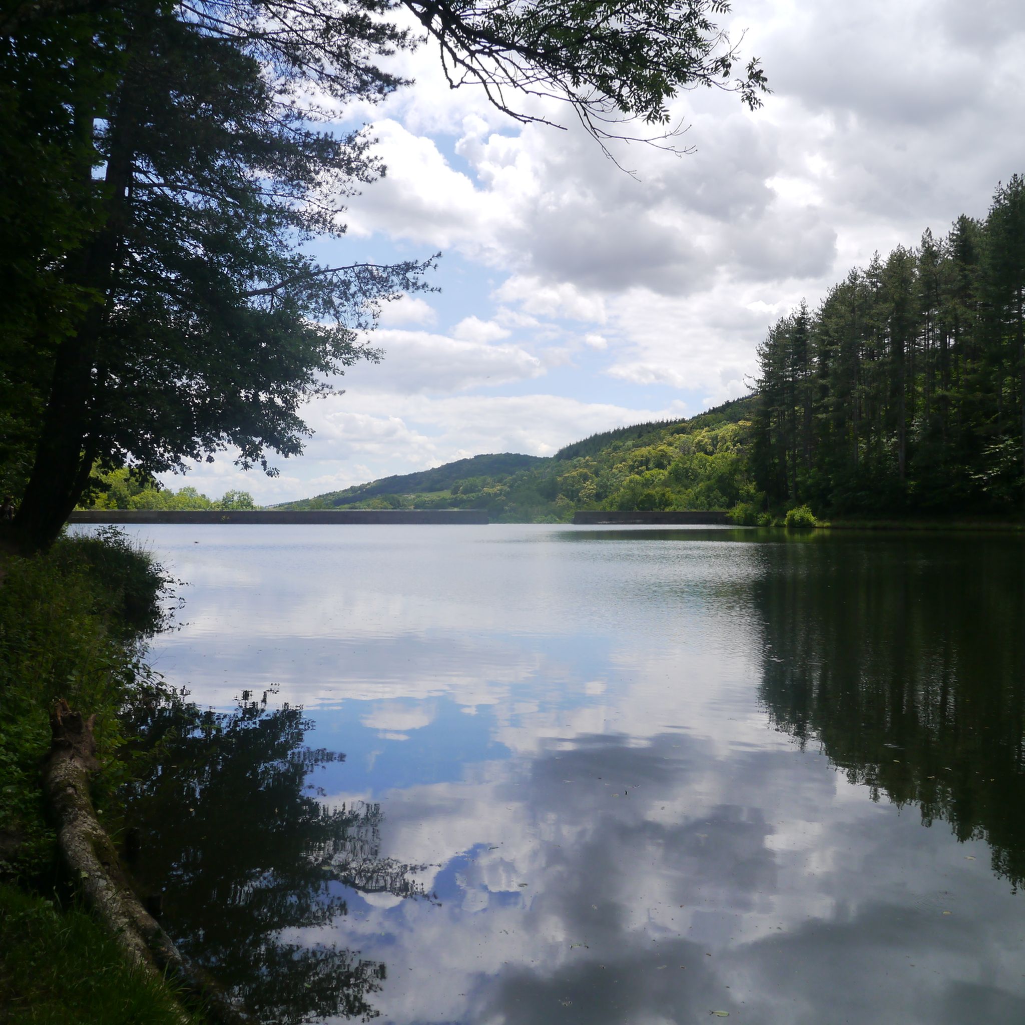
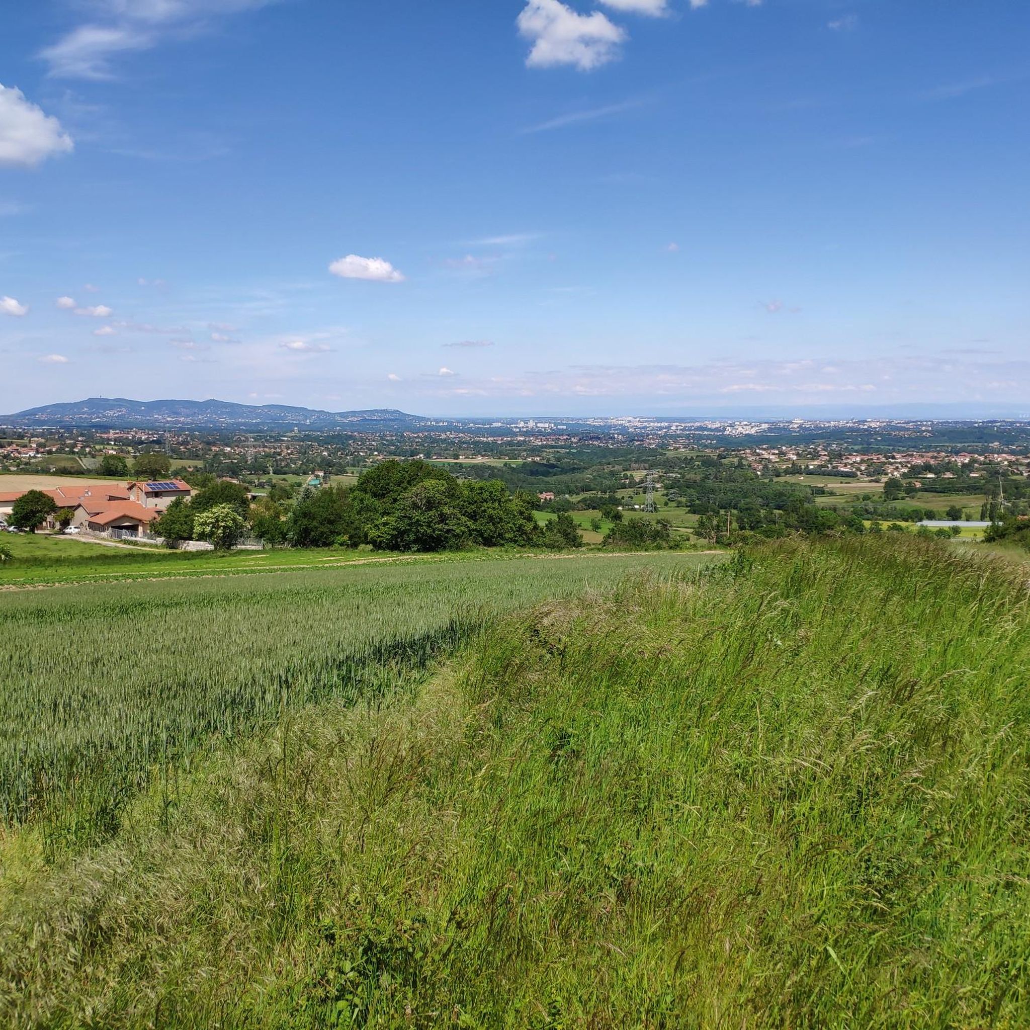
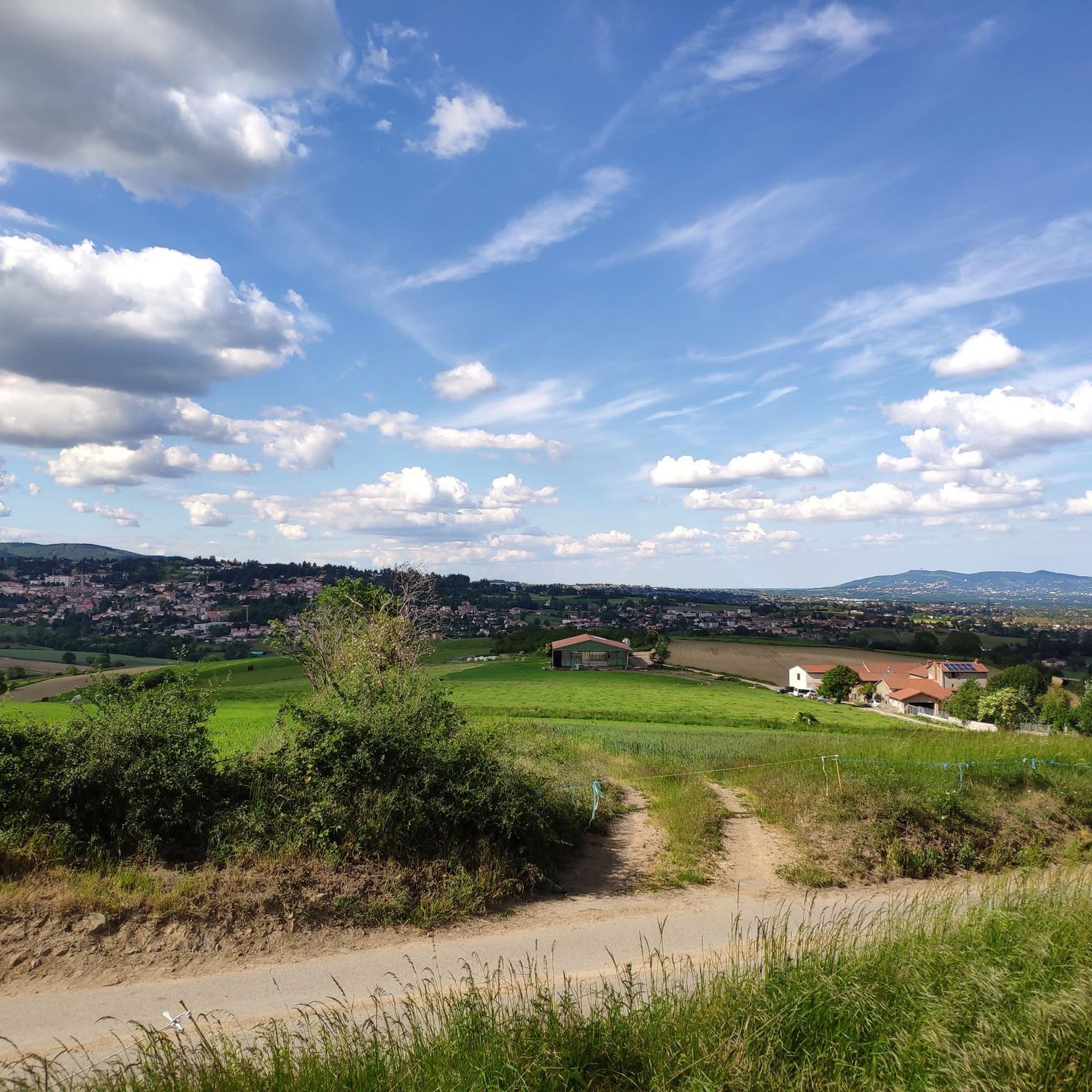

Other adventures around Messimy

Tips from the Community

The Col de Malval, in the Monts du Lyonnais, rises to an altitude of 732 metres. Even though the climb is mainly through forest, a few clearings allow you to enjoy the views of Lyon and the Alps.
1
0

Piece of the Roman aqueduct of Gier resembling a camel.
0
0

Landscaped summit (accessible on foot) commemorating the locations of the geographer César-François Cassini de Thury between 1758 and 1761.
0
0

From Grand Croix, you can appreciate the Monts du Lyonnais. Breathtaking views that deserve a stop.
2
0

One of the still visible elements of the Roman aqueduct of Gier, where nature and time have played with the stones to give them this improbable shape reminiscent of a camel (or more surely a dromedary!).
0
0

The Signal de Saint André, at an altitude of 934m, is one of the highest points of the Monts du Lyonnais. At the top, accessible on foot via a small path, a belvedere allows you to enjoy a view overlooking the Valley.
1
0

Getting to the top by car is one thing, but getting to the top by bike is something else! A must-see in the Lyonnais mountains.
0
0

A multitude of paths await you .... It becomes difficult to take the right one!
1
0
Frequently Asked Questions
What kind of natural landscapes can I expect to see around Messimy's peaks?
The region around Messimy, particularly the Monts du Lyonnais, offers picturesque landscapes with elevated points that provide stunning views. You'll find a mix of forests and clearings, with some spots like Malval Pass (732 m) offering panoramic vistas of Lyon and even the distant Alps on clear days. The area is characterized by hills and high points rather than towering mountains, but still provides a rewarding outdoor experience.
Are there any historical sites or unique natural monuments among the peaks?
Yes, Le Signal de Saint André is a significant historical site. At 934 meters, it's one of the highest points in the Monts du Lyonnais and features a belvedere. It also commemorates the work of geographer César-François Cassini de Thury from the 18th century. Another unique spot is The Camel, a fascinating rock formation that is part of the ancient Roman aqueduct of Gier, shaped by nature to resemble its namesake.
Are there family-friendly options for exploring the peaks near Messimy?
Absolutely. While many trails involve elevation, some areas are suitable for families. For instance, Malval Pass (732 m) is noted as family-friendly, offering various paths through the forest. When planning, look for routes with moderate difficulty or shorter distances to ensure a pleasant experience for all ages.
What are the best viewpoints in the Monts du Lyonnais near Messimy?
For breathtaking views, consider visiting Panorama of the Monts du Lyonnais, which offers expansive vistas from Grand Croix. Additionally, Le Signal de Saint André provides a belvedere with views overlooking the valley, and Malval Pass (732 m) offers clearings with views of Lyon and the Alps.
What outdoor activities can I do near these mountain peaks?
The area around Messimy is excellent for various outdoor activities. You can find numerous options for hiking, road cycling, and mountain biking. For detailed routes and guides, explore the dedicated pages for hiking around Messimy, road cycling routes, and MTB trails.
Are there challenging hikes available in the Monts du Lyonnais?
Yes, the Monts du Lyonnais offer trails with significant elevation gains that can be quite challenging. For instance, the 'Granite Outcrop View – Yzeron Waterfall loop from Messimy' is a difficult 19.9 km hike with a 640 m elevation gain, typically taking around 6 hours. You can find more challenging options in the hiking guide for Messimy.
What is the highest point in the immediate vicinity of Messimy?
While not a traditional 'mountain peak', the highest point within the commune of Messimy itself is le Plat Saint-Romain, reaching an altitude of 606 meters. For higher points in the broader Monts du Lyonnais, Le Signal de Saint André stands at 934 meters, making it one of the highest summits in the range.
Can I find easy or moderate hiking trails near Messimy's peaks?
Yes, there are several easy to moderate hiking trails. For example, the 'Piragoy orientation table loop from Messimy' is a moderate 8.5 km route. Other moderate options include the 'Messimy Church – View of the Garon Valley loop' and the 'Saint John the Baptist Chapel – Panorama of the Monts du Lyonnais loop'. These are great for exploring the local scenery without extreme difficulty. More options are available in the hiking guide for Messimy.
What makes Croix Perrière a notable spot?
Croix Perrière, at approximately 770 meters above sea level, offers a well-deserved break after the climb from Thurins. It's known for providing a sense of elevation and expansive views, with some visitors describing it as offering '4km of Alps in the Monts du Lyonnais', highlighting its impressive vistas.
What do visitors enjoy most about exploring the peaks and high points around Messimy?
Visitors particularly enjoy the diverse paths and the rewarding views. Many appreciate the opportunity to see panoramic landscapes of Lyon and the Alps from spots like Malval Pass (732 m). The blend of natural beauty, historical significance at places like Le Signal de Saint André, and the variety of trails for different skill levels makes the region highly appealing for outdoor enthusiasts.
Most popular routes around Messimy
Most popular attractions around Messimy

Get inspired with the komoot mobile app


Explore more
See even more amazing summits around Messimy with these guides:
