The best walks and hikes around Lauenbrück
4.7
(141)
489
hikers
43
hikes
Hiking around Lauenbrück offers diverse natural landscapes within the Elbe-Weser triangle, characterized by rivers, forests, and heathlands. The region features the Wümme River and its lowlands, a vast nature reserve with expansive meadows and riverine plains. Extensive forests and lakes, such as the Fintausee, contribute to varied terrain. Additionally, Lauenbrück is known for its flowering heath landscapes, including the Heide-Pfad and Vareler Heide.
Best hiking trails around Lauenbrück
- The most popular hiking route is Fintausee and Fintau Pathway – Fintau…
Last updated: August 11, 2026
5.0
(4)
14
hikers
Moderate hike. Good fitness required. Easily-accessible paths. Suitable for all skill levels.
4.1
(8)
18
hikers
5.40km
01:22
10m
10m
Easy hike. Great for any fitness level. Easily-accessible paths. Suitable for all skill levels.

Sign up for free
4.6
(7)
18
hikers
3.65km
00:55
10m
10m
Easy hike. Great for any fitness level. Easily-accessible paths. Suitable for all skill levels.
5.0
(2)
13
hikers
Easy hike. Great for any fitness level. Easily-accessible paths. Suitable for all skill levels.
4.3
(34)
15
hikers
Easy hike. Great for any fitness level. Easily-accessible paths. Suitable for all skill levels.
Get access to more routes and recommendations from other explorers.
Sign up for free
Already have an account?
Our route recommendations are based on thousands of hikes, rides, and runs completed by other people on komoot.
Start today with a free account
Your next adventure awaits.
Login or Signup






Tips from the Community

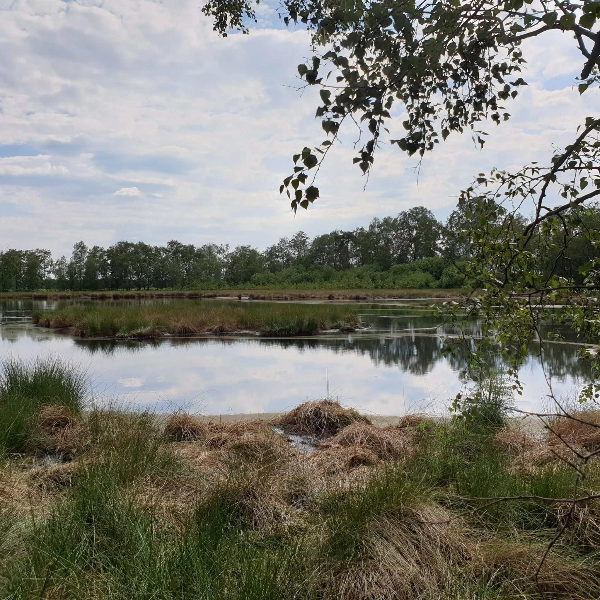
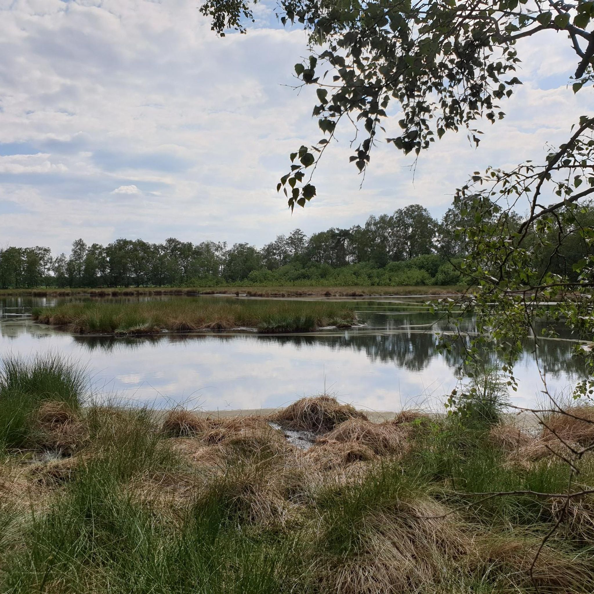
From here you have a wonderful view of the lake.
0
0

Here the Fintau flows into the Wümme and says goodbye to us.
2
0
Beautiful lake where you can linger for a while.
2
0
The Fintau in Lauenbrück has many places that invite you to linger and take a quiet and relaxing break from hiking.
3
0
Apart from the arrival and departure, nothing special.
2
0
On the trail between Fintau and Fintausee. Narrow paths and water on both sides, very beautiful.
3
1
Frequently Asked Questions
How many hiking trails are available in Lauenbrück?
Lauenbrück offers a wide selection of over 40 hiking routes, catering to various preferences and skill levels, from leisurely strolls to more challenging excursions.
What kind of terrain can I expect on hikes around Lauenbrück?
The landscape around Lauenbrück is diverse, featuring serene riverine paths along the Wümme, expansive meadows in the Wümmeniederung, dense forests, and vibrant heathlands like the Vareler Heide. You'll encounter a mix of flat, easy paths and gently rolling terrain.
Are there any easy hiking routes suitable for beginners or families?
Yes, Lauenbrück has many easy routes. For instance, the Wooden Bridge Over the Wümme – Wümme Stream loop is an easy 2.3-mile (3.7 km) path following the Wümme river. Another accessible option is the Fintau Bridge Near Lauenbrück – View from the Fintau Bridge loop, which is just under 3.5 miles (3.5 km) long.
What are the best times of year to go hiking in Lauenbrück?
Spring, summer, and autumn each offer unique charms for hiking in Lauenbrück. Spring brings reawakening nature, while late summer is ideal for experiencing the vibrant colors of the heathlands, especially the Vareler Heide. Autumn provides beautiful foliage, and even in winter, hardy hikers can find delightful routes.
Are there any circular hiking routes in Lauenbrück?
Many of the trails around Lauenbrück are designed as loops. A popular moderate circular route is the Fintausee and Fintau Pathway – Fintau Lakes in Lauenbrück loop, which explores the Fintau lakes. For a slightly longer option, consider the Lauenbrück Railway Station – Fintau Crossing loop.
What interesting landmarks or natural features can I see along the trails?
Hikers can discover several points of interest. The Vareler Heath offers stunning heathland scenery, especially in late summer. You might also encounter the Sittensen Watermill and Mill Pond, or observe wildlife from the Birdwatching Tower in Tister Bauernmoor. The Historic Wümme Crossing is another notable feature.
Are the hiking trails in Lauenbrück dog-friendly?
Generally, the natural landscapes and trails around Lauenbrück are welcoming for dogs, provided they are kept on a leash, especially in nature reserve areas like the Wümmeniederung, to protect local wildlife and livestock. Always check local signage for specific restrictions.
What do other hikers enjoy most about the trails in Lauenbrück?
The trails in Lauenbrück are highly rated by the komoot community, with an average score of 4.7 stars. Reviewers often praise the peaceful riverine landscapes, the beauty of the heathlands, and the well-maintained paths that make for enjoyable and accessible walks.
Are there options for public transport to reach hiking starting points?
Lauenbrück has a railway station, making it accessible by public transport. Many routes, such as the Lauenbrück Railway Station – Wooden Bridge Over the Wümme loop, start directly from the station, offering convenient access to the trail network.
Are there any places to eat or rest along the hiking routes?
While specific cafes directly on every trail might be limited, the LandPark Lauenbrück, which some routes pass near, offers a small restaurant where hikers can rest and refuel. The town of Lauenbrück itself also provides amenities.
What is the Wümmeniederung and why is it significant for hikers?
The Wümmeniederung (Wümme Lowlands) is a vast nature reserve, part of a larger Natura 2000 site. It offers expansive views across meadows and riverine plains, providing a unique moor, geest, and forest landscape. Hikers can enjoy peaceful walks and observe diverse bird species, especially during winter and summer.
Most popular routes around Lauenbrück
Most popular attractions around Lauenbrück

Get inspired with the komoot mobile app


Explore more
Browse the best Hikes in other regions.
