Top 8 Mountain Passes around Joux
Best mountain passes around Joux are found in the Vallée de Joux, a mountain valley in the Swiss Jura Mountains. This region features several notable mountain passes and peaks. The landscape is characterized by extensive forests, flower meadows, and varied terrain. It offers diverse experiences for outdoor activities.
Best mountain passes around Joux
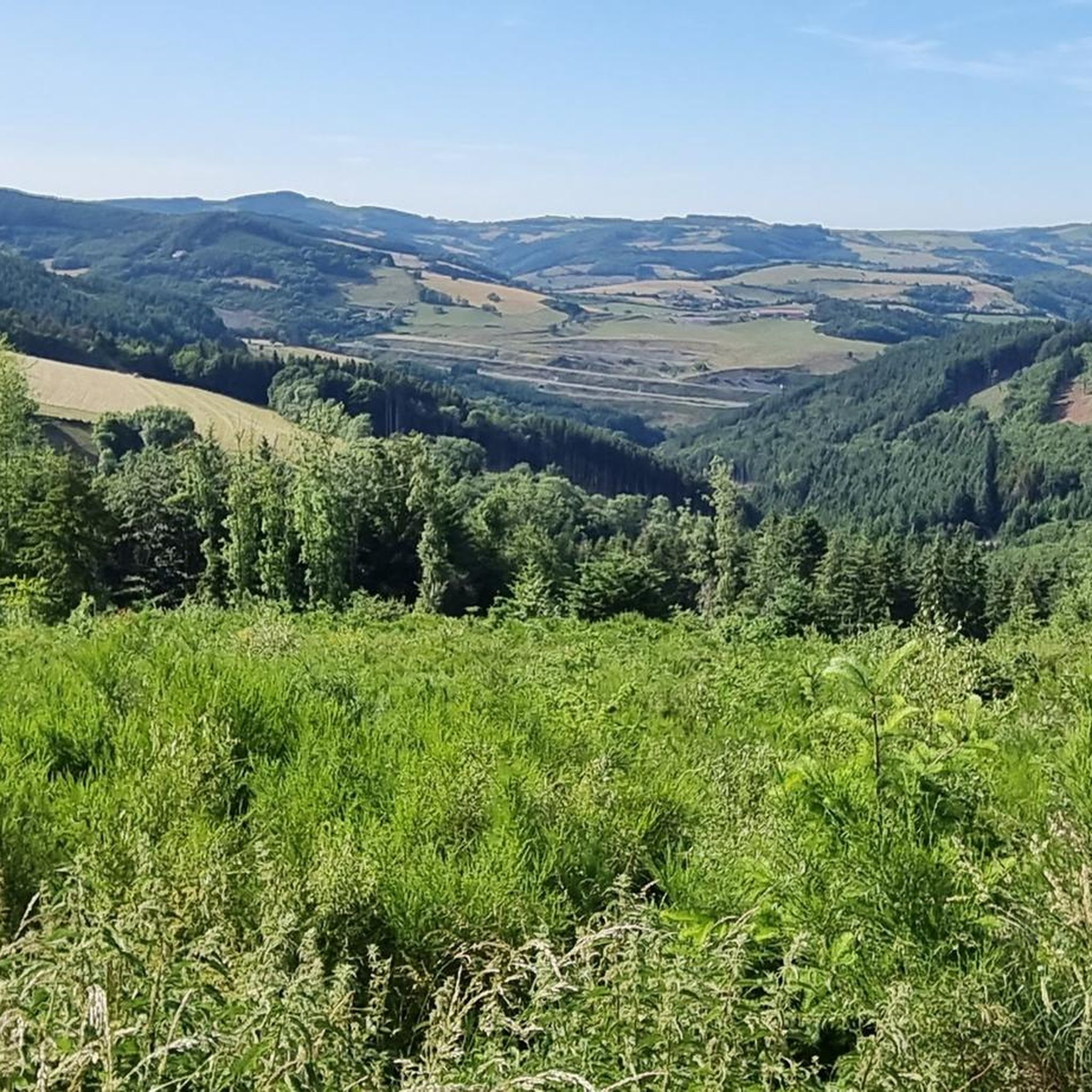
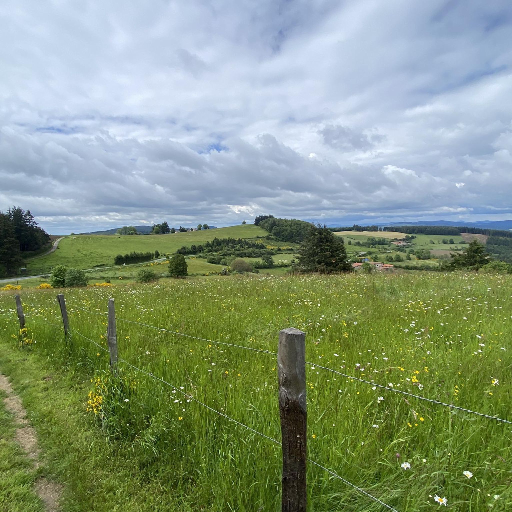
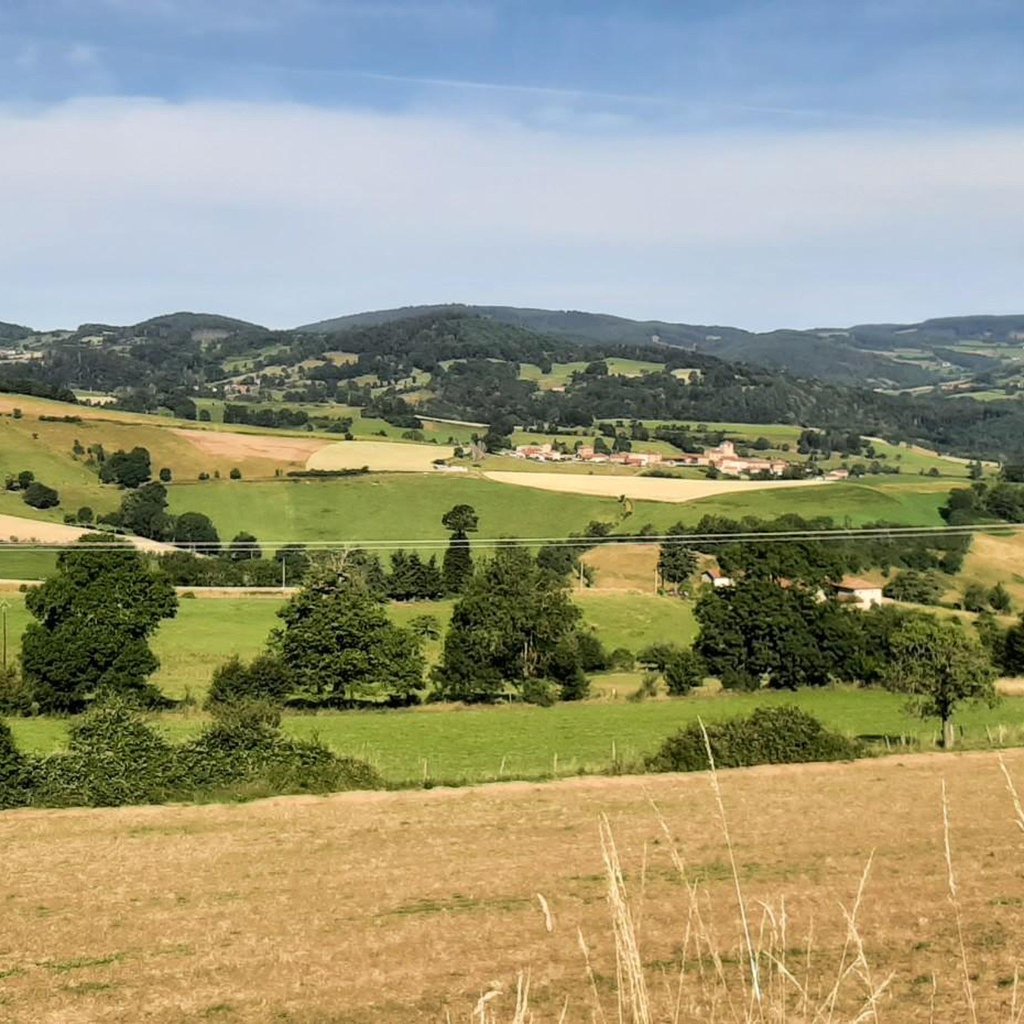
- The most popular mountain passes is Col de la Croix de Mazieux, a mountain pass that offers a magnificent view at a crossroads of many roads.…
Last updated: November 2, 2026
Col de la Croix de Mazieux
Highlight • Mountain Pass
Translated by Google •
Tip by

Pilon Pass (727 m)
Highlight (Segment) • Mountain Pass
Translated by Google •
Tip by

Sign up now to discover places like this
Get recommendations on the best single tracks, peaks, & plenty of other exciting outdoor places.
↗ "Col des Cassettes" from Tarare
Highlight (Segment) • Mountain Pass
Translated by Google •
Tip by

Col de la Croix de Thel (650 m)
Highlight • Mountain Pass
Translated by Google •
Tip by
Col de la Croix Cazard (865 m)
Highlight • Mountain Pass
Translated by Google •
Tip by
Sign up for free to discover even more mountain passes around Joux.
Already have an account?
Start today with a free account
Your next adventure awaits.
Tips from the Community

Cross marking the Col de Mazieux.
0
0

Tipping point on the ridge between several valleys. Very pleasant climb from Saint Julien sur Bibost.
0
0

Even using the cycle lane I don't feel safe: heavy road traffic and a circuit popular with motorbikes which overtake you at very high speed.
0
0

A very beautiful site with a magnificent view at this crossroads of many roads. However, can we really speak of a pass because it is basically a cross, but this place has the whole profile to be one. In any case what is certain is that you have to go up there!
0
0

The Col de la Croix de Mazieux from Saint-Forgeux is 6 km long with a total drop of about 298 m. The average gradient is 5% with maximum gradients of 9%, however the first part of the climb is steeper and flattens out after 4km.
1
0
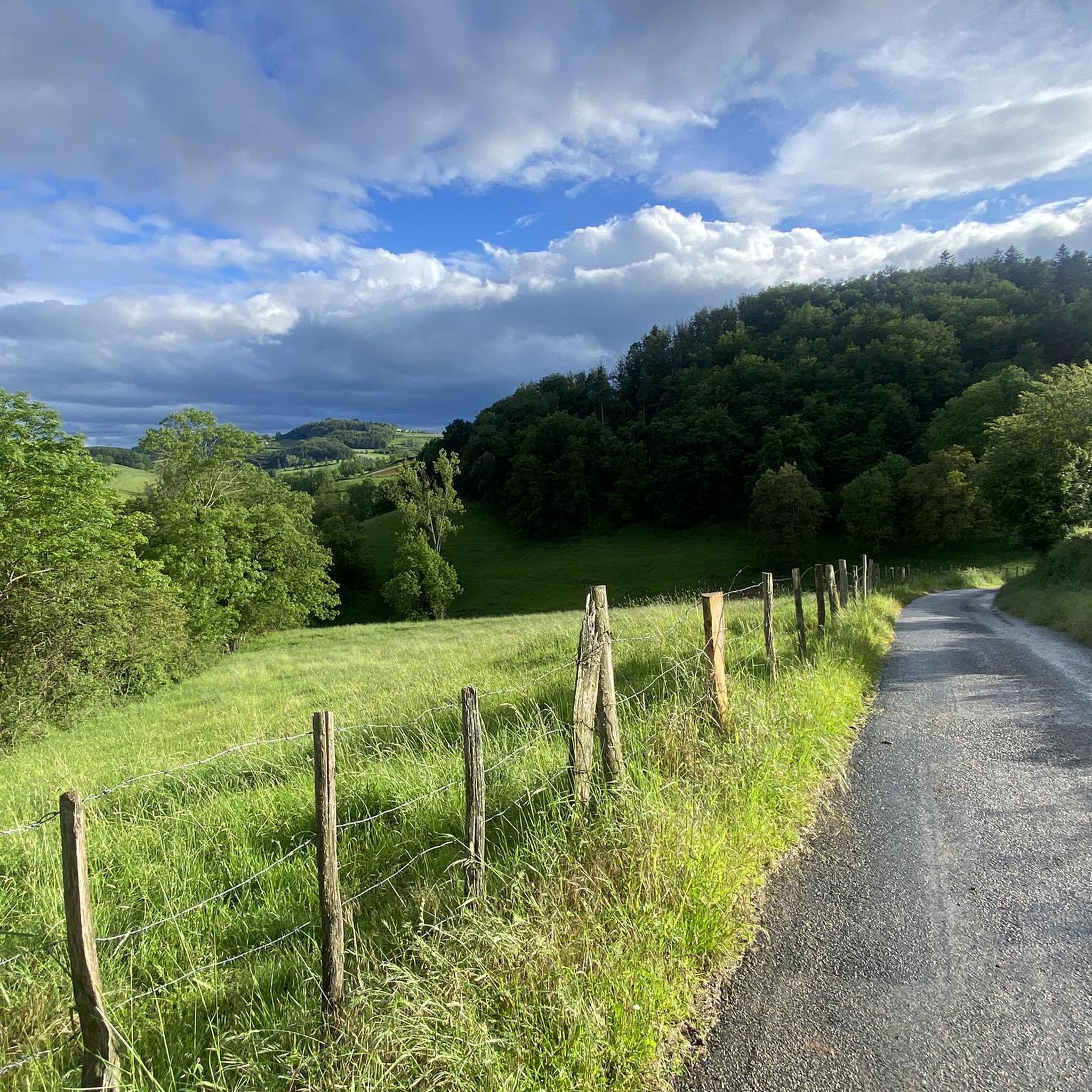
A rolling pass but with a lot of traffic including some heavy goods vehicles. A wide cycle lane allows cyclists to climb in safety. However I advise to take another pass to make the junction, for example to use the road between the cassettes and the pestle on a false uphill slope.
0
0
Pretty long pass on the Tarare side with a constant slope around 5%. Delimits the watershed line between the Rhône and the Loire. Do not hesitate to climb to Mont Boussuivre by extending a few hundred meters and climb to the top of the Matagrin tower to enjoy a magnificent view of the whole region.
1
0
A small pass to do from Tarare, or Valsonne. Not very hard percentages and quite short. Rural landscapes surround us on the climb. Note a beautiful little road that connects the Col de la Croix Paquet, Col du Pilon with beautiful views but a coating that is not incredible so you can enjoy the landscapes.
2
0
Frequently Asked Questions
Which mountain passes in the Joux region are known for their panoramic views?
For breathtaking panoramic views, the Col du Marchairuz is an excellent choice, offering splendid vistas of Lac Léman and the Savoyan Alps. The nearby Mont Tendre, accessible from the Col du Marchairuz, provides even more extensive panoramas. Additionally, the Col de la Croix de Mazieux also offers a magnificent view at a crossroads of many roads.
What are the best mountain passes for cycling in the Joux area?
The Col du Mollendruz is a significant route for cyclists, having been part of the Tour de France. The Col du Marchairuz is also popular, with ascents from different directions offering varying gradients. For a challenging climb, consider the Col de la Croix de Thel (650 m), known for its 8% average gradient over 4 km from Chamelet.
Are there family-friendly activities or accessible hikes near the mountain passes around Joux?
While not a pass, the Dent de Vaulion offers an accessible hike to its summit, with well-maintained paths and a road allowing visitors to drive close for a shorter walk. At the summit, you'll find park benches, picnic tables, and a small café, making it suitable for families. The Col du Marchairuz also features themed trails within the Parc jurassien vaudois, including a 9 km circular route focused on geology and botany, which can be enjoyable for families.
What kind of natural features can I expect to see around the Joux mountain passes?
The region is characterized by extensive forests, colorful flower meadows, and varied landscapes within the Parc jurassien vaudois. From the Col du Marchairuz, you can see Lac Léman and the Savoyan Alps. The Dent de Vaulion offers a spectacular 360-degree view where you can see up to eight different lakes on clear days, including Lac de Joux and Lake Geneva, along with the Mont Blanc massif.
What outdoor activities are available near the mountain passes around Joux?
The Joux region offers a variety of outdoor activities. You can find numerous MTB Trails around Joux, including routes like the 'Col de la Croix Cazard (865 m) – Matagrin Tower loop'. For road cyclists, there are many Road Cycling Routes around Joux, such as 'The col de la Croix Casard - loop from Tarare'. Touring cyclists can explore options like the 'Beaujolais Vert Loop from Tarare' found in Cycling around Joux.
When is the best time to visit the mountain passes in the Joux region?
The Joux region offers diverse experiences throughout the year. In early summer, the 'Weg der Jurablumen' (Jura Flower Trail) near the Col du Marchairuz is particularly recommended when the meadows are in full bloom. For winter sports, the Col du Mollendruz transforms into a significant center for Nordic activities, including cross-country skiing and snowshoeing. The Buvette de la Dent de Vaulion at the Dent de Vaulion summit is typically open from May to October.
Are there any quiet or less crowded mountain passes for a peaceful experience?
The Col des Cassettes (622 m) is known for its quiet climb and rural landscapes, offering a more tranquil experience away from heavy traffic. Similarly, the Col de la Croix de Thel (650 m) is noted for its low traffic, providing a peaceful environment for visitors.
What facilities or amenities are available at the mountain passes?
At the Col du Marchairuz, you'll find a welcoming hotel/restaurant that provides a cozy stop for guests and hikers. The Col du Mollendruz features the historic Chalet du Mollendruz, one of the oldest Alpine cafés in the region, offering a warm atmosphere for dining. Equipment rental for winter sports is also available on-site at Nordic Sport. The Dent de Vaulion summit has park benches, picnic tables, and a small café (Buvette de la Dent de Vaulion) for refreshments.
Can I find hiking trails that connect different passes or offer circular routes?
Yes, the main Jurassien walking path, the Chemin des Crêtes, passes along the Col du Marchairuz. Additionally, the Parc jurassien vaudois, which encompasses the Col du Marchairuz, offers several themed circular trails. For the Dent de Vaulion, circular hikes are possible, often starting from villages like Le Pont.
What are the difficulty levels for cycling routes over these mountain passes?
Cycling routes vary in difficulty. For instance, the Col de la Croix de Mazieux features a climb of about 6 km with an average gradient of 5%, with maximum gradients of 9% in its initial part. The Col de la Croix de Thel (650 m) from Chamelet is considered a challenging climb, averaging 8% over 4 km. The Pilon Pass (727 m) is described as a rolling pass with a slight but very long slope.
Are there any mountain passes that are particularly good for winter activities?
Absolutely. The Col du Mollendruz is a significant hub for Nordic activities in winter, boasting an extensive network of cross-country ski trails and snowshoeing paths. The Col du Marchairuz area is also known for its cross-country ski pistes. Additionally, the Dent de Vaulion has a small ski resort on its southern slope and is popular for snowshoeing and backcountry skiing.
What do komoot users appreciate most about the mountain passes around Joux?
Komoot users appreciate the diverse experiences offered by the mountain passes around Joux. They highlight the magnificent views from places like the Col de la Croix de Mazieux and the challenging yet rewarding climbs of passes such as the Col de la Croix de Thel (650 m). The rural landscapes and quiet climbs of spots like the Col des Cassettes (622 m) are also frequently praised.
Most popular attractions around Joux

Get inspired with the komoot mobile app


Explore more
See even more epic mountain passes by checking out these guides around Joux:
