Top 20 Natural Monuments around El Cardoso De La Sierra
Best natural monuments around El Cardoso De La Sierra are found within the Sierra de Ayllón, a region characterized by its dramatic landscape of valleys, gorges, rivers, forests, and meadows. The area is home to the Jarama and Jaramilla rivers, offering diverse natural features. This region in Guadalajara provides a variety of compelling natural monuments, including impressive waterfalls and prominent mountain peaks. The Sierra de Ayllón also boasts some of the highest mountains in the province, contributing to its rugged appearance.
Best natural monuments around El Cardoso De La Sierra
- The most popular natural monuments is Chorrera de los Litueros Waterfall, a waterfall formed by the Caño and Las Pedrizas streams. It is particularly spectacular during thaw periods and in spring when water flow is at its peak, offering scenic views.
- Another must-see spot is Pico Ocejón, a summit at 2049 meters above sea level. This peak is one of the highest and most popular for hiking in the region, offering panoramic views and rich biodiversity.
- Visitors also love Despeñalagua Waterfall, an impressive set of waterfalls located in the Chorrera stream. This waterfall has a height of about 120 meters and flows throughout the year, often featuring frost in winter.
- El Cardoso De La Sierra is known for its diverse natural monuments, including waterfalls, mountain summits, and forests. The region offers a variety of natural features to explore, from impressive cascades to high peaks and ancient woodlands.
- The natural monuments around El Cardoso De La Sierra are appreciated by the komoot community, with 40 upvotes and 38 photos shared across various highlights.
Last updated: November 1, 2026
Chorrera de los Litueros Waterfall
Highlight • Waterfall
Translated by Google •
Tip by

Pico Ocejón
Highlight • Summit
Translated by Google •
Tip by

Sign up now to discover places like this
Get recommendations on the best single tracks, peaks, & plenty of other exciting outdoor places.
Despeñalagua Waterfall
Highlight • Waterfall
The waterfall has a height of about 120 meters and flows throughout the year, especially during the thaw season. In winter, frost is often found, which adds a magical touch to the landscape. The route to visit the Chorreras de Despeñalagua is simple and suitable for the whole family. The path, approximately 4.5 km, offers spectacular views and allows you to explore the streets and buildings of Valverde de los Arroyos. Also, on the way to the town, you will pass through other charming black towns such as Palancares, Almiruete and Tamajón. Definitely a destination worth exploring! 😊
Translated by Google •
Tip by
Pico Tres Provincias (Cebollera Vieja)
Highlight • Summit
Translated by Google •
Tip by

Hazel Beech
Highlight • Forest
Translated by Google •
Tip by

Sign up for free to discover even more natural monuments around El Cardoso De La Sierra.
Already have an account?
Start today with a free account
Your next adventure awaits.
Popular around El Cardoso De La Sierra
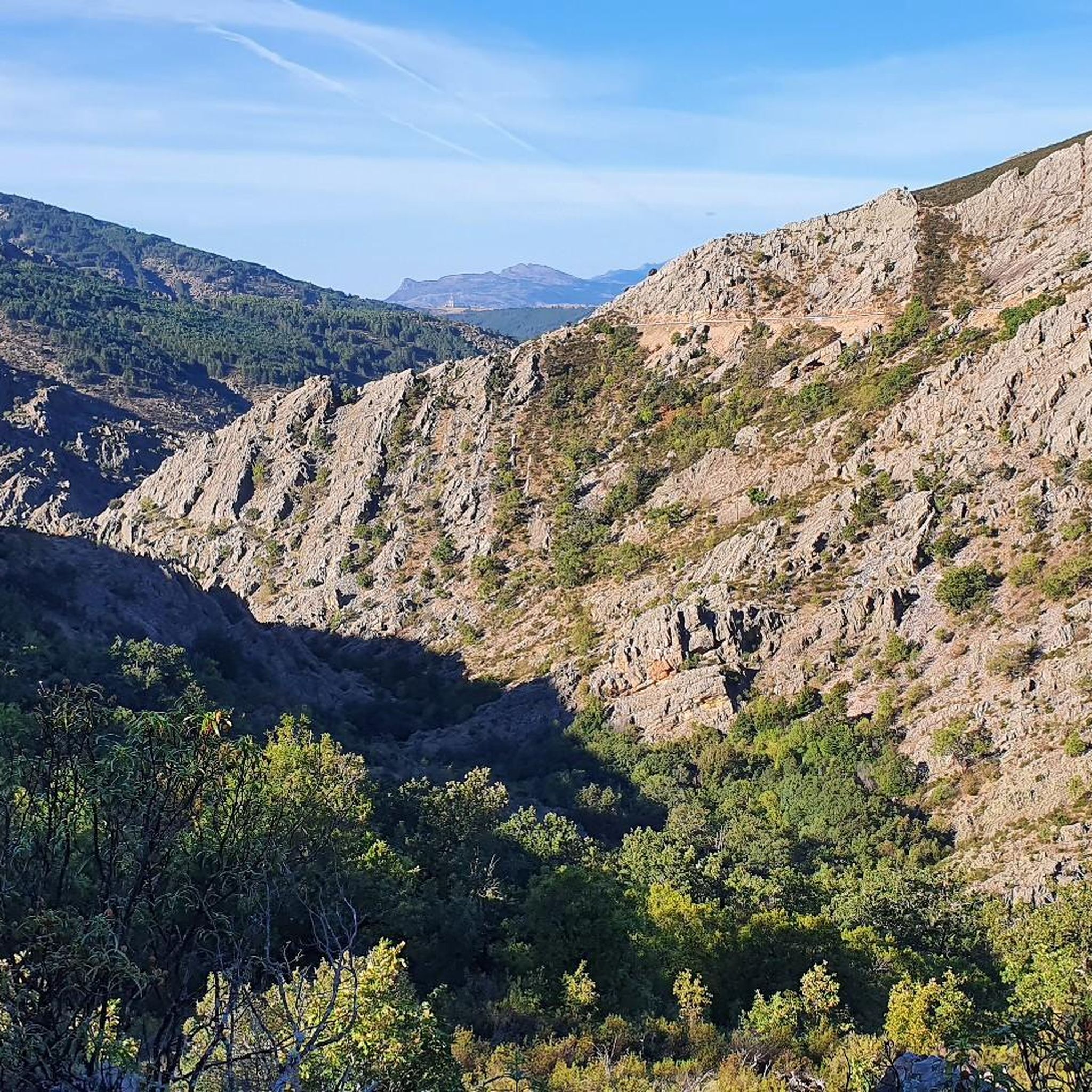
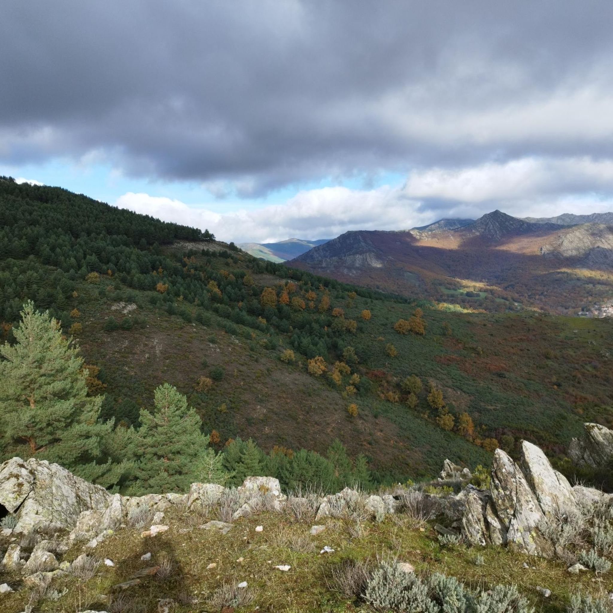
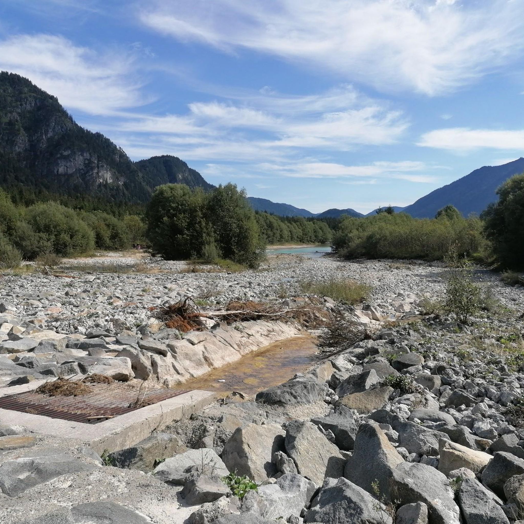
Other adventures around El Cardoso De La Sierra

Tips from the Community

Within the beautiful Hayedo de la Pedrosa there are several centuries-old beech trees of great beauty.
0
0

The waterfall is beautiful when it carries water like this year
1
1
Centenary beech trees in the La Pedrosa Beech Forest.
0
0

Appropriate footwear is required to avoid difficulties on the terrain. This is an easy route from the parking lot located on the old National Highway 1, suitable for children. There's a stream halfway between the waterfall and the parking lot, which makes it a bit difficult to walk when it's carrying water. It's one of the most impressive and beautiful spots in the Madrid mountains.
1
1

The most popular route to ascend Pico Ocejón begins in Valverde de los Arroyos and is known for its scenic beauty and moderate difficulty. The hike is approximately 14.74 km and typically takes around 6 hours with stops. Along the way, hikers can enjoy spectacular views and the rich biodiversity of the area.
7
0

The climb is hard, but it is worth it. Although we were not lucky enough to see all the scenery that should be seen from that height. The descent is almost harder than the ascent.
1
0

Technically simple ascent and you have a spectacular view from the summit.
0
0
At 2049 metres above sea level, it is one of the highest and most popular peaks for hiking in the region. There are several routes to climb Pico Ocejón, the most common being those starting from Majaelrayo and Valverde de los Arroyos. Both routes offer stunning landscapes and the opportunity to enjoy nature at its best.
7
0
Frequently Asked Questions
What are some of the most notable natural monuments to visit in El Cardoso de la Sierra?
The region boasts several impressive natural monuments. Don't miss the spectacular Chorrera de los Litueros Waterfall, especially vibrant during thaw periods and in spring. For panoramic views and a rewarding hike, consider Pico Ocejón, one of the highest and most popular peaks. Another must-see is the Despeñalagua Waterfall, an impressive 120-meter cascade that flows year-round.
When is the best time to visit the natural monuments in El Cardoso de la Sierra?
Spring is an extraordinary time to visit, especially for waterfalls like the Chorrera de los Litueros Waterfall, when water flow is at its peak due to thaw. Autumn is also highly recommended, particularly for routes involving oak forests, which offer beautiful scenery. While some waterfalls may diminish in summer, the Despeñalagua Waterfall flows throughout the year, and winter can offer a magical touch with frost.
Are there family-friendly natural monuments or trails in the area?
Yes, the Despeñalagua Waterfall offers a simple and suitable route for the whole family, approximately 4.5 km long. The Chorrera de los Litueros Waterfall is also described as easily accessible and family-friendly, providing amazing scenic views.
What kind of outdoor activities can I do near these natural monuments?
The region is ideal for various outdoor activities. Hiking is very popular, with routes like the Jarama Trails or the Molino de La Hiruela loop. You can find more hiking options in the Hiking around El Cardoso De La Sierra guide. Cycling and road cycling are also excellent ways to explore the dramatic landscapes, with numerous routes available in the Cycling around El Cardoso De La Sierra guide and the Road Cycling Routes around El Cardoso De La Sierra guide.
Can I find challenging hikes to mountain peaks in this region?
Absolutely. Pico Ocejón, at 2049 meters, is one of the highest and most popular peaks for challenging hikes, offering stunning landscapes. Another significant summit is Pico Tres Provincias (Cebollera Vieja), standing at 2128 meters, marking the confluence of three provinces and providing rewarding ascents.
Are there any unique forest natural monuments to explore?
Yes, the Hazel Beech is a remarkable natural monument featuring centenary beech trees within the beautiful La Pedrosa Beech Forest. You can witness ancient, twisted beech trees, some with roots embracing enormous quartzite rocks, creating a truly monumental natural spectacle.
What kind of views can I expect from the mountain peaks?
From peaks like Pico Ocejón and Pico Tres Provincias, you can expect panoramic views of the surrounding natural landscape, including the dramatic valleys, gorges, and the extensive Sierra de Ayllón. Pico Ocejón is particularly noted for its visibility from a large part of the province due to its sinuous shape.
What are the geological characteristics of the mountains in the Sierra de Ayllón?
The mountains in the Sierra de Ayllón, including prominent peaks like Pico Ocejón and Pico Tres Provincias, are composed of granite, gneiss, and slate. This geological makeup contributes to their rugged and impressive appearance, defining the scenic mountainous landscape around El Cardoso de la Sierra.
Are there opportunities for wildlife spotting near the natural monuments?
The entire Sierra de Ayllón region, encompassing El Cardoso de la Sierra, is recognized for its rich wildlife and diverse ecosystems. While specific spotting locations aren't detailed, the presence of extensive forests, rivers, and high peaks suggests ample opportunities for observing local fauna in their natural habitats.
What makes the Despeñalagua Waterfall unique?
The Despeñalagua Waterfall is unique for its impressive height of about 120 meters and its continuous flow throughout the year, unlike some seasonal cascades. In winter, it often features frost, adding a magical touch to the landscape. Its location near Valverde de los Arroyos also allows visitors to explore charming 'black towns' in the vicinity.
Are there any circular hiking routes that include natural monuments?
Yes, there are circular routes available. For instance, a popular and relatively straightforward circular route from El Cardoso de la Sierra to Pico Santuy takes approximately half a day, offering a rewarding experience through forest tracks and beautiful oak forests. You can find more circular hiking options in the Hiking around El Cardoso De La Sierra guide.
Most popular routes around El Cardoso De La Sierra
Most popular attractions around El Cardoso De La Sierra

Get inspired with the komoot mobile app


Explore more
Extend your search for the best caves by checking out these guides of the top ones around El Cardoso De La Sierra:
