The 20 Most Amazing Peaks around Pfäfers
Best mountain peaks around Pfäfers are found in the scenic Sarganserland region of Switzerland, characterized by a dramatic alpine landscape and significant elevation differences. This area offers a variety of impressive mountain peaks and elevated points. The region provides diverse terrain for outdoor enthusiasts, from accessible viewpoints to challenging alpine ascents. These natural features contribute to the area's appeal for those seeking mountain experiences.
Best mountain peaks around Pfäfers
- The most popular mountain peaks is Pizalun Summit and Viewpoint, a summit that provides expansive panoramas of the St. Gallen and Chur Rhine Valleys, Prättigau, Bündner Herrschaft, Sarganserland, and Liechtenstein. A steep steel staircase leads to its viewing platform, making it accessible for rewarding vistas.
- Another must-see spot is Dreibündenstein Monument, a historical site and summit at an altitude of 2,156 meters. This point was the only triple border point of the former Free State of the Three Leagues, marked by a replacement stone from 1915 bearing the three coats of arms.
- Visitors also love Falknis Summit, a summit located on the border between Liechtenstein and Switzerland at 2,560 meters above sea level. The view from Falknis extends northward beyond Lake Constance, offering a diverse visual experience.
- Pfäfers is known for its high-altitude summits, historical elevated points, and panoramic viewpoints. The variety of mountain peaks to see and explore ranges from those with accessible viewing platforms to those requiring challenging alpine ascents.
- The mountain peaks around Pfäfers are appreciated by the komoot community, with 9 total highlights, featuring 295 photos and 181 upvotes from visitors.
Last updated: May 10, 2026
Pizalun Summit and Viewpoint
Highlight • Summit
The Pizalun is a viewing point with a view of the St. Gallen, Chur Rhine Valley, Prättigau, Bündner Herrschaft, Sarganserland and the Principality of Liechtenstein FL. Cantonal border between SG and GR. The viewing platform, which can be reached via a steep steel staircase.
Translated by Google •
Tip by

Dreibündenstein Monument
Highlight • Monument
Translated by Google •
Tip by

Sign up now to discover places like this
Get recommendations on the best single tracks, peaks, & plenty of other exciting outdoor places.
Sign up for free
Falknis Summit
Highlight • Summit
The view from Falknis extends northward beyond Lake Constance.
Source: Falknis - Wikipedia share.google/8XutRhc1mPOcqfBan
A breathtaking 360° view awaits you on Falknis.
Translated by Google •
Tip by

Jenins: Village and Church
Highlight • Settlement
Jenins, a charming wine village in the Bündner Herrschaft region, captivates with its breathtaking location and rich wine culture. As one of the highlights of wine tourism, Jenins's high-quality wines and picturesque landscape attract visitors from all over Switzerland and beyond.
Text / Source: Pur Animo.ch
puranimo.ch/jenins-buendner-weindorf-mit-weitblick/#:~:text=Jenins%2C%20ein%20charmantes%20Weindorf%20in%20der%20B%C3%BCndner%20Herrschaft%2C,aus%20der%20gesamten%20Schweiz%20und%20dar%C3%BCber%20hinaus%20an
Translated by Google •
Tip by
Älplibahn Mountain Station
Highlight • Rest Area
The history of the Älplibahn Malans
1. The military needs a railway
The Älplibahn was built during the Second World War to supply the troops stationed on the border with supplies. While a road was being built from the Austrian side to near the border in 1938, the Swiss border guards had to carry ammunition and supplies in an arduous climb from Jenins to the mountain front.
For this reason, the then section commander, Captain Christian Janggen, applied for the construction of a cable car in 1939.
2. The municipality of Malans is involved
After the military pledged a financial contribution of around 90% of the construction costs and the municipality of Malans also agreed to a cable car for transporting wood and people in August 1939, the preparatory work could begin.
In view of the military urgency, the Malans forestry group, which had plenty of experience with wooden cable cars, was immediately released from its other active service obligations and assigned to build the first material cable car.
3. A temporary solution
A forest clearing was immediately cleared. In 1940, the first goods could be transported to Älpli using a temporary transport system with two intermediate stations.
4. First licensed cable car in Graubünden
The project for the new Älplibahn was calculated by Prof. Stüssi from the ETH in Zurich. It finally went into operation in the autumn of 1941. For safety reasons, however, only military transport could be carried out at first.
After additional reconstruction work, it was opened for civilian traffic in September 1945. It was the first licensed cable car in the canton of Graubünden, and with a track length of 3.5 km, it was one of the longest in Switzerland. To this day, it is the railway that climbs the most meters in altitude without stopping.
5. What next
As a tourist railway, the system became a popular excursion destination until operations had to be stopped in 1973 due to urgently needed renovations. Due to the low transport capacity of 16 people per hour, operating income was too low to amortize the high investment costs. After no solution for financing was found, demolition was considered in 1980.
6. Establishment of a cooperative and association
At the end of 1980, the Älplibahn Association was founded, and shortly afterwards the Älplibahn cooperative. The aim of this was to raise the necessary capital to renovate the old system. Thanks to spontaneous help from large sections of the population, shares worth 550,000 francs were subscribed within six months.
7. Reconstruction
The military helped with the reconstruction, and even major railway companies supported the little sister. After the municipality had handed over the cable car to the cooperative, the ropes were replaced, a new drive installed and a modern safety system installed. During the renovation, the system components were dimensioned in such a way that the capacity could later be doubled to 32 people per hour.
8. Over 6000 hours of voluntary work
In addition to the electromechanical renovations, a lot of construction work also had to be done. In 1980 and 1981, up to 40 volunteers were on duty on Saturdays.
Until the cable car was reopened in July 1982, well over 6000 hours of voluntary work were carried out. There was no shortage of work in the following years either, as masts had to be renovated and the mountain station had to be secured with a protective roof and avalanche barriers.
9. Operated by volunteers
Demand on weekends grew ever greater, so that the existing capacity was soon no longer sufficient. In 1989, the cable car was expanded to a double-cable car. To ensure that operations continue, numerous volunteer machine operators and a group for construction and maintenance work are still on duty today. Over 200 volunteers take care of the physical well-being in the mountain station's pub.
10. A large Älplibahn community
This has led to the creation of a large Älplibahn community in which like-minded people of all ages have found and continue to find meaningful leisure activities. Thanks to the broad support of 550 cooperative members and 800 club members, funding is also secured. Passion, commitment and enthusiasm will ensure that the Älplibahn Malans lives on for a long time to come!
Source: Älplibahn Malans
aelplibahn.ch
Translated by Google •
Tip by
Sign up for free to discover even more peaks around Pfäfers.
Sign up for free
Already have an account?
Start today with a free account
Your next adventure awaits.
Login or Signup
Popular around Pfäfers
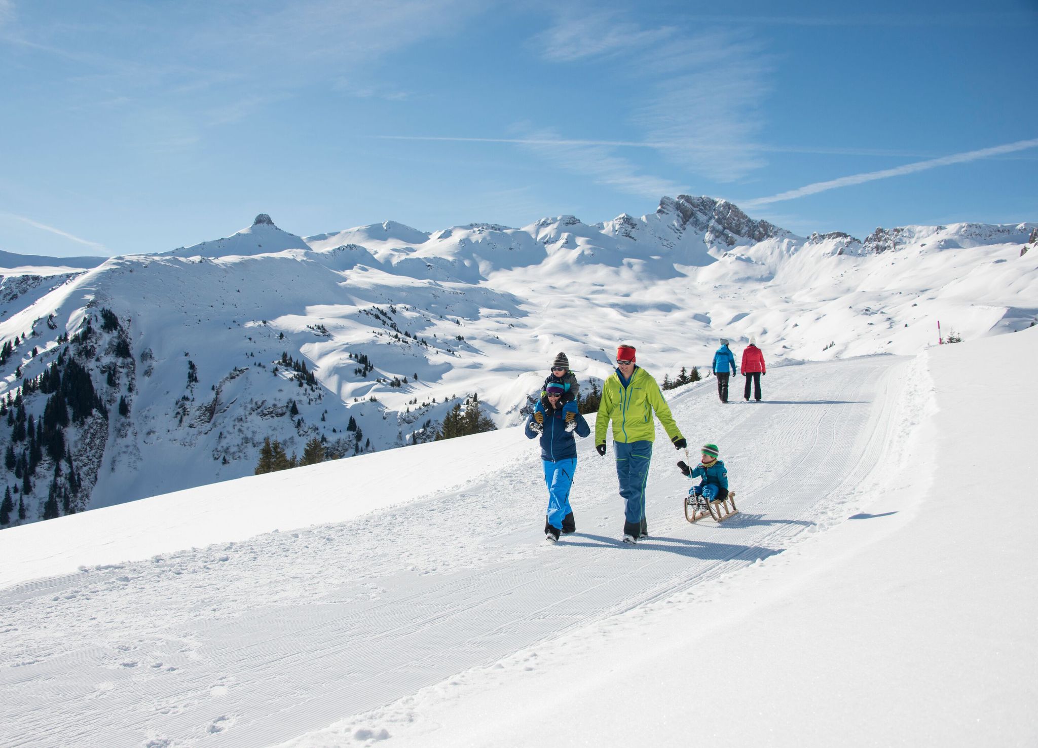
Family-friendly winter hikes in Eastern Switzerland

Sardona World Heritage Trail – Where the Alps once formed

Lake and Alps Adventure – explore 100 dreamy places in our cycling region!
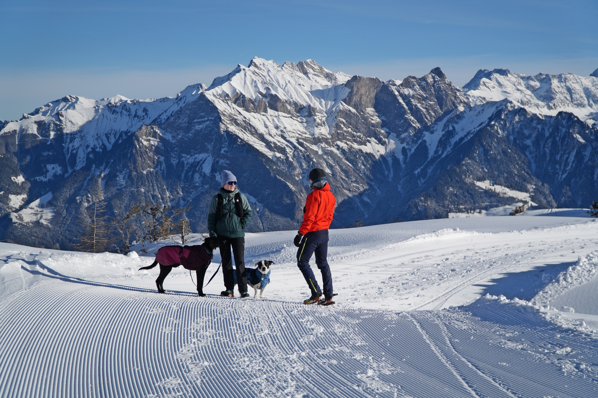
Enchanting winter hikes with dogs in Eastern Switzerland
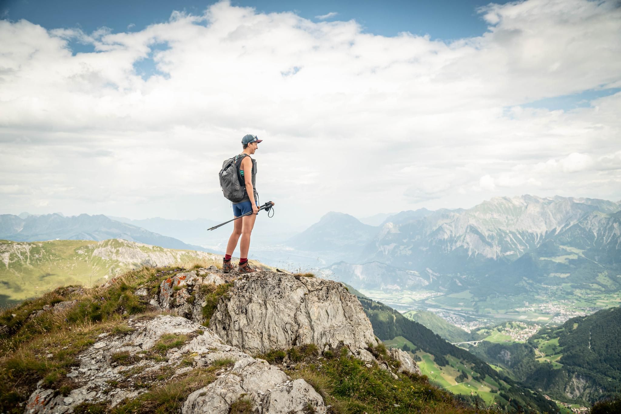
Peak bagging hikes in Heidiland
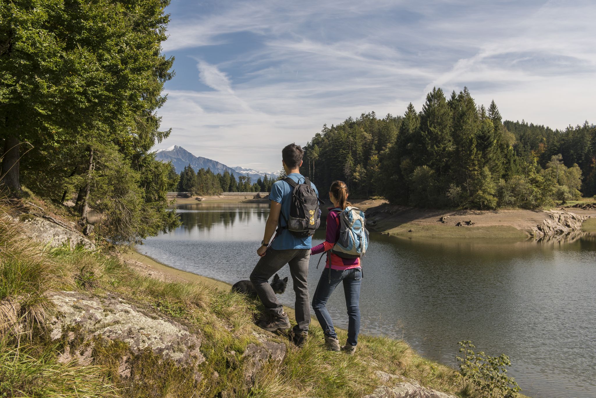
Summer in Eastern Switzerland – 10 hikes in Heidiland

Blue lakes, wide panoramas & autumnal splendour – hiking in Heidiland
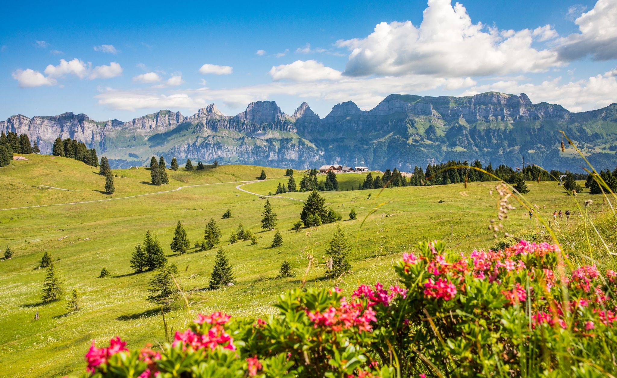
Pure Swiss mountain idyll – hikes in Heidiland
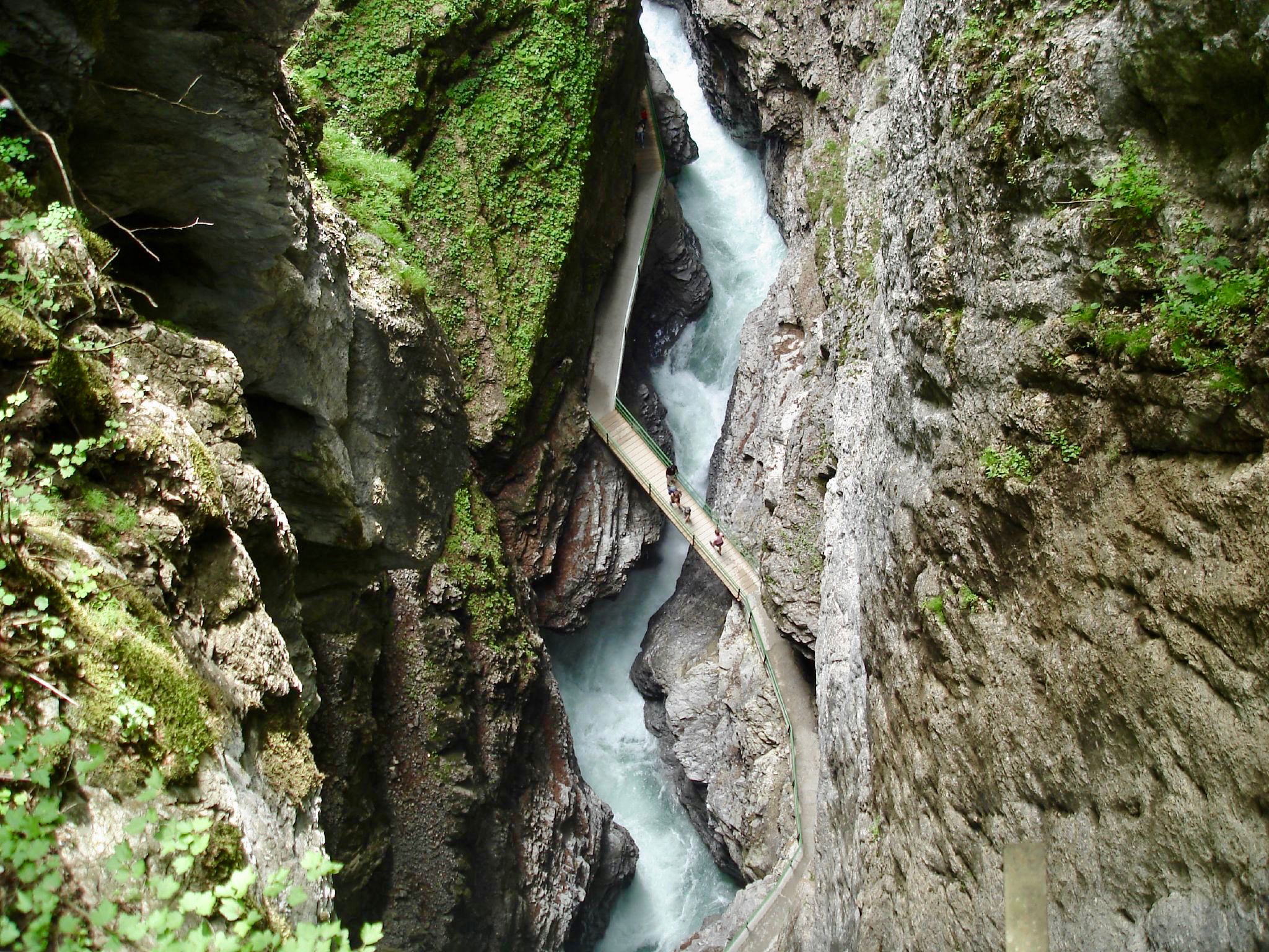
The most beautiful gorges of the Alps
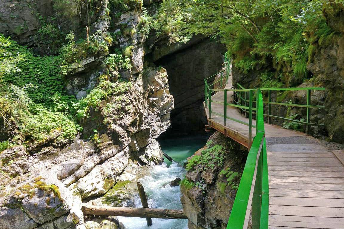
Wild gorges in southern Germany and northern Switzerland
Other adventures around Pfäfers


Tips from the Community

Jenin Reformed Church from 1745 Jenin's church, a restrained building located between the town hall and the Speaker's House, impresses with its Baroque tower and remarkable gravestones from the 17th to 19th centuries. The nave was built after a village fire in 1745. Description Restless yet prominently positioned building, located between the town hall and the Speaker's House. The slender, onion-shaped Baroque tower dominates the nave, built after a village fire in 1745. Painted corner blocks and color scheme are reminiscent of the rectory, the Salishaus, located further east. Remarkable gravestones from the 17th to 19th centuries adorn the exterior wall and the cemetery. Text / Source: Graubünden Tourism, Alexanderstrasse 24, Chur https://www.graubuenden.ch/de/ausflugsziele/kirche-jenins-0#:~:text=The%20Jenins%20church: a%20conservative%20building%20between%20the%20council,.The%20nave%20was%20built%20after%20a%20village%20fire%20in%201745.
14
0
Jenins – The Pearl of the Bündner Herrschaft Jenins, a charming wine village in the Bündner Herrschaft region, captivates with its breathtaking location and rich wine culture. As one of the highlights of wine tourism, Jenins's high-quality wines and picturesque landscape attract visitors from all over Switzerland and beyond. Text / Source: Pur Animo.ch https://puranimo.ch/jenins-buendner-weindorf-mit-weitblick/#:~:text=Jenins%2C%20ein%20charmantes%20Weindorf%20in%20der%20B%C3%BCndner%20Herrschaft%2C,aus%20der%20gesamten%20Schweiz%20und%20dar%C3%BCber%20hinaus%20an
14
0

The summit lies on the border between Liechtenstein and Switzerland, between the Graubünden municipality of Fläsch and the Liechtenstein municipality of Triesen. It is accessible via a hiking trail and lies at 2,560 m above sea level. The view from Falknis extends northward beyond Lake Constance. Source: Falknis - Wikipedia https://share.google/8XutRhc1mPOcqfBan A breathtaking 360° view awaits you on Falknis.
6
0
Pizalun 1478 m above sea level (SG / GR) The Pizalun is a viewing point with a view of the St. Gallen, Chur Rhine Valley, Prättigau, Bündner Herrschaft, Sarganserland and the Principality of Liechtenstein FL. Cantonal border between SG and GR. The viewing platform, which can be reached via a steep steel staircase.
12
0

After ordering a cabin by phone (if requested by the operator), you can climb a height of 1,197 meters in 15 minutes. Price one way: 14 CHF Dogs: 6 CHF (my little Jack Russell rode for free) Parking: right in front (free of charge) / if you want to park for several days, you can indicate this there. The license plate number will then be noted 😉
3
1

The Dreibündenstein in Graubünden is a hill at an altitude of 2,156 metres south of the city of Chur and the Furggabüel mountain, which is at an altitude of 2,174 metres. They are only separated by a 15-metre-high saddle and a distance of 500 metres. The point is not a mountain peak, but a historical place. It was the only triple border point of the former Free State of the Three Leagues. The original stone from 1722 is on display in the Rätschen Museum in Chur. The replacement stone from 1915 bears the three coats of arms of the Three Leagues. The Three Leagues included the Grey League with the judicial community of Rhäzüns, the Church League of Ortenstein Castle and the Ten Courts League of Churwalden.
4
0

Mountain hike from Brambrüesch to Dreibündenstein and on to Feldis
0
0

Be sure to reserve in advance! If you're lucky you can go without a reservation, but on the weekend that's pretty hopeless. The one-way ticket costs 12 CHF.
2
0
Frequently Asked Questions
What are some of the most impressive mountain peaks and viewpoints to explore around Pfäfers?
The region around Pfäfers offers a variety of notable peaks and viewpoints. For breathtaking 360-degree views, consider Falknis Summit, which extends northward beyond Lake Constance. Another excellent option is Pizalun Summit and Viewpoint, known for its expansive panoramas of the St. Gallen and Chur Rhine Valleys, Prättigau, Bündner Herrschaft, Sarganserland, and Liechtenstein.
Are there any historically significant elevated points near Pfäfers?
Yes, the Dreibündenstein Monument is a historically significant elevated point south of Chur. It served as the sole triple border point of the former Free State of the Three Leagues. While the original stone from 1722 is in a museum, a replacement stone from 1915 marks the spot today, bearing the three coats of arms.
Which mountain peaks offer the best panoramic views of the Pfäfers region?
For stunning panoramic views, Pizalun Summit and Viewpoint is highly recommended, offering vistas across multiple valleys and even Liechtenstein. The Älplibahn Mountain Station also provides a beautiful terrace with great views, accessible via a small mountain railway.
What kind of hiking experiences can I find near Pfäfers' mountain peaks?
The Pfäfers area offers diverse hiking experiences, from moderate tours like the Pizalun round tour to more challenging alpine ascents. You can explore various trails that lead to viewpoints, historical sites, and high-altitude summits. For more detailed routes, check out the Hiking around Pfäfers guide.
Are there challenging mountain climbs for experienced mountaineers in the Pfäfers area?
Yes, for experienced mountaineers seeking a significant challenge, the Ringelspitz (3,247 m) is the highest peak entirely within the canton of St. Gallen and involves demanding routes. Pizol (2,844 m) also offers challenging mountain routes, including an alpine ascent that passes by the Wildsee and remnants of the Pizol glacier.
Can families enjoy the mountain peaks around Pfäfers?
Absolutely. The region offers options suitable for families. The Älplibahn Mountain Station is a family-friendly highlight, providing easy access to great views via a small mountain railway. Additionally, the charming wine village of Jenins is also considered family-friendly, offering picturesque surroundings.
What unique natural features can be discovered on the mountain peaks near Pfäfers?
Near Pfäfers, the Pizol area is particularly rich in unique natural features. It's part of the UNESCO World Natural Heritage Tektonikarena Sardona and features the well-known Wildsee and remnants of the Pizol glacier, offering a fascinating landscape for nature enthusiasts and geologists.
What is the best time to visit the mountain peaks around Pfäfers?
The best time to visit largely depends on the activity. For general hiking and enjoying the views, late spring to early autumn (May to October) is ideal. The Älplibahn, for instance, typically operates from mid-May to mid-October. For more challenging alpine routes, summer months offer the most favorable conditions, while winter hiking might be possible on specific, prepared trails.
Are there opportunities for gravel biking or mountain biking near the mountain peaks of Pfäfers?
Yes, the area around Pfäfers provides excellent opportunities for both gravel biking and mountain biking. You can find various routes, including challenging loops like the Kunkels Pass or trails through vineyards. For detailed routes and guides, explore Gravel biking around Pfäfers and MTB Trails around Pfäfers.
What do visitors enjoy most about the mountain peaks and elevated points near Pfäfers?
Visitors consistently praise the magnificent panoramas and breathtaking 360° views from various summits like Falknis and Pizalun. The accessibility of rewarding vistas, even via steel staircases, is also appreciated. Many enjoy the combination of natural beauty with historical significance, such as at the Dreibündenstein, and the friendly atmosphere found at places like the Älplibahn Mountain Station.
How accessible are the mountain peaks around Pfäfers by public transport or car?
Accessibility varies by peak. Some areas, like the starting points for hikes to Pizalun or Falknis, may require a combination of public transport and a final stretch by foot or car. For the Älplibahn Mountain Station, it's important to reserve your trip in advance, as the small mountain railway is run entirely on a voluntary basis and can be very popular, especially on weekends.
Most popular routes around Pfäfers
Most popular attractions around Pfäfers

Get inspired with the komoot mobile app


Explore more
See even more amazing summits around Pfäfers with these guides:
