Top 14 Mountain Passes around La Losa
Best mountain passes around La Losa are situated in the province of Segovia, offering access to the Sierra de Guadarrama range. This region provides opportunities for outdoor activities and features natural beauty. The passes connect various towns and offer diverse terrain for exploration.
Best mountain passes around La Losa
- The most popular mountain pass is Navacerrada Pass, a mountain pass that is a popular cycling route, with a length of about 18 kilometers. Its road has historical significance, with…
Last updated: July 29, 2026
Navacerrada Pass
Highlight • Mountain Pass
Translated by Google •
Tip by

Alto del León
Highlight • Mountain Pass
Translated by Google •
Tip by

Sign up now to discover places like this
Get recommendations on the best single tracks, peaks, & plenty of other exciting outdoor places.
Sign up for free
King's Pass
Highlight • Mountain Pass
Translated by Google •
Tip by

Las Siete Revueltas
Highlight • Mountain Pass
This section consists of seven hairpin bends, one after the other, …
Translated by Google •
Tip by

Collado Ventoso
Highlight • Mountain Pass
Translated by Google •
Tip by

Sign up for free to discover even more mountain passes around La Losa.
Sign up for free
Already have an account?
Start today with a free account
Your next adventure awaits.
Login or Signup

Tips from the Community

Beautiful trail that leaves Alto del León and descends to the Arcipreste or de los Lomitos path.
0
0

It's a classic climb in the Vuelta a España and in cyclotourism events like the Perico Delgado ride. The switchbacks section is very demanding: The first 4 km are gentle (2-3%). From the Puente de la Cantina (Cantina Bridge), ramps of 6-7% begin. Between km 6 and 8 are the five tightest bends, almost linked together, in a wooded area. The final kilometer has a steep ramp before reaching the summit.
1
0
They are located on the Segovia side of the Navacerrada Pass, on the CL-601 road (formerly the N-601), which connects La Granja de San Ildefonso with the pass. Approximate altitude: between 1,400 m and 1,700 m. There are seven hairpin bends that traverse the foothills of the Sierra de Guadarrama mountain range. Total length of the pass on this side: 13.6 km, with a 669 m elevation gain and an average gradient of 4.9%. The steepest ramps are in the switchbacks, with gradients of 6-8% and occasional sections reaching 9%. Summit at the Navacerrada Pass (1,856 m).
1
0

The Siete Revueltas are one of the most iconic sections of the road that ascends to the Navacerrada Pass. This section consists of seven hairpin bends, one after the other, marking the final and toughest part of the climb from the Segovia side.
0
0


It is halfway up the climb to La Peñota, so it is a good point to stop on days without a storm. On stormy days it may be too exposed to the wind to make a stop at this hill.
0
0

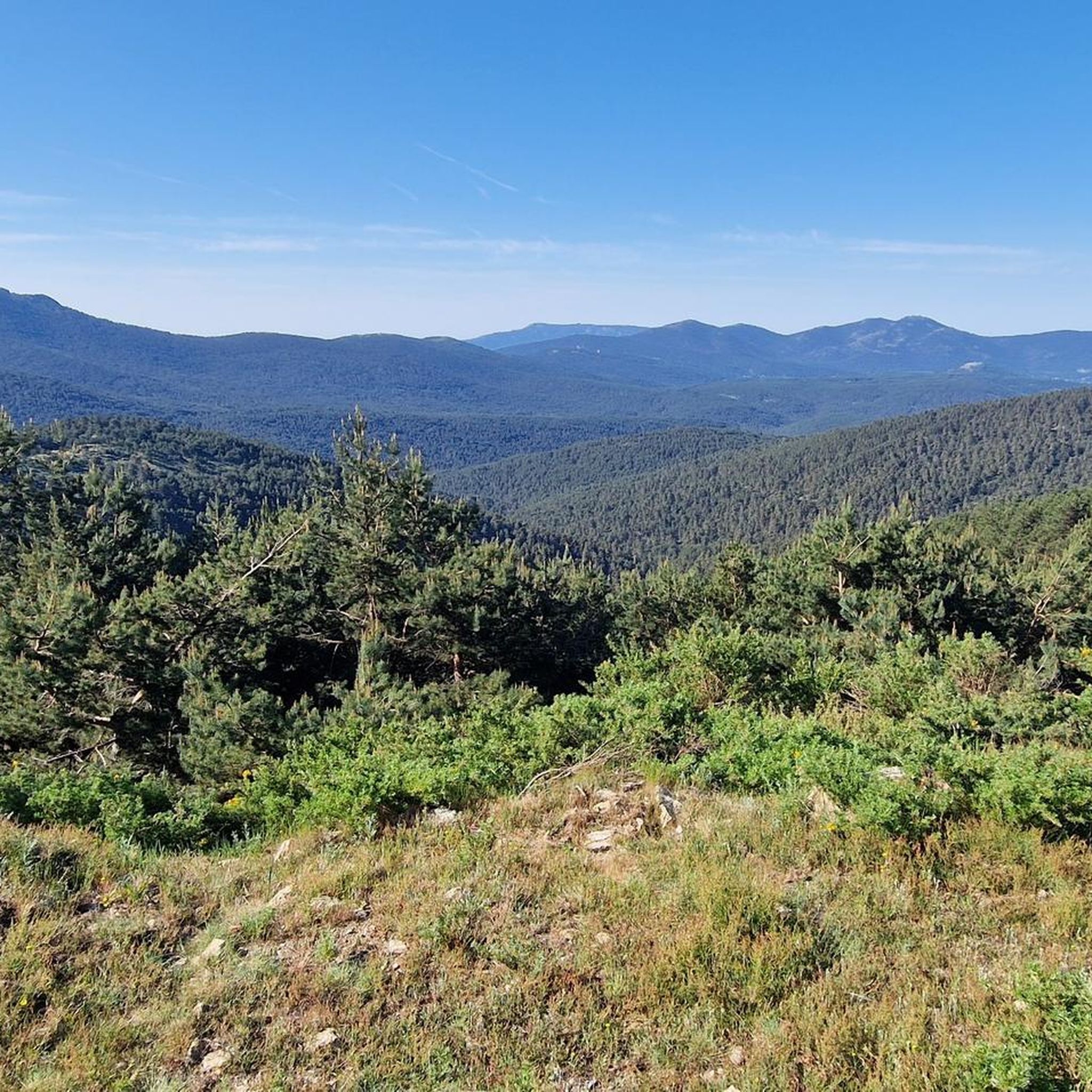
The landscapes and the air you breathe here are incredible.
1
0

Pass at the Madrid - Segovia road connection. Possibility of catering, a lot of parking places, starting point for some hikes. On the north side a very nicely wooded valley almost down to Segovia.
1
0
Frequently Asked Questions
What are some of the most notable mountain passes near La Losa?
The region around La Losa, situated in the province of Segovia, offers access to several significant mountain passes within the Sierra de Guadarrama. Beyond those mentioned in the introduction, you can explore Puerto de Cotos, known for its hiking routes and winter sports access, and Puerto de la Morcuera, a classic route for road cycling and hiking with panoramic views. Puerto de Canencia is also valued for its tranquil landscapes and rich environment.
Are there mountain passes suitable for families around La Losa?
Yes, several passes offer family-friendly options. Navacerrada Pass is marked as family-friendly and provides access to various activities. Puerto de Cotos features an easy trail to the Laguna Grande de Peñalara, making it suitable for families. Additionally, Puerto de Canencia offers the Ruta de la Cascada de Canencia, an easy and charming trail to a waterfall.
What kind of natural features and viewpoints can I expect to see at these mountain passes?
The mountain passes around La Losa boast diverse natural beauty. From King's Pass, you can enjoy splendid views of the Cercedilla valley and the Madrid region. Puerto de Cotos offers access to the stunning Laguna Grande de Peñalara. Puerto de la Morcuera provides panoramic vistas stretching across the Madrid plain and majestic peaks like Cabezas de Hierro. Puerto de Canencia is surrounded by pine forests and features the Mirador de la Chorrera with views of the Canencia valley, especially vibrant in autumn.
What outdoor activities can I do near these mountain passes?
The area is excellent for various outdoor activities. You can find numerous hiking routes, including challenging climbs to peaks like Bola del Mundo from Puerto de Cotos or Puerto de Navacerrada. For mountain biking, passes like Puerto de Linera are popular, and you can explore many MTB trails around La Losa. Road cyclists frequently tackle routes like Puerto de la Morcuera, and there are many road cycling routes around La Losa. For hikers, there are also dedicated mountain hikes around La Losa.
Do any of the mountain passes have historical significance?
Yes, several passes are rich in history. Alto del León (also known as Puerto de Guadarrama) has been an important communication route since Roman times and features remnants of Spanish Civil War bunkers and trenches. Puerto de Cotos has historical significance with its name originating from small stone posts that marked the path through snow. Puerto de Linera is mentioned in 14th-century hunting records by Alfonso XI, adding to its historical interest.
What is the best time of year to visit the mountain passes around La Losa?
The best time to visit depends on your preferred activities. Spring and autumn offer pleasant temperatures for hiking and cycling, with autumn being particularly beautiful in areas like Puerto de Canencia due to vibrant foliage. Winter transforms the higher passes like Puerto de Cotos and Bola del Mundo into destinations for snow sports and challenging winter hikes, though conditions can be demanding due to ice and snow.
Are there any easy mountain passes for beginners or casual visitors?
For those seeking easier experiences, Puerto de Canencia is a lower pass known for its tranquil atmosphere and the family-friendly Ruta de la Cascada de Canencia. Puerto de Cotos also offers an easy trail to the Laguna Grande de Peñalara. These provide a gentler introduction to the region's natural beauty without requiring extensive physical exertion.
What do visitors enjoy most about the mountain passes in this region?
Visitors frequently appreciate the stunning natural environment, the diverse range of outdoor activities, and the historical significance of the passes. For instance, the Navacerrada Pass is popular for cycling, with its long and progressive climb. The Alto del León is valued for its history, botanical curiosities, and good panoramic views, often serving as a starting point for hikes. The scenic beauty and the opportunity for tranquil escapes into nature are consistently highlighted.
Can I find amenities like cafes or restaurants near the mountain passes?
Yes, some passes offer amenities. Alto del León has a restaurant famous for its barbecues. Navacerrada Pass also has facilities, including a cafe. Puerto de Cotos features a recreational area and a refuge. For other passes, it's advisable to check nearby towns like Miraflores de la Sierra or Rascafría for dining options.
Are there any challenging sections for cyclists or hikers?
Absolutely. The climb to Bola del Mundo (Alto de las Guarramillas) from Puerto de Navacerrada or Puerto de Cotos is described as very steep and challenging. For cyclists, Puerto de la Morcuera is a classic and iconic route, often included in the Vuelta a España. The section known as Las Siete Revueltas on the way up to Navacerrada Pass from the Segovia side consists of seven hairpin bends, marking a tough part of the climb with gradients reaching 9%.
How accessible are these mountain passes by car or public transport?
Many of the passes are accessible by car, with parking often available, especially at popular spots like Alto del León and Puerto de Cotos. Public transport options may vary; some passes, like Puerto de Cotos, are well-known meeting points in the Sierra de Guadarrama, suggesting some level of accessibility. For specific routes and public transport details, it's recommended to check local transport information for the towns connected by the passes.
What makes Marichiva Pass a unique destination?
Marichiva Pass is a traditional pass located between the Fuenfría and Espinar valleys. It's marked by the red and white chevrons of the GR-10 long-distance trail on the popular Calle Alta forest track, following the route of the old Vereda del Infante. It's particularly popular among mountain biking enthusiasts for its picturesque setting and challenging terrain, reaching a height of about 1750 meters.
Most popular routes around La Losa
Most popular attractions around La Losa

Get inspired with the komoot mobile app


Explore more
See even more epic mountain passes by checking out these guides around La Losa:
