Top 7 Mountain Passes around Mosqueruela
Best mountain passes around Mosqueruela are situated within the Sierra de Gúdar mountain range, offering elevated points and scenic routes. This region in Teruel features a mountainous landscape, traditional dry-stone architecture, and historic sites. Mosqueruela itself is a historic-artistic site with well-preserved medieval walls and Gothic-Baroque architecture. The area provides opportunities for outdoor activities such as cycling and hiking.
Best mountain passes around Mosqueruela
- The most popular mountain pass is Puertomingalvo Pass, a mountain pass known for its 12…
Last updated: May 20, 2026
Puertomingalvo Pass
Highlight • Mountain Pass
Translated by Google •
Tip by

Xodos / Chodos Pass (Atzeneta Side)
Highlight (Segment) • Mountain Pass
The port that goes up to Xodos/Chodos is one of the great colossi of the province of Castellón, with its more than 16 kilometers in length and almost 700 …
Translated by Google •
Tip by
Sign up now to discover places like this
Get recommendations on the best single tracks, peaks, & plenty of other exciting outdoor places.
Sign up for free
Puerto de Valdelinares
Highlight • Mountain Pass
Translated by Google •
Tip by

Puerto de Linares
Highlight • Mountain Pass
Translated by Google •
Tip by

Puerto de Valdelinares
Highlight • Mountain Pass
Tip by

Sign up for free to discover even more mountain passes around Mosqueruela.
Sign up for free
Already have an account?
Start today with a free account
Your next adventure awaits.
Login or Signup

Tips from the Community


Aragonese ski and snowboard resort located in the Iberian System, specifically in the unique and extremely beautiful enclave of the Sierra de Gúdar, located in the province of Teruel. It is located at a distance of 70 km from the Provincial Capital. This winter center, despite being small in size, is at 2,000 m. of altitude, so its snow is highly appreciated, especially by Aragonese skiers and the Valencian community who, due to its proximity, are the ones who frequent and know it the most. Being one of the most recent ski and snowboard resorts in Spain, its facilities are modern, and all its slopes are equipped with the most modern artificial snowmaking systems. You can also practice cross-country skiing on a circular route. It offers gentle slopes and descents between forests.
0
0

Mountain pass located northeast of the town of Linares, where it winds through the Alto d'Erizosa and Cespedosa.
0
0
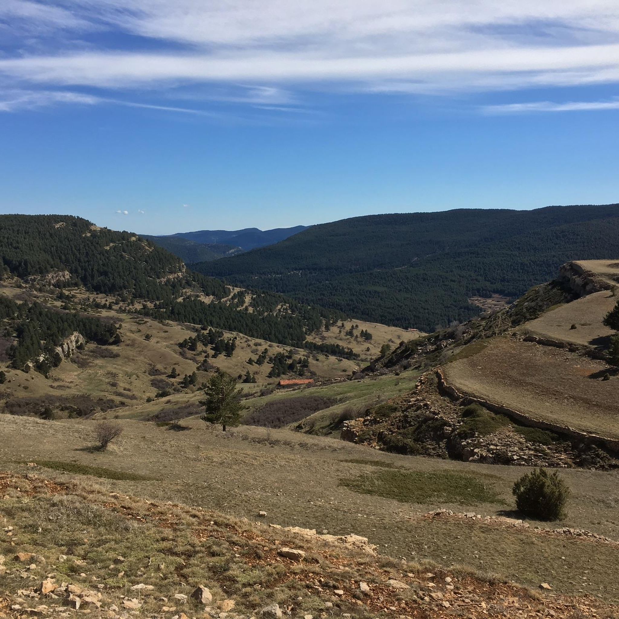
Puerto de Valdelinares is a port that reaches the top of the Sollavientos valley, a basin that reaches the town of Allepuz.
0
0

Only open in winter months but still a good place to rest nearly 2000+ meters
0
0

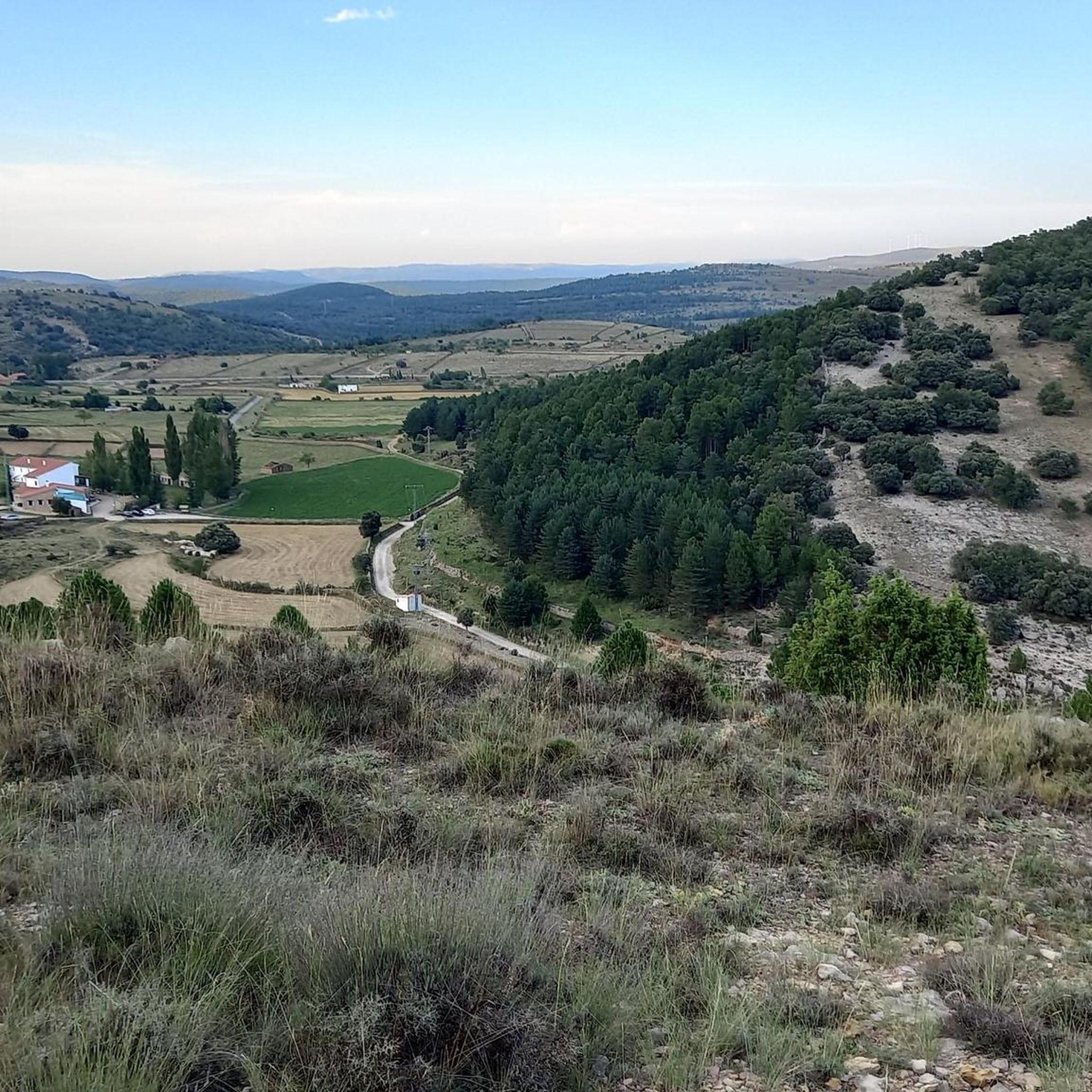
https://www.dandolotodo09.com/2021/09/puertos-xodos-chodos-por-atzeneta-apm.html The port that goes up to Xodos/Chodos is one of the great colossi of the province of Castellón, with its more than 16 kilometers in length and almost 700 meters of accumulated ascent. We have waited a long time to visit it, but the ascent was worth it. Our journey begins in the town of Atzeneta del Maestrat. Very wide asphalt road in perfect condition, a paradise for bikers who trace the curves as if they were on a circuit. Shadows there is not one. It is the port of the 5 peaks, which gives an idea of what breaks we do have during its ascent. Between peaks 2 and 3 we have 5 very constant kilometers, where the slope rarely drops below 6%. Speaking of slopes, the maximum is around 10-11% and is reached at various points in the port. Arriving at the town of Xodos, the landscape opens up and we can contemplate one of the most beautiful pictures of the province, with the town perched on a cliff and the Gegant de Pedra el Penyagolosa to its left. To reach the highest point (1,103 meters above sea level) you have to cross the town and climb almost 1 kilometer more along a narrower and somewhat rougher road. The other side of the port runs along the aforementioned road and ends at the beginning of the Port of Vistabella, which is now called Coll del Vidre on the plates.
0
0
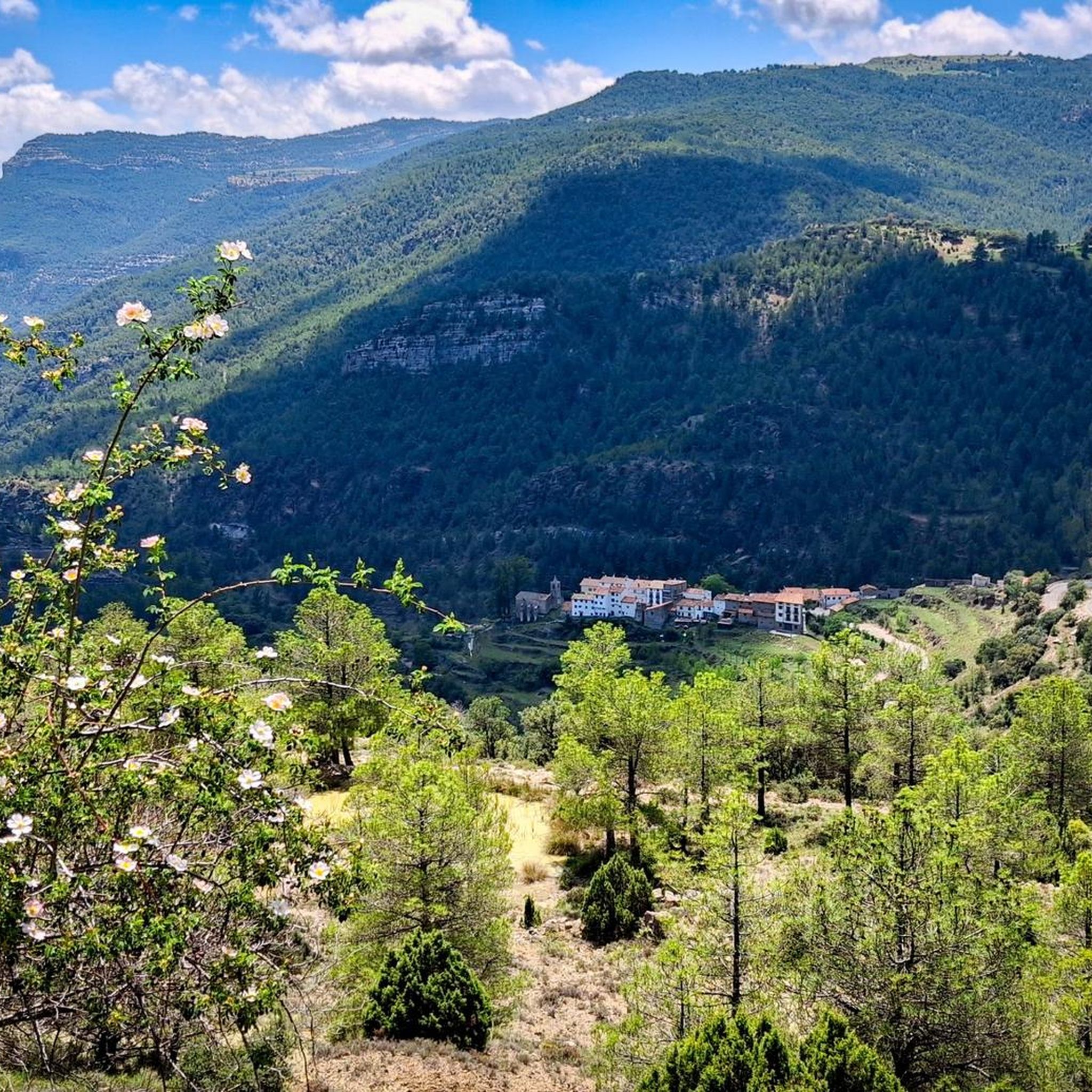
Yes, friends of Giving It All, today we present a Señor Puerto, the ascent to the mythical town of Puertomingalvo in Teruel from Villahermosa del Río in Castellón, two communities united by almost 12Km of a beautiful road that leaves no one indifferent who cycles it. As can be seen in the profile, it is an imposing pass, with good mileage and an average slope, clearly divided into 3 sections. A hard start, a more bearable central part (although not easy) and a very demanding last section The port begins just before accessing the picturesque town of Villahermosa, and in what way, the first 3.3km are very hard and constant, with an average gradient of 7.2% and several double-digit ramps... town and all its accesses by a perfectly paved road... height is gained very quickly and the town is left behind on the right hand side while good views of the port of San Bartolomé are contemplated on the left hand side; in turn, the Hermitage of Sant Antoni watches us (momentarily) from above... we may not realize it, but the wear and tear of this section may end up paying later, even if we do not anticipate events Of course, suddenly the road smooths out and we enter a small flat area. It is the only rest of the port, although it is true that it is the prelude to the smoothest section, about 4.5Km where the average will not exceed 4.7%, but beware, there are also 9% ramps, here we never stop climbing. For years this more bearable section had an added difficulty, which was the terrible state of the surface until reaching the province of Teruel, with holes and a lot of gravel. However, everything has been paved so now you can enjoy the climb more... and the descent, which we will talk about the descent later. Here the views to the left continue to improve, and you begin to notice a change in the vegetation, the pines are less and less Aleppo pines and more firs, we move away from the Mediterranean vertically, it is what it has to exceed 1000 meters above sea level... It is an area with a lot of shade, a joy. From the cyclist point of view, this section can be done at a higher speed and thus raise the average, however, we must take into account what is coming, the third section... which begins right on the border with Teruel. A green plaque and a change of asphalt for the worse (although passable) welcomes us to the most interesting part of the climb... not that the percentages are hellish, in fact the average slope of these last 3.8km is 7.1 %, but it is very constant, there are also many double-digit ramps, the accumulated wear and tear already weighs down, and any hint of shade disappears... they are not particularly hot lands, but in summer the sun is equally strong and it is something to have into account too. There is no visual reference from the top to the 1km sign to the town, it is hard to imagine the cyclists of yesteryear without GPS or hardly any references, how long it would take them The port ends not in the town but in the hermitage of Santa Bárbara, about 400 meters before Puertomingalvo, a good place to take photos and take a break before continuing the route or relax in this magical enclave. https://www.dandolotodo09.com/2018/07/puertos-puertomingalvo-por-villahermosa.html
0
0

Port at 1828m altitude. The road on the north side is in pretty bad shape.
1
0
Frequently Asked Questions
What are some challenging mountain passes for experienced cyclists in the Mosqueruela region?
For experienced cyclists seeking a challenge, the region offers several demanding passes. The Puertomingalvo Pass is known for its 12 km ascent with challenging sections and double-digit gradients. Another significant climb is the Xodos / Chodos Pass (Atzeneta Side), which spans over 16 kilometers with nearly 700 meters of accumulated ascent and maximum gradients of 10-11%.
Are there mountain passes with notable viewpoints in the Mosqueruela area?
Yes, several passes offer impressive views. The Puerto de Valdelinares, at 1828 meters altitude, provides views of the Sollavientos valley. The Puerto de Linares also serves as a viewpoint, winding through the Alto d'Erizosa and Cespedosa. Additionally, the Xodos / Chodos Pass (Atzeneta Side) offers scenic vistas, especially near the town of Xodos, with views of the Penyagolosa.
What kind of outdoor activities can I do near the mountain passes around Mosqueruela?
The mountainous landscape around Mosqueruela is ideal for various outdoor activities. You can explore numerous routes for cycling, gravel biking, and running. For cycling, consider routes like the 'Puerto de Valdelinares – Virgen de la Vega loop' mentioned in the Cycling around Mosqueruela guide. Gravel biking enthusiasts can find challenging routes such as the 'Puertomingalvo – Puertomingalvo Pass loop' in the Gravel biking around Mosqueruela guide. For running, the Running Trails around Mosqueruela guide features options like the 'Pico Peñarroya - Alto de la Gitana Loop Trail'.
Are there any easy or beginner-friendly mountain passes in the Mosqueruela region?
While many passes in the region offer significant climbs, the Puertomingalvo Pass, when approached from Mosqueruela, has a relatively gentle average gradient of 0.31% over 12.1 kilometers, making it a more accessible option for those looking for a less strenuous experience compared to its more challenging sections from other directions.
What historical or cultural aspects can I discover while visiting the mountain passes?
The region around Mosqueruela is rich in history and culture. Mosqueruela itself is a historic-artistic site, featuring well-preserved medieval walls, Gothic-Baroque architecture, and cobbled streets. The area is also known for its traditional dry-stone architecture, an Intangible World Heritage, visible in hundreds of kilometers of walls and buildings throughout the mountainous landscape. Exploring the passes often means passing through or near these historic towns and structures.
What is the highest point in the Mosqueruela region that I can visit?
The highest point in the province of Teruel, accessible in the vicinity of Mosqueruela, is Pico Peñarroya, reaching 2,023 meters above sea level. It features a stone tower at the summit, offering 360-degree panoramic views of the entire valley and the interior of Teruel, making it a rewarding destination for hikers.
Are there any mountain refuges or rest stops along longer routes in the area?
Yes, the Refugio La Chaparrilla, located in the Sierra de Gúdar near the Valdelinares ski resort, is situated at over 1,800 meters. It's a great stop for those exploring longer hiking and cycling routes like the GR 8 path and the popular 'Montañas Vacías' bikepacking route, offering a place of rest and warmth, especially with its fireplace during colder months.
What is the best time of year to visit the mountain passes around Mosqueruela?
The best time to visit largely depends on your planned activities. Spring and autumn offer pleasant temperatures for hiking and cycling, with vibrant landscapes. Summer is also suitable, though some passes can be exposed to strong sun. For winter sports enthusiasts, the higher passes like Puerto de Valdelinares, near the Valdelinares ski resort, are ideal for snow activities, with modern facilities and good snow conditions.
Can I find facilities or services near the mountain passes, such as cafes or ski resorts?
Yes, some passes are near facilities. The Puerto de Valdelinares is close to the Valdelinares ski resort, which offers modern facilities and services, including places to rest. While specific cafes directly at every pass might be limited, the nearby towns like Mosqueruela offer amenities, and mountain refuges like Refugio La Chaparrilla provide a place to stop and warm up.
What do visitors enjoy most about the mountain passes and surrounding area of Mosqueruela?
Visitors frequently appreciate the impressive scenery and the variety of routes available for different skill levels. The region's traditional dry-stone architecture and historic sites, particularly in Mosqueruela itself, add to the charm. Cyclists often highlight the challenging ascents and rewarding views, while hikers enjoy the panoramic vistas from high points like Pico Peñarroya. The sense of exploring a less-traveled, authentic mountainous landscape is a common draw.
Are there specific routes for running or trail running near the mountain passes?
Yes, the area provides excellent opportunities for running and trail running. The Running Trails around Mosqueruela guide lists several routes, including the 'Pico Peñarroya - Alto de la Gitana Loop Trail' which is a moderate 4.4 km route, and more challenging options like the 'Valdelinares Ski Resort – Peñarroya Summit Viewpoint loop' at 25 km.
What is the elevation of the Puerto de Mosqueruela?
The Puerto de Mosqueruela reaches an elevation of 1,516 meters. When approached from Mosqueruela, it's a relatively gentle ascent spanning 12.1 kilometers with an average gradient of 0.31%, offering scenic views of the mountainous landscape typical of the Maestrazgo region.
Most popular routes around Mosqueruela
Most popular attractions around Mosqueruela

Get inspired with the komoot mobile app


Explore more
See even more epic mountain passes by checking out these guides around Mosqueruela:
