Top 5 Mountain Passes around Villarroya De Los Pinares
Best mountain passes around Villarroya De Los Pinares are found in a rugged and mountainous landscape, situated at an altitude of 1,337 meters in the Sierra de Gúdar. This area offers high-altitude trails and scenic points, providing vistas and challenging terrain for exploration. The region is characterized by natural beauty and dense pine forests, making it ideal for those seeking elevated routes.
Best mountain passes around Villarroya De Los Pinares
- The most popular mountain pass is Puerto de Valdelinares,…
Last updated: May 20, 2026
Puerto de Valdelinares
Highlight • Mountain Pass
Translated by Google •
Tip by

San Cristóbal Pass
Highlight (Segment) • Mountain Pass
DISTANCE: 7.59km
GRADE: 568m
PEND MEAN: 7.48%
MPA COEFFICIENT: 155
CATEGORY: 1st cat
START ALTITUDE: 890m
MAX ALTITUDE GPS: 1458m
Translated by Google •
Tip by
Sign up now to discover places like this
Get recommendations on the best single tracks, peaks, & plenty of other exciting outdoor places.
Sign up for free
Col sign! 😁
Highlight • Mountain Pass
Translated by Google •
Tip by

Soldado Climb
Highlight (Segment) • Climb
Translated by Google •
Tip by
Start today with a free account
Your next adventure awaits.
Login or Signup
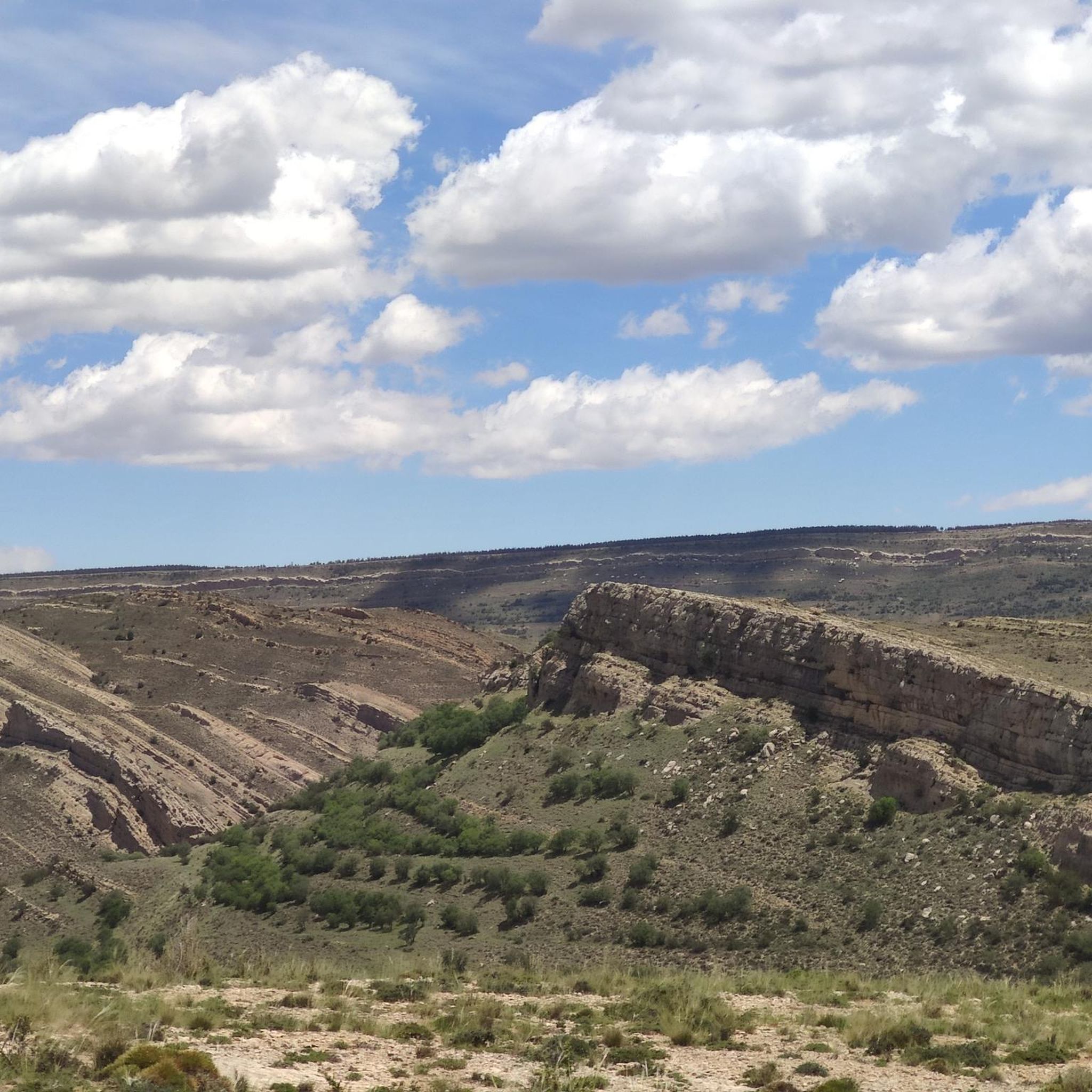
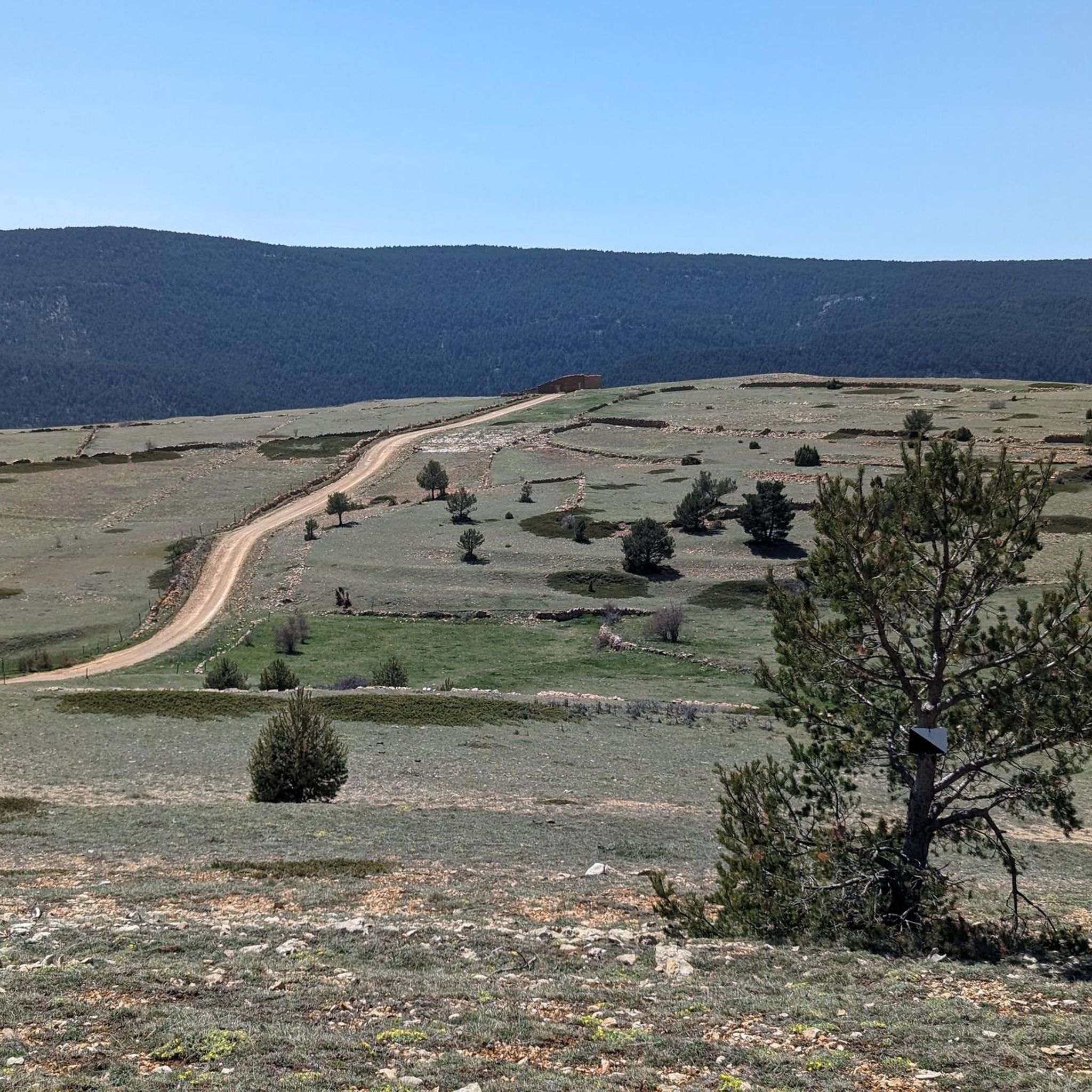
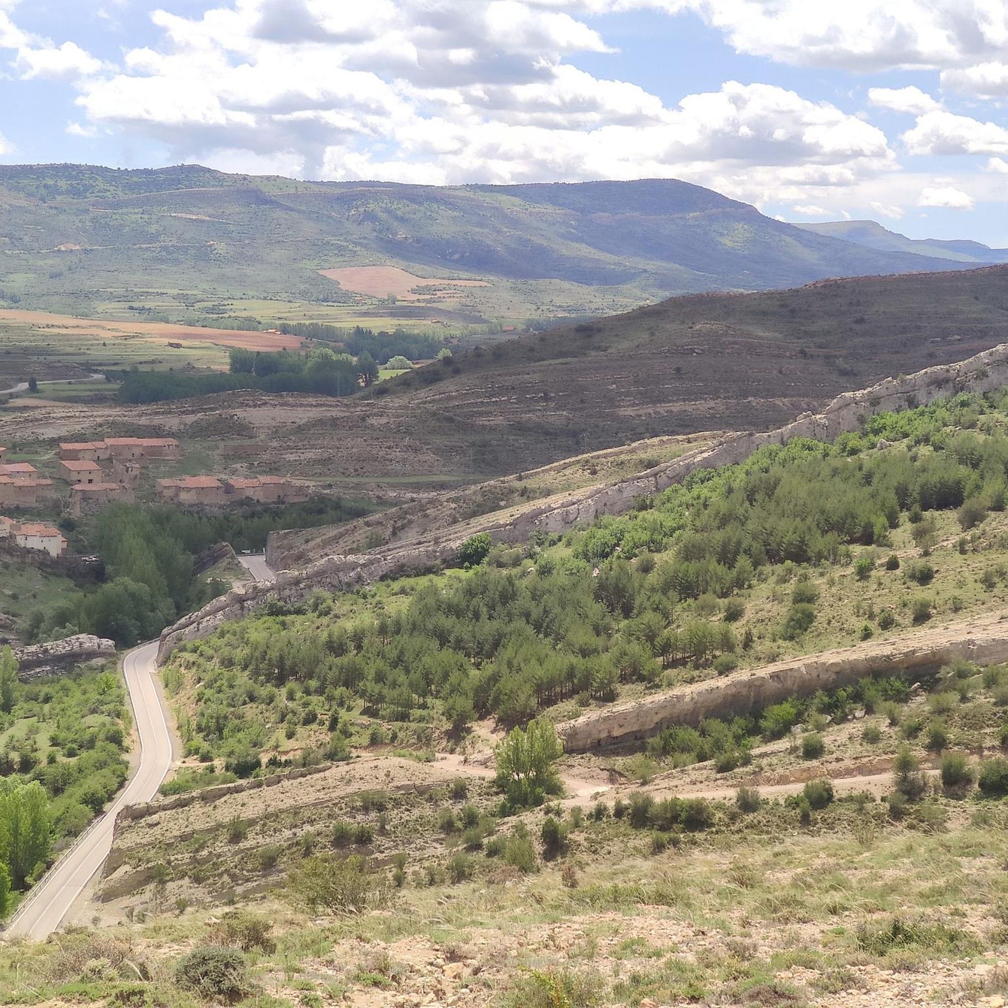

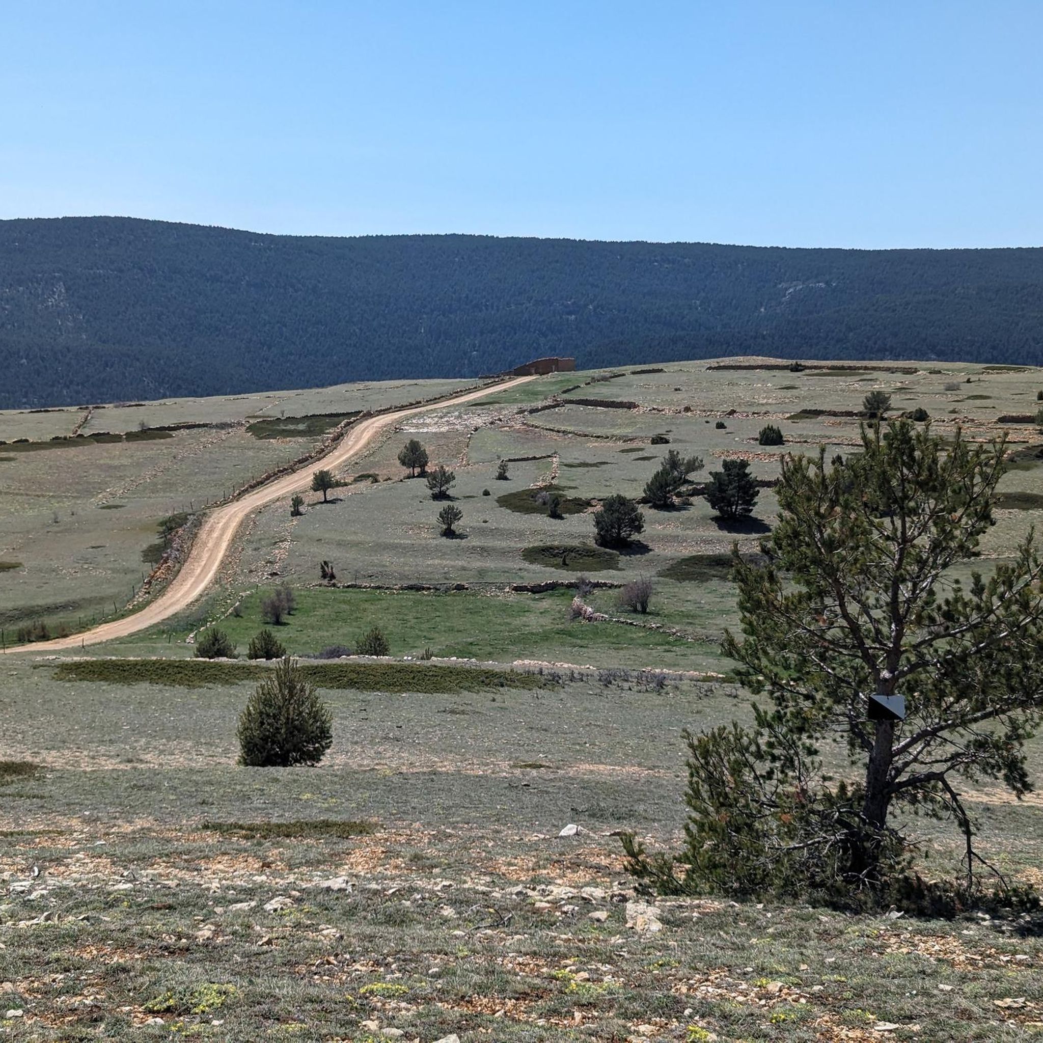
Tips from the Community

Tough climb but with beautiful hairpin bends
0
0

The port of Villarroya separates the Sierra de Gúdar. From the Villarroya viewpoint we will have magnificent views of the town of Villarroya de los Pinares.
1
0

Very hard climb but worth it. Because on the other side you can enjoy the descent from the port of San Cristobal!
0
0

This port separates the areas of the Sierra de Gúdar, where the mountains at the end of the Iberian System rise. From this pass you can see the views of the town of Villarroya de los Pinares.
0
0
Puerto de Valdelinares is a port that reaches the top of the Sollavientos valley, a basin that reaches the town of Allepuz.
0
0

Ascent towards Pitarque from Aliaga. Very demanding. A first section of slope hard but without difficulty. the second half is something else, slopes of up to 15% and a spectacular hairpin.
0
0

Good to know what you have in front of you (or is ignorance bliss?)
0
0
Perhaps the hardest port in Aragon. DISTANCE: 7.59km GRADE: 568m PEND MEAN: 7.48% MPA COEFFICIENT: 155 CATEGORY: 1st cat START ALTITUDE: 890m MAX ALTITUDE GPS: 1458m
0
0
Frequently Asked Questions
What types of mountain passes and elevated routes can I explore around Villarroya de los Pinares?
The region offers a variety of high-altitude trails and scenic points, ranging from challenging climbs to intermediate cycle ways. You'll find routes traversing dense pine forests, leading to panoramic viewpoints, and featuring significant elevation gains. While not always conventional 'passes,' these elevated areas provide similar experiences with stunning vistas and rugged terrain.
What are some of the most notable mountain passes and high points in the area?
Key highlights include Puerto de Valdelinares, reaching 1828 meters and known for its views of the Sollavientos valley. Another significant spot is San Cristóbal Pass, a challenging climb with a 568-meter elevation gain. For panoramic views of Villarroya de los Pinares, the Col sign! 😁 offers an intermediate option. Additionally, Pico Peñarroya, the highest peak in Teruel at 2,023 meters, provides ultimate 360-degree views.
How difficult are the mountain passes and elevated routes near Villarroya de los Pinares?
The difficulty varies significantly. Some routes, like the ascent to Pico Peñarroya or the San Cristóbal Pass, are considered challenging with steep grades and significant elevation gains, ideal for advanced hikers and mountain bikers. There are also intermediate options, such as the Col sign! 😁, and routes across the Sierra de La Lastra that offer a mix of terrain suitable for various skill levels.
What natural features and viewpoints can I expect to see?
You'll encounter extensive wild pine forests, rugged mountainous landscapes, and numerous viewpoints offering breathtaking panoramic vistas. From high points like Pico Peñarroya, you can enjoy 360-degree views of the entire valley and the interior of Teruel. Routes often pass by natural formations such as the 'Majada de los Baños' chasm and areas like Cueva Negra.
Are there historical or cultural sites along the mountain routes?
Yes, some routes, particularly those traversing the Sierra de La Lastra, include historical elements. For example, the PR-TE 85 itinerary passes near the Ermita del Loreto, the Masía del Peirón, and the Ermita de San Marcos, adding cultural interest to the natural landscape.
What outdoor activities can I do near these mountain passes?
The area is excellent for hiking, mountain biking, and road cycling. You can find challenging mountain biking routes leading to peaks like Pico Peñarroya, and extensive hiking trails through pine forests. For more detailed routes, explore the hiking trails, road cycling routes, and MTB trails around Villarroya de los Pinares.
Are there any family-friendly or beginner-level mountain routes?
While many routes offer challenging terrain, some sections of the Sierra de La Lastra routes, particularly those through pine forests, can be enjoyed by families or beginners looking for a less strenuous experience. It's always recommended to check specific route details for elevation and distance to ensure suitability. For example, the 'Pico Peñarroya via Maestrazgo Trail (GR 8)' is listed as an easy hiking option.
What is the best time of year to visit the mountain passes around Villarroya de los Pinares?
The region is characterized by its natural beauty and dense pine forests, making it rewarding for exploration in various seasons. Spring and autumn generally offer pleasant temperatures for hiking and cycling. Summer can be warm but provides long daylight hours, while winter may bring snow to higher elevations, offering a different kind of challenge for experienced outdoor enthusiasts.
What do visitors enjoy most about the mountain passes and elevated routes here?
Visitors particularly appreciate the immersive experience into the natural beauty, the extensive pine forests, and the tranquility and remoteness offered by the elevated points. The panoramic views from spots like Pico Peñarroya and the Col sign! 😁 are major draws, providing a sense of accomplishment and breathtaking scenery.
Are there specific routes for mountain biking?
Yes, the area is well-suited for mountain biking, with challenging routes like the ascent to Pico Peñarroya. The Sierra de La Lastra also offers routes through pine forests that are popular with mountain bikers. You can find various MTB trails around Villarroya de los Pinares, including difficult options like the 'Pico Peñarroya Loop'.
Can I find circular mountain walks in the area?
Yes, there are circular routes available. For instance, the 'Peñarroya Summit Viewpoint loop from Alto de la Gitana' is an easy hiking option, and the 'Pinares de Fortanete y ascenso a la sierra de la Lastra' is a moderate MTB circular route. Check the hiking and MTB guides for more options.
What is the highest point I can reach in the region?
The highest point you can reach is Pico Peñarroya, located within the Sierra de Gúdar, which is the highest peak in the province of Teruel, reaching an altitude of 2,023 meters. It offers a viewpoint and a tower for expansive 360-degree panoramic views.
Most popular routes around Villarroya De Los Pinares
Most popular attractions around Villarroya De Los Pinares

Get inspired with the komoot mobile app


Explore more
See even more epic mountain passes by checking out these guides around Villarroya De Los Pinares:
