Top 8 Mountain Passes around Planes
Best mountain passes around Planes are found in a region characterized by mountainous terrain and scenic landscapes, located in the province of Alicante. The area features limestone cliffs, pine forests, and views of reservoirs and terraced olive groves. This geography provides varied routes for exploration, including challenging climbs and picturesque descents. The passes often serve as natural boundaries or routes through elevated areas.
Best mountain passes around Planes
- The most popular mountain passes is Confrides Pass, a mountain_pass known…
Last updated: October 4, 2026
Confrides Pass
Highlight • Mountain Pass
This climb is category 2, with a …
Showing Translation
Tip by

View of Alt de Benicadell
Highlight • Summit
Translated by Google •
Tip by

Sign up now to discover places like this
Get recommendations on the best single tracks, peaks, & plenty of other exciting outdoor places.
Puerto de l'Orxa - Alpatro
Highlight • Mountain Pass
Translated by Google •
Tip by

Puerto de Tollos
Highlight (Segment) • Mountain Pass
Translated by Google •
Tip by
Port de Salem and Beniarrés
Highlight • Mountain Pass
Translated by Google •
Tip by
Sign up for free to discover even more mountain passes around Planes.
Already have an account?
Start today with a free account
Your next adventure awaits.

Other adventures around Planes

Tips from the Community


A beautiful, long, not-too-steep climb. Nevertheless, you gain over 800 meters in elevation. Quiet roads, hardly any traffic. Very beautiful scenery.
0
0

The Puerto de Confrides is the longest—and one of the highest—climbs in the area, stretching nearly 25 km from base to summit. It's not overly steep, with a moderate average gradient that keeps it rider-friendly, but the real challenge comes from its length. Expect a sustained ascent through pine forests, olive groves, and sweeping valley views. Pace yourself early, stay hydrated, and enjoy the gradual rhythm—this is a true endurance climb that rewards consistent effort rather than explosive power.
1
0


BEAUTIFUL ROUTE...HARD...BUT WORTH IT...BEAUTIFUL VIEWS
0
2

Some steep punches but nothing too hard. Nice small climb.
0
1

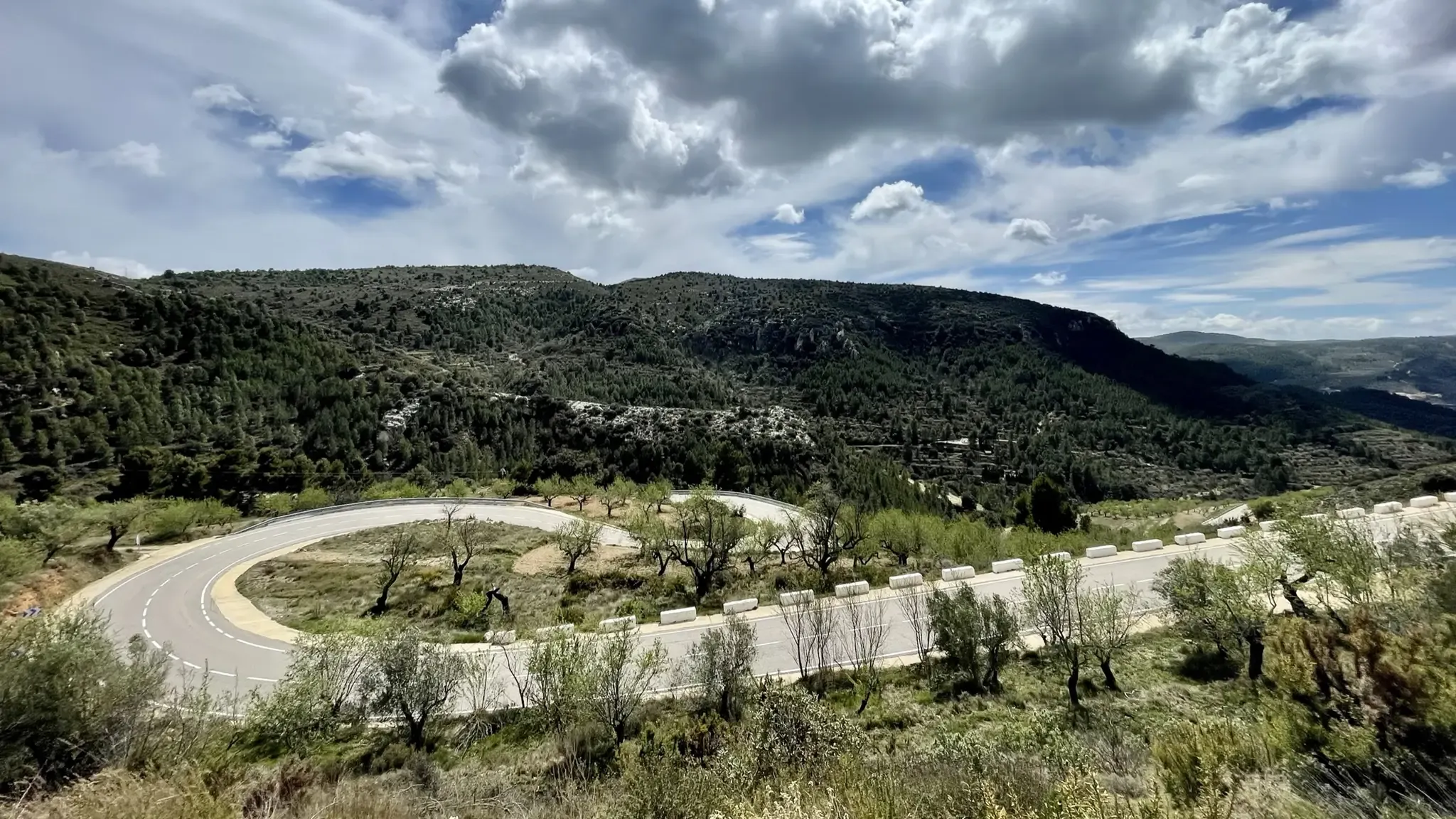
The port of Confrides is a very popular route among cyclists on the Costa Blanca, known for its stunning landscapes and challenging climbs. This climb is category 2, with a length of 9 kilometers and an average gradient of 5%. The initial altitude is 550 meters and the final altitude is 960 meters, with a total elevation gain of 410 meters. The last 1.5 kilometers are the most challenging, with an average gradient of over 7%.
6
0

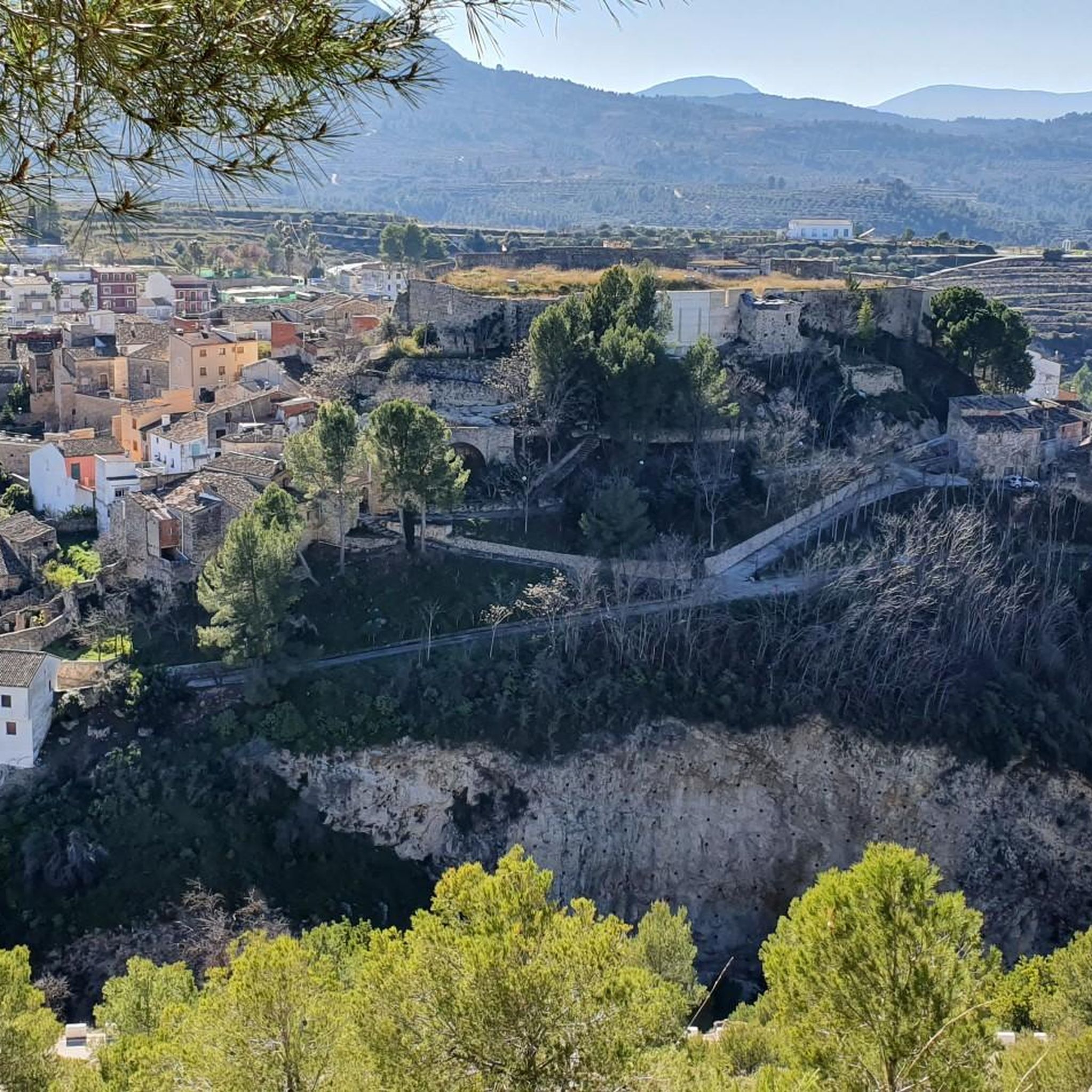
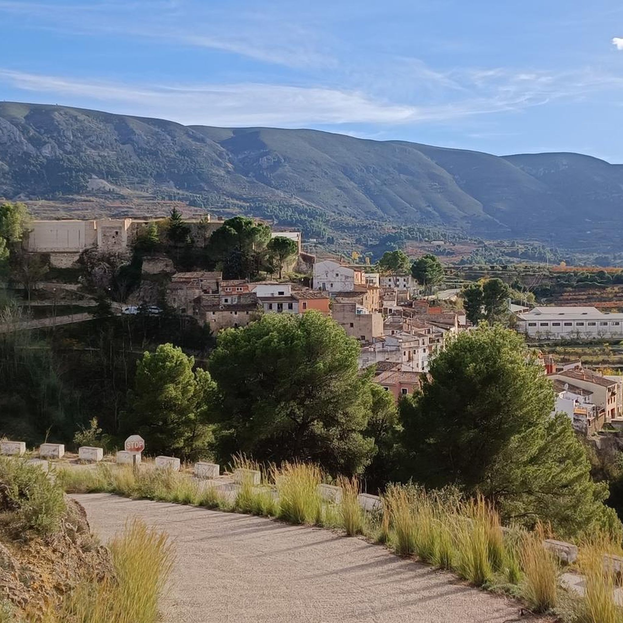
There are several points along this route from which you can admire the impressive silhouette of the Benicadell massif. The Alt de Benicadell, with a height of 1,105 metres, is a prominent peak in the Sierra de Benicadell, which forms a natural border between the provinces of Valencia and Alicante. The region around the Benicadell offers numerous opportunities for cycling tours that lead through varied landscapes with impressive views.
6
0
Frequently Asked Questions
What are some of the most popular mountain passes for cycling around Planes?
For cyclists, Confrides Pass is highly popular, known for its challenging Category 2 climb and stunning scenery. Another favorite is Puerto de Tollos, offering picturesque routes with a good surface and enjoyable journey through pine forests.
Are there any challenging mountain passes for experienced cyclists near Planes?
Yes, Puerto de l'Orxa - Alpatro is a demanding stretch with slopes over 20%, both uphill and downhill. The steep part has been newly paved, offering a challenging ride with rewarding views.
What kind of views can I expect from the mountain passes in the Planes region?
The passes offer diverse and impressive views. From Confrides Pass, you can see limestone cliffs and pine forests. The route around Alt de Benicadell provides excellent views of the Benicadell massif, the Beniarrés reservoir, and terraced olive groves. Puerto de Sa Creueta offers views of the Alfaro and Serella mountains.
Are there mountain passes with minimal traffic for a quieter experience?
Yes, Puerto de Sa Creueta (Tàrbena to Fageca Section) is noted for being a fantastically beautiful section with minimal traffic, connecting the Valle de Seta between the Alfaro and Serella mountains.
What natural features are prominent around the mountain passes in Planes?
The region is characterized by limestone cliffs, extensive pine forests, and views of reservoirs. The passes often traverse areas with significant elevation changes, offering glimpses of the diverse Mediterranean landscape, including terraced olive groves and prominent peaks like the Benicadell massif.
What outdoor activities can I do near these mountain passes?
The Planes region offers a variety of outdoor activities. You can find numerous hiking trails, such as the moderate Barranc de l'Encantà Trail or the Frencantada Viewpoint – Gorg del Salt de Planes loop. For cycling, there are challenging routes like the Font de L’Alcúdia – L'Atzúbia loop. Mountain biking enthusiasts can explore trails like the Vuelta a la Sierra de Almudaina. For more details, explore the hiking, cycling, and MTB guides around Planes.
Are there any historical or cultural points of interest near the mountain passes?
While the passes themselves are primarily natural features, the region has historical elements. For instance, near Puerto de Sa Creueta, there is an old snow cellar (nevero) at Pla de la Casa, reflecting past practices of snow collection and storage in the mountains.
What is the best time to visit the mountain passes around Planes?
The region's Mediterranean climate generally allows for pleasant visits during spring and autumn, when temperatures are milder. Summer can be hot, especially for strenuous activities, while winter offers cooler conditions. Always check local weather forecasts before heading out, as mountain weather can be unpredictable.
Are there any beginner-friendly mountain passes or routes for less experienced visitors?
While many passes offer challenging climbs, the region also provides varied routes. For example, Puerto de Tollos, with its well-maintained surface and 6% ramps, offers an enjoyable journey that can be less demanding depending on the direction of travel, making it suitable for those looking for a picturesque ride without extreme difficulty.
What do visitors enjoy most about the mountain passes in the Planes area?
Visitors frequently praise the stunning scenery, the challenging yet rewarding climbs, and the sense of tranquility found on routes with minimal traffic. The diverse landscapes, from limestone cliffs to pine forests and views of reservoirs, are often highlighted as key attractions. The komoot community has shared 16 photos and given 109 upvotes, reflecting a high level of appreciation for the area's beauty and cycling opportunities.
Are there any cafes or places to rest near the mountain passes?
While specific cafes directly on the passes are not detailed, the passes are often routes connecting villages and towns in the region. You will typically find amenities, including cafes and restaurants, in these nearby settlements, such as Benilloba or Fageca, which are accessible from the passes.
Can I find circular routes or point-to-point options for exploring the mountain passes?
Both circular and point-to-point routes are available. Many cycling and hiking tours in the region incorporate mountain passes as part of a larger loop or as a segment of a longer journey. For instance, the nearby hiking and cycling guides offer various loop options that often include or pass by these mountain features.
Most popular attractions around Planes

Get inspired with the komoot mobile app


Explore more
See even more epic mountain passes by checking out these guides around Planes:
