Top 8 Mountain Passes around Cocentaina
Best mountain passes around Cocentaina are situated in a region characterized by the Sierra de Mariola and the Serpis river. This area offers diverse terrain, making it suitable for outdoor activities such as cycling and hiking. The landscape includes various mountain passes and peaks, providing routes for different fitness levels. The natural surroundings contribute to a varied exploration experience.
Best mountain passes around Cocentaina
- The most popular mountain pass is Port de Tudons, a mountain pass that exceeds 1,000 meters in elevation. It offers an impressive descent and panoramic views of the surrounding landscape.
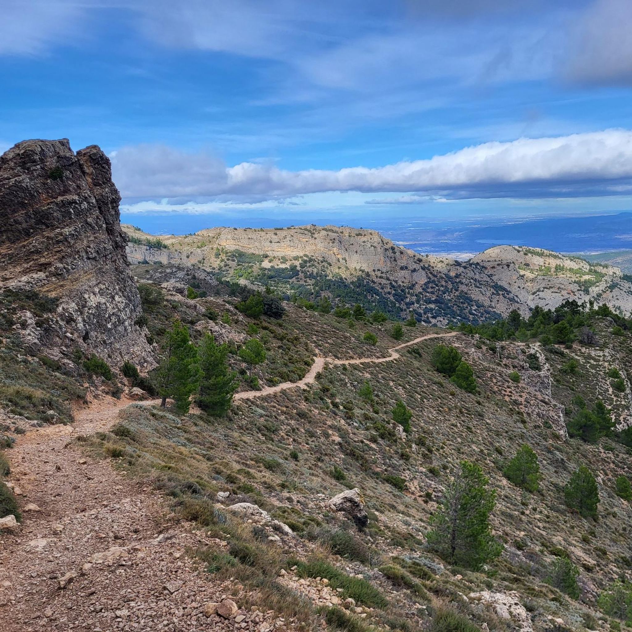
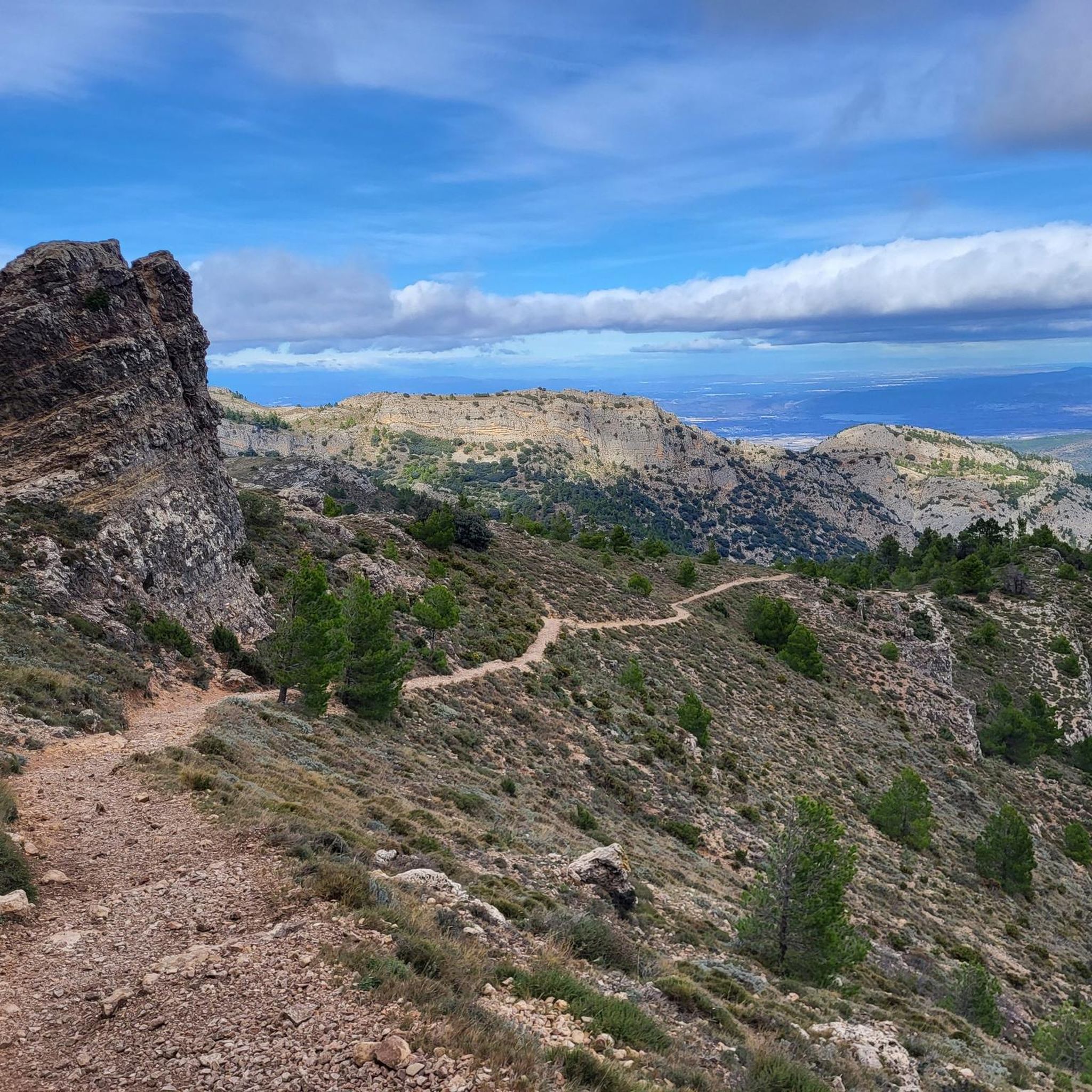
- Another must-see spot is Confrides Pass, a mountain pass known for its challenging slopes and scenic beauty. The road winds uphill in its final kilometers, revealing mountain views and limestone cliffs through pine forests.
- Visitors also love Views of Benicadell, a viewpoint offering spectacular perspectives of the Benicadell massif and a nearby reservoir. This location provides opportunities to appreciate the region's natural features.
- Cocentaina is known for mountain passes, climbs, and viewpoints. The area provides a variety of routes for both cyclists and hikers, ranging from challenging ascents to scenic descents.
- The mountain passes around Cocentaina are appreciated by the komoot community, with over 200 upvotes and more than 100 photos shared by users.
Last updated: July 28, 2026
Tudons Pass
Highlight • Mountain Pass
This pass has been part of the route of the Vuelta Ciclista a España. It is a category 1 pass.
Showing Translation
Tip by

Confrides Pass
Highlight • Mountain Pass
This climb is category 2, with a length of 9 kilometers and an average gradient of 5%. The initial altitude is 550 meters and the final altitude is 960 meters, with a total elevation gain of 410 meters. The last 1.5 kilometers are the most challenging, with an average gradient of over 7%.
Showing Translation
Tip by

Sign up now to discover places like this
Get recommendations on the best single tracks, peaks, & plenty of other exciting outdoor places.
Sign up for free
View of Alt de Benicadell
Highlight • Summit
Translated by Google •
Tip by

Climb to Port de Tudons from La Vila Joiosa
Highlight (Segment) • Mountain Pass
Showing Translation
Tip by

Benifallim Pass
Highlight • Mountain Pass
The ascent has relatively gentle averages between 3-4%, with the exception of the Amagat ravine area and also a few meters before reaching the town of Benifallim.
Translated by Google •
Tip by

Sign up for free to discover even more mountain passes around Cocentaina.
Sign up for free
Already have an account?
Start today with a free account
Your next adventure awaits.
Login or Signup

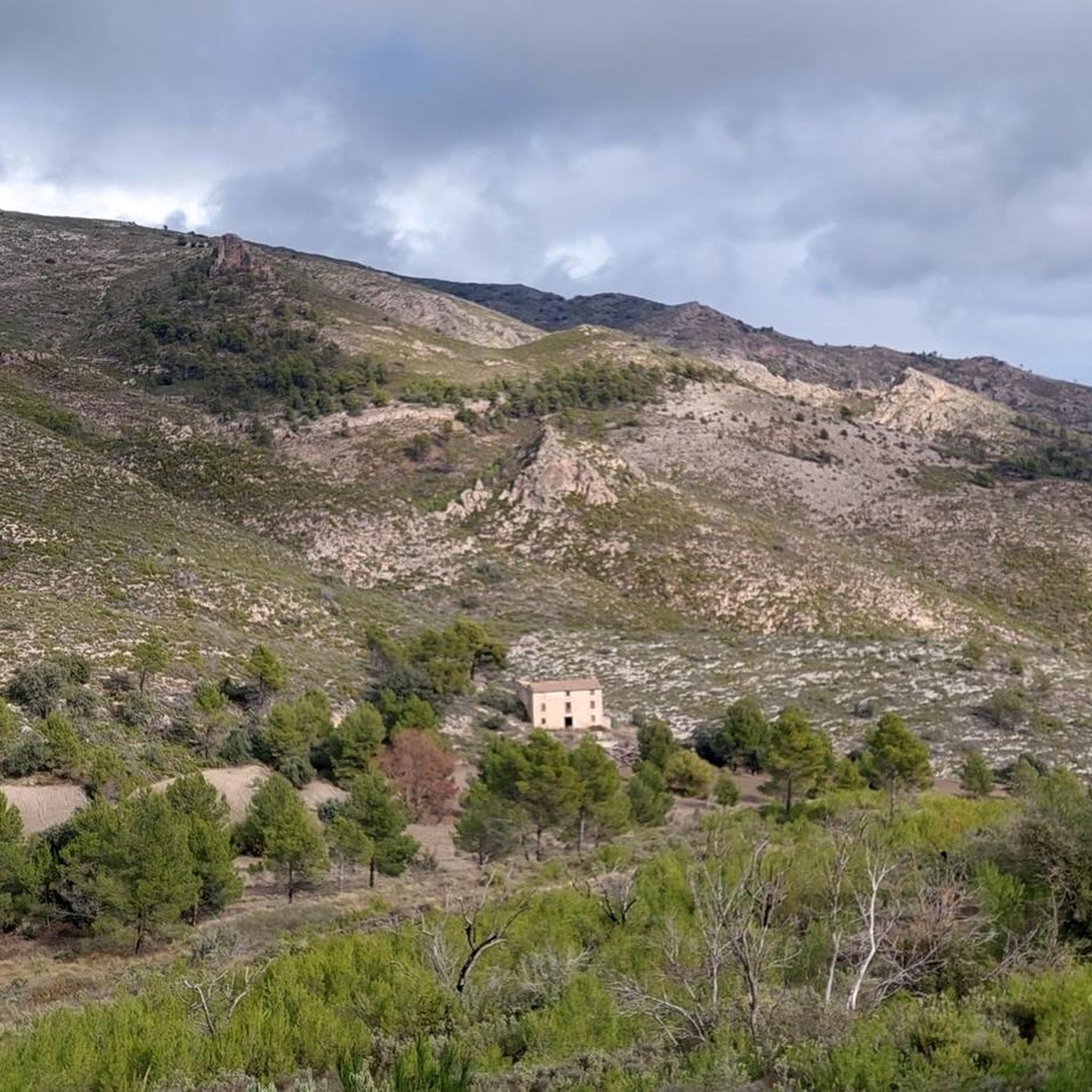
Tips from the Community

All roads lead to…
7
0

As an alternative to the direct ascent from La Vila Joiosa via Sella to Puerto de Tudons, the route via Relleu is recommended, which is significantly quieter, in my opinion more scenically varied, and allows for a somewhat more even, easily rideable ascent through the hinterland of the Costa Blanca.
1
0
The ascent from La Vila Joiosa to Puerto de Tudons initially starts relatively moderate and undulating with mostly flat to slightly rising sections, and later winds through the mountain landscape of the Serra d’Aitana. Only from Sella onwards does the route become a steady uphill climb, which continues to the pass at 1025 m. This actual ascent is around 5-6% on average, with short passages that are a bit steeper at 10%, but overall without extreme ramps. This results in a long, well-paced uphill climb from the coastal area up into the mountains of the Serra d’Aitana.
1
0

A beautiful, long, not-too-steep climb. Nevertheless, you gain over 800 meters in elevation. Quiet roads, hardly any traffic. Very beautiful scenery.
0
0

The Puerto de Confrides is the longest—and one of the highest—climbs in the area, stretching nearly 25 km from base to summit. It's not overly steep, with a moderate average gradient that keeps it rider-friendly, but the real challenge comes from its length. Expect a sustained ascent through pine forests, olive groves, and sweeping valley views. Pace yourself early, stay hydrated, and enjoy the gradual rhythm—this is a true endurance climb that rewards consistent effort rather than explosive power.
1
0

This is one of the longest climbs you can do in the area. It's 27 kilometers long, with 1,000 meters of elevation gain at a very manageable average of 3.7%, with gradients of 7.5%. Good road surface and magnificent views.
1
0

The port of Confrides is a very popular route among cyclists on the Costa Blanca, known for its stunning landscapes and challenging climbs. This climb is category 2, with a length of 9 kilometers and an average gradient of 5%. The initial altitude is 550 meters and the final altitude is 960 meters, with a total elevation gain of 410 meters. The last 1.5 kilometers are the most challenging, with an average gradient of over 7%.
6
0
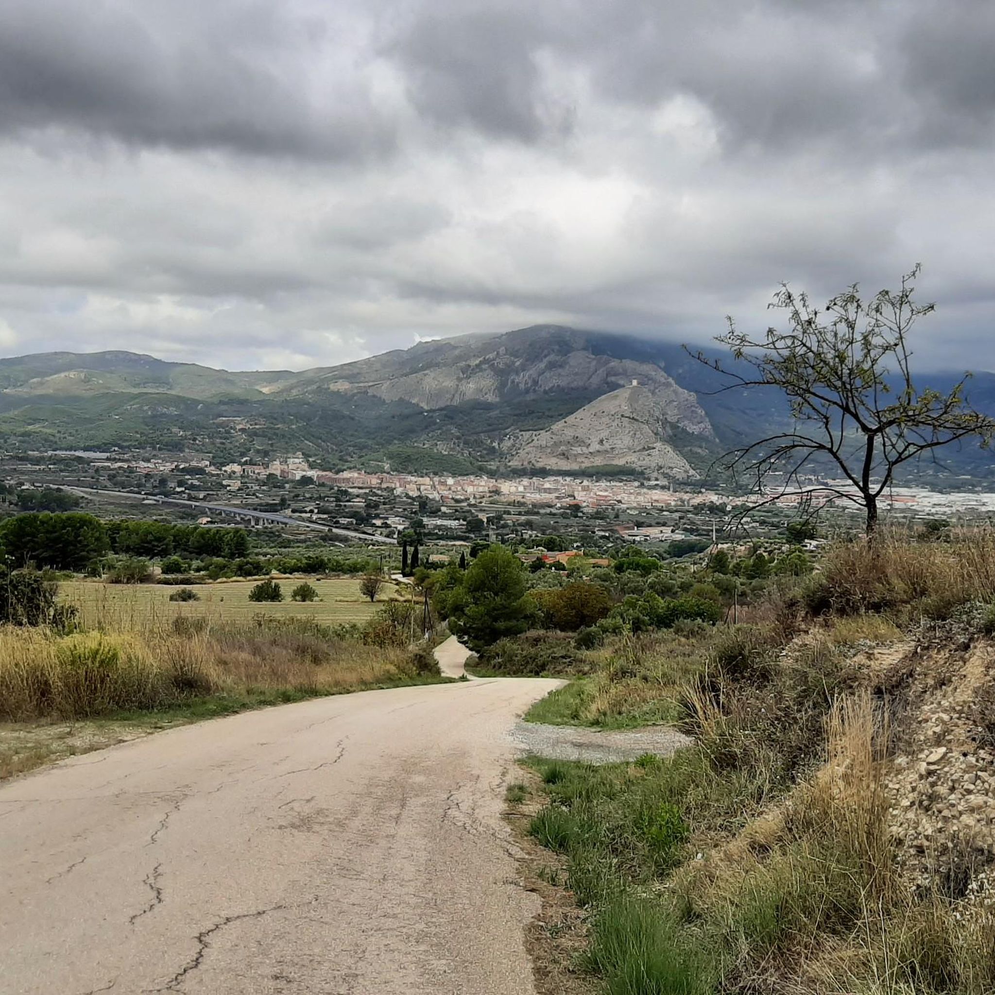
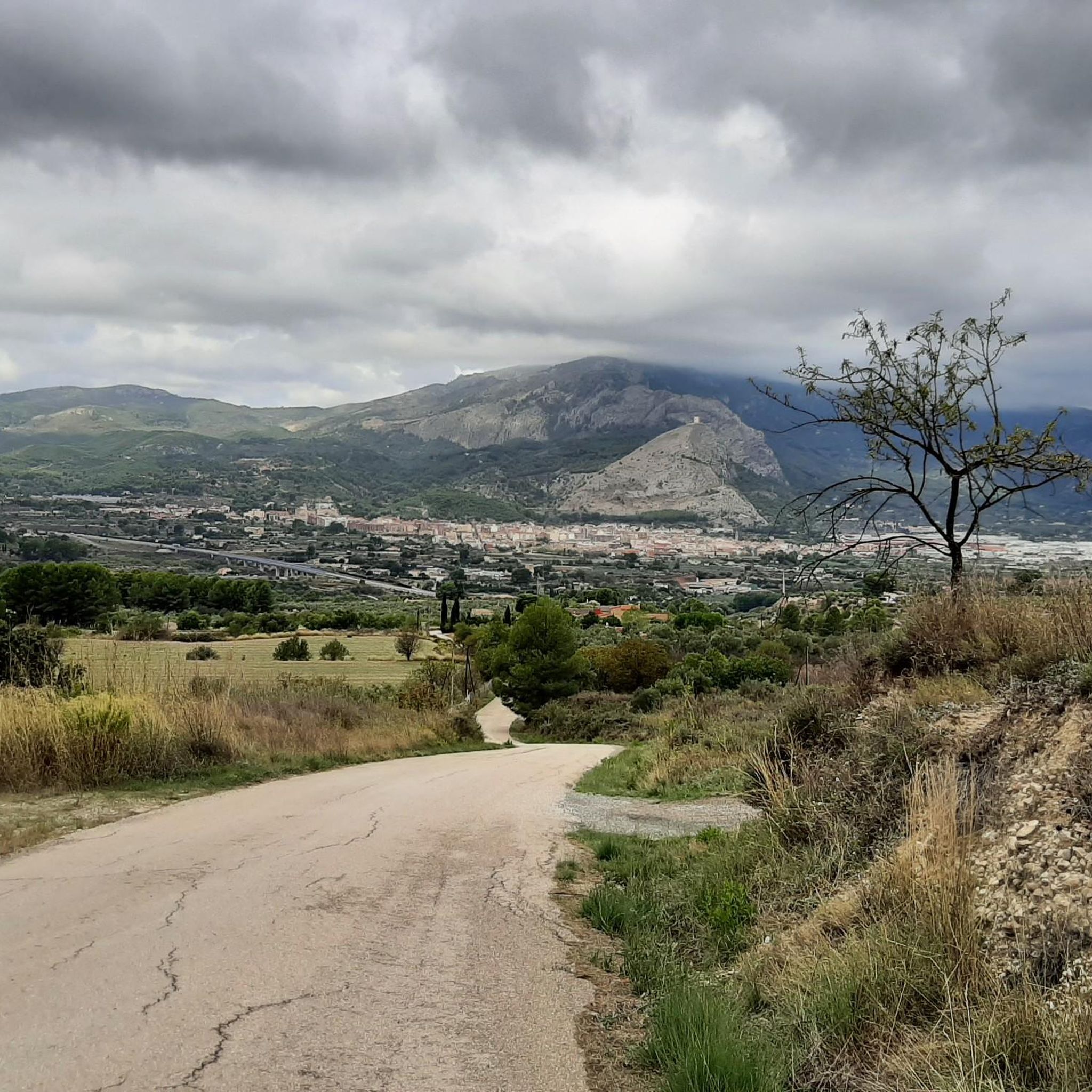
There are several points along this route from which you can admire the impressive silhouette of the Benicadell massif. The Alt de Benicadell, with a height of 1,105 metres, is a prominent peak in the Sierra de Benicadell, which forms a natural border between the provinces of Valencia and Alicante. The region around the Benicadell offers numerous opportunities for cycling tours that lead through varied landscapes with impressive views.
5
0
Frequently Asked Questions
What are some challenging mountain passes for cyclists near Cocentaina?
Cyclists looking for a challenge will find Confrides Pass particularly rewarding. It's a Category 2 climb with an average slope of 5% over 9 km, with the final 1.5 km being the steepest. Another notable climb is Port de Tudons, which exceeds 1,000 meters in elevation and offers an impressive descent.
What kind of views can I expect from the mountain passes around Cocentaina?
The mountain passes around Cocentaina offer spectacular panoramic views. From Port de Tudons, you can enjoy expansive vistas of the surrounding landscape. The Confrides Pass provides beautiful mountain views and glimpses of limestone cliffs through pine forests. Additionally, the area offers viewpoints like Views of Benicadell, which provide spectacular perspectives of the Benicadell massif and a nearby reservoir.
Are there opportunities for hiking near these mountain passes?
Yes, the region around Cocentaina, including the Sierra de Mariola Natural Park, offers numerous hiking opportunities. While specific hiking trails directly on the passes are not detailed, the mountainous surroundings provide a rich landscape for exploration. For more structured hiking routes, you can explore the MTB Trails around Cocentaina guide, which also includes paths suitable for hiking.
What is the best time to visit the mountain passes around Cocentaina?
The mountainous surroundings of Cocentaina are suitable for outdoor pursuits throughout much of the year. Spring and autumn generally offer pleasant temperatures for cycling and hiking. While specific seasonal considerations for winter hiking routes are not detailed, the region's natural beauty can be enjoyed in various seasons, depending on your activity and comfort with cooler weather.
What outdoor activities can I do near the mountain passes?
Beyond exploring the mountain passes themselves, the Cocentaina region is excellent for various outdoor activities. You can find numerous routes for road cycling, mountain biking, and general cycling. For detailed routes, check out the Road Cycling Routes around Cocentaina, Cycling around Cocentaina, and MTB Trails around Cocentaina guides.
Are there any family-friendly mountain walks or activities in the area?
The Sierra de Mariola Natural Park, which encompasses many mountainous areas around Cocentaina, offers a multitude of hiking and cycling routes with varying difficulty levels. While specific 'family-friendly' mountain passes are not highlighted, the park's extensive network of trails means there are likely easier paths suitable for families looking to explore the natural beauty and enjoy the tranquility of the mountains.
What natural features are prominent in the Cocentaina mountain pass region?
The region is characterized by diverse terrain, including the Sierra de Mariola and the Serpis river. You'll encounter stunning mountain views, limestone cliffs, and pine forests, particularly around Confrides Pass. The area also features the impressive Benicadell massif and reservoirs, visible from viewpoints like Views of Benicadell.
What do visitors enjoy most about the mountain passes around Cocentaina?
Visitors frequently praise the impressive descents and excellent panoramic views offered by passes like Port de Tudons. The challenging yet rewarding routes, stunning scenery, and the sense of accomplishment upon reaching summits like Confrides Pass are also highly valued. The komoot community has shown appreciation with over 200 upvotes and more than 100 photos shared.
Are there any specific peaks or high points worth visiting in the area?
Beyond the passes, the region boasts significant peaks. Montcabrer, the highest peak in the Serra Mariola range at 1,390 meters, offers challenging ascents and breathtaking views of the Sierra de Mariola Natural Park. Another high point is Alto del Menejador (1,350 meters) within the Carrascar de la Font Roja Natural Park, known for its incredible 360-degree views.
Can I find cafes or accommodation near the mountain passes?
While specific cafes or accommodations directly on the mountain passes are not detailed, Cocentaina itself is a hub for outdoor enthusiasts. You can expect to find amenities such as cafes, pubs, and various accommodation options in and around the town, which serves as a convenient base for exploring the surrounding mountain passes and natural parks.
What is the elevation of Port de Tudons?
Port de Tudons is a mountain pass that exceeds 1,000 meters in elevation, making it a significant climb despite its proximity to the sea.
How difficult is the Confrides Pass for cycling?
Confrides Pass is considered a Category 2 climb. It has a length of 9 km with an average gradient of 5%, and the last 1.5 km are particularly challenging with an average gradient of over 7%.
Most popular routes around Cocentaina
Most popular attractions around Cocentaina

Get inspired with the komoot mobile app


Explore more
See even more epic mountain passes by checking out these guides around Cocentaina:
