Top 20 Natural Monuments around Algodonales
Natural monuments around Algodonales are characterized by diverse landscapes, situated at the base of the Sierra de Líjar and bordering the Sierra de Grazalema Natural Park. The region features significant geological formations, river systems, and mountain peaks. These natural features provide opportunities for outdoor activities such as hiking and exploring unique ecosystems. The area is defined by its mountainous terrain, river valleys, and ancient geological structures.
Best natural monuments around Algodonales
- The most popular natural monuments is Zaframagón Viaduct,…
Last updated: November 1, 2026
Zaframagón Viaduct
Highlight • Bridge
It was built to span the Guadalporcún River crossing …
Translated by Google •
Tip by

Ruins of the Majaceite River Water Mill
Highlight • Monument
Translated by Google •
Tip by

Sign up now to discover places like this
Get recommendations on the best single tracks, peaks, & plenty of other exciting outdoor places.
El Torreón Peak
Highlight • Summit
Translated by Google •
Tip by
Tajo Algarín (Lagarín) Summit
Highlight • Summit
Translated by Google •
Tip by

Peñón de Zaframagón Nature Reserve
Highlight • Natural Monument
Translated by Google •
Tip by
Sign up for free to discover even more natural monuments around Algodonales.
Already have an account?
Start today with a free account
Your next adventure awaits.
Tips from the Community

You need a permit to do the hike. It can be found through the process on this website https://grazalemaguide.com/blog/how-to-get-a-permission-for-restricted-footpaths-in-the-sierra-de-grazalema/
0
0

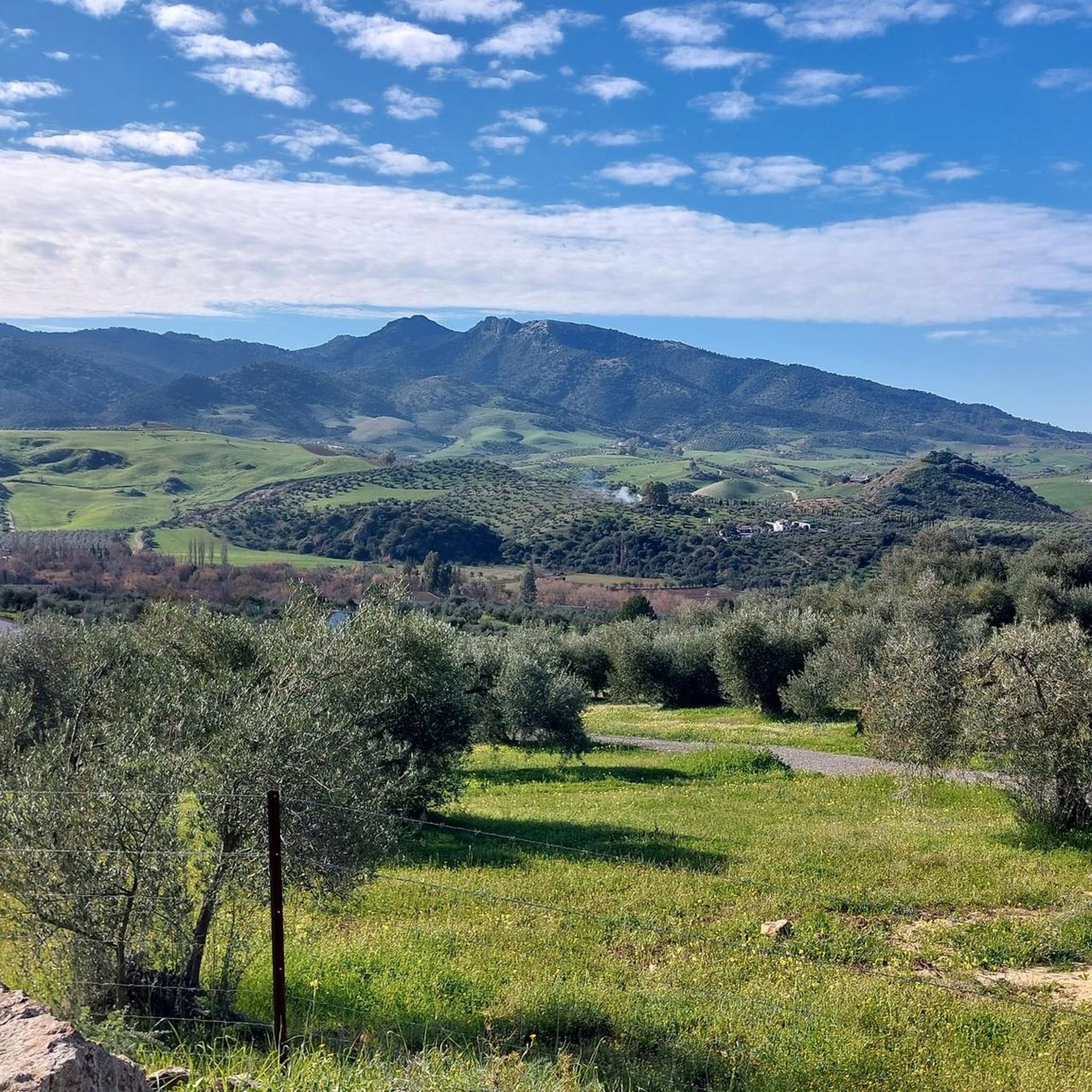
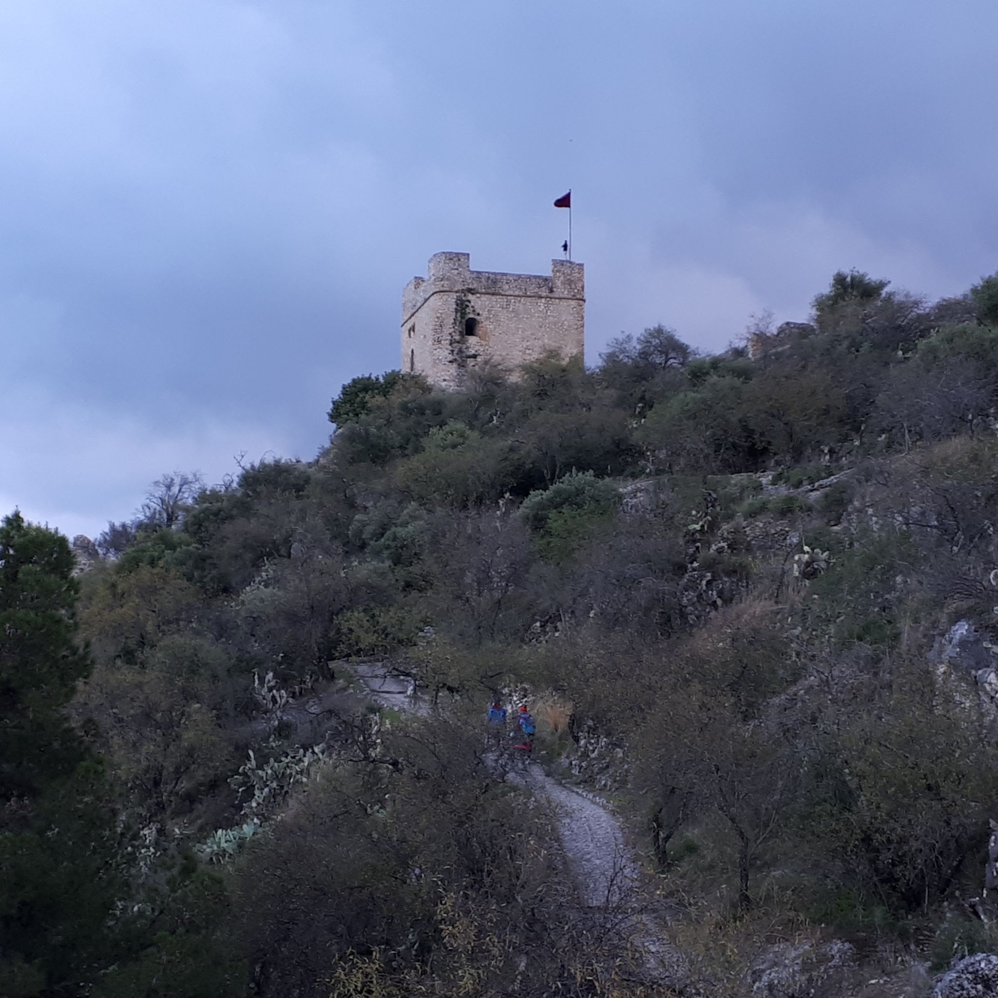
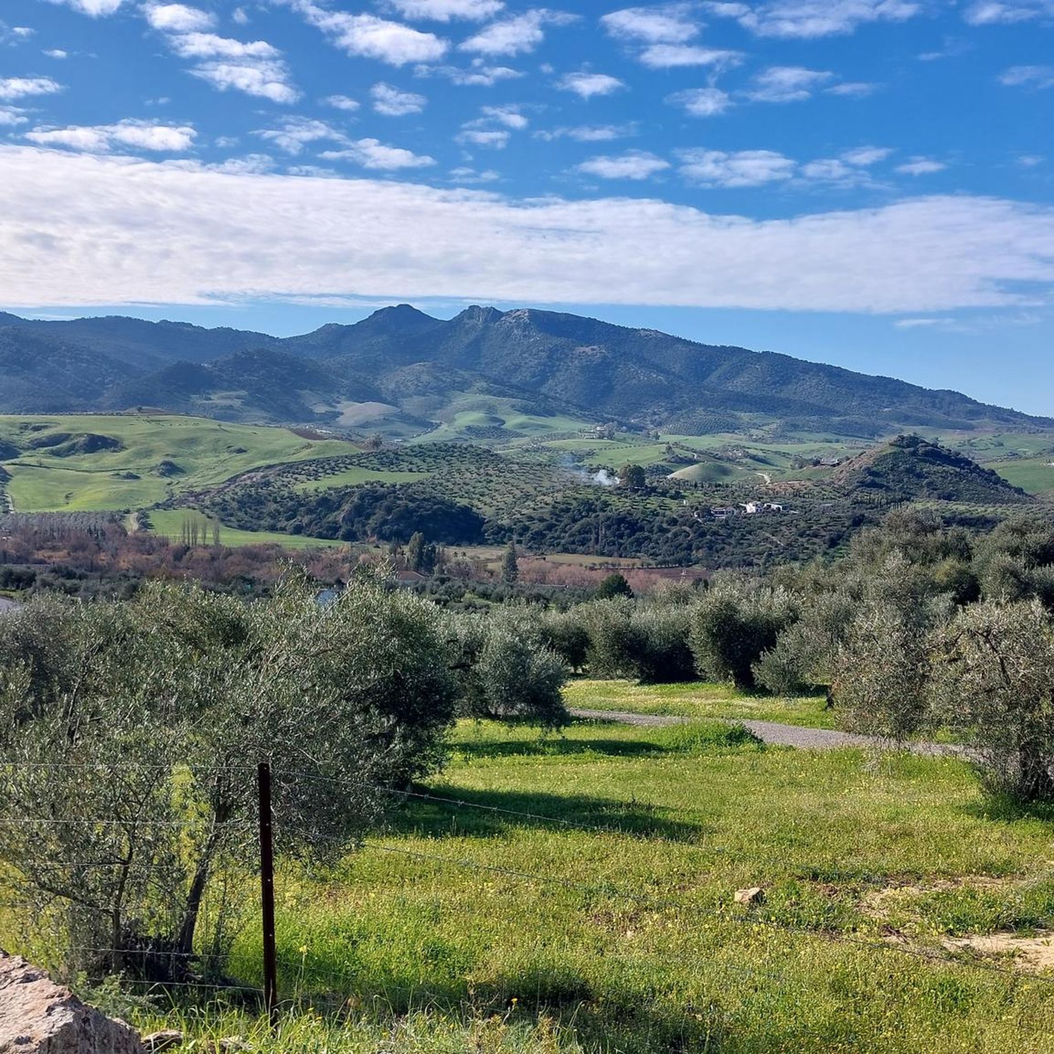
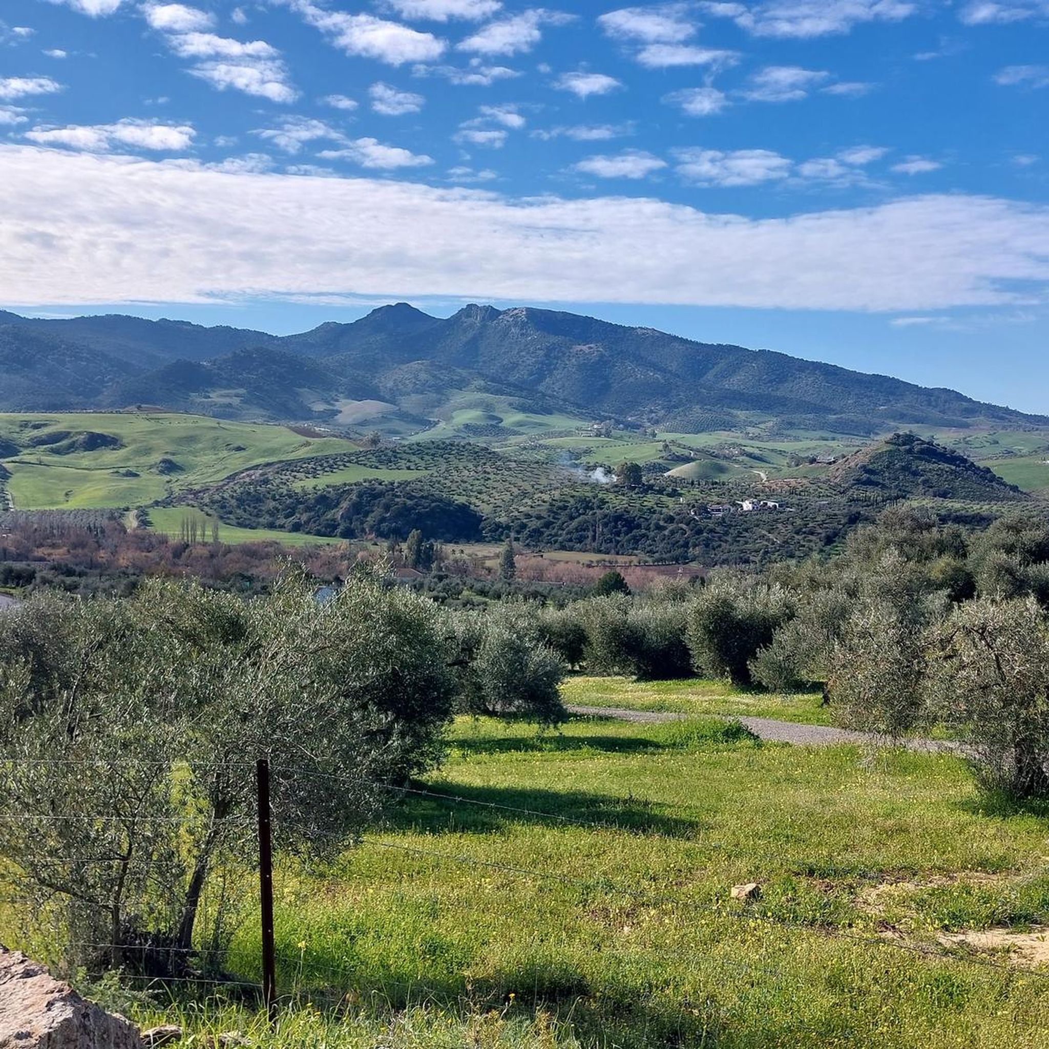
La Cima de Lagarín, also known as Cerro Algarín, is one of the highest and most spectacular points in the Sierra de Grazalema, located between the municipalities of El Gastor and Zahara de la Sierra. It is an ideal destination for hikers seeking panoramic views and unspoiled nature.
2
0

A 135-meter-long viaduct, built using rectangular truncated pyramidal pilasters with mortared ashlars, is formed by the repetition of seven identical arches. It was built to span the Guadalporcún River crossing before it meets the Guadamanil River. The latter originates in the Sierra de la Lebrona mountain range in the municipality of Pruna (Seville) and flows into the Guadalporcún River just a few meters from the viaduct. The confluence of the rivers has created a wide floodplain. From this railway infrastructure, there is a privileged view of the Estrechón Canyon, a natural passage carved by the Guadalporcún River to traverse the foothills of the Zaframagón Rock. Just below, on the left bank of the Guadalporcún, we find the ruined building of what was once the Zaframagón mill. A little further west, other ruins can be seen. It is a small town built for workers on the railway line construction site.
8
0
The Peña de Zaframagón is an impressive natural formation located in the Sierra de Grazalema, on the border of the provinces of Cádiz and Seville in Spain. This formation is one of the highest points in the region, with an altitude of 584 meters above sea level. The area is known for its sharp cliffs and the beautiful nature that surrounds it. One of the highlights of the Peña de Zaframagón is the Garganta del Estrechón, a deep gorge carved by the Guadalporcún River. Here you will also find unique landscapes such as pools, marmitas de gigante (large kettles) and small waterfalls. The area is an important nature reserve and is home to various flora and fauna, including the largest colony of fulvus in Andalusia and one of the largest in Europe.
8
0

If you're based in Ronda, White Village Tours offers bikes and transport to cycle from Olvera to Puerto Serrano. whitevillagetours.com/routes/via-verde
4
0


What a great view - 360°! The path here is steep but well maintained! Unfortunately, you can only get to the summit with a (free) permit (approx. 20 people/day) - register in advance! - . From the north, El Torreon is a steep wall, from the southwest: a real mountain path! It's worth it!
0
0

Using the power of moving water to drive a mill wheel is an ancient invention that dates back to pre-Christian times. Thanks to such a construction, human or animal muscle power could be easily replaced by a watercourse - natural or artificially created - in order to grind grain into corn, for example. There are essentially two different ways of driving watermills: Either the water simply hits the blades of the water wheel from below to set it in motion; or the water is guided above the wheel and falls onto the blades; this type of construction is more efficient due to natural gravity.
1
0
Frequently Asked Questions
What unique natural monuments can I explore around Algodonales?
Algodonales offers a diverse range of natural monuments. You can visit the Zaframagón Viaduct, which provides stunning views of the Estrechón Canyon and Zaframagón Rock. Another unique spot is the Ruins of the Majaceite River Water Mill, nestled by small waterfalls. For panoramic vistas, consider the challenging ascent to El Torreón Peak, the highest point in Cádiz province.
Are there any natural monuments with historical significance near Algodonales?
Yes, the region has several sites with historical value. The Ruins of the Majaceite River Water Mill showcase an ancient method of grinding grain using water power. The Vía Verde de la Sierra, which includes the Zaframagón Viaduct, follows an old railway line with historical tunnels and viaducts. Additionally, the area around Algodonales is home to ancient caves of Neolithic origin, such as Cueva Santa, Chamusquina, and Castillejo, offering a glimpse into the prehistoric past.
What kind of wildlife can I observe at the natural monuments?
The natural monuments around Algodonales are rich in wildlife. The Peñón de Zaframagón Nature Reserve is particularly famous for hosting a large colony of Griffon Vultures, one of the largest in Europe. The Majaceite River Trail is known as a habitat for otters, offering a chance to spot these elusive creatures in their natural environment.
Are there family-friendly natural monuments or trails?
Yes, the Majaceite River Trail, connecting El Bosque and Benamahoma, is considered to be of low difficulty and is suitable for families. It's a pleasant 4.4-kilometer route that can typically be completed in about two hours, offering lush riverside scenery and opportunities for wildlife observation.
Which natural monuments offer the best panoramic views?
For breathtaking panoramic views, consider visiting El Torreón Peak, which provides 360º views of the Sierra de Grazalema Natural Park, the Rock of Gibraltar, and the African coast from its 1654 meters. The Tajo Algarín (Lagarín) Summit also offers postcard-worthy views of the Zahara reservoir and the beautiful town of Zahara de la Sierra.
What outdoor activities can I do near these natural monuments?
The region around Algodonales is excellent for outdoor activities. You can enjoy cycling along the Vía Verde de la Sierra, which features impressive tunnels and viaducts. Hiking is popular, with routes like the Majaceite River Trail. The Sierra de Líjar is a prime location for paragliding. For more specific routes, you can explore cycling options like the Grazalema – Pass of the Doves loop or running trails such as the Sierra de Líjar Loop.
Are there challenging hiking routes to natural monuments?
Absolutely. For experienced hikers, the ascent to El Torreón Peak is demanding and technical in sections, but highly rewarding with its incredible views. The Tajo Algarín (Lagarín) Summit also offers challenging paths from El Gastor, providing spectacular views for those seeking a strenuous climb.
What is the best time of year to visit the natural monuments around Algodonales?
While many natural monuments can be enjoyed year-round, the cooler months are generally more comfortable for strenuous activities like hiking to summits. During the hot summer months, it's especially important to bring plenty of water if attempting longer or more challenging routes like those to Tajo Algarín (Lagarín) Summit. Spring and autumn offer pleasant temperatures for exploration.
Are permits required for visiting certain natural monuments or areas?
Yes, for some specific areas within the Sierra de Grazalema Natural Park, such as the ascent to El Torreón Peak, permits are required. It's advisable to register in advance, as access might be limited to a certain number of people per day. Always check local regulations for specific trails or protected areas before your visit.
What geological features define the natural monuments in this region?
The natural monuments around Algodonales are characterized by significant geological formations. You'll find dramatic karst landscapes within the Sierra de Grazalema Natural Park, as well as deep gorges like the Estrechón Canyon, carved by the Guadalporcún River. The area also features prominent rock formations such as the Zaframagón Rock and ancient geological structures contributing to its mountainous terrain and river valleys.
Where can I find information about cycling routes near Algodonales' natural monuments?
You can find various cycling routes around Algodonales, including options that pass by or offer views of the natural monuments. For detailed information on routes, distances, and difficulty levels, refer to the Cycling around Algodonales guide, which includes routes like the 'Zahara de la Sierra – Zahara Reservoir loop'.
What is the significance of the Sierra de Grazalema Natural Park to Algodonales?
Algodonales serves as a gateway to the extensive Sierra de Grazalema Natural Park, which is celebrated for its breathtaking views, rich biodiversity, and dramatic karst landscapes. The park offers numerous trails for outdoor sports enthusiasts and hikers, making it a central feature of the region's natural appeal and home to many of its significant natural monuments.
Most popular routes around Algodonales
Most popular attractions around Algodonales

Get inspired with the komoot mobile app


Explore more
Extend your search for the best caves by checking out these guides of the top ones around Algodonales:
