Top 10 Natural Monuments around Crichel
Best natural monuments around Crichel, Dorset, encompass a landscape rich in natural features and historical significance. The area is characterized by extensive parklands, ancient earthworks, and diverse natural environments. These sites offer a blend of geological formations and human-shaped landscapes, providing insights into the region's past and present. The vicinity of Crichel features notable natural beauty and archaeological importance.
Best natural monuments around Crichel
- The most popular natural monuments is Win Green Summit, a summit that is the highest…
Last updated: October 4, 2026
Win Green Summit
Highlight • Historical Site
Tip by

Badbury Rings Iron Age hillfort
Highlight • Viewpoint
Tip by

Sign up now to discover places like this
Get recommendations on the best single tracks, peaks, & plenty of other exciting outdoor places.
Bokerley Dyke
Highlight • Trail
Tip by

Fontmell Down
Highlight (Segment) • Viewpoint
Tip by
Bluebell Woodland
Highlight • Natural Monument
Tip by
Sign up for free to discover even more natural monuments around Crichel.
Already have an account?
Start today with a free account
Your next adventure awaits.
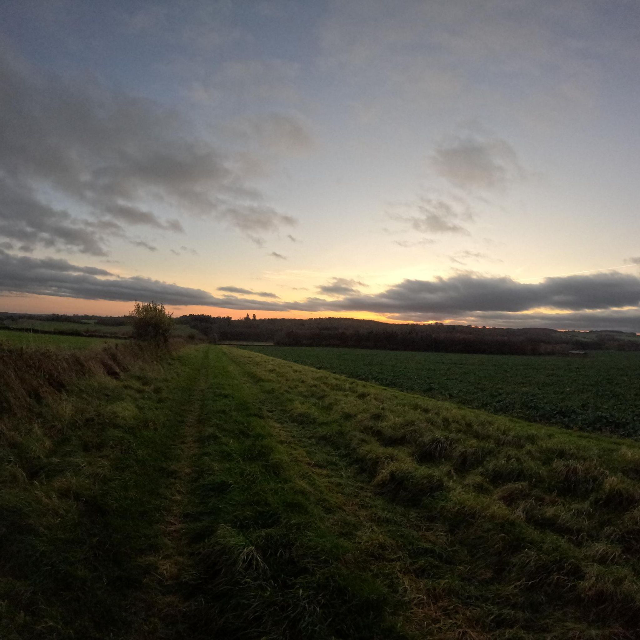
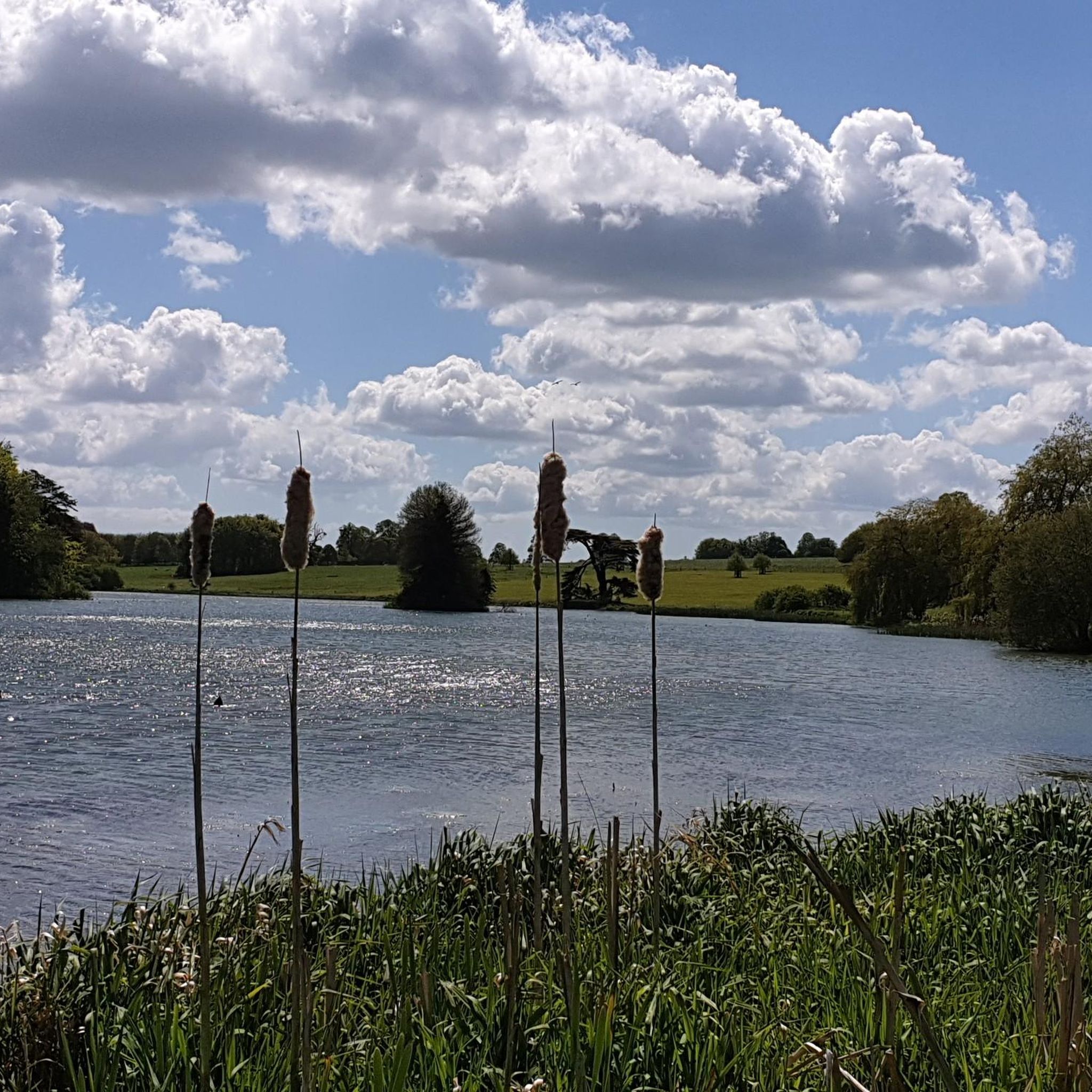
Tips from the Community

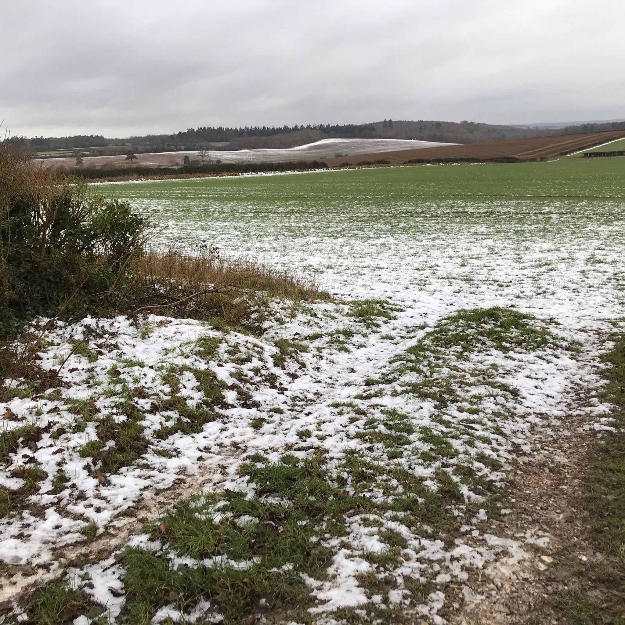
Fontmell Down is a Site of Special Scientific Interest (SSSI) and a nature reserve located in Dorset, England, within the Cranborne Chase Area of Outstanding Natural Beauty. It is known for its beautiful chalk downland, rich biodiversity, and panoramic views. The down is a steep, sinuous flank of a chalk plateau, offering extensive views across the Blackmore Vale, a landscape featured in the novels of Thomas Hardy. The chalk was formed about 100 million years ago from microscopic plants, and the down's steep-sided dry valleys were created by periglacial meltwater erosion during the last Ice Age. Earthworks visible on the down are much more recent, including those from a golf course that was present in the 1930s. In 1645, the downs were the site of an assembly of 3,000 Dorset "Clubmen," who were local residents protesting against the armies of both sides in the English Civil War.
0
0
Bokerley Dyke is a substantial linear earthwork, approximately 5.75 kilometers (3.6 miles) long, located on Cranborne Chase. It runs along part of the border between Dorset and Hampshire, specifically between Woodyates and Martin. It is part of a larger Scheduled Monument that also includes Grim's Ditch and other earthworks. The dyke has a multi-period history. It is believed to have originated in the Bronze Age or Early Iron Age as an important political and cultural boundary. In the 1st century, it was cut through by a Roman road, Ackling Dyke, which ran between Old Sarum and Badbury Rings. In the 4th century, the dyke was remodeled and brought back into use. During this period, the Roman road was blocked. A coin of Valens found during excavations dates this activity to shortly after 364 AD, with some sources suggesting it was built between 367-368 AD. This remodeling may have been a defensive measure against attacks on Britain by Picts, Scots, and Saxons. The Roman road was eventually reopened, but the dyke may have continued to be used as a boundary after the Roman administration ended. Today, it still forms part of the border between the counties of Dorset and Hampshire.
0
0

Beautiful snowdrops in February highly recommend these gardens
1
0
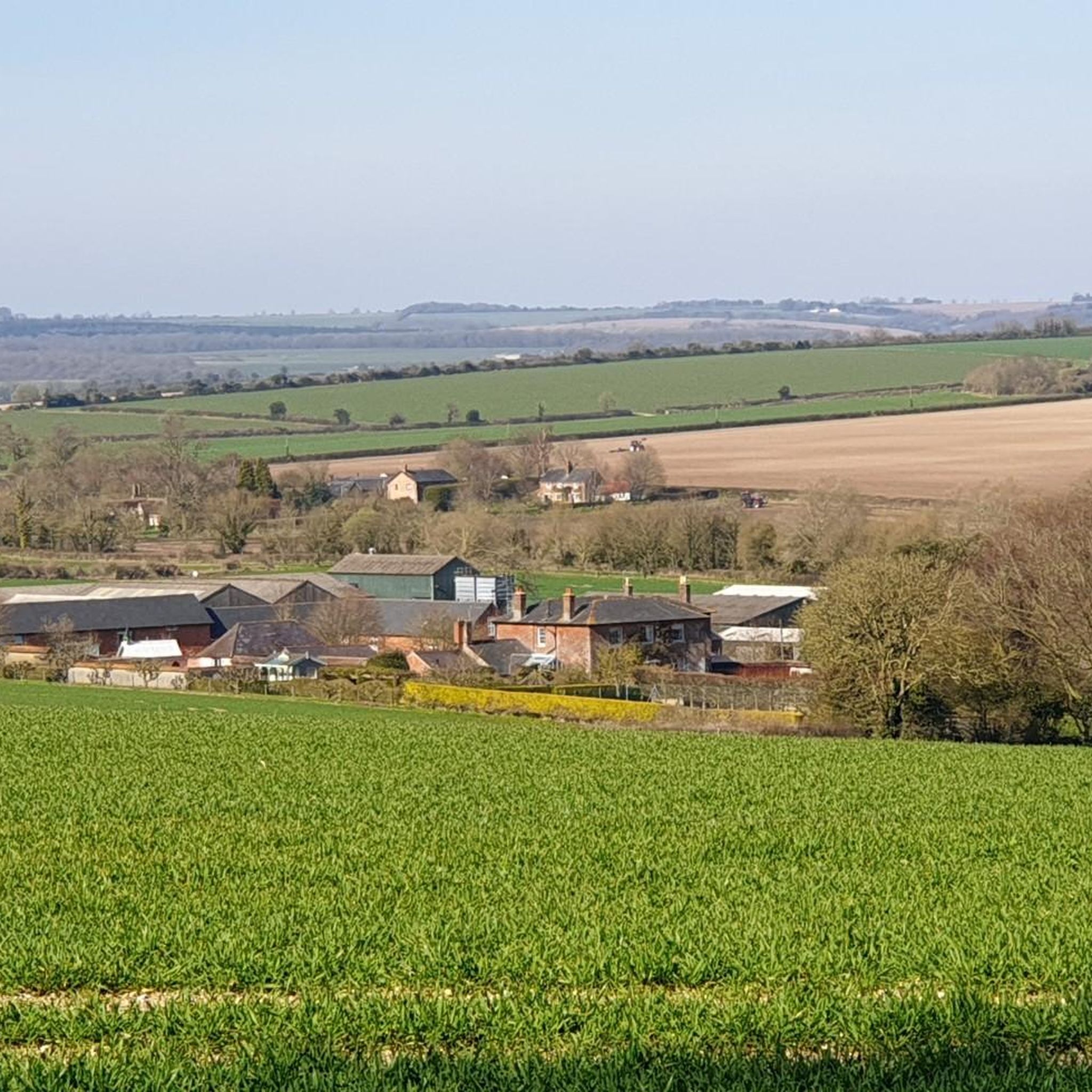
One of the most beautiful places in the south of England 🏴 and amazing views of Wiltshire and Dorset 🤩
0
0
Badbury Rings is an Iron Age hill fort and Scheduled Monument in east Dorset, England. In the Roman era a temple was located immediately west of the fort, and there was a Romano-British town known as Vindocladia ( Known today as Shapwick ) a short distance to the south-west. It sits over 300 feet above sea level, and there are two main phases of construction; the first covered 18 acres and was defended by multiple ditches, while the second was more than twice the size, covering 41 acres and defended by a single ditch and rampart. These ramparts make for great walking, but imagine the terror of trying to scale one whilst under attack from the occupants. Once you'd scaled one, there were more waiting for you. No wonder it was the last fort to be sacked by the Romans. Wonder just how many soldiers died trying to take it. Until 1983 Badbury Rings was privately owned as part of the Kingston Lacy estate, and the owners discouraged investigation of the site.[2] The site now belongs to the National Trust.[2] A survey of the hillfort by the RCHME was begun in 1993. The summit area was cleared of undergrowth by the National Trust in 1997 and the conifer plantation was thinned out. A survey in 1998, which recorded 28 potential hut sites within the ramparts, although some depressions are probably caused by uprooted trees. The first excavations, led by Martin Papworth, took place in 2004, when three evaluation trenches were dug. Almost all of the pottery found was dated to the Late Iron Age. The current evidence does not suggest that the hillfort was a principal settlement in the Early Iron Age. It seems likely that the hillfort became depopulated towards the end of the Late Iron Age, perhaps as the Vindocladia settlement near Shapwick developed.
1
0

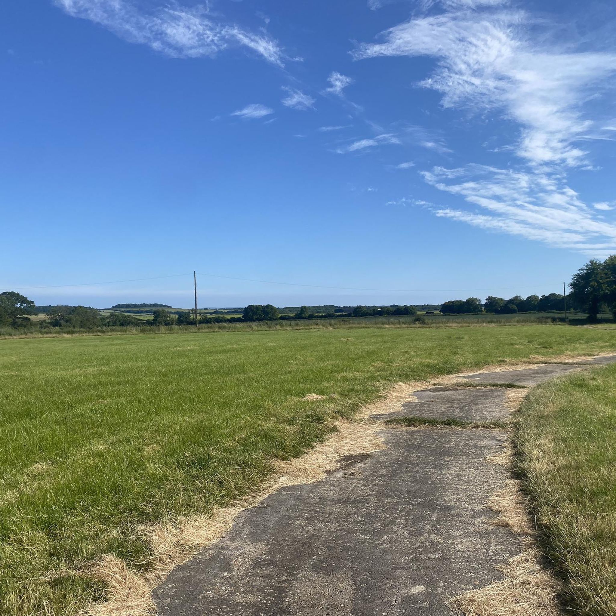
Win Green at 277 m is the highest point on Cranbourne Chase. The tree topped summit also has a Bronze Age hill barrow, topography stone and trig point. Lots of great running loops from here as well as easy parking close by.
0
0
Bradbury Rings is an Iron Age hill fort. The Romans built a temple here and there was a Romano-British town known as Vindocladia nearby. Today, you can run the earthworks and around the edge, it's fun and fascinating. The National Trust own and manage the site but it's open access to all.
0
0
Frequently Asked Questions
What types of natural monuments can I explore around Crichel?
The Crichel area offers a diverse range of natural monuments, from impressive Iron Age hillforts and ancient earthworks to extensive parklands and scenic viewpoints. You can find sites like the panoramic Win Green Summit, the historic Badbury Rings Iron Age hillfort, and the substantial Bokerley Dyke, alongside beautiful chalk downlands and woodlands.
Are there any ancient historical earthworks to visit near Crichel?
Yes, the region is rich in ancient earthworks. You can explore Badbury Rings Iron Age hillfort, known for its concentric ramparts and panoramic views. Another significant site is Bokerley Dyke, a substantial linear earthwork with a multi-period history dating back to the Bronze Age. The immense Great Dorset Cursus, a seven-mile-long earthwork, also traverses the landscape near Crichel.
What natural features can I see at the Crichel Estate itself?
The Crichel Estate features 400 acres of parkland, including a tranquil, crescent-shaped lake covering 50 acres. The landscaped park, designed around the 1770s, offers picturesque scenery and elegant avenues of beech trees. While Crichel House and its gardens are generally private, public footpaths allow visitors to experience the natural beauty of the grounds.
Are there family-friendly natural monuments around Crichel?
Many natural monuments in the area are suitable for families. Badbury Rings Iron Age hillfort is a popular spot for walks and kite flying, offering space for children to explore. The Bluebell Woodland is also a protected, family-friendly forest area, especially beautiful when the bluebells are in bloom.
Where can I find extensive parkland and gardens near Crichel?
A short distance from Crichel, the Kingston Lacy Estate, a National Trust property, offers 8,500 acres of diverse landscapes. This includes heathland, ancient woodland, water meadows, and formal gardens. It features a notable avenue of 731 beech trees and provides numerous walking trails through varied natural environments.
What outdoor activities can I do near these natural monuments?
The area around Crichel is excellent for various outdoor activities. You can find numerous cycling routes, such as the 'Witchampton loop' or 'Horton Tower loop', detailed in the Cycling around Crichel guide. For runners, there are trails like the 'Manswood Trail loop' or 'Crichel House Gate and Arch loop' in the Running Trails around Crichel guide. Mountain biking enthusiasts can explore routes like the 'Win Green and Cranborne Droves Way Loop' from the MTB Trails around Crichel guide.
Are there good spots for panoramic views of the Dorset countryside?
Absolutely. Win Green Summit, the highest point in the Cranborne Chase, offers breathtaking panoramic views over Blackmore Vale and Salisbury Plain, even stretching to the Isle of Wight on clear days. Badbury Rings Iron Age hillfort also provides expansive views of the surrounding Dorset countryside.
Can I spot wildlife at the natural monuments around Crichel?
Yes, the diverse landscapes offer opportunities for wildlife spotting. Fontmell Down, a Site of Special Scientific Interest, is known for its excellent butterfly populations. The extensive parklands of Kingston Lacy are grazed by pedigree Red Ruby Devon cattle and rare breed Portland sheep, adding to the natural charm and biodiversity.
What is Fontmell Down and why is it significant?
Fontmell Down is a beautiful chalk downland within the Cranborne Chase Area of Outstanding Natural Beauty. It's a Site of Special Scientific Interest known for its rich biodiversity, flowery downland, and magnificent views across the Blackmore Vale. It was bought by the National Trust in memory of novelist Thomas Hardy, as it's part of the landscape featured in his novels.
What is the best time of year to visit the natural monuments in this region?
Spring and summer are ideal for enjoying the vibrant flora, such as the bluebells in Bluebell Woodland or the wildflowers at Kingston Lacy. Autumn offers beautiful foliage, especially along the beech avenues. The ancient earthworks like Badbury Rings and Bokerley Dyke can be explored year-round, though clear days provide the best views.
Are there any natural monuments with historical connections to famous figures or events?
Yes, Fontmell Down is significant as it was acquired by the National Trust in memory of the English novelist and poet Thomas Hardy, whose novels often featured the Blackmore Vale landscape. Additionally, the ancient earthworks like Badbury Rings and Bokerley Dyke have deep historical roots, with evidence of Iron Age, Roman, and even Bronze Age activity.
Most popular attractions around Crichel

Get inspired with the komoot mobile app


Explore more
Extend your search for the best caves by checking out these guides of the top ones around Crichel:
